Elevation of Cole Township, MO, USA
Location: United States > Missouri > Benton County >
Longitude: -93.137817
Latitude: 38.3168921
Elevation: 300m / 984feet
Barometric Pressure: 98KPa
Elevation Map:
Satellite Map:
Related Photos:
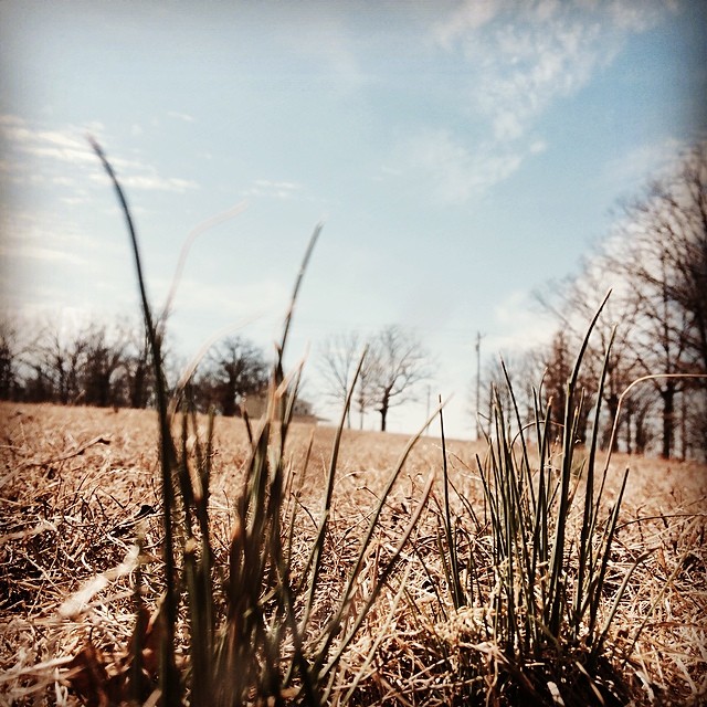
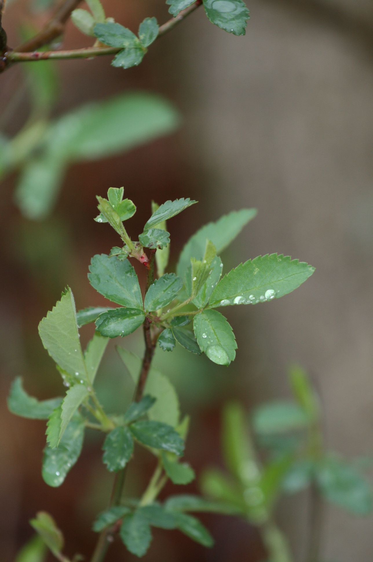
Spring has sprung! #spring #Missouri #wildonions
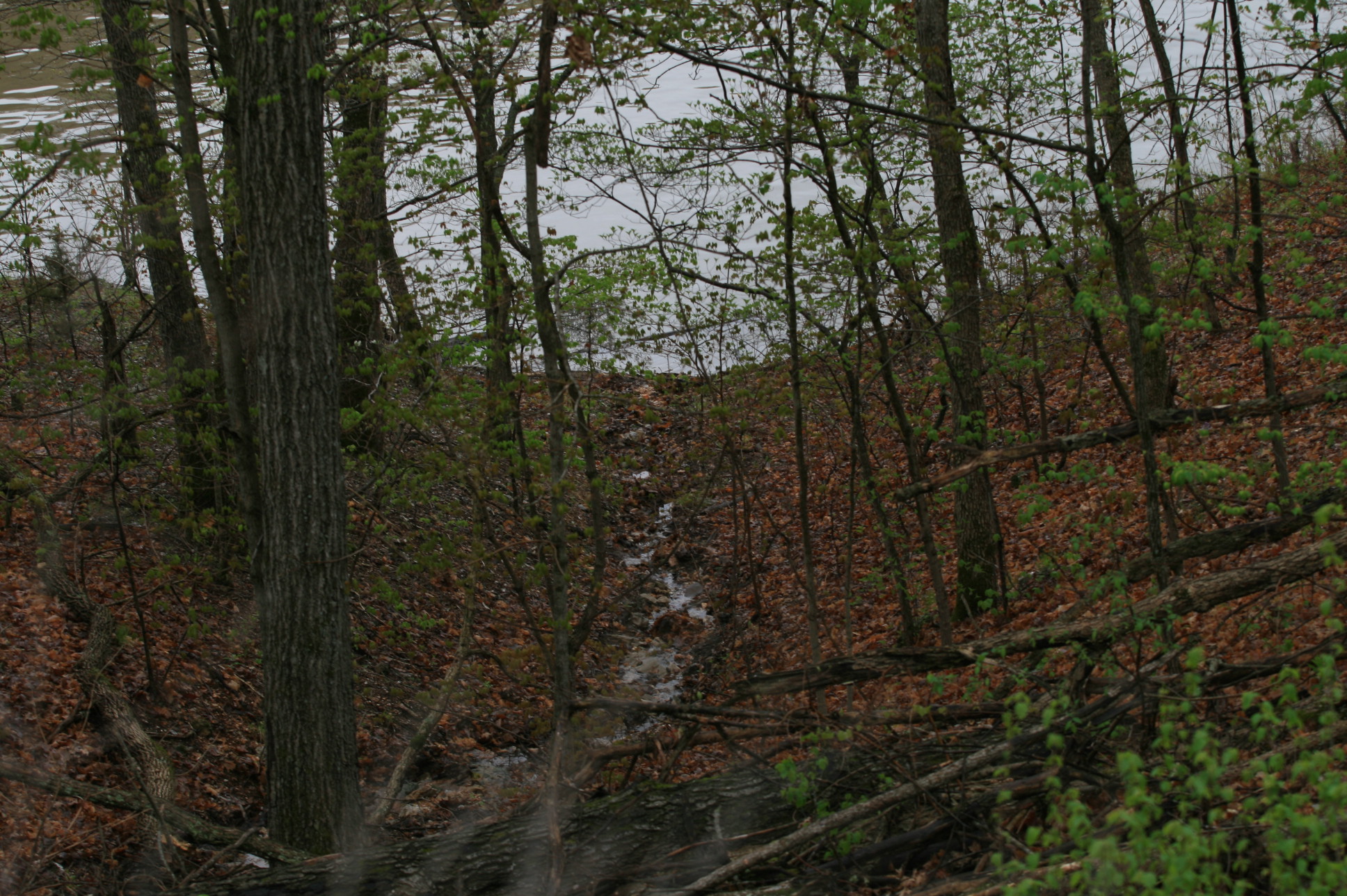
Lake photos April 2008 181
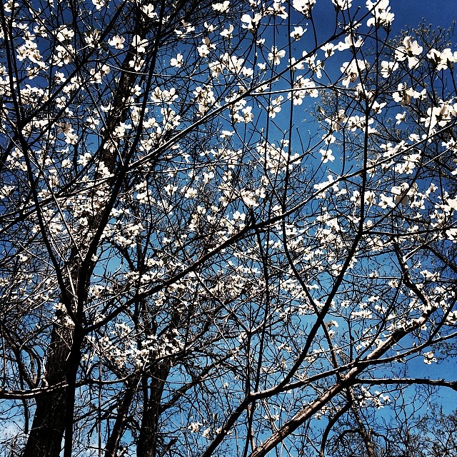
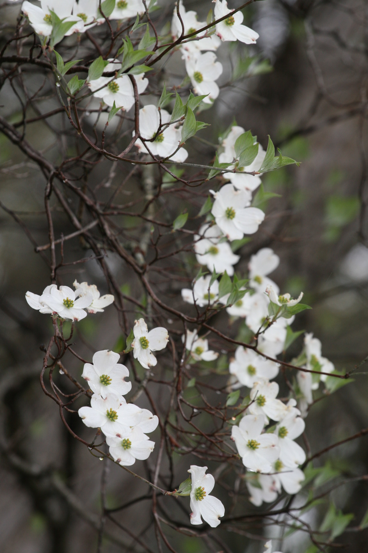
The Dogwoods are in bloom <3

Puppy training
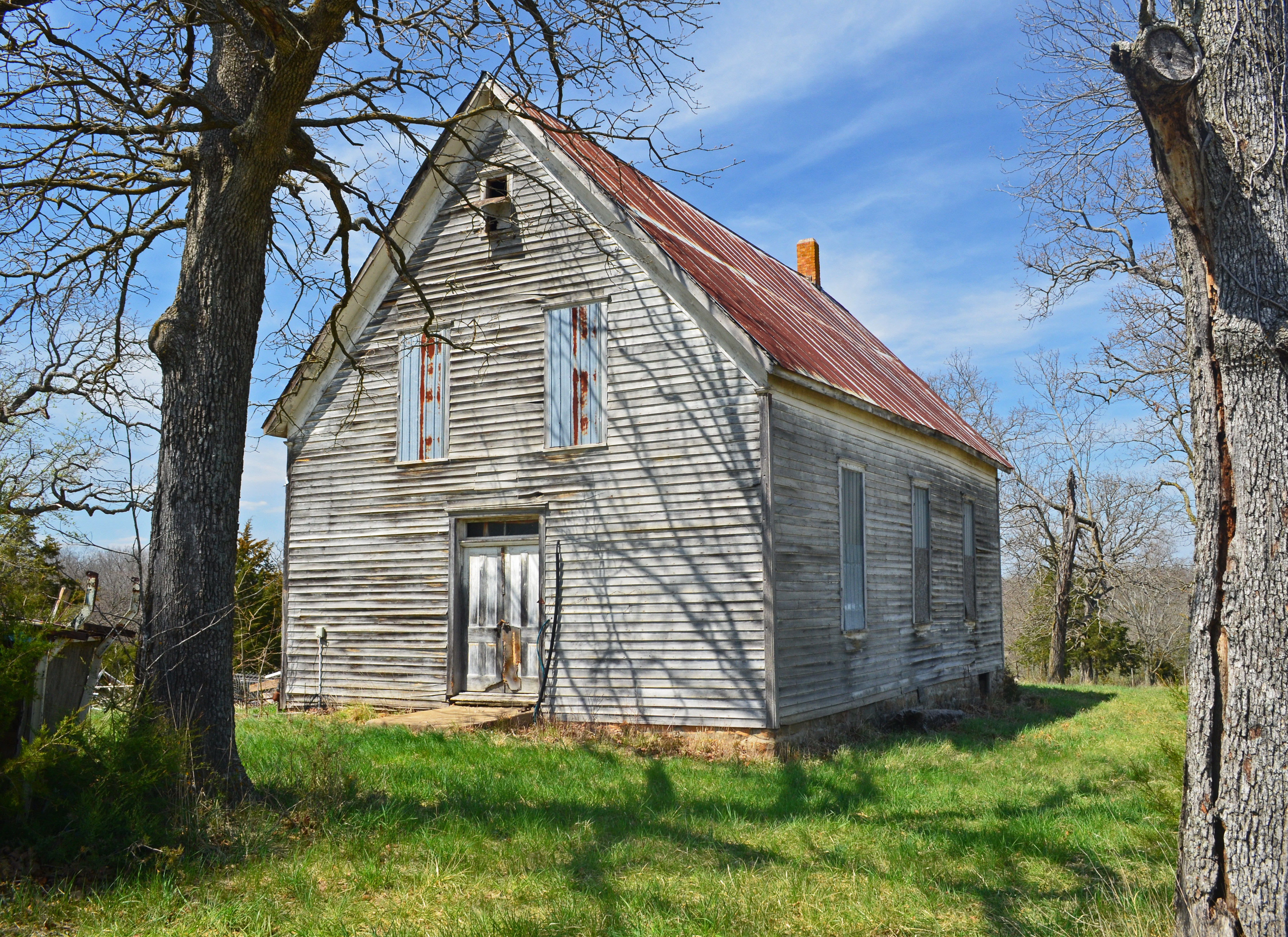
Old Immanuel Lutheran Church

Pelicans heading South for the winter
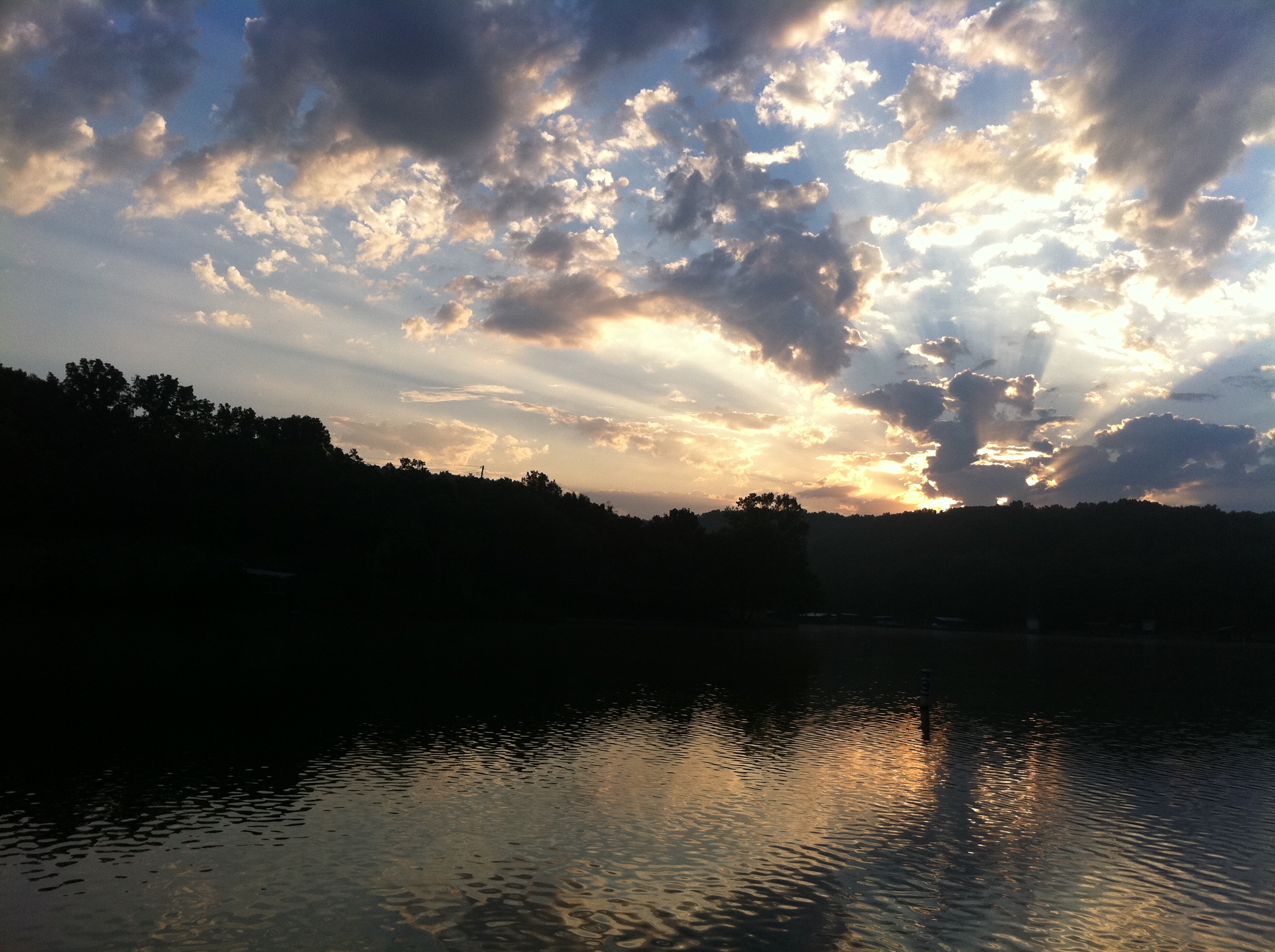
morning at the lake
Lake photos April 2008 180

Lake photos April 2008 179

Lake photos April 2008 178

Lake photos April 2008 177
Lake photos April 2008 176

Lake photos April 2008 174

Lake photos April 2008 171

Lake photos April 2008 170

Lake photos April 2008 169

Lake photos April 2008 168

Lake photos April 2008 167

Lake photos April 2008 166

Lake photos April 2008 165

Lake photos April 2008 164
Topographic Map of Cole Township, MO, USA
Find elevation by address:

Places in Cole Township, MO, USA:
Places near Cole Township, MO, USA:
31154 Passage Ave
26975 State Hwy T
823 Outlook Dr
Minnehaha Drive
908 Long Shore Cir
2415 Lick Creek Rd
State Hwy FF, Edwards, MO, USA
32059 Webb Loop
1084 Golden Goose Dr
Union Township
Arrowhead Road
Buffalo Township
28000 Ivy Bend Rd
32561 N Ivy Bend Rd
32561 N Ivy Bend Rd
Blackbird Road
Armadillo Ridge Road
20 Mama Ln
27205 Cali Ct
Twin Ridge Road
Recent Searches:
- Elevation of Elwyn Dr, Roanoke Rapids, NC, USA
- Elevation of Congressional Dr, Stevensville, MD, USA
- Elevation of Bellview Rd, McLean, VA, USA
- Elevation of Stage Island Rd, Chatham, MA, USA
- Elevation of Shibuya Scramble Crossing, 21 Udagawacho, Shibuya City, Tokyo -, Japan
- Elevation of Jadagoniai, Kaunas District Municipality, Lithuania
- Elevation of Pagonija rock, Kranto 7-oji g. 8"N, Kaunas, Lithuania
- Elevation of Co Rd 87, Jamestown, CO, USA
- Elevation of Tenjo, Cundinamarca, Colombia
- Elevation of Côte-des-Neiges, Montreal, QC H4A 3J6, Canada