Elevation of Passage Ave, Edwards, MO, USA
Location: United States > Missouri > Benton County > Union Township > Edwards >
Longitude: -93.140141
Latitude: 38.2309908
Elevation: 245m / 804feet
Barometric Pressure: 98KPa
Elevation Map:
Satellite Map:
Related Photos:
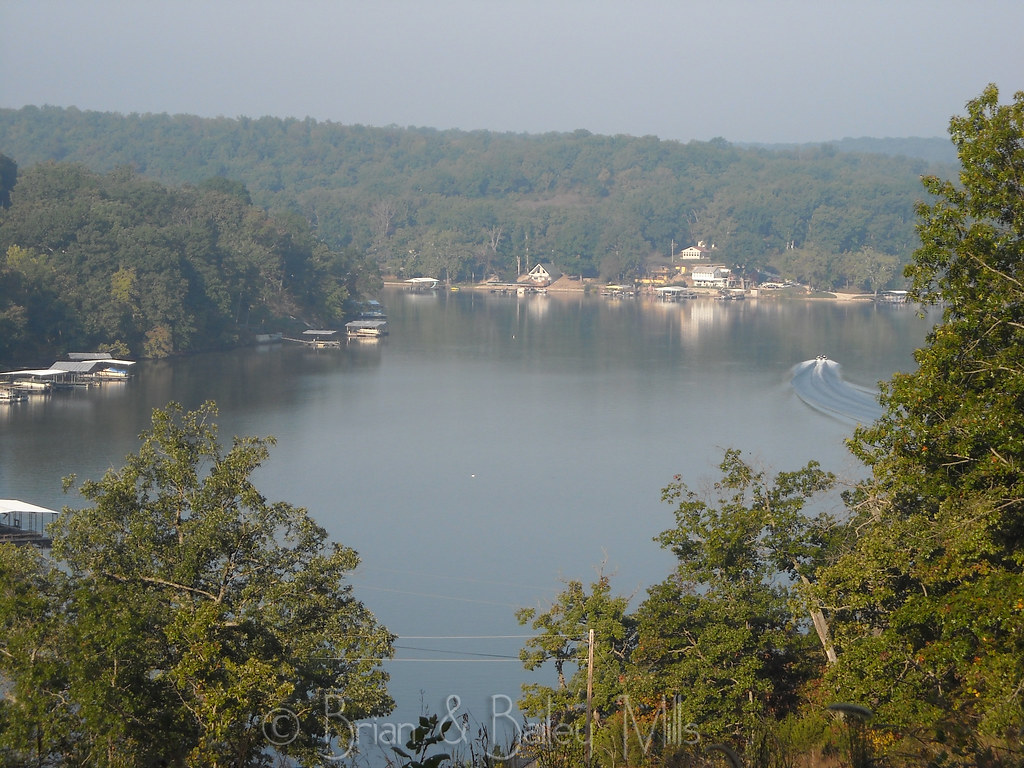
Lake
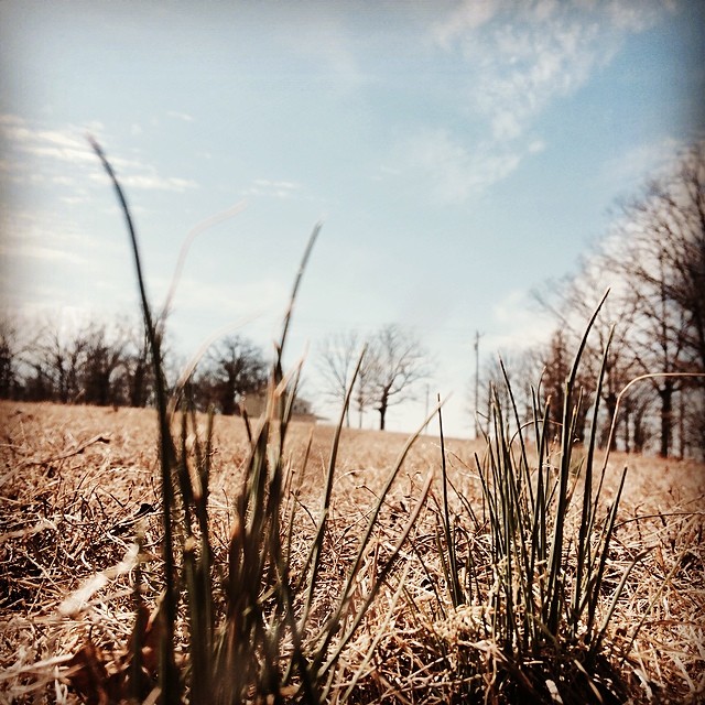
Spring has sprung! #spring #Missouri #wildonions

Cove Sunset
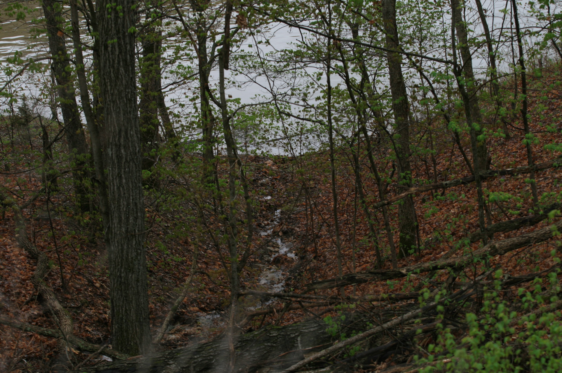
Lake photos April 2008 181

Steven Harvey - bull pride

charley's buffet_20170929_184718

charley's buffet parking lot_20170915_185952
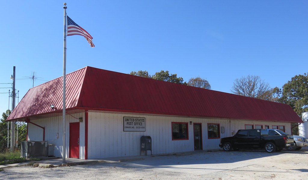
Post Office 65326 (Edwards, Missouri)

Trees are starting to turn.

lake ozark mo

Puppy training

Pelicans heading South for the winter

morning at the lake

God Less America

Missouri July 4

Mark 1 with Red Sealant

Bailey & Harmony

Jesse Driving

Bike Show
Bike Show

Bike Show

Bike Show

Bike Show
Topographic Map of Passage Ave, Edwards, MO, USA
Find elevation by address:

Places near Passage Ave, Edwards, MO, USA:
State Hwy FF, Edwards, MO, USA
Union Township
Cole Township
823 Outlook Dr
908 Long Shore Cir
Minnehaha Drive
2415 Lick Creek Rd
26975 State Hwy T
1084 Golden Goose Dr
32059 Webb Loop
Arrowhead Road
32561 N Ivy Bend Rd
32561 N Ivy Bend Rd
Armadillo Ridge Road
Blackbird Road
20 Mama Ln
Buffalo Township
28000 Ivy Bend Rd
27205 Cali Ct
Twin Ridge Road
Recent Searches:
- Elevation of Erika Dr, Windsor, CA, USA
- Elevation of Village Ln, Finleyville, PA, USA
- Elevation of 24 Oakland Rd #, Scotland, ON N0E 1R0, Canada
- Elevation of Deep Gap Farm Rd E, Mill Spring, NC, USA
- Elevation of Dog Leg Dr, Minden, NV, USA
- Elevation of Dog Leg Dr, Minden, NV, USA
- Elevation of Kambingan Sa Pansol Atbp., Purok 7 Pansol, Candaba, Pampanga, Philippines
- Elevation of Pinewood Dr, New Bern, NC, USA
- Elevation of Mountain View, CA, USA
- Elevation of Foligno, Province of Perugia, Italy