Elevation of Webb Loop, Stover, MO, USA
Location: United States > Missouri > Morgan County > Buffalo Township >
Longitude: -93.001006
Latitude: 38.2462848
Elevation: 263m / 863feet
Barometric Pressure: 98KPa
Elevation Map:
Satellite Map:
Related Photos:
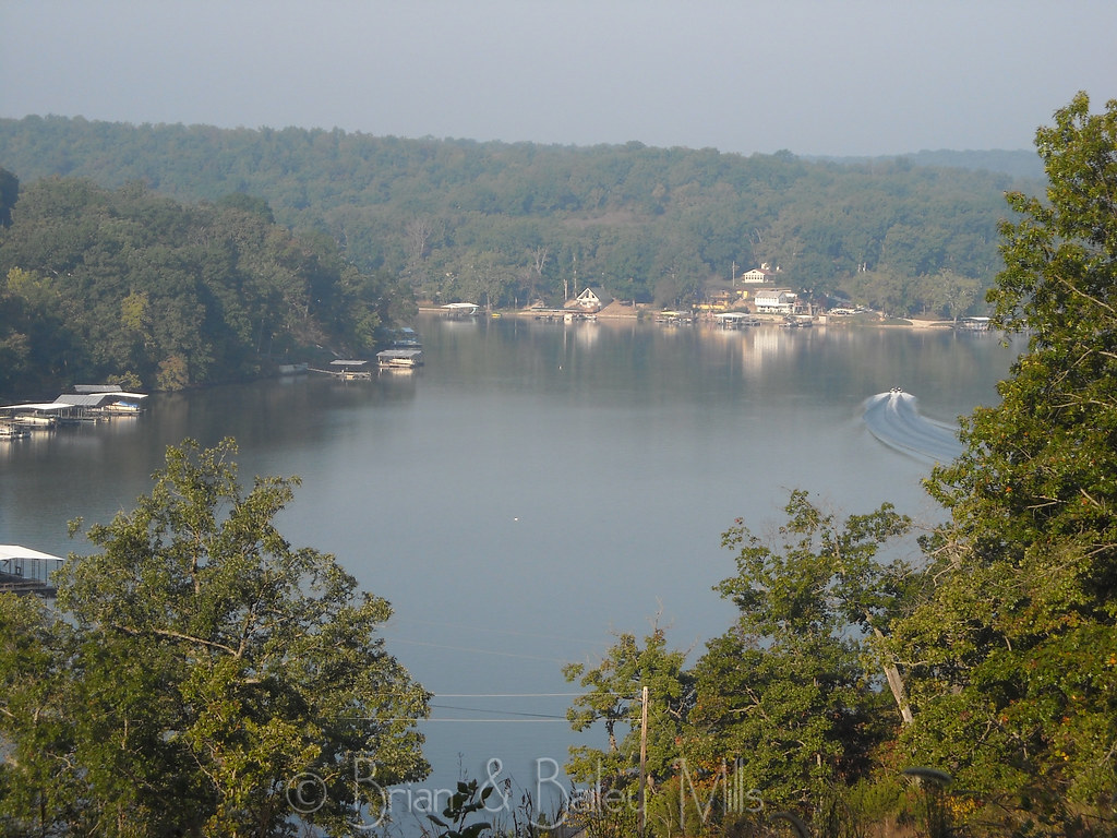
Lake
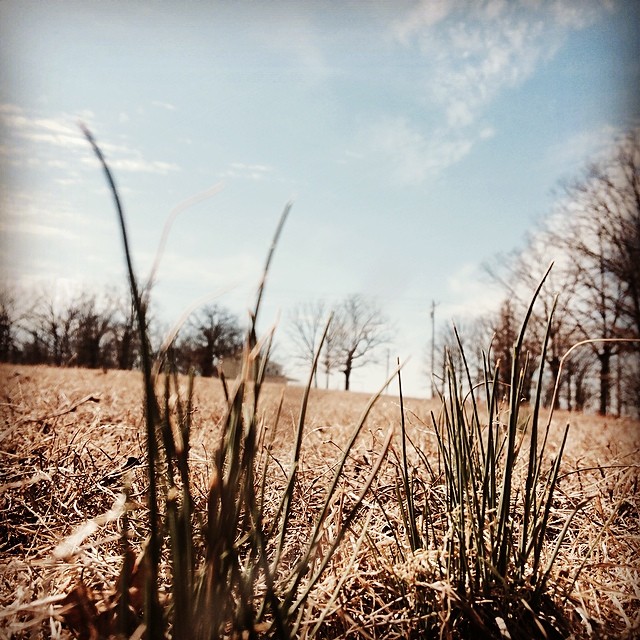
Spring has sprung! #spring #Missouri #wildonions
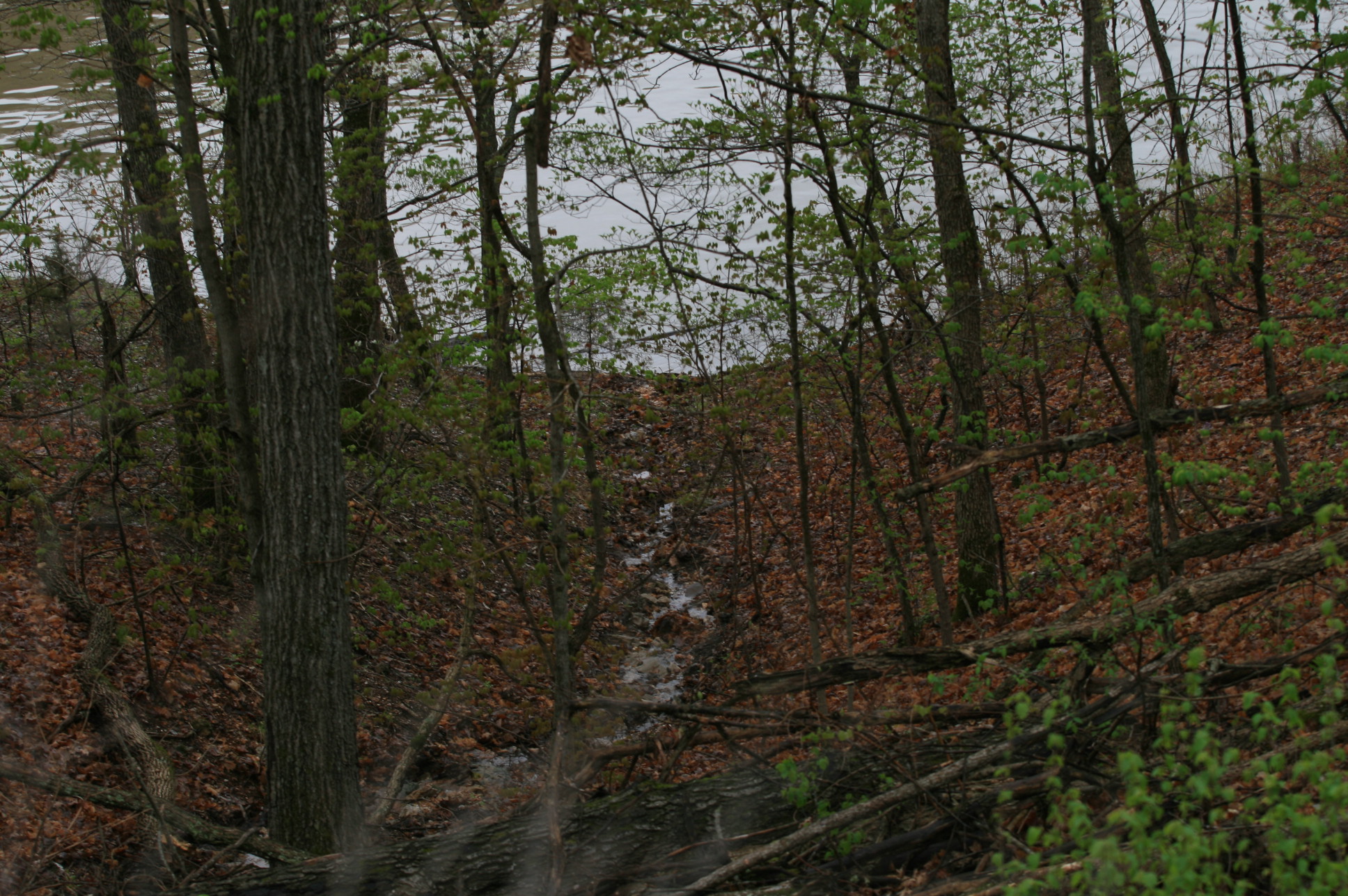
Lake photos April 2008 181
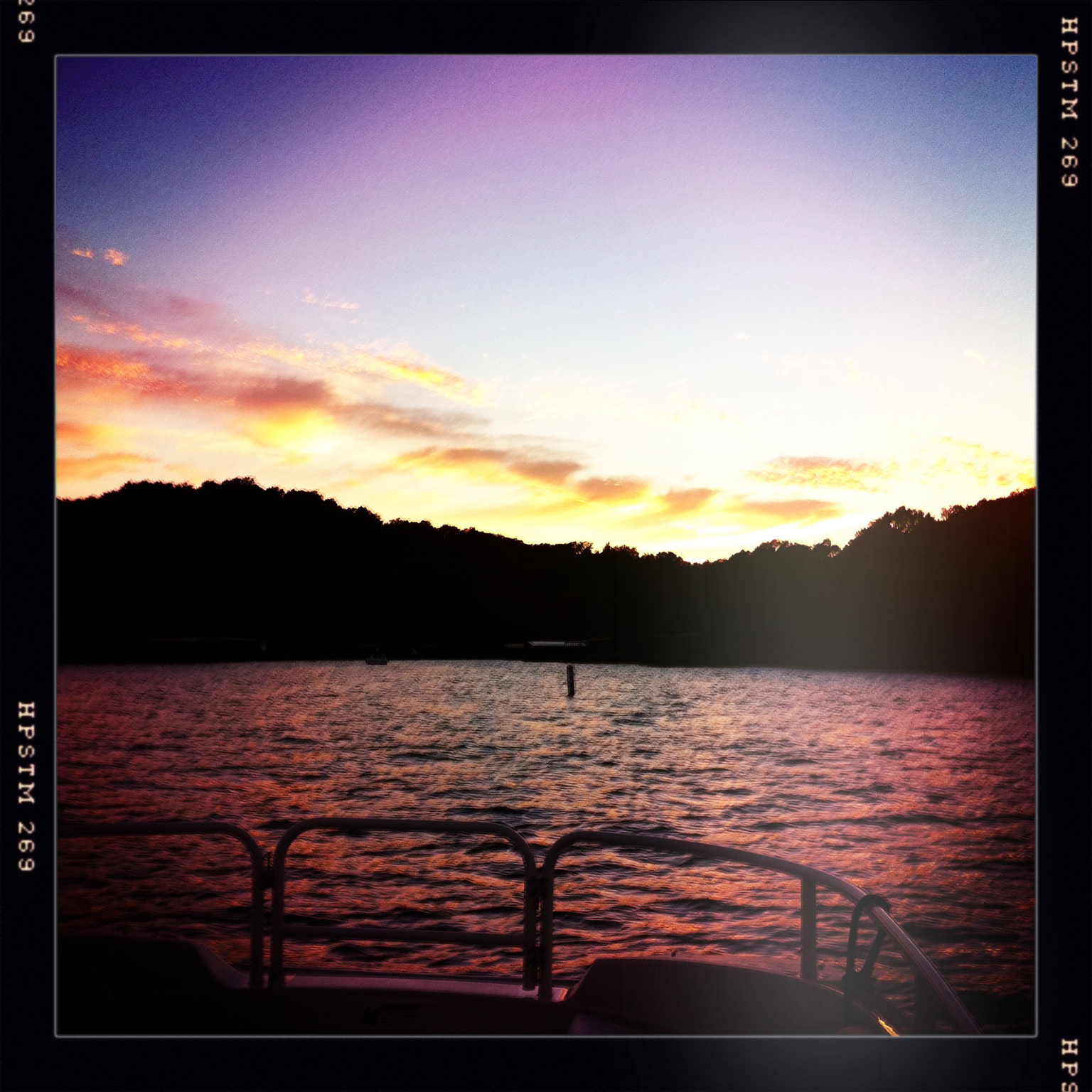
Cove Sunset
Steven Harvey - bull pride

Mom and Dad and Murphy January 2017 (1)

Mom and Dad and Murphy January 2017 (3)

Mom and Dad and Murphy January 2017 (5)

The lovely @darcyduke in the seafood aisle.

LAPTOP - WIN_20141006_194408 (2)_NEWpop

LAPTOP - WP_20140729_17_47_29_Pro

LAPTOP - WP_20140729_17_48_39_Pro
LAPTOP - WP_20141213_002
Post Office 65038 (Laurie, Missouri)
Shoe goals and a big ol turtle I caught
#likefatherlikeson #camo #lakeoftheozarks #lake #lakeweekend #chill #relax #gentrysaim2015

LAPTOP - WIN_20141006_193957

LAPTOP - WIN_20141006_193947

LAPTOP - WIN_20141006_194016 (2)
Topographic Map of Webb Loop, Stover, MO, USA
Find elevation by address:

Places near Webb Loop, Stover, MO, USA:
2415 Lick Creek Rd
Arrowhead Road
908 Long Shore Cir
1084 Golden Goose Dr
Minnehaha Drive
32561 N Ivy Bend Rd
32561 N Ivy Bend Rd
Blackbird Road
Armadillo Ridge Road
823 Outlook Dr
26975 State Hwy T
Buffalo Township
28000 Ivy Bend Rd
20 Mama Ln
27205 Cali Ct
State Hwy FF, Edwards, MO, USA
31154 Passage Ave
Twin Ridge Road
Cole Township
Union Township
Recent Searches:
- Elevation of Jalan Senandin, Lutong, Miri, Sarawak, Malaysia
- Elevation of Bilohirs'k
- Elevation of 30 Oak Lawn Dr, Barkhamsted, CT, USA
- Elevation of Luther Road, Luther Rd, Auburn, CA, USA
- Elevation of Unnamed Road, Respublika Severnaya Osetiya — Alaniya, Russia
- Elevation of Verkhny Fiagdon, North Ossetia–Alania Republic, Russia
- Elevation of F. Viola Hiway, San Rafael, Bulacan, Philippines
- Elevation of Herbage Dr, Gulfport, MS, USA
- Elevation of Lilac Cir, Haldimand, ON N3W 2G9, Canada
- Elevation of Harrod Branch Road, Harrod Branch Rd, Kentucky, USA