Elevation of Minnehaha Drive, Minnehaha Dr, Stover, MO, USA
Location: United States > Missouri > Morgan County > Buffalo Township >
Longitude: -93.029227
Latitude: 38.2653907
Elevation: 230m / 755feet
Barometric Pressure: 99KPa
Elevation Map:
Satellite Map:
Related Photos:
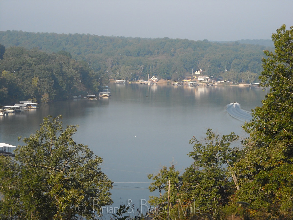
Lake

Spring has sprung! #spring #Missouri #wildonions

Cove Sunset

Lake photos April 2008 181

Shoe goals and a big ol turtle I caught

#likefatherlikeson #camo #lakeoftheozarks #lake #lakeweekend #chill #relax #gentrysaim2015

LAPTOP - WIN_20141006_194408 (2)_NEWpop

LAPTOP - WP_20140729_17_47_29_Pro

LAPTOP - WP_20140729_17_48_39_Pro
LAPTOP - WP_20141213_002
Topographic Map of Minnehaha Drive, Minnehaha Dr, Stover, MO, USA
Find elevation by address:

Places near Minnehaha Drive, Minnehaha Dr, Stover, MO, USA:
908 Long Shore Cir
823 Outlook Dr
2415 Lick Creek Rd
32059 Webb Loop
26975 State Hwy T
1084 Golden Goose Dr
Arrowhead Road
32561 N Ivy Bend Rd
32561 N Ivy Bend Rd
Blackbird Road
Buffalo Township
Armadillo Ridge Road
28000 Ivy Bend Rd
State Hwy FF, Edwards, MO, USA
20 Mama Ln
31154 Passage Ave
Cole Township
27205 Cali Ct
Union Township
Twin Ridge Road
Recent Searches:
- Elevation of Royal Ontario Museum, Queens Park, Toronto, ON M5S 2C6, Canada
- Elevation of Groblershoop, South Africa
- Elevation of Power Generation Enterprises | Industrial Diesel Generators, Oak Ave, Canyon Country, CA, USA
- Elevation of Chesaw Rd, Oroville, WA, USA
- Elevation of N, Mt Pleasant, UT, USA
- Elevation of 6 Rue Jules Ferry, Beausoleil, France
- Elevation of Sattva Horizon, 4JC6+G9P, Vinayak Nagar, Kattigenahalli, Bengaluru, Karnataka, India
- Elevation of Great Brook Sports, Gold Star Hwy, Groton, CT, USA
- Elevation of 10 Mountain Laurels Dr, Nashua, NH, USA
- Elevation of 16 Gilboa Ln, Nashua, NH, USA