Elevation of Harrisburg, AR, USA
Location: United States > Arkansas > Poinsett County > Bolivar Township >
Longitude: -90.716778
Latitude: 35.5642471
Elevation: 92m / 302feet
Barometric Pressure: 100KPa
Elevation Map:
Satellite Map:
Related Photos:

#smokestack #lightning driver shot

Z11_3733 - Version 2
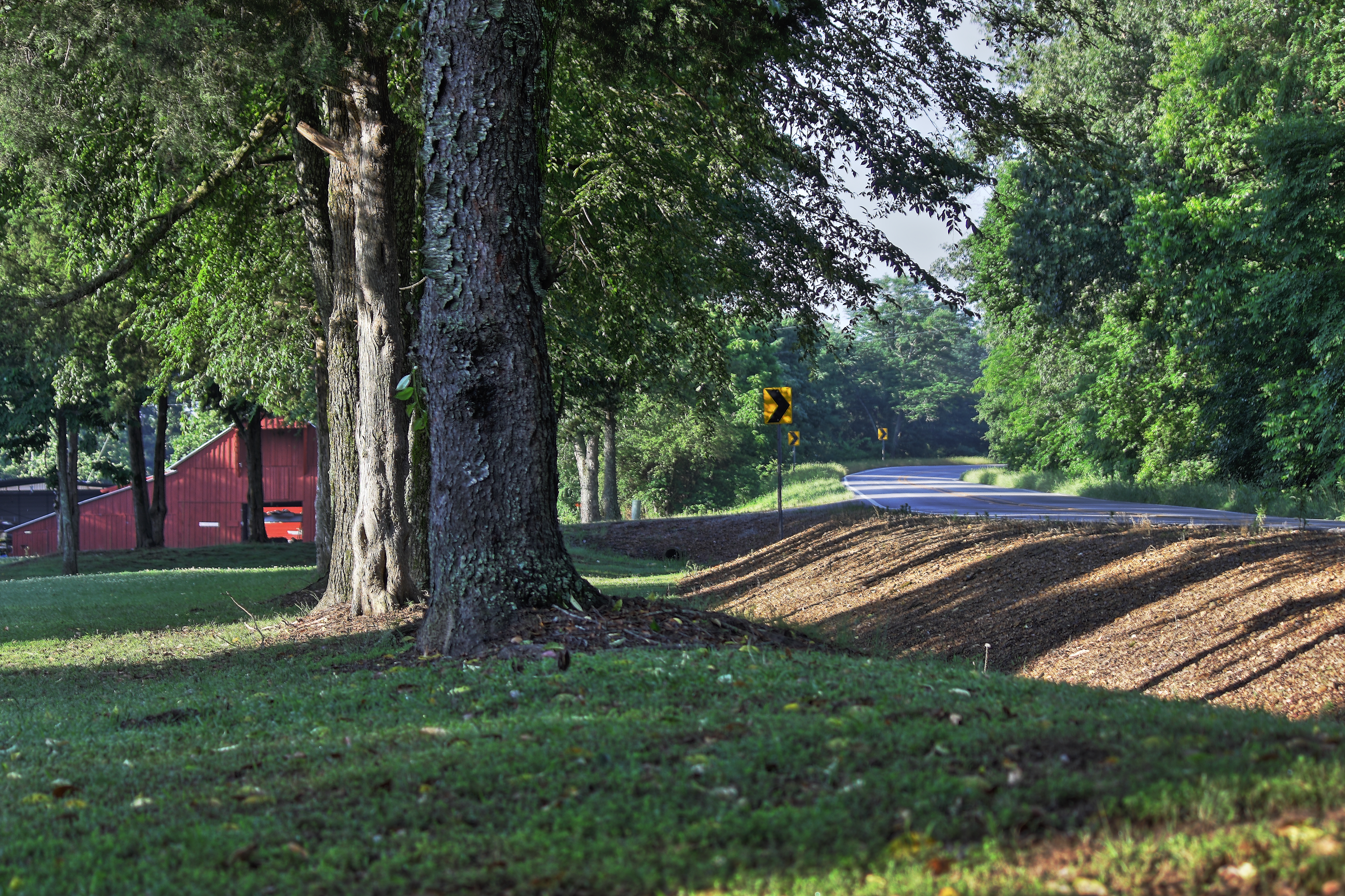
Along Crowley's Ridge
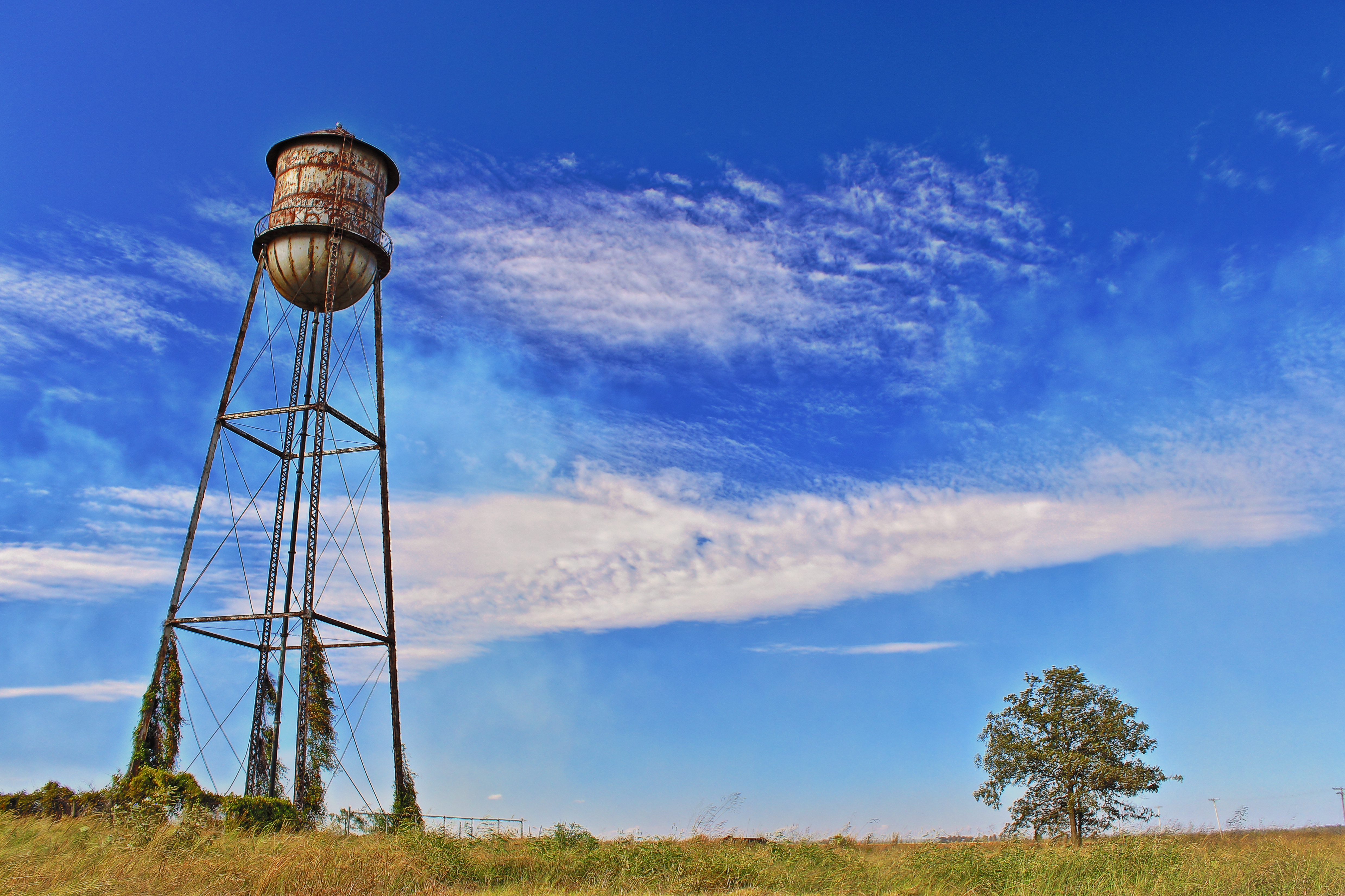
Rusty Water Tower

Arkansas Sunset
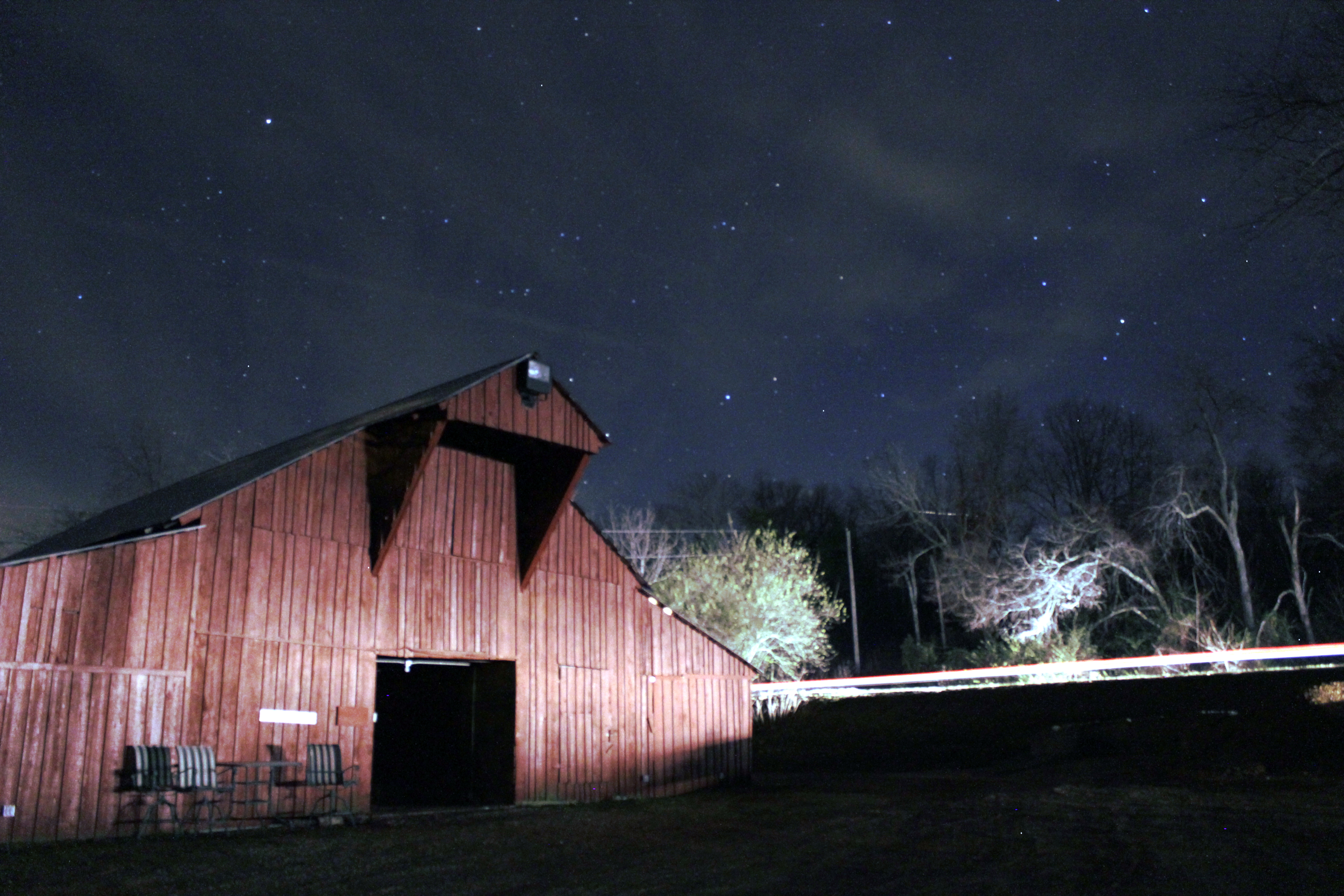
Barn under the Stars
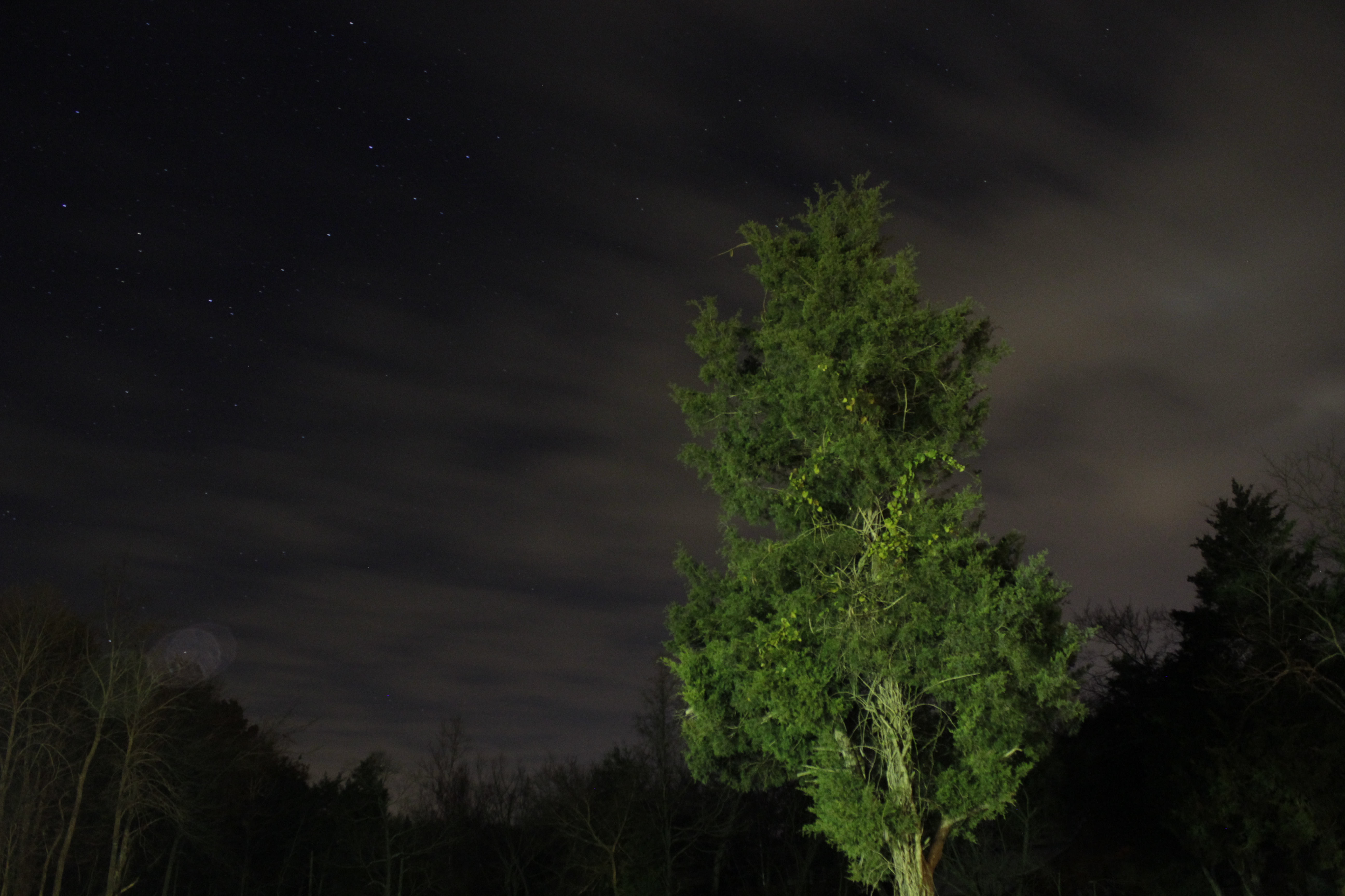
Looking Up
Topographic Map of Harrisburg, AR, USA
Find elevation by address:

Places in Harrisburg, AR, USA:
Places near Harrisburg, AR, USA:
Bolivar Township
Hwy 14 E, Harrisburg, AR, USA
Butterfly Rd, Harrisburg, AR, USA
Scott Township
Poinsett County
Greenfield Township
AR-1, Cherry Valley, AR, USA
AR-14, Trumann, AR, USA
AR-, Cherry Valley, AR, USA
Co Rd, Jonesboro, AR, USA
AR-69, Trumann, AR, USA
Mitchell Township
Cherry Valley
S Railroad St, Cherry Valley, AR, USA
Lunsford Township
Maple Grove Ln, Trumann, AR, USA
Coldwater Township
West Prairie Township
Co Rd, Jonesboro, AR, USA
Van Buren St, Weiner, AR, USA
Recent Searches:
- Elevation of Dog Leg Dr, Minden, NV, USA
- Elevation of Dog Leg Dr, Minden, NV, USA
- Elevation of Kambingan Sa Pansol Atbp., Purok 7 Pansol, Candaba, Pampanga, Philippines
- Elevation of Pinewood Dr, New Bern, NC, USA
- Elevation of Mountain View, CA, USA
- Elevation of Foligno, Province of Perugia, Italy
- Elevation of Blauwestad, Netherlands
- Elevation of Bella Terra Blvd, Estero, FL, USA
- Elevation of Estates Loop, Priest River, ID, USA
- Elevation of Woodland Oak Pl, Thousand Oaks, CA, USA