Elevation of Greenfield Township, AR, USA
Location: United States > Arkansas > Poinsett County >
Longitude: -90.696285
Latitude: 35.6731403
Elevation: 75m / 246feet
Barometric Pressure: 100KPa
Elevation Map:
Satellite Map:
Related Photos:

Part of Bryan's collection; view from...

#Ozark National #Forest, view from #Hwy23. #cameraplus
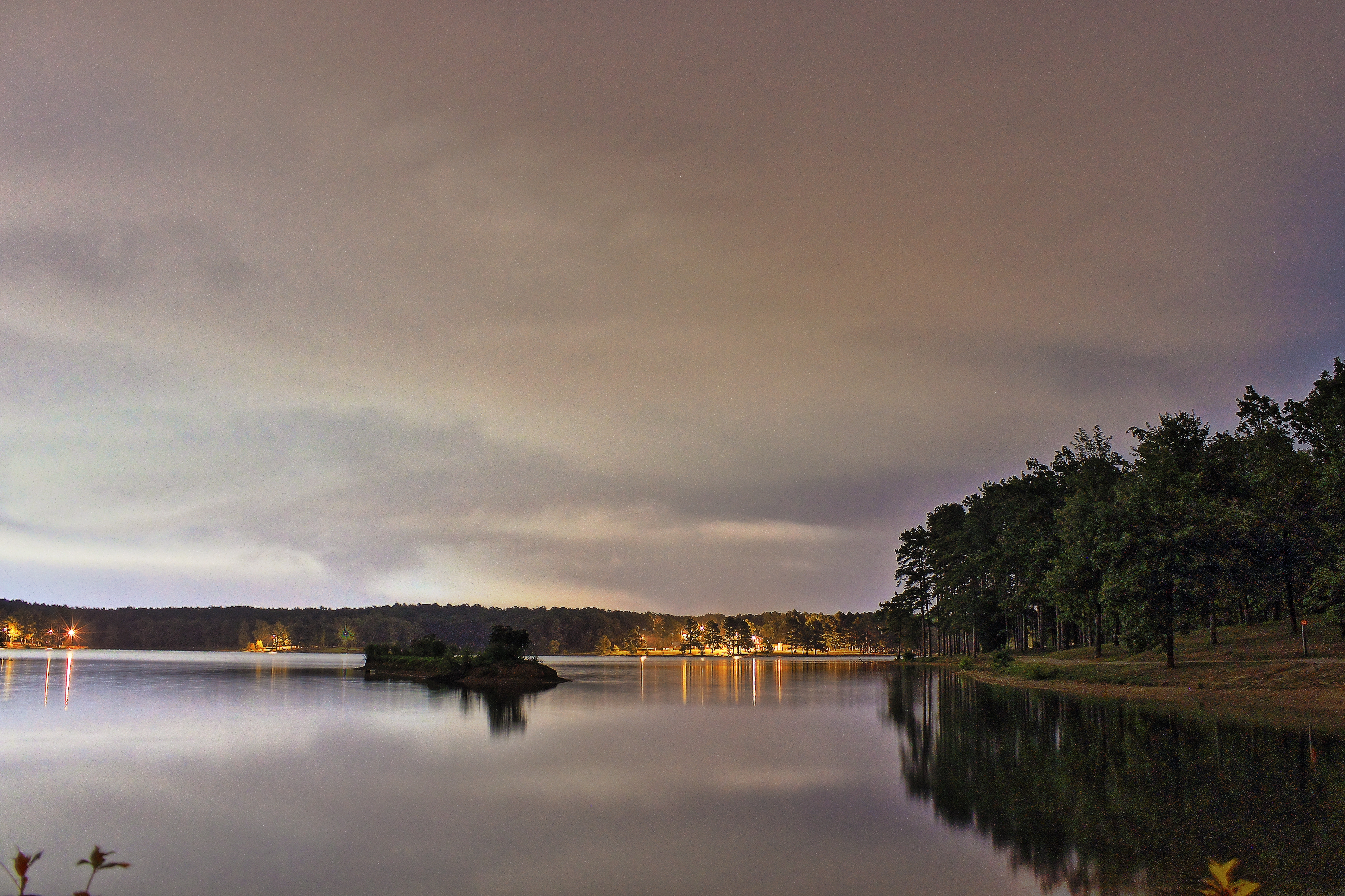
Craighead Forest Lake at night

Sun peaking through the trees
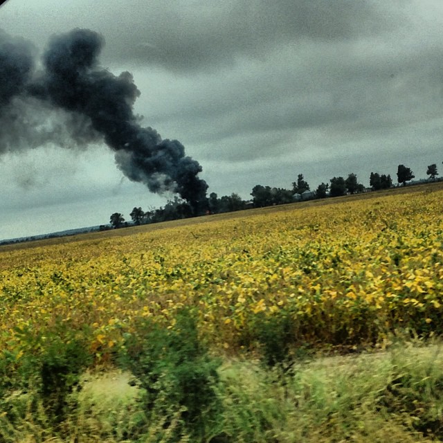
#smokestack #lightning driver shot
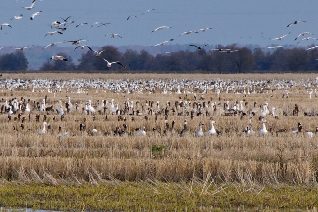
Into Crowley's Ridge

snow 6
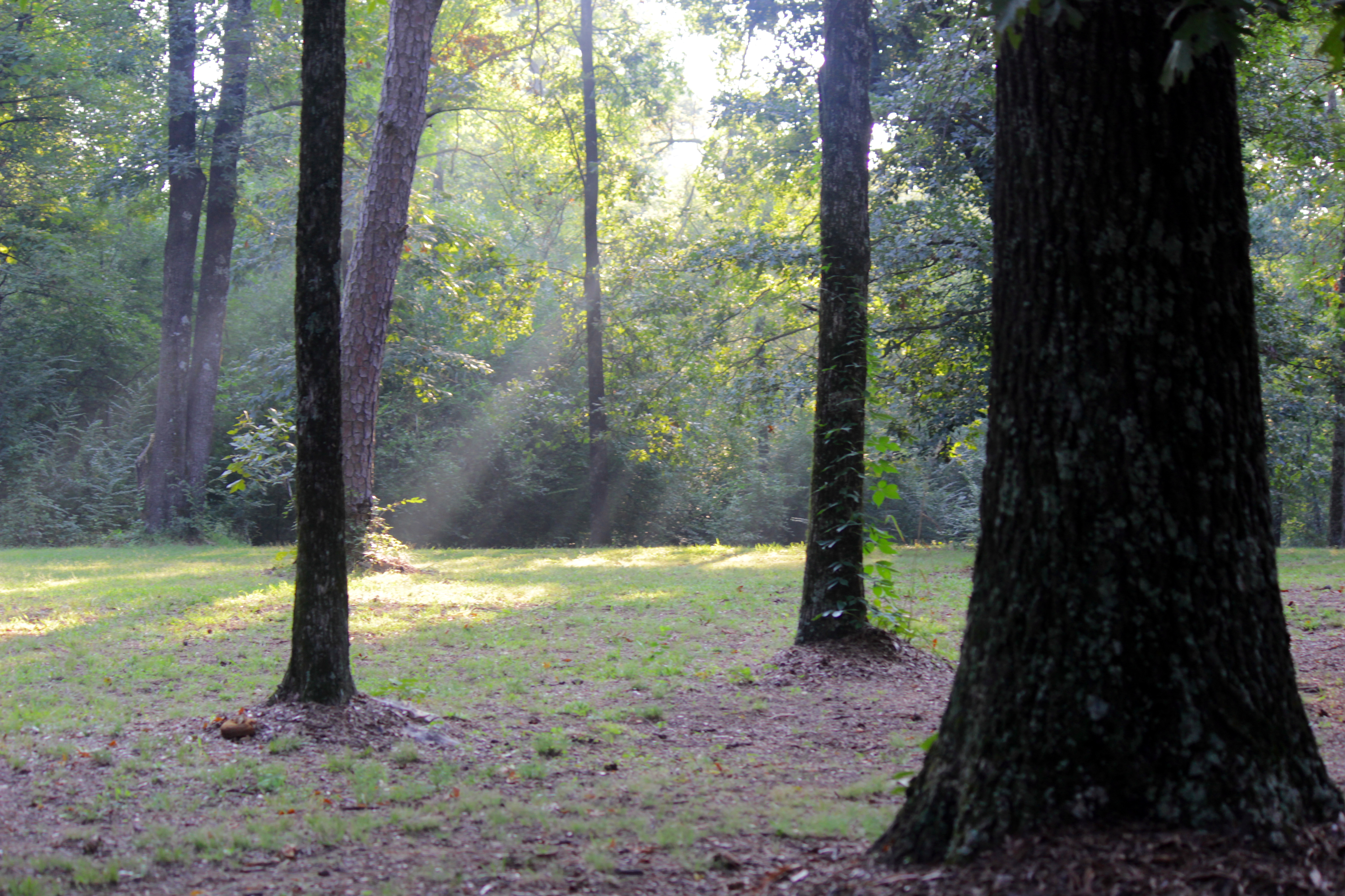
The Sun breaks through the trees

Garvan Woodland Gardens, July 2008

at Malco Hollywood Cinema
Z11_3733 - Version 2

snow 5
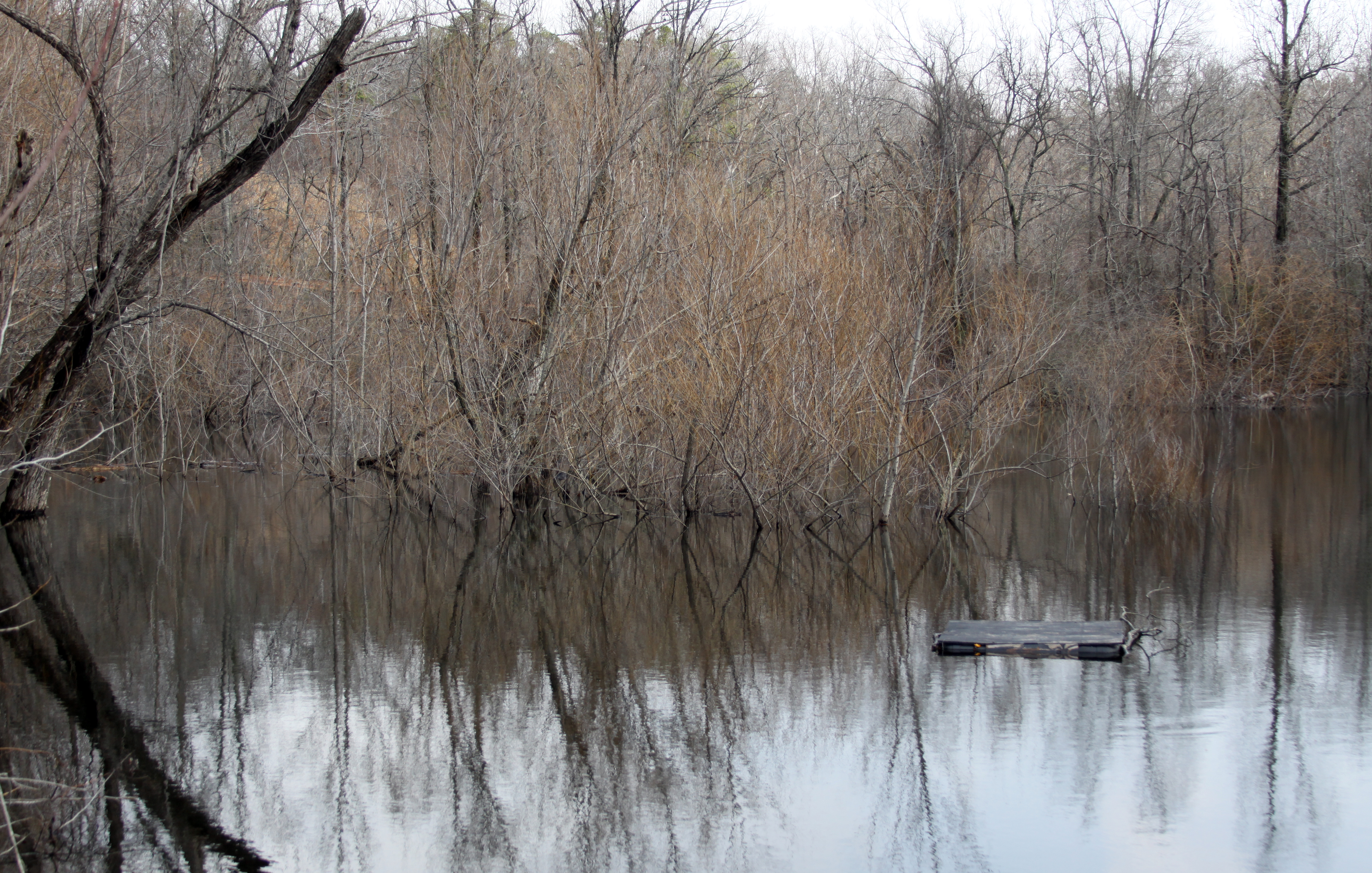
Gone Fishin'

Craighead Forest Park
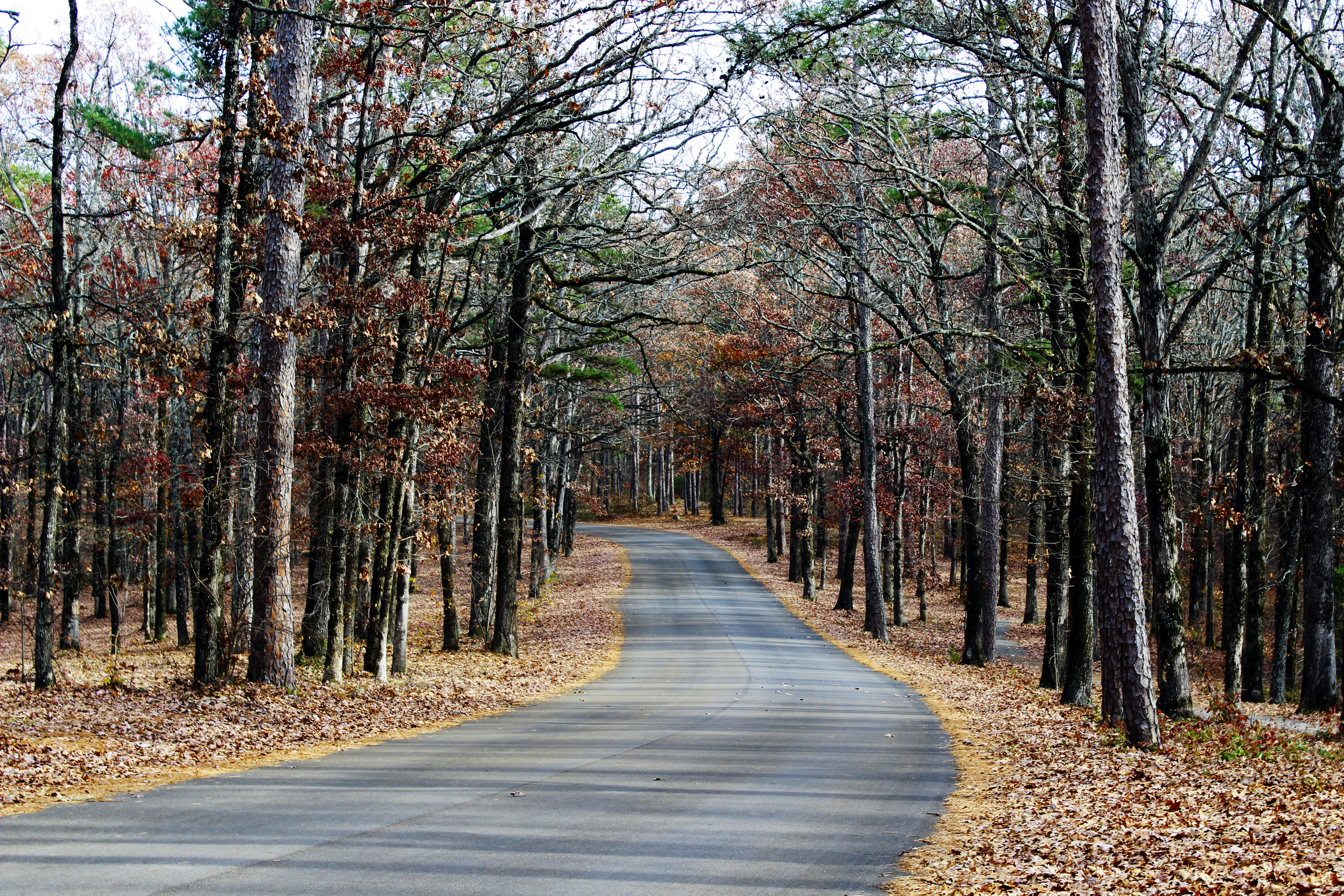
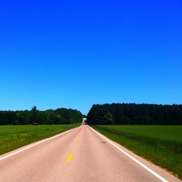
Country Road
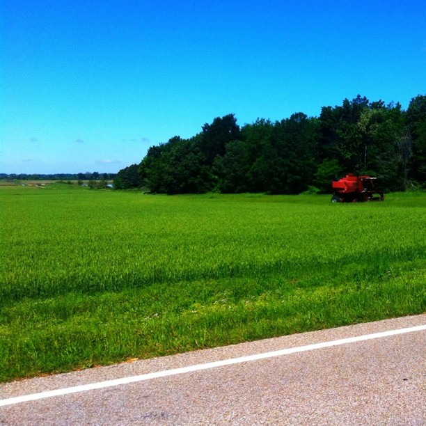
Abandoned combine near Crowley's Ridge
Topographic Map of Greenfield Township, AR, USA
Find elevation by address:

Places in Greenfield Township, AR, USA:
Places near Greenfield Township, AR, USA:
Butterfly Rd, Harrisburg, AR, USA
Co Rd, Jonesboro, AR, USA
Co Rd, Jonesboro, AR, USA
Greenfield Township
Poinsett County
AR-69, Trumann, AR, USA
Bolivar Township
1608 Troutman Cir
1506 Branchwood Ln
1494 Sullivan Cir
Harrisburg Rd, Jonesboro, AR, USA
Hwy 14 E, Harrisburg, AR, USA
Harrisburg
4905 Outback Rd Dr
Valley View Junior High School
3112 Colony Dr
US 49, Jonesboro, AR, USA
Savanah Hills
3609 Ingels Rd
2601 Neely Rd
Recent Searches:
- Elevation of Dog Leg Dr, Minden, NV, USA
- Elevation of Dog Leg Dr, Minden, NV, USA
- Elevation of Kambingan Sa Pansol Atbp., Purok 7 Pansol, Candaba, Pampanga, Philippines
- Elevation of Pinewood Dr, New Bern, NC, USA
- Elevation of Mountain View, CA, USA
- Elevation of Foligno, Province of Perugia, Italy
- Elevation of Blauwestad, Netherlands
- Elevation of Bella Terra Blvd, Estero, FL, USA
- Elevation of Estates Loop, Priest River, ID, USA
- Elevation of Woodland Oak Pl, Thousand Oaks, CA, USA