Elevation of Hwy 14 E, Harrisburg, AR, USA
Location: United States > Arkansas > Poinsett County > Bolivar Township > Harrisburg >
Longitude: -90.670511
Latitude: 35.568761
Elevation: 87m / 285feet
Barometric Pressure: 100KPa
Elevation Map:
Satellite Map:
Related Photos:

#smokestack #lightning driver shot

Z11_3733 - Version 2
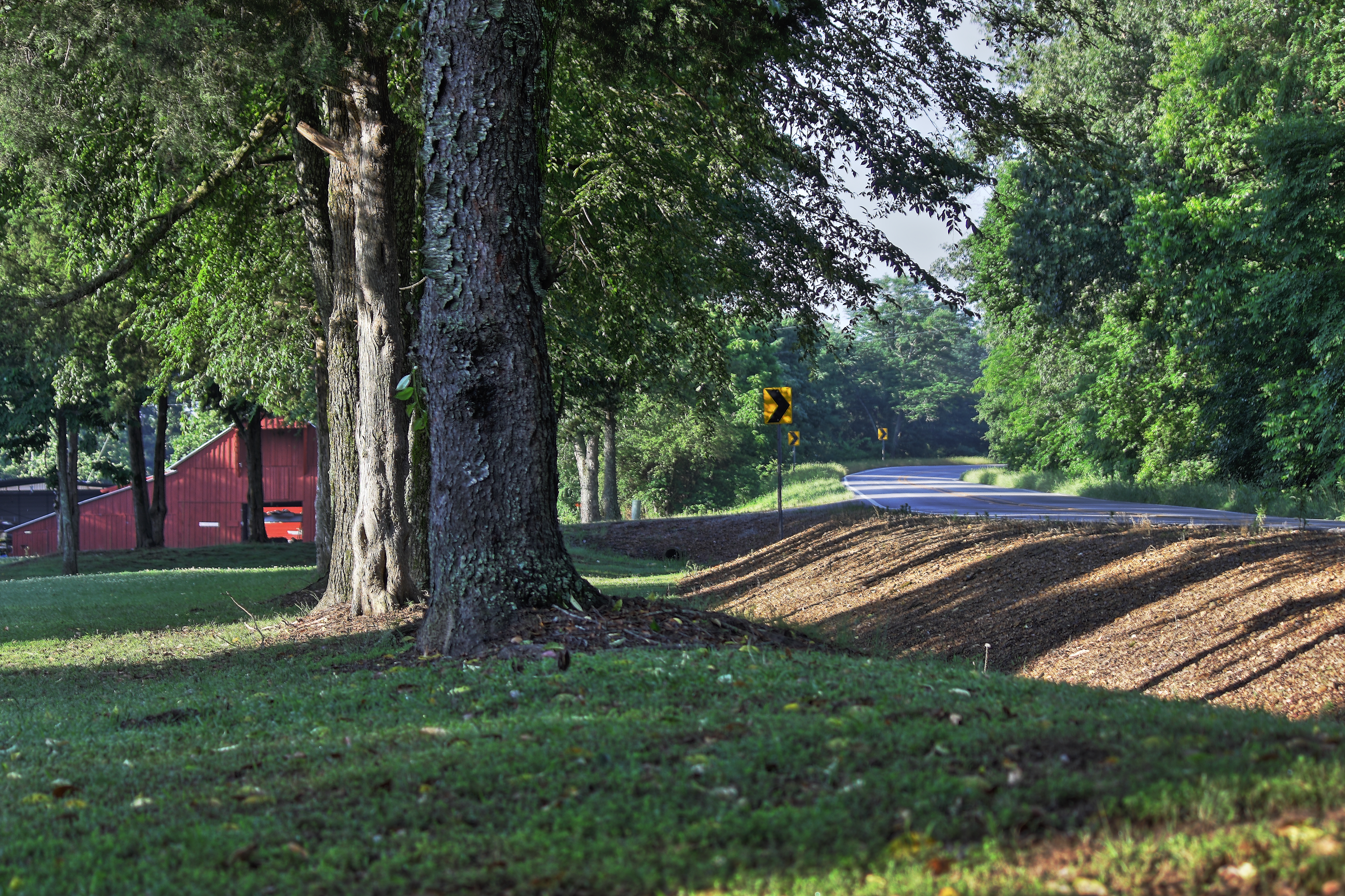
Along Crowley's Ridge
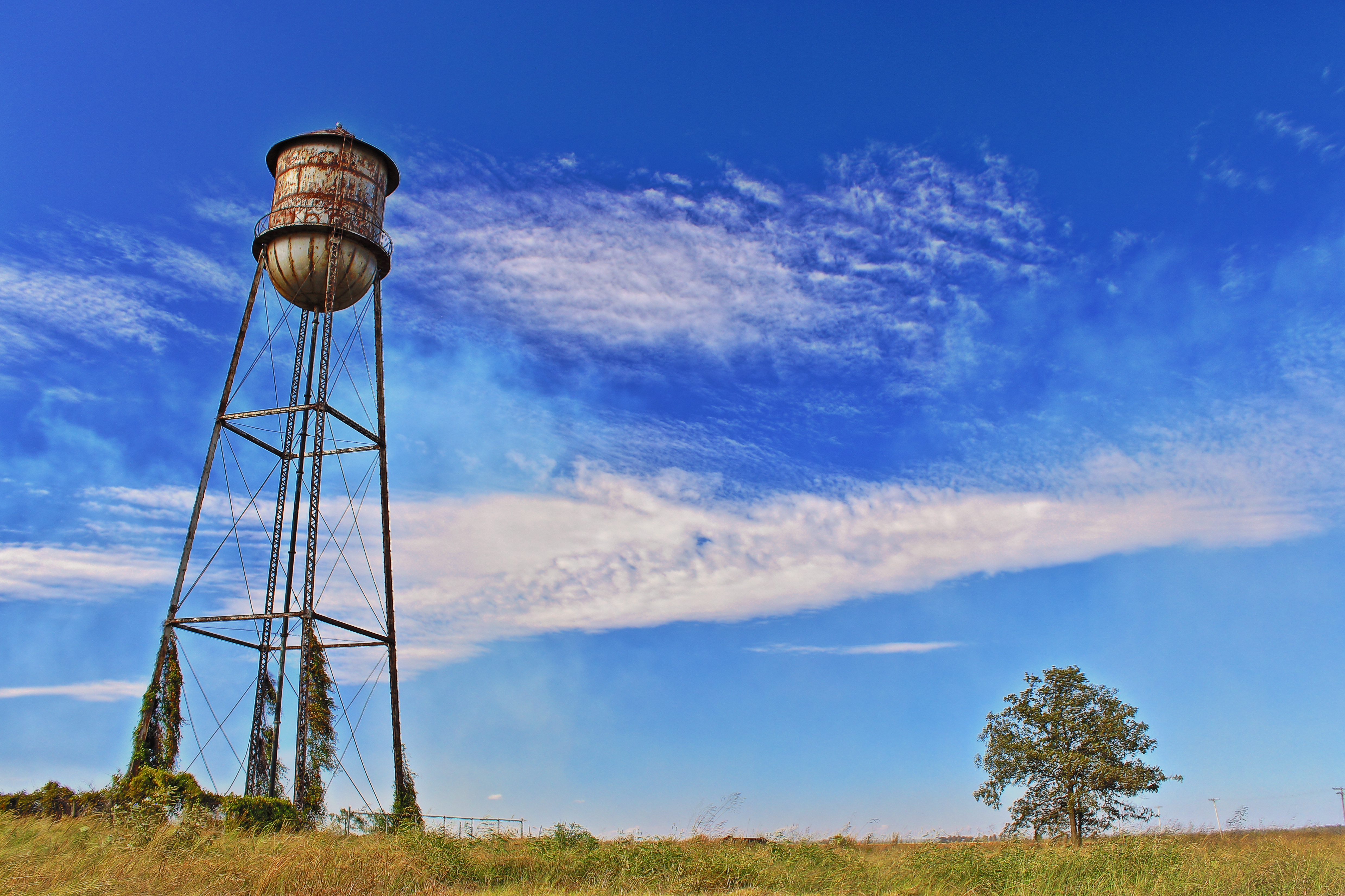
Rusty Water Tower
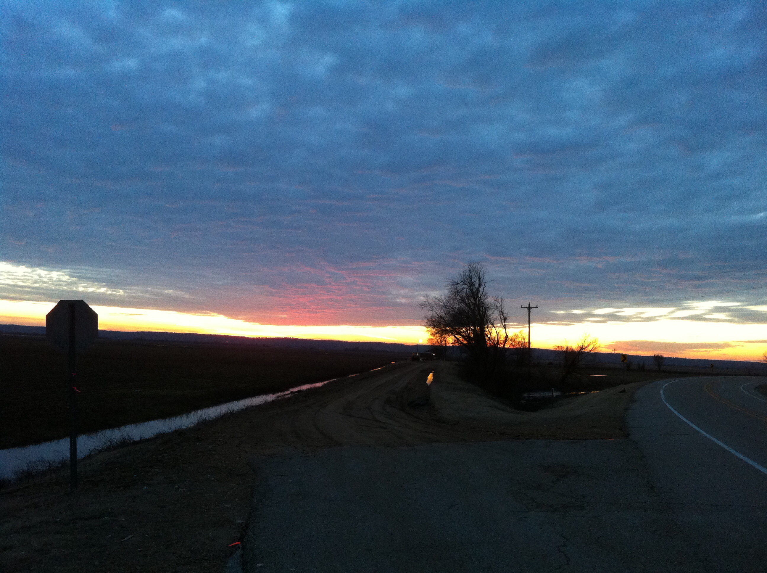
Arkansas Sunset
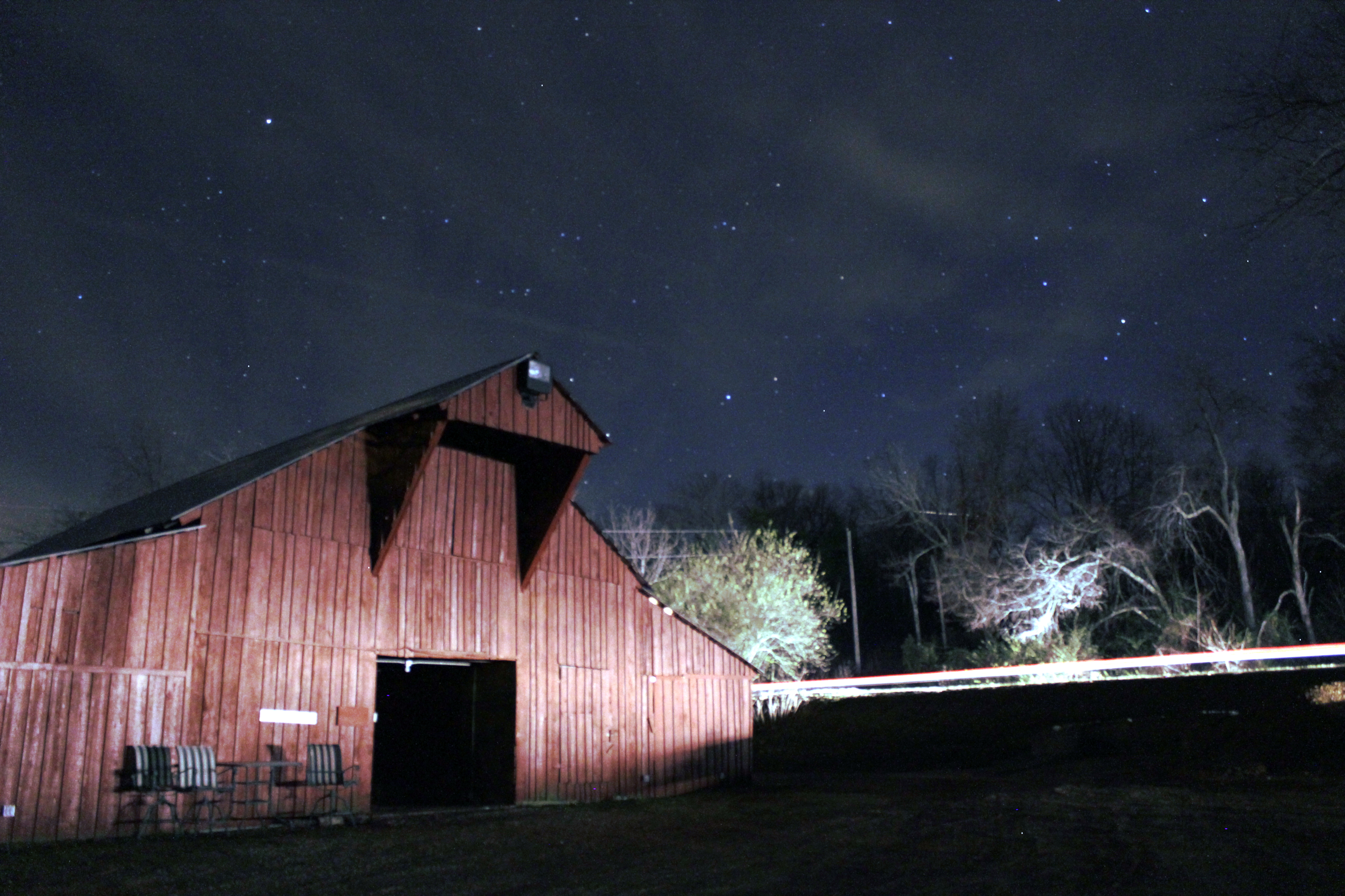
Barn under the Stars
Looking Up
Topographic Map of Hwy 14 E, Harrisburg, AR, USA
Find elevation by address:

Places near Hwy 14 E, Harrisburg, AR, USA:
Harrisburg
Poinsett County
Bolivar Township
Butterfly Rd, Harrisburg, AR, USA
AR-14, Trumann, AR, USA
Scott Township
Greenfield Township
AR-, Cherry Valley, AR, USA
Lunsford Township
AR-69, Trumann, AR, USA
Maple Grove Ln, Trumann, AR, USA
AR-1, Cherry Valley, AR, USA
Co Rd, Jonesboro, AR, USA
State Hwy, Trumann, AR, USA
Willis Township
Coldwater Township
AR-14, Trumann, AR, USA
Co Rd, Jonesboro, AR, USA
Greenfield Township
Gallion Rd, Marked Tree, AR, USA
Recent Searches:
- Elevation of Dog Leg Dr, Minden, NV, USA
- Elevation of Dog Leg Dr, Minden, NV, USA
- Elevation of Kambingan Sa Pansol Atbp., Purok 7 Pansol, Candaba, Pampanga, Philippines
- Elevation of Pinewood Dr, New Bern, NC, USA
- Elevation of Mountain View, CA, USA
- Elevation of Foligno, Province of Perugia, Italy
- Elevation of Blauwestad, Netherlands
- Elevation of Bella Terra Blvd, Estero, FL, USA
- Elevation of Estates Loop, Priest River, ID, USA
- Elevation of Woodland Oak Pl, Thousand Oaks, CA, USA