Elevation of AR-14, Trumann, AR, USA
Location: United States > Arkansas > Poinsett County > Lunsford Township >
Longitude: -90.597233
Latitude: 35.547044
Elevation: 62m / 203feet
Barometric Pressure: 101KPa
Elevation Map:
Satellite Map:
Related Photos:

#smokestack #lightning driver shot

Mixed drink
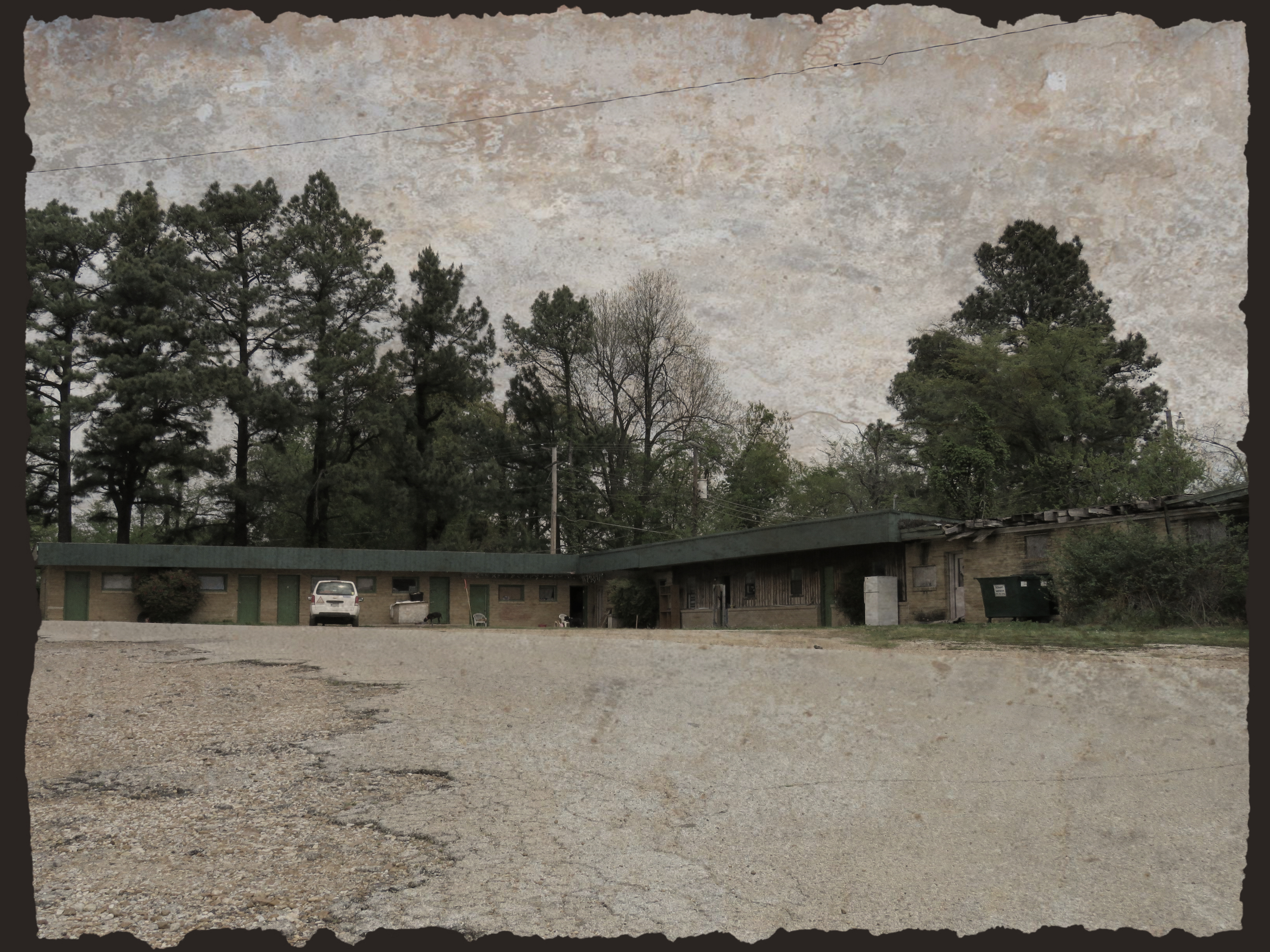
Abandoned motel on Crowley's Ridge

Arkansaw Rexall Drugs
Marked Tree, Arkansas
Along Crowley's Ridge
Soggy: Farmland at Coldwater Arkansas west of Memphis Tennessee 2:14 p.m. 12/1/15

CSX SD40-2 8181
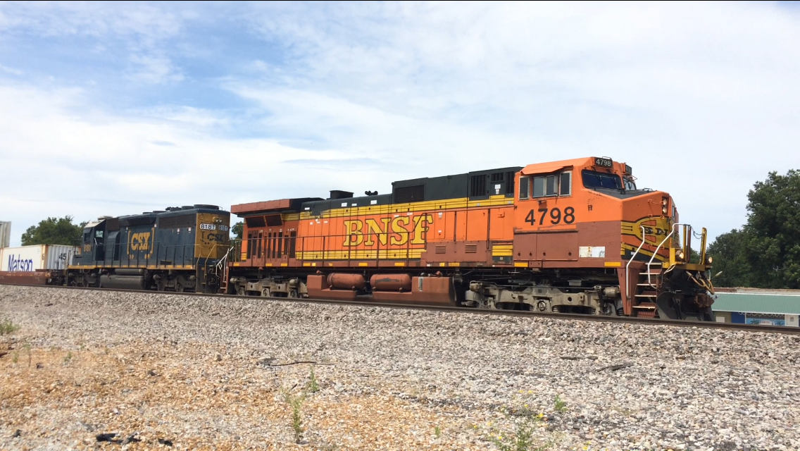
BNSF C44-9W 4798
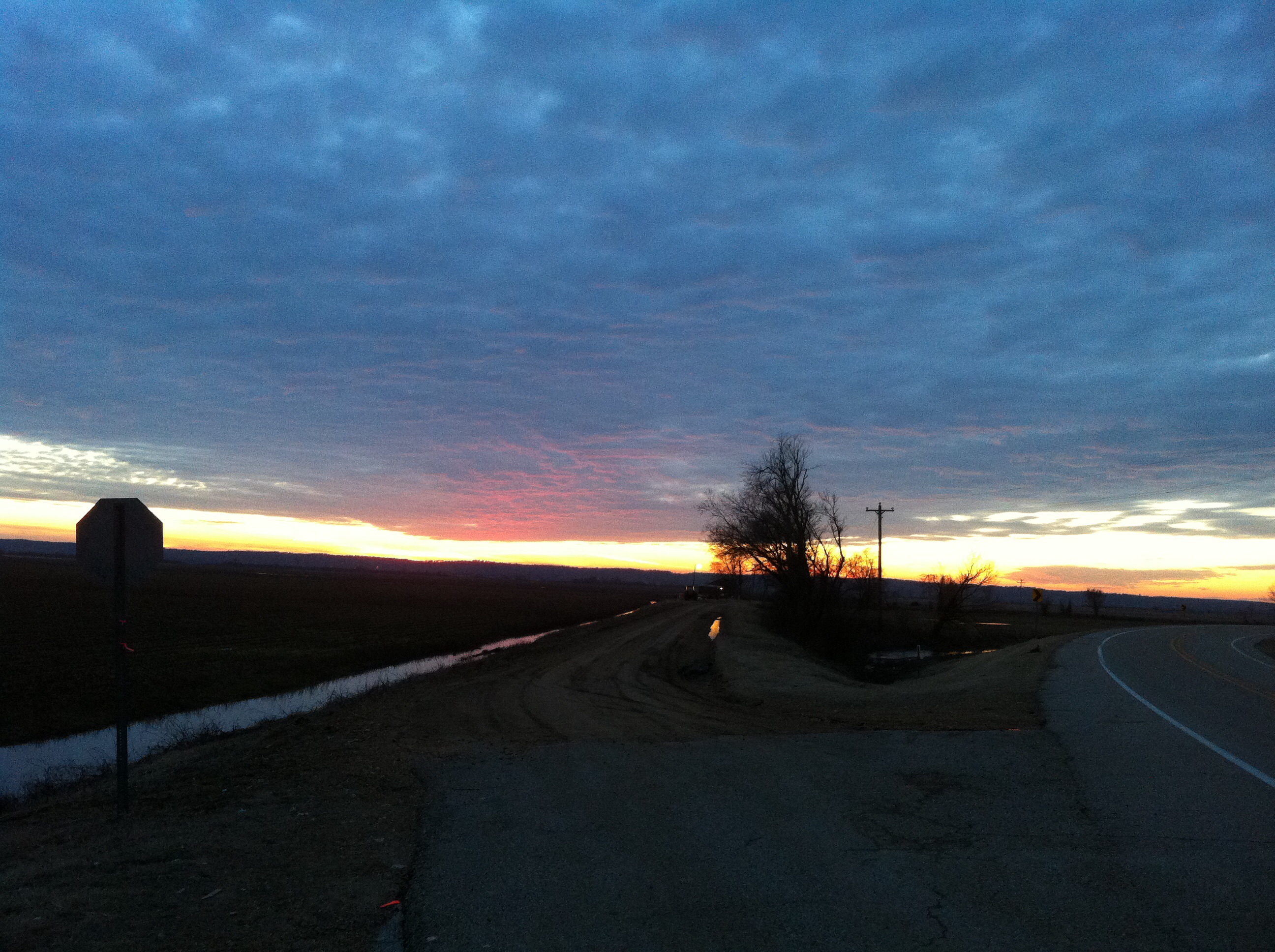
Arkansas Sunset

At the gardens

UP Steam Train PDXMN2-20
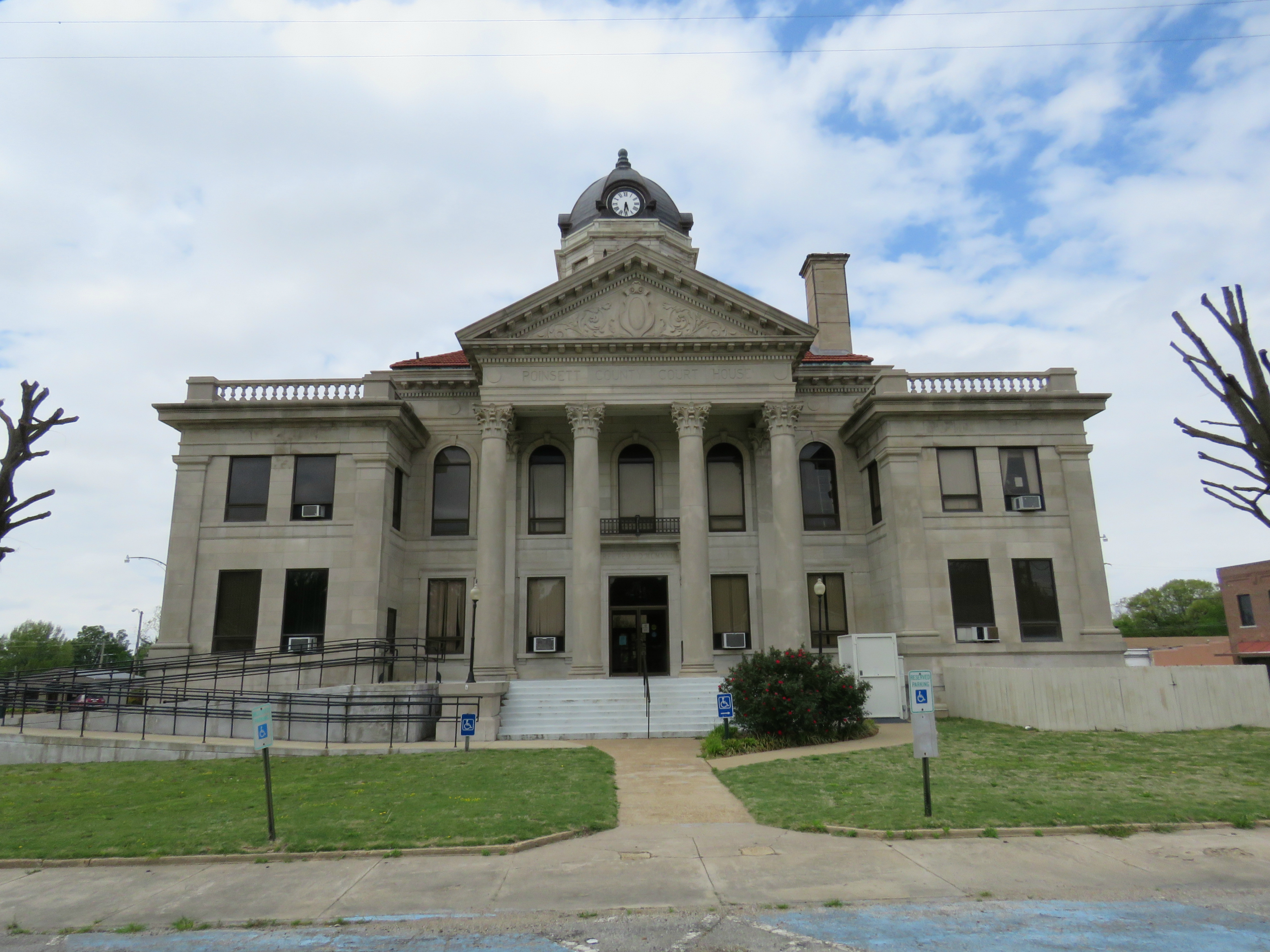
Poinsett County (Arkansas) courthouse
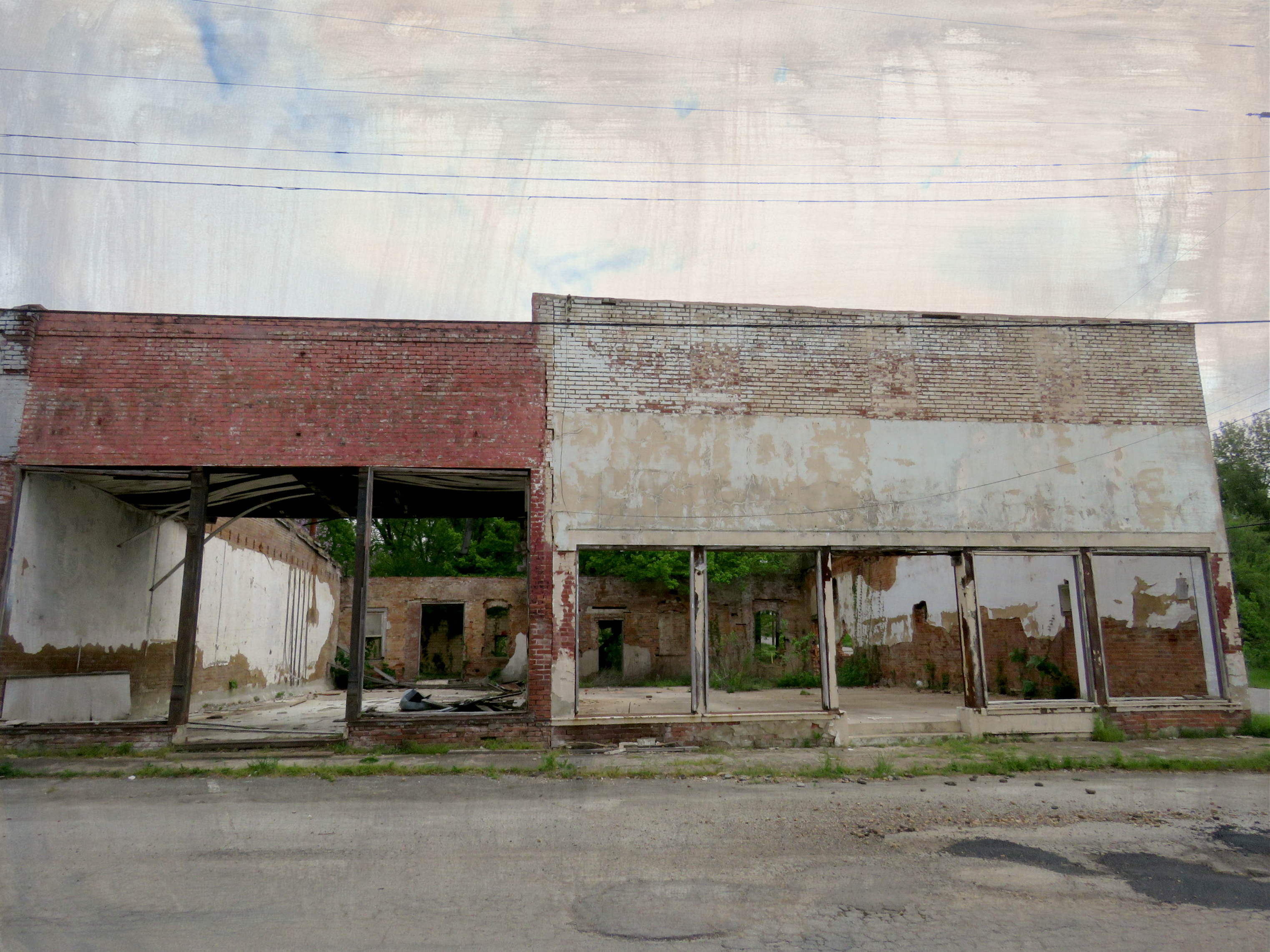
Empty shells echo the past
Forlorn batwing

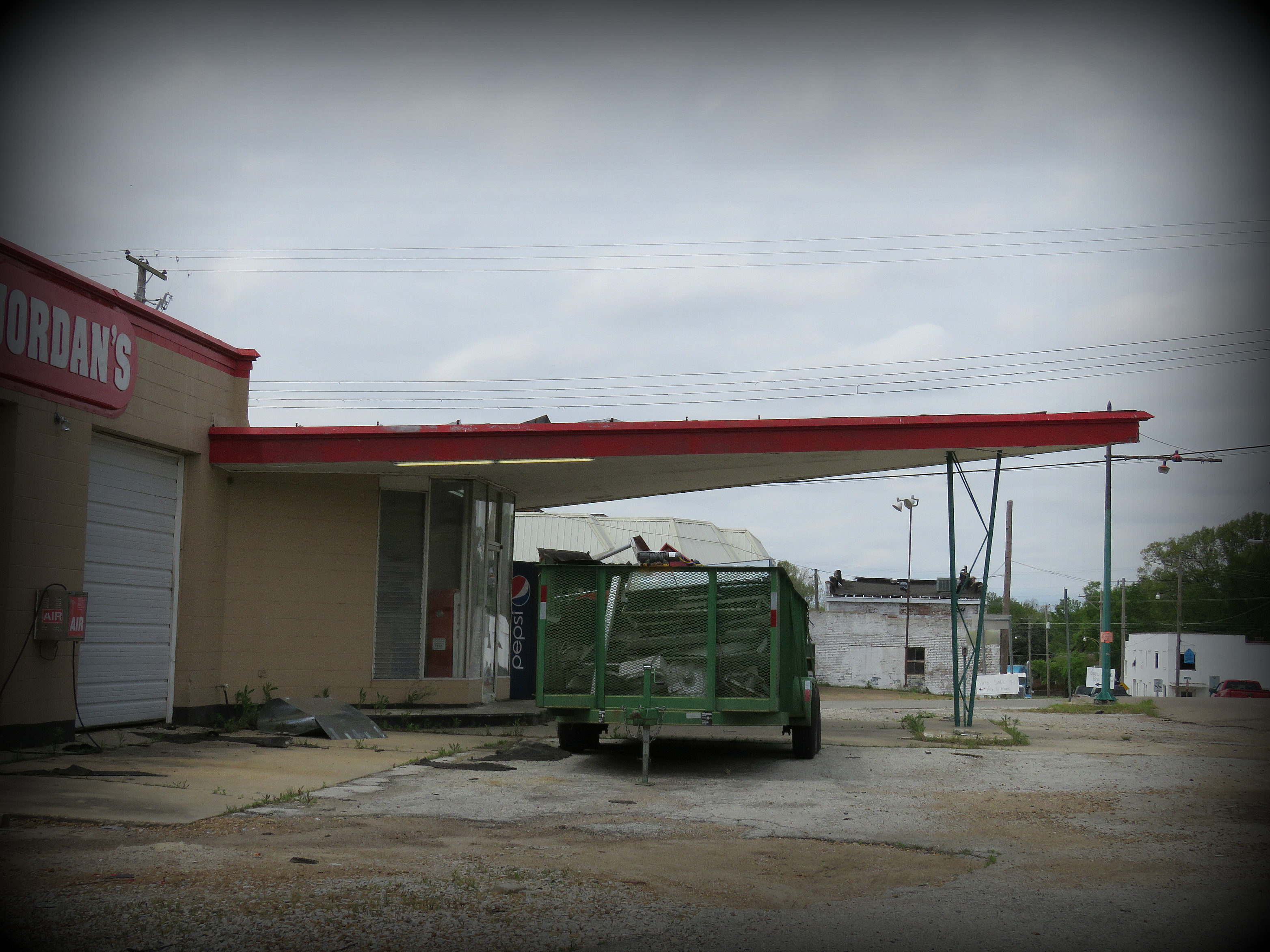
Derelict stone service station

St. Francis River lock

Marked Tree Siphons
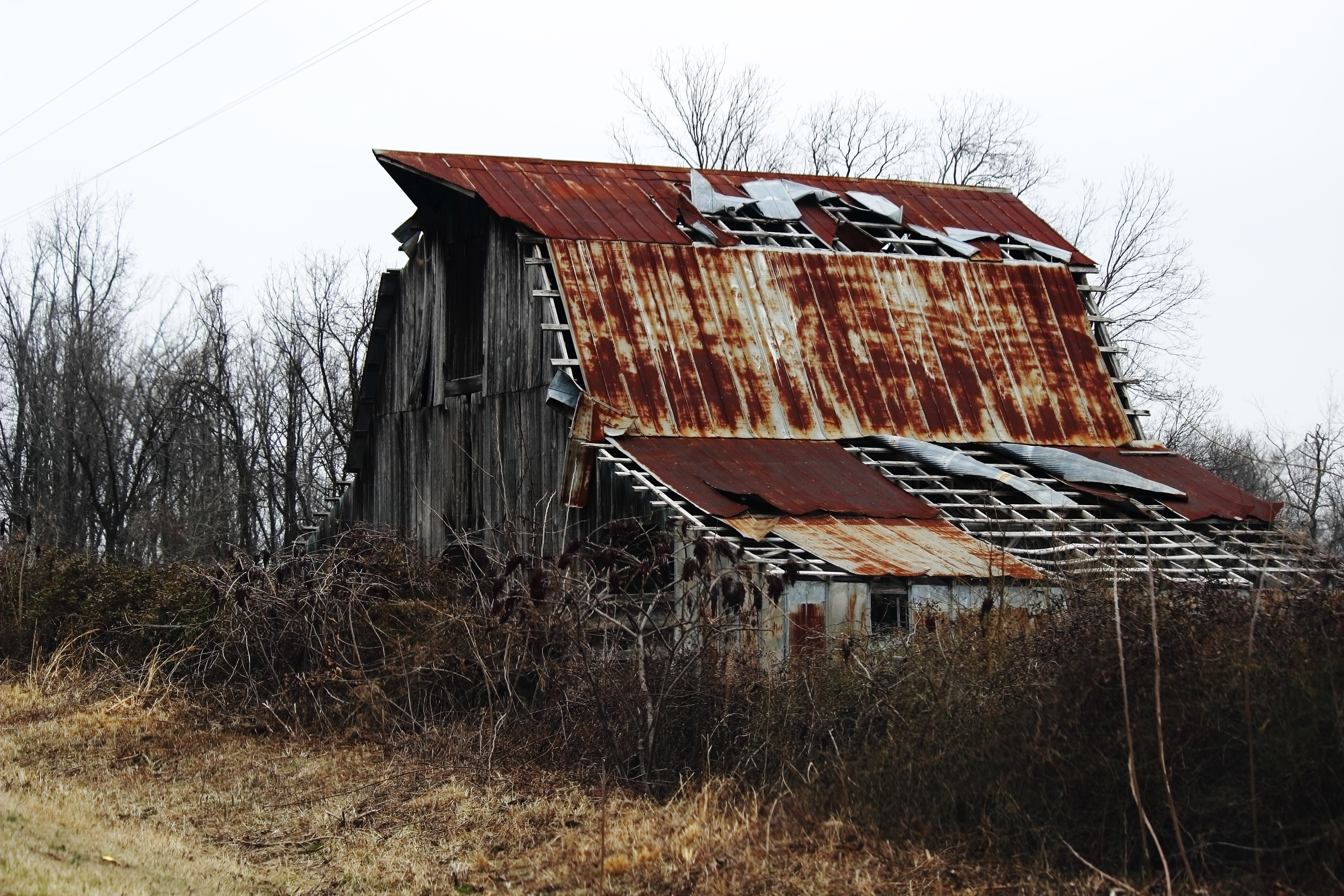
Weathered Barn
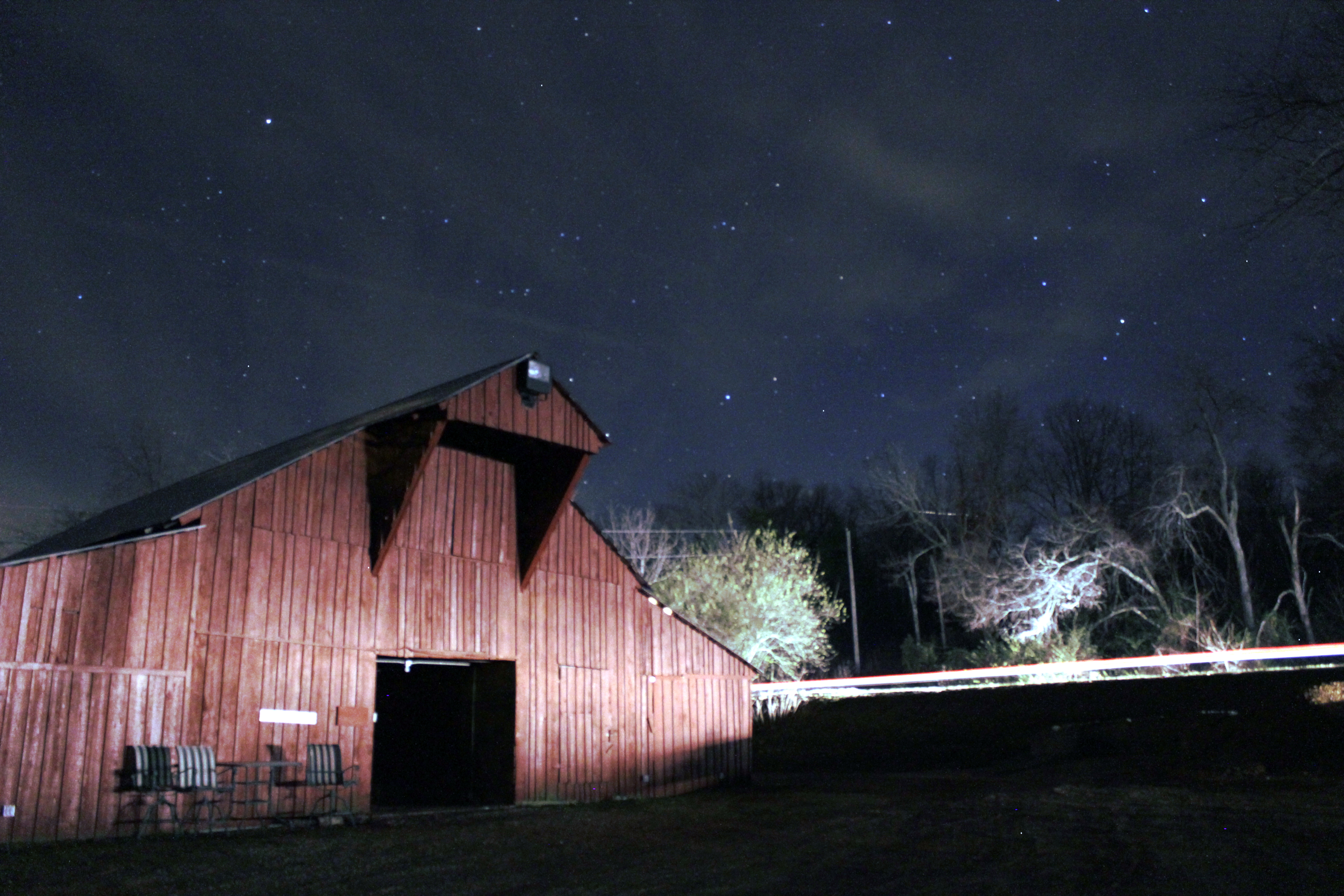
Barn under the Stars
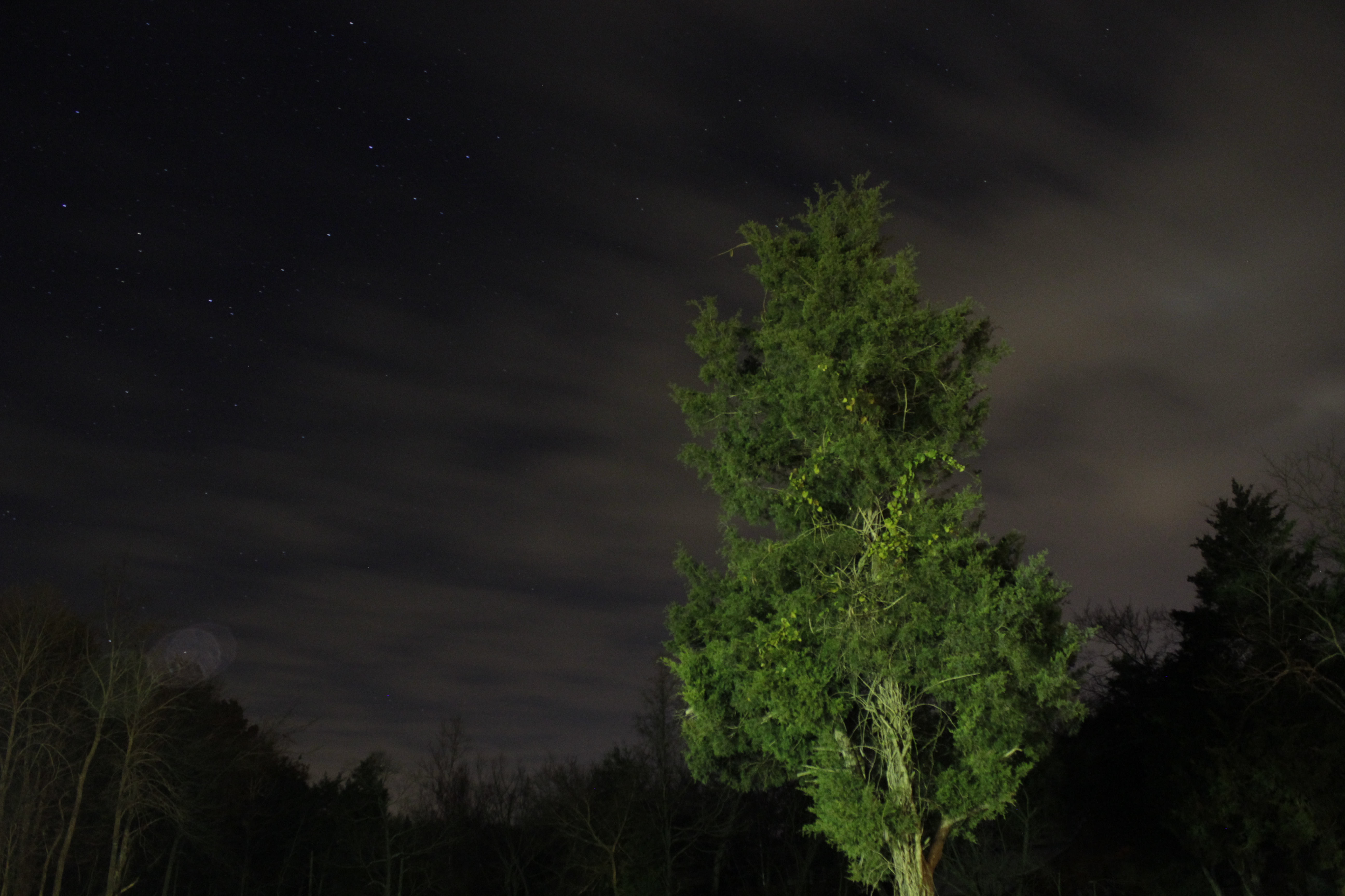
Looking Up
Topographic Map of AR-14, Trumann, AR, USA
Find elevation by address:

Places near AR-14, Trumann, AR, USA:
Lunsford Township
Poinsett County
Hwy 14 E, Harrisburg, AR, USA
AR-14, Trumann, AR, USA
State Hwy, Trumann, AR, USA
Maple Grove Ln, Trumann, AR, USA
Gallion Rd, Marked Tree, AR, USA
Harrisburg
AR-, Cherry Valley, AR, USA
AR-69, Trumann, AR, USA
AR-75, Parkin, AR, USA
Little River Township
Willis Township
Coldwater Township
Tulot Rd, Trumann, AR, USA
Bolivar Township
Butterfly Rd, Harrisburg, AR, USA
Scott Township
Renshaw Ln, Trumann, AR, USA
Trumann
Recent Searches:
- Elevation of Kambingan Sa Pansol Atbp., Purok 7 Pansol, Candaba, Pampanga, Philippines
- Elevation of Pinewood Dr, New Bern, NC, USA
- Elevation of Mountain View, CA, USA
- Elevation of Foligno, Province of Perugia, Italy
- Elevation of Blauwestad, Netherlands
- Elevation of Bella Terra Blvd, Estero, FL, USA
- Elevation of Estates Loop, Priest River, ID, USA
- Elevation of Woodland Oak Pl, Thousand Oaks, CA, USA
- Elevation of Brownsdale Rd, Renfrew, PA, USA
- Elevation of Corcoran Ln, Suffolk, VA, USA