Elevation of Maple Grove Ln, Trumann, AR, USA
Location: United States > Arkansas > Poinsett County > Willis Township > Trumann >
Longitude: -90.554466
Latitude: 35.64244
Elevation: 67m / 220feet
Barometric Pressure: 101KPa
Elevation Map:
Satellite Map:
Related Photos:

IMG_0762
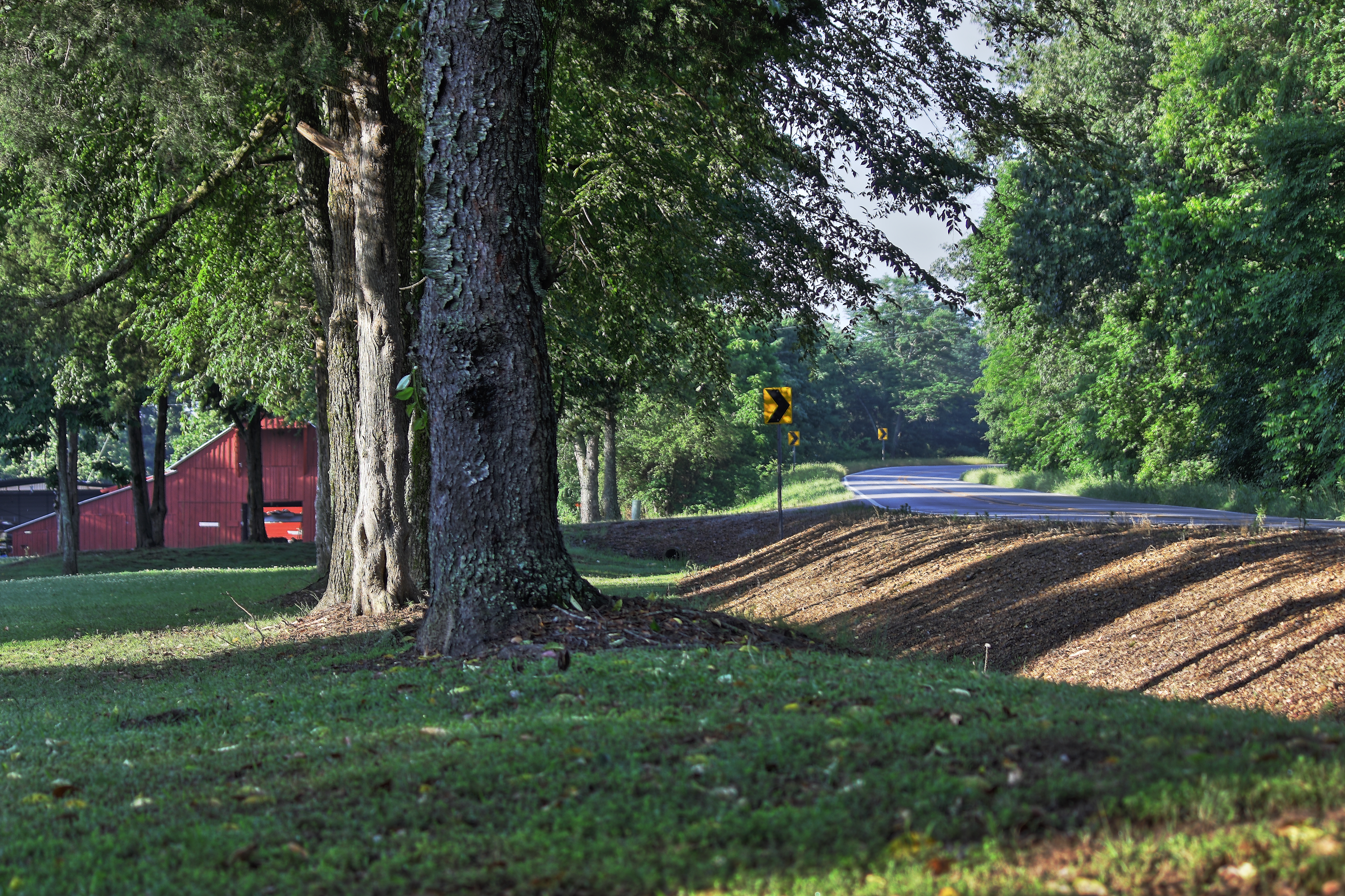
Along Crowley's Ridge

St. Francis River lock

Marked Tree Siphons

Arkansas Sunset

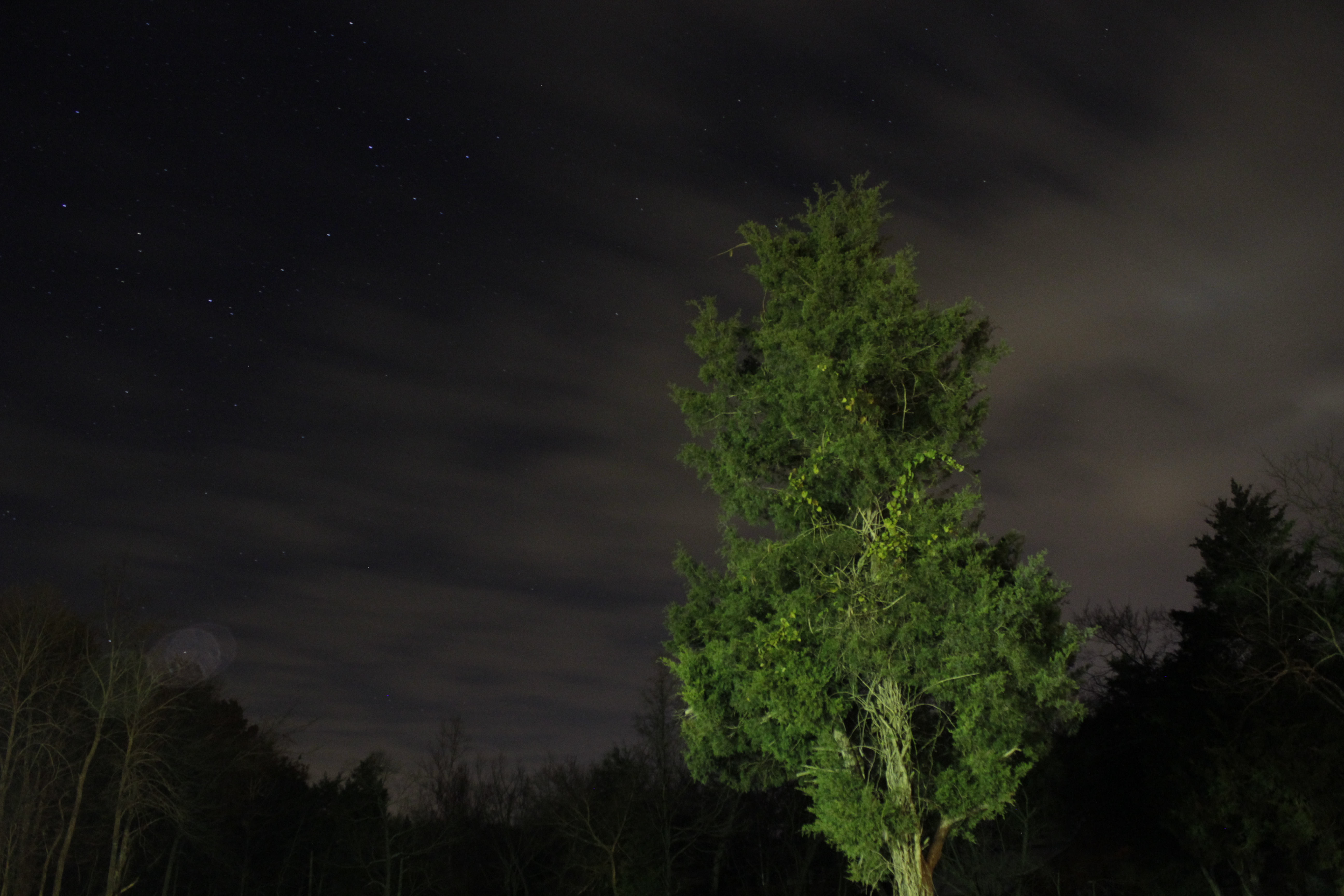
Barn under the Stars
Looking Up

My first taste of the pumpkin...

At the gardens
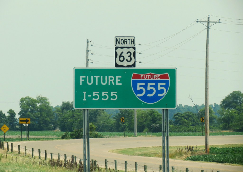
Future Interstate
Topographic Map of Maple Grove Ln, Trumann, AR, USA
Find elevation by address:

Places near Maple Grove Ln, Trumann, AR, USA:
Willis Township
State Hwy, Trumann, AR, USA
Trumann
Lunsford Township
AR-69, Trumann, AR, USA
Renshaw Ln, Trumann, AR, USA
Tulot Rd, Trumann, AR, USA
Poinsett County
Bay
AR-69, Lake City, AR, USA
AR-14, Trumann, AR, USA
AR-14, Trumann, AR, USA
Maumelle Township
Taylor Township
Hwy 14 E, Harrisburg, AR, USA
Craighead Rd, Lake City, AR, USA
Needam Rd, Bay, AR, USA
Greenfield Township
Co Rd, Jonesboro, AR, USA
Greenfield Township
Recent Searches:
- Elevation of Kambingan Sa Pansol Atbp., Purok 7 Pansol, Candaba, Pampanga, Philippines
- Elevation of Pinewood Dr, New Bern, NC, USA
- Elevation of Mountain View, CA, USA
- Elevation of Foligno, Province of Perugia, Italy
- Elevation of Blauwestad, Netherlands
- Elevation of Bella Terra Blvd, Estero, FL, USA
- Elevation of Estates Loop, Priest River, ID, USA
- Elevation of Woodland Oak Pl, Thousand Oaks, CA, USA
- Elevation of Brownsdale Rd, Renfrew, PA, USA
- Elevation of Corcoran Ln, Suffolk, VA, USA