Elevation of AR-69, Lake City, AR, USA
Location: United States > Arkansas > Craighead County >
Longitude: -90.484485
Latitude: 35.717797
Elevation: 66m / 217feet
Barometric Pressure: 101KPa
Elevation Map:
Satellite Map:
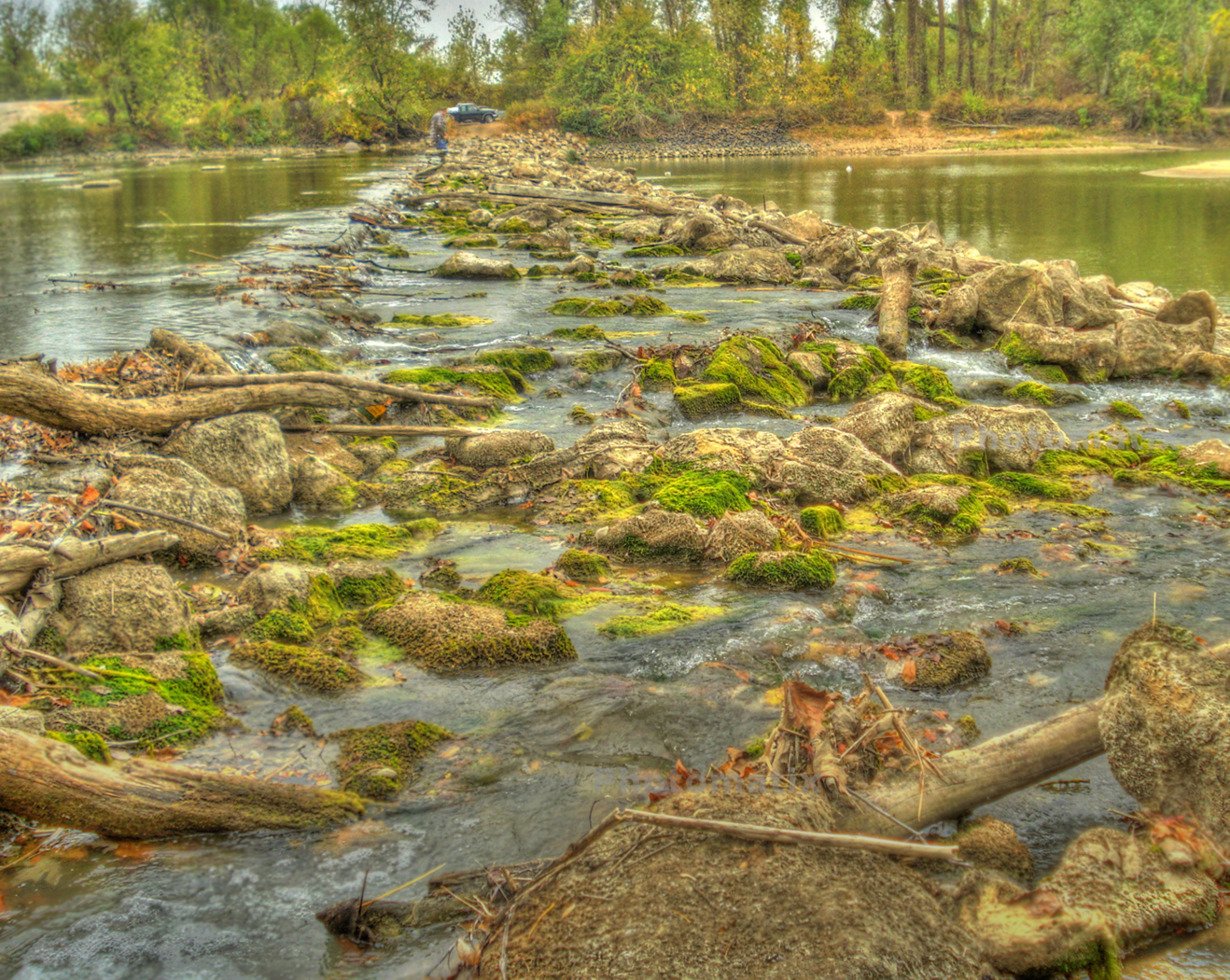
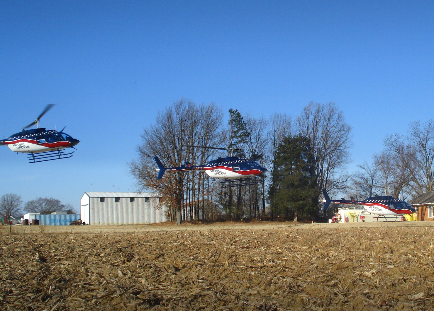
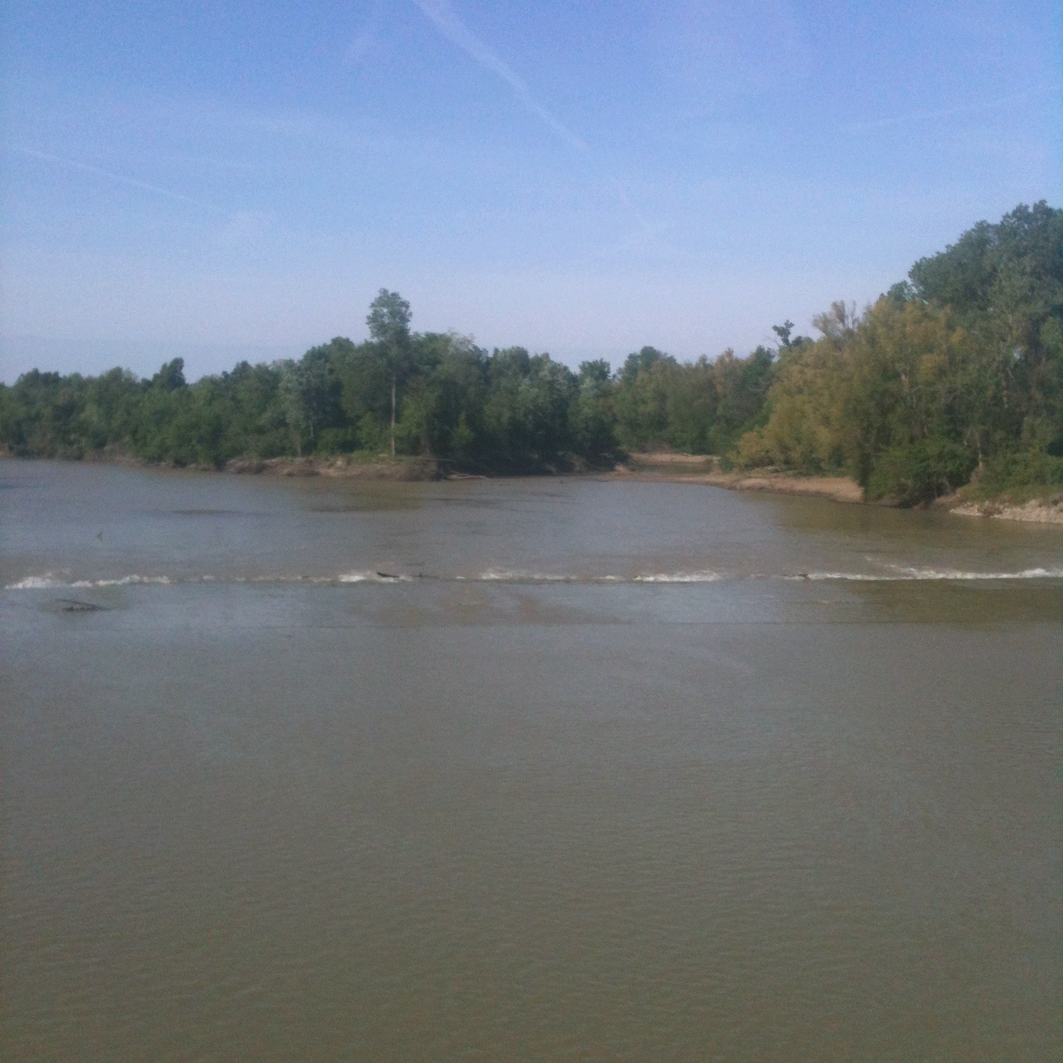
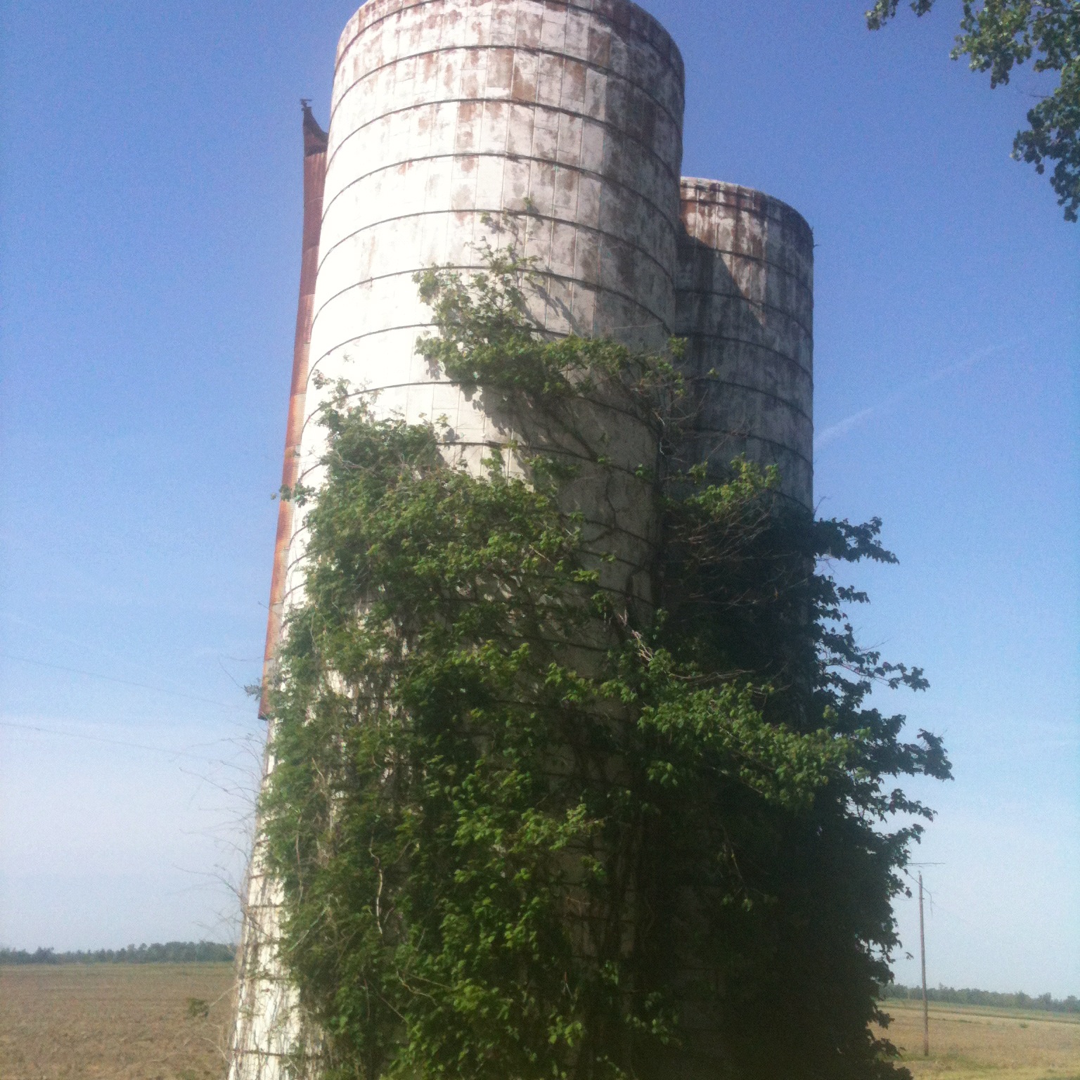
Related Photos:
Fishing At Rivervale
Back At Base
Day 39-42 007

St. Francis River lock

Marked Tree Siphons

Night Deposit All That's Left
Day 39-42 008

Day 39-42 011

Day 39-42 012

Day 39-42 013
Day 39-42 009

Carroll-a

At the gardens
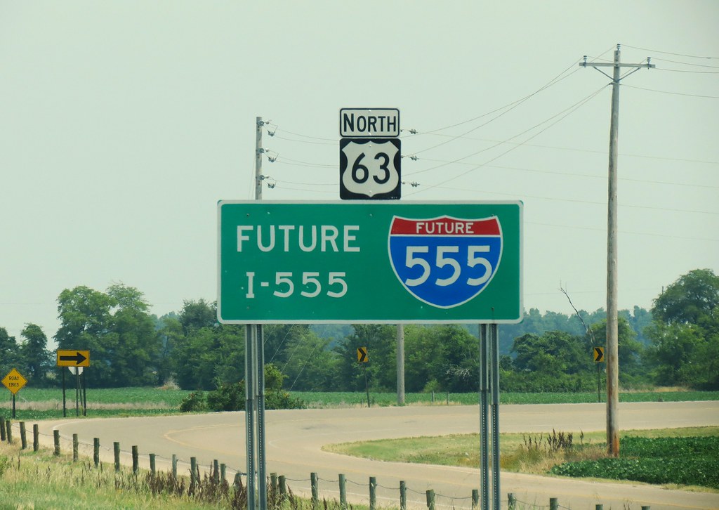
Future Interstate
Topographic Map of AR-69, Lake City, AR, USA
Find elevation by address:

Places near AR-69, Lake City, AR, USA:
Taylor Township
Craighead Rd, Lake City, AR, USA
Prairie Township
Co Rd, Lake City, AR, USA
Maumelle Township
Bay
Needam Rd, Bay, AR, USA
Lake City Township
Carter St, Lake City, AR, USA
Lake City
AR-18, Brookland, AR, USA
Nettleton Township
65 CR /91 CRK, Black Oak, AR, USA
100 N Main
Black Oak
Greenfield Township
3609 Ingels Rd
4103 Race St
3112 Colony Dr
Clark St, Jonesboro, AR, USA
Recent Searches:
- Elevation of SW 57th Ave, Portland, OR, USA
- Elevation of Crocker Dr, Vacaville, CA, USA
- Elevation of Pu Ngaol Community Meeting Hall, HWHM+3X7, Krong Saen Monourom, Cambodia
- Elevation of Royal Ontario Museum, Queens Park, Toronto, ON M5S 2C6, Canada
- Elevation of Groblershoop, South Africa
- Elevation of Power Generation Enterprises | Industrial Diesel Generators, Oak Ave, Canyon Country, CA, USA
- Elevation of Chesaw Rd, Oroville, WA, USA
- Elevation of N, Mt Pleasant, UT, USA
- Elevation of 6 Rue Jules Ferry, Beausoleil, France
- Elevation of Sattva Horizon, 4JC6+G9P, Vinayak Nagar, Kattigenahalli, Bengaluru, Karnataka, India