Elevation of Van Buren St, Weiner, AR, USA
Location: United States > Arkansas > Poinsett County > West Prairie Township > Weiner >
Longitude: -90.898496
Latitude: 35.6199617
Elevation: 75m / 246feet
Barometric Pressure: 100KPa
Elevation Map:
Satellite Map:
Related Photos:
Z11_3733 - Version 2

#urbanexploration #rurex #roadtrip

The Farm

Waldenburg Lutheran Church

Z12_2794 - Version 3

Z12_2794 - Version 2
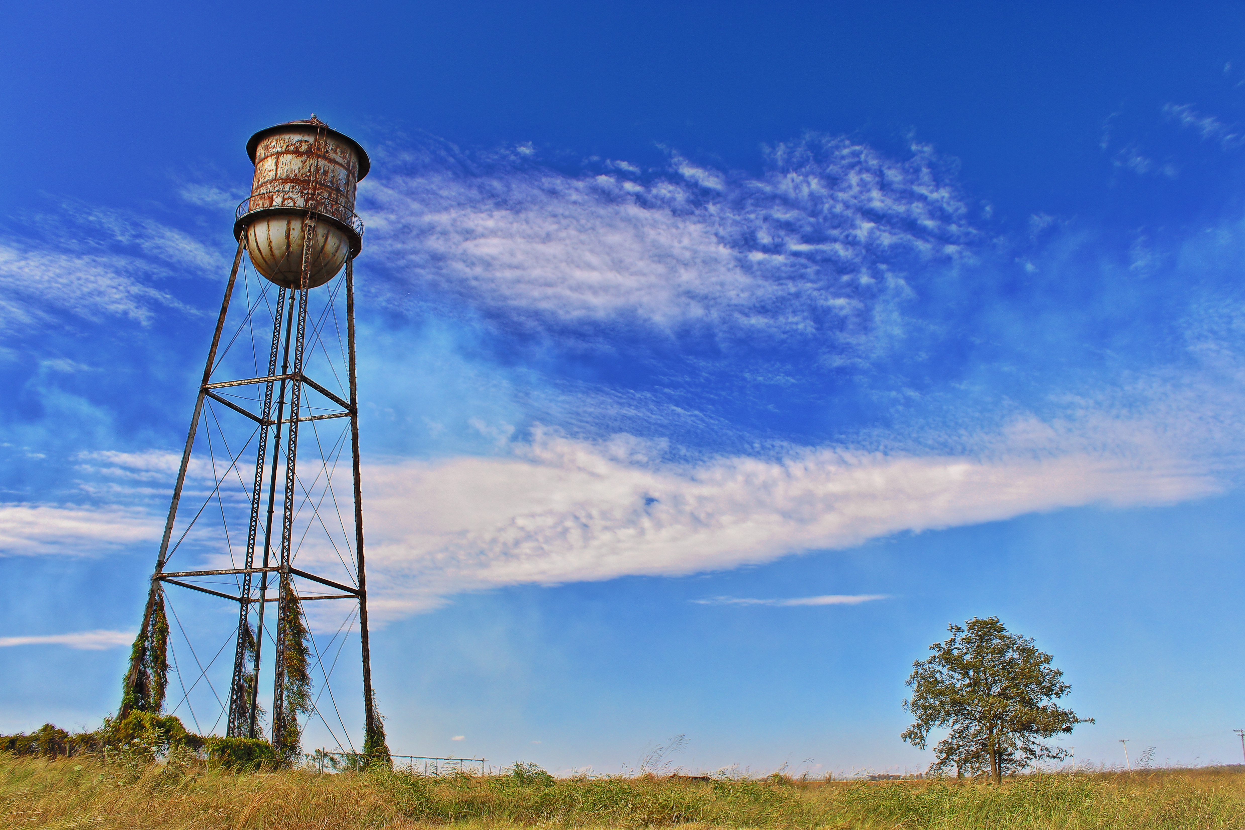
Rusty Water Tower
Topographic Map of Van Buren St, Weiner, AR, USA
Find elevation by address:

Places near Van Buren St, Weiner, AR, USA:
Weiner
West Prairie Township
Owen Township
Dobson Township
US 49, Jonesboro, AR, USA
State Hwy, Weiner, AR, USA
AR-, Fisher, AR, USA
Fisher
Little Texas Township
AR-18, Cash, AR, USA
Gilkerson Township
Gaukson, Weiner, AR, USA
Bolivar Township
Grubbs
Cash
445 W Linda St
Grubbs
Butterfly Rd, Harrisburg, AR, USA
AR-, Newport, AR, USA
Harrisburg
Recent Searches:
- Elevation of Crystal Cir, Birmingham, AL, USA
- Elevation of N Railroad Ave, West Palm Beach, FL, USA
- Elevation of 55 Cassick Valley Rd, Wellfleet, MA, USA
- Elevation of Ironwood Dr, Minden, NV, USA
- Elevation of 高尾山口駅, Takaomachi, Hachioji, Tokyo -, Japan
- Elevation of 15 Victory Ave, Greenville, SC, USA
- Elevation of Kota Ternate Utara, Ternate City, North Maluku, Indonesia
- Elevation of Allon St, Oceanside, NY, USA
- Elevation of Carroll Creek Rd, Custer, SD, USA
- Elevation of Lust Road, Lust Rd, Florida, USA