Elevation of US 49, Jonesboro, AR, USA
Location: United States > Arkansas > Craighead County > Gilkerson Township >
Longitude: -90.836174
Latitude: 35.7271066
Elevation: 76m / 249feet
Barometric Pressure: 100KPa
Elevation Map:
Satellite Map:
Related Photos:

#Ozark National #Forest, view from #Hwy23. #cameraplus

Part of Bryan's collection; view from...
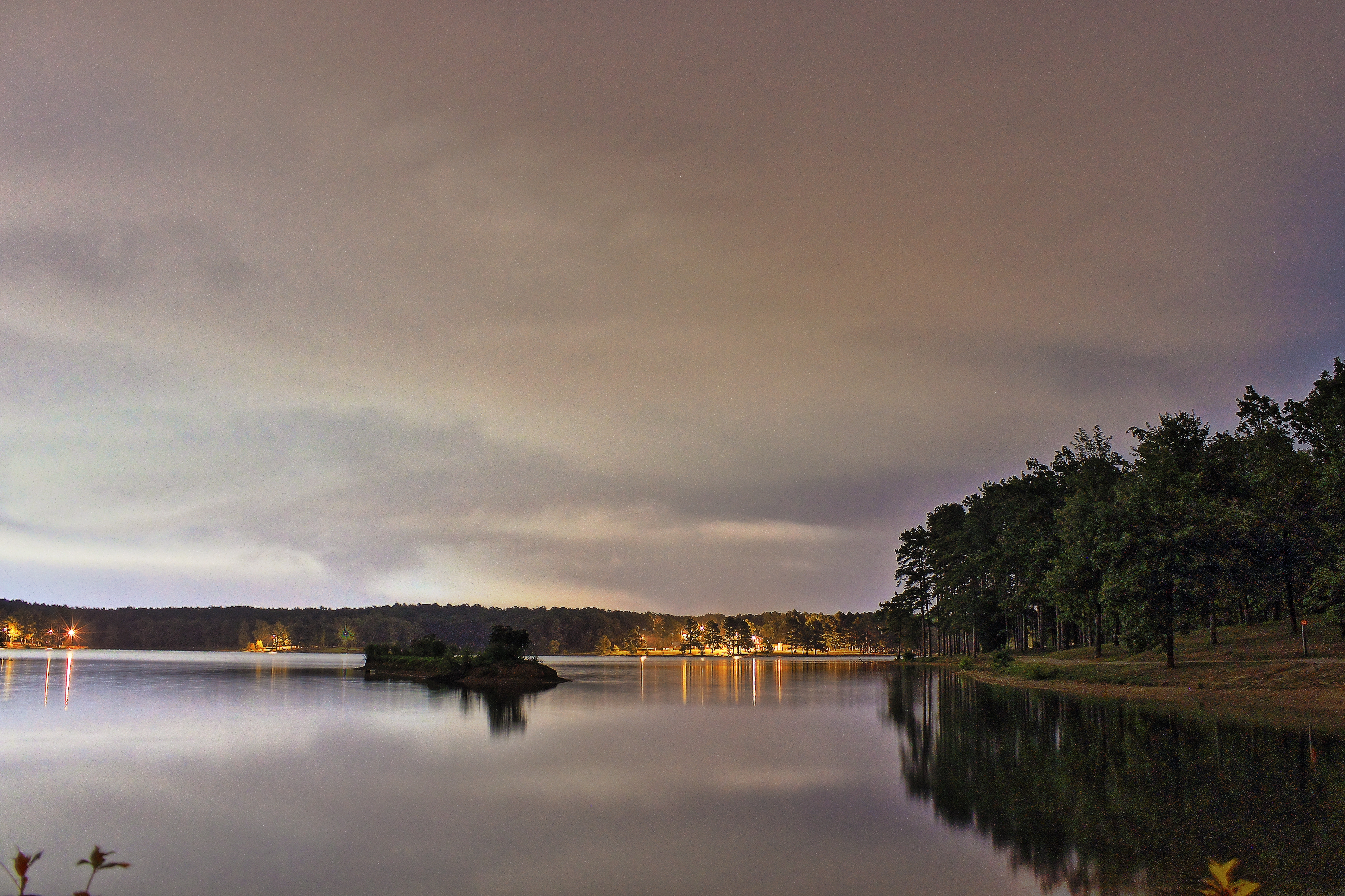
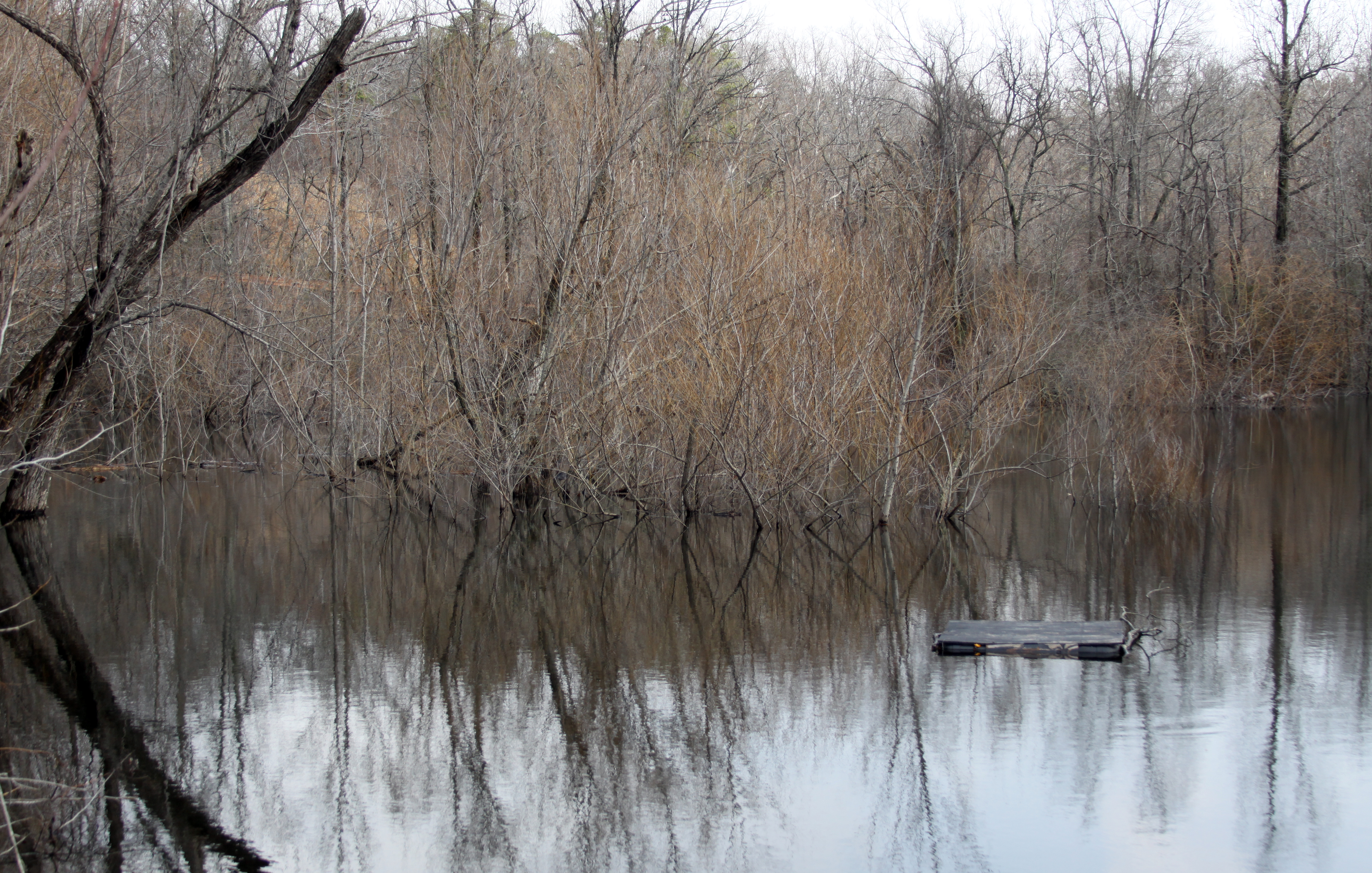
Craighead Forest Lake at night

Sun peaking through the trees
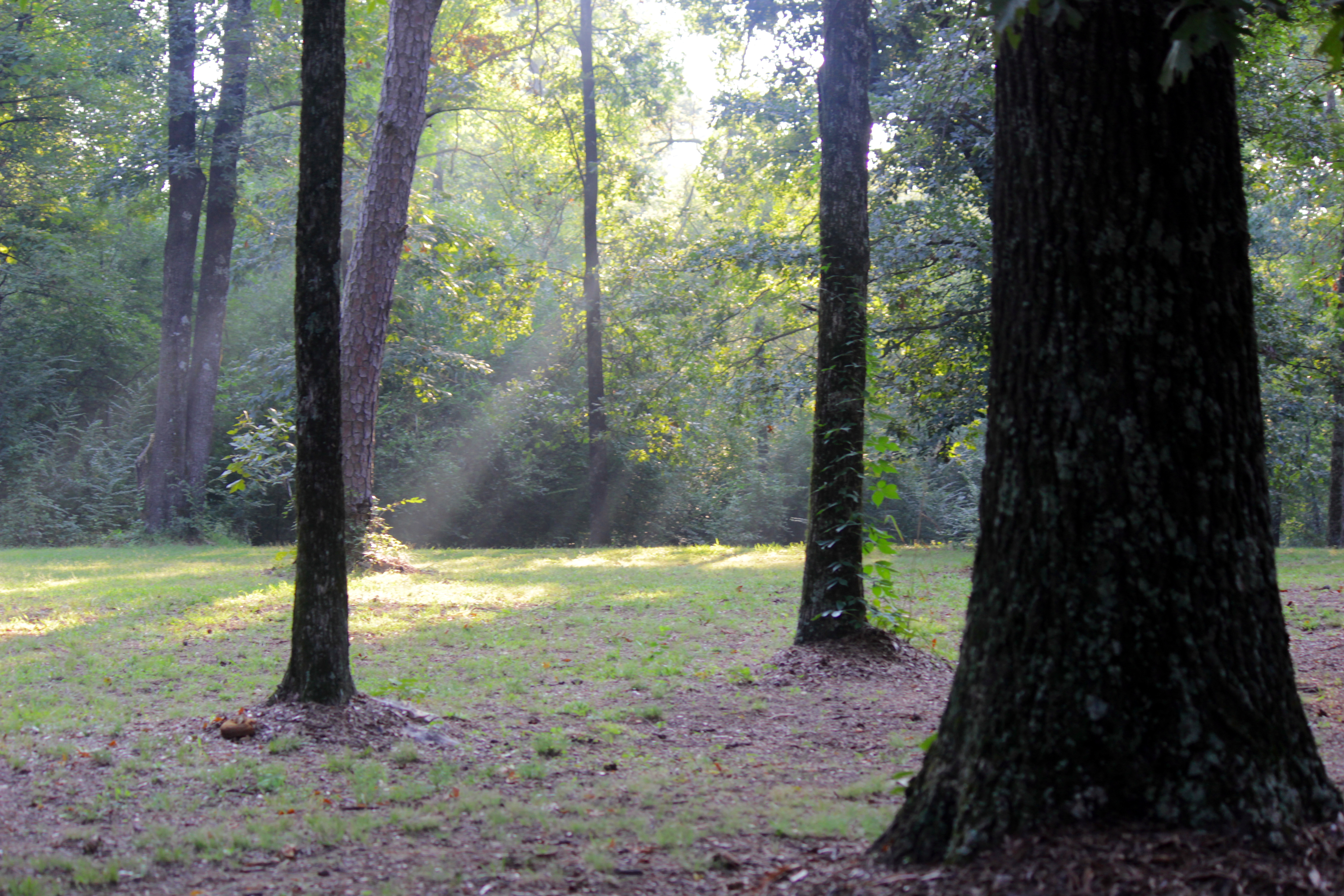
The Sun breaks through the trees
Into Crowley's Ridge

snow 6

Garvan Woodland Gardens, July 2008
Z11_3733 - Version 2

snow 5
Gone Fishin'

Craighead Forest Park
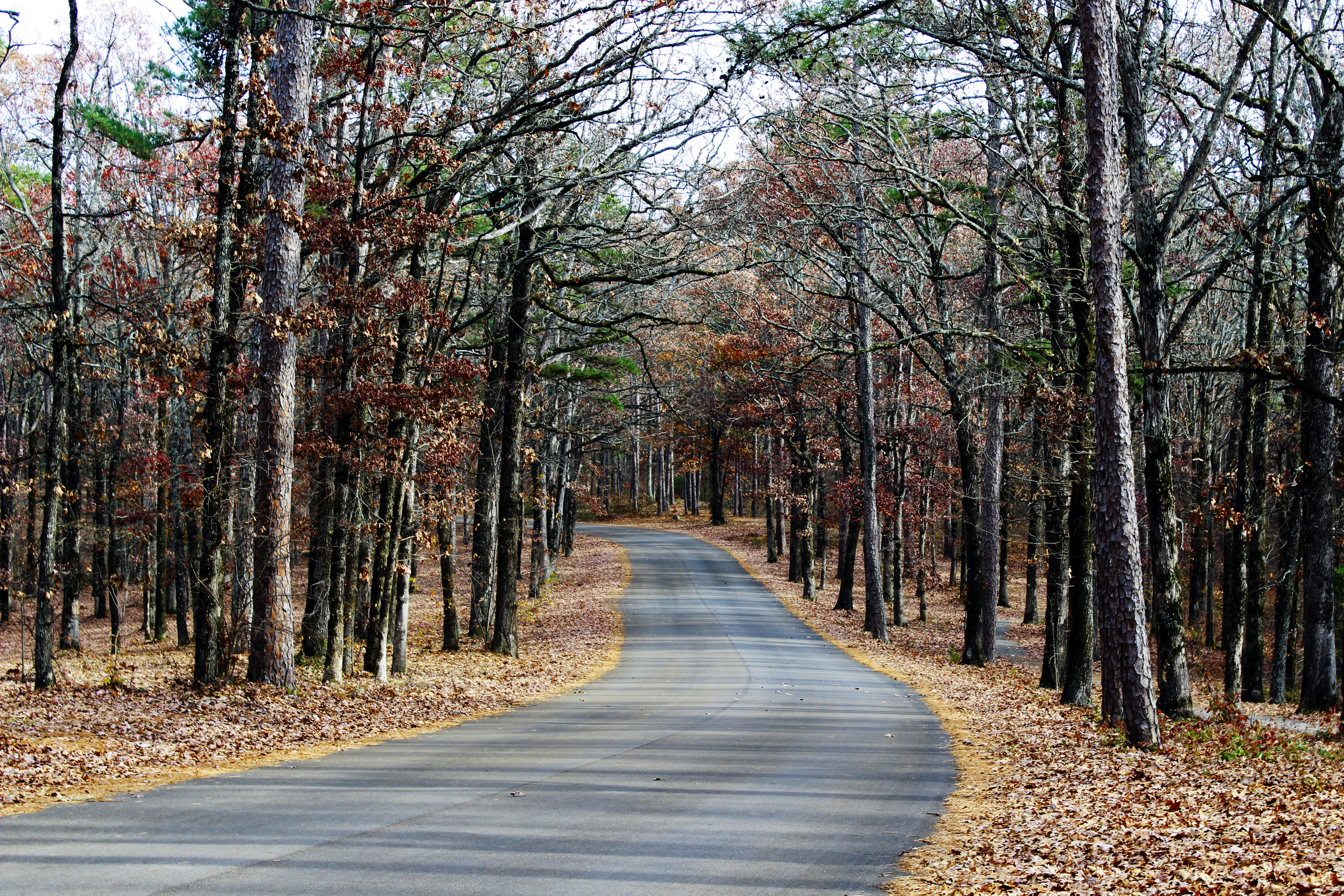
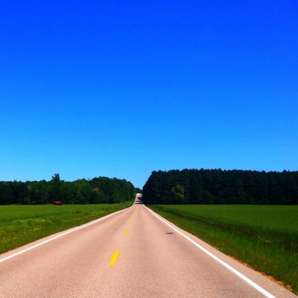
Country Road
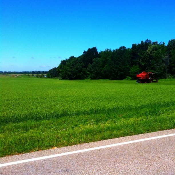
Abandoned combine near Crowley's Ridge
Topographic Map of US 49, Jonesboro, AR, USA
Find elevation by address:

Places near US 49, Jonesboro, AR, USA:
Gilkerson Township
AR-, Jonesboro, AR, USA
6070 Beaver Dam Ln
Jonesboro, AR, USA
US 49, Jonesboro, AR, USA
Valley View Junior High School
Texas Township
Cash
Casey Springs Road
2601 Neely Rd
4905 Outback Rd Dr
AR-18, Cash, AR, USA
County Road 133
Little Texas Township
1938 Paula Dr
AR-18, Cash, AR, USA
1207 Chimney Chase Dr
207 Harry Dr
Jonesboro Township
Jonesboro Township
Recent Searches:
- Elevation of Corso Fratelli Cairoli, 35, Macerata MC, Italy
- Elevation of Tallevast Rd, Sarasota, FL, USA
- Elevation of 4th St E, Sonoma, CA, USA
- Elevation of Black Hollow Rd, Pennsdale, PA, USA
- Elevation of Oakland Ave, Williamsport, PA, USA
- Elevation of Pedrógão Grande, Portugal
- Elevation of Klee Dr, Martinsburg, WV, USA
- Elevation of Via Roma, Pieranica CR, Italy
- Elevation of Tavkvetili Mountain, Georgia
- Elevation of Hartfords Bluff Cir, Mt Pleasant, SC, USA