Elevation of Texas Township, AR, USA
Location: United States > Arkansas > Craighead County >
Longitude: -90.915205
Latitude: 35.813619
Elevation: 75m / 246feet
Barometric Pressure: 100KPa
Elevation Map:
Satellite Map:
Related Photos:

Part of Bryan's collection; view from...

#Ozark National #Forest, view from #Hwy23. #cameraplus

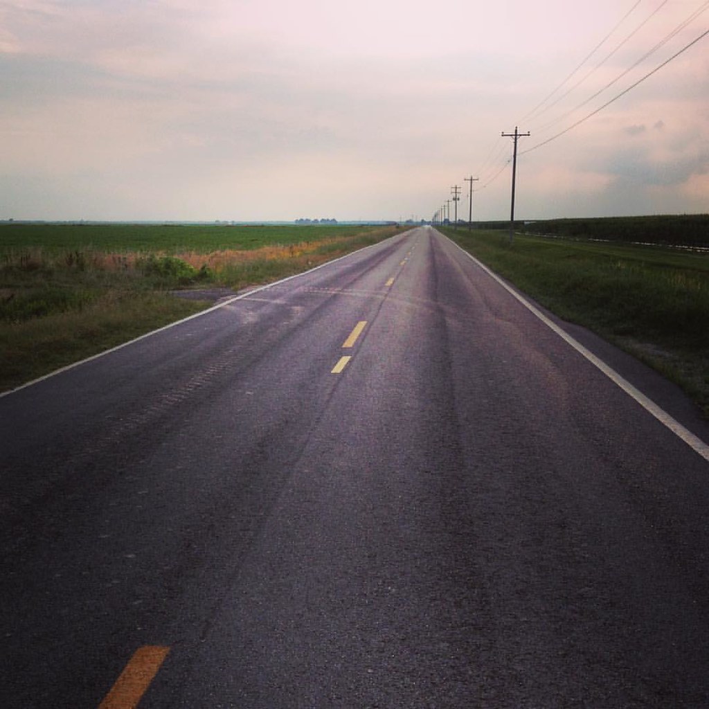
Into Crowley's Ridge

Garvan Woodland Gardens, July 2008
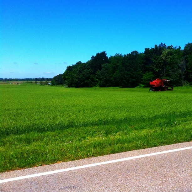
Abandoned combine near Crowley's Ridge

Safety pin!
It is this - a journey. Love is the road.

I promise Jodi & I didn't dress our kids alike on purpose!

Yeah, y'all Christmas in October people? #challengeaccepted
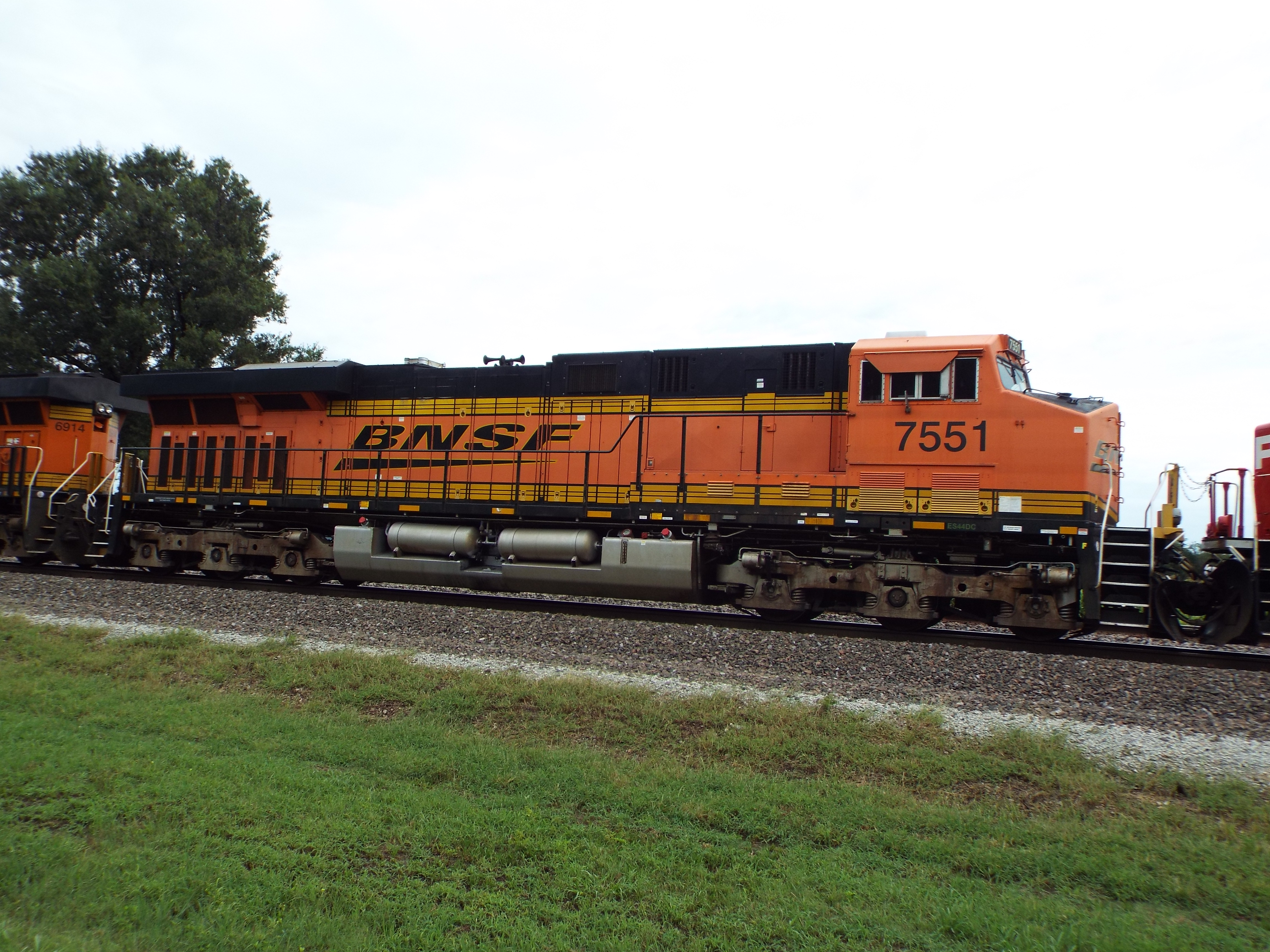
BNSD ES44DC 7551
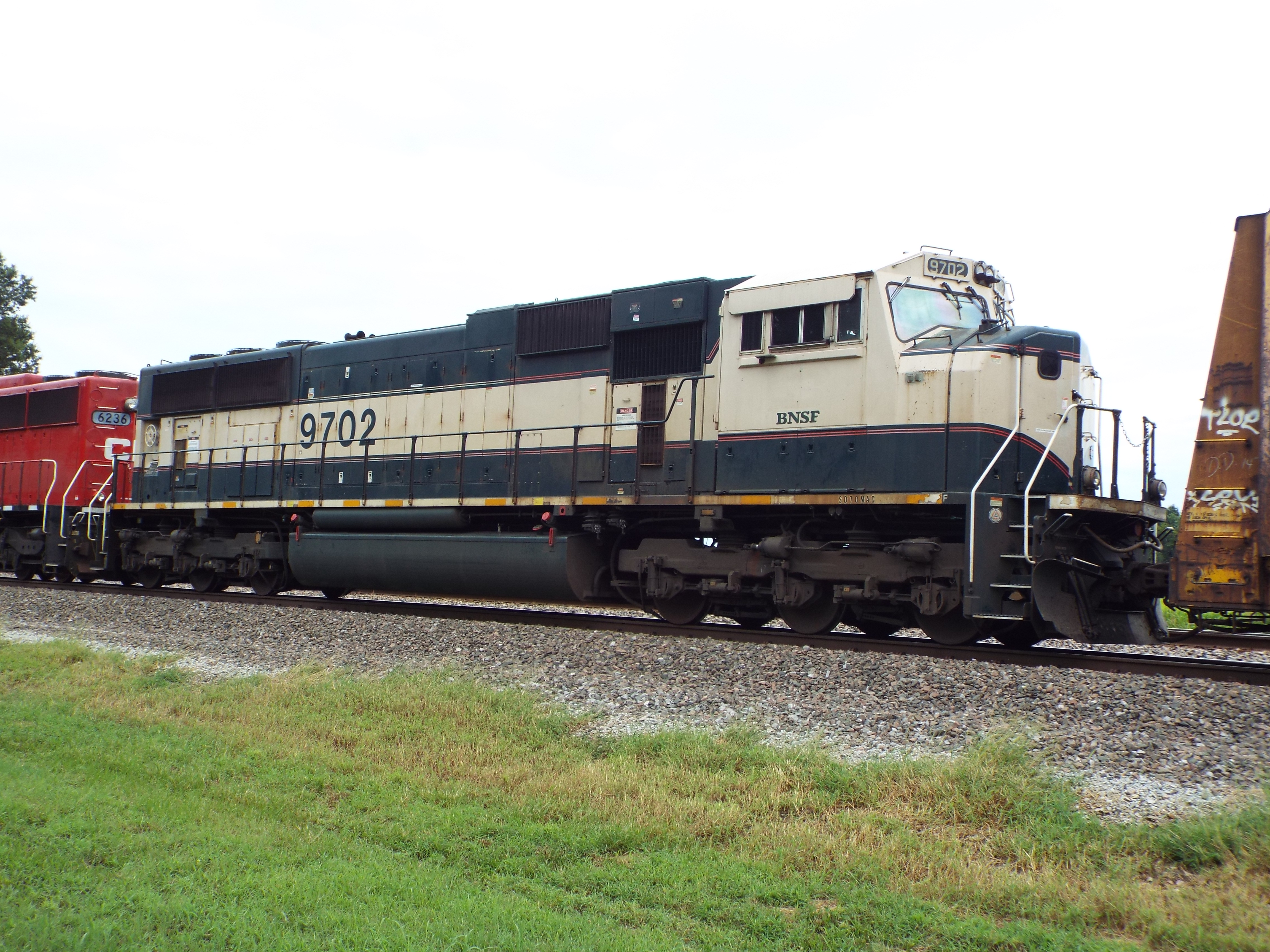
BNSF SD70MAC 9702
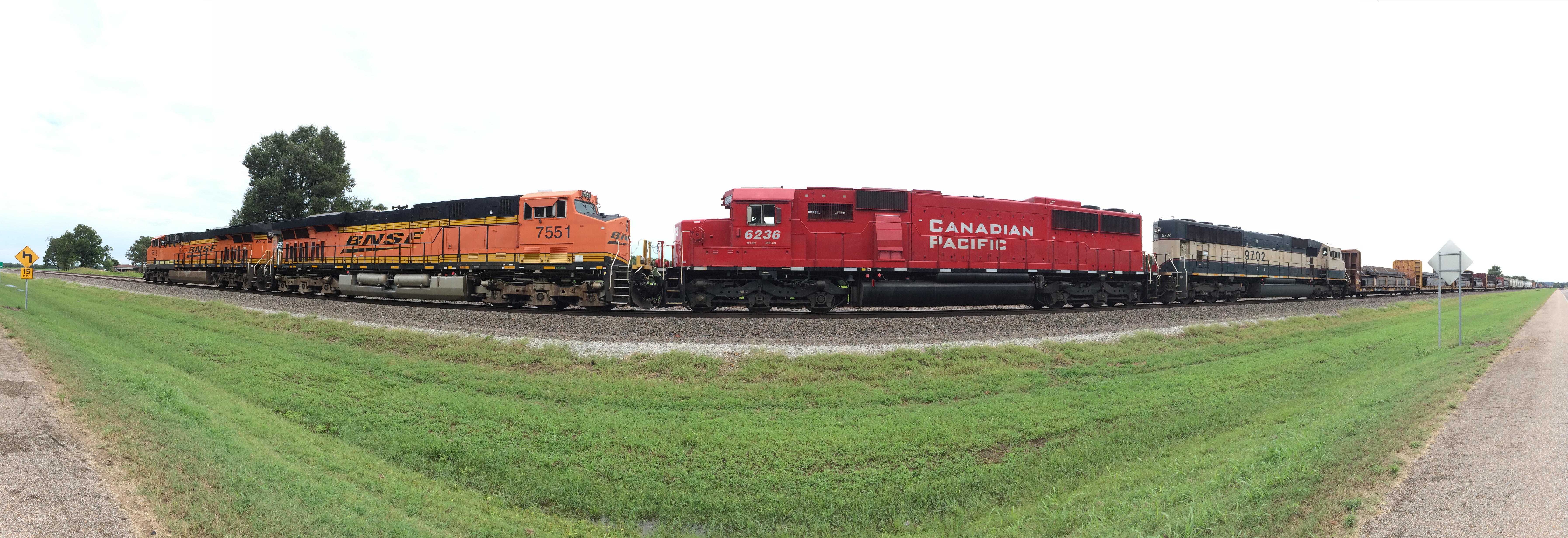
BNSF & CP at Bono Pano!
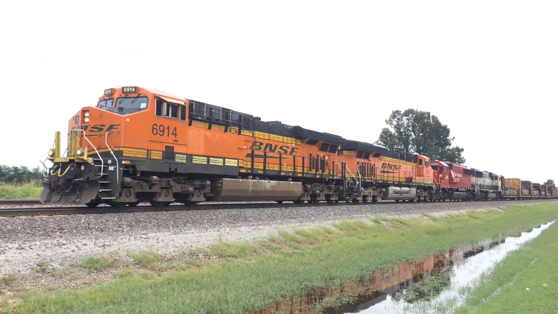
BNSF ES44C4 6914
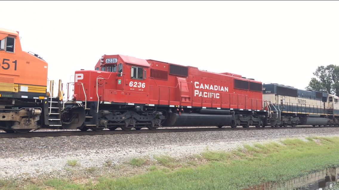
CP SD60 6236

Only the beginning

Layla looks at my makeup mirror
Topographic Map of Texas Township, AR, USA
Find elevation by address:

Places in Texas Township, AR, USA:
Places near Texas Township, AR, USA:
Cash
AR-18, Cash, AR, USA
AR-18, Cash, AR, USA
Little Texas Township
County Road 133
AR-, Jonesboro, AR, USA
US 49, Jonesboro, AR, USA
Gilkerson Township
6070 Beaver Dam Ln
Jonesboro, AR, USA
207 Harry Dr
Casey Springs Road
2601 Neely Rd
US 49, Jonesboro, AR, USA
1207 Chimney Chase Dr
Valley View Junior High School
1938 Paula Dr
Jonesboro Township
Jonesboro Township
Jonesboro Township
Recent Searches:
- Elevation of 7 Waterfall Way, Tomball, TX, USA
- Elevation of SW 57th Ave, Portland, OR, USA
- Elevation of Crocker Dr, Vacaville, CA, USA
- Elevation of Pu Ngaol Community Meeting Hall, HWHM+3X7, Krong Saen Monourom, Cambodia
- Elevation of Royal Ontario Museum, Queens Park, Toronto, ON M5S 2C6, Canada
- Elevation of Groblershoop, South Africa
- Elevation of Power Generation Enterprises | Industrial Diesel Generators, Oak Ave, Canyon Country, CA, USA
- Elevation of Chesaw Rd, Oroville, WA, USA
- Elevation of N, Mt Pleasant, UT, USA
- Elevation of 6 Rue Jules Ferry, Beausoleil, France