Elevation of Happy Jack Rd, Livermore, CO, USA
Location: United States > Colorado > Larimer County > Livermore >
Longitude: -105.35945
Latitude: 40.732164
Elevation: 2131m / 6991feet
Barometric Pressure: 78KPa
Elevation Map:
Satellite Map:
Related Photos:

Shadow Dragon

A Northern Colorado Gem: Livermore Valley

View from Mt Bierstadt

My Reward

Red Mountain Falls

Red Mountain Blues

Ode to Our Laramie Foothills

Night Hike @ Eagle's Nest Open Space

Jewels of the Glen

Poudre Canyon Views
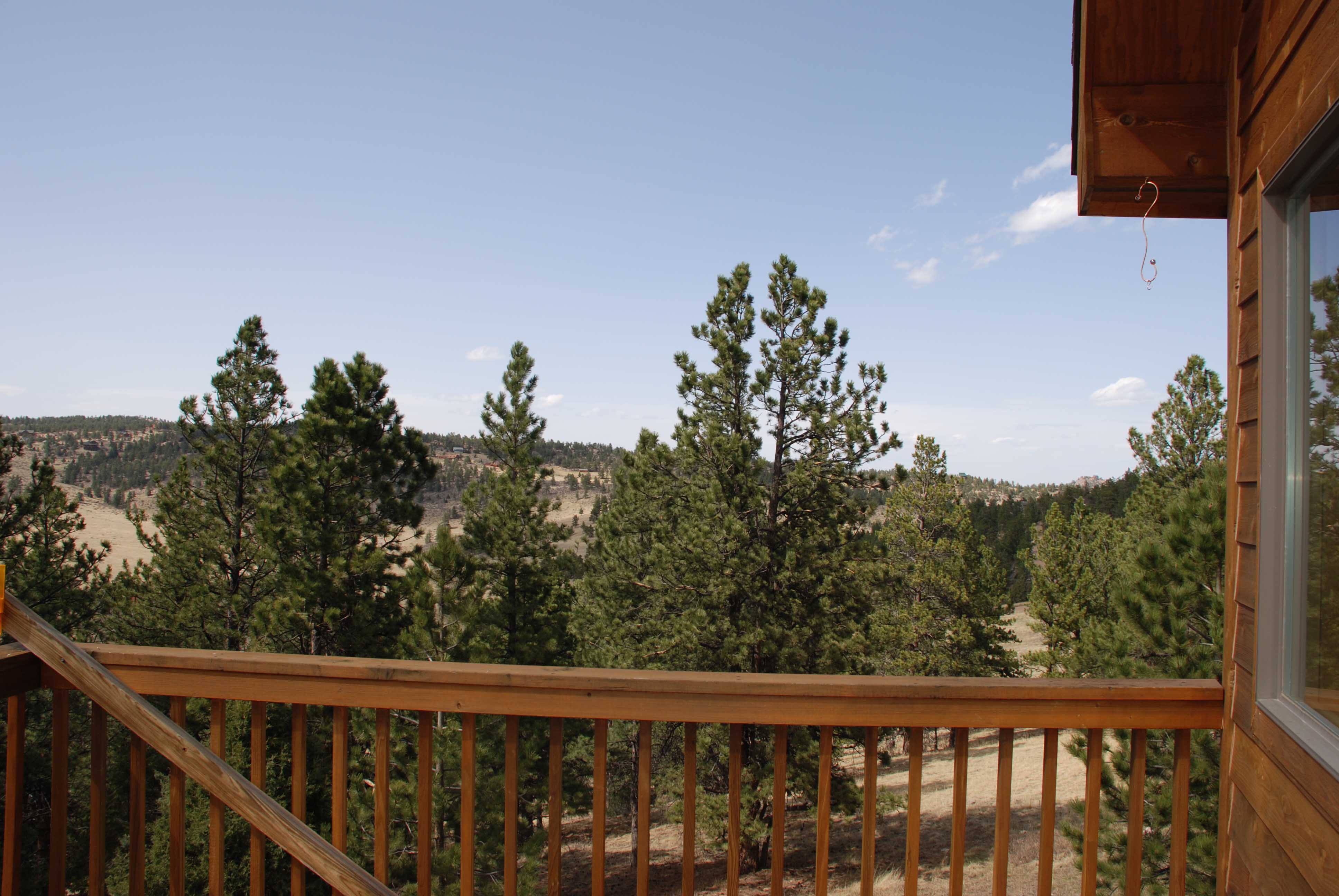
Gorgeous, unobstructed views

A Different Path

Wooded lot

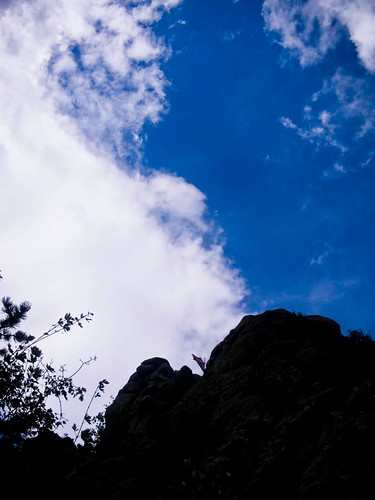
Mark on the Summit

Mountain view

Winter Poudre Canyon

Pingree Park Afternoon

Along the Cache la Poudre - Poudre Canyon, Colorado

Poudre Lower Narrows

Bridge to Pingree Park

A Poudre Canyon Passage

On an Afternoon Drive for Firewood.

Mt. Sopris Thunderstorm "It is better to have less thunder in the mouth and more lightning in the hand." - American Indian Proverb

Crazy tunnel

Grey Rock

Young Gulch Creek
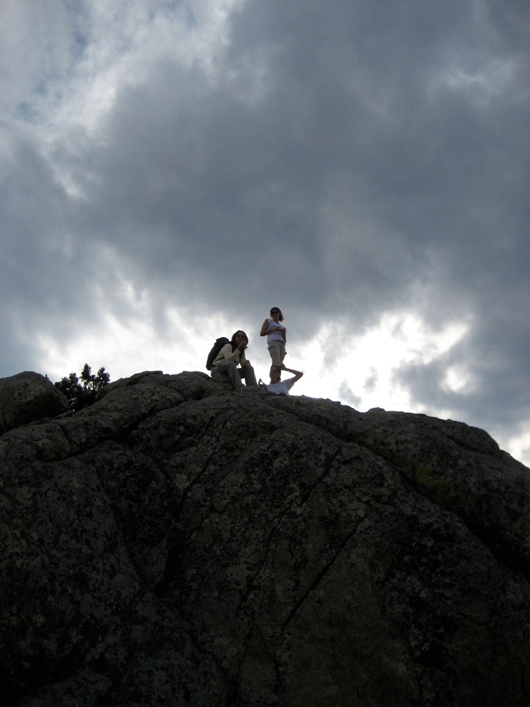
All up

The Great Stupa of Dharmakaya, Which Liberates Upon Seeing -- Red Feather Lake, CO
Grey Rock Mountain
Topographic Map of Happy Jack Rd, Livermore, CO, USA
Find elevation by address:

Places near Happy Jack Rd, Livermore, CO, USA:
1854 Star View Dr
Open Meadow Court
133 Mt Wrangell Ct
919 Eiger Rd
Ansel Watrous Campground
327 Montcalm Dr
13714 Poudre Canyon Rd
The Mishawaka
Mishawaka
1652 Eiger Rd
11151 Poudre Canyon Rd
27 Mount Axtell Dr
67 Smokey Mountain Ct
Poudre Park Day Use Area
Black Tail Way
1487 Montcalm Dr
285 St Elias Dr
57 Snowmass Dr
91 Matterhorn Ct
70 Park View Peak Dr
Recent Searches:
- Elevation of Erika Dr, Windsor, CA, USA
- Elevation of Village Ln, Finleyville, PA, USA
- Elevation of 24 Oakland Rd #, Scotland, ON N0E 1R0, Canada
- Elevation of Deep Gap Farm Rd E, Mill Spring, NC, USA
- Elevation of Dog Leg Dr, Minden, NV, USA
- Elevation of Dog Leg Dr, Minden, NV, USA
- Elevation of Kambingan Sa Pansol Atbp., Purok 7 Pansol, Candaba, Pampanga, Philippines
- Elevation of Pinewood Dr, New Bern, NC, USA
- Elevation of Mountain View, CA, USA
- Elevation of Foligno, Province of Perugia, Italy