Elevation of Black Tail Way, Livermore, CO, USA
Location: United States > Colorado > Larimer County > Livermore > Glacier View Meadows >
Longitude: -105.40430
Latitude: 40.7007746
Elevation: -10000m / -32808feet
Barometric Pressure: 295KPa
Elevation Map:
Satellite Map:
Related Photos:
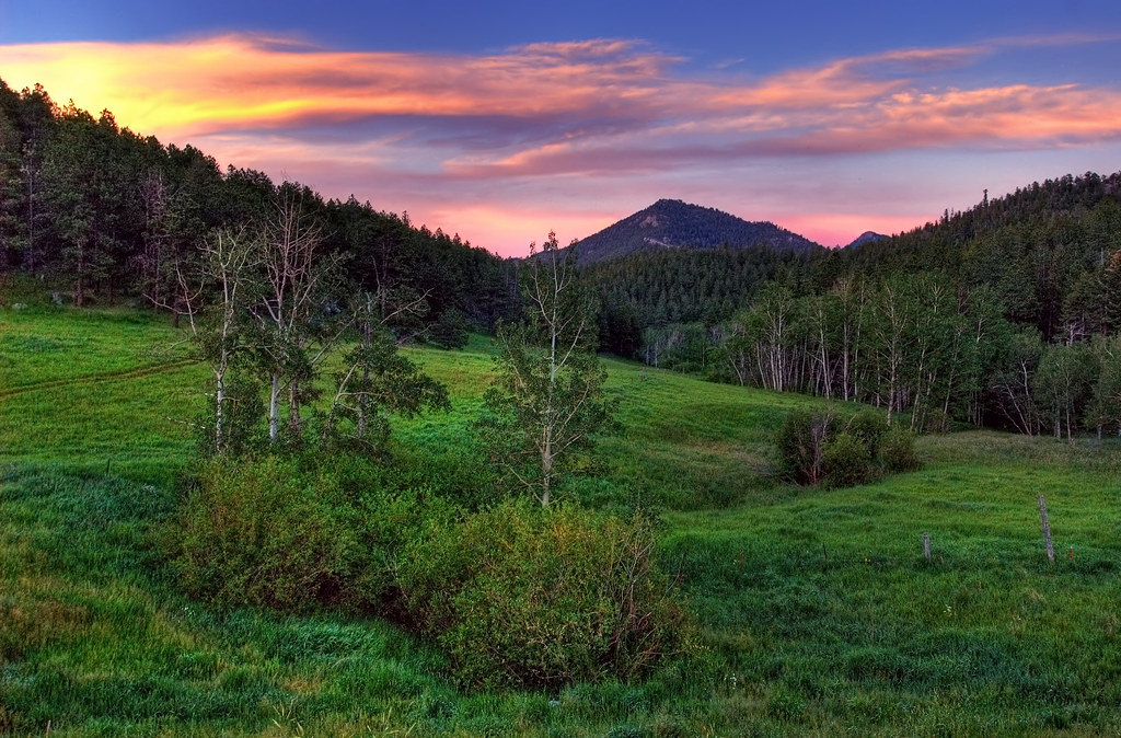
Old Flowers Road Sunset Vibrance

Jewels of the Glen

Poudre Canyon Views

Grey Rock
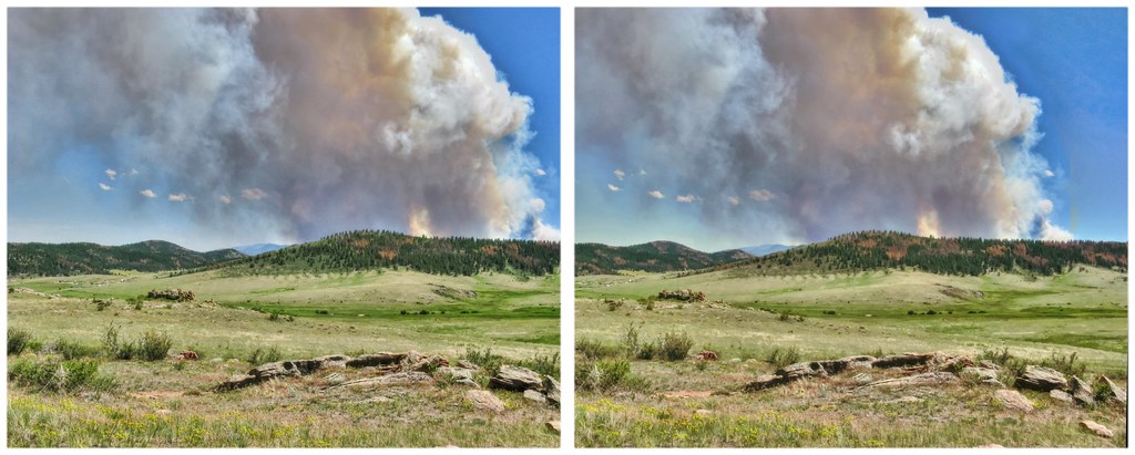
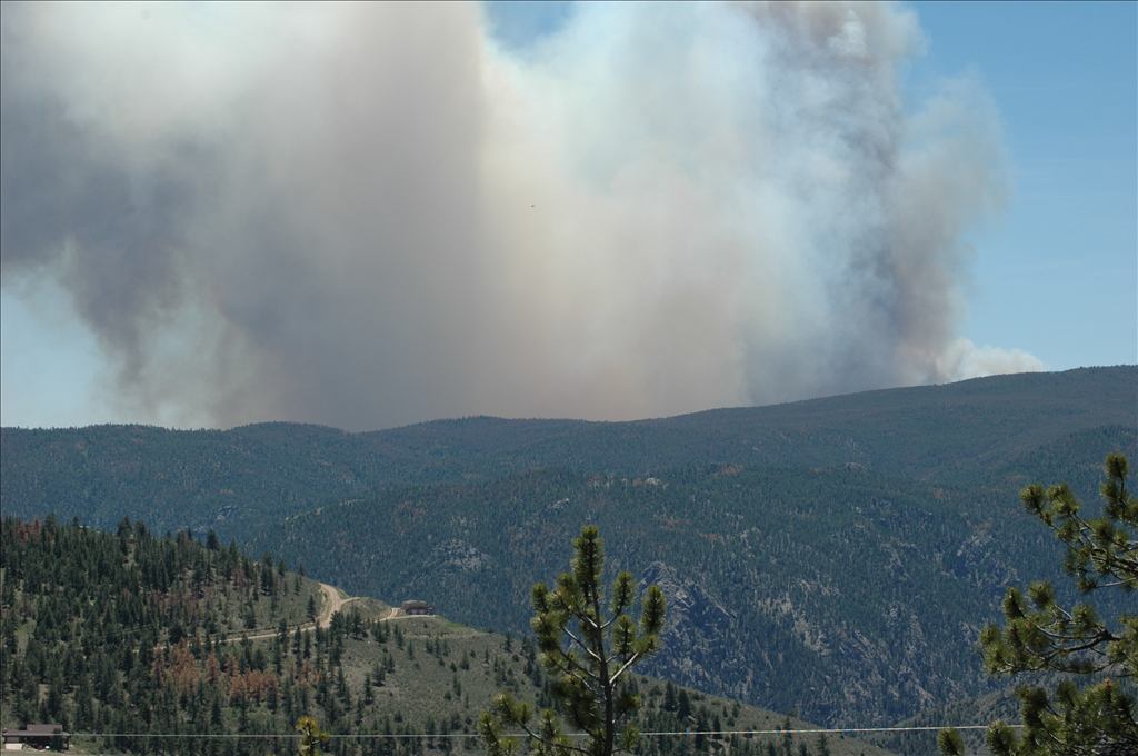
High Park Wildfire

shelter of the trees
See More, Go To Flickr & Search "DrShawnboy" - People
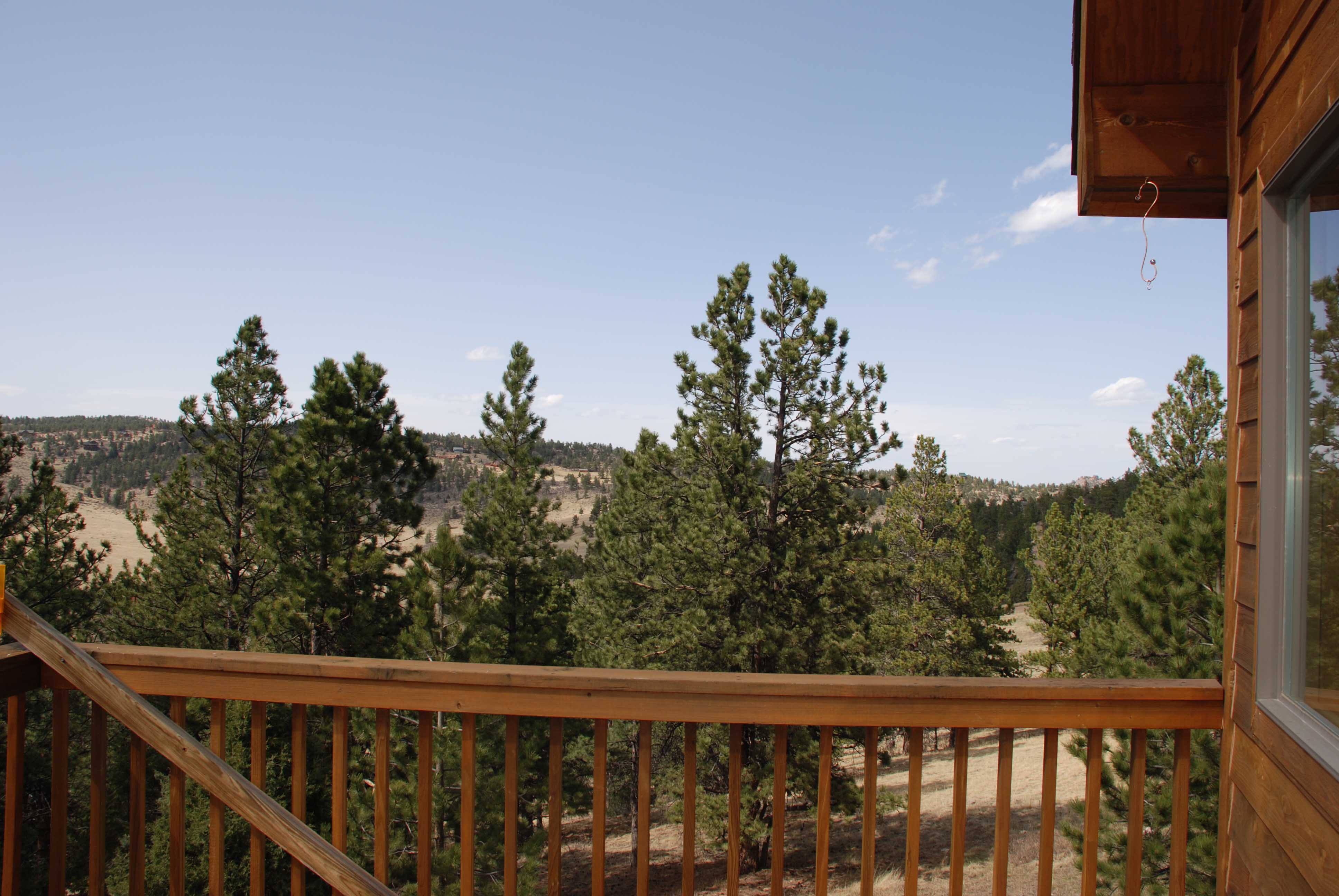
Gorgeous, unobstructed views

A Different Path

Wooded lot

Mountain view
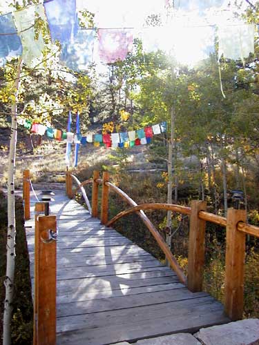
Brook Bridge

Poudre Canyon

Pingree Park Afternoon

Along the Cache la Poudre - Poudre Canyon, Colorado

Bridge to Pingree Park

A Poudre Canyon Passage

On an Afternoon Drive for Firewood.

Rist Canyon Meadow

Grey Rock

Young Gulch Creek

Stove Prairie II
WP_20150906_027(1)

071013-489F

Stranger atop Greyrock

20120720-NRCS-LSC-0381

Poudre Lower Narrows

Poudre River

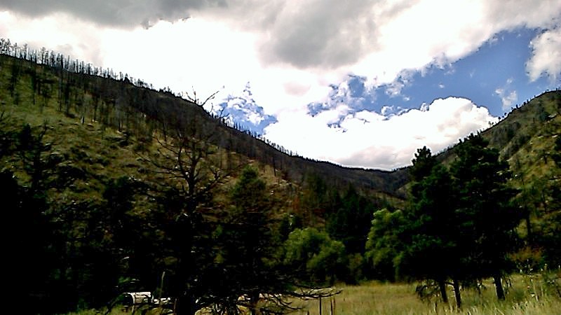
Mountains and Clouds

Mt. Sopris Thunderstorm "It is better to have less thunder in the mouth and more lightning in the hand." - American Indian Proverb
Topographic Map of Black Tail Way, Livermore, CO, USA
Find elevation by address:

Places near Black Tail Way, Livermore, CO, USA:
67 Smokey Mountain Ct
743 Horse Mountain Dr
361 Horse Mountain Dr
322 Turkey Roost Dr
539 Mt Mcconnell Dr
132 Singing Pines Ct
Turkey Roost Drive
1652 Eiger Rd
91 Matterhorn Ct
919 Eiger Rd
285 St Elias Dr
133 Mt Wrangell Ct
1487 Montcalm Dr
38 Eagles Nest Ct
327 Montcalm Dr
70 Park View Peak Dr
Open Meadow Court
136 Park View Peak Dr
722 Mt Massive Dr
171 Wetterhorn Ct
Recent Searches:
- Elevation of Congressional Dr, Stevensville, MD, USA
- Elevation of Bellview Rd, McLean, VA, USA
- Elevation of Stage Island Rd, Chatham, MA, USA
- Elevation of Shibuya Scramble Crossing, 21 Udagawacho, Shibuya City, Tokyo -, Japan
- Elevation of Jadagoniai, Kaunas District Municipality, Lithuania
- Elevation of Pagonija rock, Kranto 7-oji g. 8"N, Kaunas, Lithuania
- Elevation of Co Rd 87, Jamestown, CO, USA
- Elevation of Tenjo, Cundinamarca, Colombia
- Elevation of Côte-des-Neiges, Montreal, QC H4A 3J6, Canada
- Elevation of Bobcat Dr, Helena, MT, USA