Elevation of Eiger Rd, Livermore, CO, USA
Location: United States > Colorado > Larimer County > Livermore > Glacier View Meadows >
Longitude: -105.40153
Latitude: 40.722718
Elevation: 2184m / 7165feet
Barometric Pressure: 78KPa
Elevation Map:
Satellite Map:
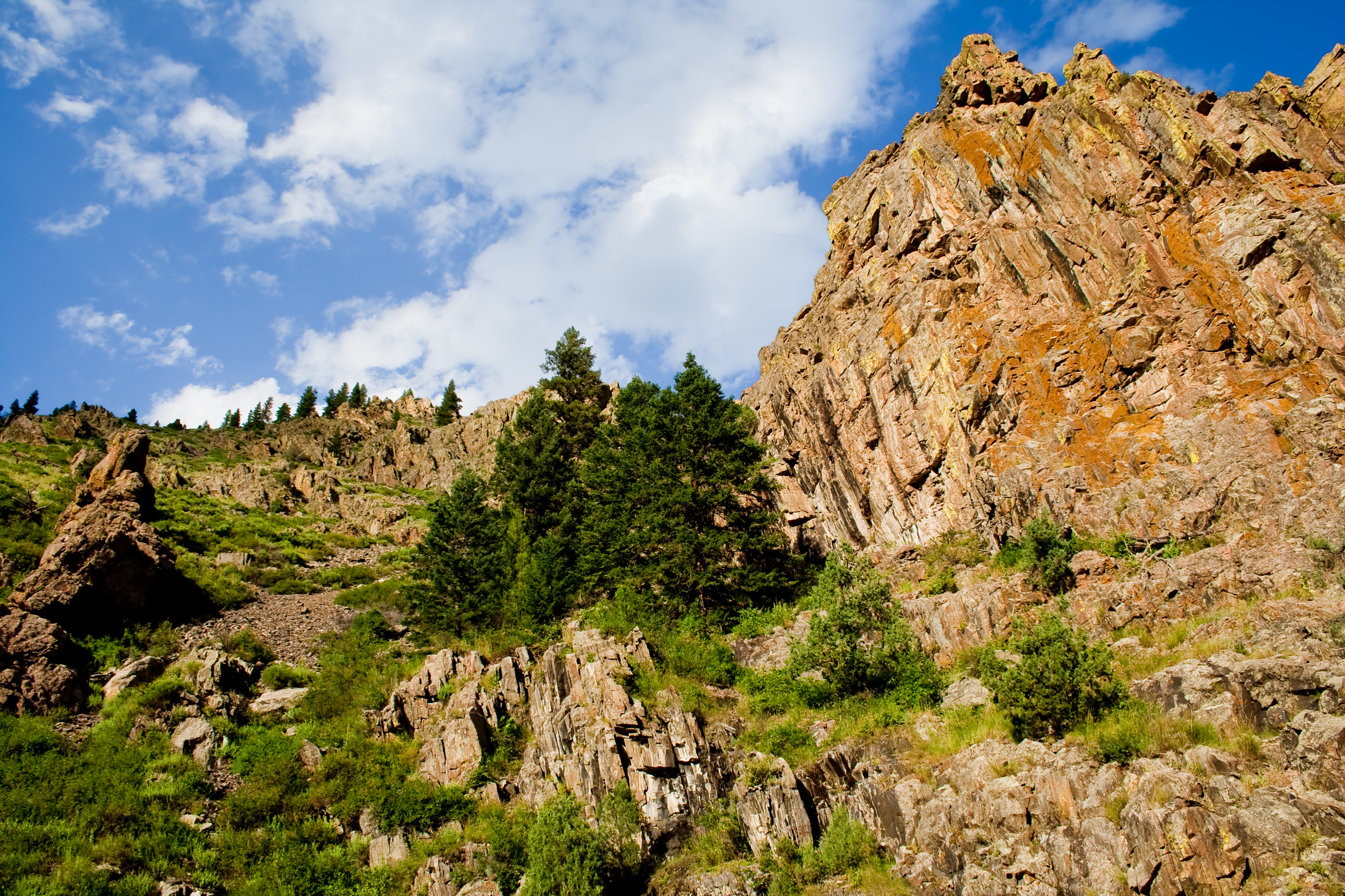
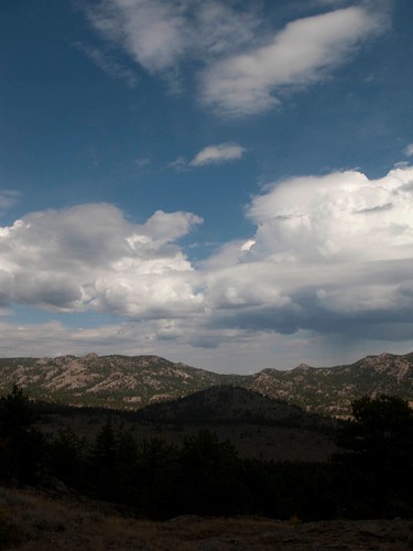
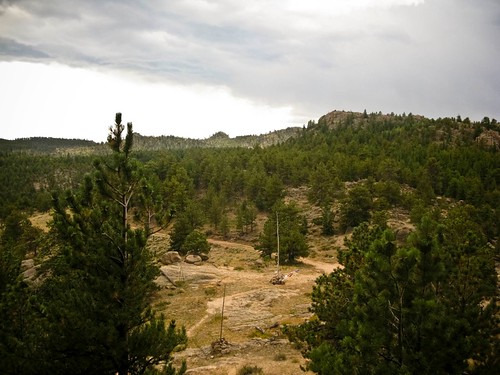
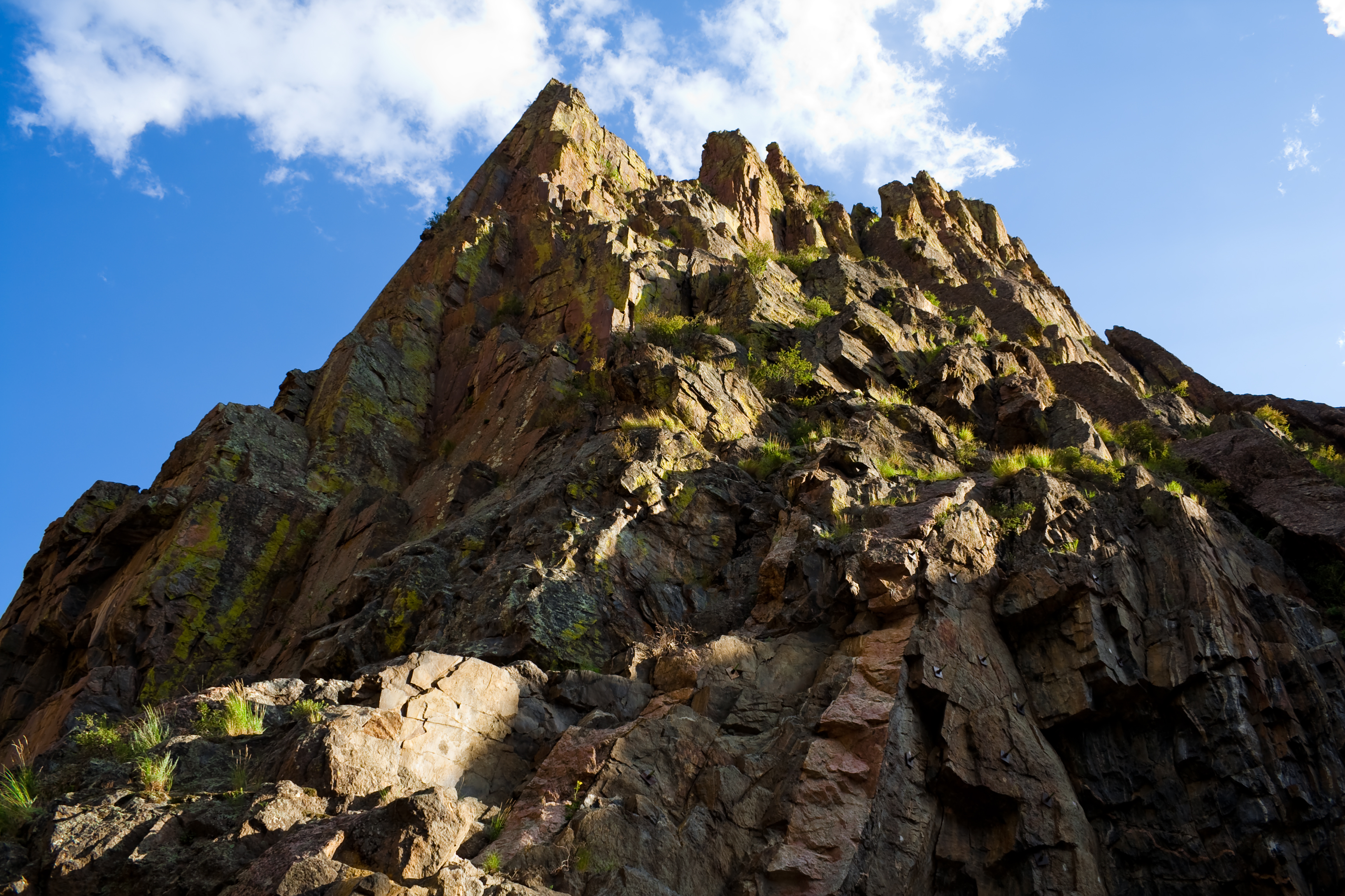
Related Photos:

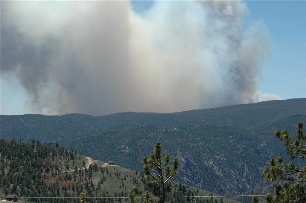
High Park Wildfire
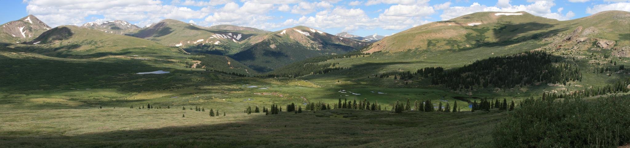
View from Mt Bierstadt
See More, Go To Flickr & Search "DrShawnboy" - People
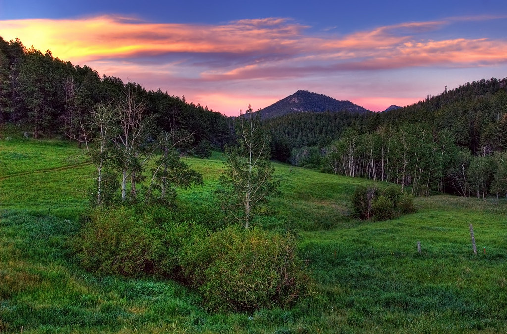
Old Flowers Road Sunset Vibrance

Jewels of the Glen

Aspen Leaf
My Reward
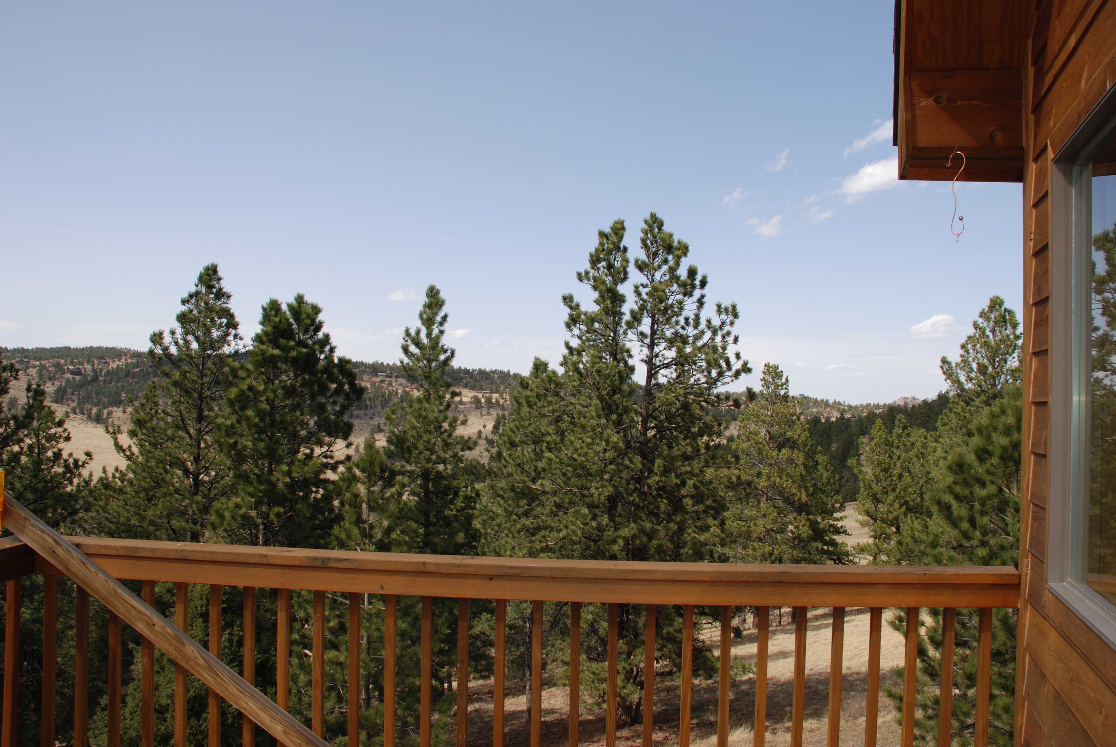
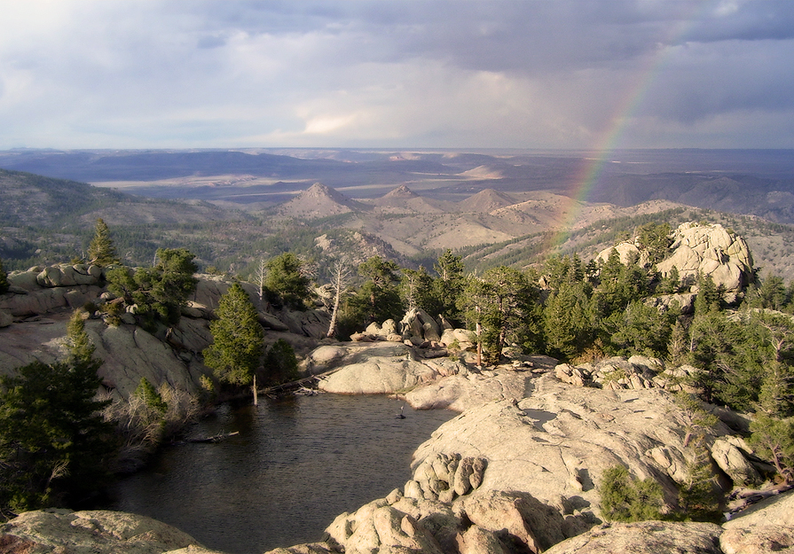
Gorgeous, unobstructed views
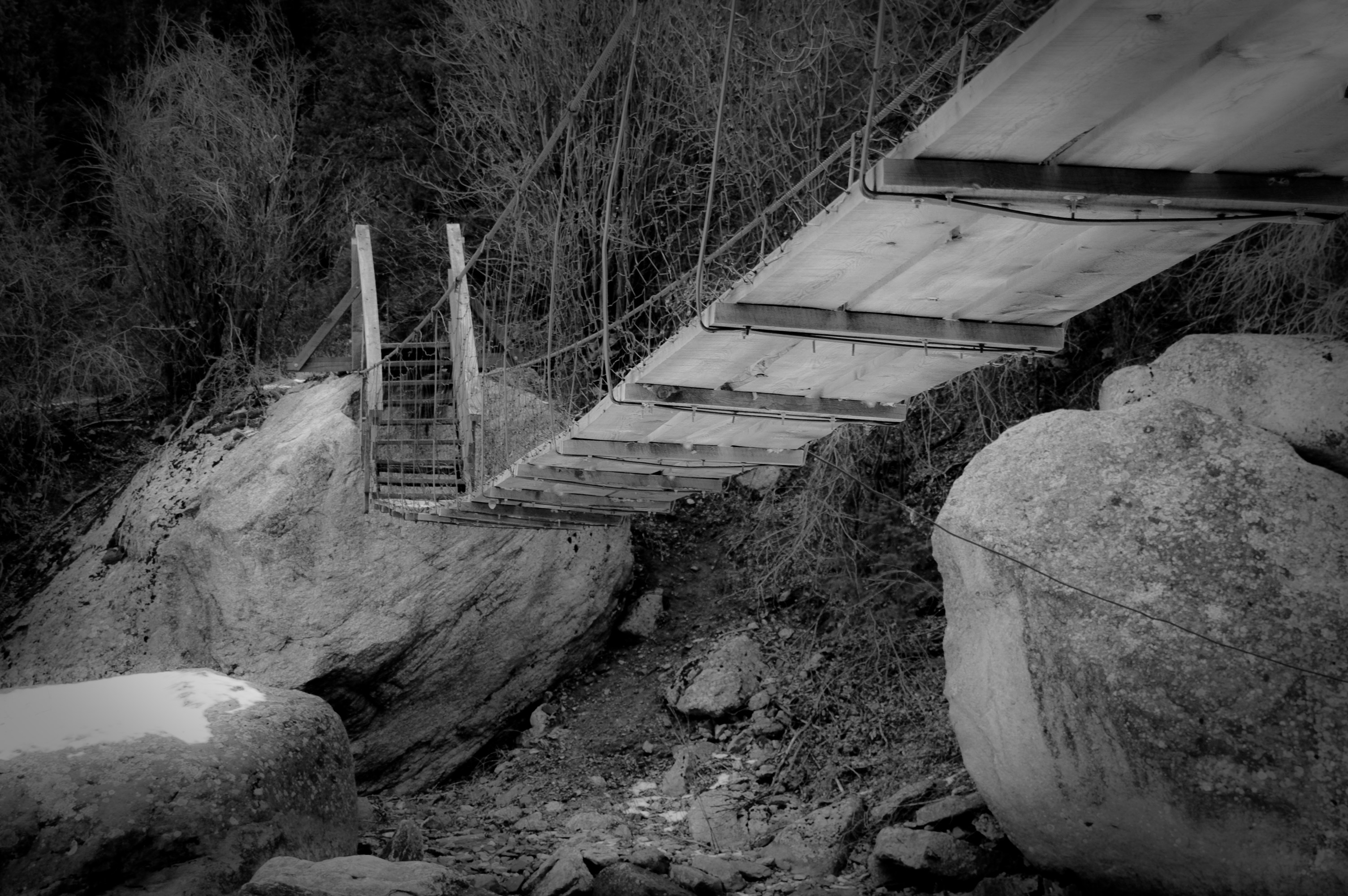
Walking Bridge
All up
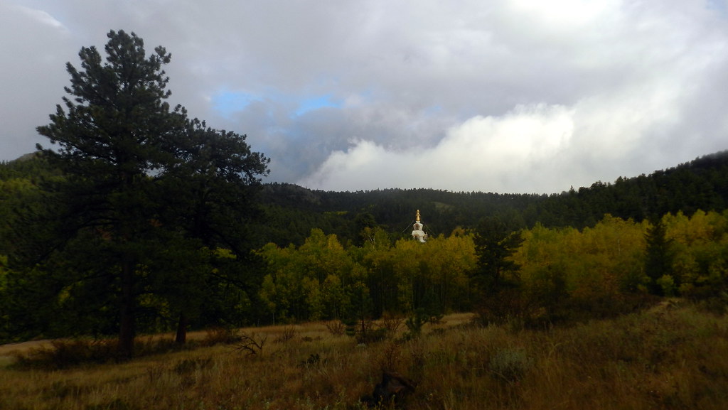
The Great Stupa of Dharmakaya, Which Liberates Upon Seeing -- Red Feather Lake, CO

20110924-_DSC9160
Mountaintop 6
Weathers changing
Time to leave
Mountaintop 7

Mt. Sopris Thunderstorm "It is better to have less thunder in the mouth and more lightning in the hand." - American Indian Proverb
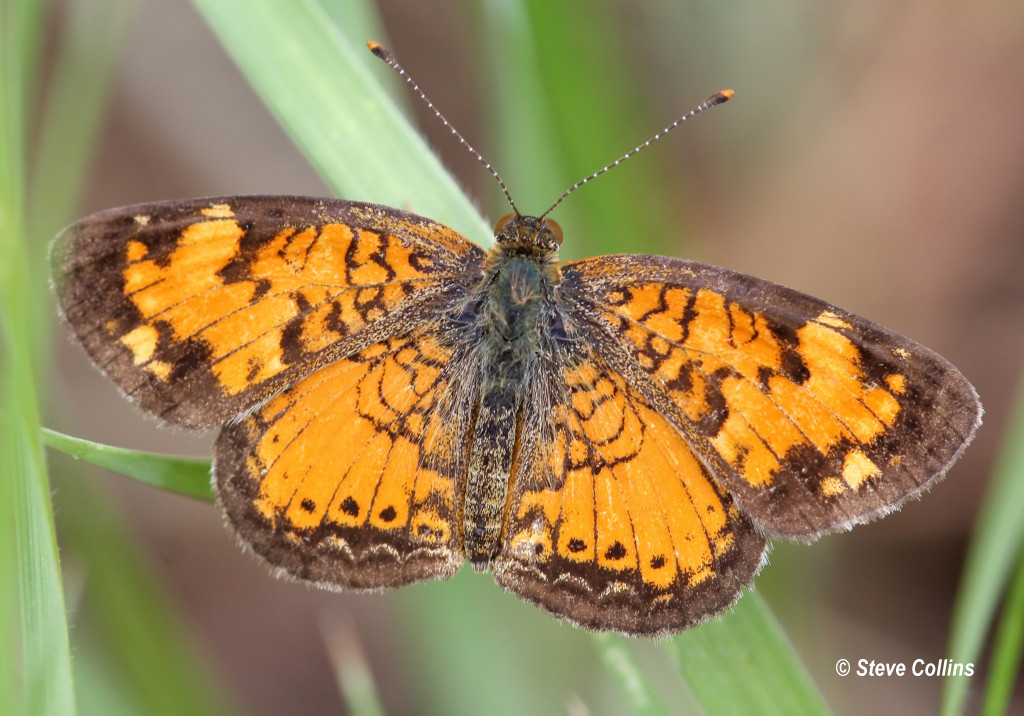
Northern Crescent (Phyciodes cocyta)
Mount Margaret Trail 10/3
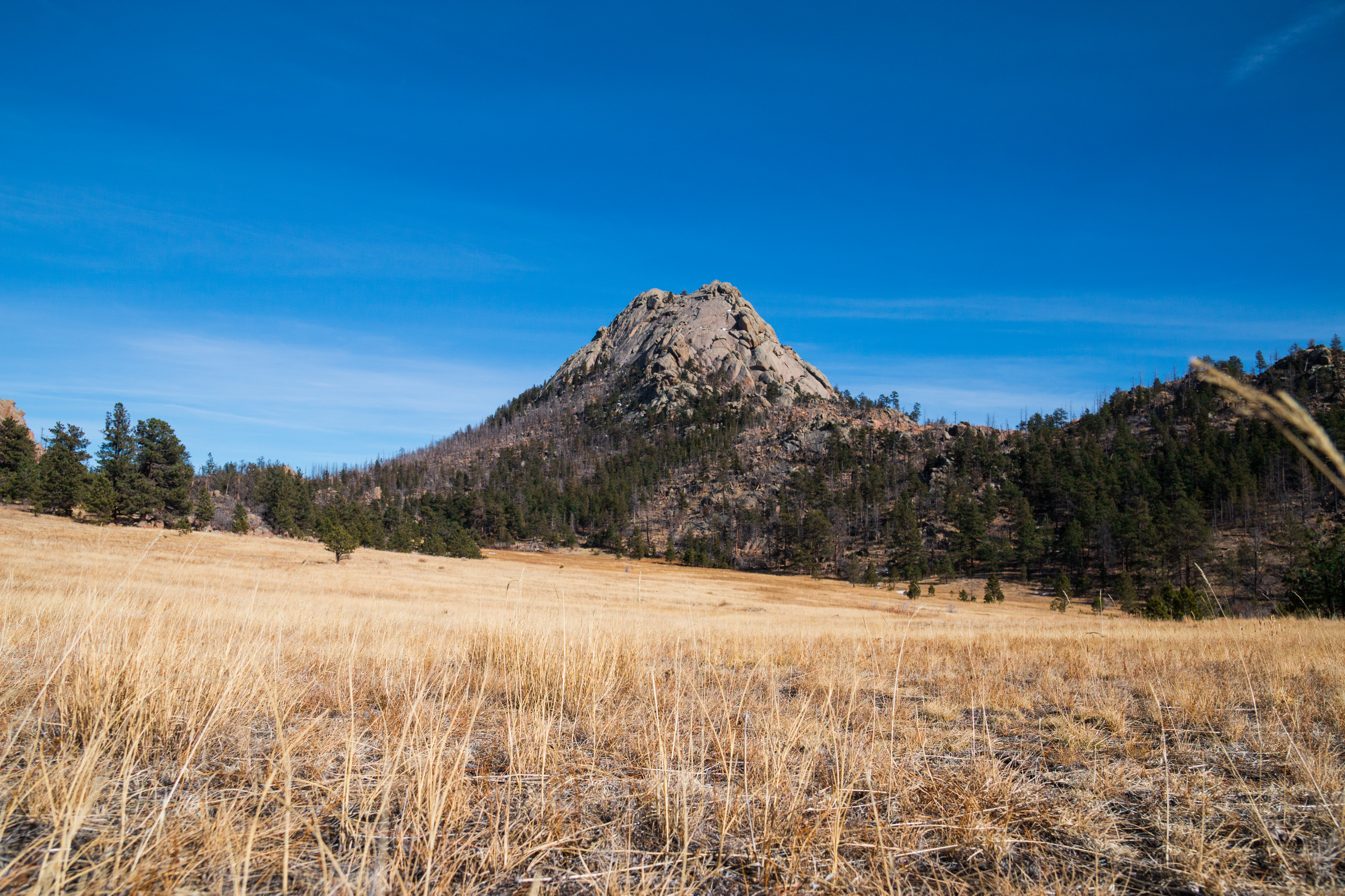
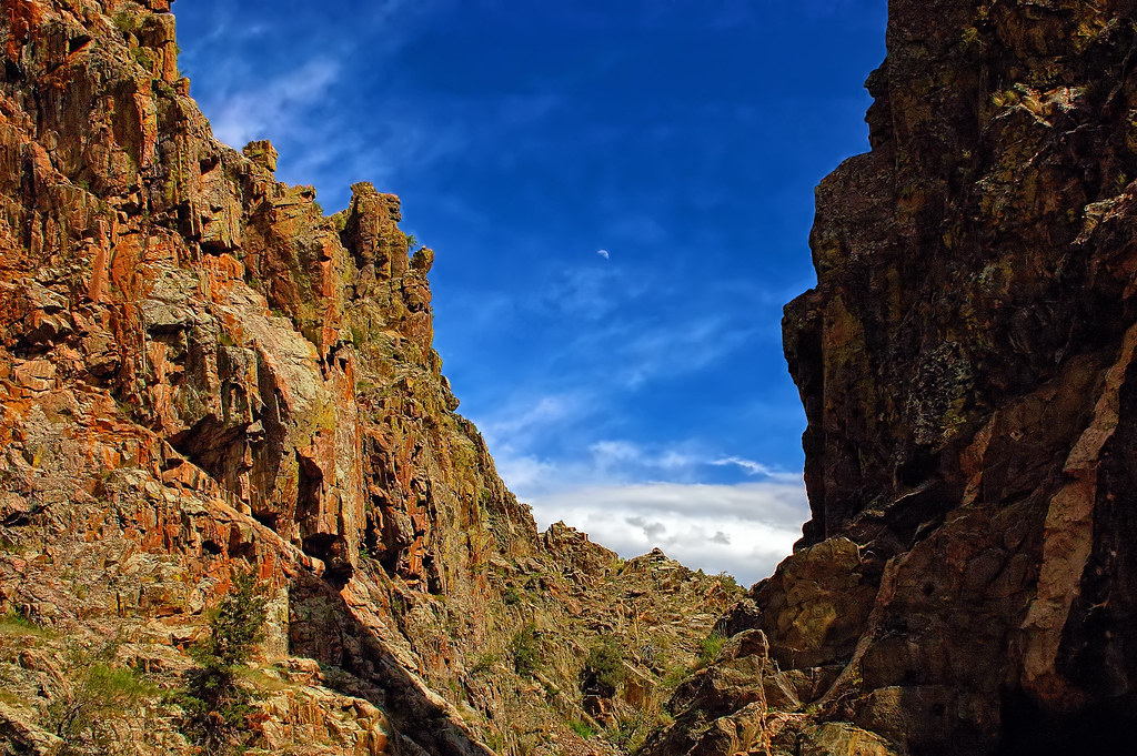
Grey Rock

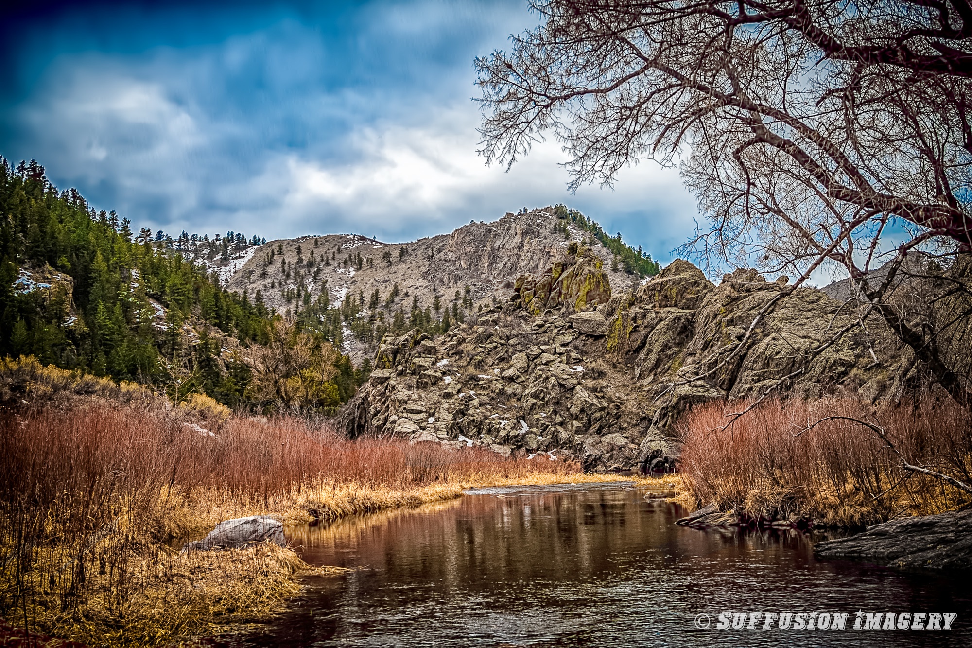
Poudre Canyon
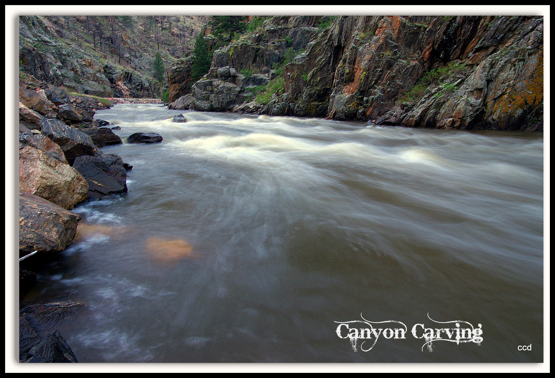
Poudre Lower Narrows
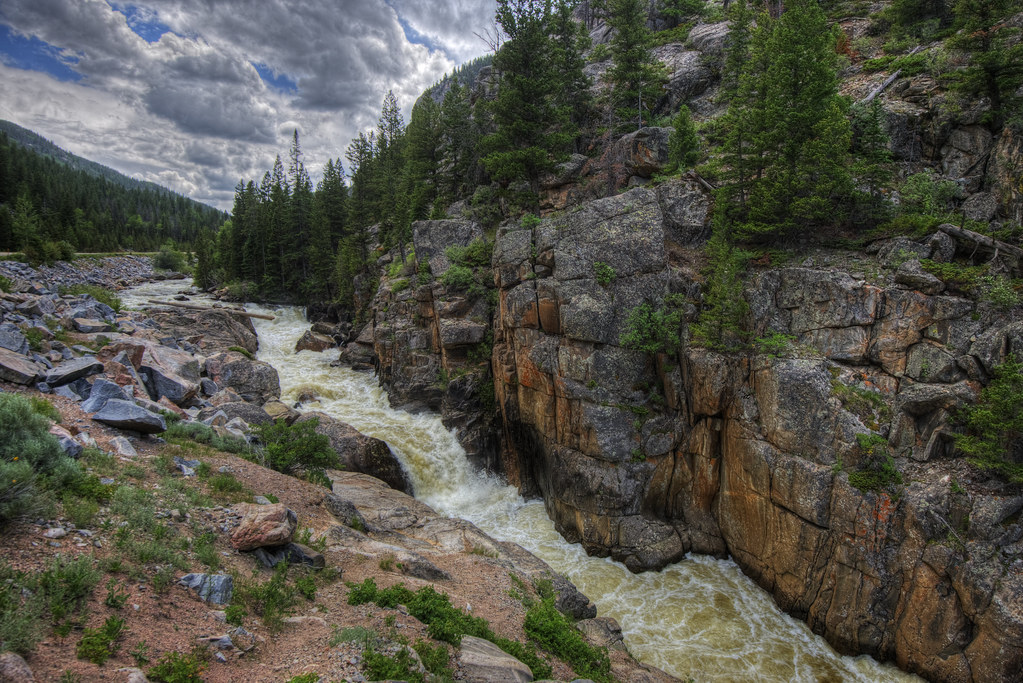
Poudre River
A Poudre Canyon Passage
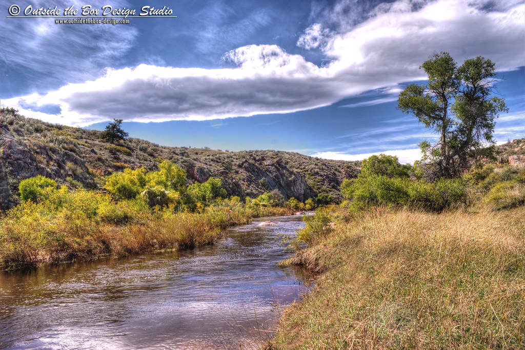
Cache la Poudre River - Eagle's Nest Open Space - Larimer County, Colorado

Crazy tunnel
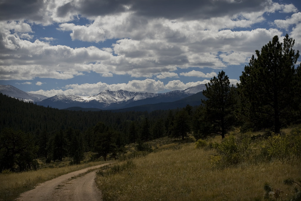
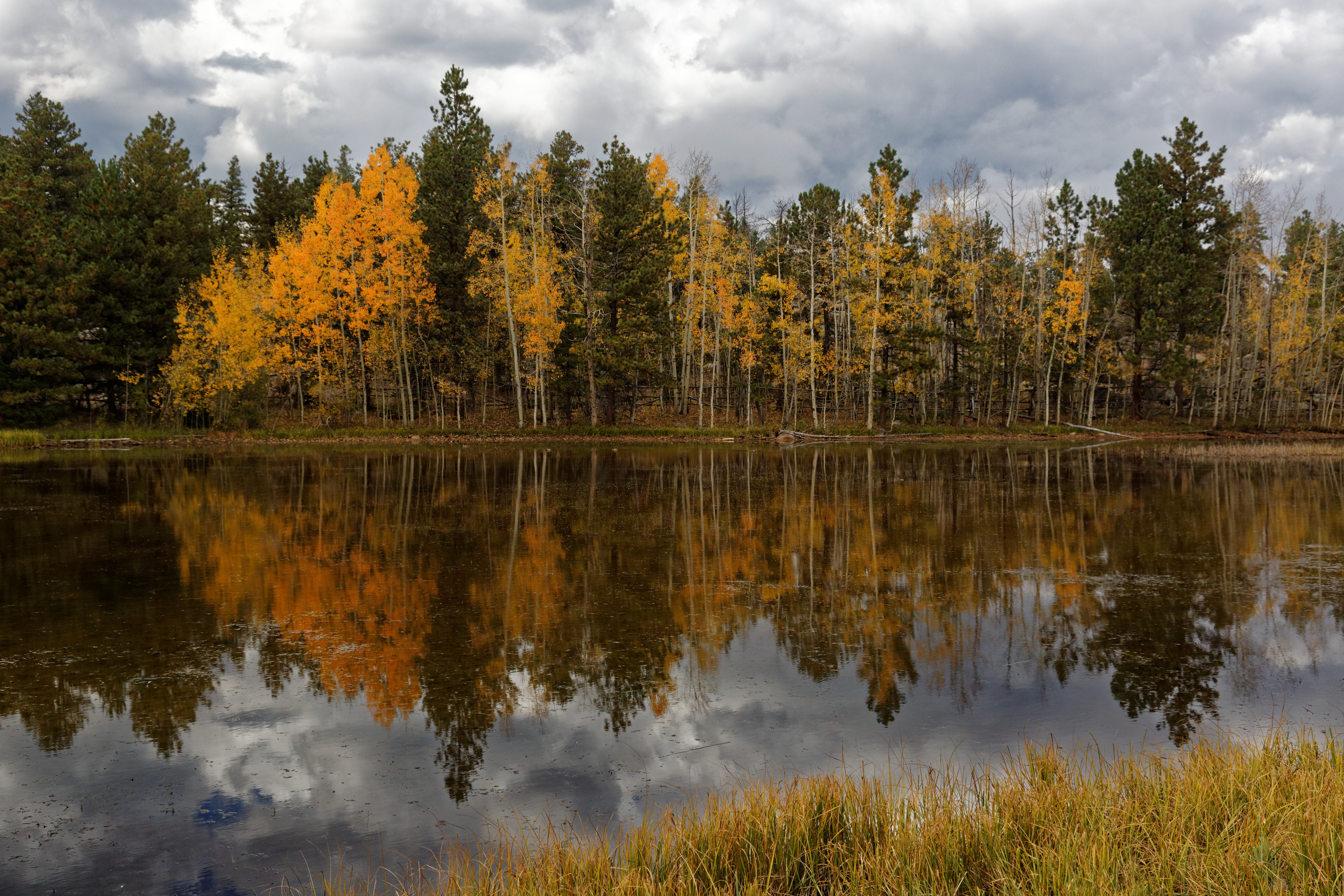
Mountains and Clouds
03-10-2007-112634-0001-device-2000-wm
Topographic Map of Eiger Rd, Livermore, CO, USA
Find elevation by address:

Places near Eiger Rd, Livermore, CO, USA:
133 Mt Wrangell Ct
327 Montcalm Dr
Open Meadow Court
1652 Eiger Rd
285 St Elias Dr
1487 Montcalm Dr
91 Matterhorn Ct
70 Park View Peak Dr
136 Park View Peak Dr
722 Mt Massive Dr
38 Eagles Nest Ct
67 Smokey Mountain Ct
132 Singing Pines Ct
361 Horse Mountain Dr
Turkey Roost Drive
322 Turkey Roost Dr
Black Tail Way
171 Wetterhorn Ct
Glacier View Meadows
743 Horse Mountain Dr
Recent Searches:
- Elevation of W Granada St, Tampa, FL, USA
- Elevation of Pykes Down, Ivybridge PL21 0BY, UK
- Elevation of Jalan Senandin, Lutong, Miri, Sarawak, Malaysia
- Elevation of Bilohirs'k
- Elevation of 30 Oak Lawn Dr, Barkhamsted, CT, USA
- Elevation of Luther Road, Luther Rd, Auburn, CA, USA
- Elevation of Unnamed Road, Respublika Severnaya Osetiya — Alaniya, Russia
- Elevation of Verkhny Fiagdon, North Ossetia–Alania Republic, Russia
- Elevation of F. Viola Hiway, San Rafael, Bulacan, Philippines
- Elevation of Herbage Dr, Gulfport, MS, USA