Elevation of Poudre Canyon Rd, Bellvue, CO, USA
Location: United States > Colorado > Bellvue >
Longitude: -105.36563
Latitude: 40.6875602
Elevation: 1789m / 5869feet
Barometric Pressure: 82KPa
Elevation Map:
Satellite Map:
Related Photos:
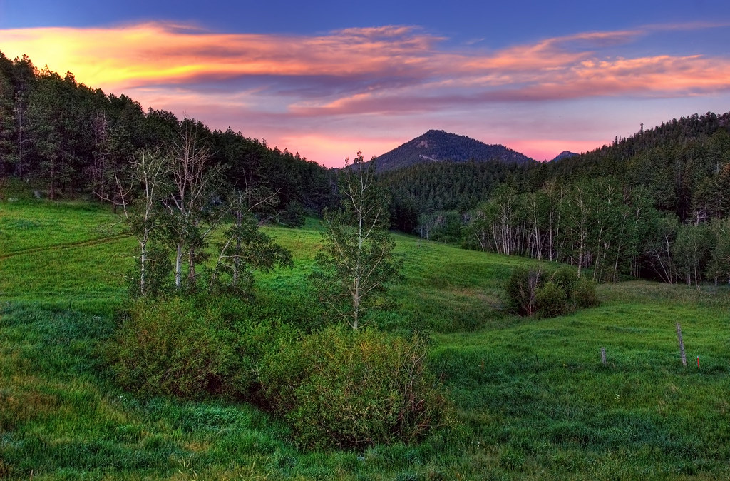
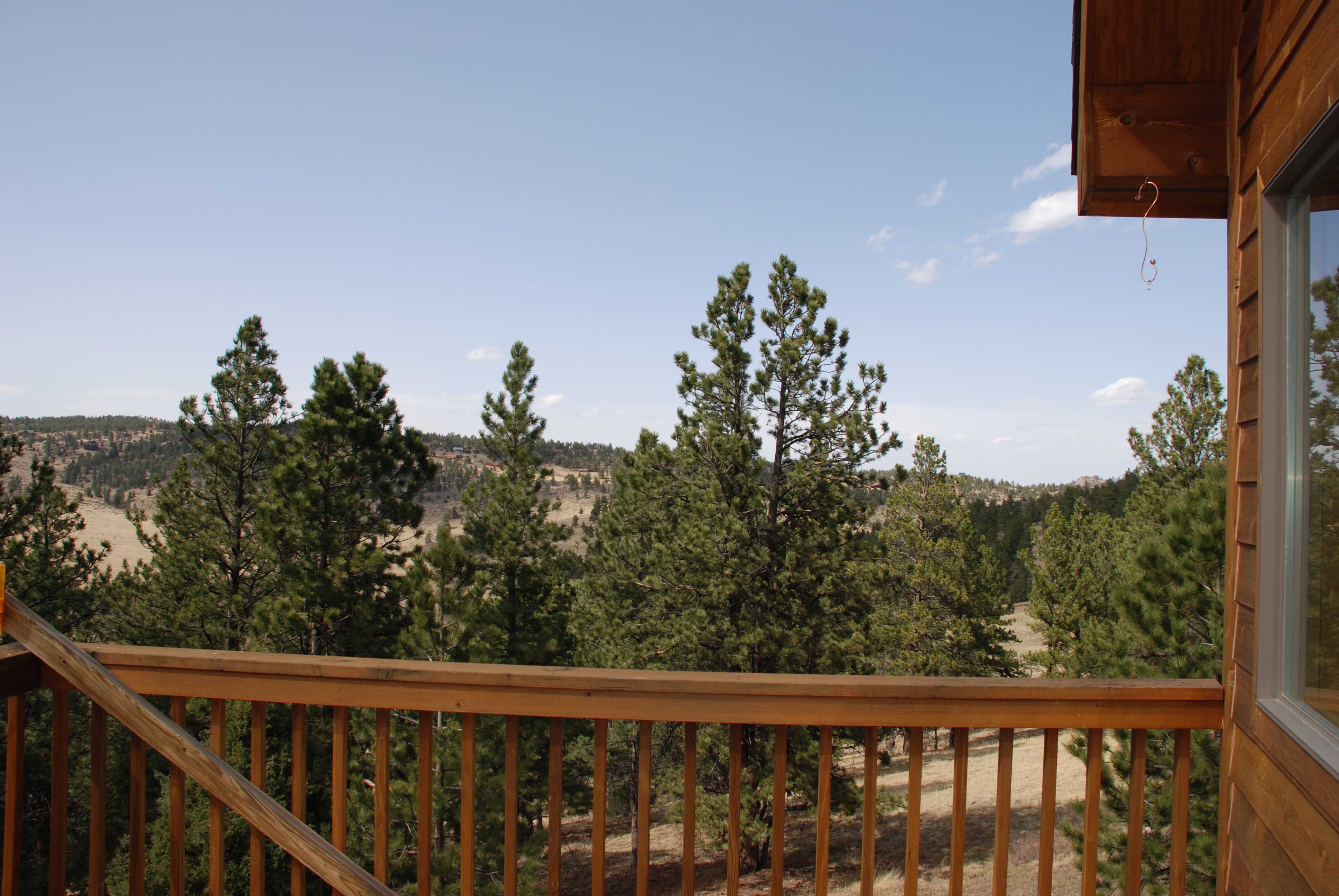
Old Flowers Road Sunset Vibrance

Jewels of the Glen

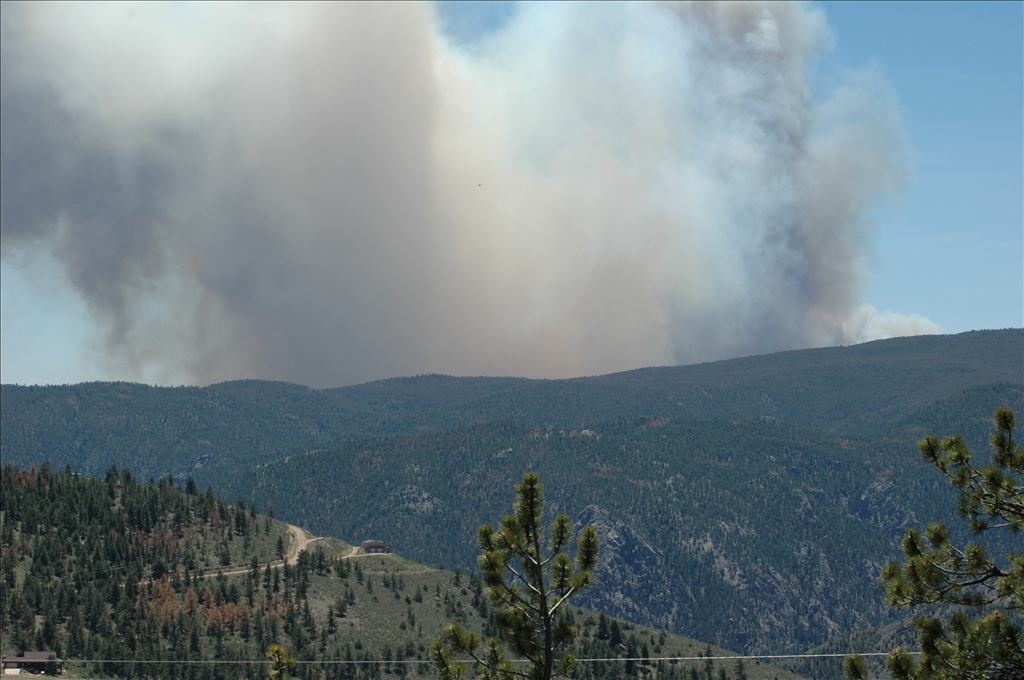
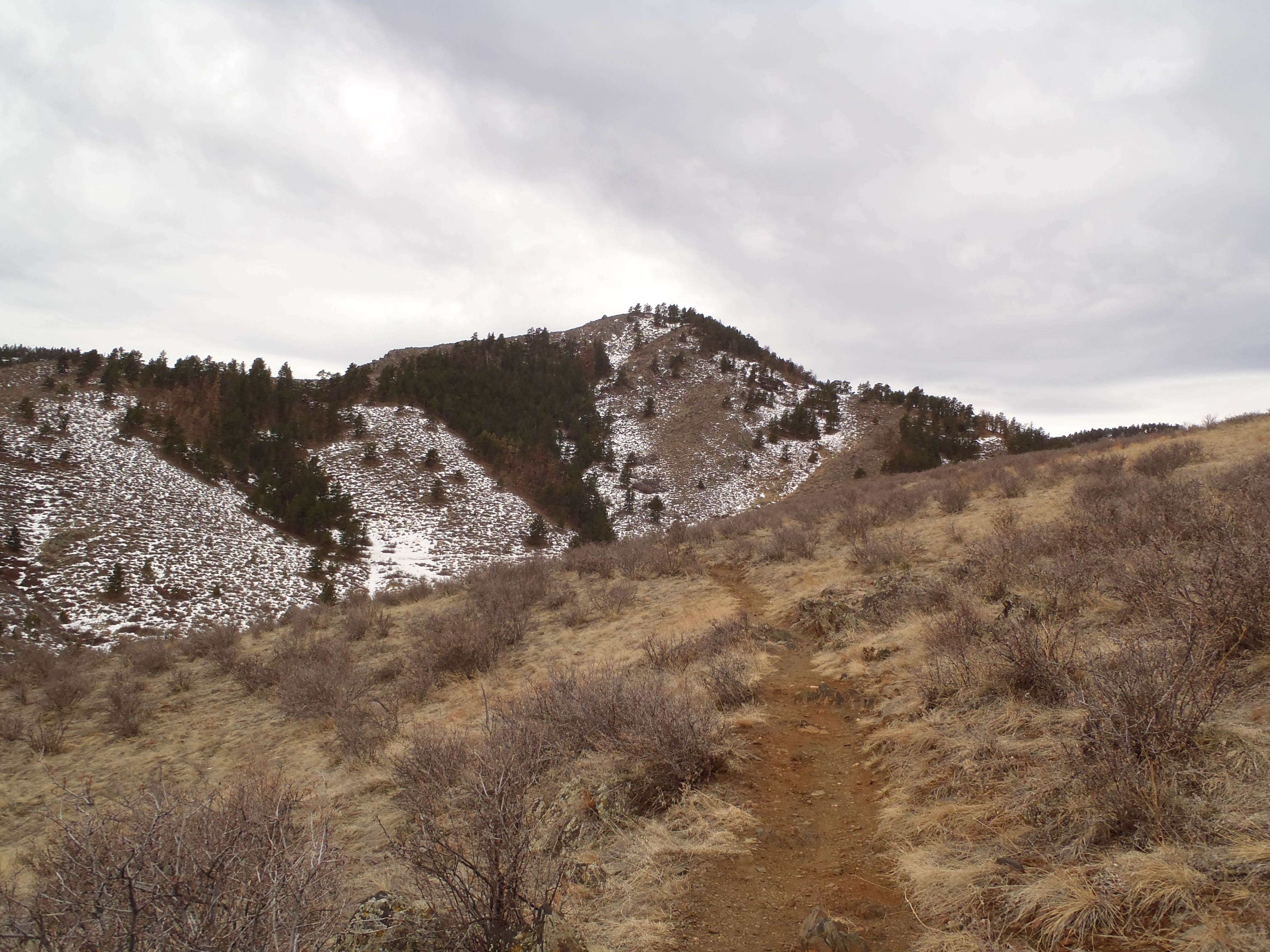
High Park Wildfire

Aspen Leaf
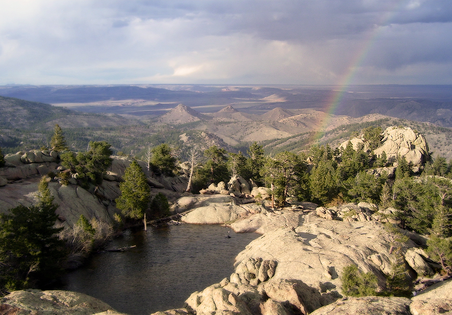
View from Mt Bierstadt
My Reward
See More, Go To Flickr & Search "DrShawnboy" - People
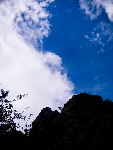
Gorgeous, unobstructed views

Crazy tunnel

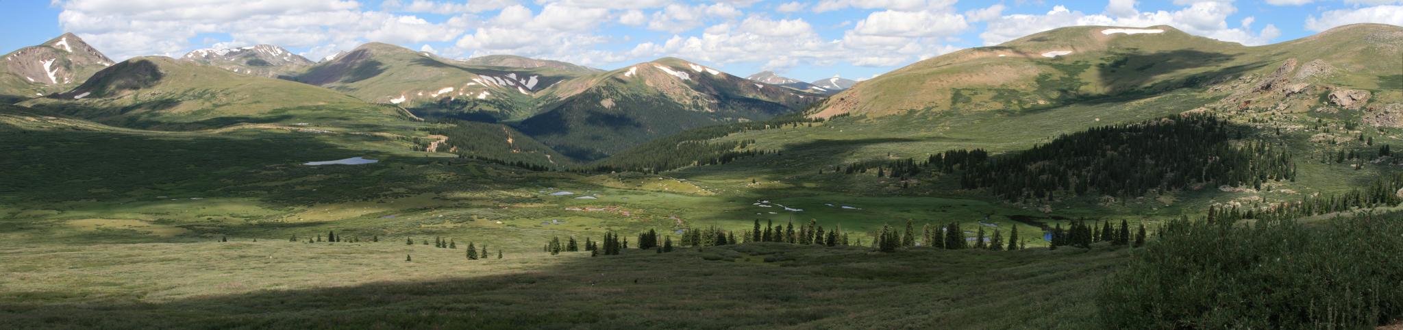
Colorado Rocky Mountains
Lory State Park-5.jpg
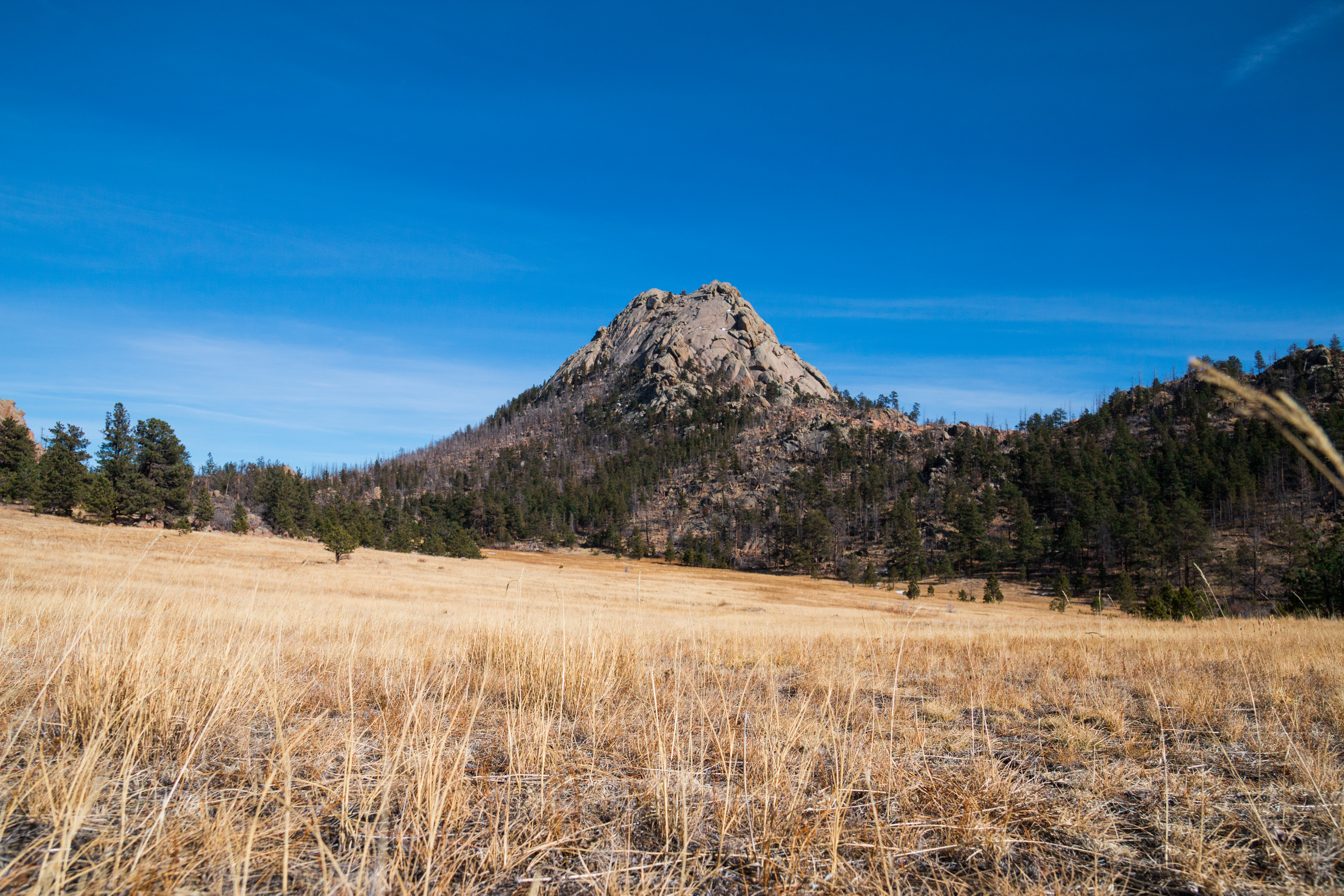
Grey Rock

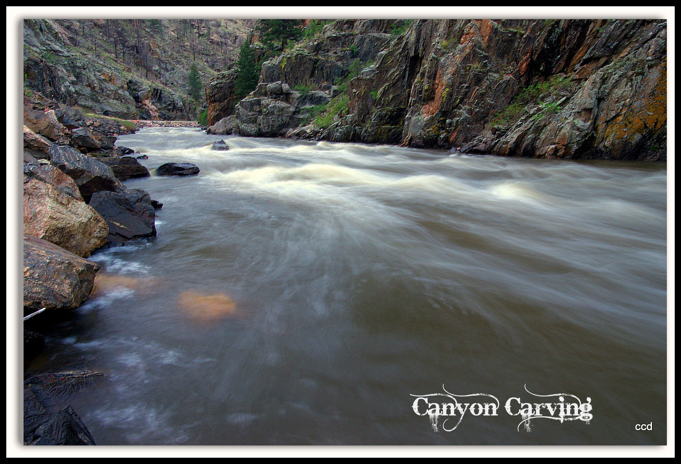
Poudre Canyon
Poudre Lower Narrows
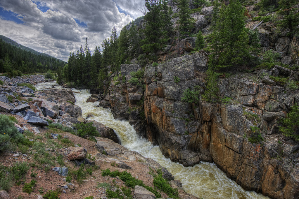
Poudre River
A Poudre Canyon Passage
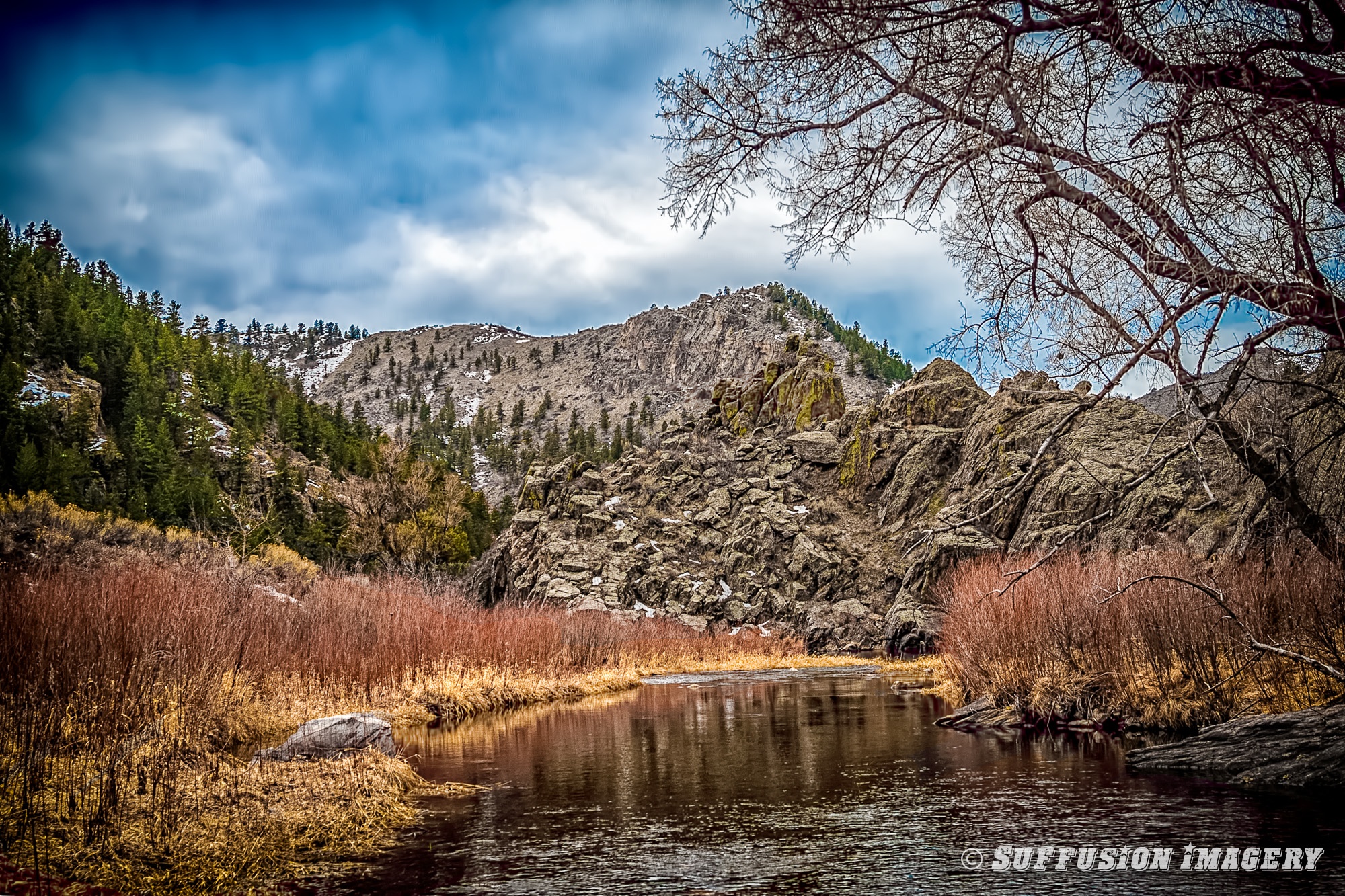
Cache la Poudre River - Eagle's Nest Open Space - Larimer County, Colorado
Mountains and Clouds
All up
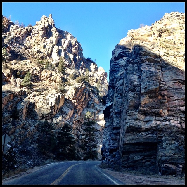
Driving through The Narrows on Poudre Canyon Road. #colorado #colorfulcolorado #igerscolorado
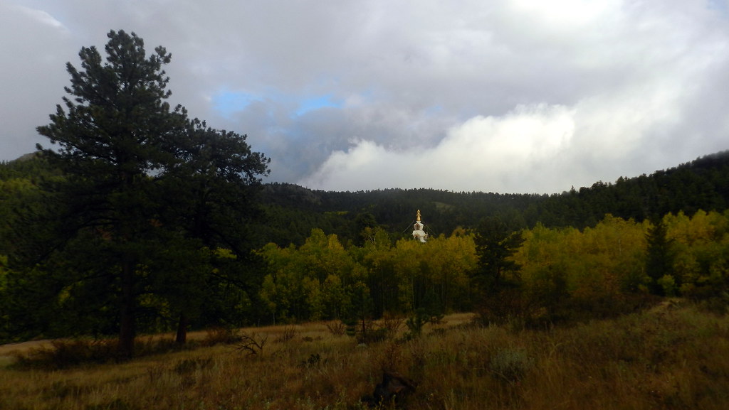
The Great Stupa of Dharmakaya, Which Liberates Upon Seeing -- Red Feather Lake, CO
03-10-2007-112634-0001-device-2000-wm
Grey Rock Mountain
Grey Rock Mountain
071013-489F
Grey Rock Mountain

Golden, Colorado
Topographic Map of Poudre Canyon Rd, Bellvue, CO, USA
Find elevation by address:

Places near Poudre Canyon Rd, Bellvue, CO, USA:
The Mishawaka
Mishawaka
Ansel Watrous Campground
1854 Star View Dr
Poudre Canyon Rd, Bellvue, CO, USA
Stove Prairie Campground
11151 Poudre Canyon Rd
67 Smokey Mountain Ct
Poudre Park Day Use Area
Black Tail Way
743 Horse Mountain Dr
1015 Happy Jack Rd
361 Horse Mountain Dr
539 Mt Mcconnell Dr
322 Turkey Roost Dr
132 Singing Pines Ct
150 Hewlett Gulch Trail
Turkey Roost Drive
1652 Eiger Rd
919 Eiger Rd
Recent Searches:
- Elevation of Luther Road, Luther Rd, Auburn, CA, USA
- Elevation of Unnamed Road, Respublika Severnaya Osetiya — Alaniya, Russia
- Elevation of Verkhny Fiagdon, North Ossetia–Alania Republic, Russia
- Elevation of F. Viola Hiway, San Rafael, Bulacan, Philippines
- Elevation of Herbage Dr, Gulfport, MS, USA
- Elevation of Lilac Cir, Haldimand, ON N3W 2G9, Canada
- Elevation of Harrod Branch Road, Harrod Branch Rd, Kentucky, USA
- Elevation of Wyndham Grand Barbados Sam Lords Castle All Inclusive Resort, End of Belair Road, Long Bay, Bridgetown Barbados
- Elevation of Iga Trl, Maggie Valley, NC, USA
- Elevation of N Co Rd 31D, Loveland, CO, USA