Elevation of Poudre Park Day Use Area, - Poudre Canyon Rd, Bellvue, CO, USA
Location: United States > Colorado > Bellvue >
Longitude: -105.32503
Latitude: 40.6900246
Elevation: 1742m / 5715feet
Barometric Pressure: 82KPa
Elevation Map:
Satellite Map:
Related Photos:
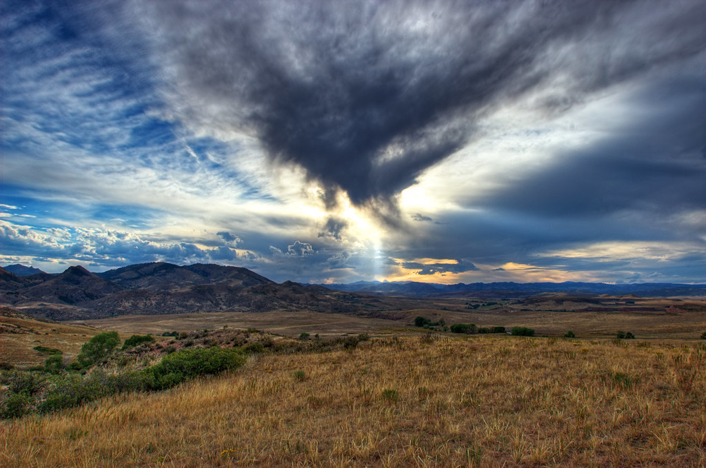
Shadow Dragon
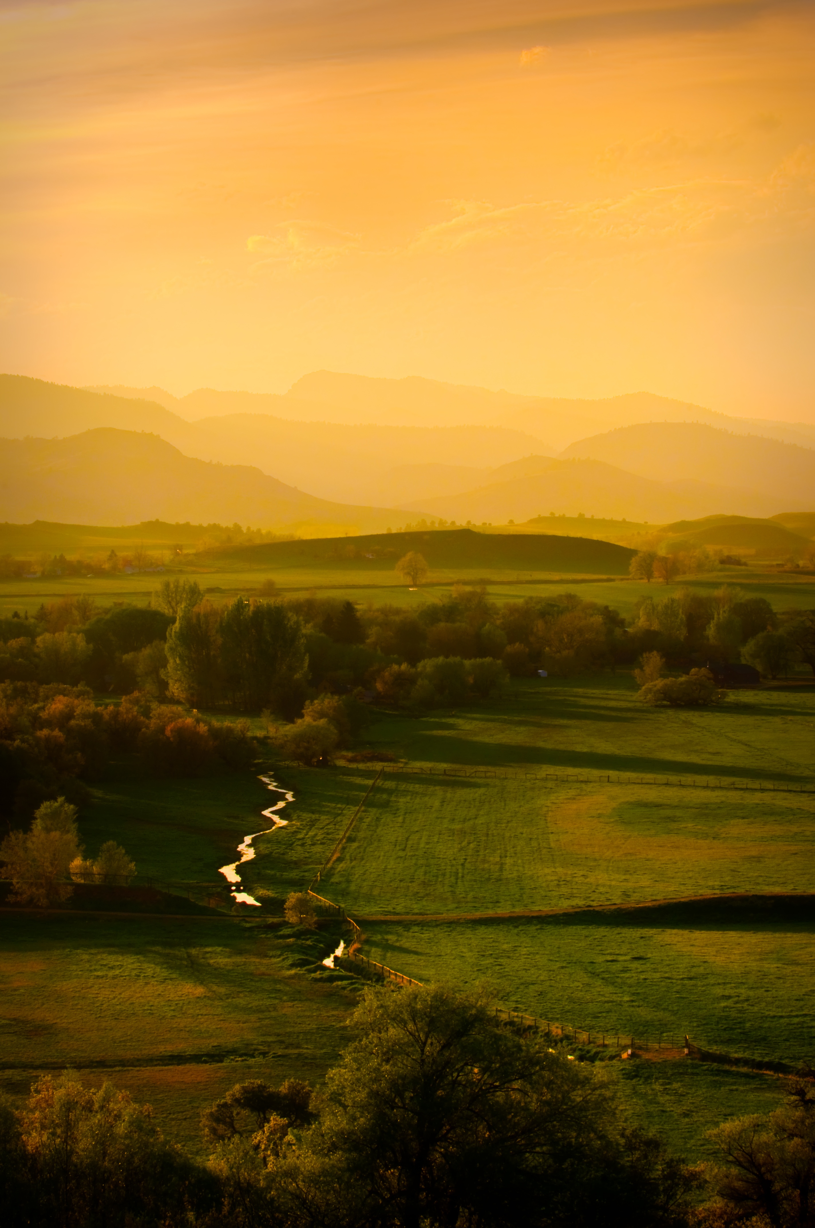
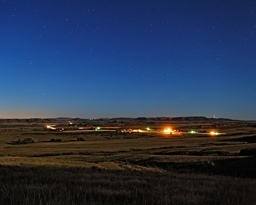
Golden Fields
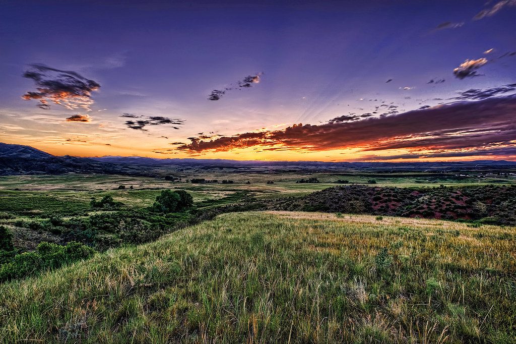
A Northern Colorado Gem: Livermore Valley

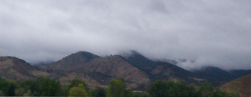
Night Hike @ Eagle's Nest Open Space

Jewels of the Glen
pan view
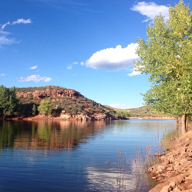
Our favorite swimming spot, #Satanka Cove, may be completely flooded, but the view from the rocks above makes up for that. (And we already found alternative swimming spot for later.)
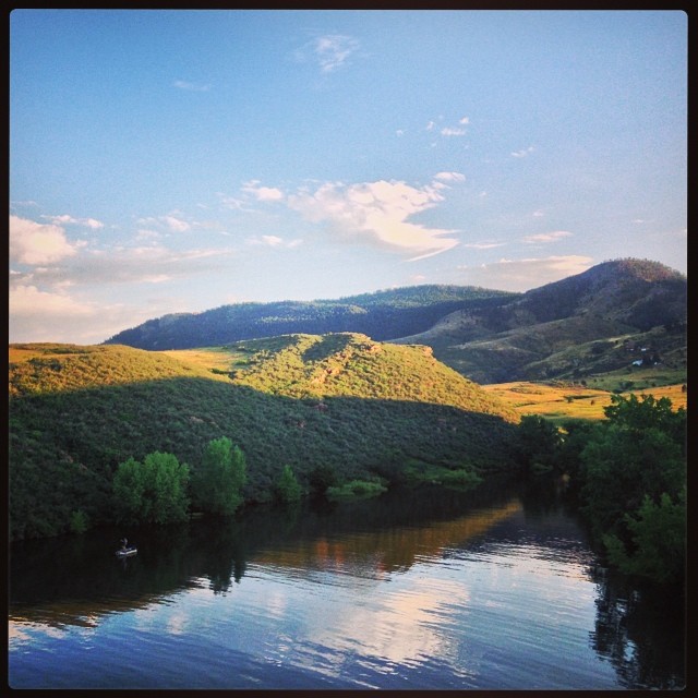
Watson Lake HDR
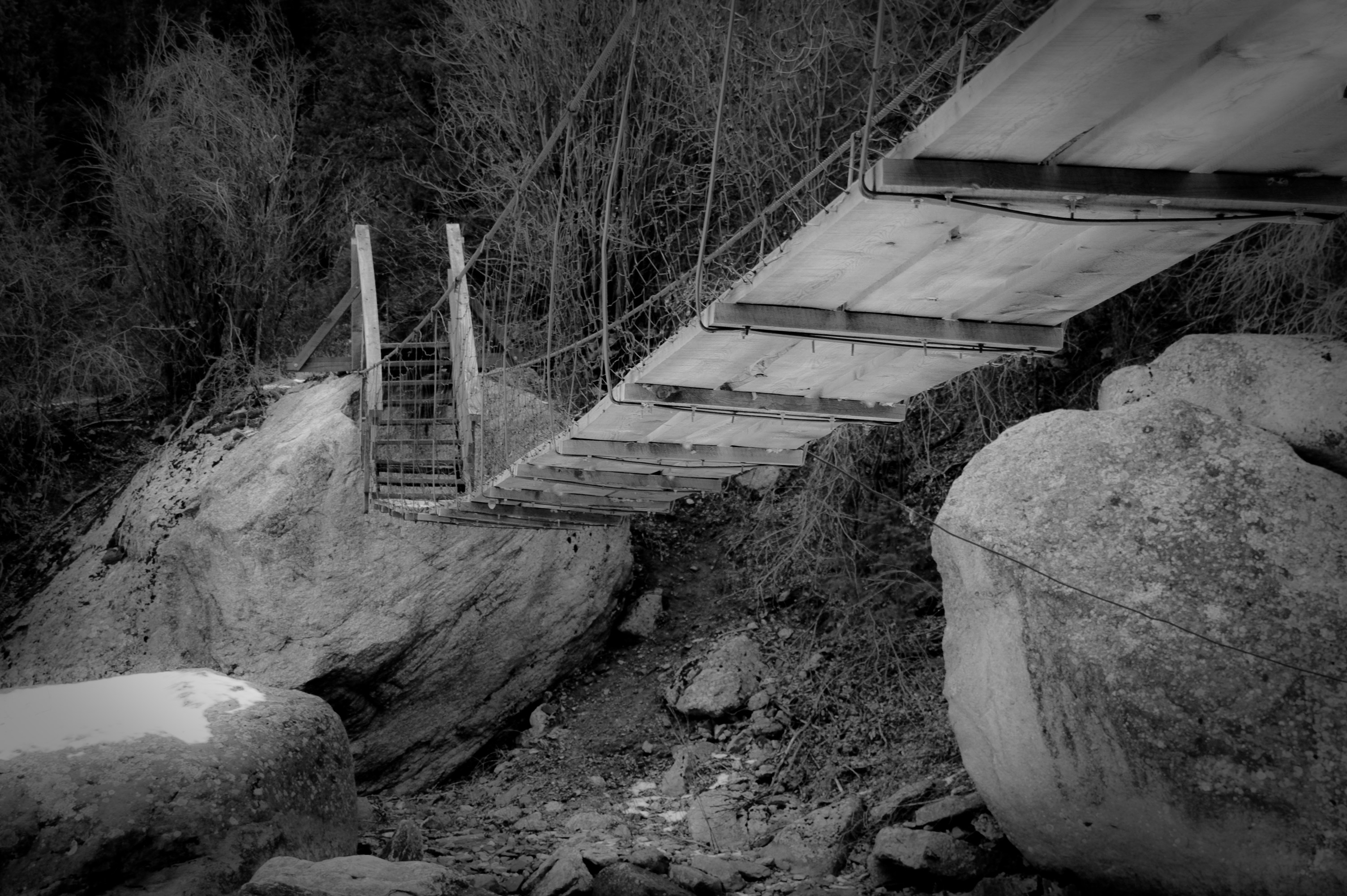
Walking Bridge
View west from Bingham Hill (left-to-right: north end of reservoir, Rist canyon, Poudre Canyon, Greyrock)
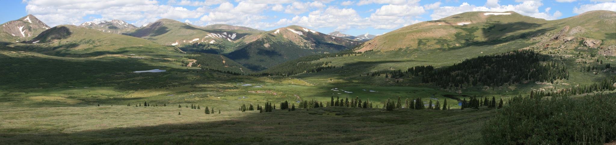
View from Mt Bierstadt
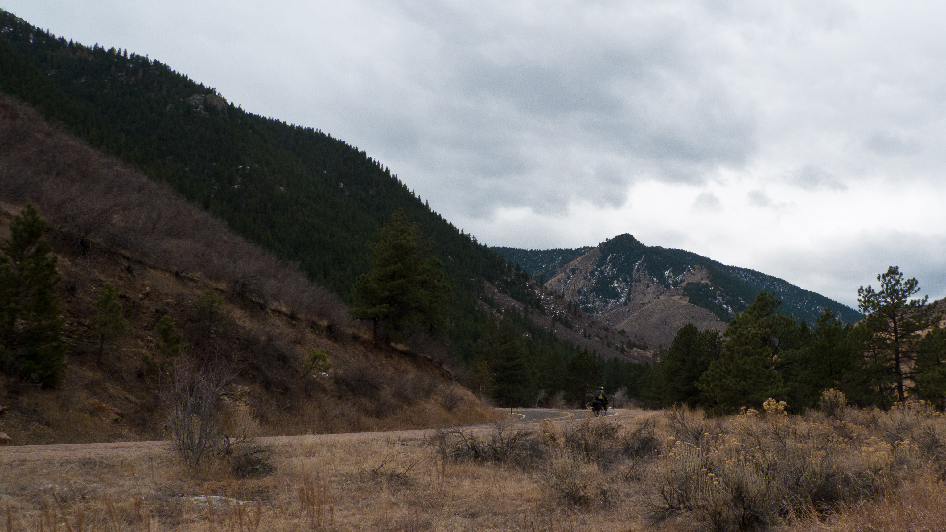
Poudre Canyon Views
Traveling or "being on the road" is my favorite place to be, but w/ view like this, it's really nice to be swimming at home again, too. #horsetooth #fortcollins #colorado
My Reward
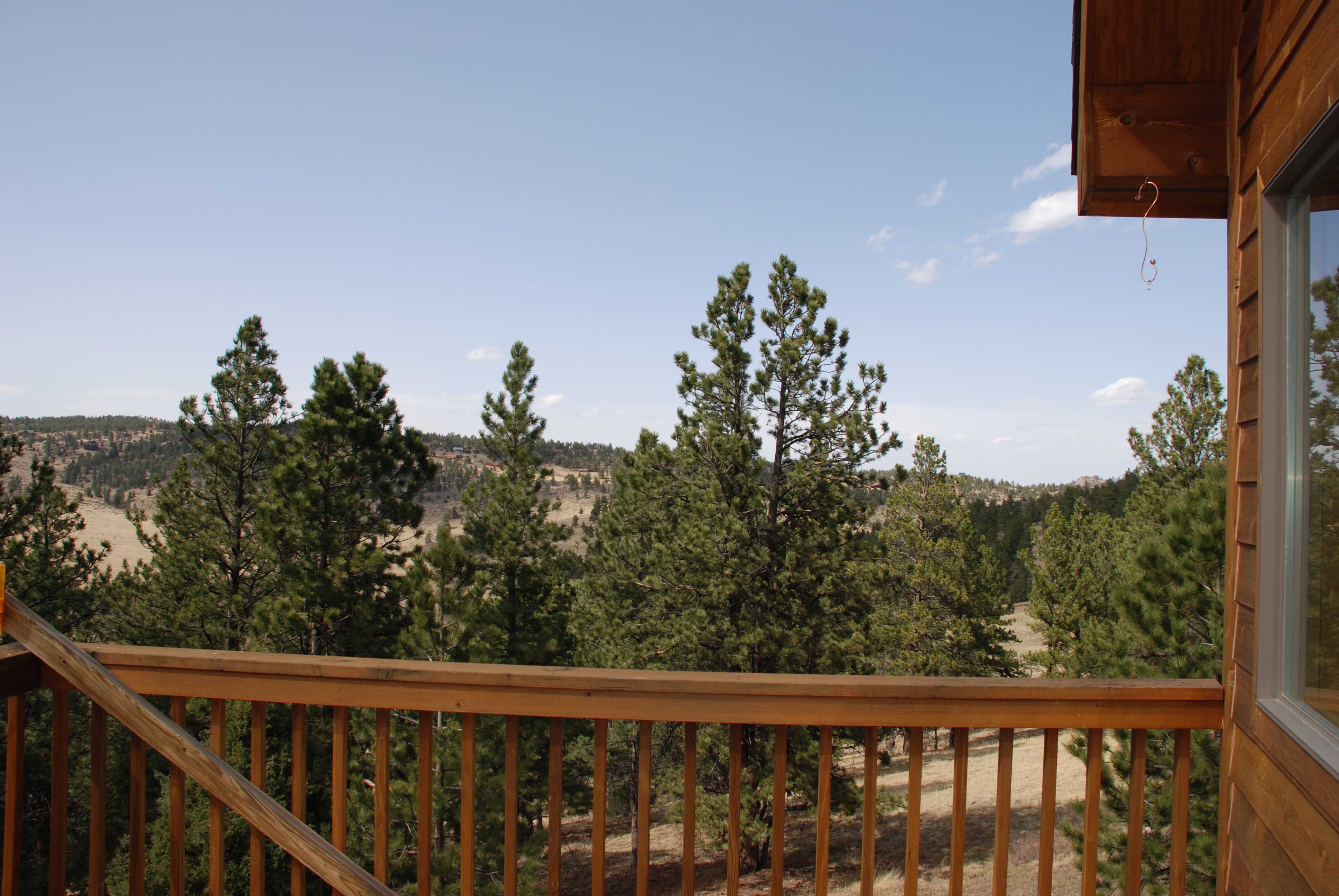
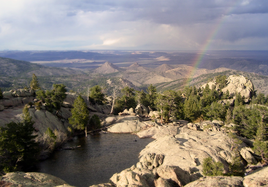
Gorgeous, unobstructed views
Pingree Park Afternoon
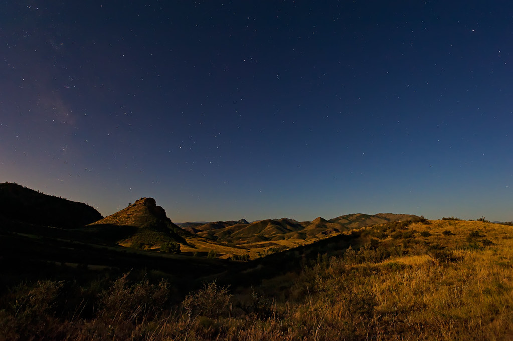
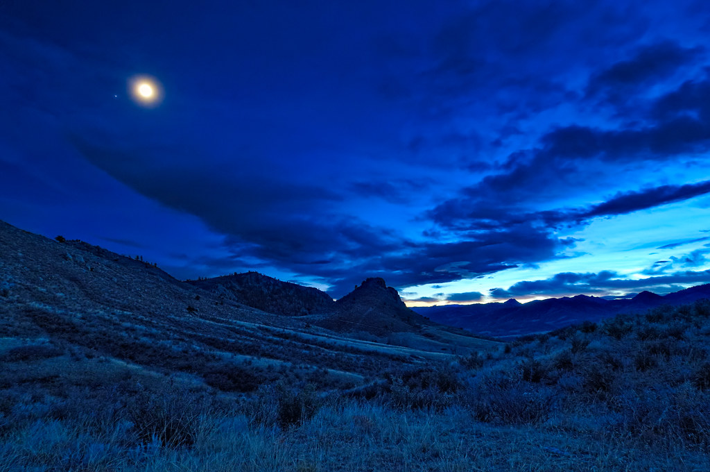
Lunar Lit Eagle's Nest
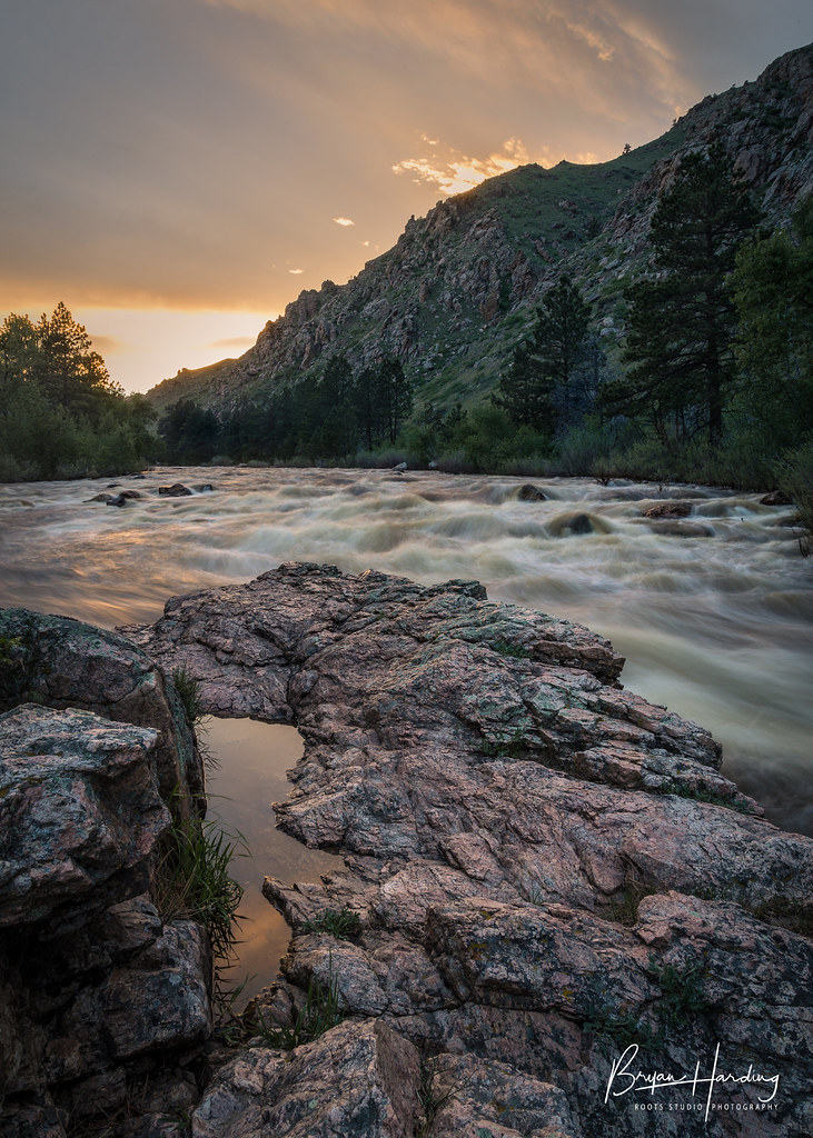
Along the Cache la Poudre - Poudre Canyon, Colorado

Lunar Dawn
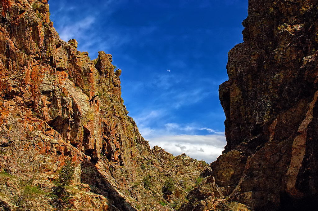
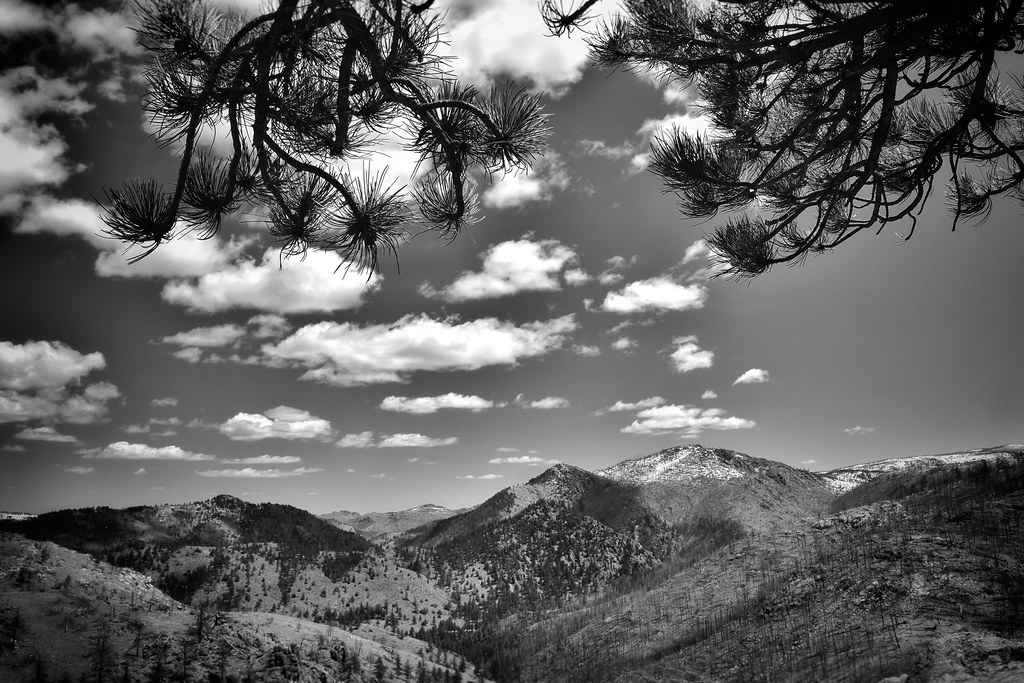
A Poudre Canyon Passage
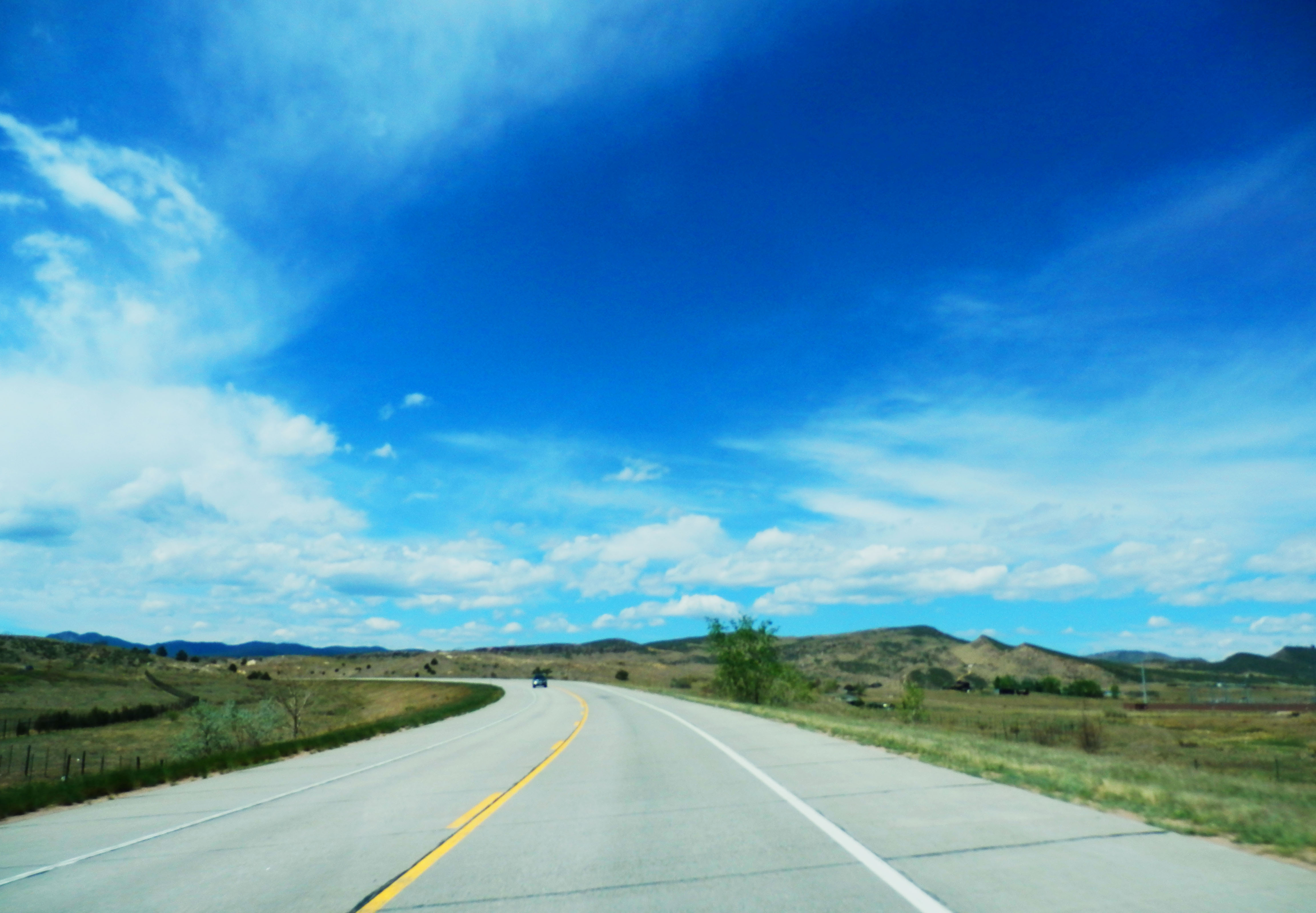
Hwy 287 Northern Colorado

Colorado Rocky Mountains
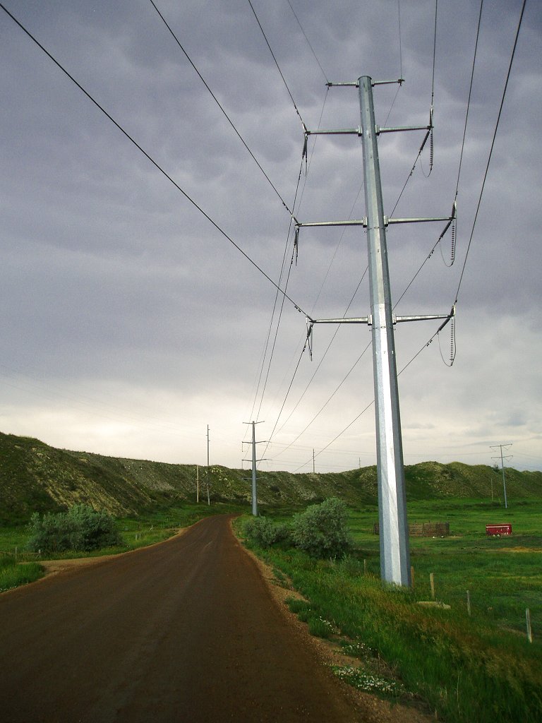
Evening Storm (Powerlines) - Fort Collins, Colorado
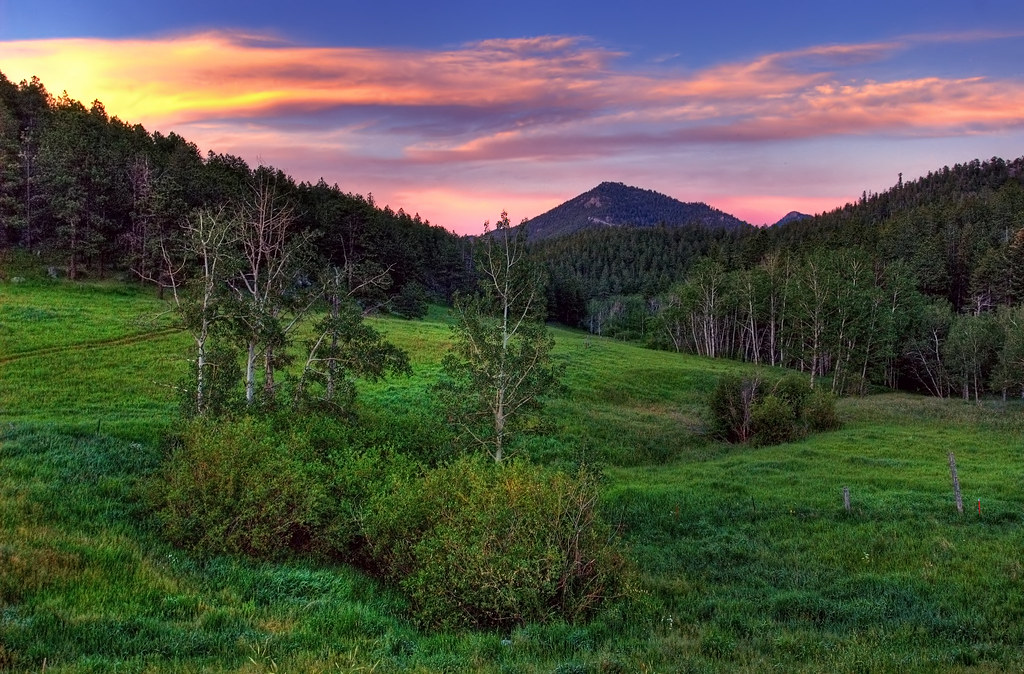
Old Flowers Road Sunset Vibrance

Poudre Canyon

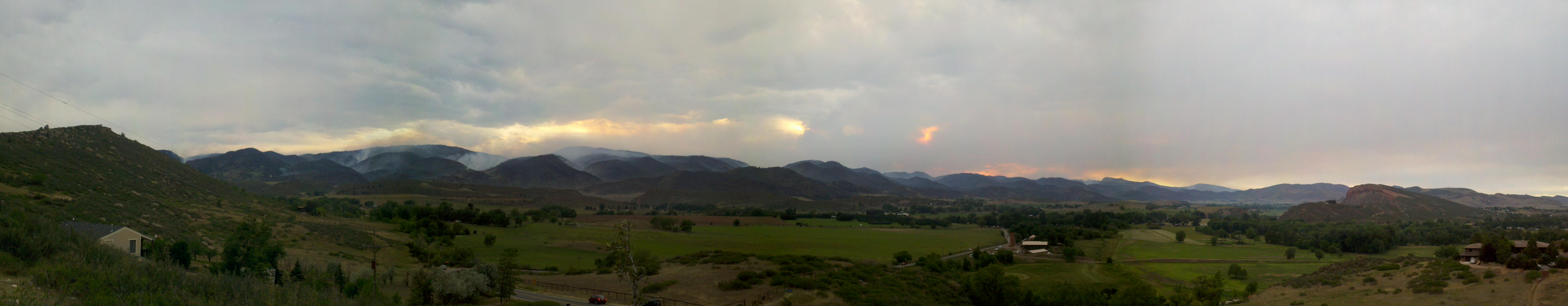
A Wind-Stoked High Park Fire Plume Rises Above Pleasant Valley
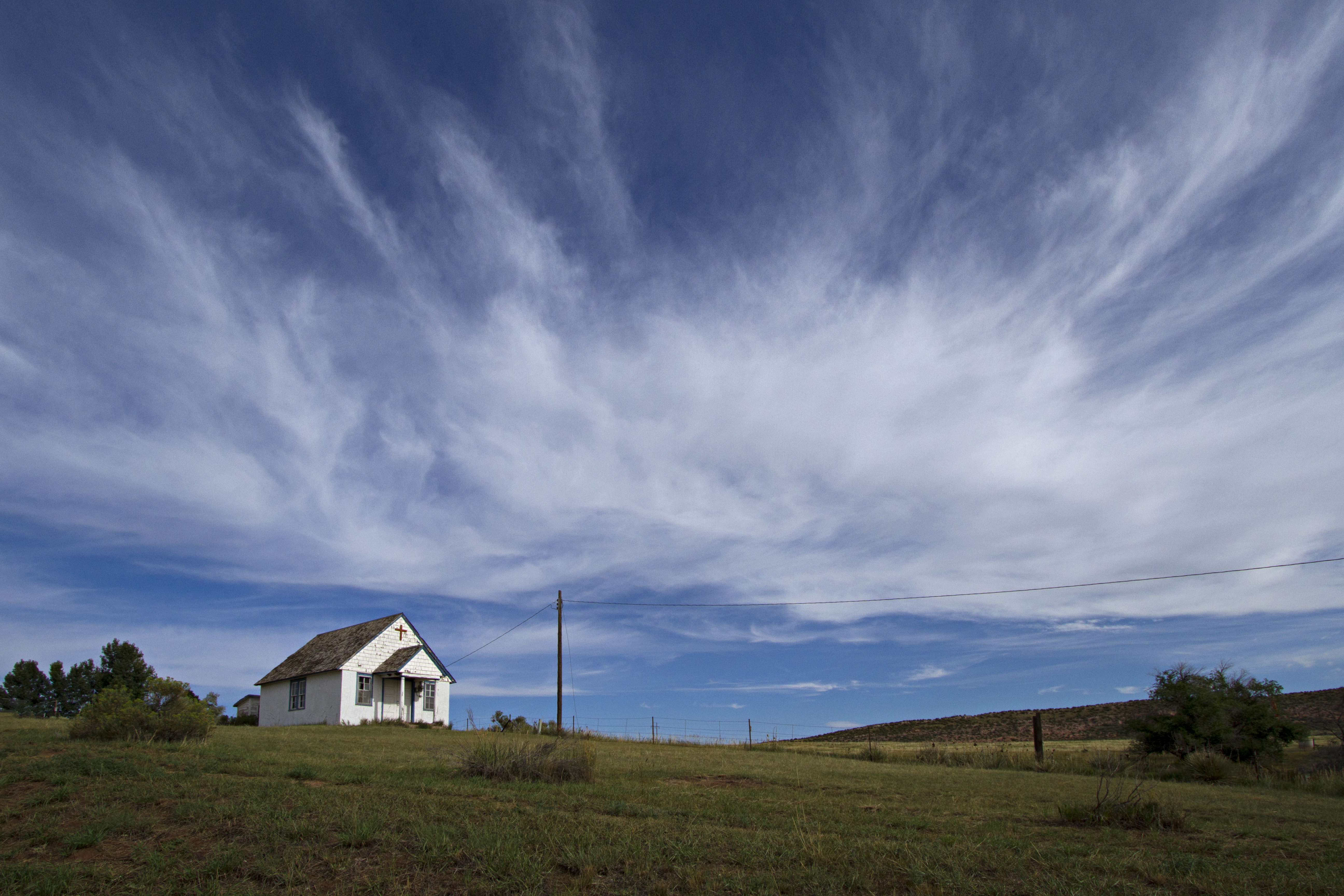
Our Father who art in heaven
Blue About Haiti
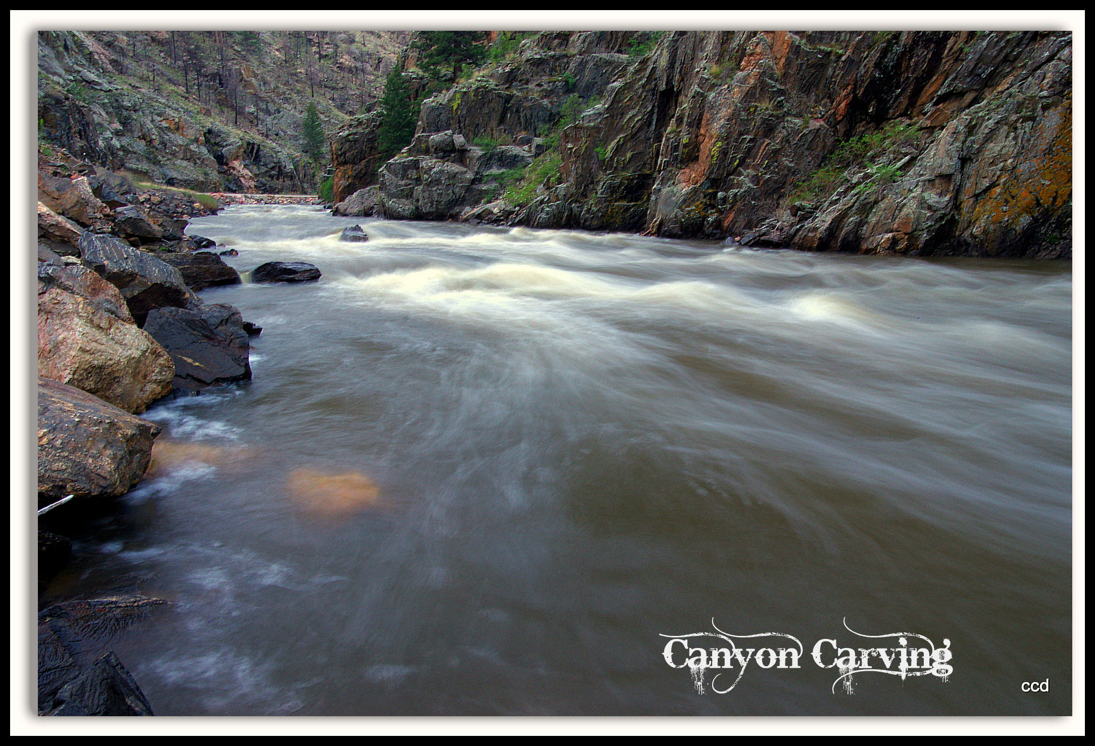
Poudre Lower Narrows
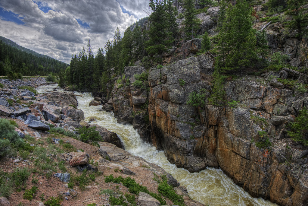
Poudre River
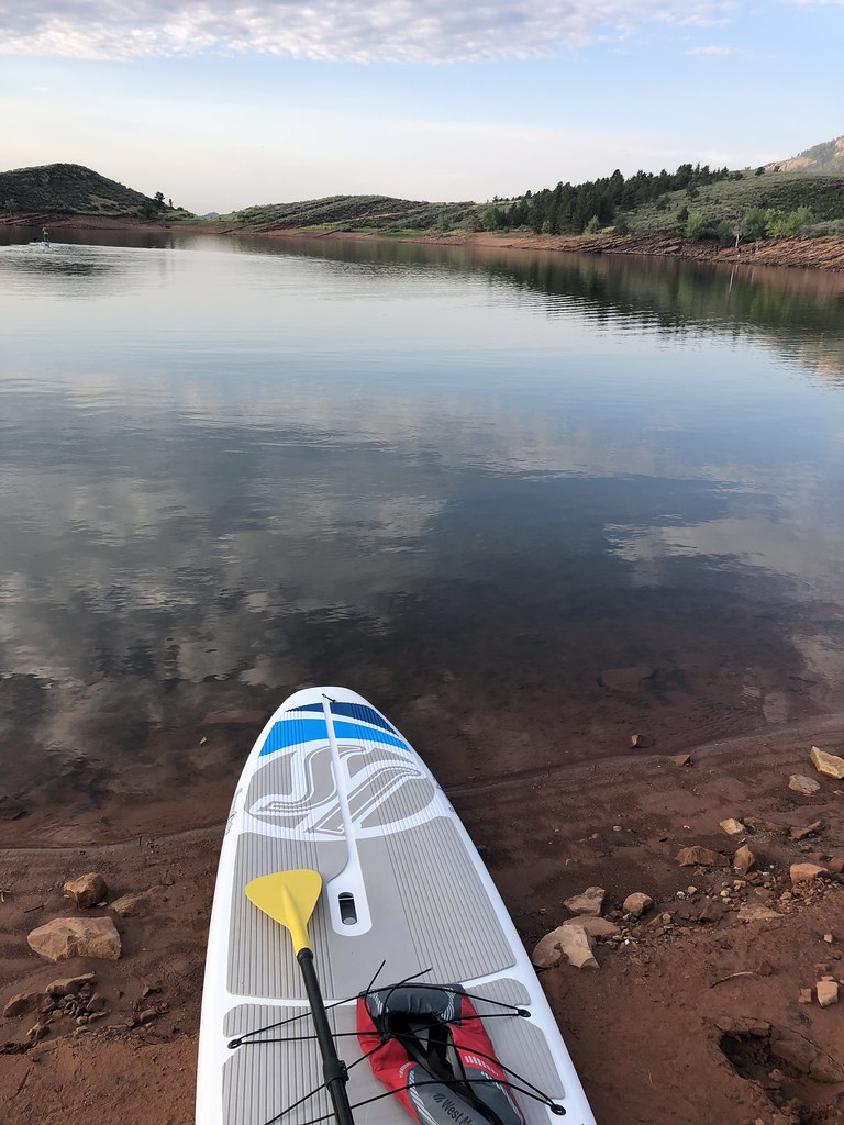
Morning solo paddle

Larimer - Boulder Hill
A Pastoral Blade Runner
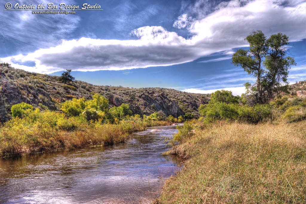
Cache la Poudre River - Eagle's Nest Open Space - Larimer County, Colorado

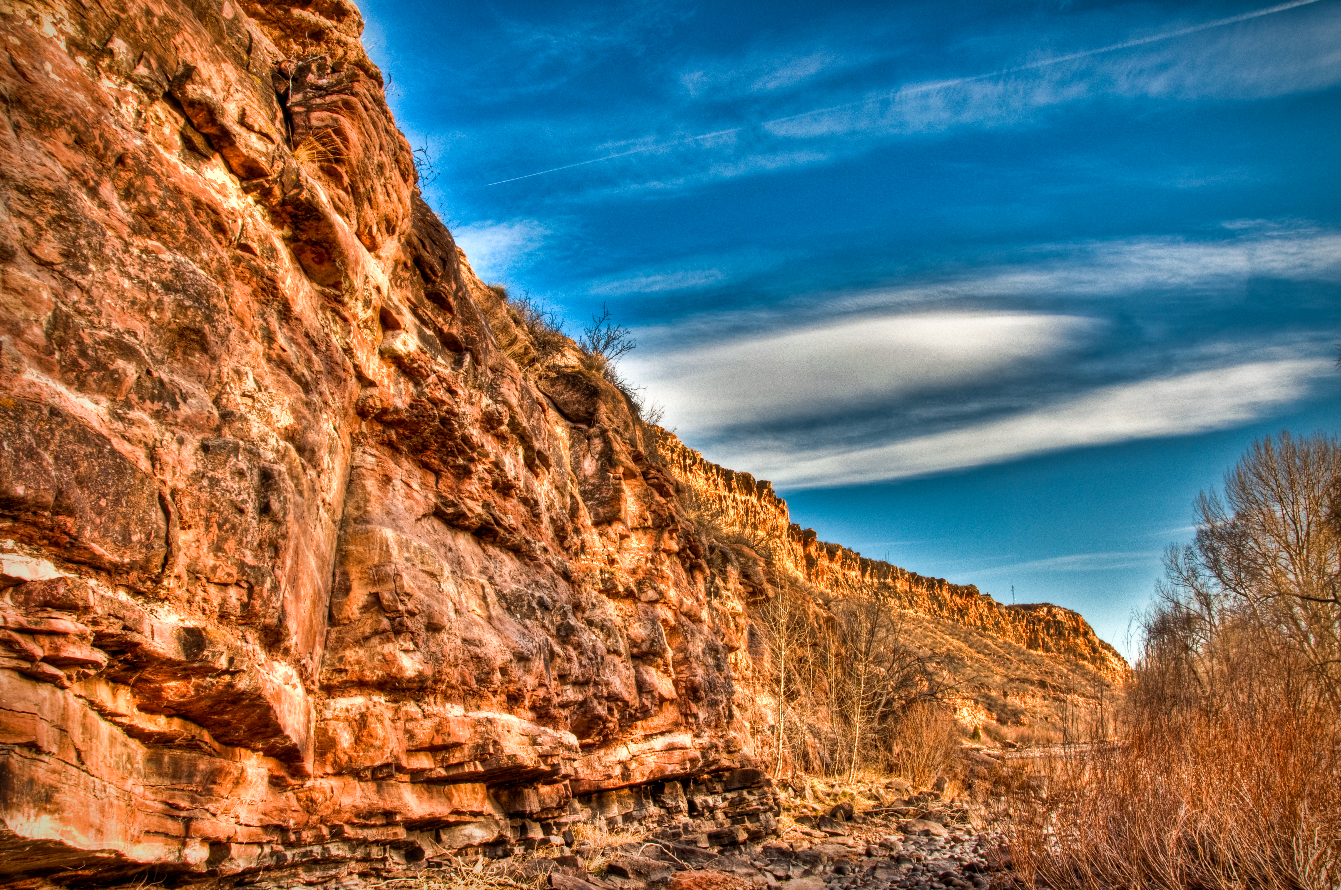
Larimer - Natural Gate
Topographic Map of Poudre Park Day Use Area, - Poudre Canyon Rd, Bellvue, CO, USA
Find elevation by address:

Places near Poudre Park Day Use Area, - Poudre Canyon Rd, Bellvue, CO, USA:
11151 Poudre Canyon Rd
150 Hewlett Gulch Trail
Hewlett Gulch Trailhead
Poudre Park
10244 Poudre Canyon Rd
10244 Poudre Canyon Rd
10244 Poudre Canyon Rd
Poudre Christian Fellowship
53 Poudre River Rd
37 Poudre River Rd, Bellvue, CO, USA
Ansel Watrous Campground
9073 Poudre Canyon Rd
120 Woodlot Ln
662 Woodlot Ln
700 Woodlot Ln
1854 Star View Dr
The Mishawaka
13714 Poudre Canyon Rd
Mishawaka
1015 Happy Jack Rd
Recent Searches:
- Elevation of 3 Nestling Wood Dr, Long Valley, NJ, USA
- Elevation of Ilungu, Tanzania
- Elevation of Yellow Springs Road, Yellow Springs Rd, Chester Springs, PA, USA
- Elevation of Rēzekne Municipality, Latvia
- Elevation of Plikpūrmaļi, Vērēmi Parish, Rēzekne Municipality, LV-, Latvia
- Elevation of 2 Henschke Ct, Caboolture QLD, Australia
- Elevation of Redondo Ave, Long Beach, CA, USA
- Elevation of Sadovaya Ulitsa, 20, Rezh, Sverdlovskaya oblast', Russia
- Elevation of Ulitsa Kalinina, 79, Rezh, Sverdlovskaya oblast', Russia
- Elevation of 72-31 Metropolitan Ave, Middle Village, NY, USA