Elevation of Garfield, GA, USA
Location: United States > Georgia > Jenkins County >
Longitude: -82.098175
Latitude: 32.649885
Elevation: 84m / 276feet
Barometric Pressure: 100KPa
Elevation Map:
Satellite Map:
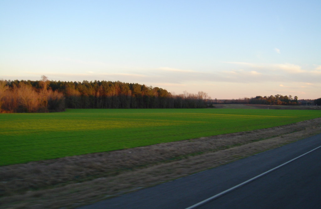
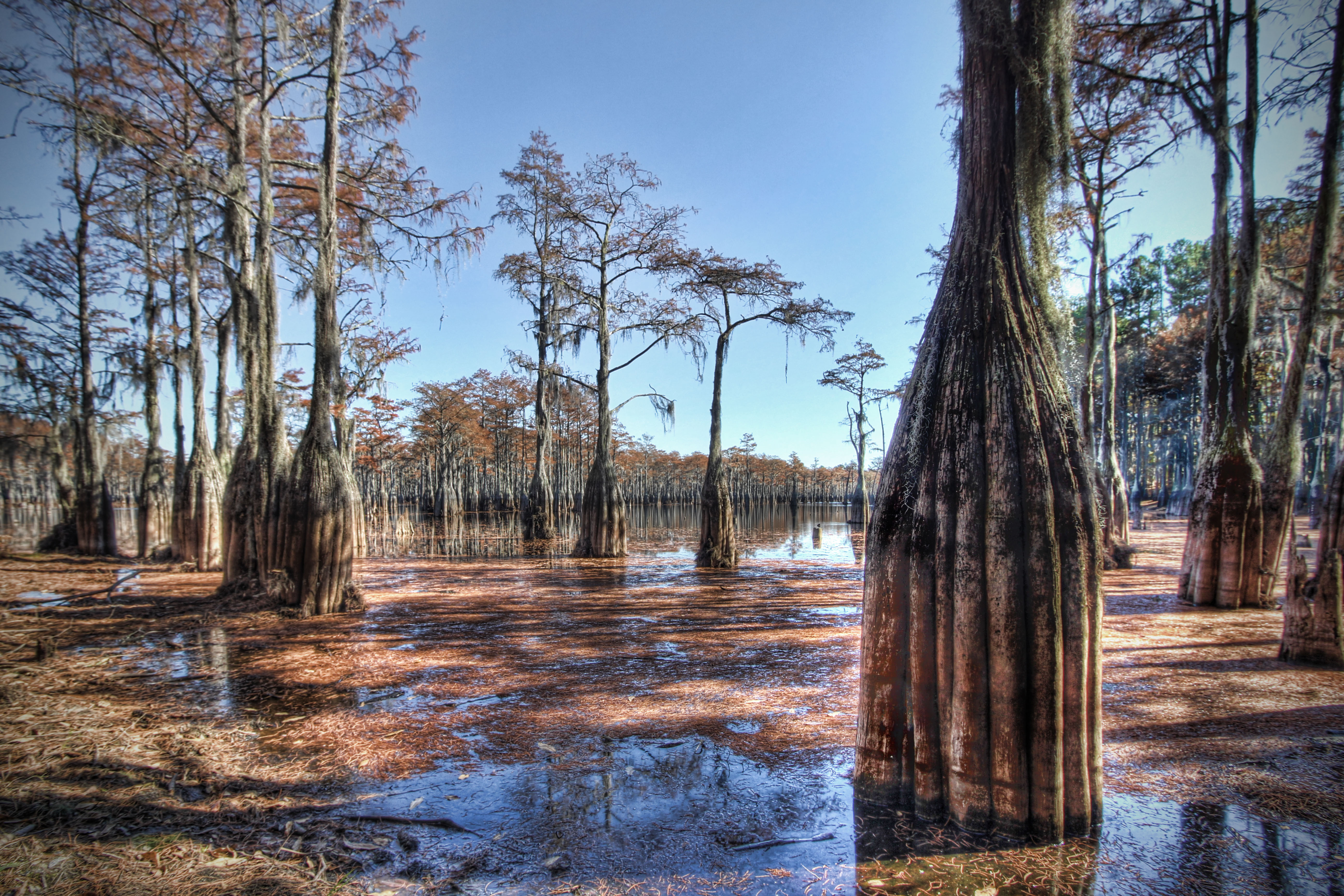
Related Photos:

You'll have to wait. The dance floor is full.

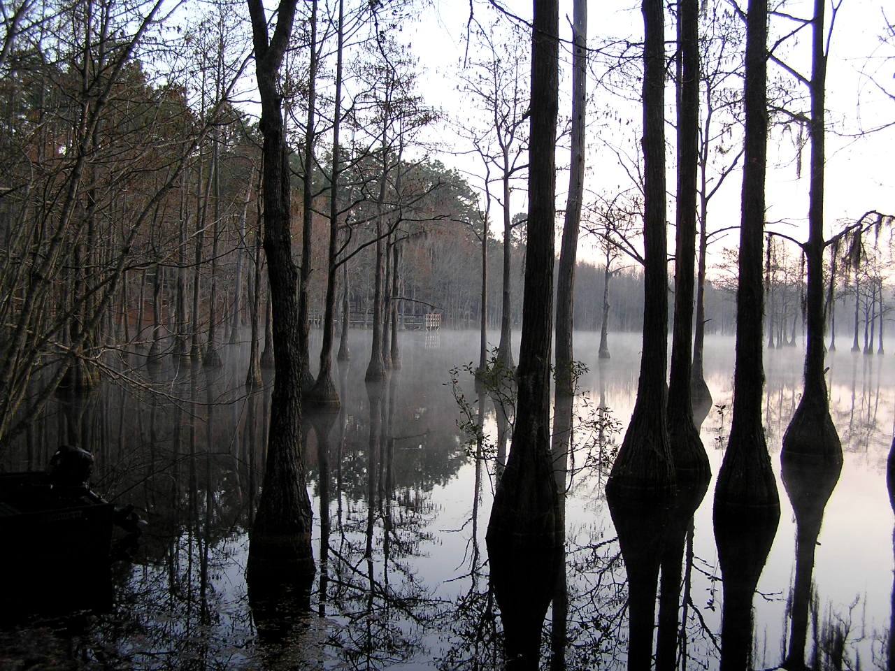
Watson Pond, Explore #420 on November 16, 2014

Watson Pond: Explore #378 on November 16, 2014
Field of dreams
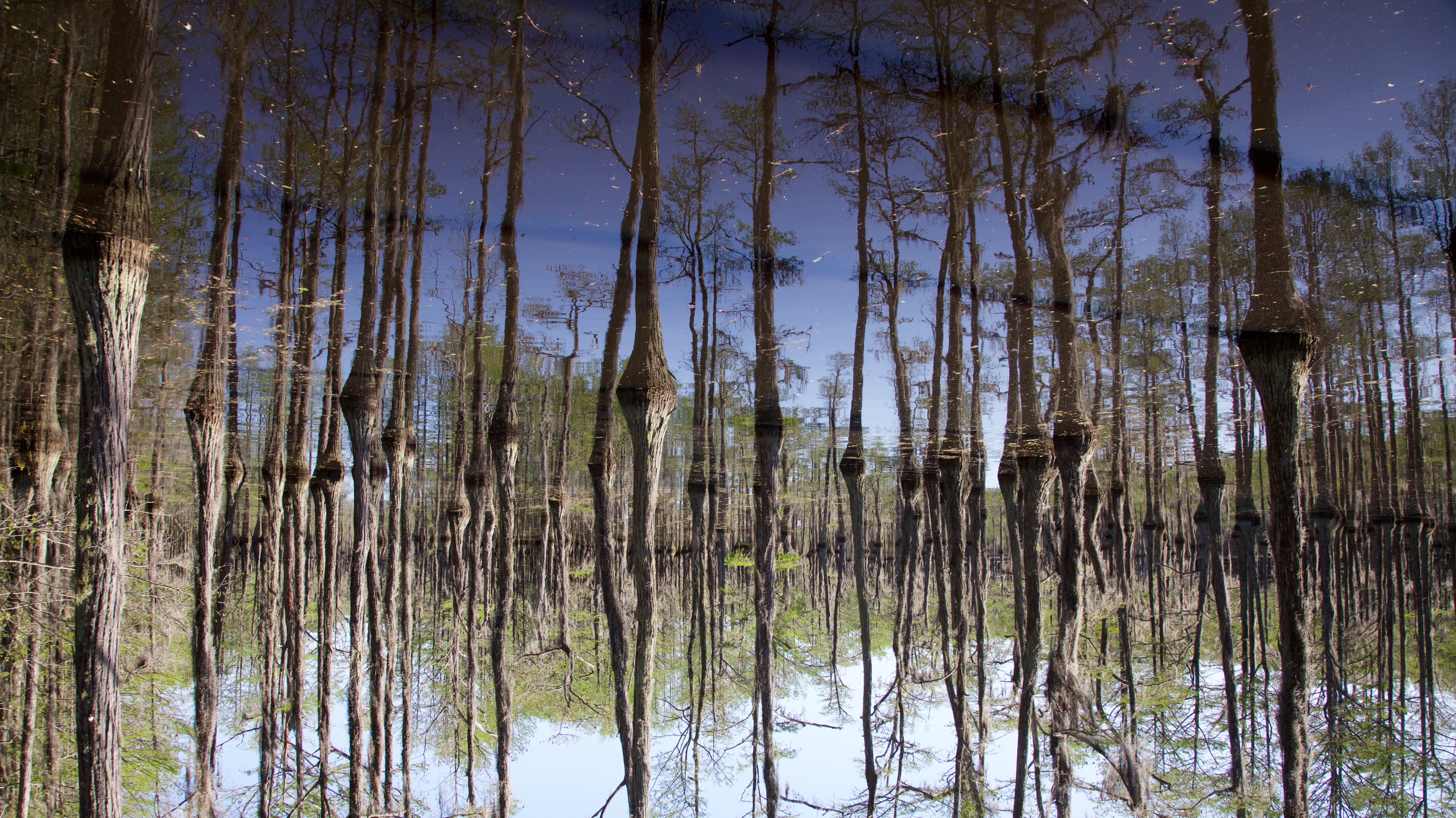
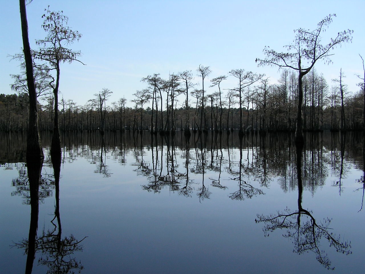
Cypress Trees

Pond Cypress with pink sky

George L Smith18

George L Smith28
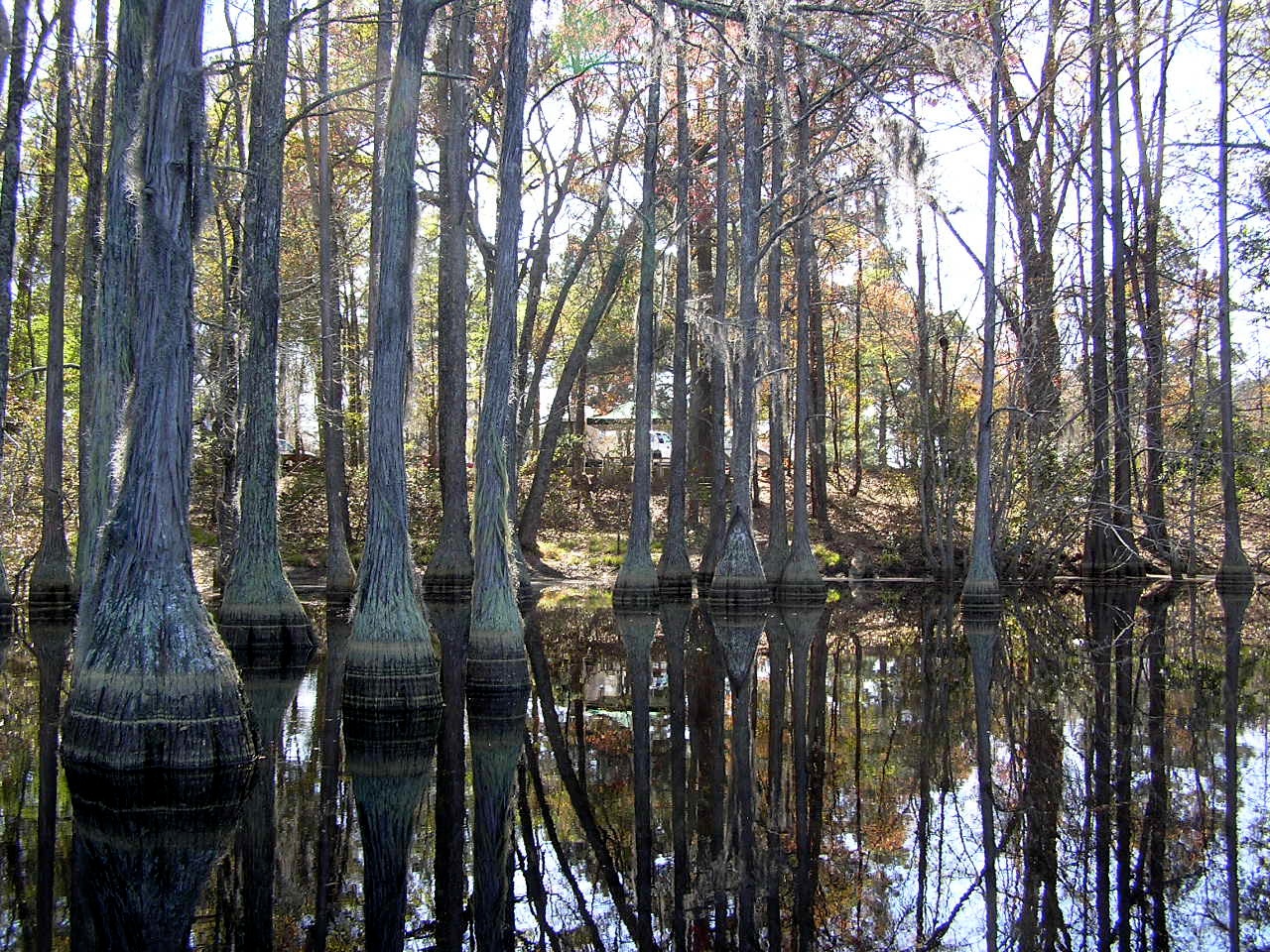
Cypress here to there
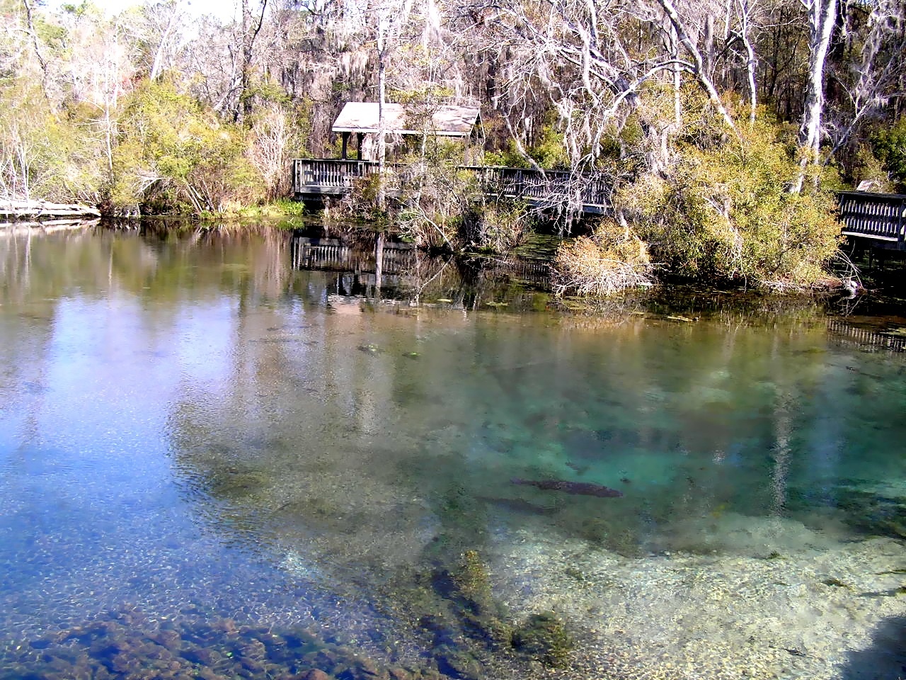
Magnolia Springs State Park
George L Smith29

George L Smith26
George L Smith16

Emanuel County
George L Smith24

George L Smith21
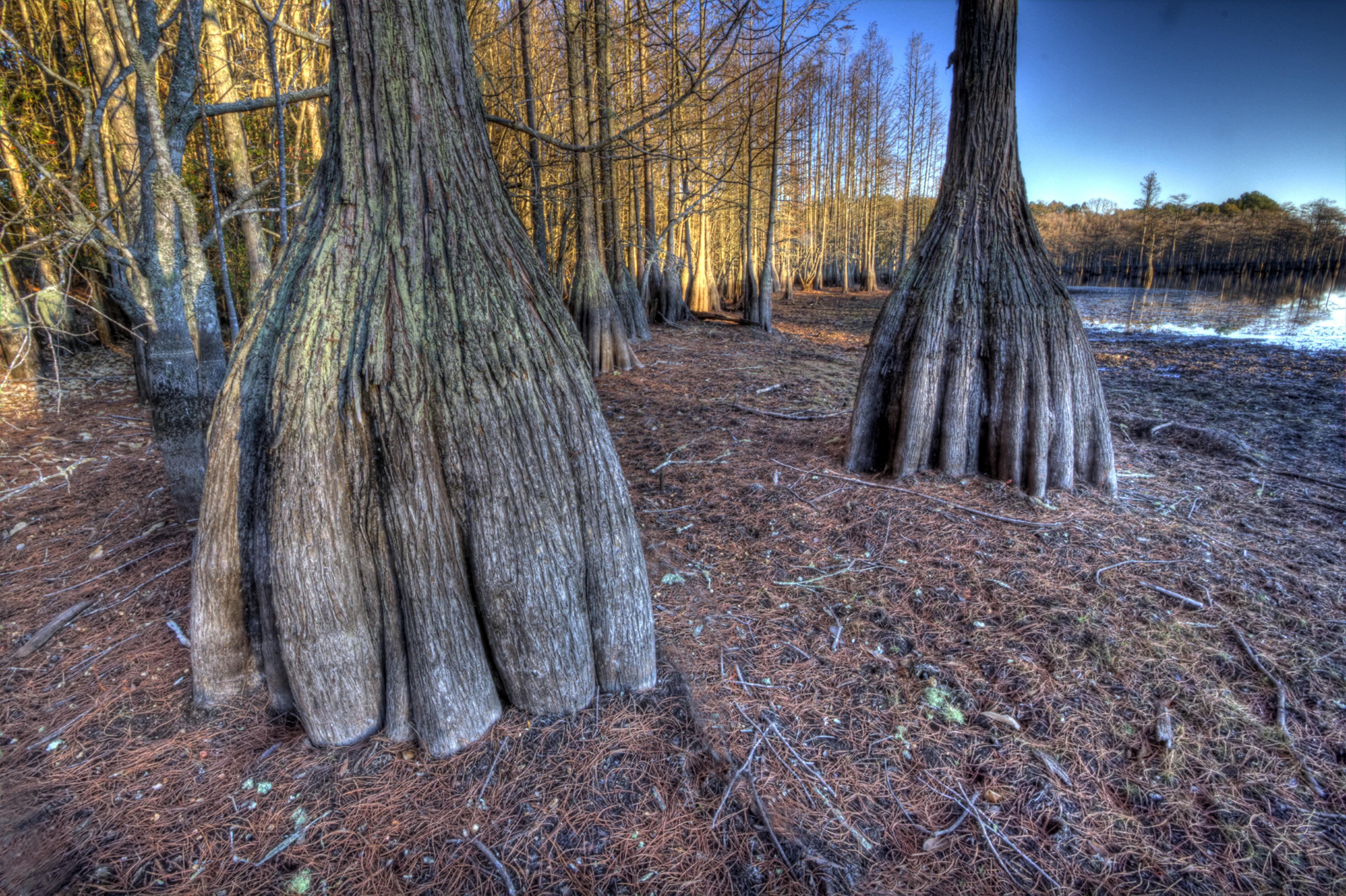
Cypress trunks exposed.
George L Smith20

Water-filled

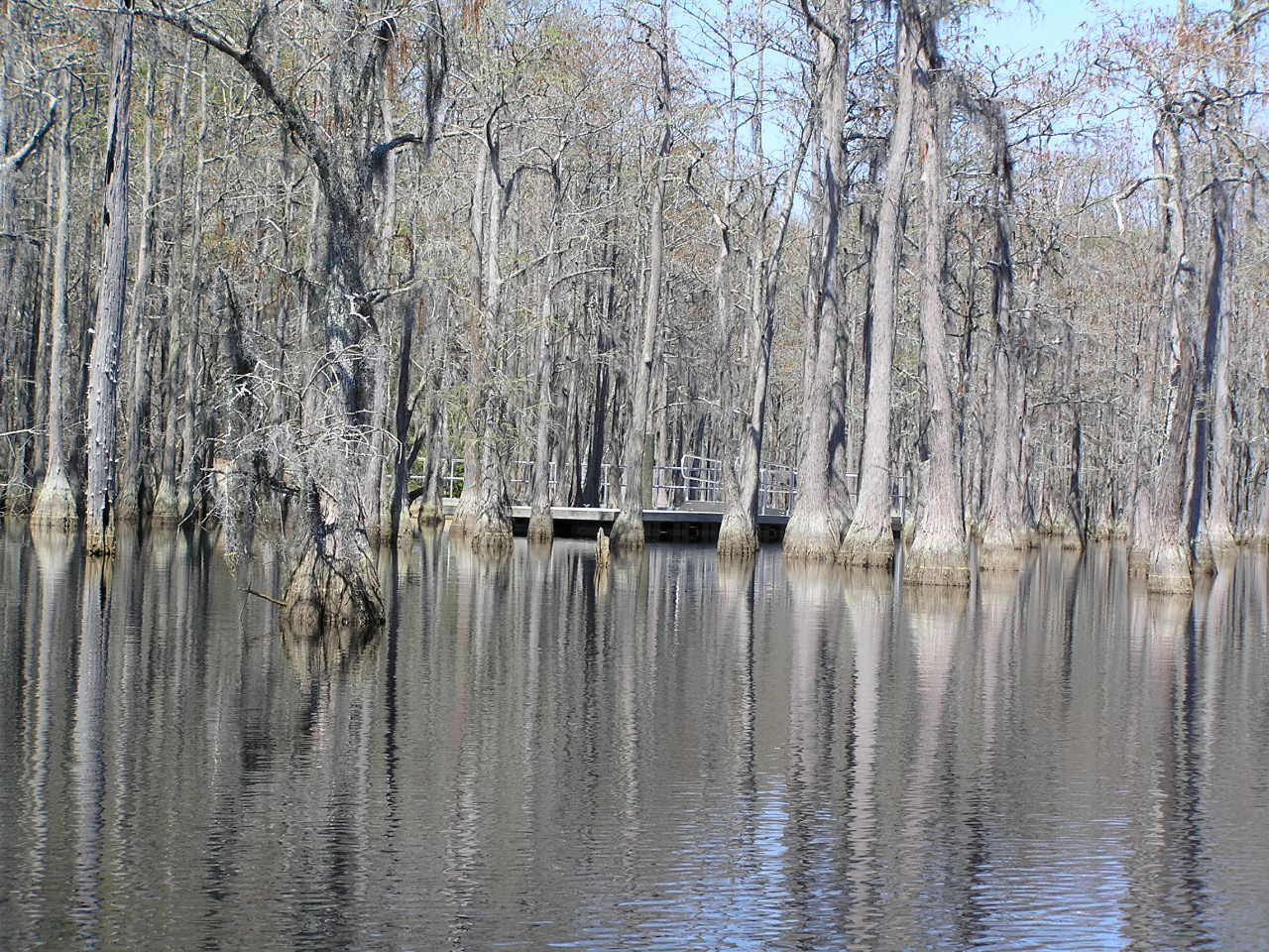
George L. Smith State Park

George L. Smith State Park
Topographic Map of Garfield, GA, USA
Find elevation by address:

Places near Garfield, GA, USA:
4864 Lane Rd
Thrift Rd, Millen, GA, USA
Canoochee
Canoochee Garfield Rd, Twin City, GA, USA
Twin City
George L. Smith State Park
Lans Ln, Millen, GA, USA
Ga-192 & Lawrence Sherrod Rd
Ga-192 & Lawrence Sherrod Rd
Ga-192 & Lawrence Sherrod Rd
Aaron Station Rd, Portal, GA, USA
Sid Lanier Road
Sid Lanier Road
W Old Savannah Rd, Millen, GA, USA
Rosemary Church Rd, Metter, GA, USA
Jenkins County
80 Oglesby Pond Rd, Portal, GA, USA
S Herndon Rd, Millen, GA, USA
804 Foxboro Ln
857 Foxboro Ln
Recent Searches:
- Elevation of Slanický ostrov, 01 Námestovo, Slovakia
- Elevation of Spaceport America, Co Rd A, Truth or Consequences, NM, USA
- Elevation of Warwick, RI, USA
- Elevation of Fern Rd, Whitmore, CA, USA
- Elevation of 62 Abbey St, Marshfield, MA, USA
- Elevation of Fernwood, Bradenton, FL, USA
- Elevation of Felindre, Swansea SA5 7LU, UK
- Elevation of Leyte Industrial Development Estate, Isabel, Leyte, Philippines
- Elevation of W Granada St, Tampa, FL, USA
- Elevation of Pykes Down, Ivybridge PL21 0BY, UK