Elevation of S Herndon Rd, Millen, GA, USA
Location: United States > Georgia > Jenkins County > Millen >
Longitude: -82.130017
Latitude: 32.8188695
Elevation: 52m / 171feet
Barometric Pressure: 101KPa
Elevation Map:
Satellite Map:
Related Photos:
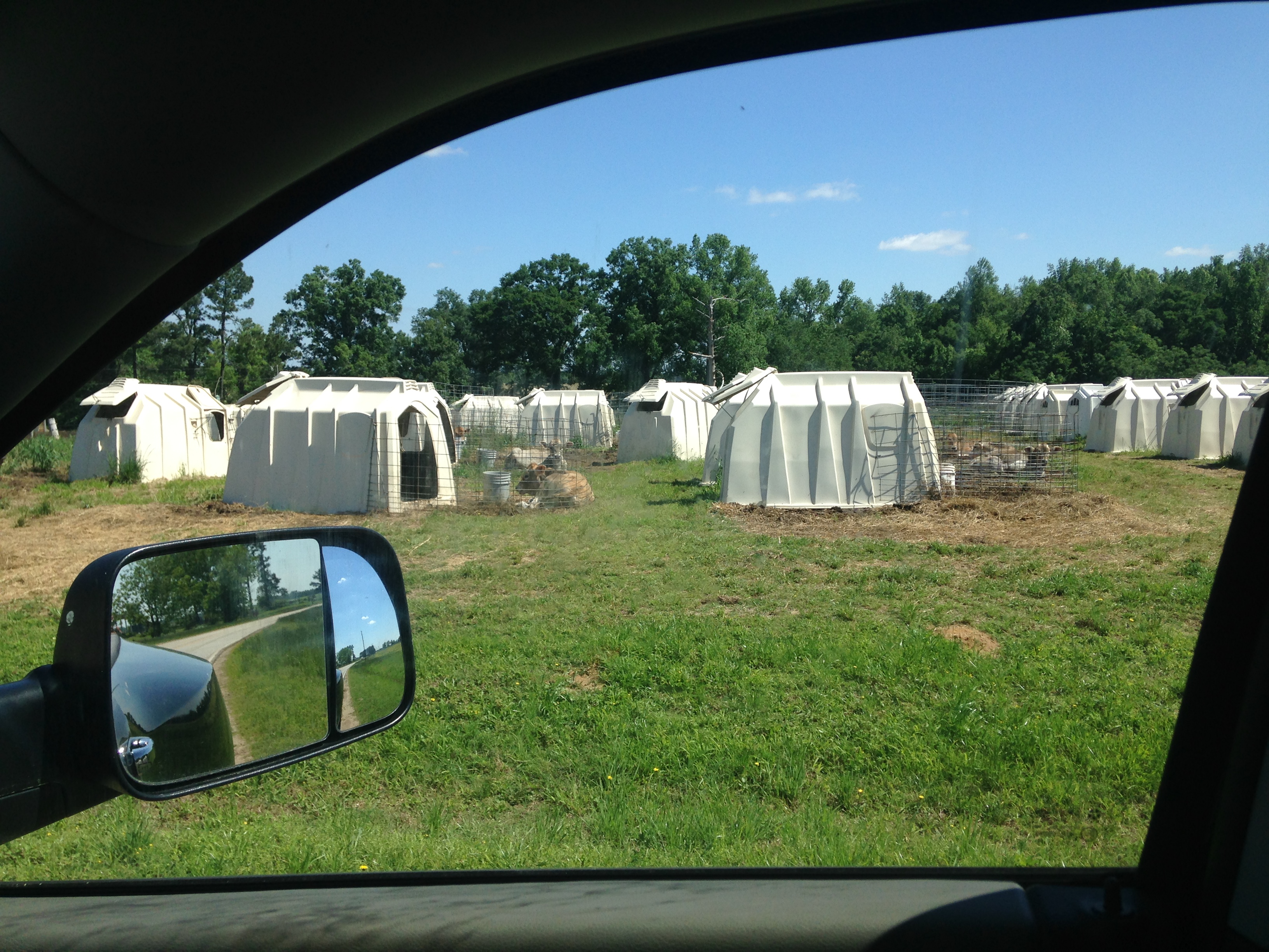
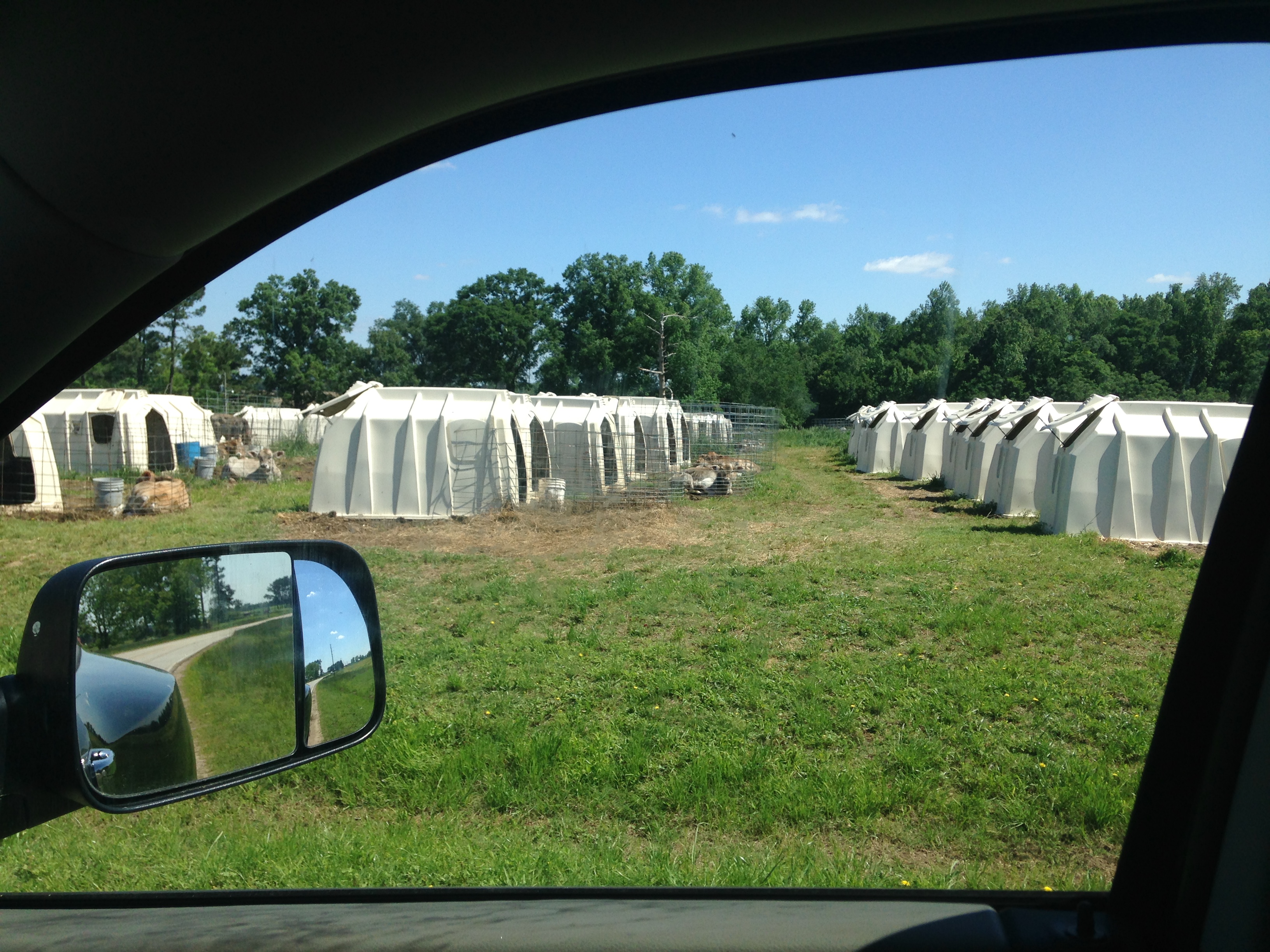
IMG_0881

Ogeechee River at Millen, Georgia
New photo added to "All Photos"
New photo added to "All Photos"
New photo added to "All Photos"
New photo added to "All Photos"

New photo added to "All Photos"
New photo added to "All Photos"

New photo added to "All Photos"

New photo added to "All Photos"

Jeremy Harkins

Tundra Swan 12/07/14

Tundra Goose 12/07/14 Magruder Rd. Burke Co, GA
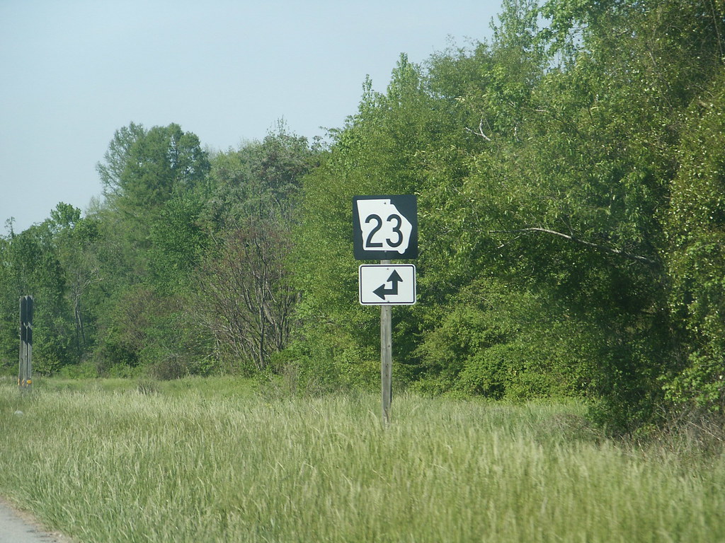
GA 23
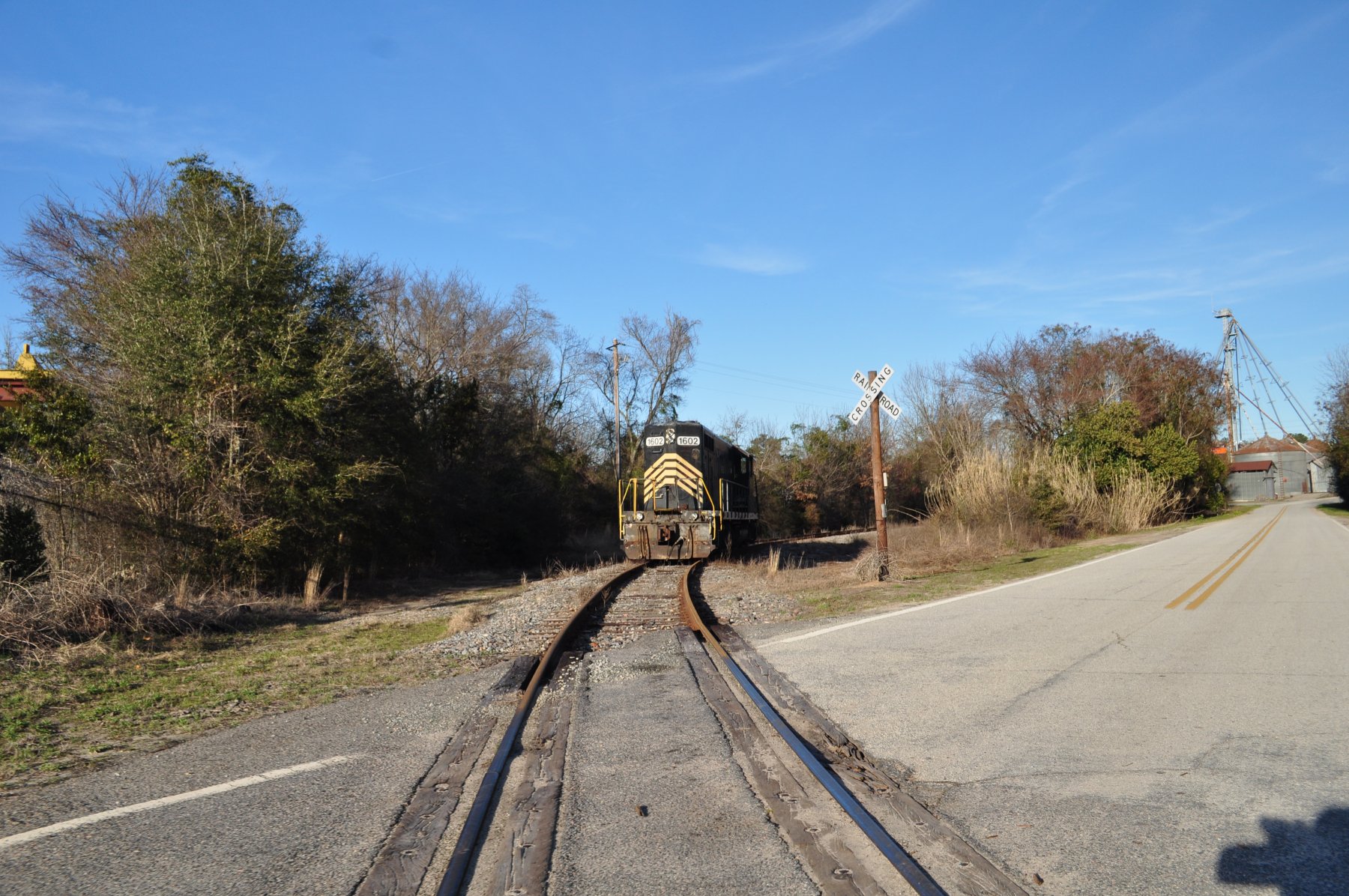
Midville, Ga
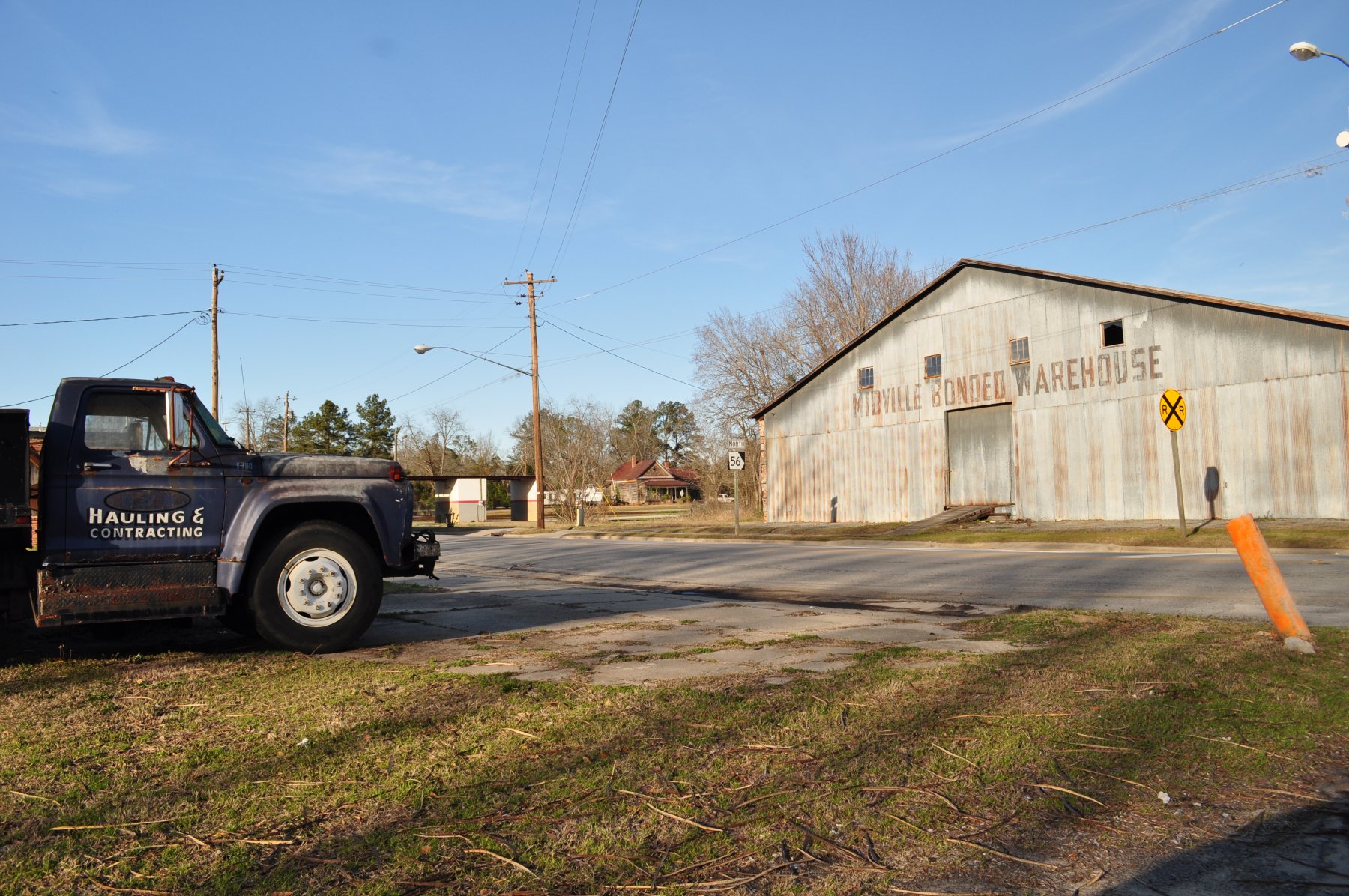
Midville, Ga
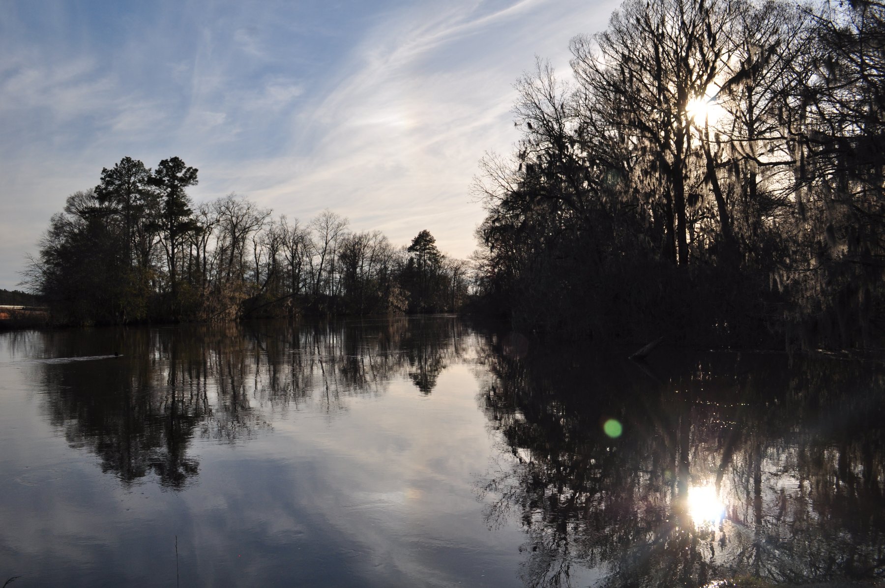
Ogeechee River at Midville
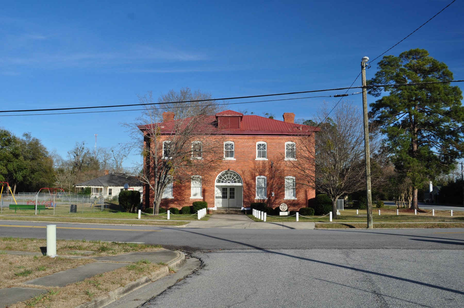
Midville, Ga
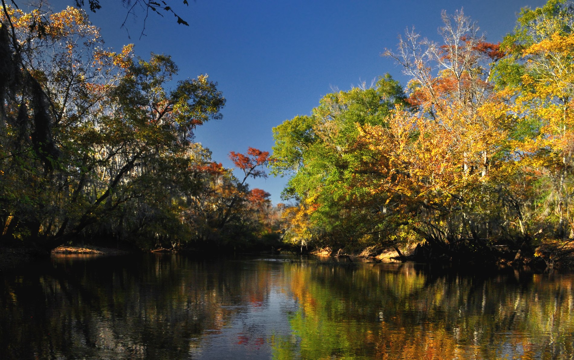
Ogeechee River at Midville, Georgia
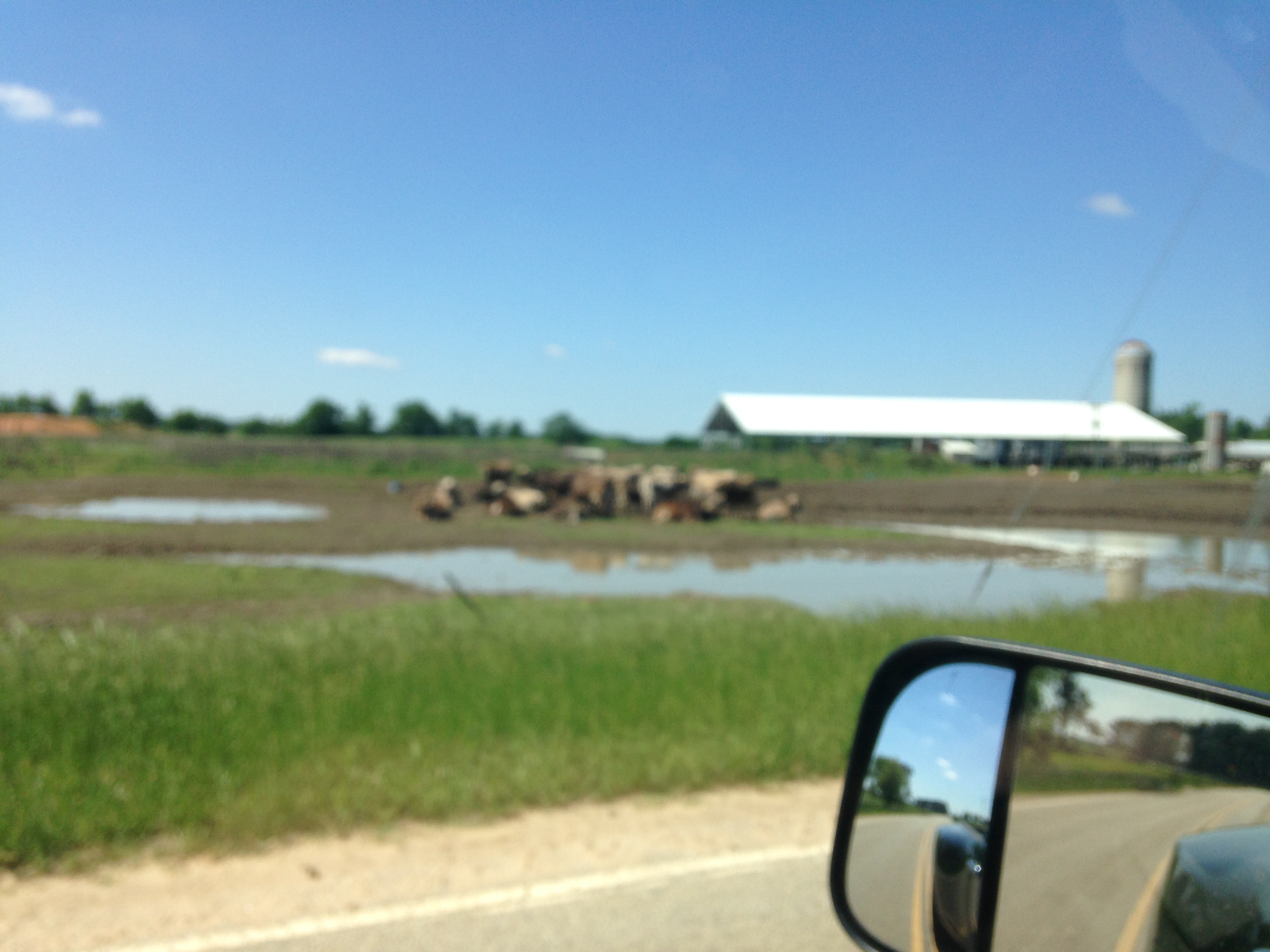
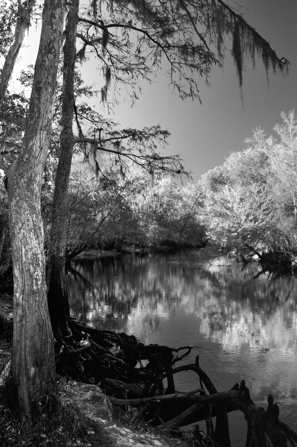
Ogeechee River at Millen, Georgia

Midville Night
0903 Cypress Inn Img_4955
Topographic Map of S Herndon Rd, Millen, GA, USA
Find elevation by address:

Places near S Herndon Rd, Millen, GA, USA:
GA-56, Midville, GA, USA
Midville
Covena Rd, Midville, GA, USA
318 Ga-17
Ga-192 & Lawrence Sherrod Rd
Ga-192 & Lawrence Sherrod Rd
Ga-192 & Lawrence Sherrod Rd
4864 Lane Rd
Jenkins County
Thrift Rd, Millen, GA, USA
W Old Savannah Rd, Millen, GA, USA
GA-, Midville, GA, USA
Canoochee
Canoochee Garfield Rd, Twin City, GA, USA
72 Summertown Main St, Summertown, GA, USA
Summertown
Garfield
Millen
1053 Magnolia Springs Rd
1053 Magnolia Springs Rd
Recent Searches:
- Elevation of 30 Oak Lawn Dr, Barkhamsted, CT, USA
- Elevation of Luther Road, Luther Rd, Auburn, CA, USA
- Elevation of Unnamed Road, Respublika Severnaya Osetiya — Alaniya, Russia
- Elevation of Verkhny Fiagdon, North Ossetia–Alania Republic, Russia
- Elevation of F. Viola Hiway, San Rafael, Bulacan, Philippines
- Elevation of Herbage Dr, Gulfport, MS, USA
- Elevation of Lilac Cir, Haldimand, ON N3W 2G9, Canada
- Elevation of Harrod Branch Road, Harrod Branch Rd, Kentucky, USA
- Elevation of Wyndham Grand Barbados Sam Lords Castle All Inclusive Resort, End of Belair Road, Long Bay, Bridgetown Barbados
- Elevation of Iga Trl, Maggie Valley, NC, USA