Elevation of Canoochee, GA, USA
Location: United States > Georgia > Emanuel County >
Longitude: -82.177775
Latitude: 32.6731965
Elevation: 113m / 371feet
Barometric Pressure: 100KPa
Elevation Map:
Satellite Map:
Related Photos:
You'll have to wait. The dance floor is full.

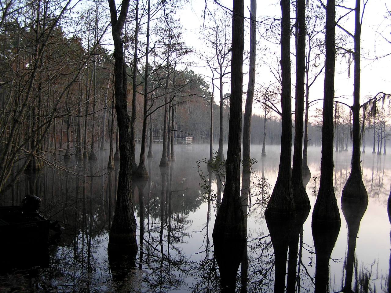
Watson Pond, Explore #420 on November 16, 2014
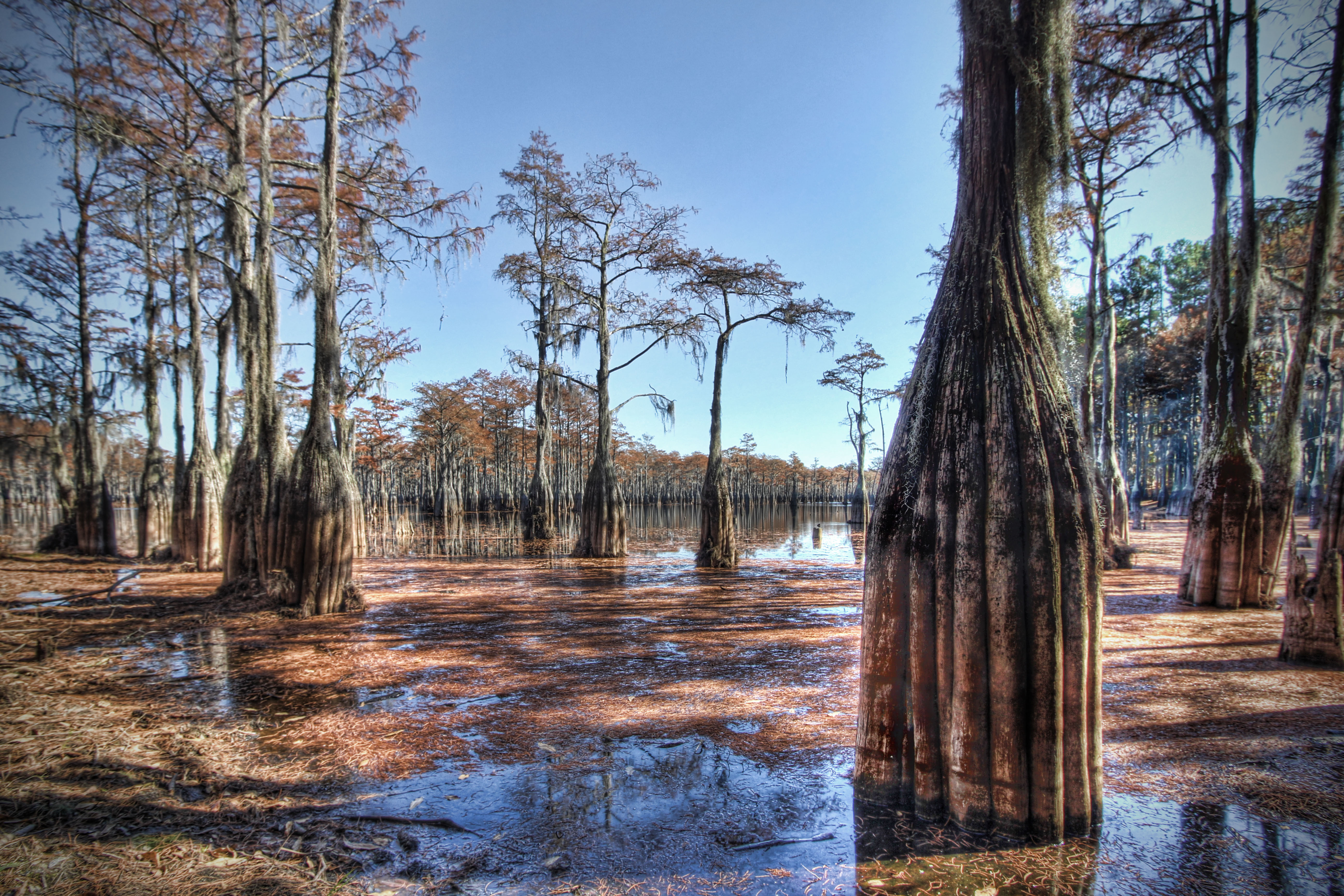
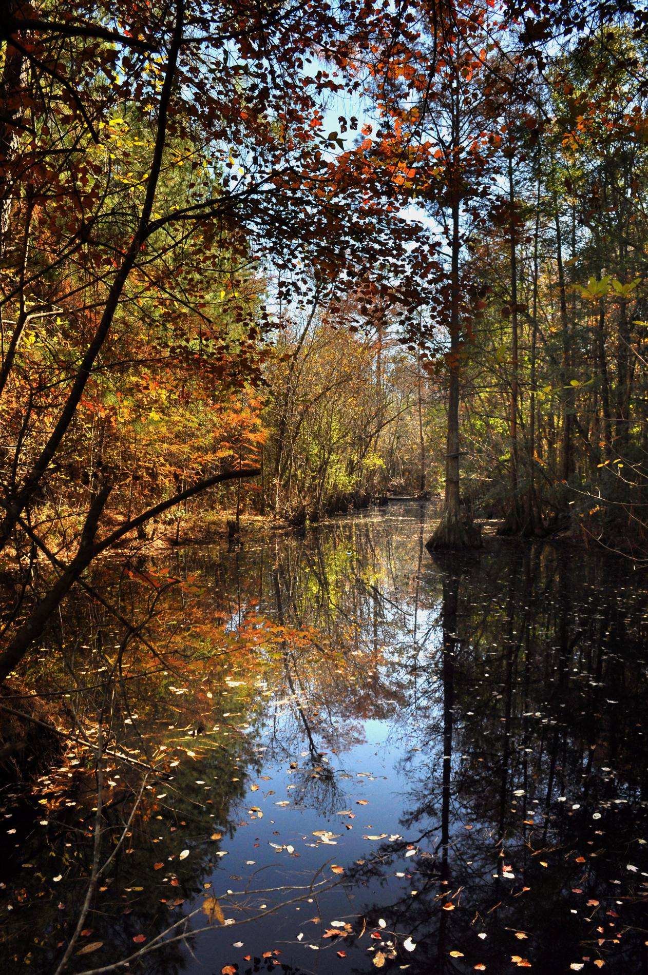
Cypress here to there

George L Smith28
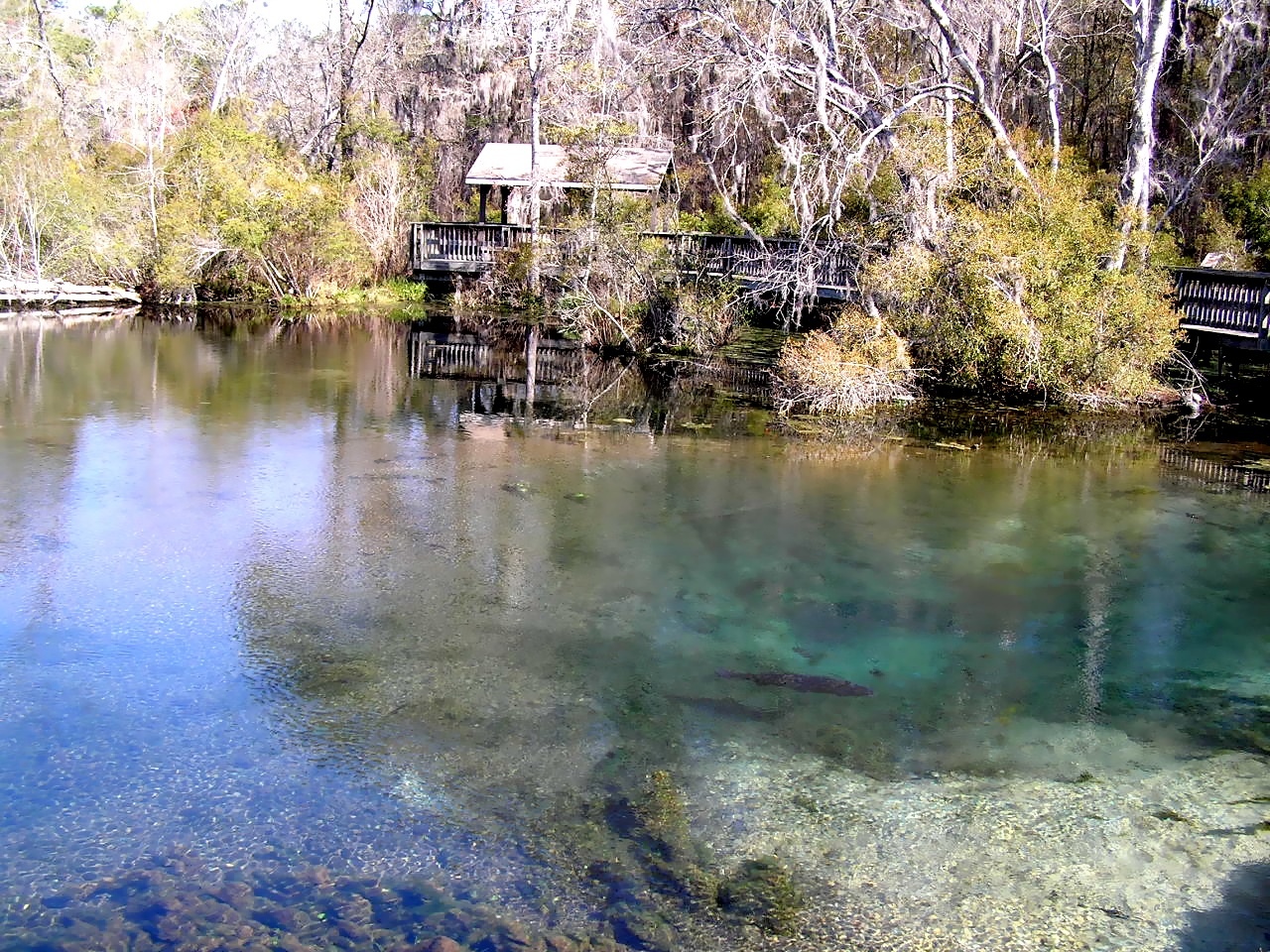
Magnolia Springs State Park

George L Smith18
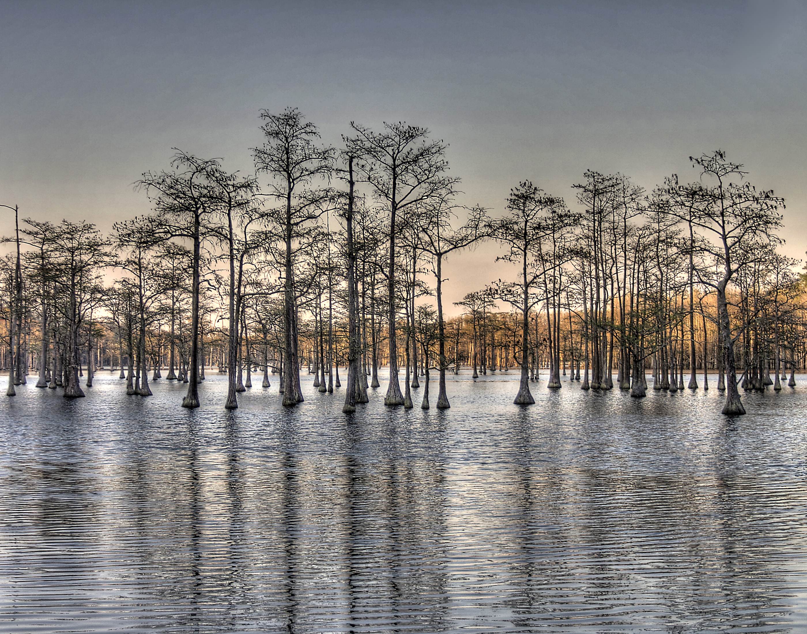
Pond Cypress with pink sky

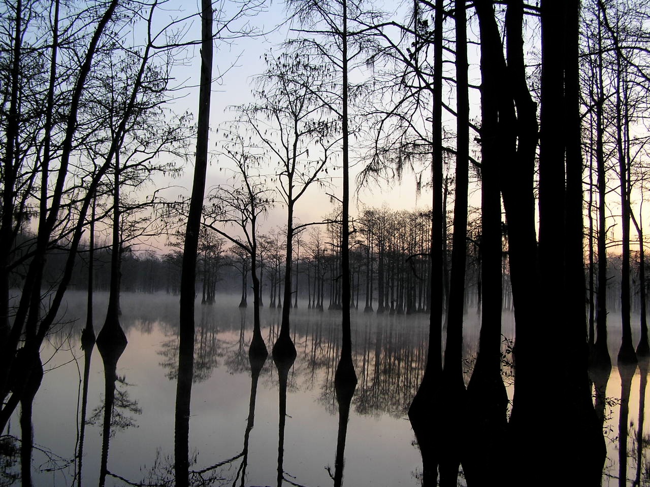
Watson Pond: Explore #378 on November 16, 2014
George L Smith29
George L Smith26
George L Smith16
Emanuel County
George L Smith24
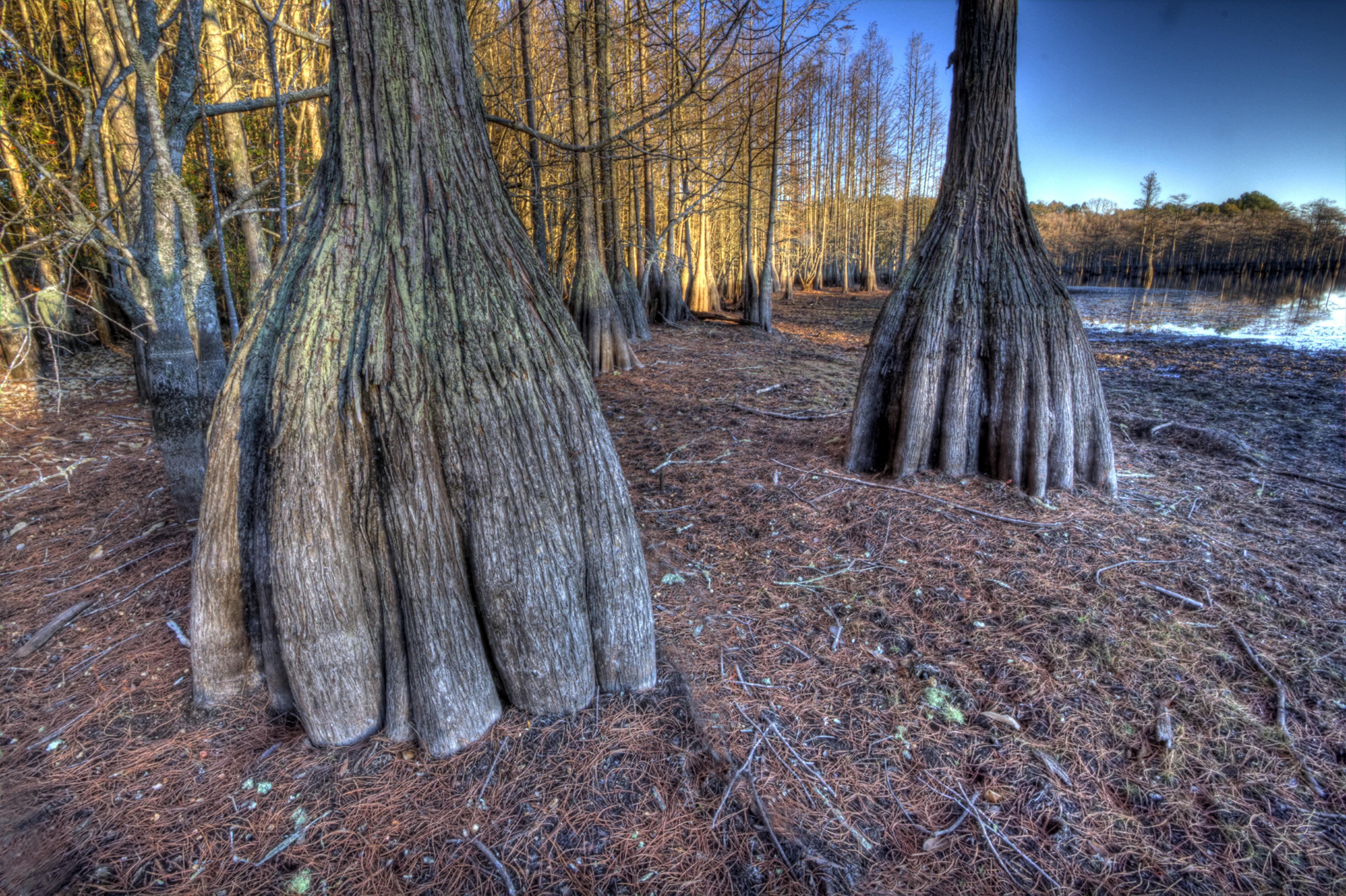
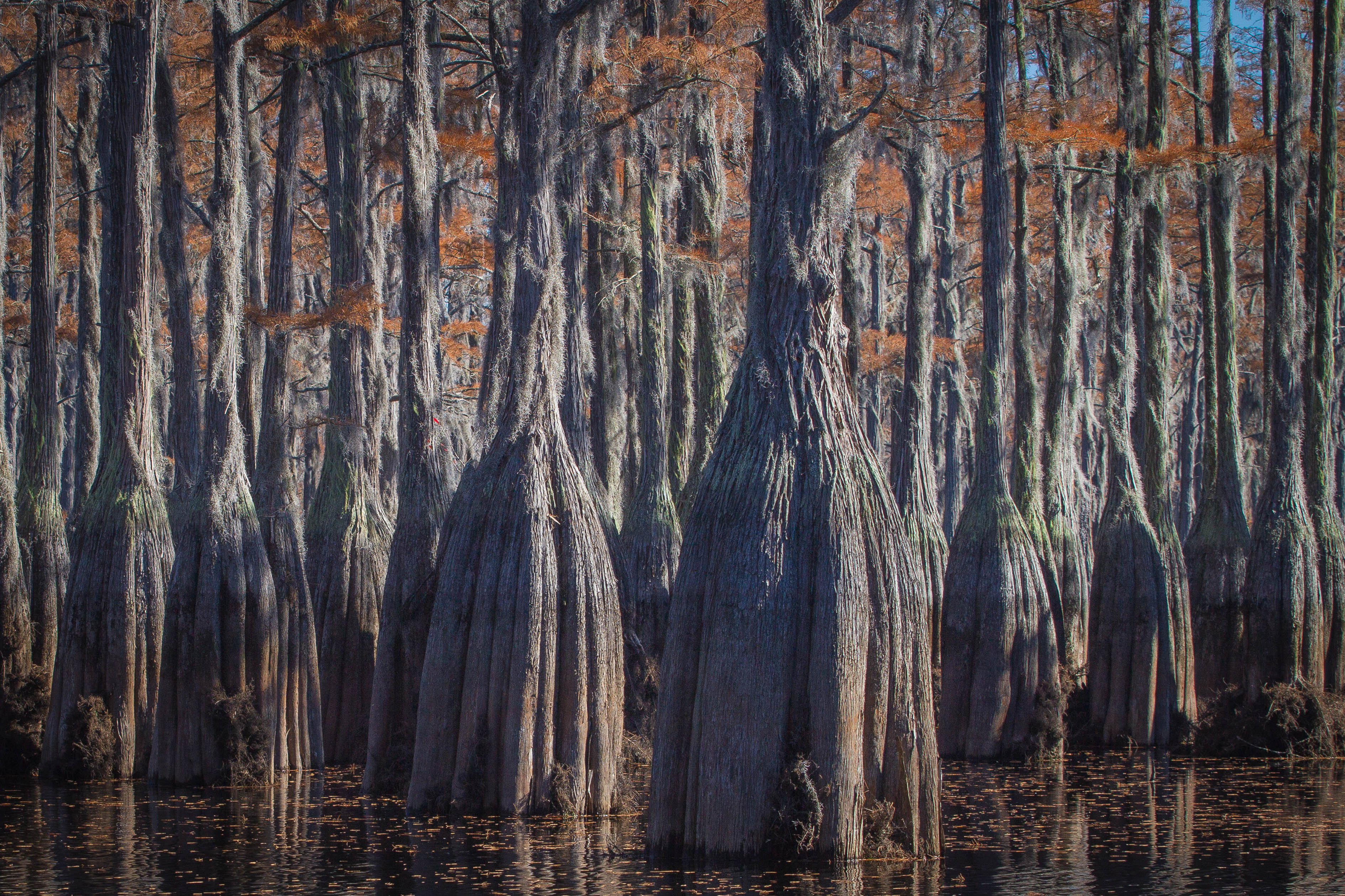
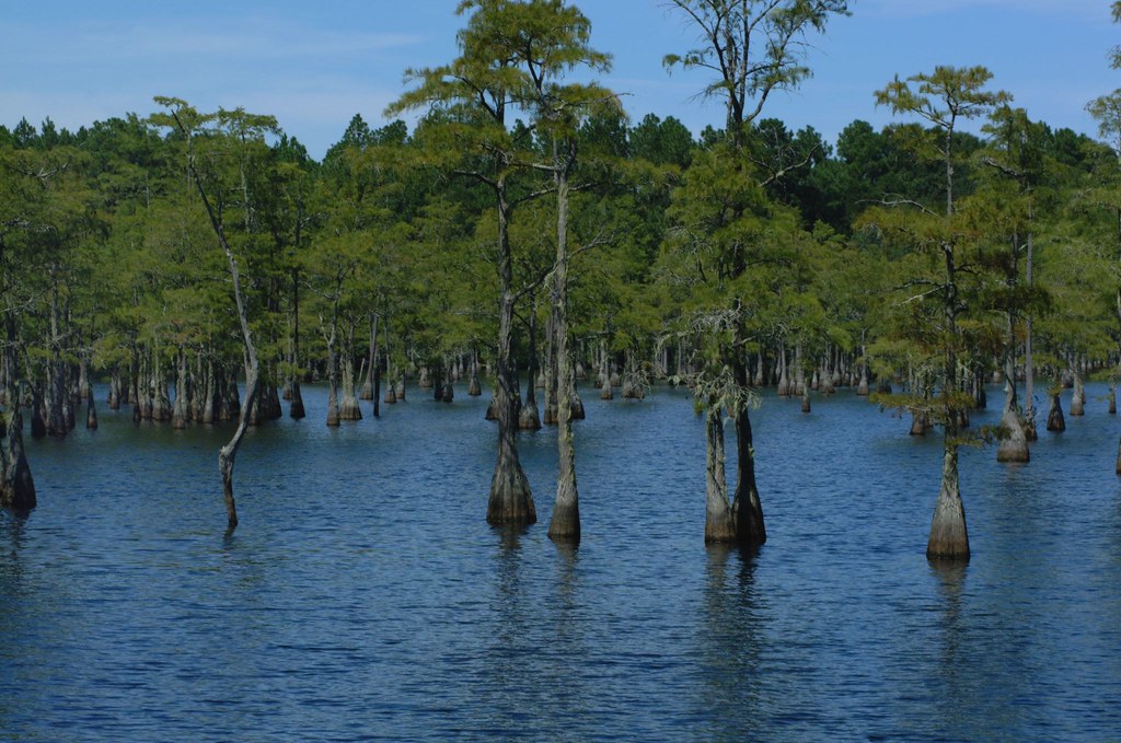
Cypress trunks exposed.

George L Smith21
George L Smith20

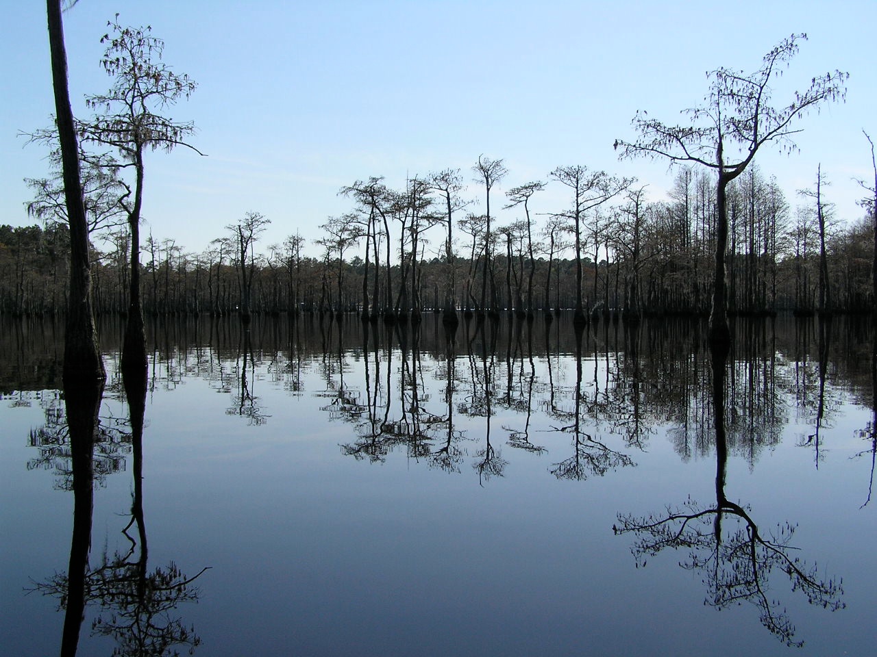
Water-filled

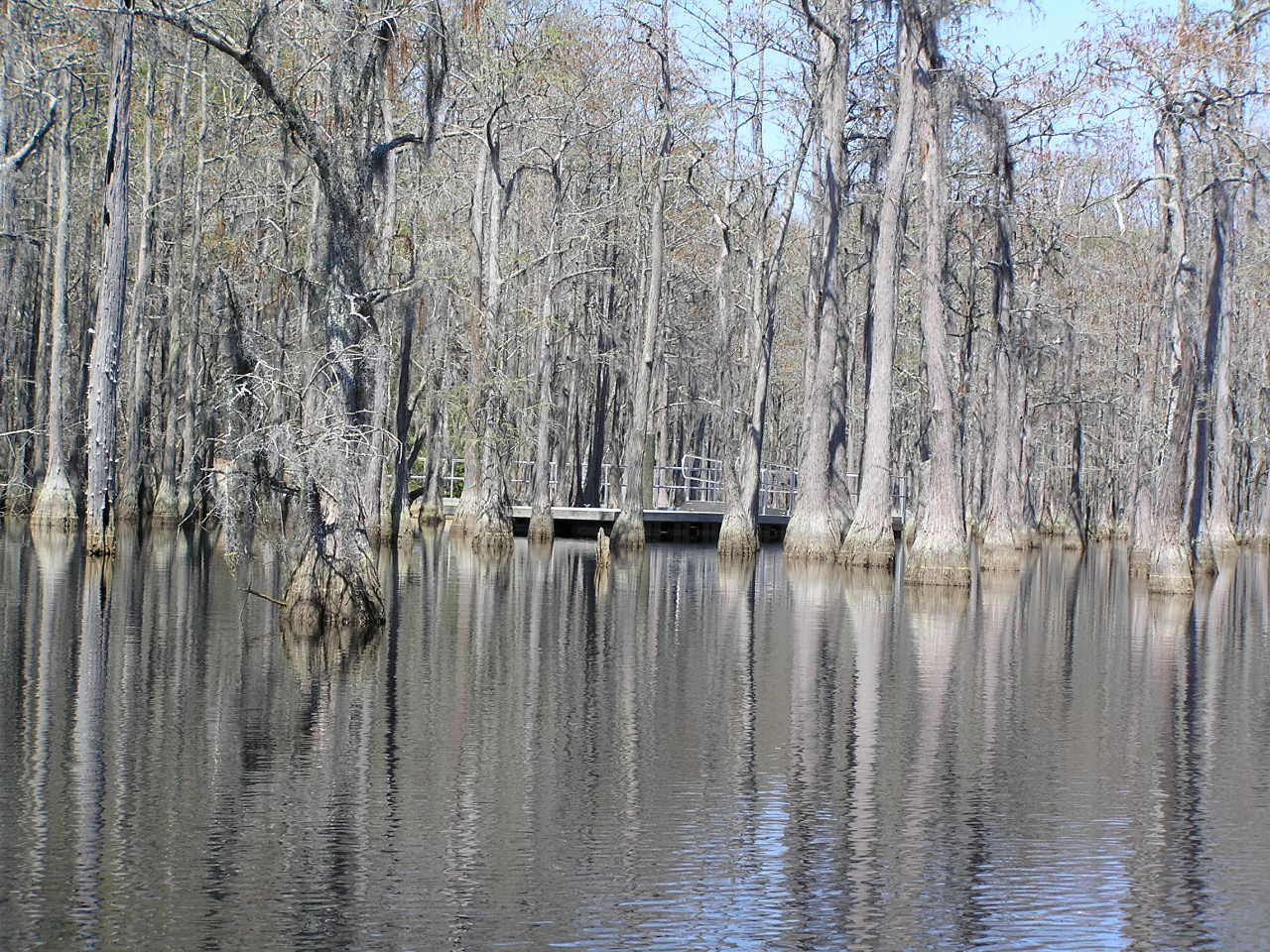
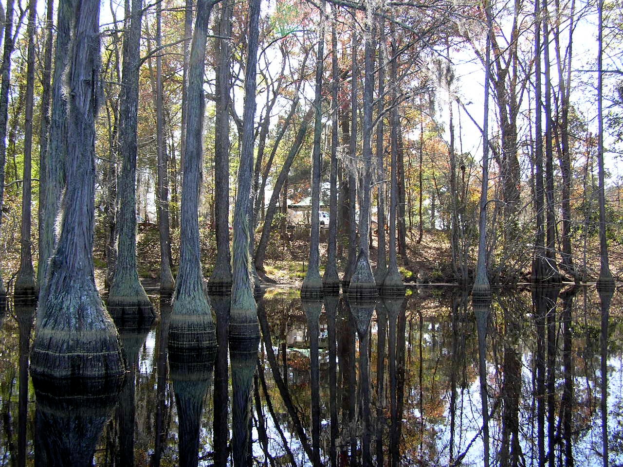
George L. Smith State Park
George L. Smith State Park

George L. Smith State Park
George L Smith State Park
Topographic Map of Canoochee, GA, USA
Find elevation by address:

Places in Canoochee, GA, USA:
Places near Canoochee, GA, USA:
Canoochee Garfield Rd, Twin City, GA, USA
Ga-192 & Lawrence Sherrod Rd
Ga-192 & Lawrence Sherrod Rd
Ga-192 & Lawrence Sherrod Rd
Garfield
Twin City
4864 Lane Rd
72 Summertown Main St, Summertown, GA, USA
Summertown
Thrift Rd, Millen, GA, USA
George L. Smith State Park
Covena Rd, Midville, GA, USA
Fellowship St, Swainsboro, GA, USA
374 Country Rd 66
S Herndon Rd, Millen, GA, USA
Midville
Emanuel County
318 Ga-17
Swainsboro
156 Modoc Rd
Recent Searches:
- Elevation of Corso Fratelli Cairoli, 35, Macerata MC, Italy
- Elevation of Tallevast Rd, Sarasota, FL, USA
- Elevation of 4th St E, Sonoma, CA, USA
- Elevation of Black Hollow Rd, Pennsdale, PA, USA
- Elevation of Oakland Ave, Williamsport, PA, USA
- Elevation of Pedrógão Grande, Portugal
- Elevation of Klee Dr, Martinsburg, WV, USA
- Elevation of Via Roma, Pieranica CR, Italy
- Elevation of Tavkvetili Mountain, Georgia
- Elevation of Hartfords Bluff Cir, Mt Pleasant, SC, USA