Elevation of GA-17, Midville, GA, USA
Location: United States > Georgia > Emanuel County > Midville >
Longitude: -82.256044
Latitude: 32.827729
Elevation: 66m / 217feet
Barometric Pressure: 101KPa
Elevation Map:
Satellite Map:
Related Photos:
Jefferson County Georgia

Jefferson County, Georgia

Pivot-Head Irrigation, Cotton Field- Jefferson County GeorgiaDSC_8936

Jeremy Harkins

Tundra Swan 12/07/14

Tundra Goose 12/07/14 Magruder Rd. Burke Co, GA
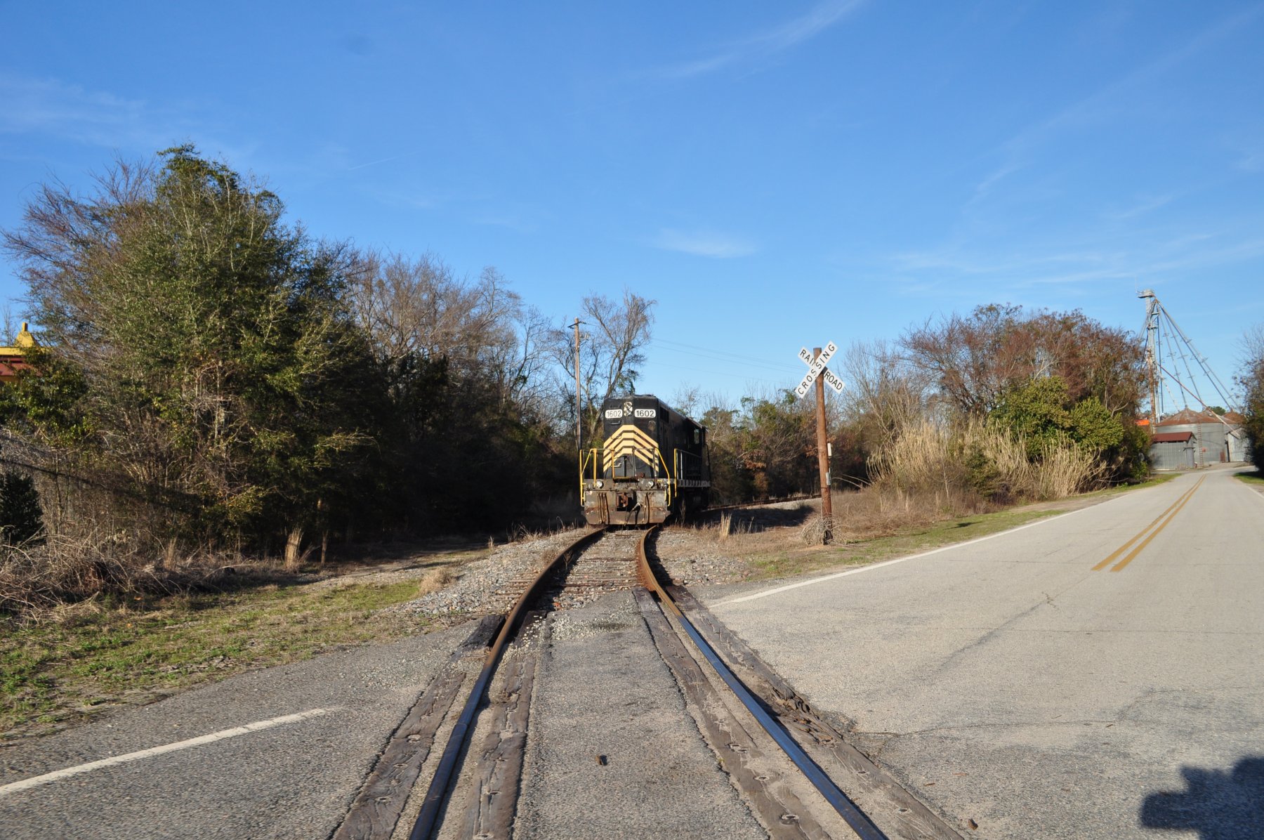
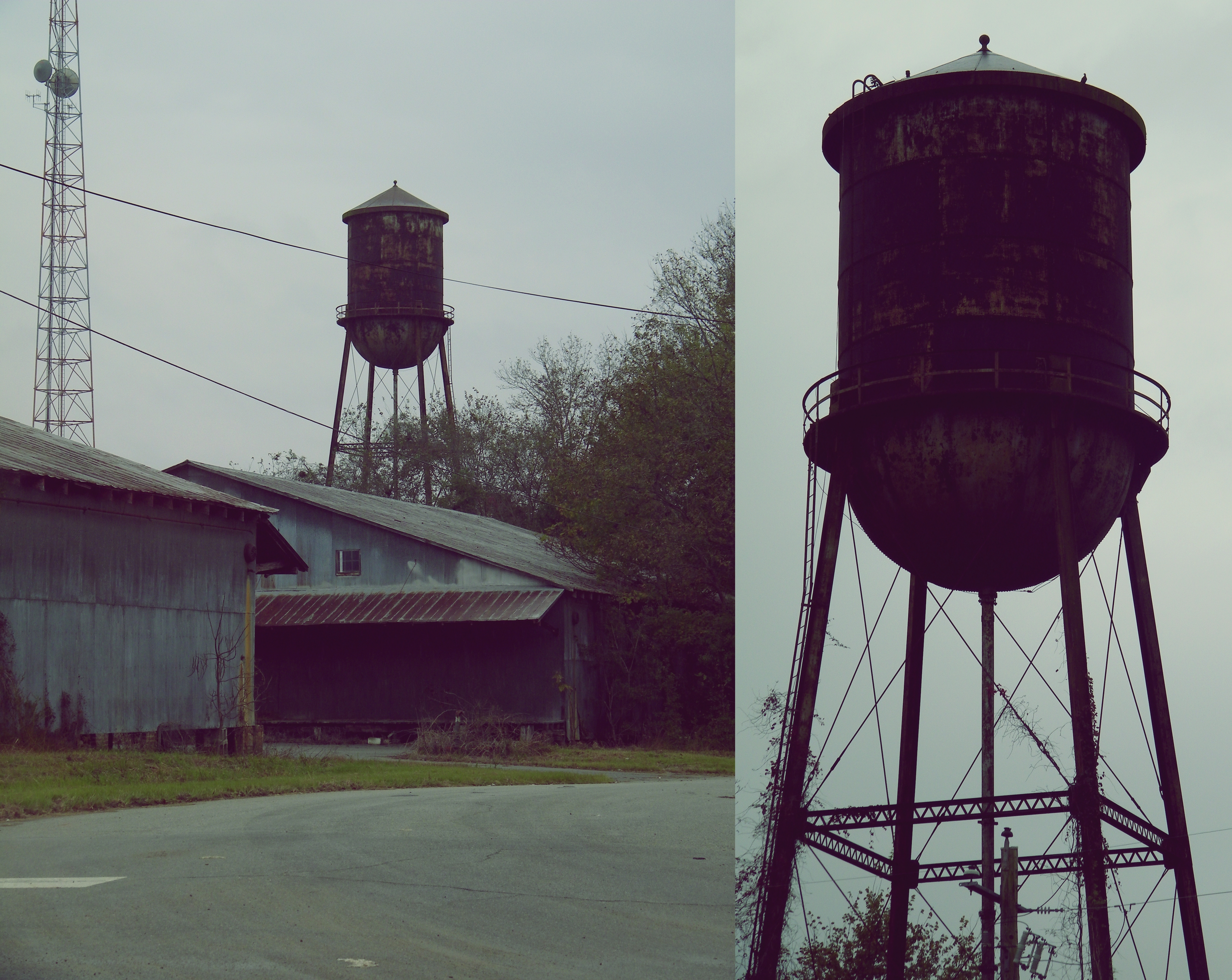
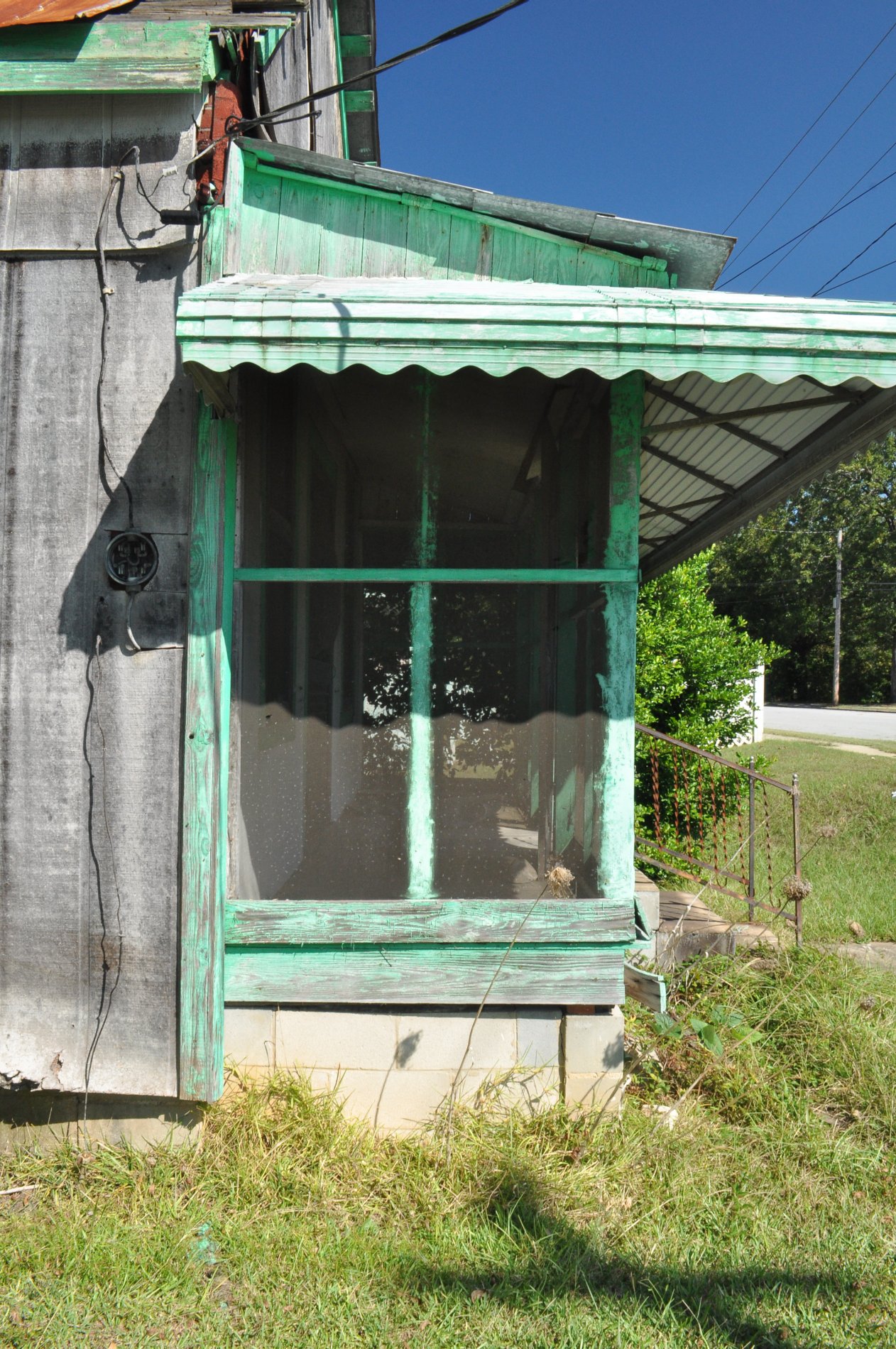
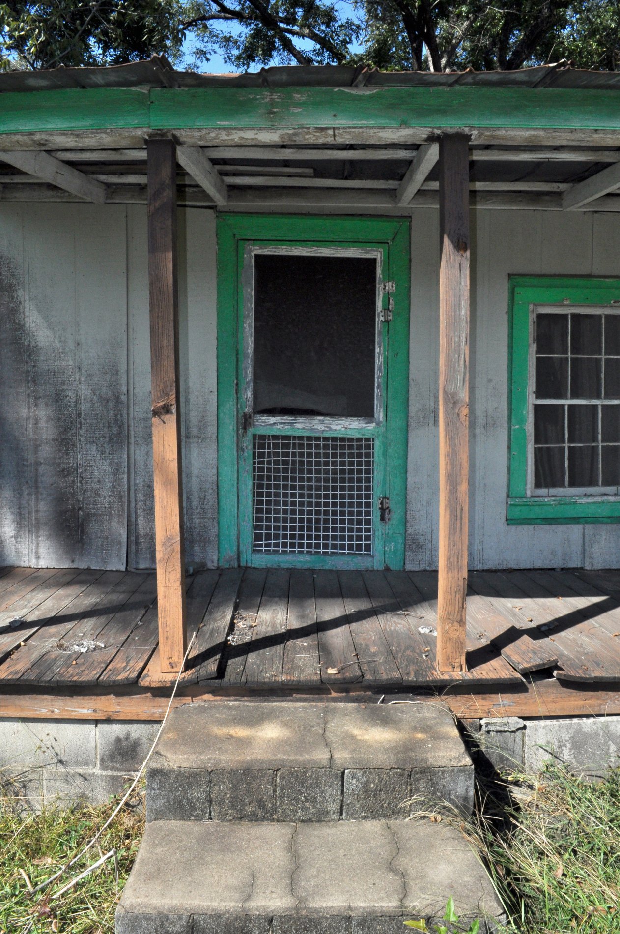
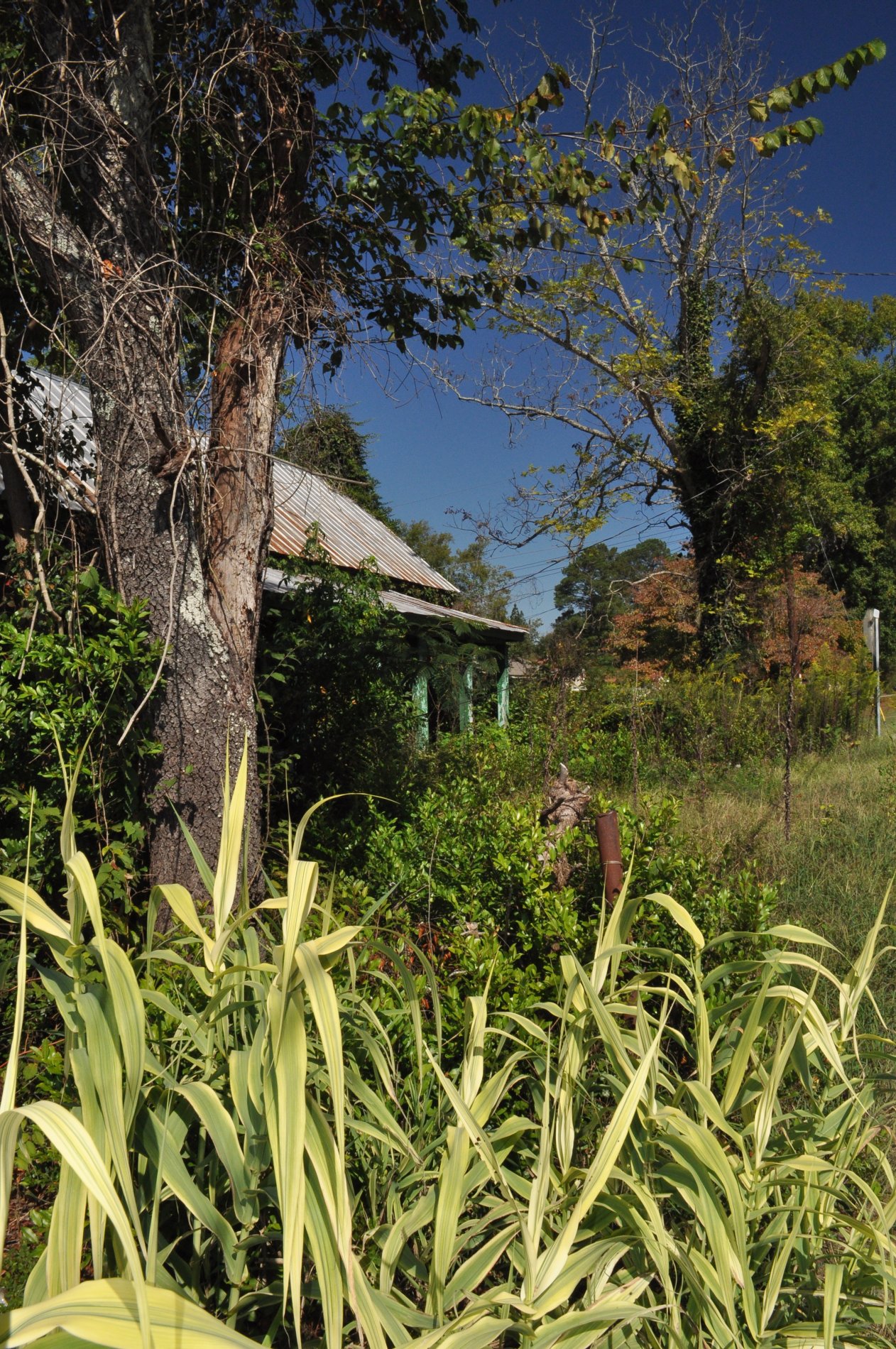
Midville, Ga
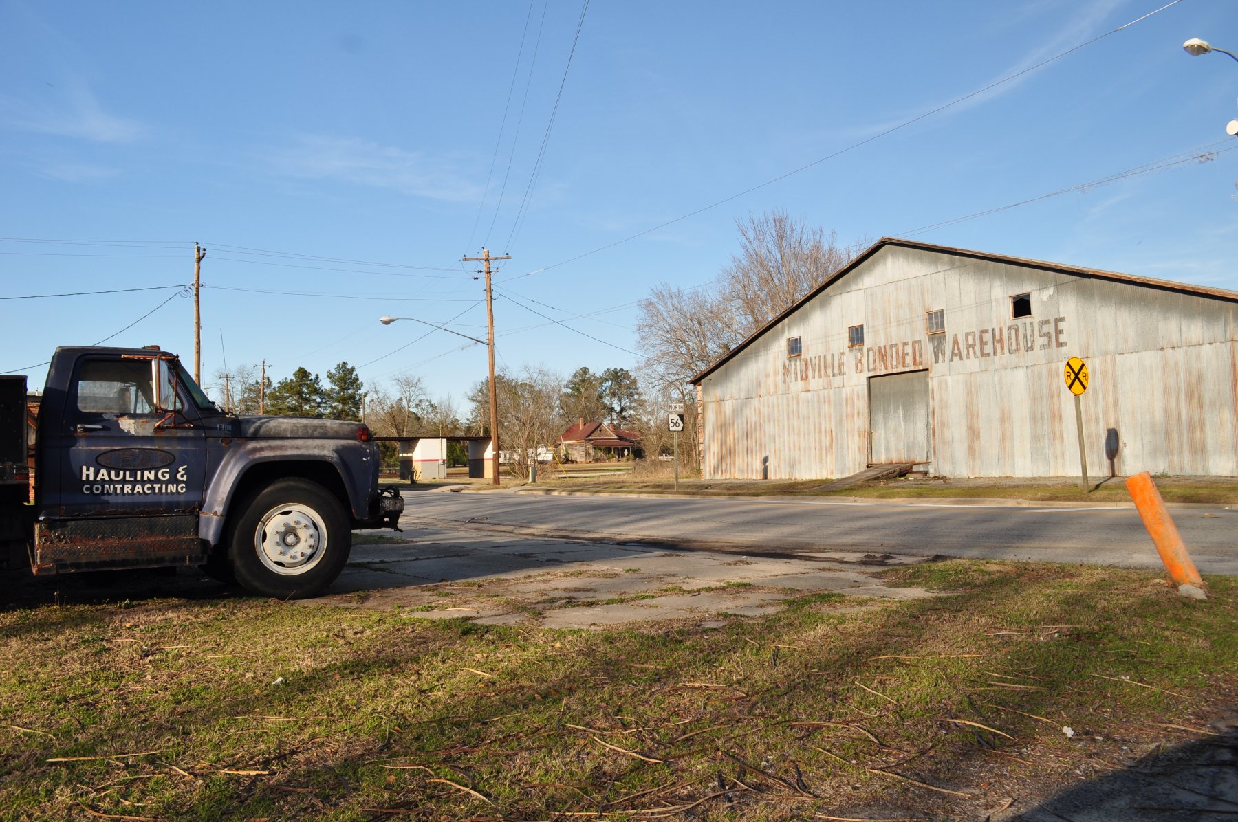
Midville, Ga

Ogeechee River at Midville
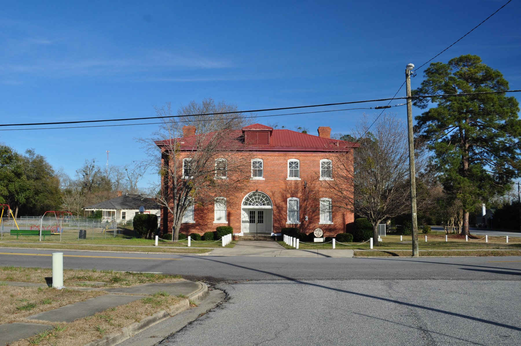
Midville, Ga

Wadley, Georgia

Wadley, Georgia
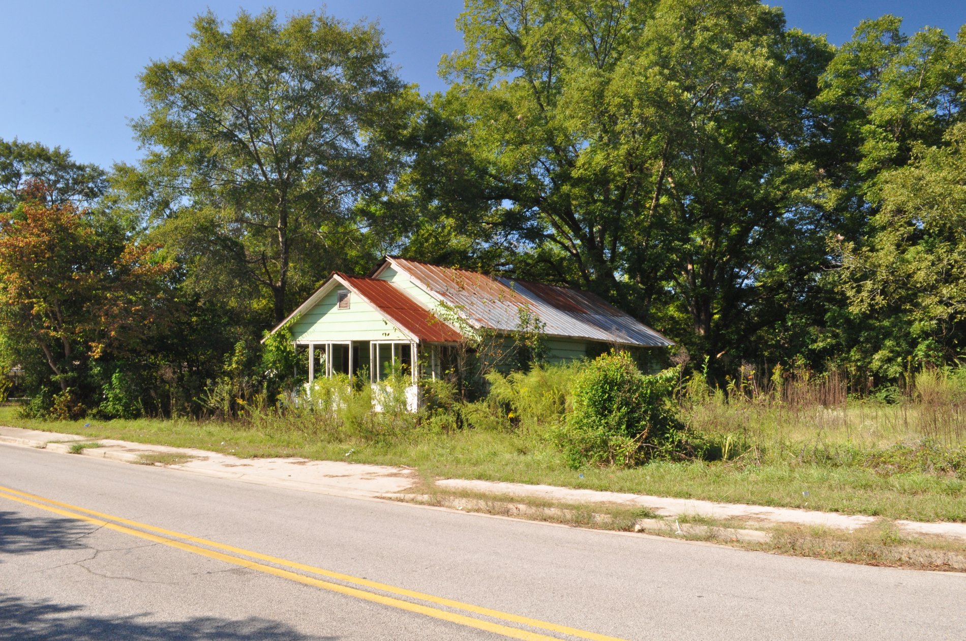
Wadley, Georgia

Wadley, Georgia
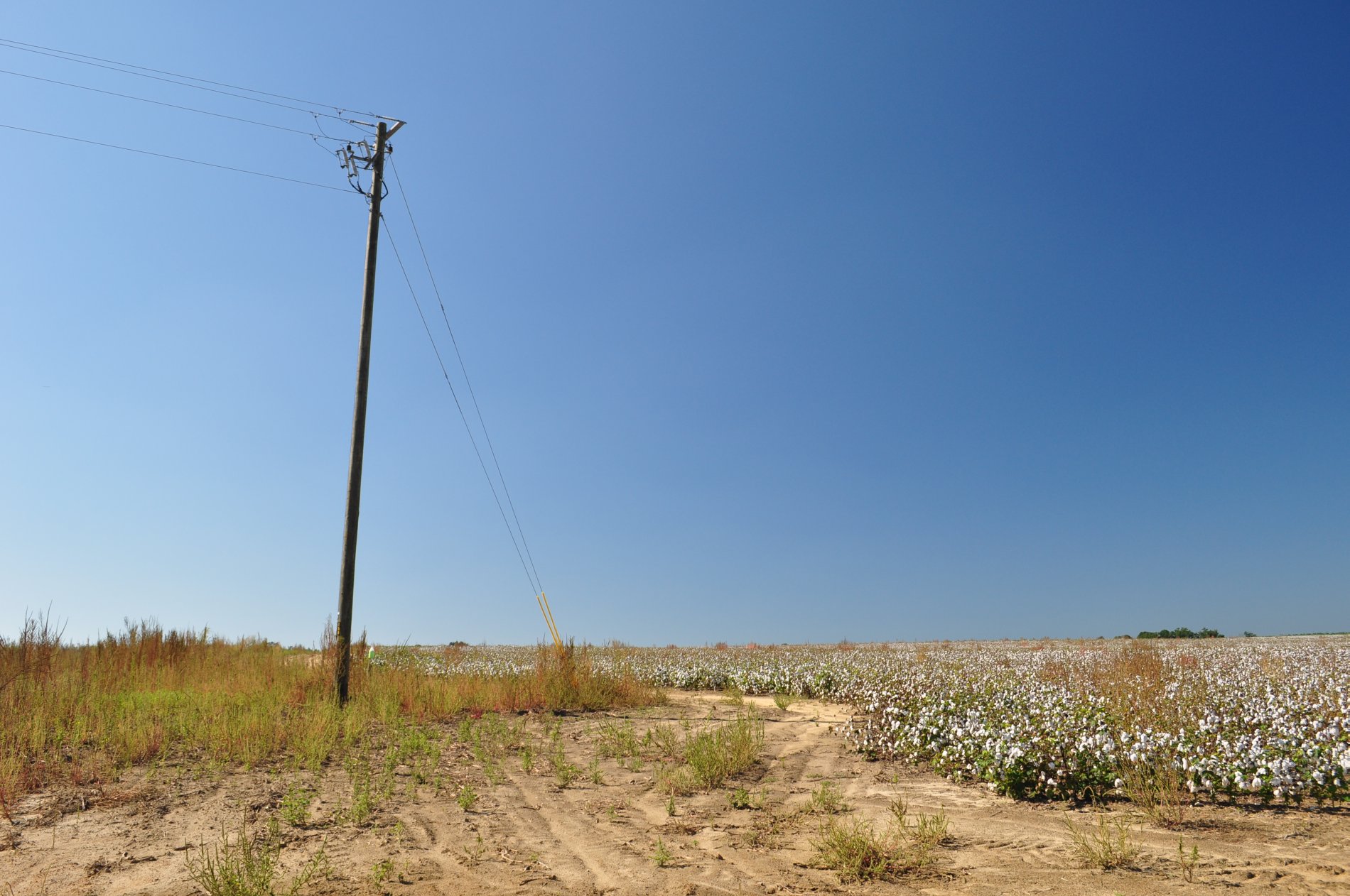
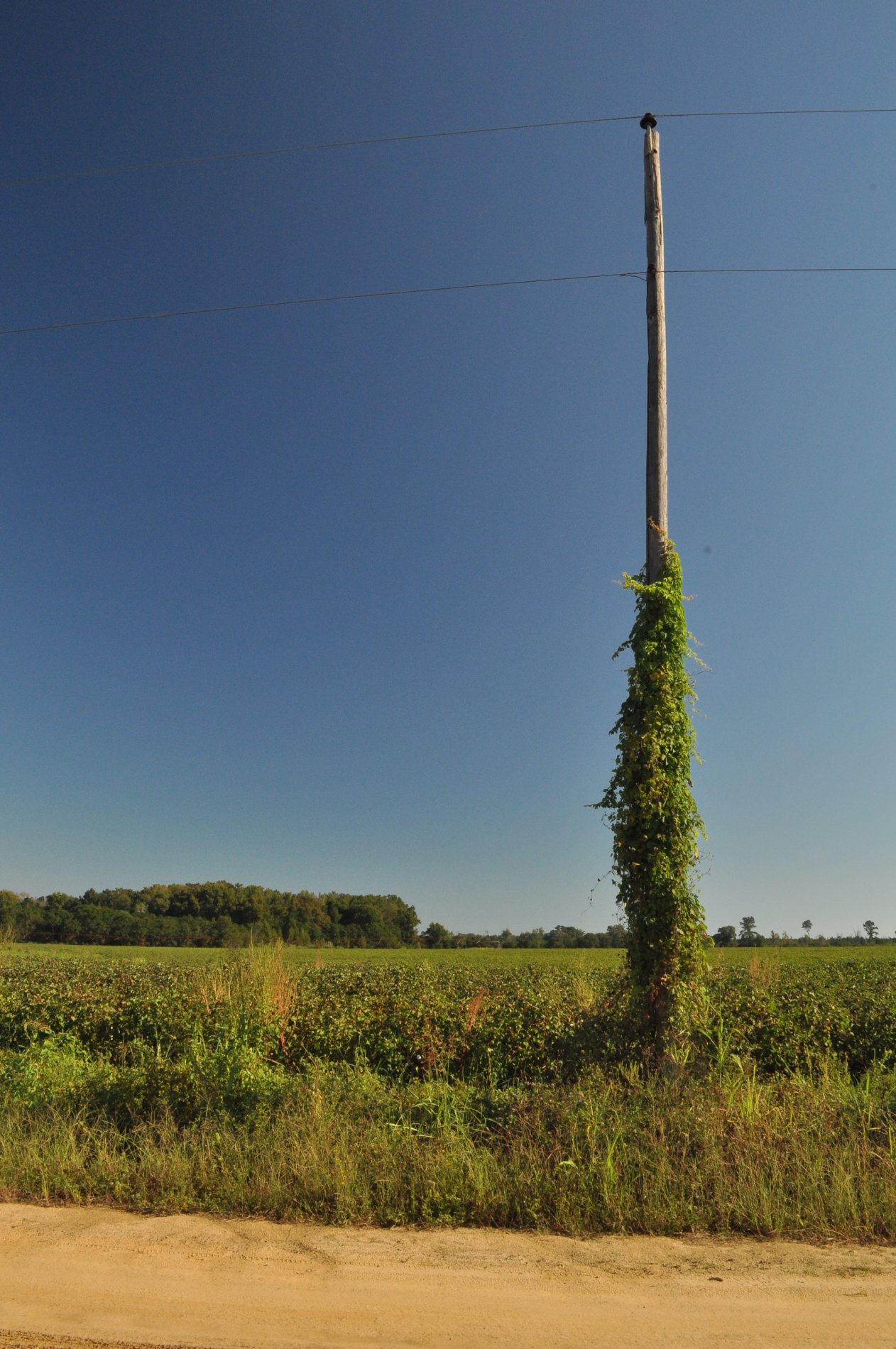
Cotton Field, Jefferson County Georgia

Cotton Field, Jefferson County Georgia

Wadley, Georgia
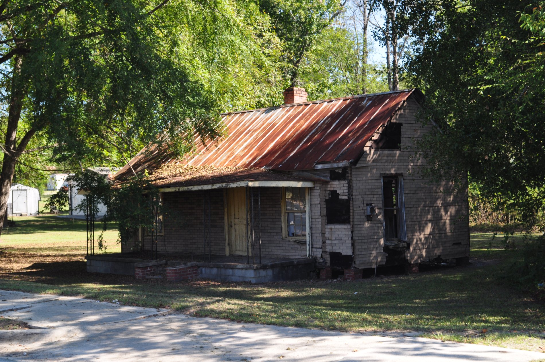
Wadley, Georgia
Wadley, Georgia
Wadley, Georgia
Wadley, Georgia
Topographic Map of GA-17, Midville, GA, USA
Find elevation by address:

Places near GA-17, Midville, GA, USA:
Midville
Covena Rd, Midville, GA, USA
Summertown
72 Summertown Main St, Summertown, GA, USA
GA-, Midville, GA, USA
GA-56, Midville, GA, USA
Ga-192 & Lawrence Sherrod Rd
Ga-192 & Lawrence Sherrod Rd
Ga-192 & Lawrence Sherrod Rd
S Herndon Rd, Millen, GA, USA
GA-, Louisville, GA, USA
Wadley
Canoochee
Canoochee Garfield Rd, Twin City, GA, USA
Mole Rd, Wadley, GA, USA
374 Country Rd 66
GA-, Louisville, GA, USA
Vidette
4864 Lane Rd
Bartow
Recent Searches:
- Elevation of Hercules Dr, Colorado Springs, CO, USA
- Elevation of Szlak pieszy czarny, Poland
- Elevation of Griffing Blvd, Biscayne Park, FL, USA
- Elevation of Kreuzburger Weg 13, Düsseldorf, Germany
- Elevation of Gateway Blvd SE, Canton, OH, USA
- Elevation of East W.T. Harris Boulevard, E W.T. Harris Blvd, Charlotte, NC, USA
- Elevation of West Sugar Creek, Charlotte, NC, USA
- Elevation of Wayland, NY, USA
- Elevation of Steadfast Ct, Daphne, AL, USA
- Elevation of Lagasgasan, X+CQH, Tiaong, Quezon, Philippines