Elevation of Foxboro Ln, Portal, GA, USA
Location: United States > Georgia > Bulloch County > Portal >
Longitude: -81.977483
Latitude: 32.500682
Elevation: 62m / 203feet
Barometric Pressure: 101KPa
Elevation Map:
Satellite Map:
Related Photos:

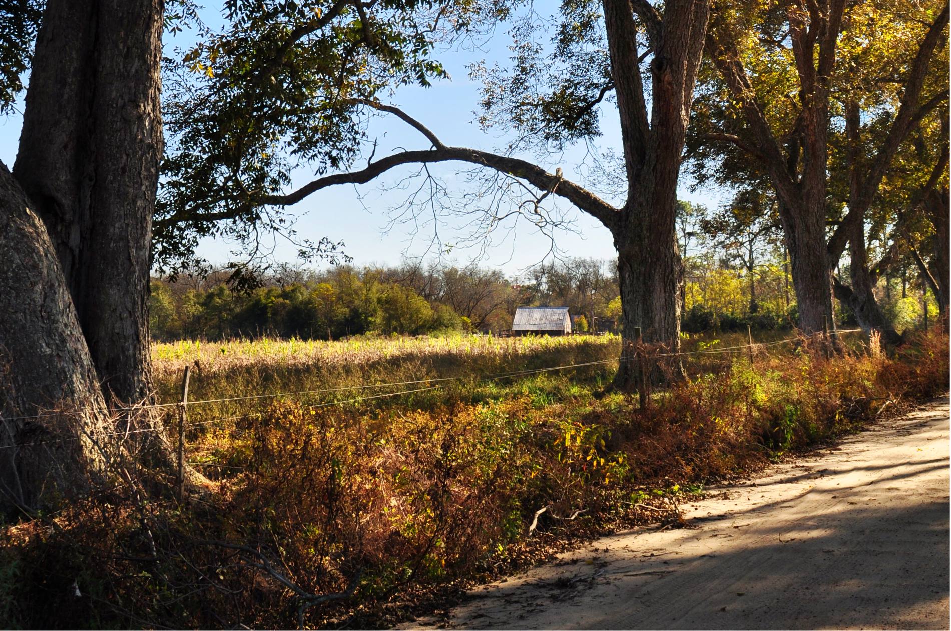
My house, view from street

Chapel Interior View
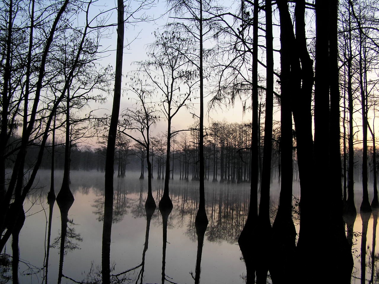
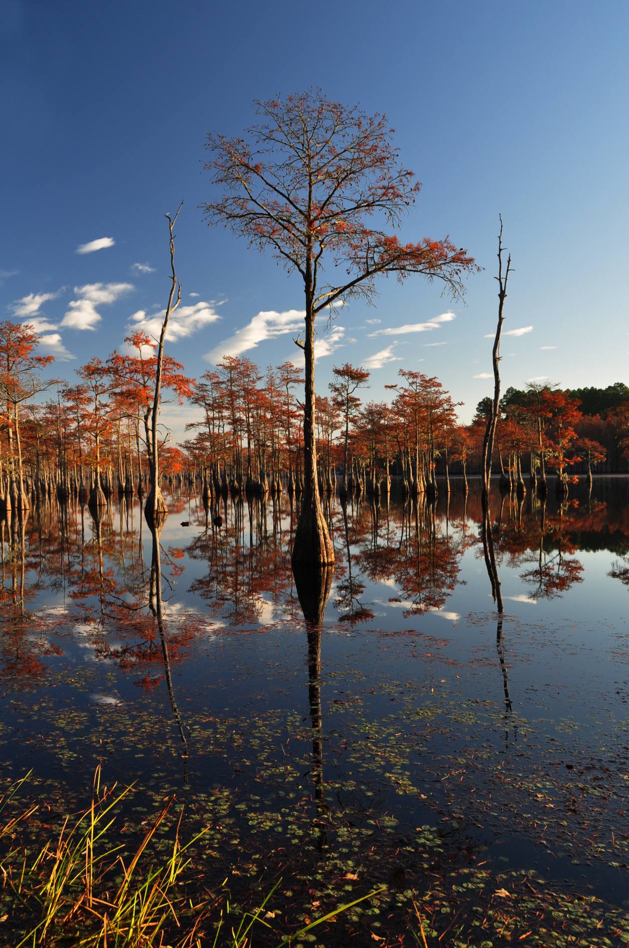
Pond Cypress with pink sky
You'll have to wait. The dance floor is full.

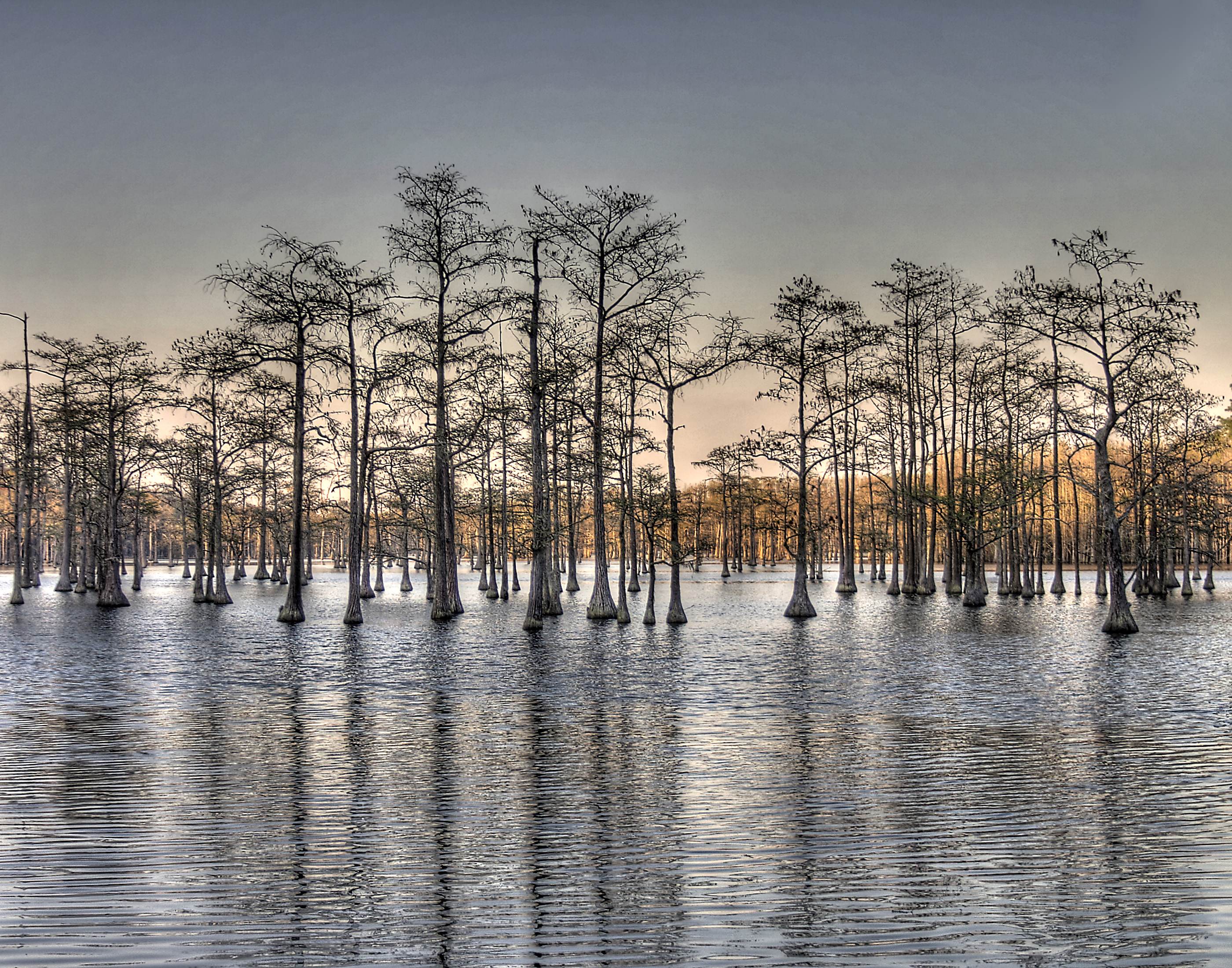
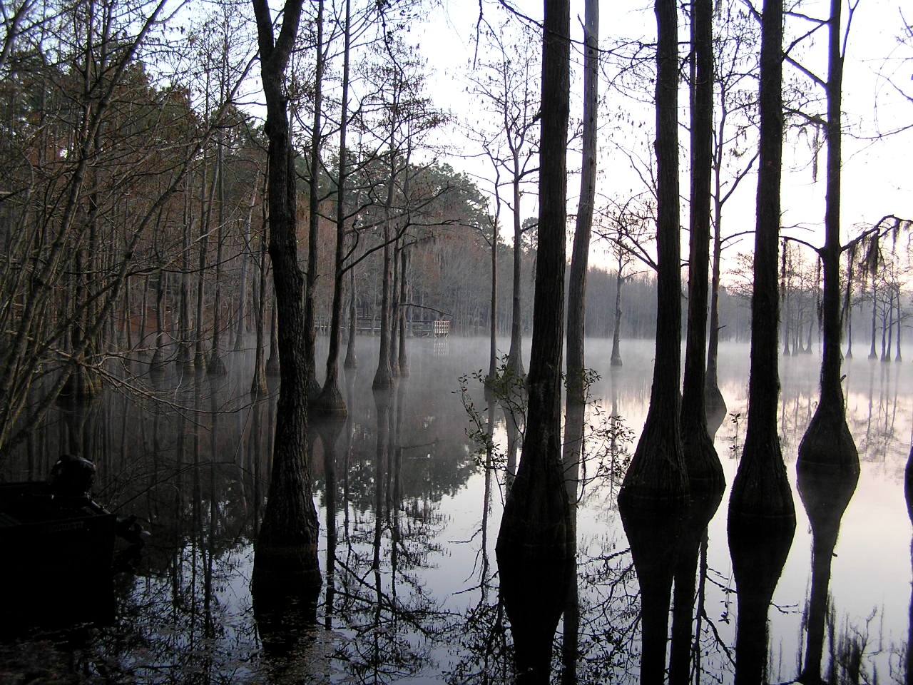
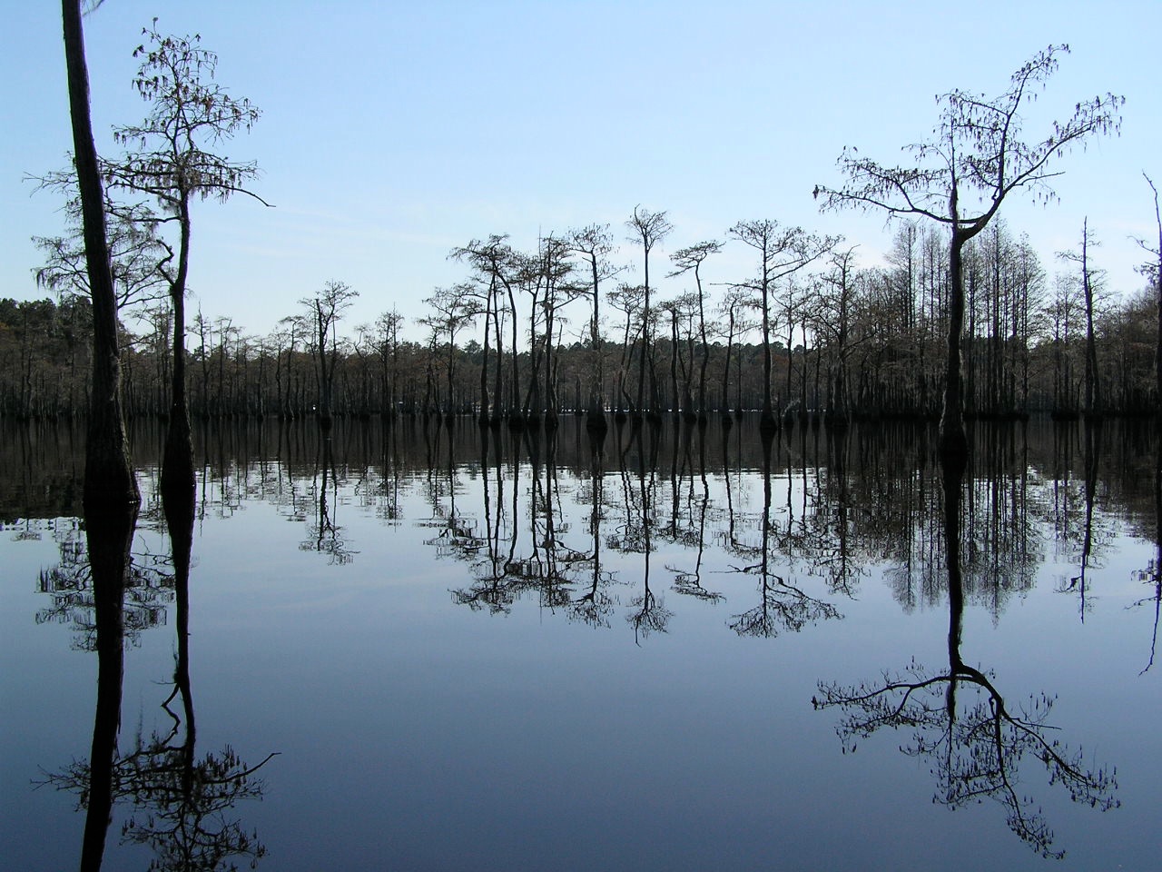
Watson Pond, Explore #420 on November 16, 2014
Cypress here to there

George L Smith28
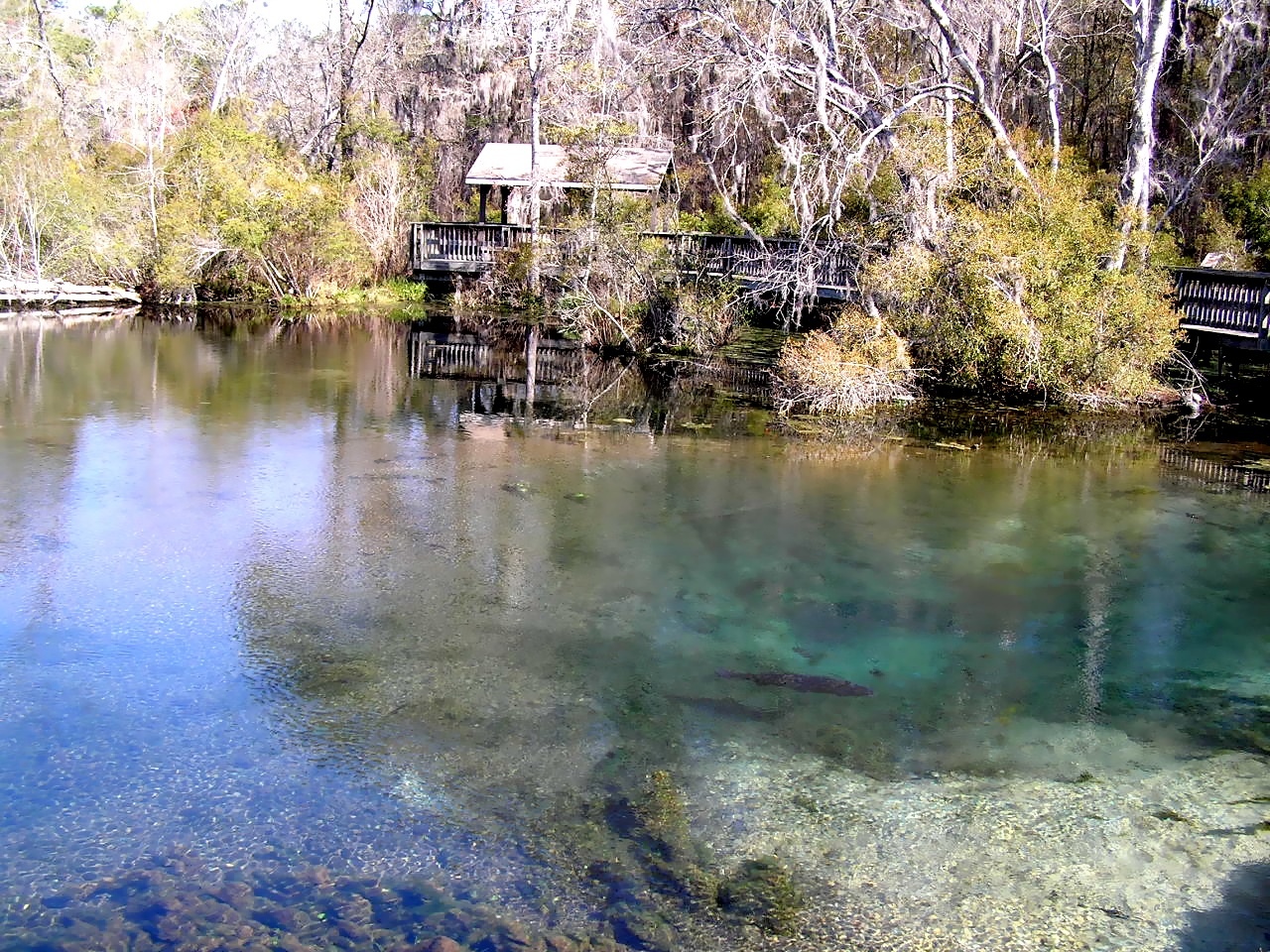
Magnolia Springs State Park
George L Smith26
George L Smith16
George L Smith29

Dirt Road - Candler County

George L Smith21
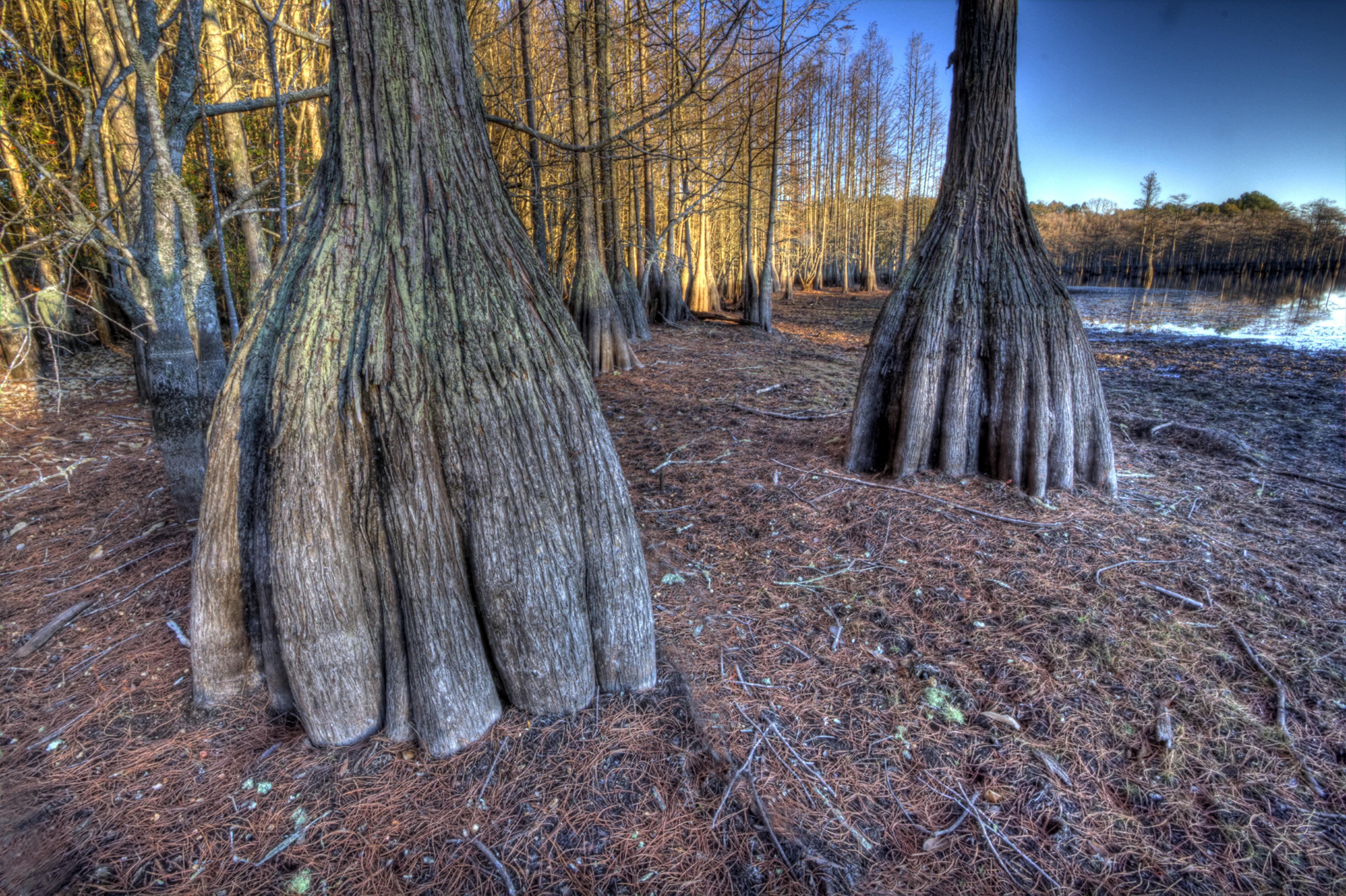
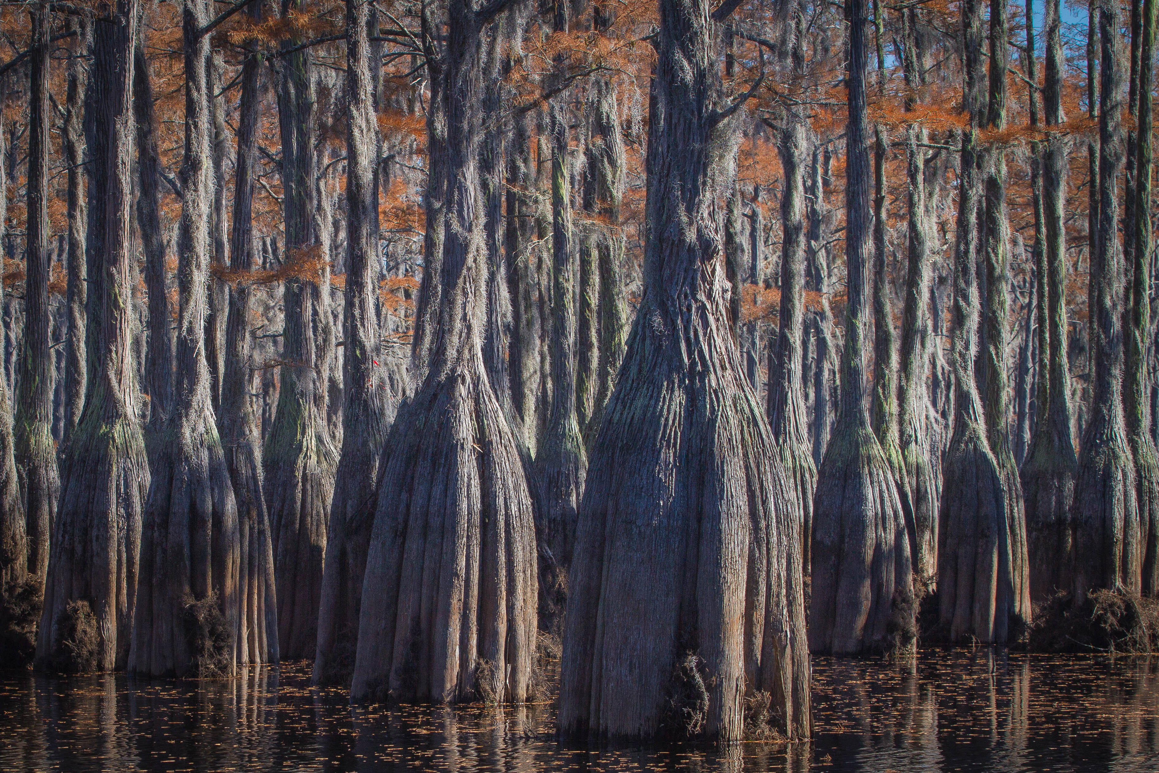
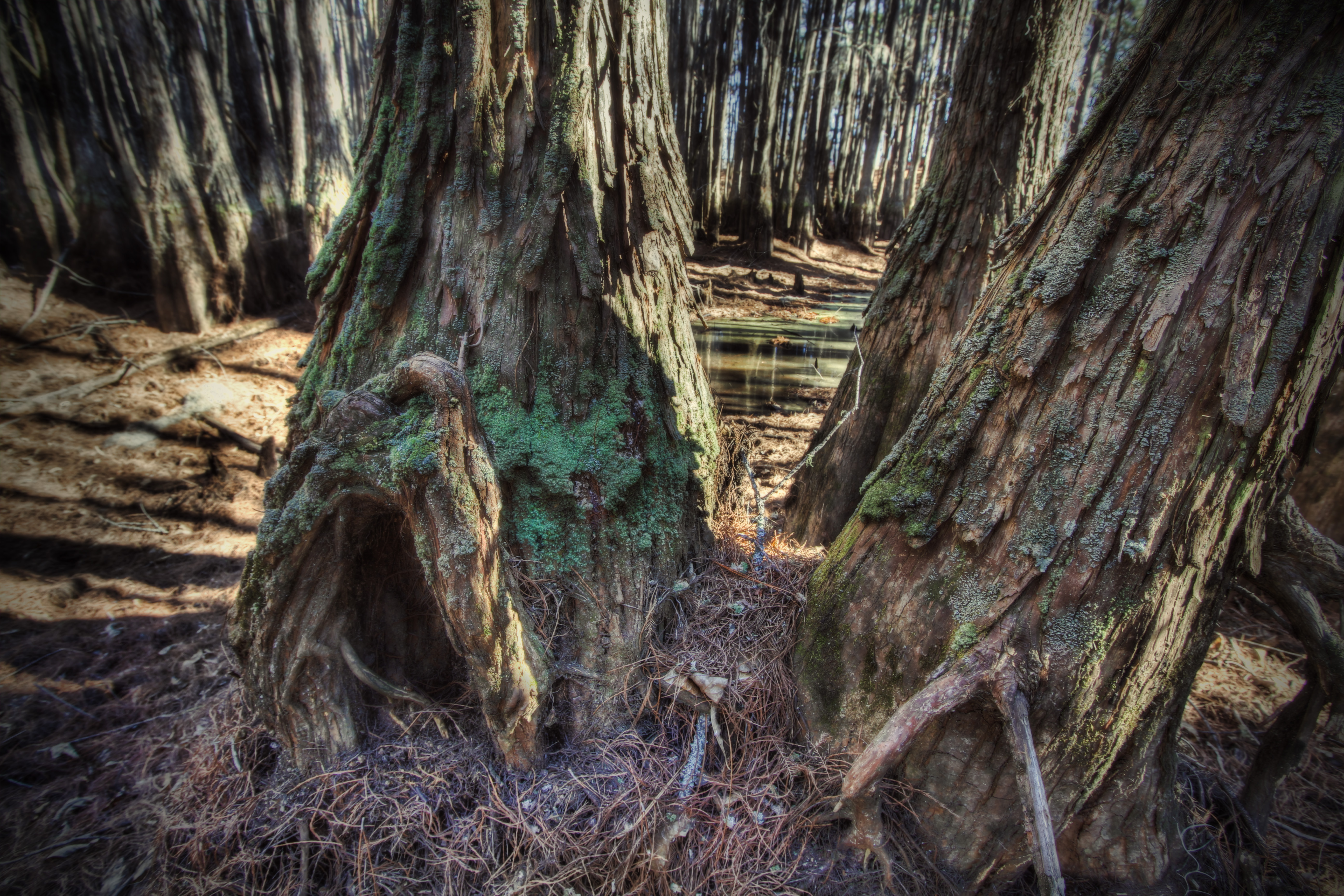
Cypress trunks exposed.
George L Smith20
Hobbit House

Water-filled
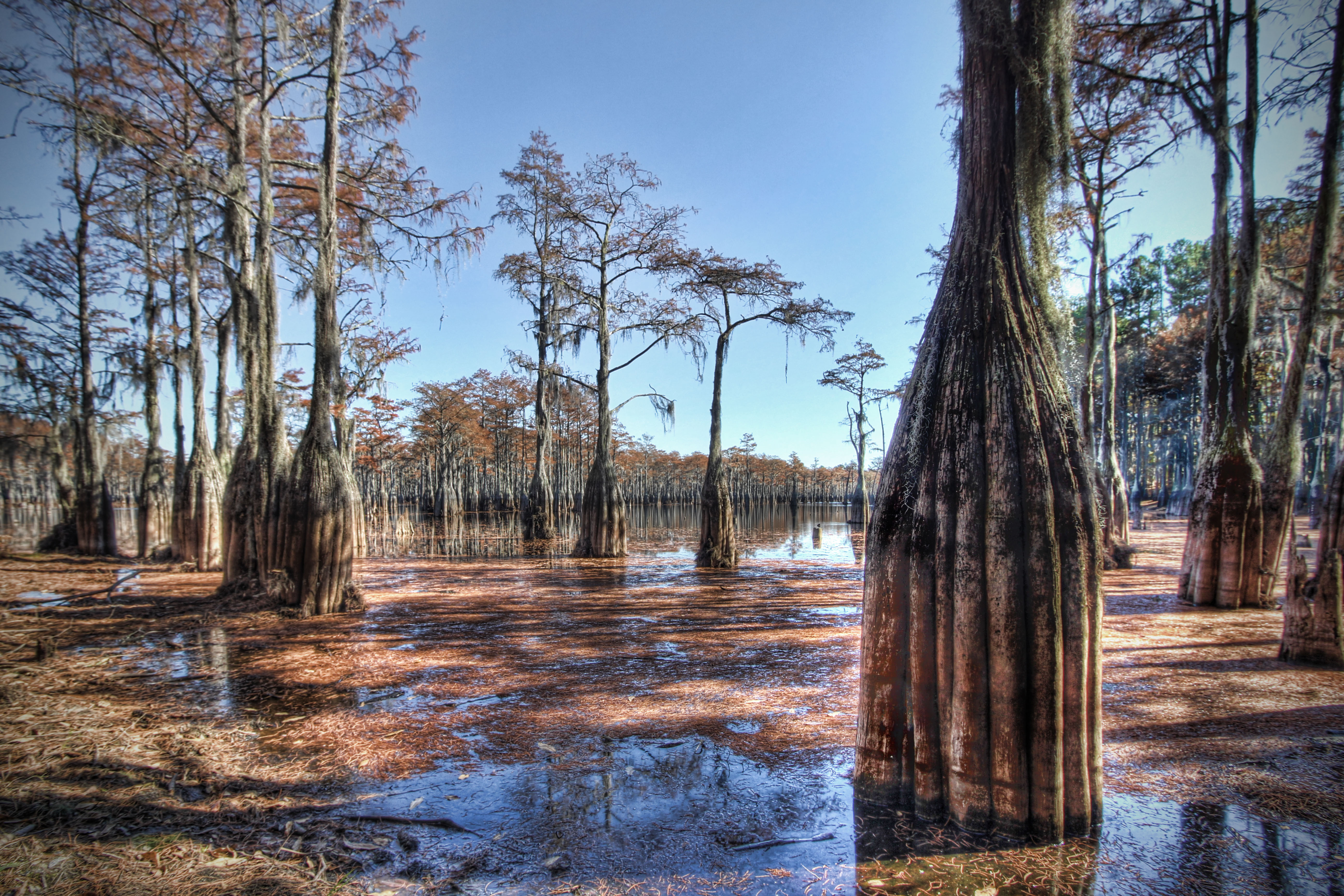
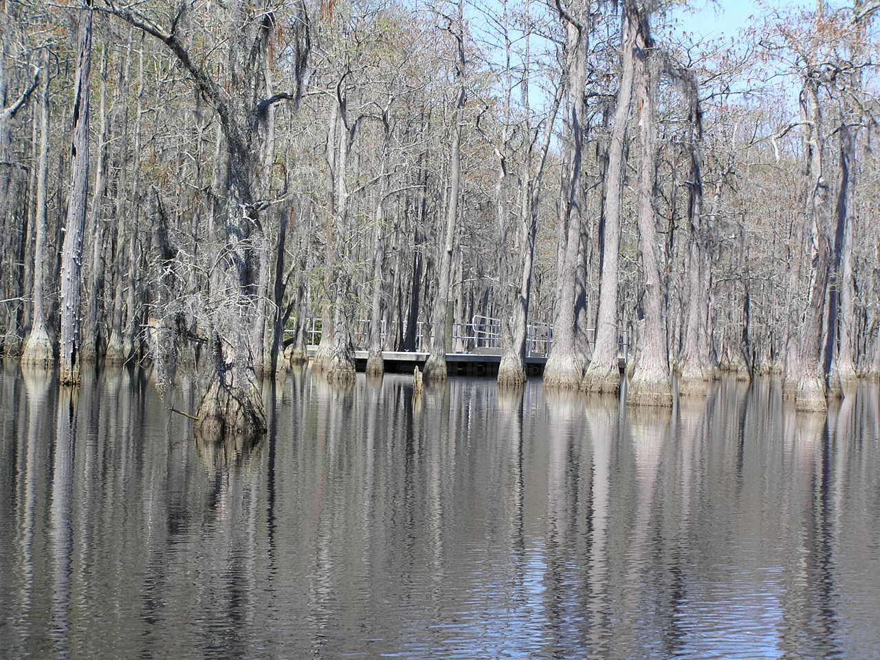
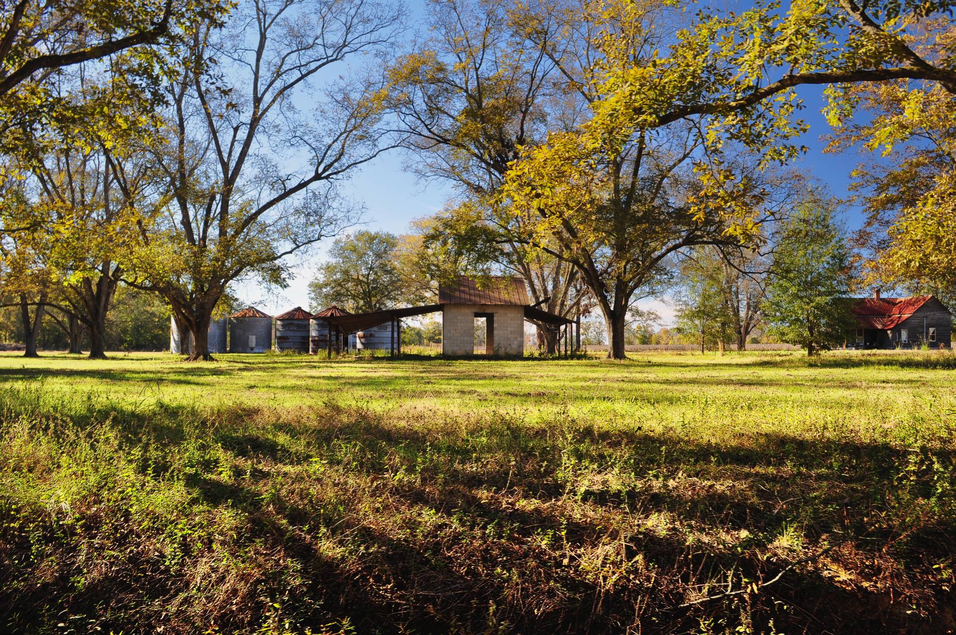
George L. Smith State Park
George L. Smith State Park

George L. Smith State Park
Bulloch County
Bulloch County

Bulloch County
Topographic Map of Foxboro Ln, Portal, GA, USA
Find elevation by address:

Places near Foxboro Ln, Portal, GA, USA:
804 Foxboro Ln
80 Oglesby Pond Rd, Portal, GA, USA
Portal
N Grady St, Portal, GA, USA
Aaron Station Rd, Portal, GA, USA
Pulaski
Main St, Metter, GA, USA
Rosemary Church Rd, Metter, GA, USA
US-80, Statesboro, GA, USA
217 Tavern Ln
Candler County
Metter
Central Ave, Metter, GA, USA
1804 Sweet Water Ct
2513 Wateringhole Ct
George L. Smith State Park
Honeysuckle Ln, Statesboro, GA, USA
Palomino Path, Statesboro, GA, USA
Akins Pond Rd, Statesboro, GA, USA
Register
Recent Searches:
- Elevation of Congressional Dr, Stevensville, MD, USA
- Elevation of Bellview Rd, McLean, VA, USA
- Elevation of Stage Island Rd, Chatham, MA, USA
- Elevation of Shibuya Scramble Crossing, 21 Udagawacho, Shibuya City, Tokyo -, Japan
- Elevation of Jadagoniai, Kaunas District Municipality, Lithuania
- Elevation of Pagonija rock, Kranto 7-oji g. 8"N, Kaunas, Lithuania
- Elevation of Co Rd 87, Jamestown, CO, USA
- Elevation of Tenjo, Cundinamarca, Colombia
- Elevation of Côte-des-Neiges, Montreal, QC H4A 3J6, Canada
- Elevation of Bobcat Dr, Helena, MT, USA