Elevation of 80 Oglesby Pond Rd, Portal, GA, USA
Location: United States > Georgia > Bulloch County > Portal >
Longitude: -81.962405
Latitude: 32.5555639
Elevation: 81m / 266feet
Barometric Pressure: 100KPa
Elevation Map:
Satellite Map:
Related Photos:
You'll have to wait. The dance floor is full.

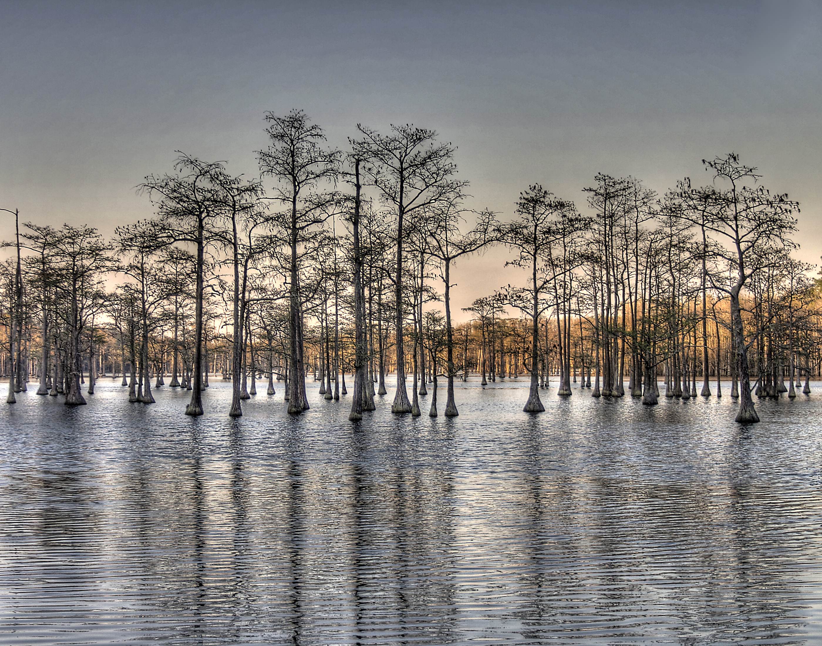
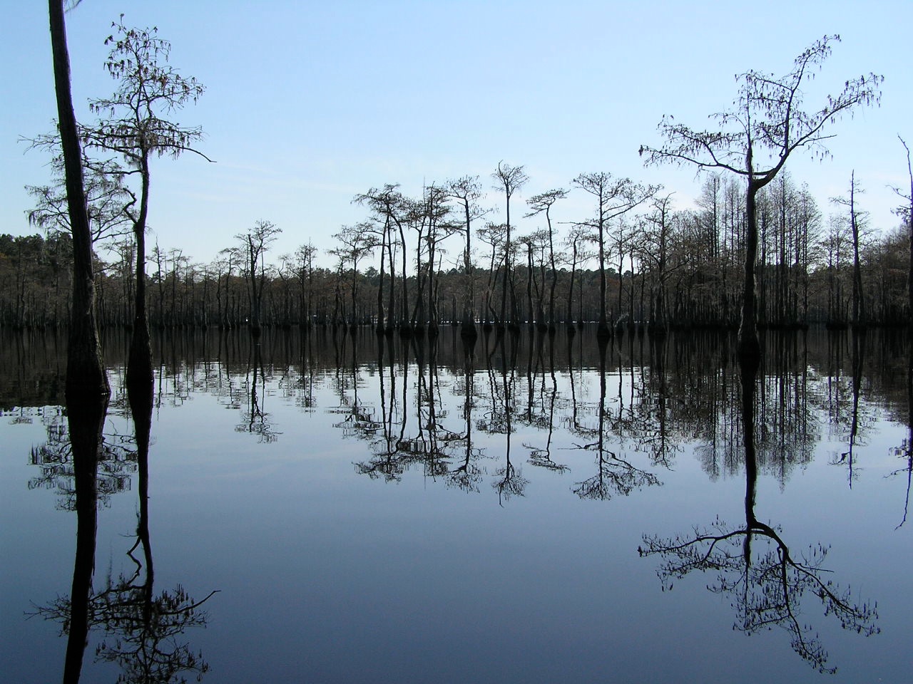
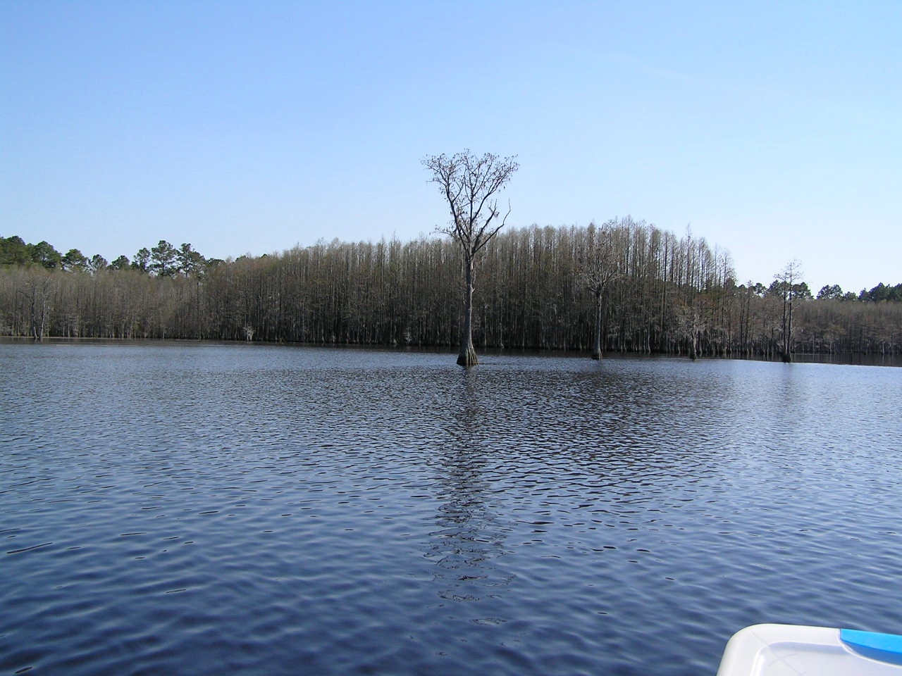
Watson Pond, Explore #420 on November 16, 2014
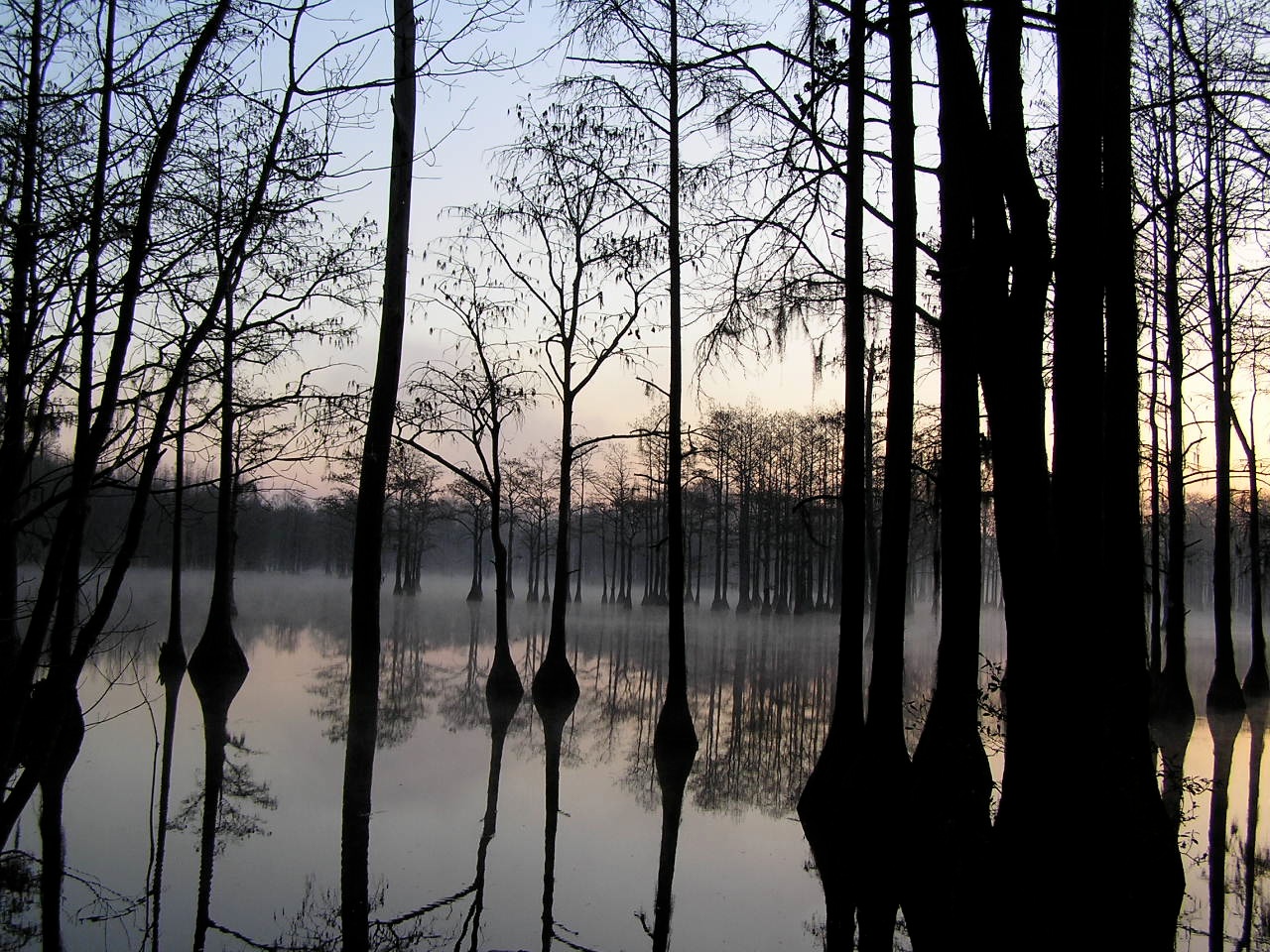
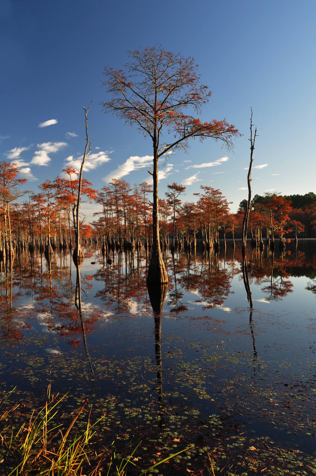
Pond Cypress with pink sky
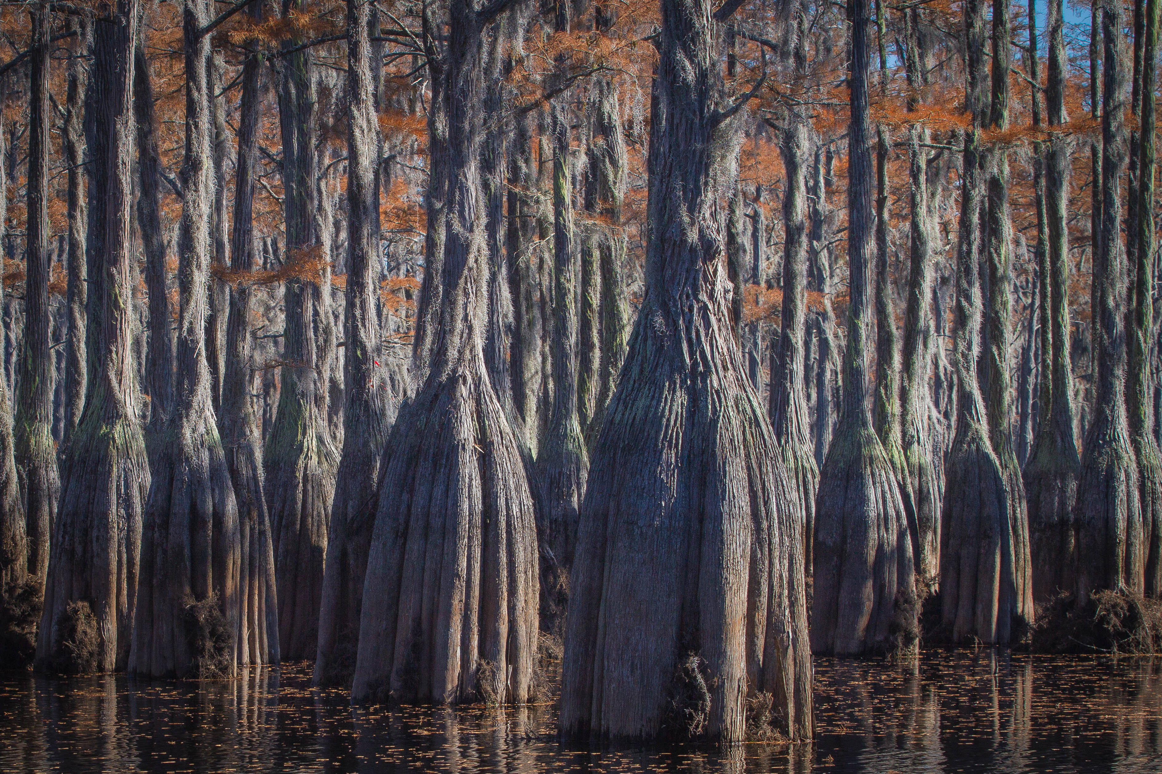
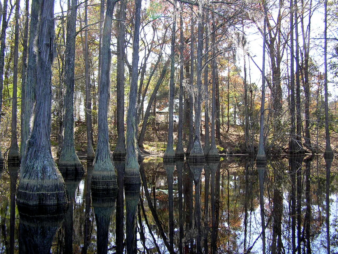
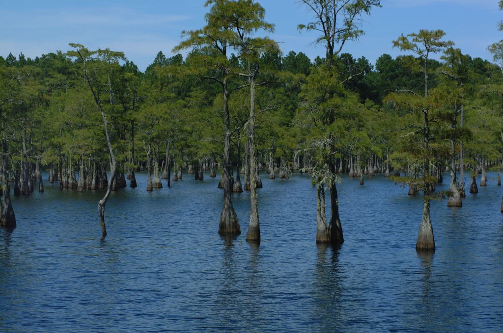
Cypress here to there

George L Smith18

George L Smith28

Watson Pond: Explore #378 on November 16, 2014
George L Smith29
George L Smith26
George L Smith16
George L Smith24
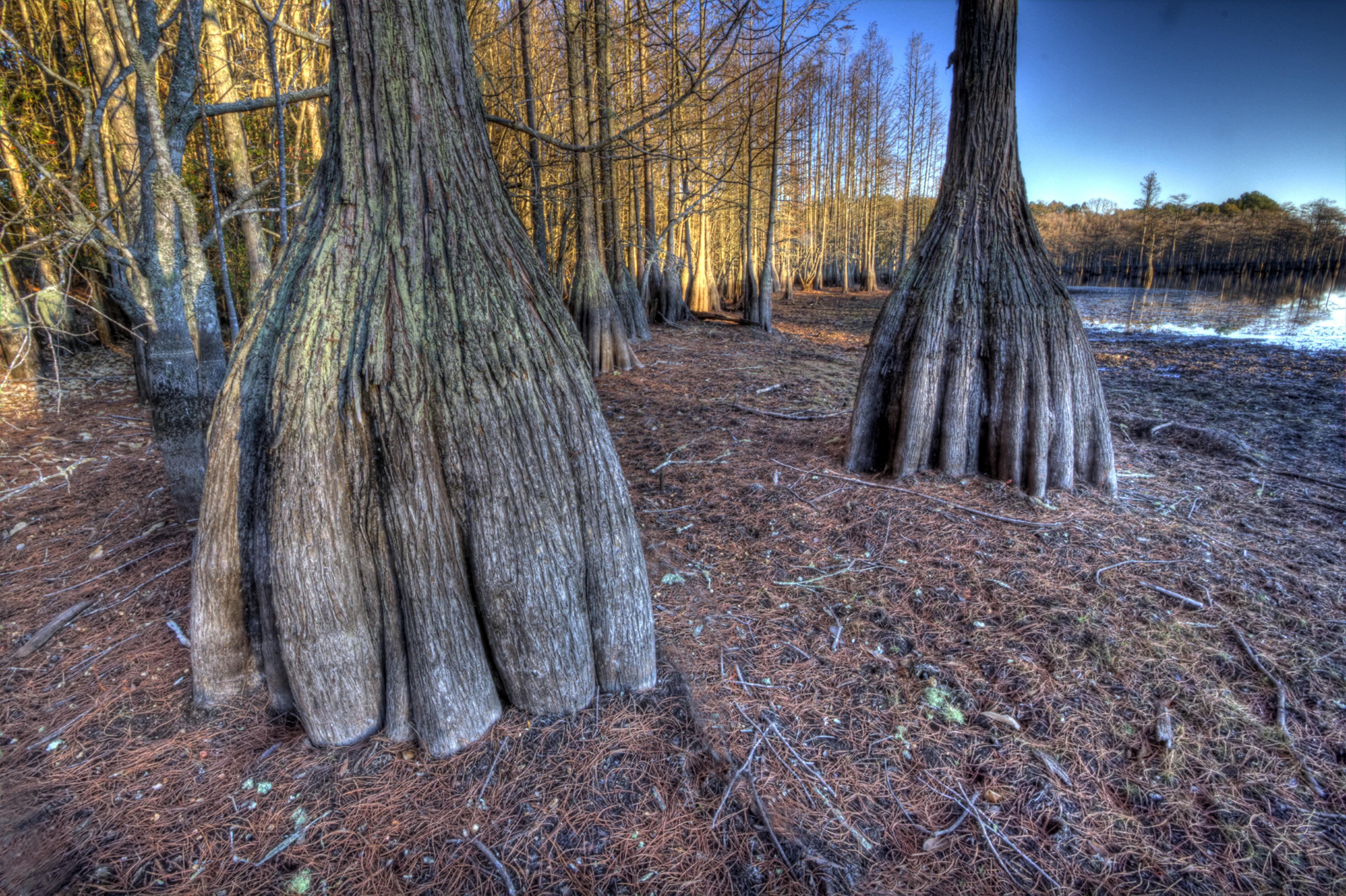
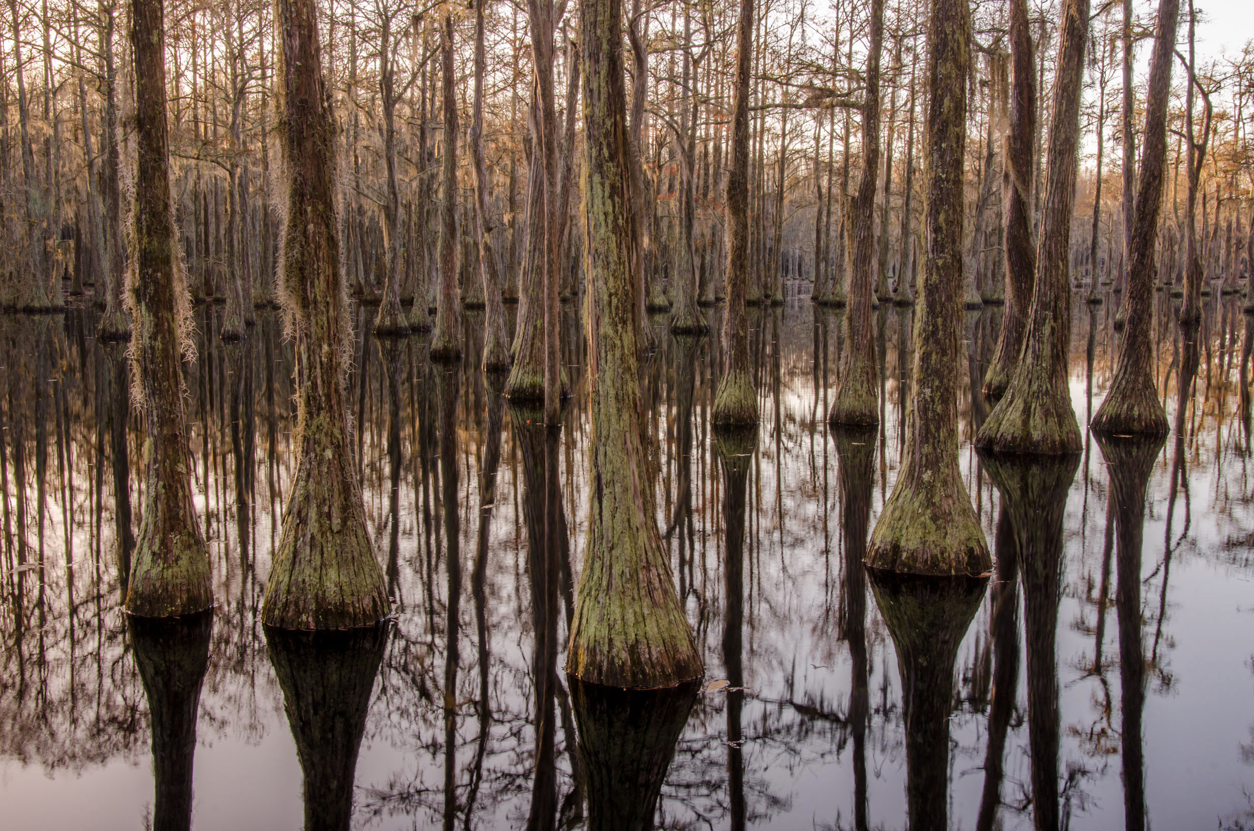
Cypress trunks exposed.

George L Smith21
George L Smith20
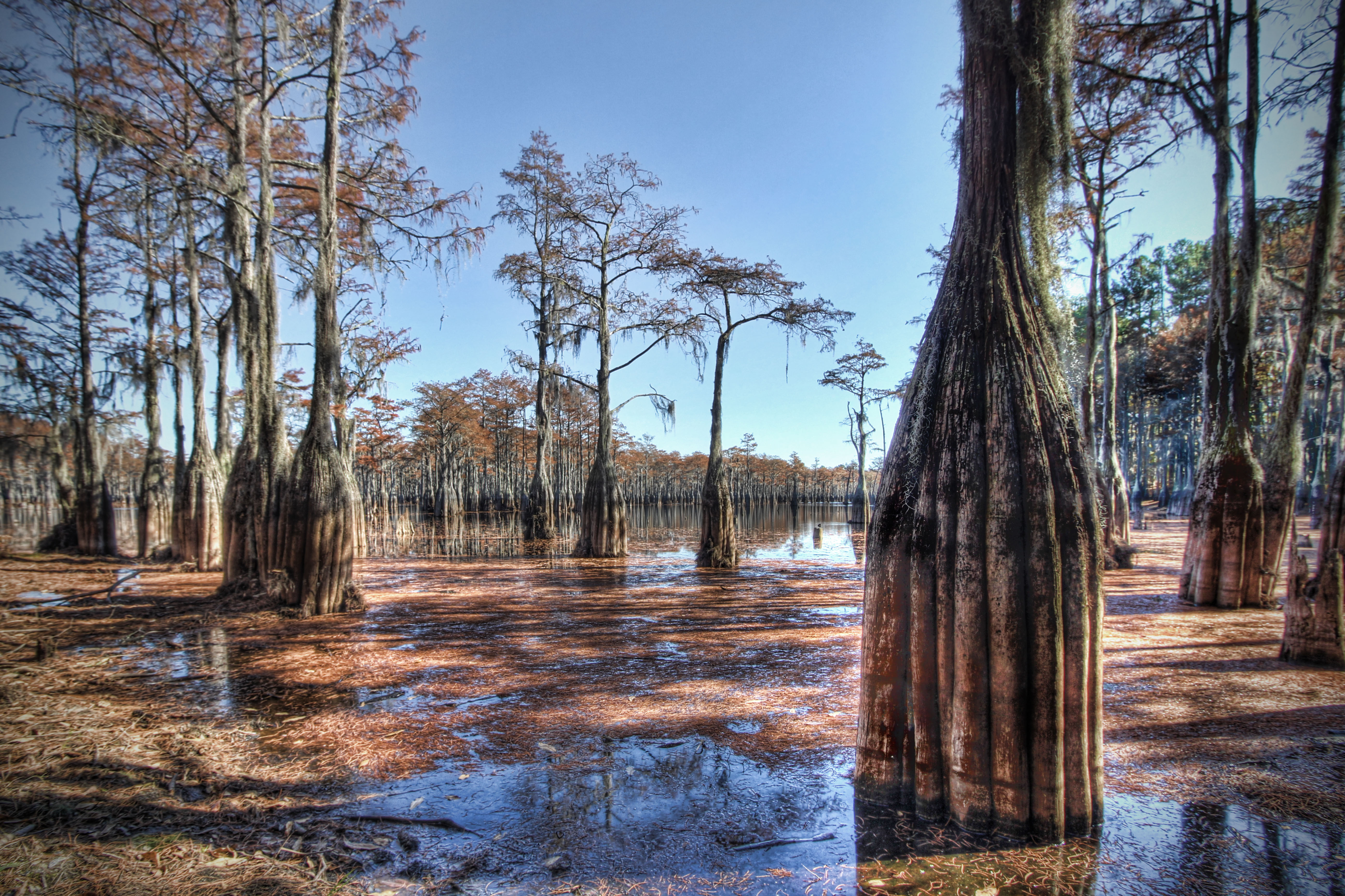
Water-filled
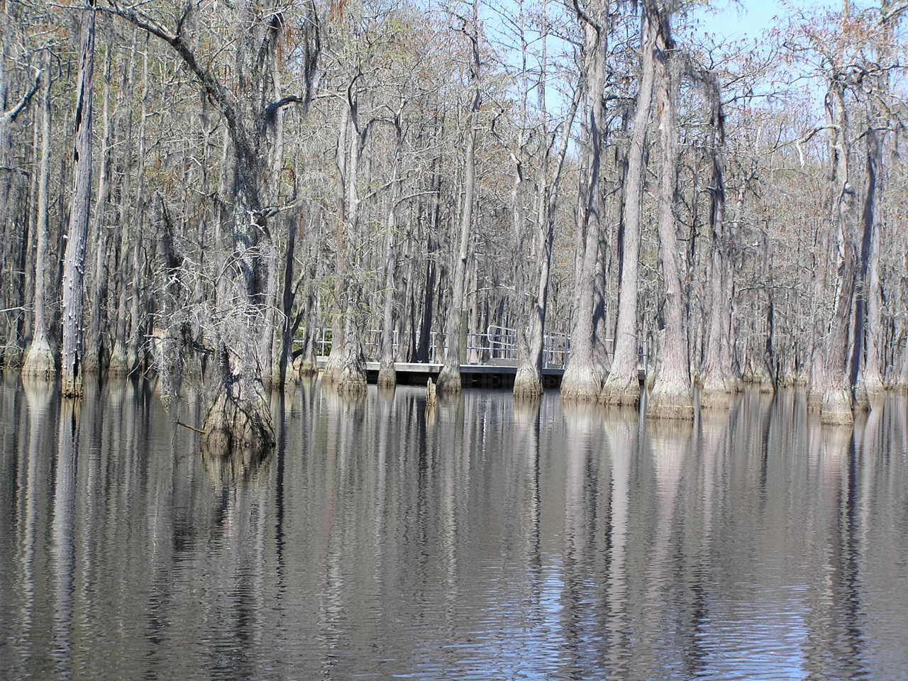
George L. Smith State Park

George L. Smith State Park
George L. Smith State Park
George L Smith State Park
George L Smith19
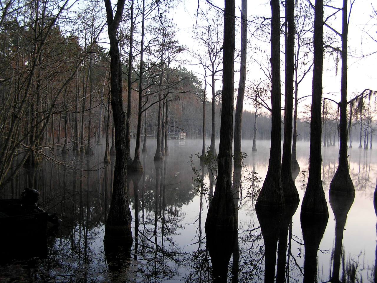
Morning in the Swamp
Topographic Map of 80 Oglesby Pond Rd, Portal, GA, USA
Find elevation by address:

Places near 80 Oglesby Pond Rd, Portal, GA, USA:
Aaron Station Rd, Portal, GA, USA
Portal
N Grady St, Portal, GA, USA
804 Foxboro Ln
857 Foxboro Ln
Sid Lanier Road
Sid Lanier Road
US-80, Statesboro, GA, USA
217 Tavern Ln
Lans Ln, Millen, GA, USA
Rosemary Church Rd, Metter, GA, USA
Akins Pond Rd, Statesboro, GA, USA
George L. Smith State Park
518 Fox Court Path
Garfield
Pulaski
Main St, Metter, GA, USA
Thrift Rd, Millen, GA, USA
2513 Wateringhole Ct
Honeysuckle Ln, Statesboro, GA, USA
Recent Searches:
- Elevation of Jalan Senandin, Lutong, Miri, Sarawak, Malaysia
- Elevation of Bilohirs'k
- Elevation of 30 Oak Lawn Dr, Barkhamsted, CT, USA
- Elevation of Luther Road, Luther Rd, Auburn, CA, USA
- Elevation of Unnamed Road, Respublika Severnaya Osetiya — Alaniya, Russia
- Elevation of Verkhny Fiagdon, North Ossetia–Alania Republic, Russia
- Elevation of F. Viola Hiway, San Rafael, Bulacan, Philippines
- Elevation of Herbage Dr, Gulfport, MS, USA
- Elevation of Lilac Cir, Haldimand, ON N3W 2G9, Canada
- Elevation of Harrod Branch Road, Harrod Branch Rd, Kentucky, USA