Elevation of Rosemary Church Rd, Metter, GA, USA
Location: United States > Georgia > Candler County > Metter >
Longitude: -82.096366
Latitude: 32.4942013
Elevation: 76m / 249feet
Barometric Pressure: 100KPa
Elevation Map:
Satellite Map:
Related Photos:

My house, view from street

Chapel Interior View

Pond Cypress with pink sky

Emanuel County

Bulloch County

You'll have to wait. The dance floor is full.

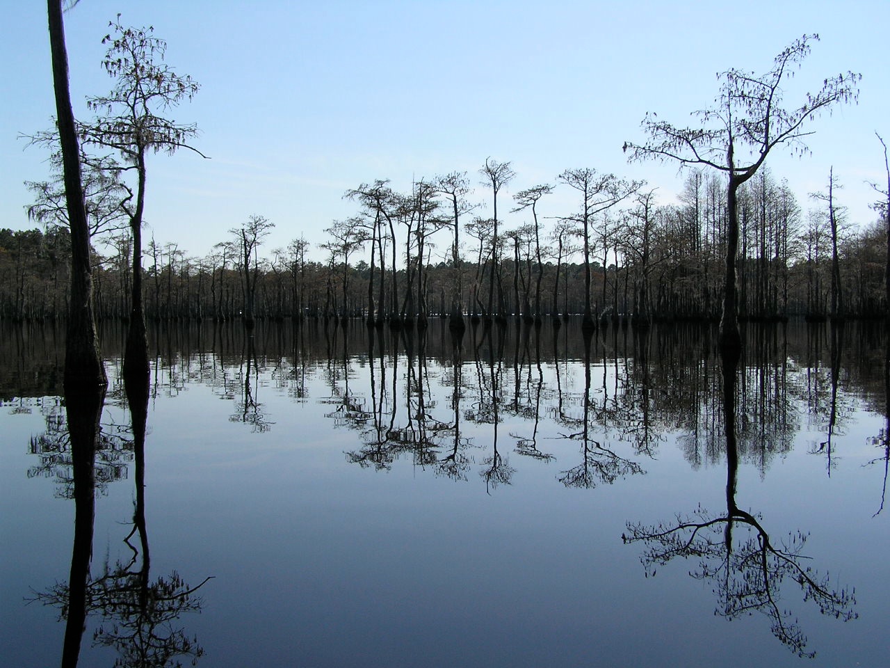
Watson Pond, Explore #420 on November 16, 2014

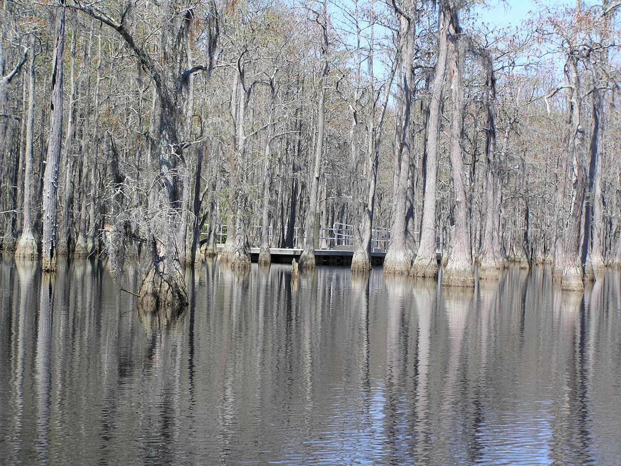
Cypress here to there

George L Smith18

George L Smith28

Watson Pond: Explore #378 on November 16, 2014

George L Smith29

George L Smith26
George L Smith16

Dirt Road - Candler County

Old Homestead - Candler County
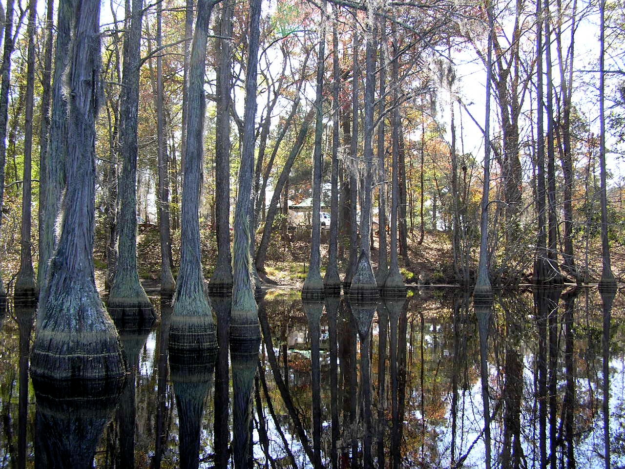
George L Smith24
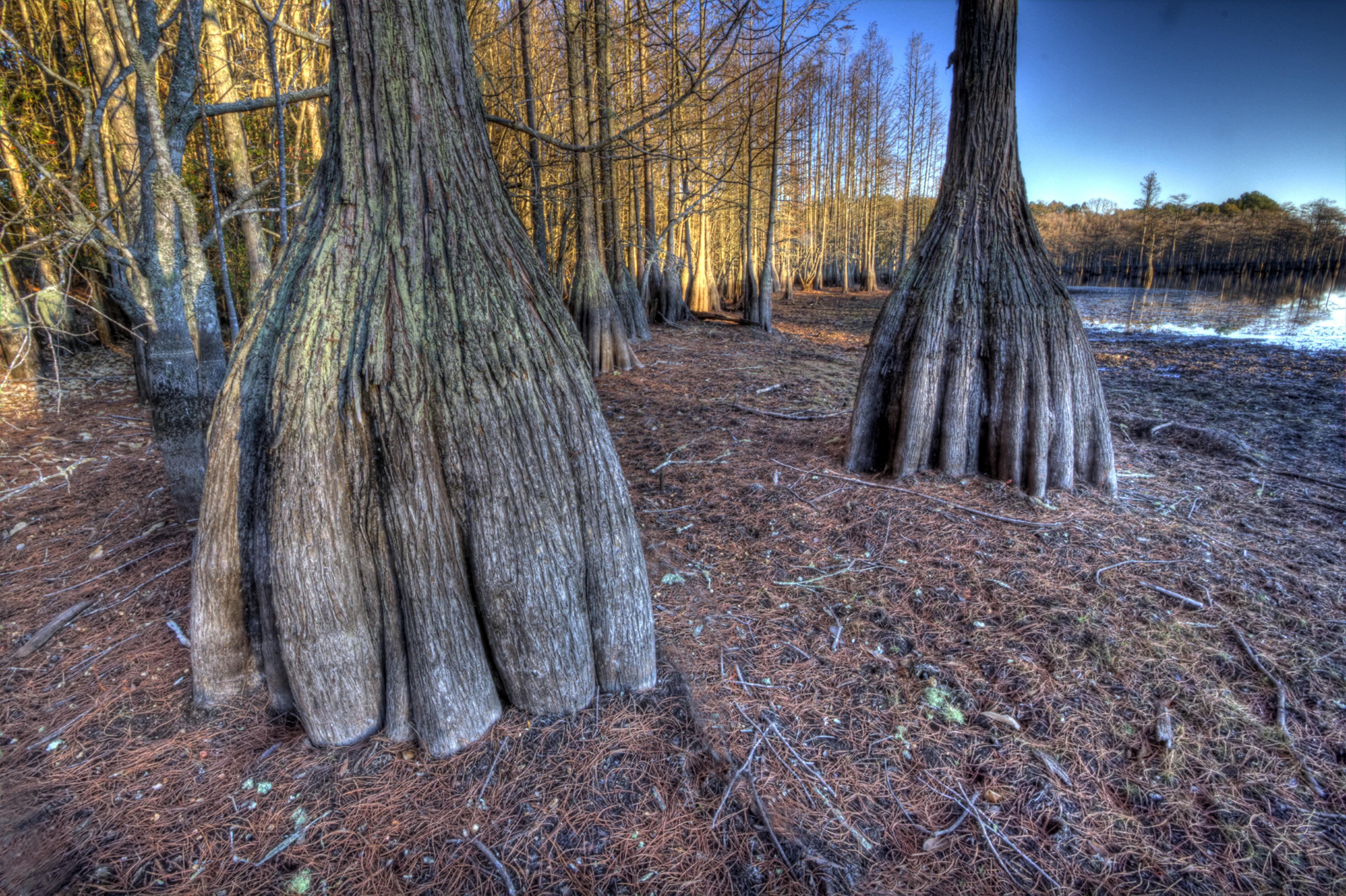
Cypress trunks exposed.

George L Smith21
George L Smith20

Water-filled

George L. Smith State Park

George L. Smith State Park
Topographic Map of Rosemary Church Rd, Metter, GA, USA
Find elevation by address:

Places near Rosemary Church Rd, Metter, GA, USA:
George L. Smith State Park
Candler County
Stillmore Hwy, Metter, GA, USA
Central Ave, Metter, GA, USA
Metter
Twin City
857 Foxboro Ln
804 Foxboro Ln
2700 Airport Rd
Aaron Station Rd, Portal, GA, USA
Stillmore
S 2nd St, Stillmore, GA, USA
80 Oglesby Pond Rd, Portal, GA, USA
Garfield
Portal
N Grady St, Portal, GA, USA
Pulaski
Main St, Metter, GA, USA
1255 Morgan Rd
Canoochee Garfield Rd, Twin City, GA, USA
Recent Searches:
- Elevation of W Granada St, Tampa, FL, USA
- Elevation of Pykes Down, Ivybridge PL21 0BY, UK
- Elevation of Jalan Senandin, Lutong, Miri, Sarawak, Malaysia
- Elevation of Bilohirs'k
- Elevation of 30 Oak Lawn Dr, Barkhamsted, CT, USA
- Elevation of Luther Road, Luther Rd, Auburn, CA, USA
- Elevation of Unnamed Road, Respublika Severnaya Osetiya — Alaniya, Russia
- Elevation of Verkhny Fiagdon, North Ossetia–Alania Republic, Russia
- Elevation of F. Viola Hiway, San Rafael, Bulacan, Philippines
- Elevation of Herbage Dr, Gulfport, MS, USA