Elevation of El Cielo Mountain, New Mexico, USA
Location: United States > New Mexico > San Miguel County > Montezuma >
Longitude: -105.45251
Latitude: 35.734203
Elevation: 3024m / 9921feet
Barometric Pressure: 70KPa
Elevation Map:
Satellite Map:
Related Photos:
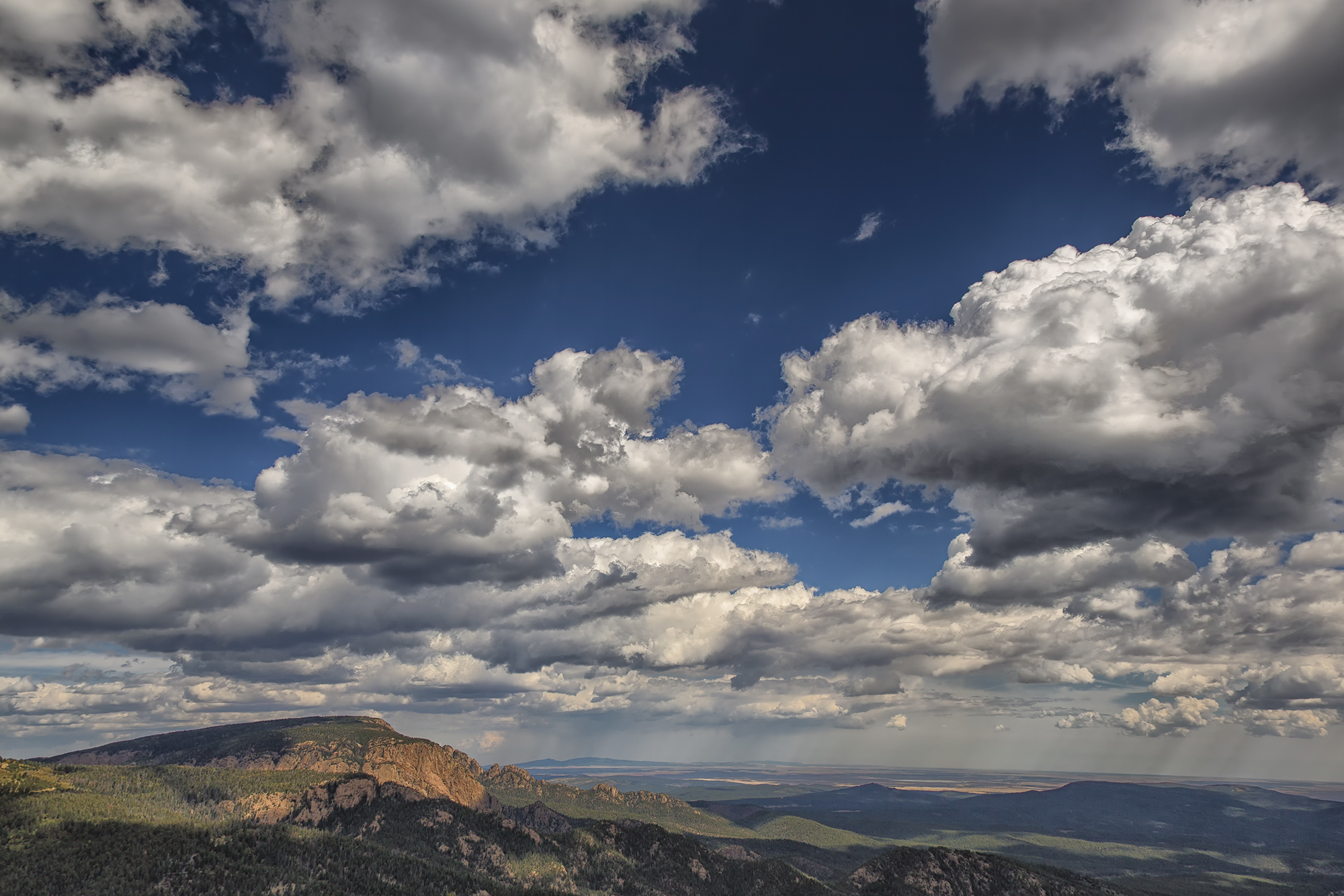
Hermit Peak and the Turkey Mountains from Johnson Mesa
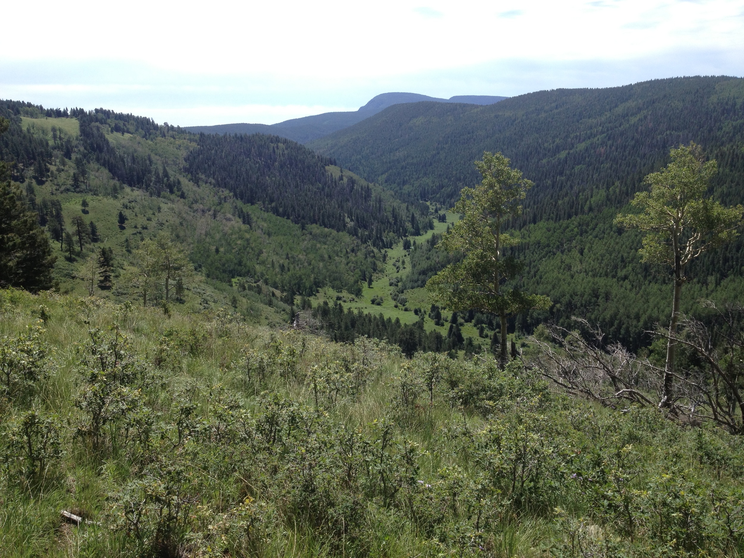
Lone Pine Meadow view from the north
Topographic Map of El Cielo Mountain, New Mexico, USA
Find elevation by address:

Places near El Cielo Mountain, New Mexico, USA:
Hermit Peak
1 Christian Camp Dr
El Porvenir Campground
30 E Meadow Ln
El Porvenir
Lone Pine Mesa
21 Alta Vista
Rociada
9 Twin Ponds Ln
302 State Rte 105
State Route 105
1817 Falls Creek Rd
County Road A18a
San Geronimo Cabo Lucero Fire Department
7 St Joseph Dr
Montezuma
111 Co Rd A1
111 Co Rd A1
111 Co Rd A1
111 Co Rd A1
Recent Searches:
- Elevation of Corso Fratelli Cairoli, 35, Macerata MC, Italy
- Elevation of Tallevast Rd, Sarasota, FL, USA
- Elevation of 4th St E, Sonoma, CA, USA
- Elevation of Black Hollow Rd, Pennsdale, PA, USA
- Elevation of Oakland Ave, Williamsport, PA, USA
- Elevation of Pedrógão Grande, Portugal
- Elevation of Klee Dr, Martinsburg, WV, USA
- Elevation of Via Roma, Pieranica CR, Italy
- Elevation of Tavkvetili Mountain, Georgia
- Elevation of Hartfords Bluff Cir, Mt Pleasant, SC, USA