Elevation of El Porvenir Campground, Montezuma, NM, USA
Location: United States > New Mexico > San Miguel County > Montezuma >
Longitude: -105.41196
Latitude: 35.7102553
Elevation: 2289m / 7510feet
Barometric Pressure: 77KPa
Elevation Map:
Satellite Map:
Related Photos:
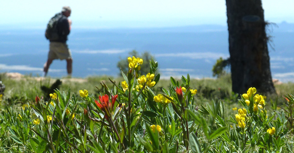
i walk among them
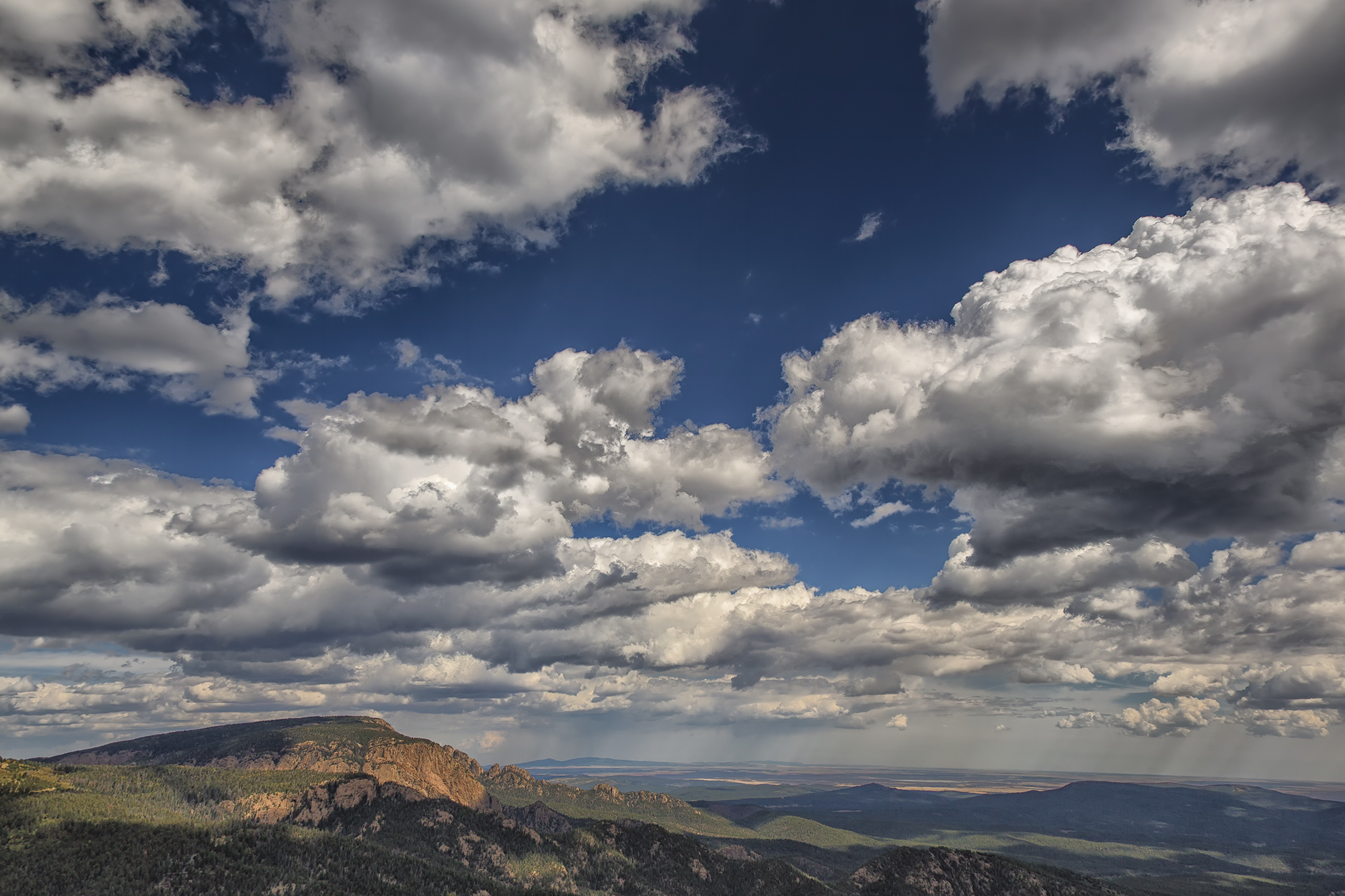
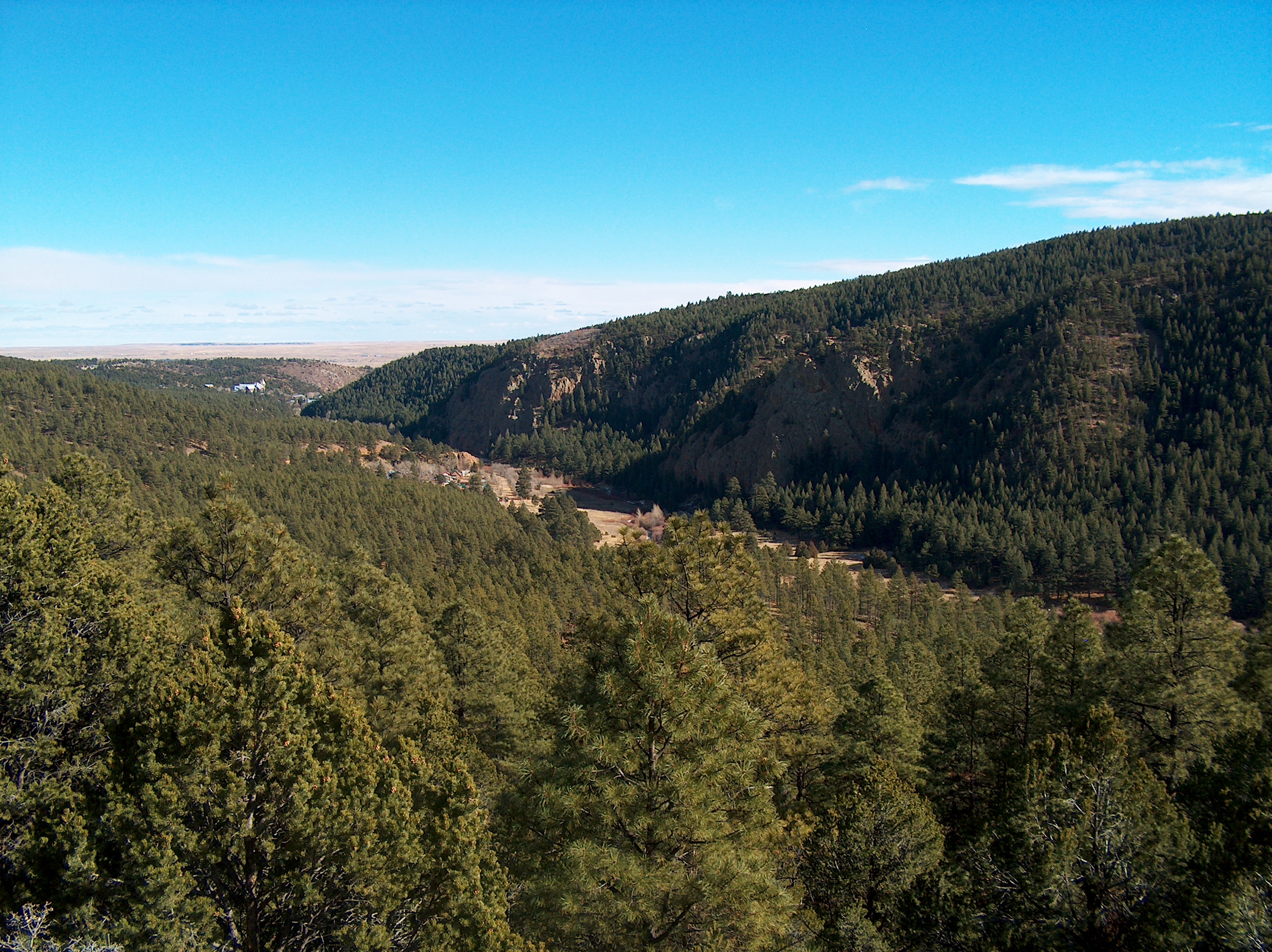
Hermit Peak and the Turkey Mountains from Johnson Mesa
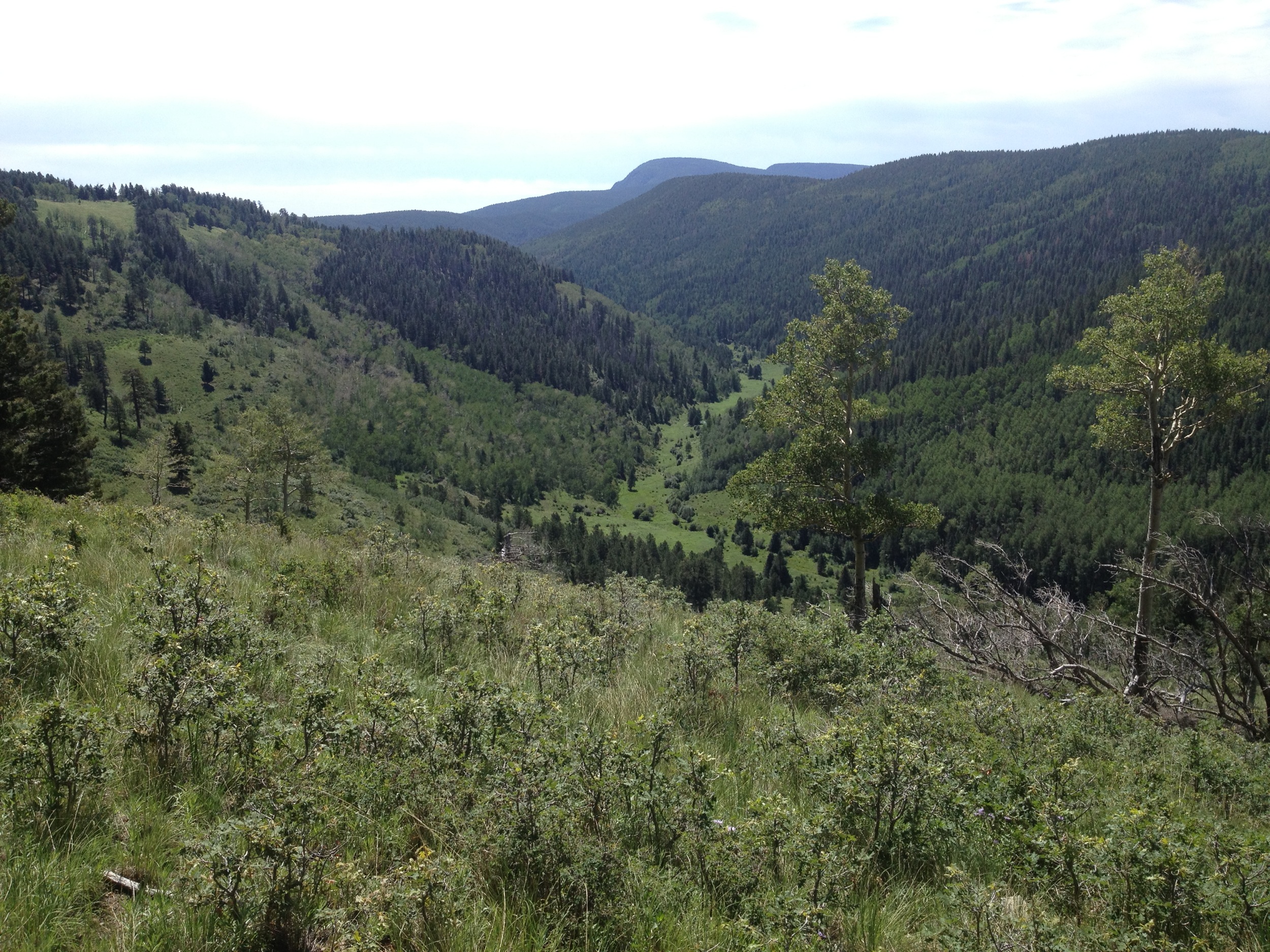
Lone Pine Meadow view from the north
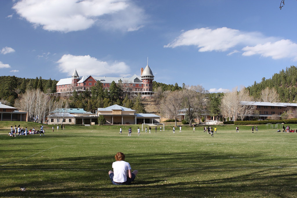
Gareth has a Great View of the Game
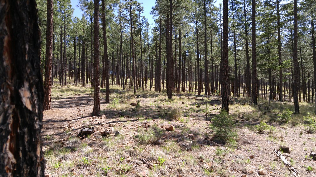
Living among the pines
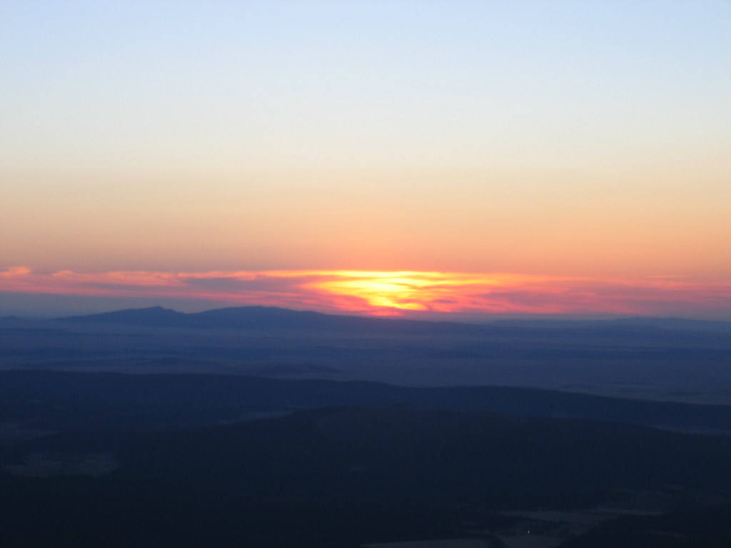
Sunrise on Hermit's Peak
Goodbye New Mexico.
Las Vegas
Las Vegas
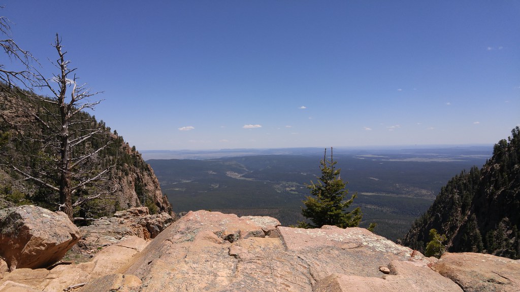
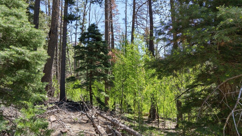
Photos from Hermits Peak hike

Las Vegas

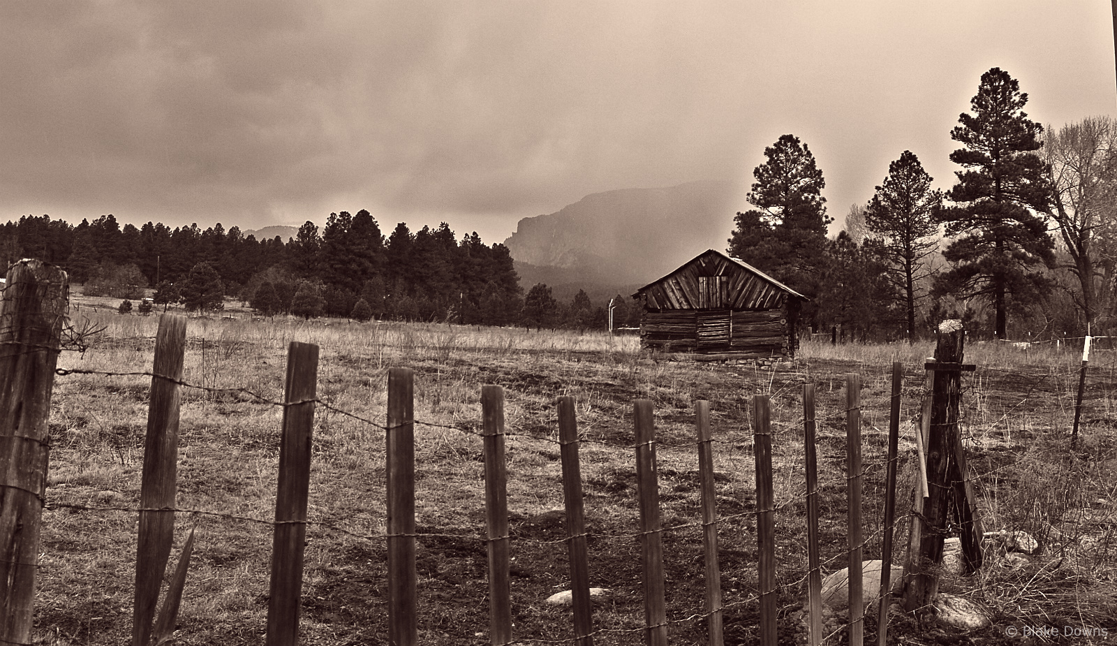
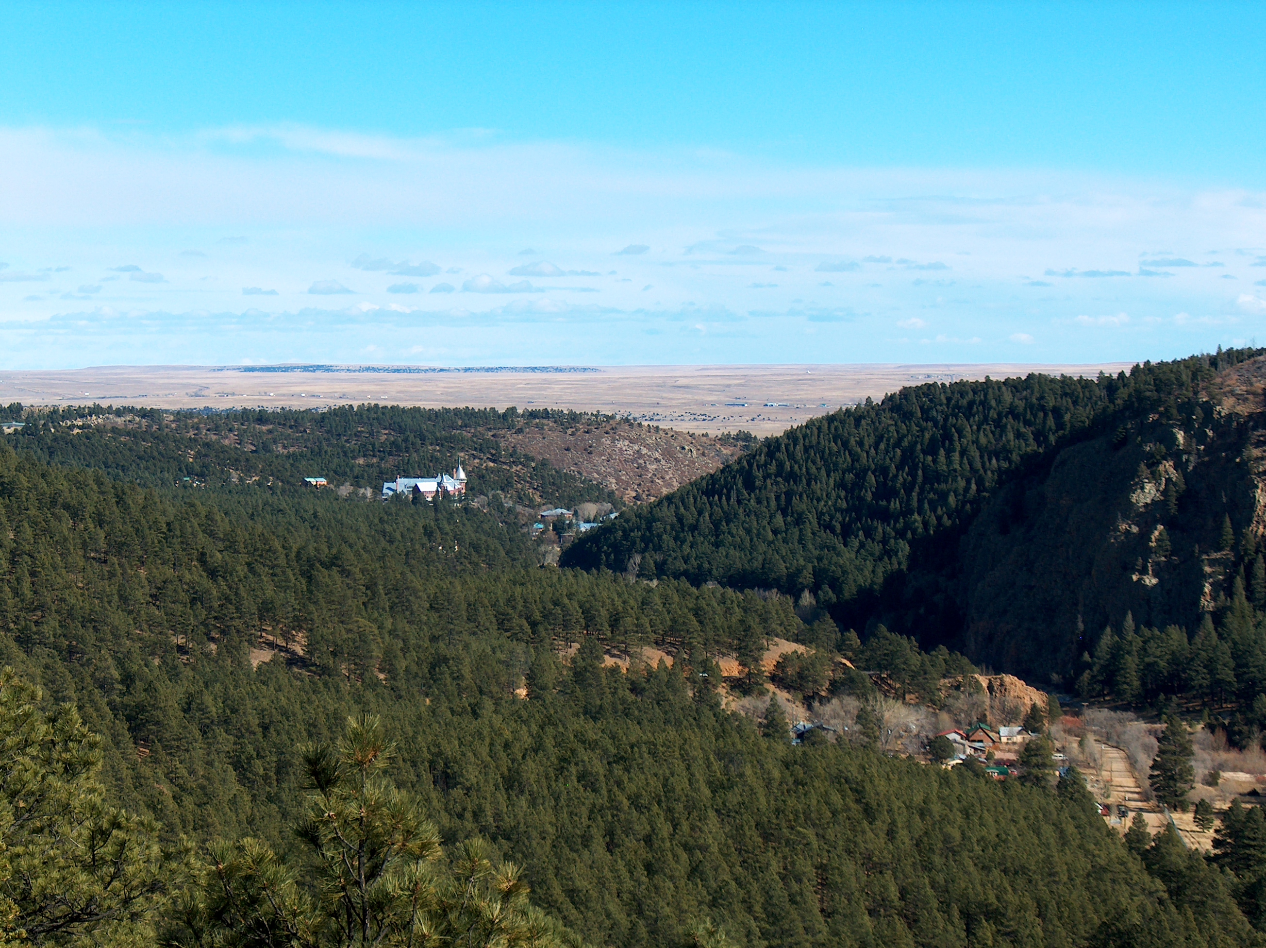
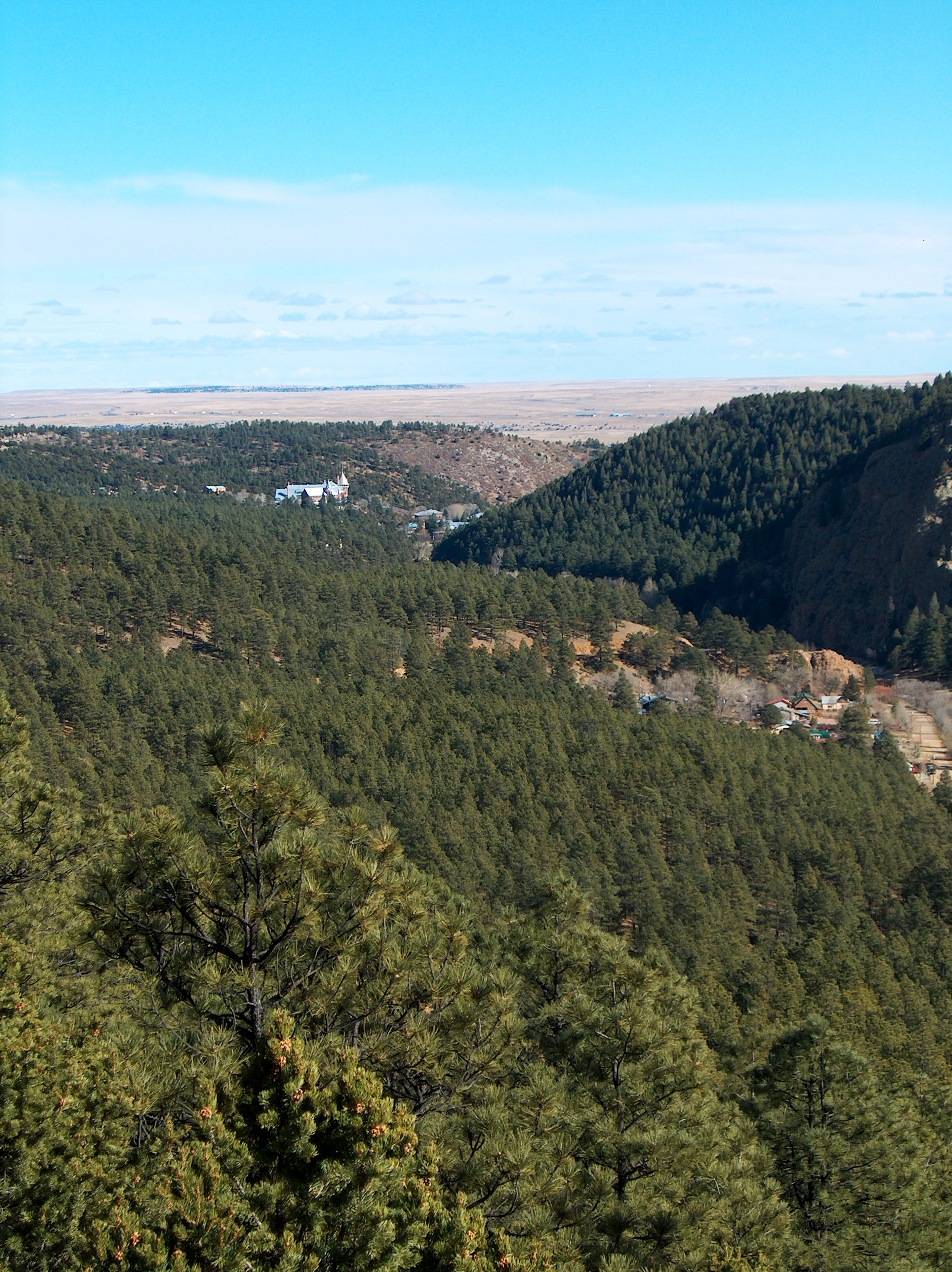
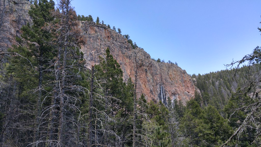
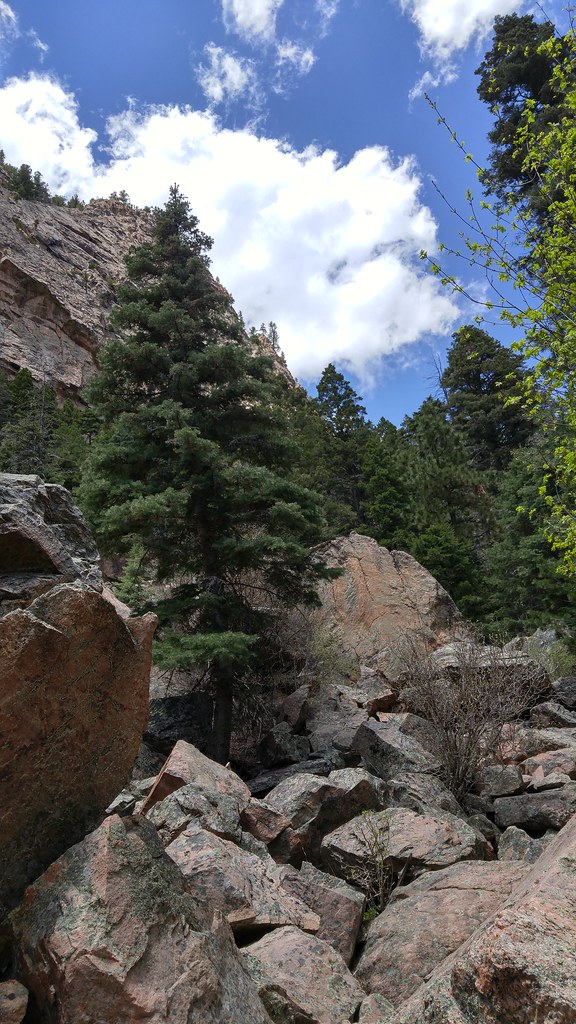
El Porvenir canyon from a distance
Photos from Hermits Peak hike
Las Vegas

Photos from Hermits Peak hike
Photos from Hermits Peak hike
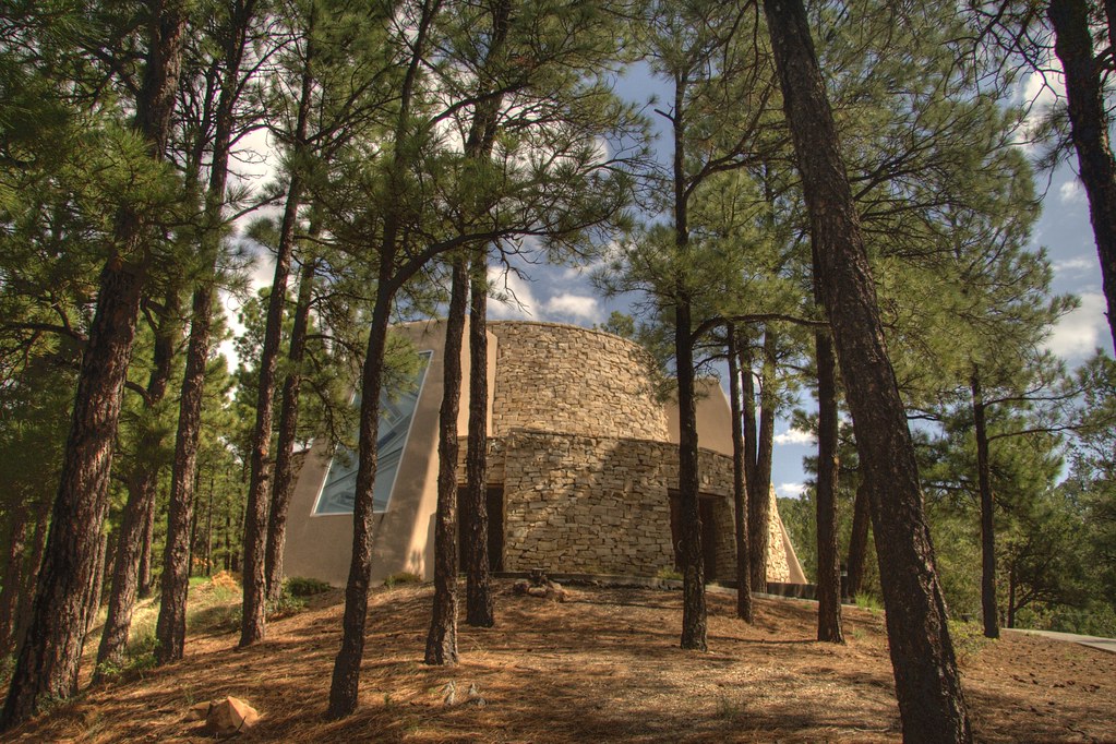
Dwan Light Sanctuary

Photos from Hermits Peak hike

Photos from Hermits Peak hike
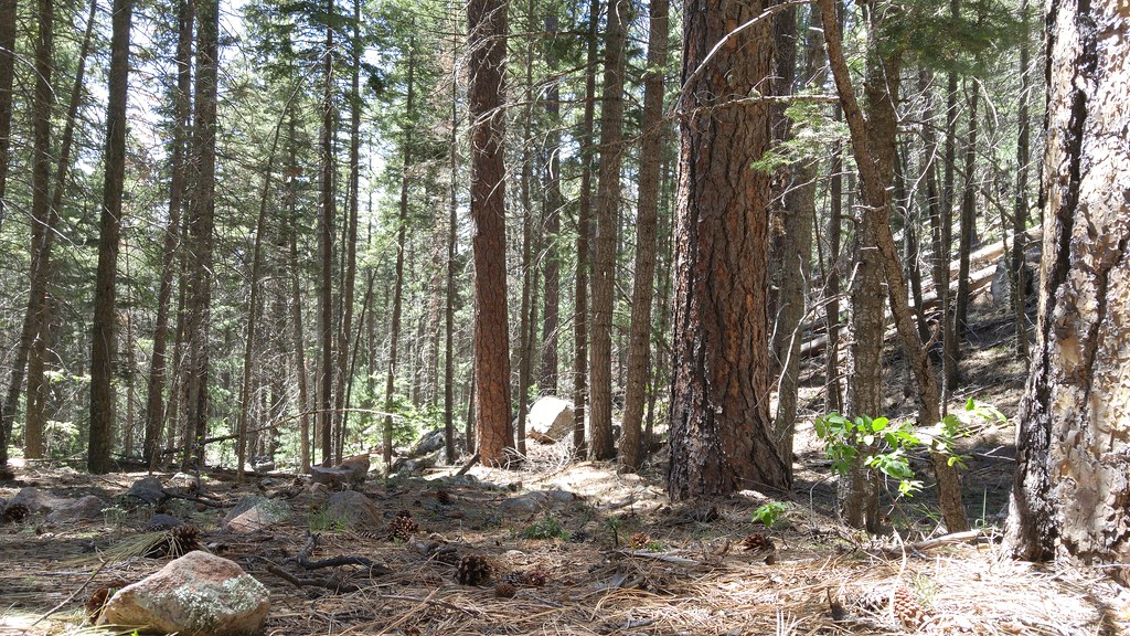
Photos from Hermits Peak hike
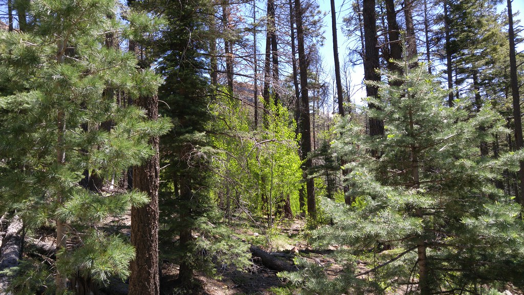
Photos from Hermits Peak hike

Photos from Hermits Peak hike
Photos from Hermits Peak hike
Photos from Hermits Peak hike
Topographic Map of El Porvenir Campground, Montezuma, NM, USA
Find elevation by address:

Places near El Porvenir Campground, Montezuma, NM, USA:
1 Christian Camp Dr
El Porvenir
Hermit Peak
El Cielo Mountain
9 Twin Ponds Ln
30 E Meadow Ln
1817 Falls Creek Rd
21 Alta Vista
County Road A18a
Lone Pine Mesa
San Geronimo Cabo Lucero Fire Department
Rociada
7 St Joseph Dr
302 State Rte 105
Montezuma
State Route 105
111 Co Rd A1
111 Co Rd A1
111 Co Rd A1
111 Co Rd A1
Recent Searches:
- Elevation of East W.T. Harris Boulevard, E W.T. Harris Blvd, Charlotte, NC, USA
- Elevation of West Sugar Creek, Charlotte, NC, USA
- Elevation of Wayland, NY, USA
- Elevation of Steadfast Ct, Daphne, AL, USA
- Elevation of Lagasgasan, X+CQH, Tiaong, Quezon, Philippines
- Elevation of Rojo Ct, Atascadero, CA, USA
- Elevation of Flagstaff Drive, Flagstaff Dr, North Carolina, USA
- Elevation of Avery Ln, Lakeland, FL, USA
- Elevation of Woolwine, VA, USA
- Elevation of Lumagwas Diversified Farmers Multi-Purpose Cooperative, Lumagwas, Adtuyon, RV32+MH7, Pangantucan, Bukidnon, Philippines