Elevation map of San Miguel County, NM, USA
Location: United States > New Mexico >
Longitude: -104.84546
Latitude: 35.5117793
Elevation: 1727m / 5666feet
Barometric Pressure: 82KPa
Elevation Map:
Satellite Map:
Related Photos:
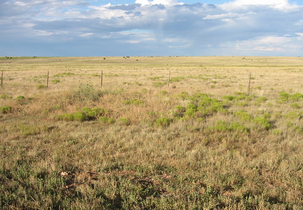
Trujillo, New Mexico
IMG_5648.jpg
IMG_5646.jpg
IMG_5648.jpg

IMG_5646.jpg

IMG_5647.jpg

Time To Saddle Up
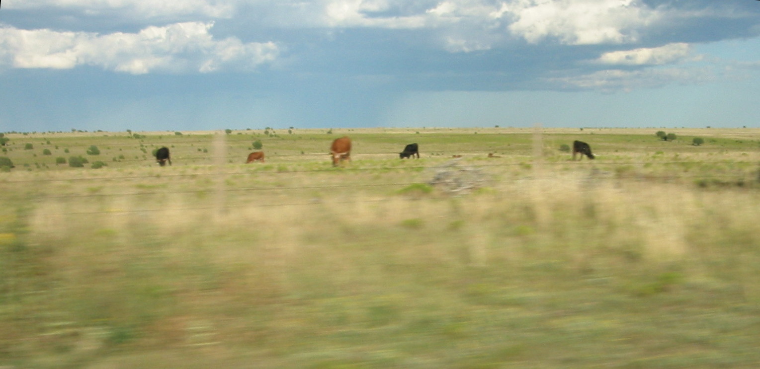
Getting Lost is half the fun

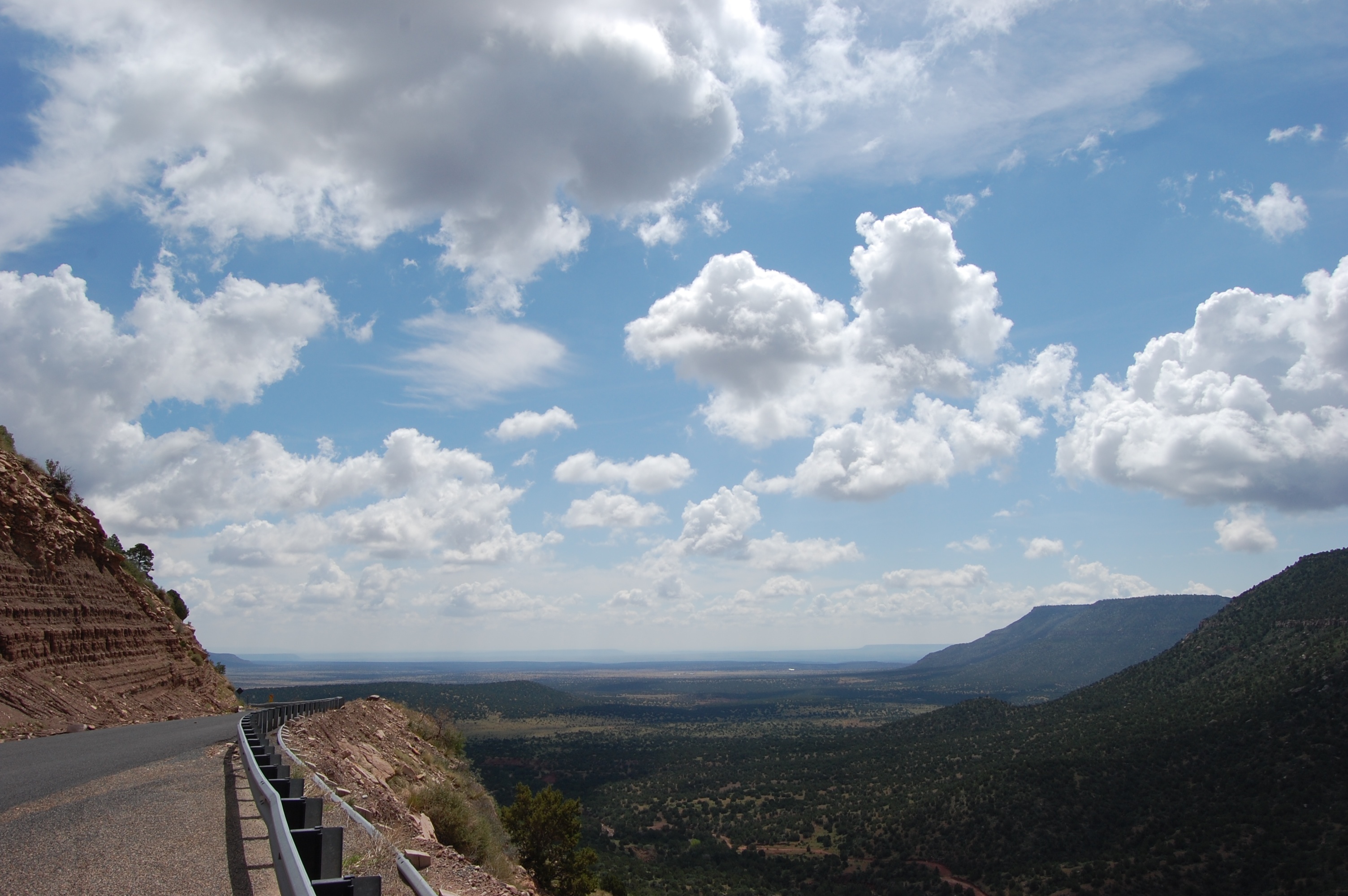
Street Gilde on the 104, New Mexico
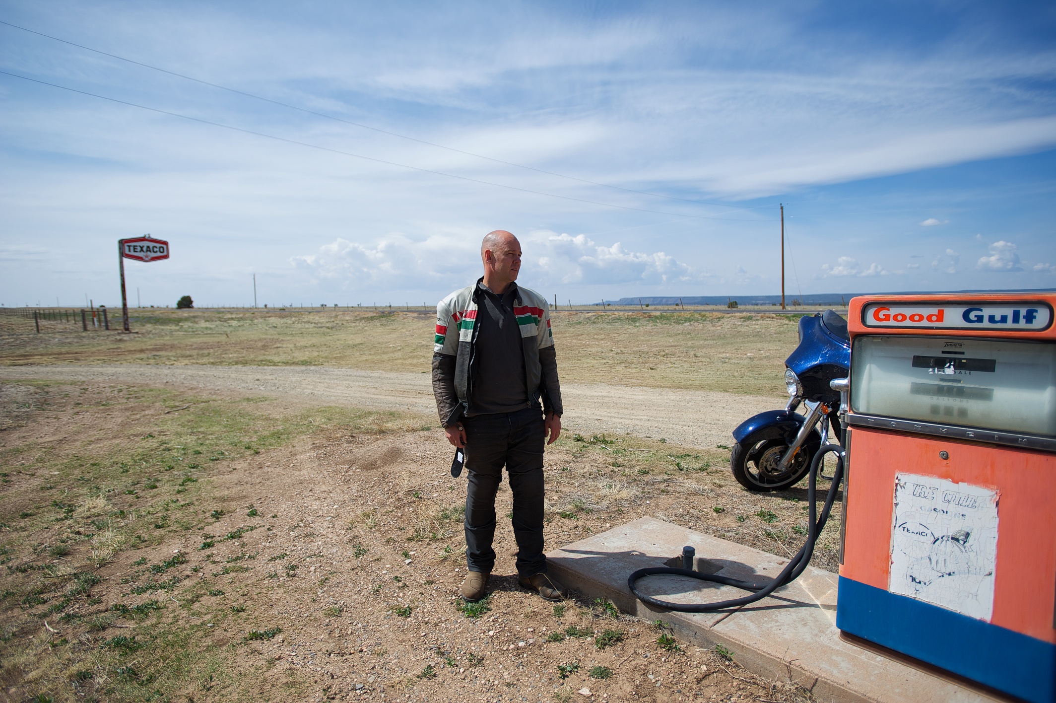
104 (1)
IMG_5649.jpg
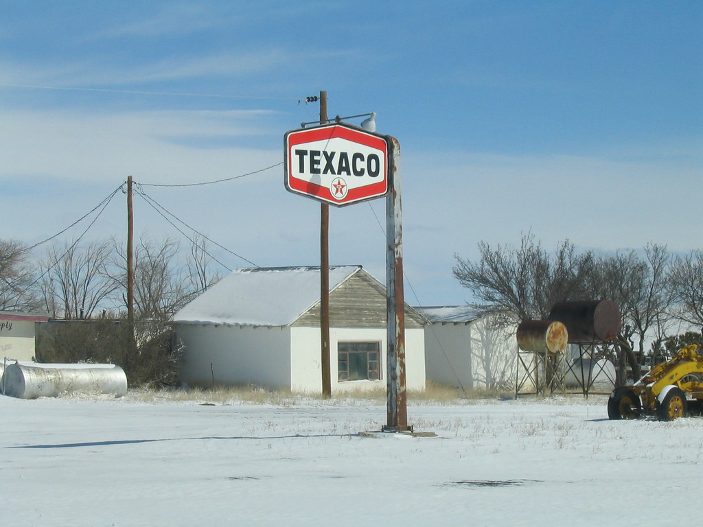
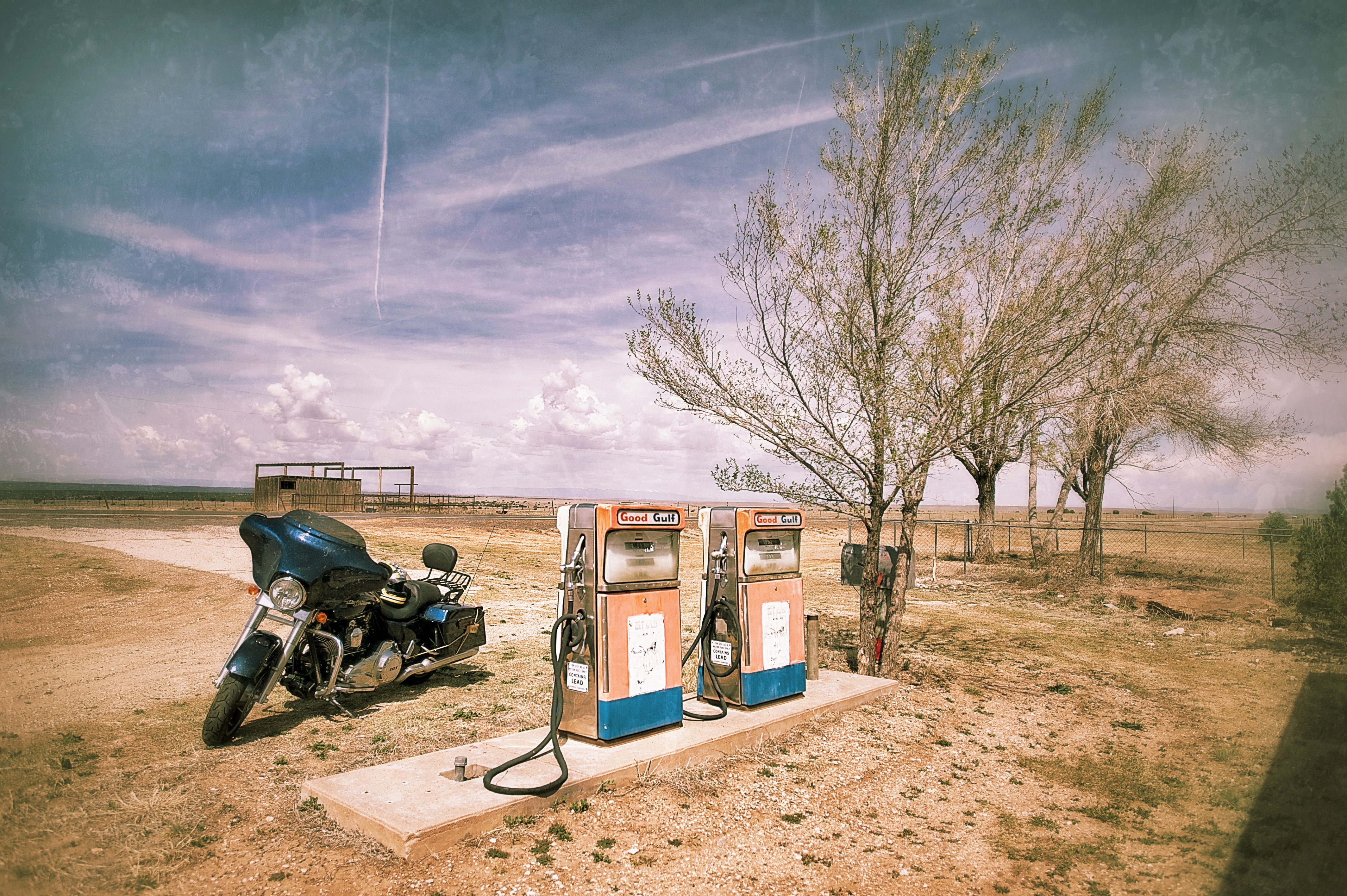
Texaco, somewhere in New Mexico
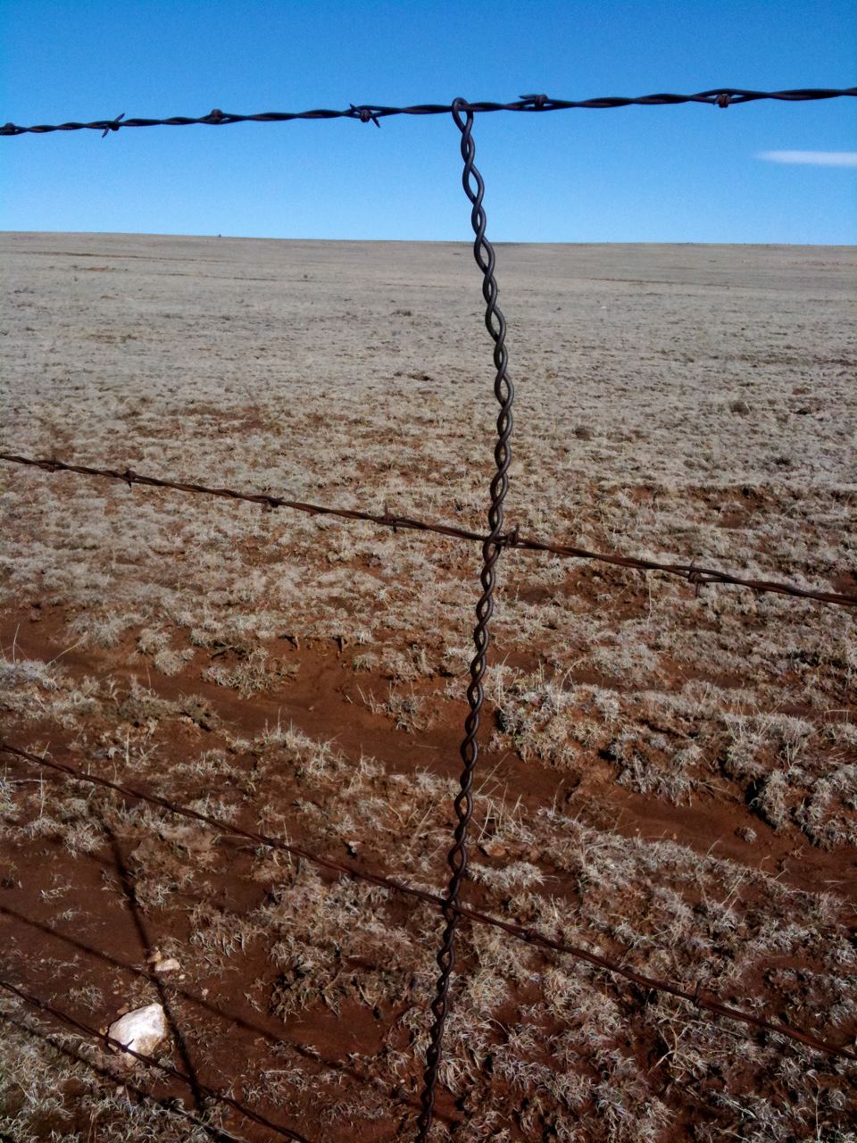
Barb Wire
Trujillo, New Mexico

IMG_5649.jpg
IMG_5647.jpg
Topographic Map of San Miguel County, NM, USA
Find elevation by address:

Places in San Miguel County, NM, USA:
Montezuma
Ribera
San Jose
Anton Chico
County Rd B41F, Ribera, NM, USA
Rowe
County Rd B26A, Serafina, NM, USA
Conchas Dam
Bell Ranch
Hooverville
Villanueva
El Cerrito
South San Ysidro
Places near San Miguel County, NM, USA:
NM-, Las Vegas, NM, USA
3046 Nm-104
Montosa
Las Vegas Municipal Airport
Apache Mesa Road
N Grand Ave, Las Vegas, NM, USA
600 Grand Ave
931 Jackson St
104 Legion Dr
Las Vegas Nm
County Rd 4 KJ, La Loma, NM, USA
407 11th St
407 11th St
407 11th St
407 11th St
New Mexico Highlands University
12th St & Jackson St
12th St & Jackson St
12th St & Jackson St
1051 6th St
Recent Searches:
- Elevation of Corso Fratelli Cairoli, 35, Macerata MC, Italy
- Elevation of Tallevast Rd, Sarasota, FL, USA
- Elevation of 4th St E, Sonoma, CA, USA
- Elevation of Black Hollow Rd, Pennsdale, PA, USA
- Elevation of Oakland Ave, Williamsport, PA, USA
- Elevation of Pedrógão Grande, Portugal
- Elevation of Klee Dr, Martinsburg, WV, USA
- Elevation of Via Roma, Pieranica CR, Italy
- Elevation of Tavkvetili Mountain, Georgia
- Elevation of Hartfords Bluff Cir, Mt Pleasant, SC, USA