Elevation of Hooverville, NM, USA
Location: United States > New Mexico > San Miguel County >
Longitude: -104.21775
Latitude: 35.3761599
Elevation: 1284m / 4213feet
Barometric Pressure: 87KPa
Elevation Map:
Satellite Map:
Related Photos:
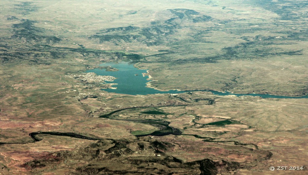
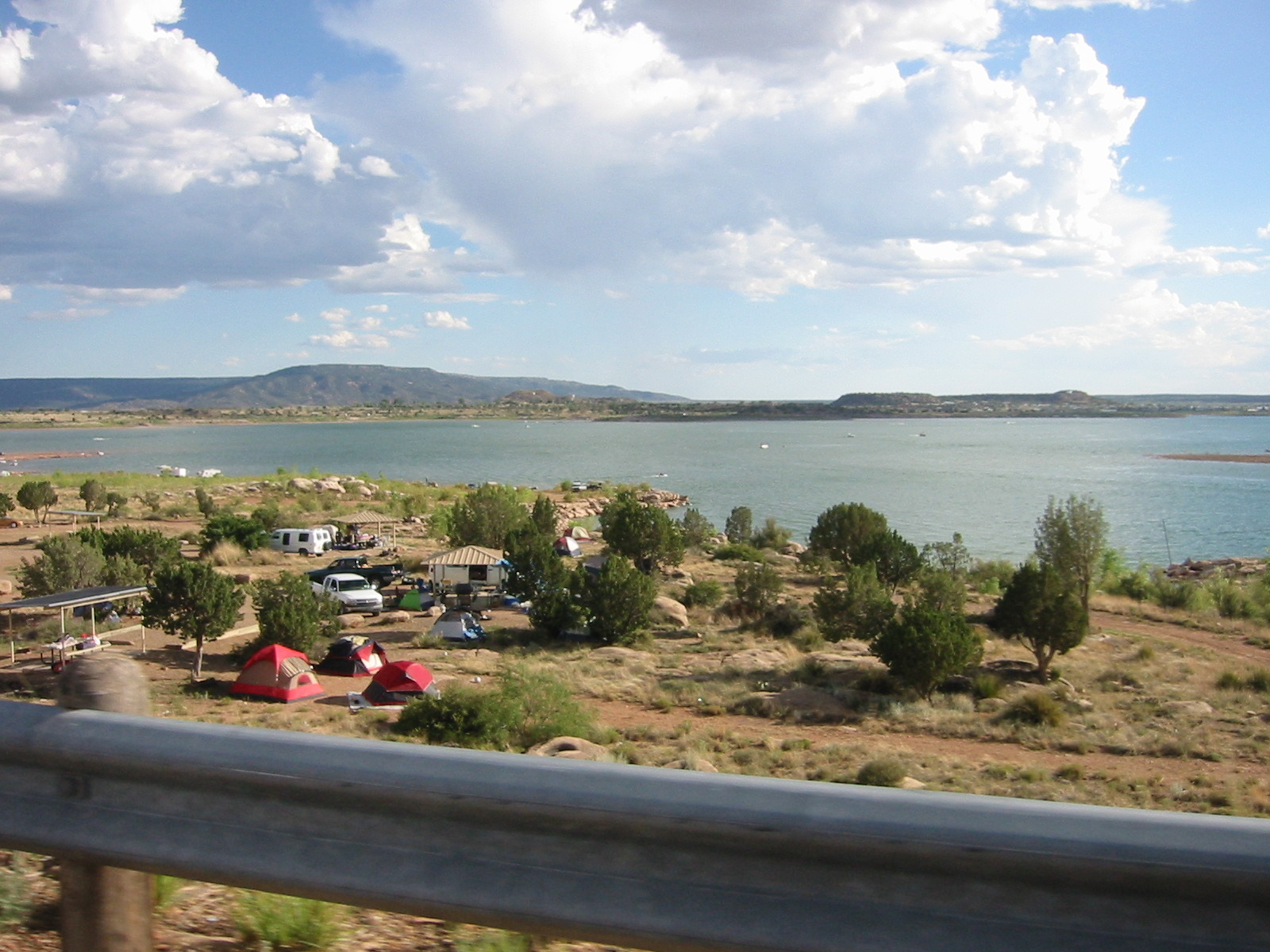
Conchas, NM
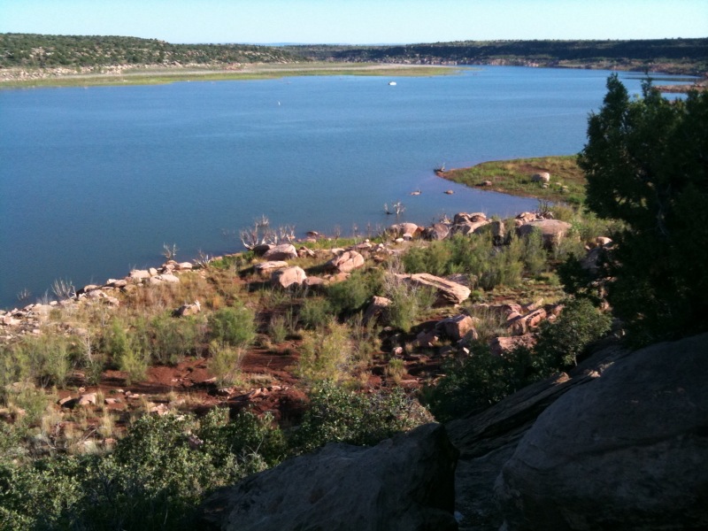
View from our campsite

Pectoral Sandpiper

1116-142813a
1116-142813

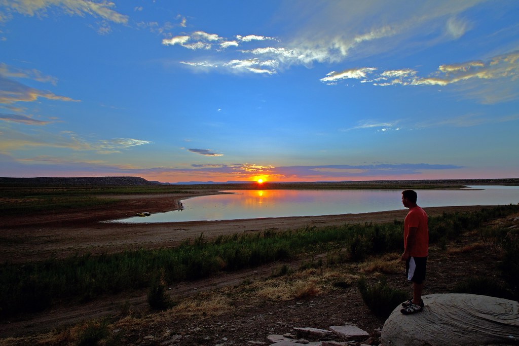
Lake Conchas
7/3/11 - 56/365
IMG_5641.jpg

IMG_5643.jpg
Topographic Map of Hooverville, NM, USA
Find elevation by address:

Places near Hooverville, NM, USA:
Conchas Dam
Bell Ranch
3046 Nm-104
NM-, Las Vegas, NM, USA
Montosa
Roy
San Miguel County
County Rd 4 KJ, La Loma, NM, USA
La Loma
Anton Chico
County Rd B45C, Anton Chico, NM, USA
Fort Union Ranch
Apache Mesa Road
Las Vegas Municipal Airport
N Grand Ave, Las Vegas, NM, USA
600 Grand Ave
104 Legion Dr
931 Jackson St
Las Vegas Nm
407 11th St
Recent Searches:
- Elevation of Woodland Oak Pl, Thousand Oaks, CA, USA
- Elevation of Brownsdale Rd, Renfrew, PA, USA
- Elevation of Corcoran Ln, Suffolk, VA, USA
- Elevation of Mamala II, Sariaya, Quezon, Philippines
- Elevation of Sarangdanda, Nepal
- Elevation of 7 Waterfall Way, Tomball, TX, USA
- Elevation of SW 57th Ave, Portland, OR, USA
- Elevation of Crocker Dr, Vacaville, CA, USA
- Elevation of Pu Ngaol Community Meeting Hall, HWHM+3X7, Krong Saen Monourom, Cambodia
- Elevation of Royal Ontario Museum, Queens Park, Toronto, ON M5S 2C6, Canada