Elevation of Villanueva, NM, USA
Location: United States > New Mexico > San Miguel County >
Longitude: -105.36133
Latitude: 35.266753
Elevation: 1790m / 5873feet
Barometric Pressure: 82KPa
Elevation Map:
Satellite Map:
Related Photos:
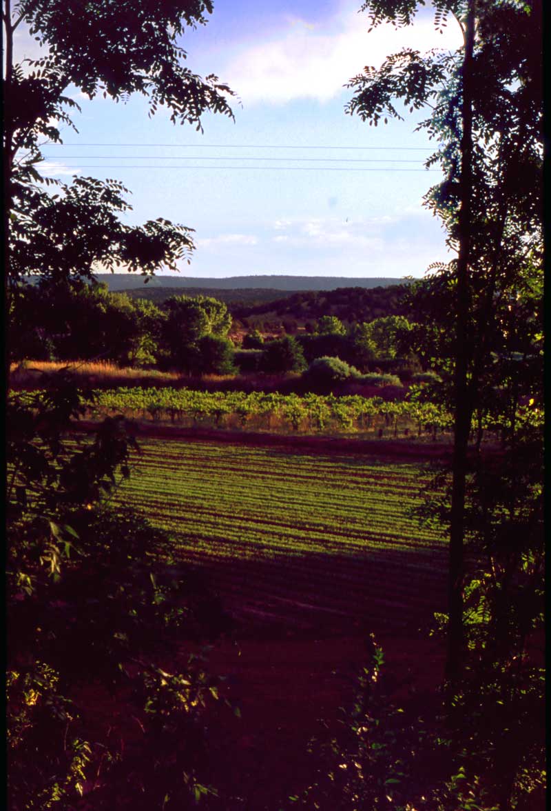
The Vineyard
They look good no matter what
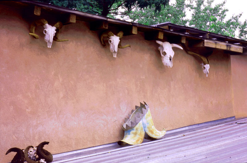
Courtyard View
Villanueava State Park
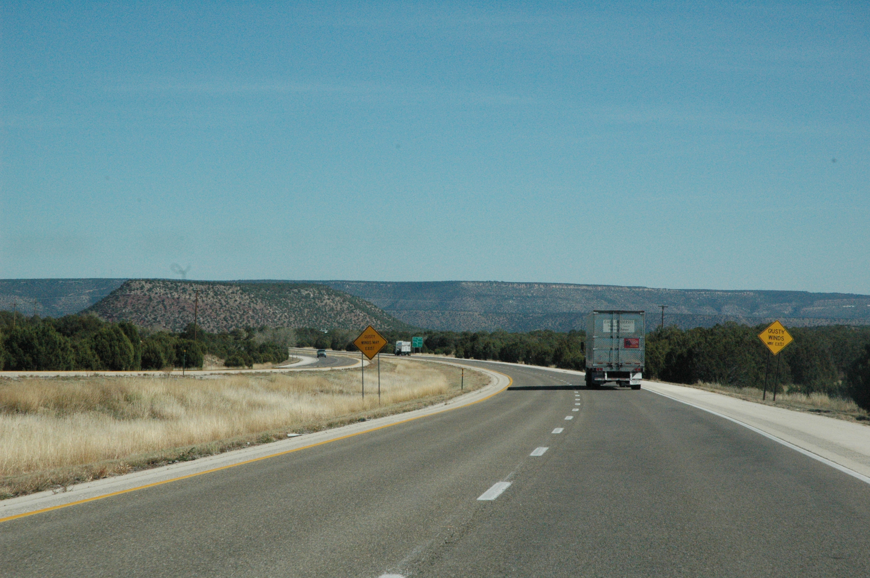
Interstate 25 from northern New Mexico

Interstate 25 from northern New Mexico
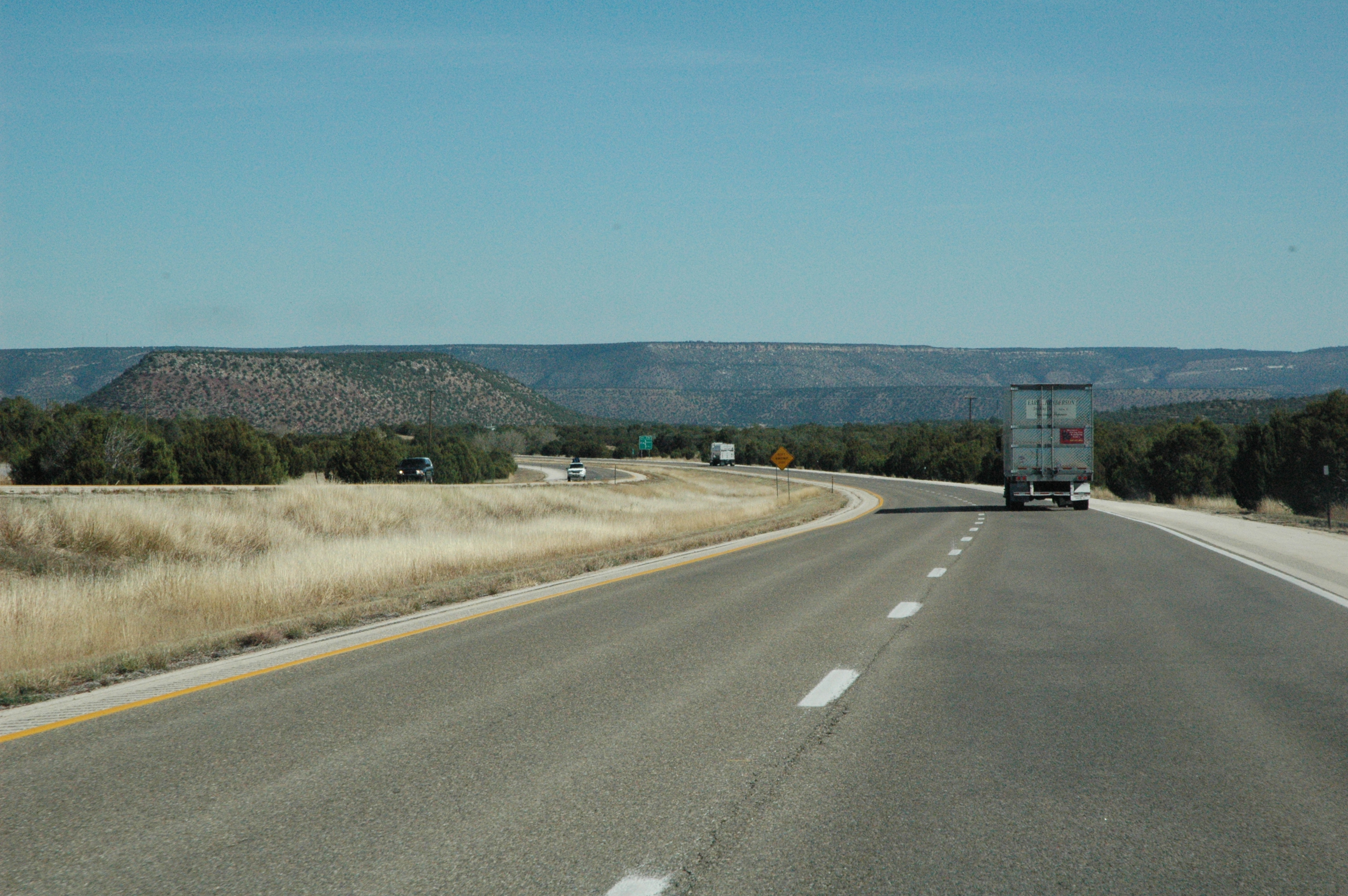
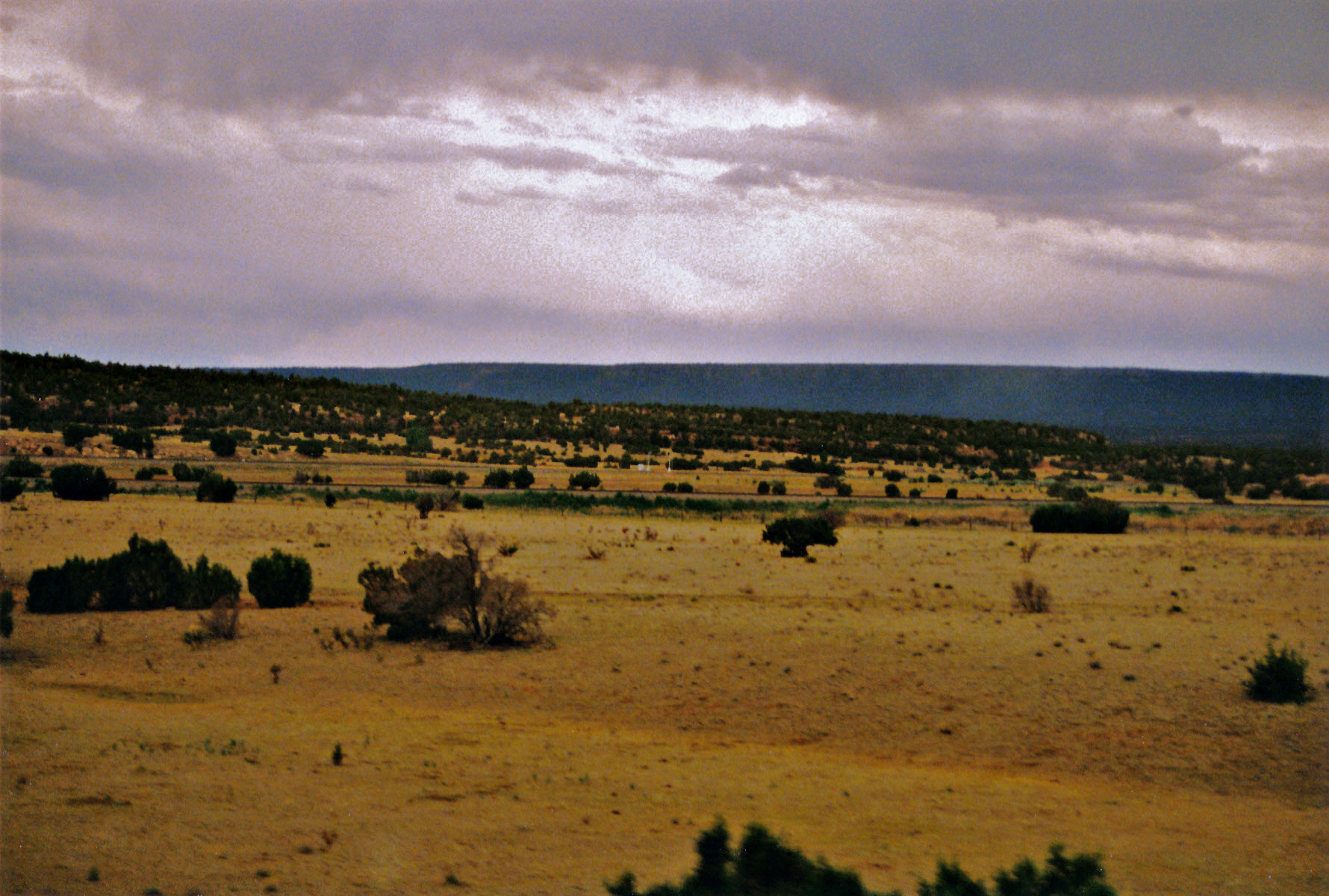
Views from Interstate 25 in northern New Mexico
Views from Interstate 25 in northern New Mexico
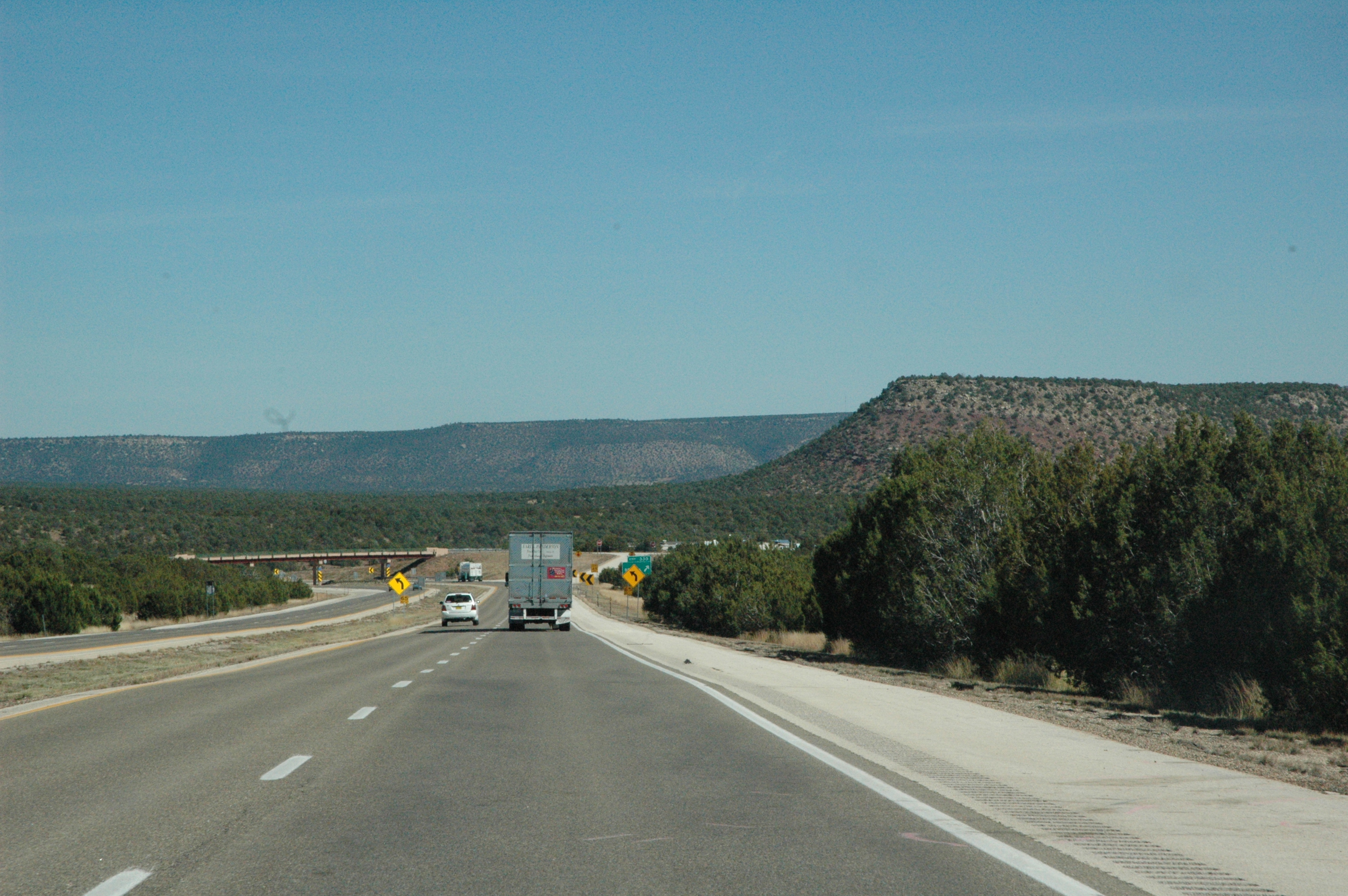
New Mexico forest
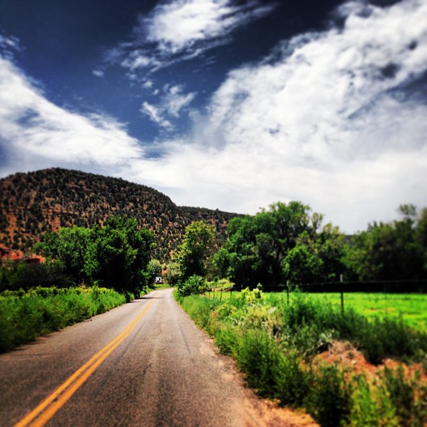
Beautiful drive through Villa Nueva yesterday. It's always a nice detour.
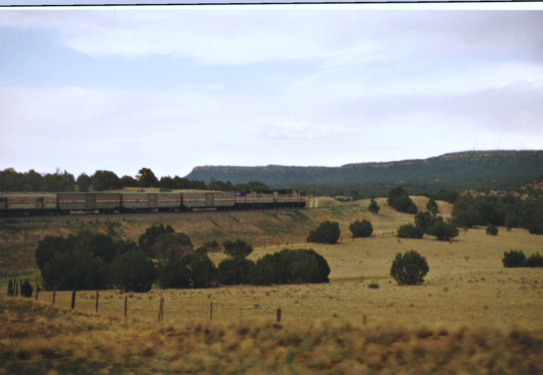
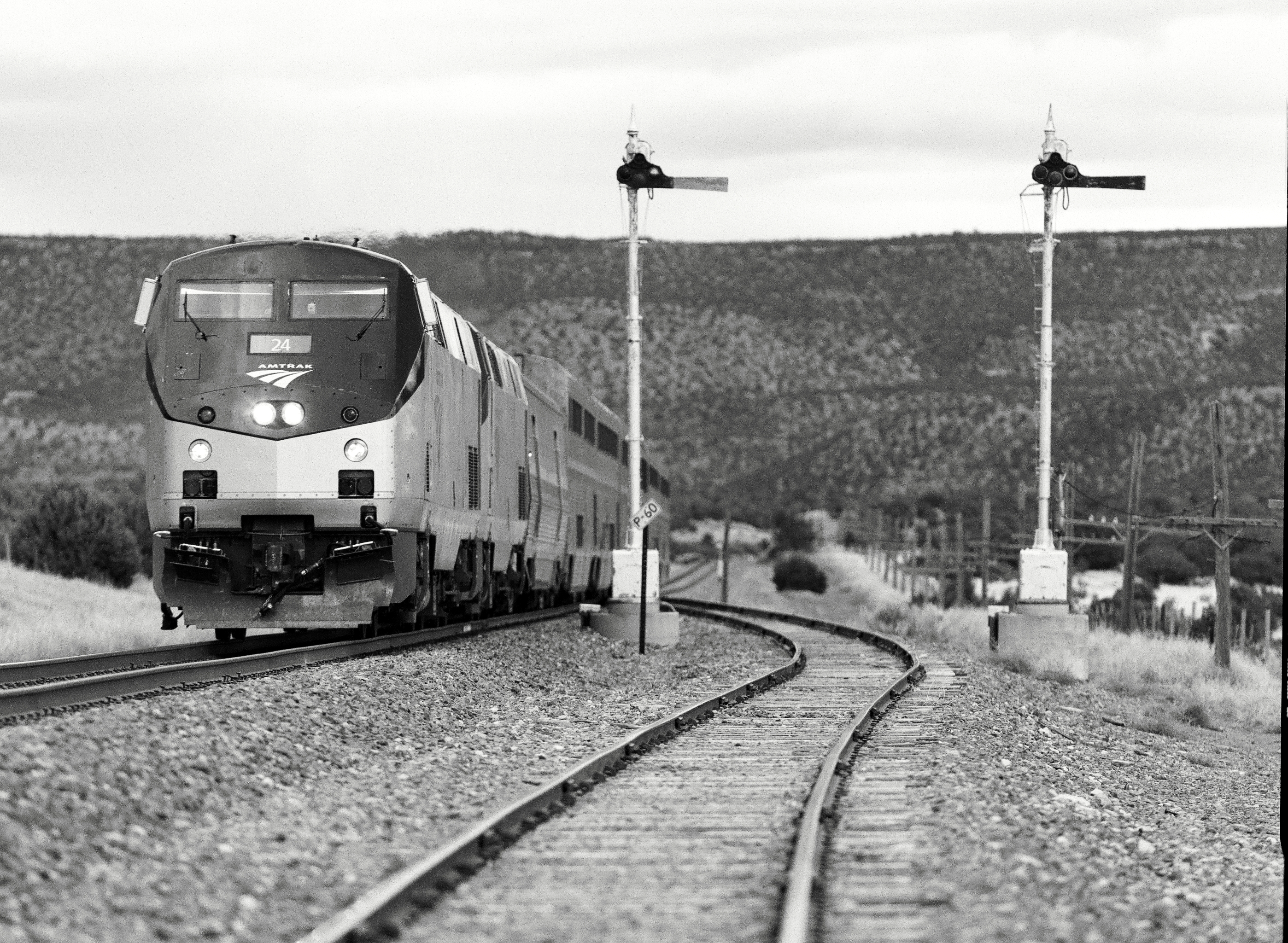
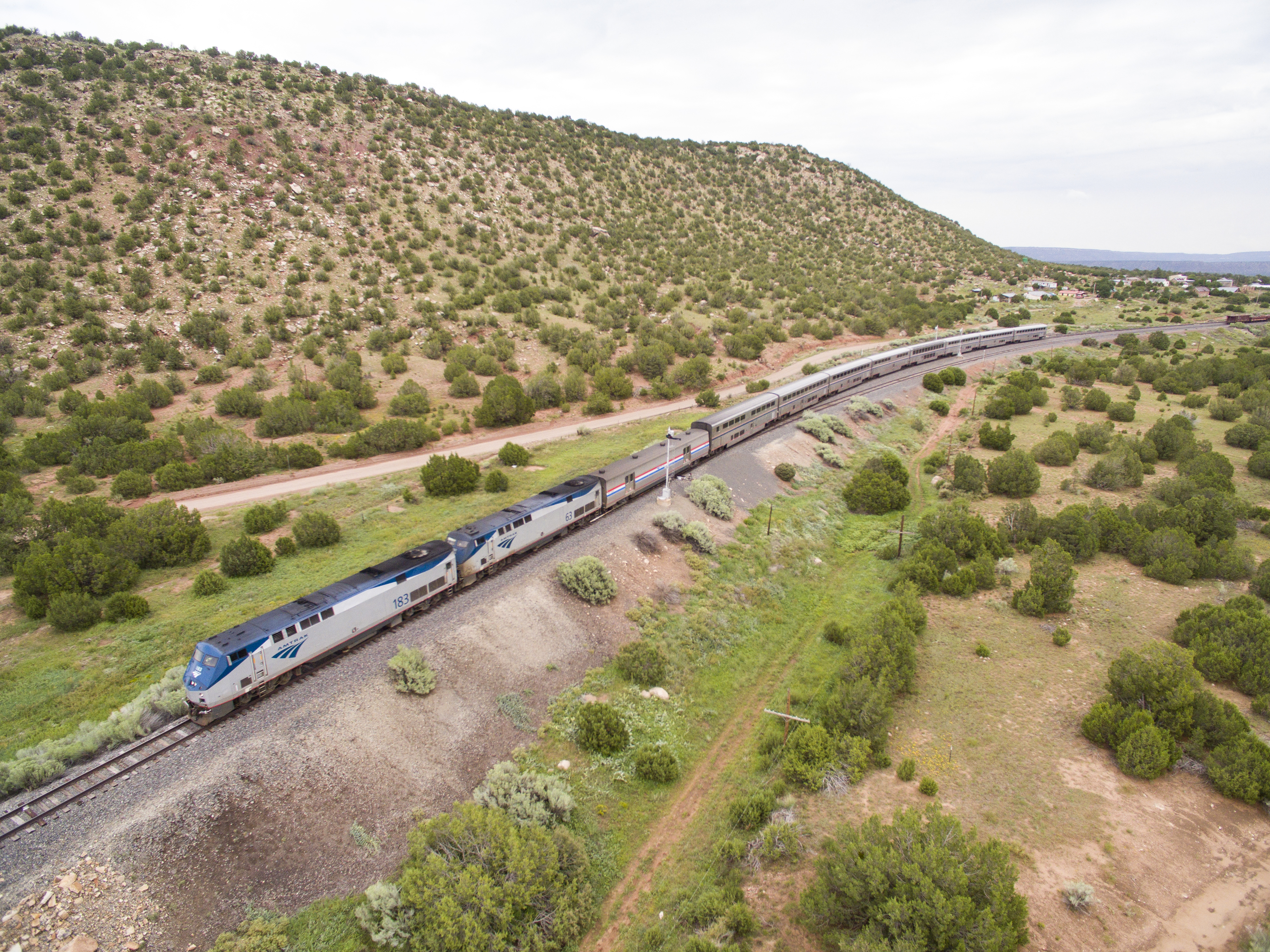
Southwest Chief Working Through New Mexico
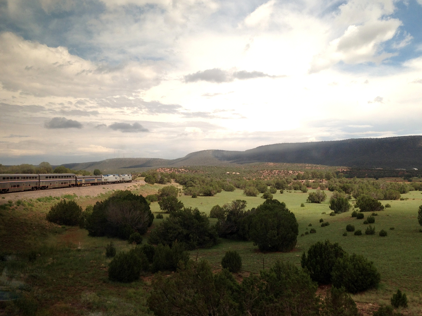
The Southwest Chief
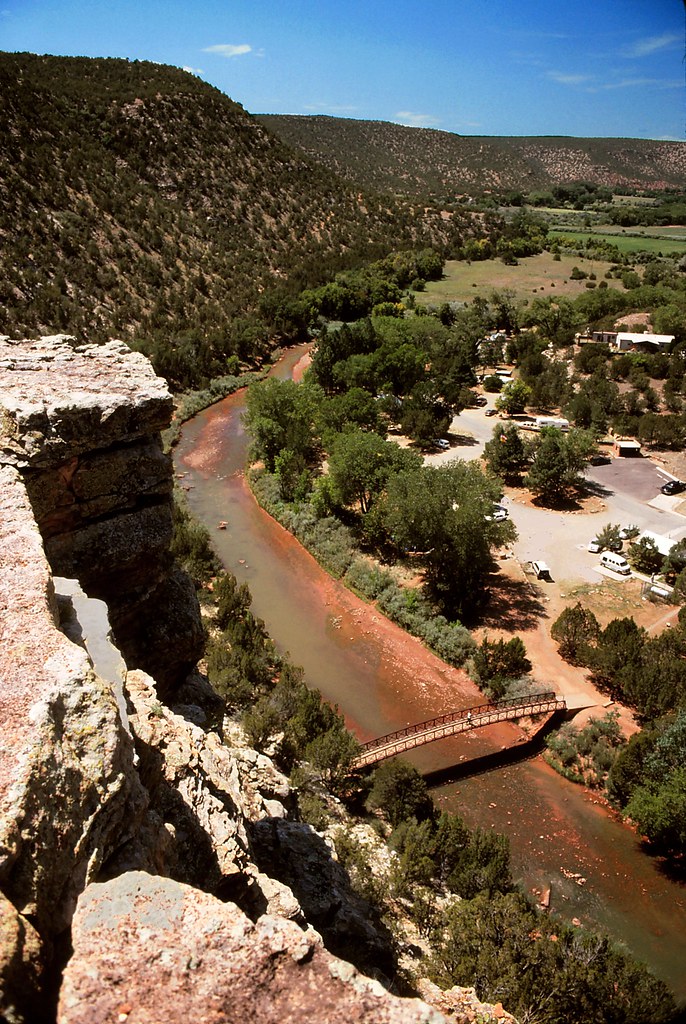
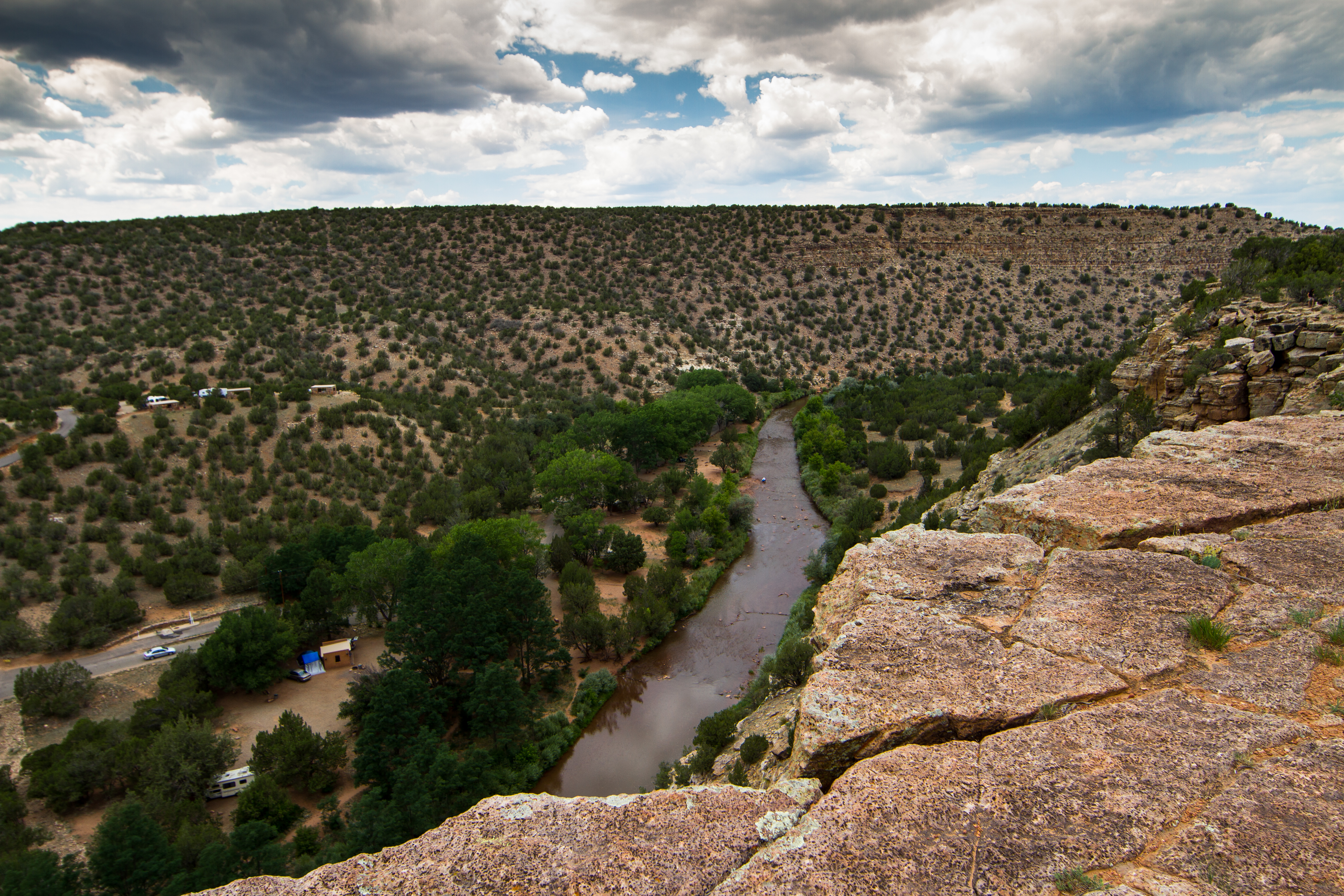
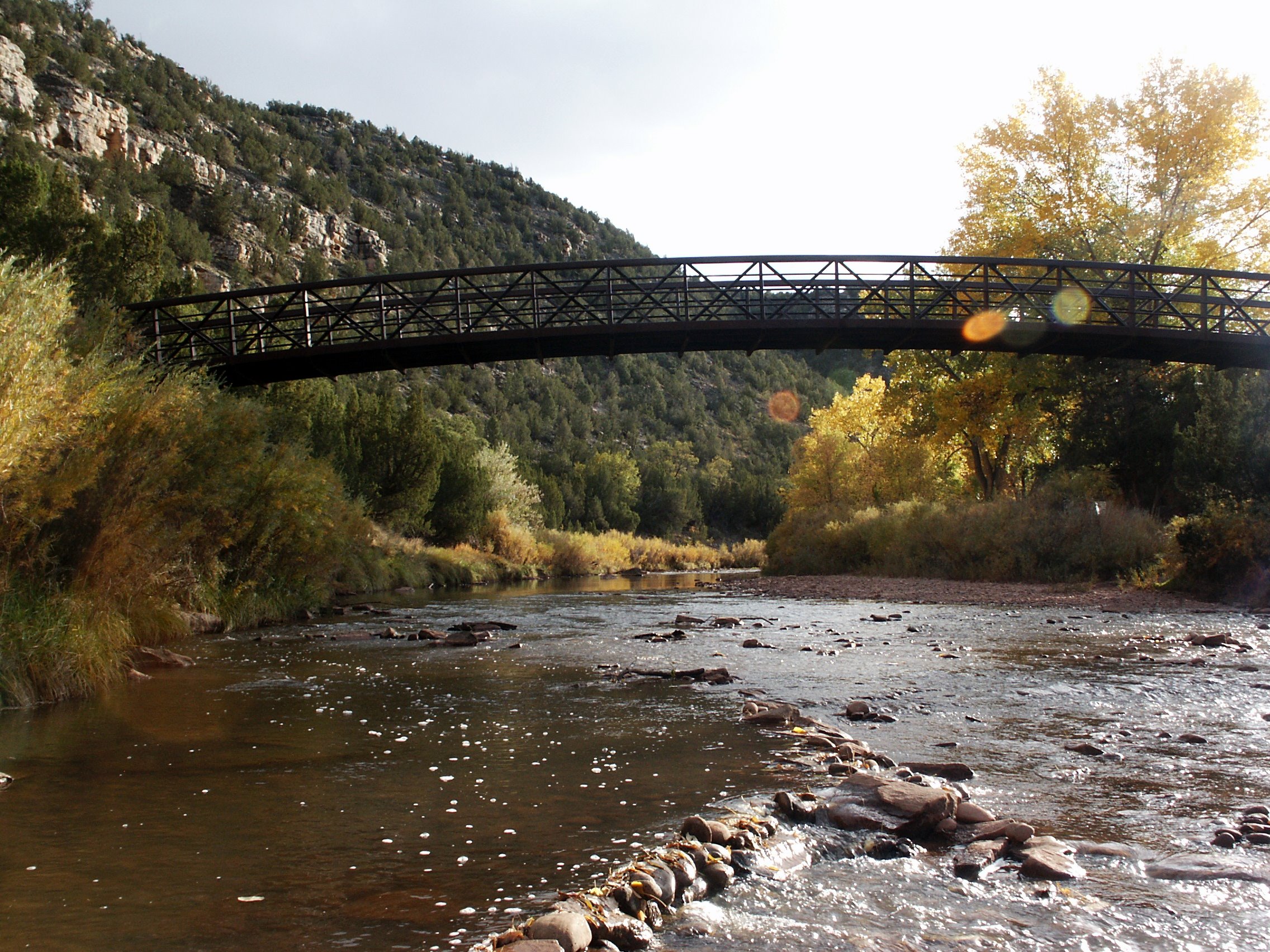
Villanueva State Park, New Mexico
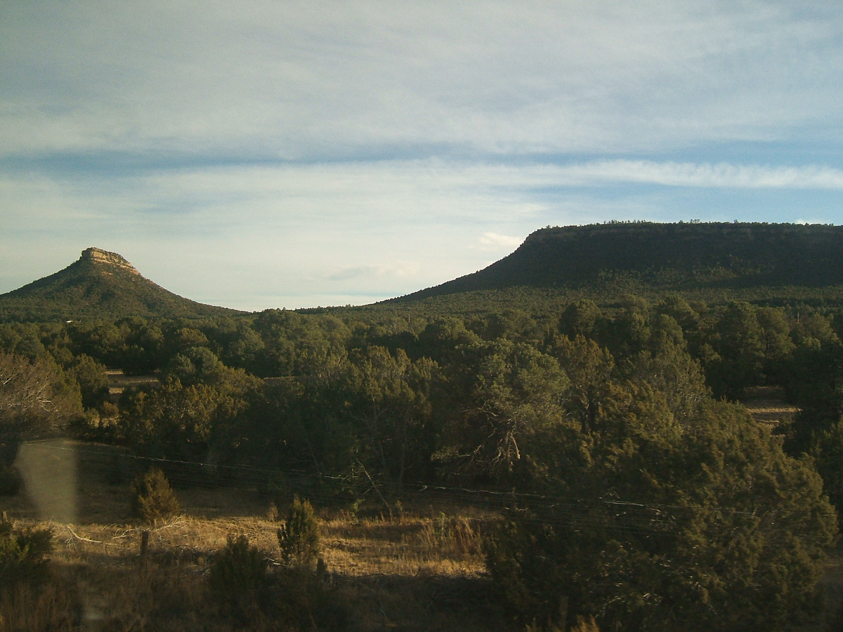
'Phore
Villanuava 074.jpg
Villanuava 076.jpg
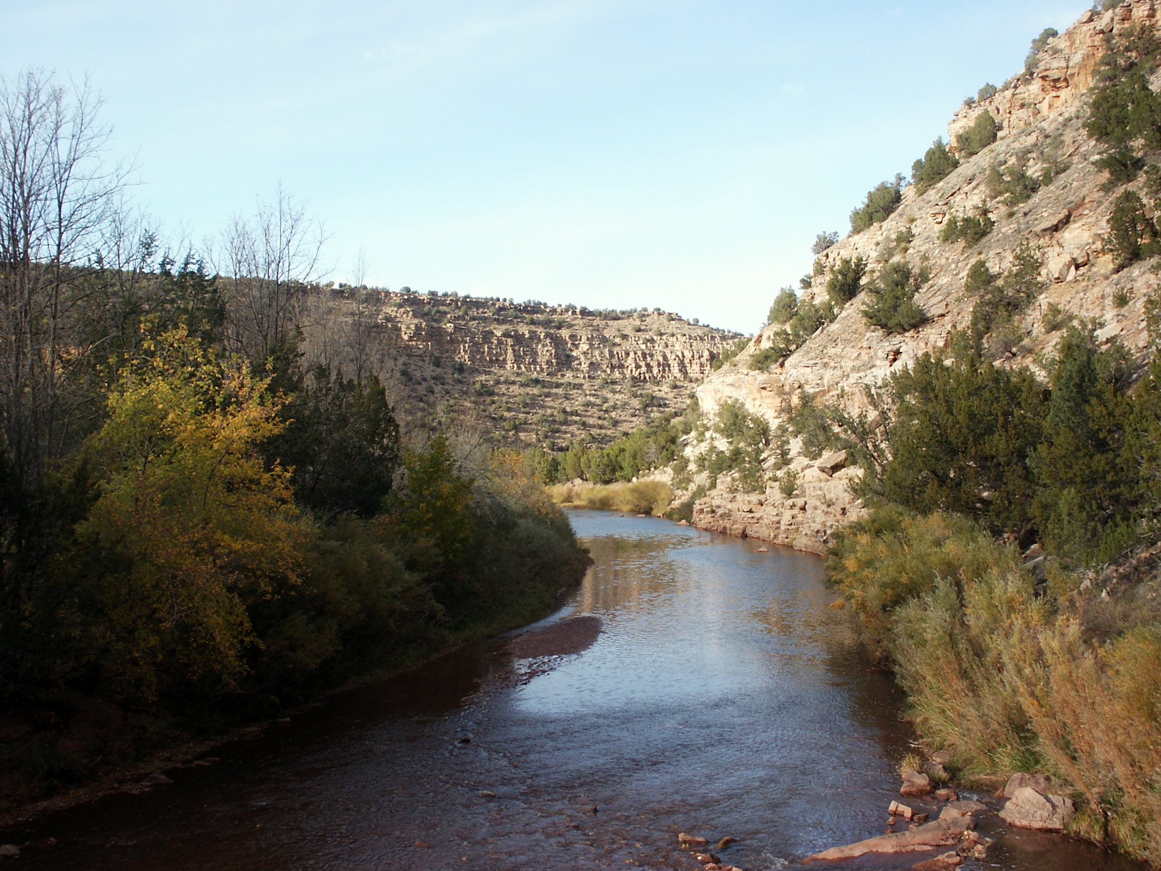
Reflections on the Pecos River NM

Villanuava 073.jpg
Looking Back At The Tracks
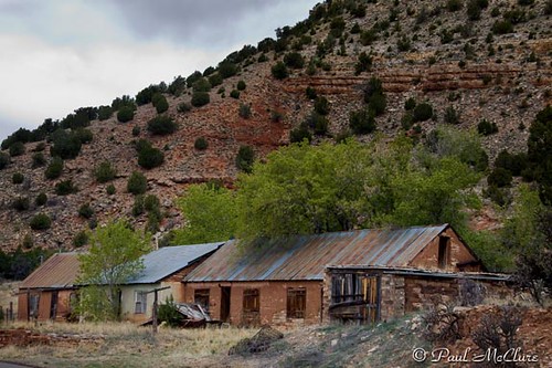
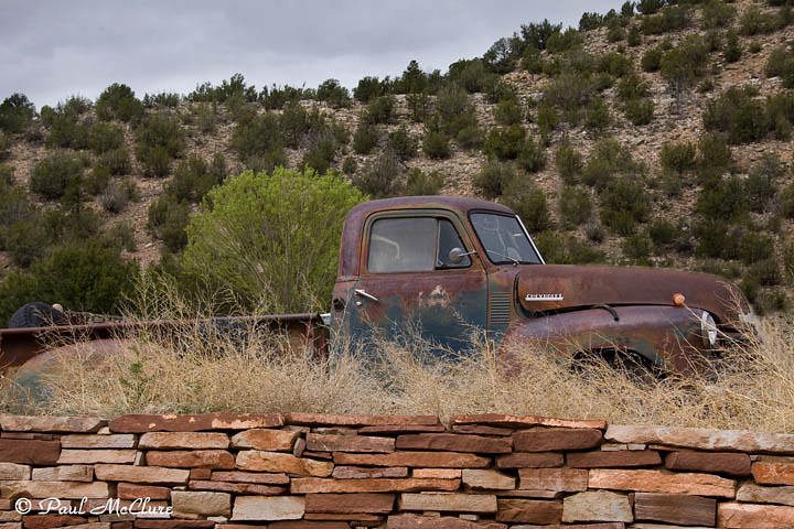
Villanueva, NM
South-West

Villanueva, NM

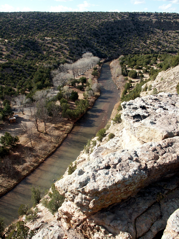
Reflections on the Pecos River NM
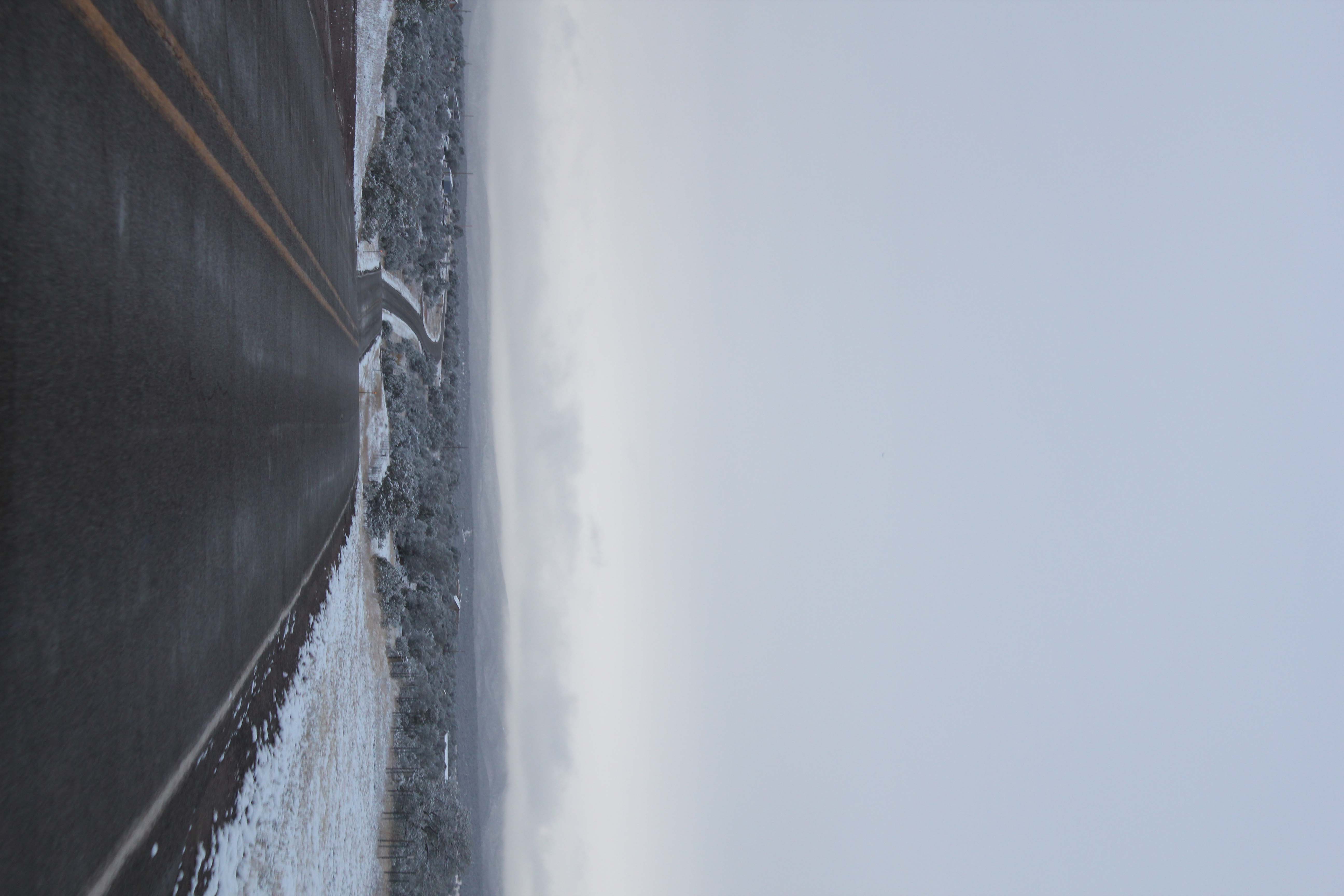
Winding Road in Snow
Villanueva, NM
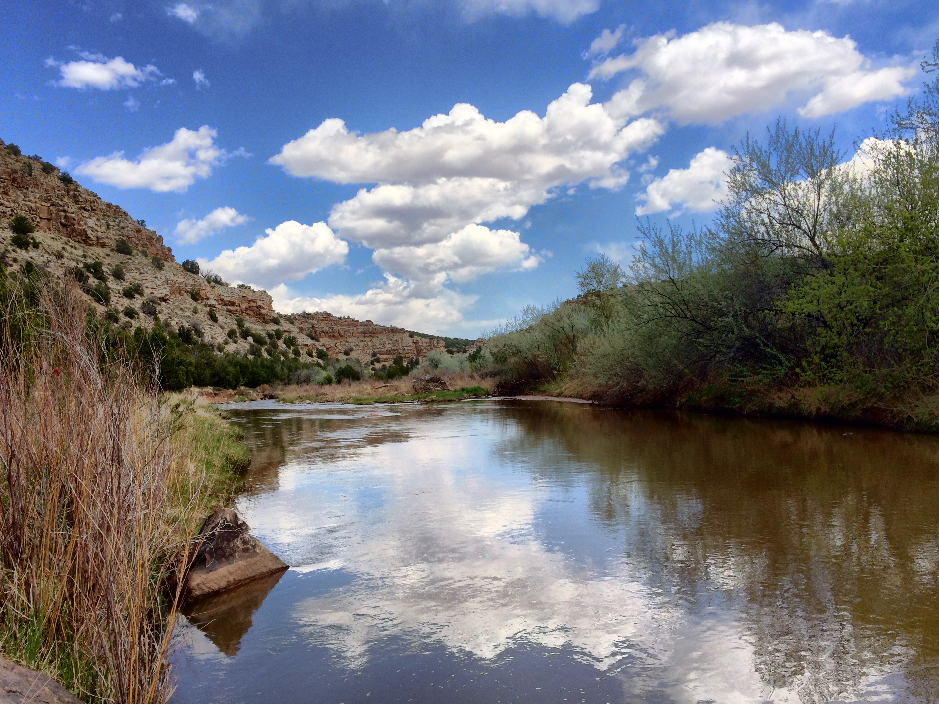
Pecos River - West
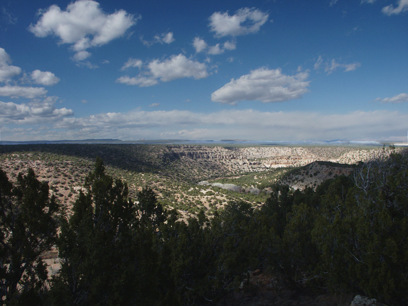
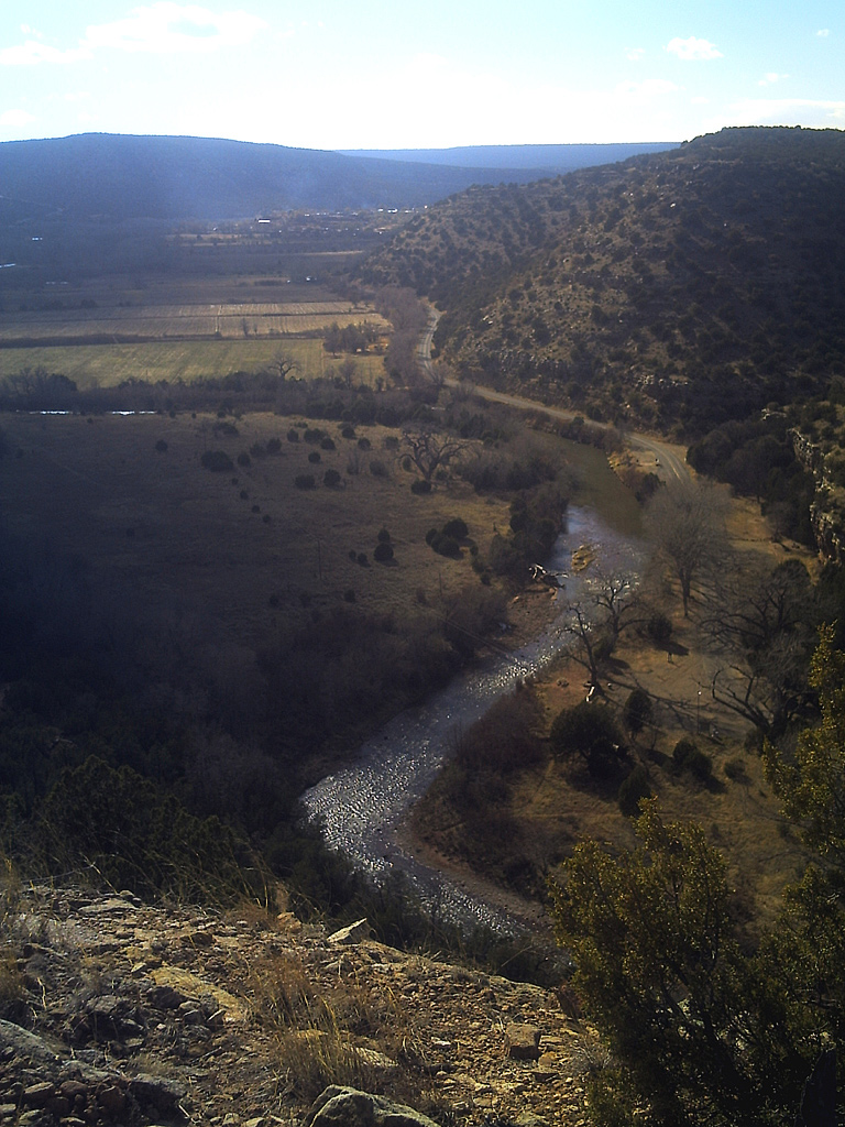
The Pecos River valley
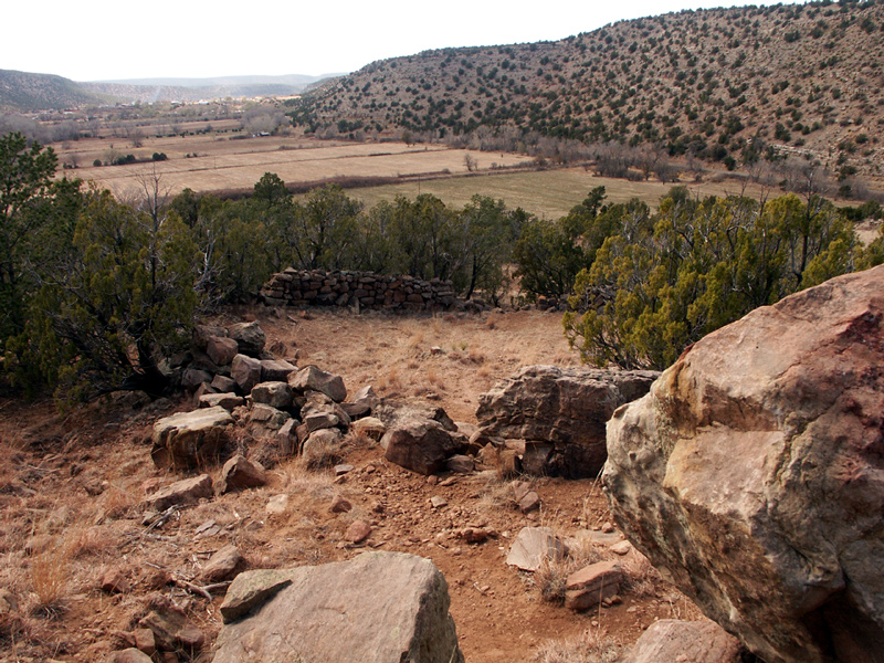
Old Spanish stockade
Topographic Map of Villanueva, NM, USA
Find elevation by address:

Places near Villanueva, NM, USA:
El Cerrito
758 Nm-3
NM-3, Ribera, NM, USA
224 Co Rd B41e
County Rd B26A, Serafina, NM, USA
14 County Rd B28A, Las Vegas, NM, USA
Ribera
Camino Arbol
County Rd B41F, Ribera, NM, USA
County Rd B45C, Anton Chico, NM, USA
Apache Mesa Road
Anton Chico
22 Cristo Rey Rd, Las Vegas, NM, USA
La Loma
U.s. 84
County Rd 4 KJ, La Loma, NM, USA
San Geronimo Cabo Lucero Fire Department
Las Vegas Nm
County Road A18a
1817 Falls Creek Rd
Recent Searches:
- Elevation of Groblershoop, South Africa
- Elevation of Power Generation Enterprises | Industrial Diesel Generators, Oak Ave, Canyon Country, CA, USA
- Elevation of Chesaw Rd, Oroville, WA, USA
- Elevation of N, Mt Pleasant, UT, USA
- Elevation of 6 Rue Jules Ferry, Beausoleil, France
- Elevation of Sattva Horizon, 4JC6+G9P, Vinayak Nagar, Kattigenahalli, Bengaluru, Karnataka, India
- Elevation of Great Brook Sports, Gold Star Hwy, Groton, CT, USA
- Elevation of 10 Mountain Laurels Dr, Nashua, NH, USA
- Elevation of 16 Gilboa Ln, Nashua, NH, USA
- Elevation of Laurel Rd, Townsend, TN, USA