Elevation of Camino Arbol, New Mexico, USA
Location: United States > New Mexico > San Miguel County > Ribera >
Longitude: -105.44881
Latitude: 35.392922
Elevation: 1882m / 6175feet
Barometric Pressure: 81KPa
Elevation Map:
Satellite Map:
Related Photos:
They look good no matter what
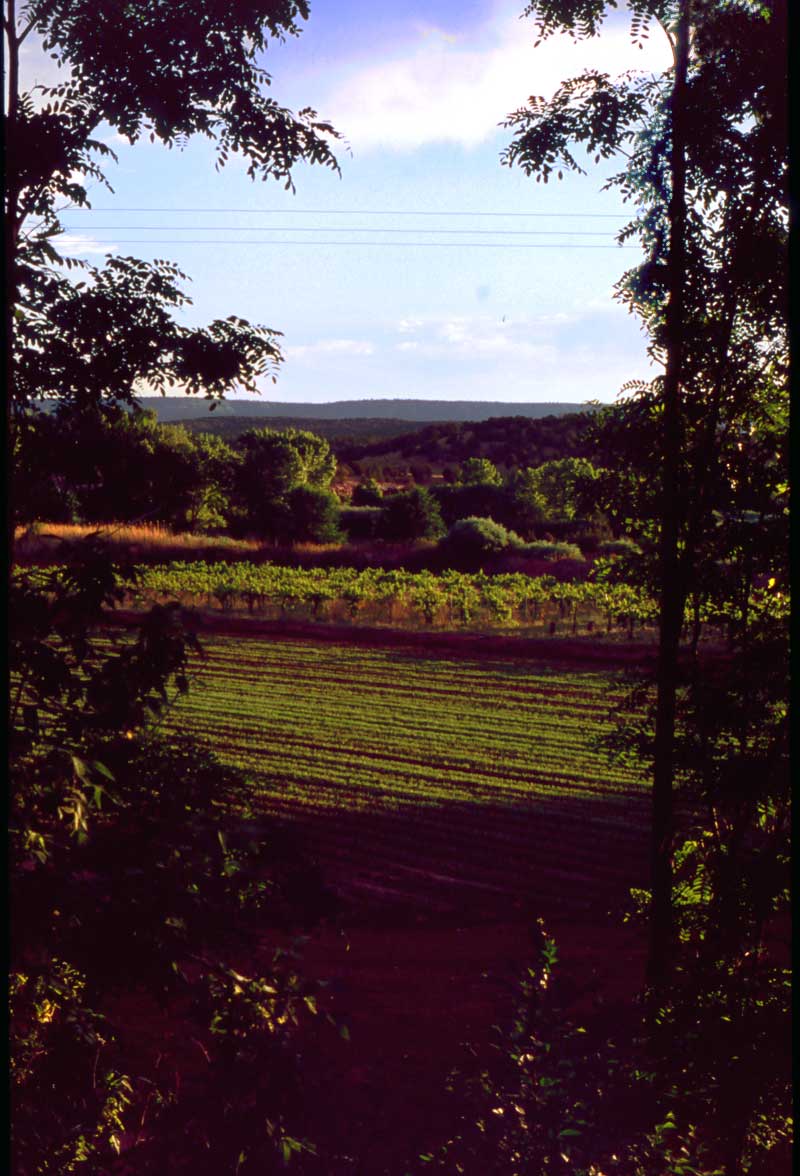
The Vineyard
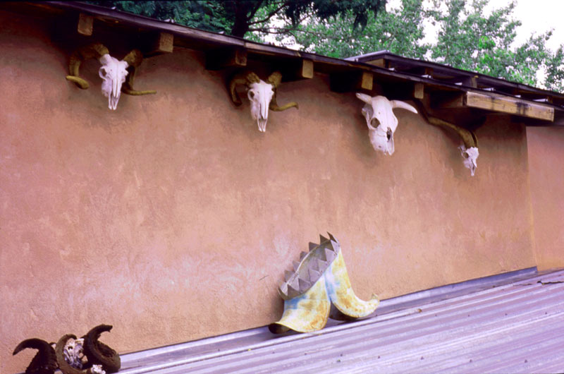
Courtyard View
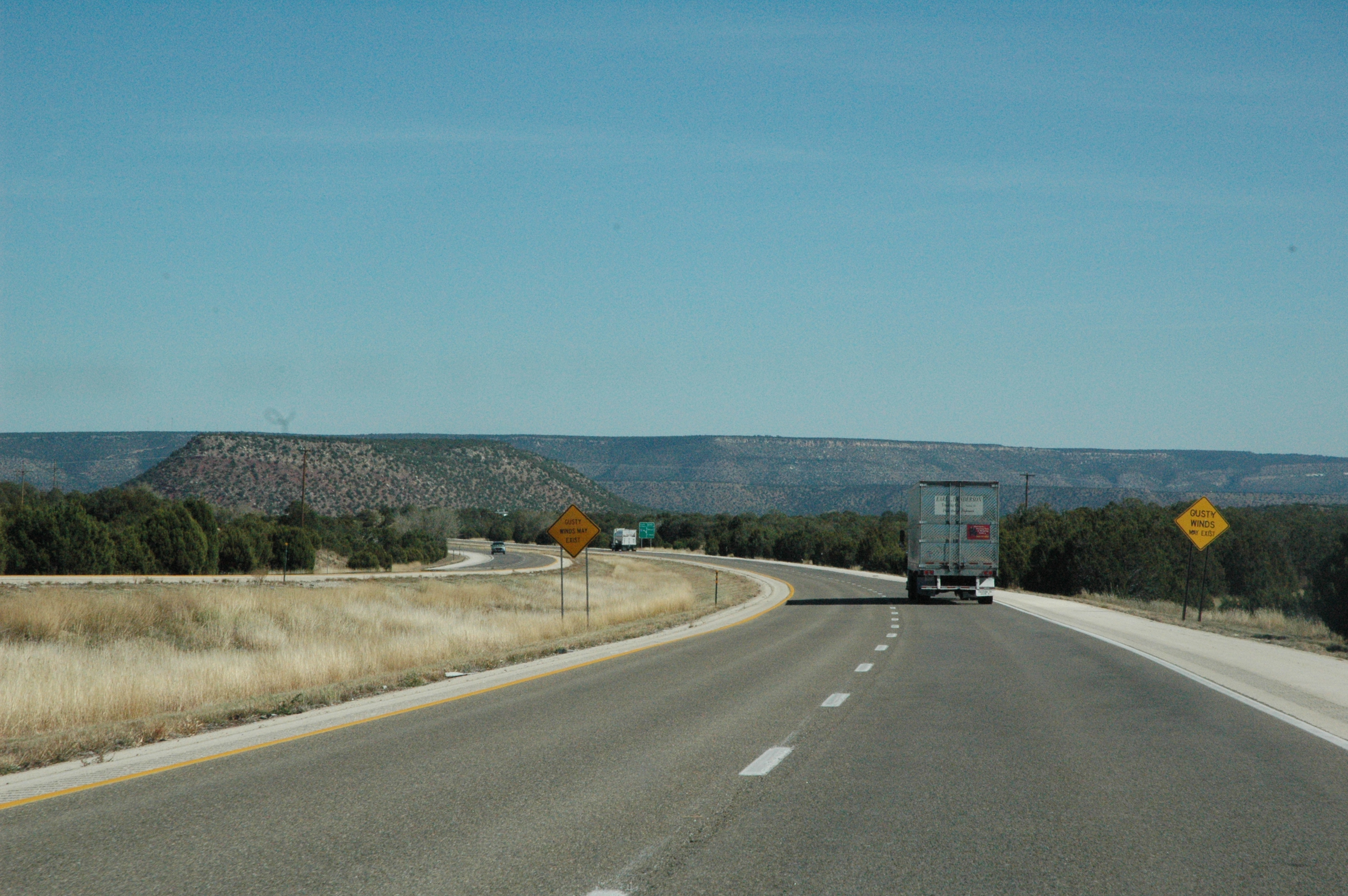
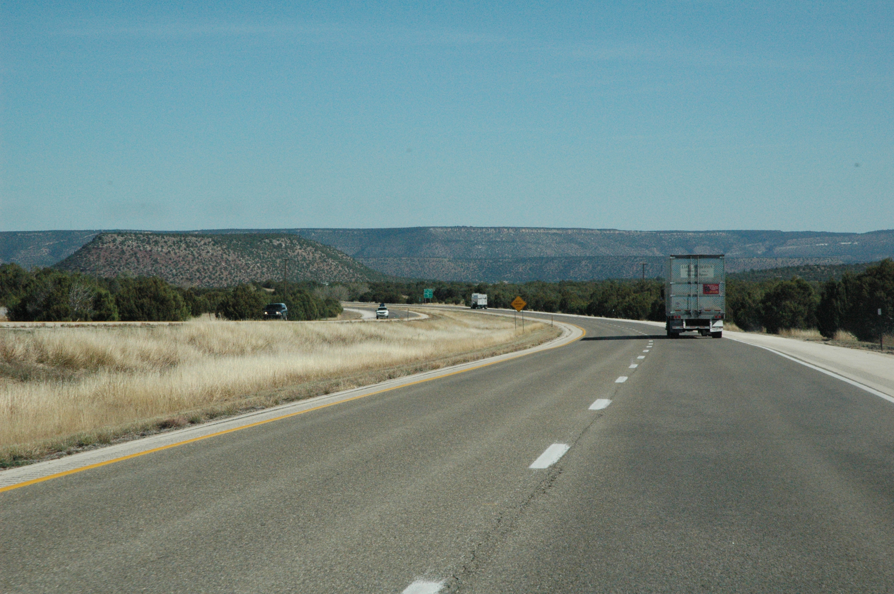
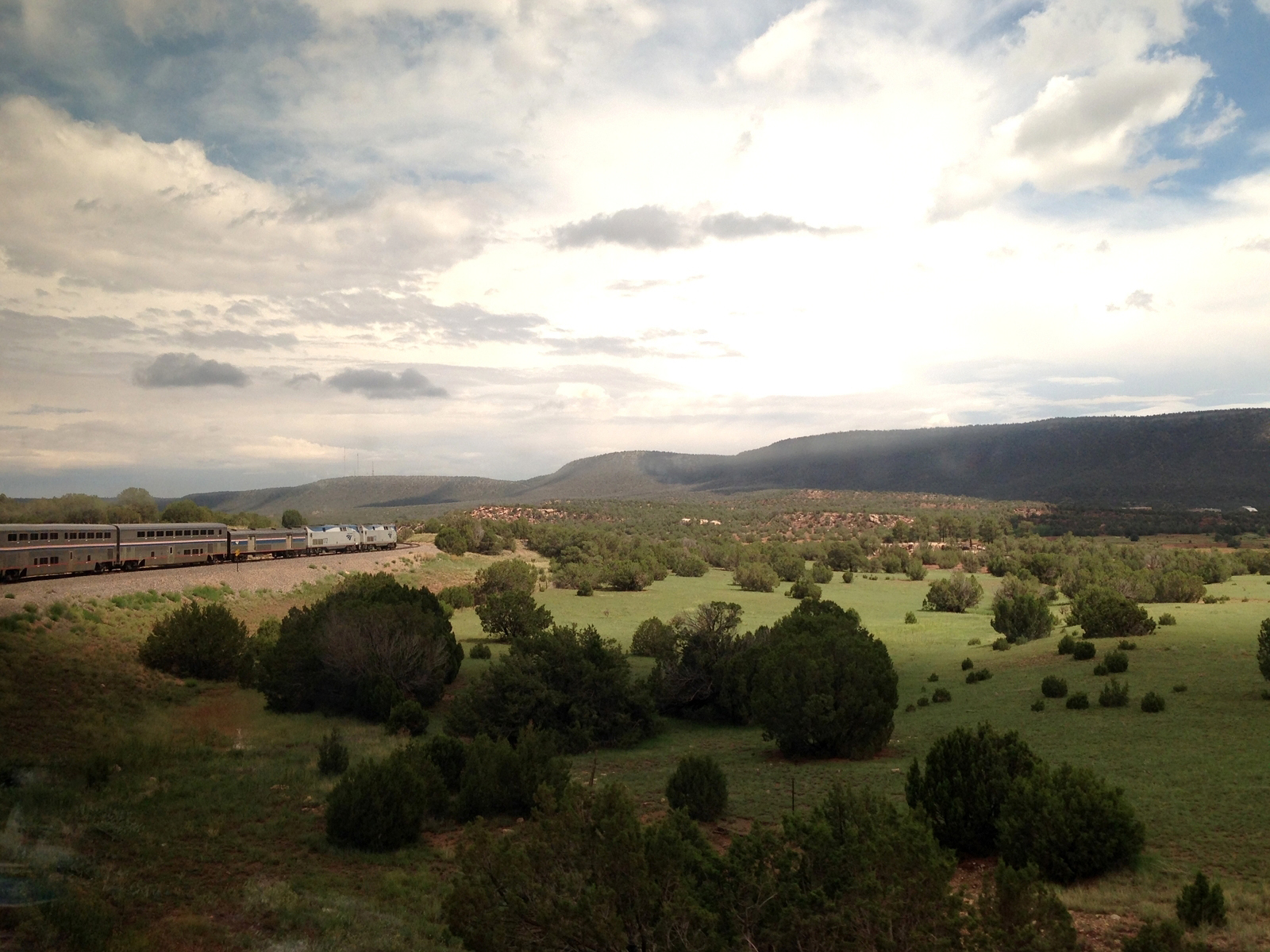
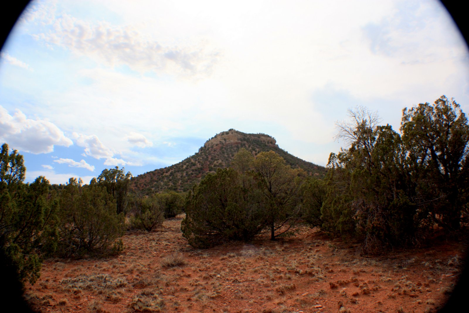
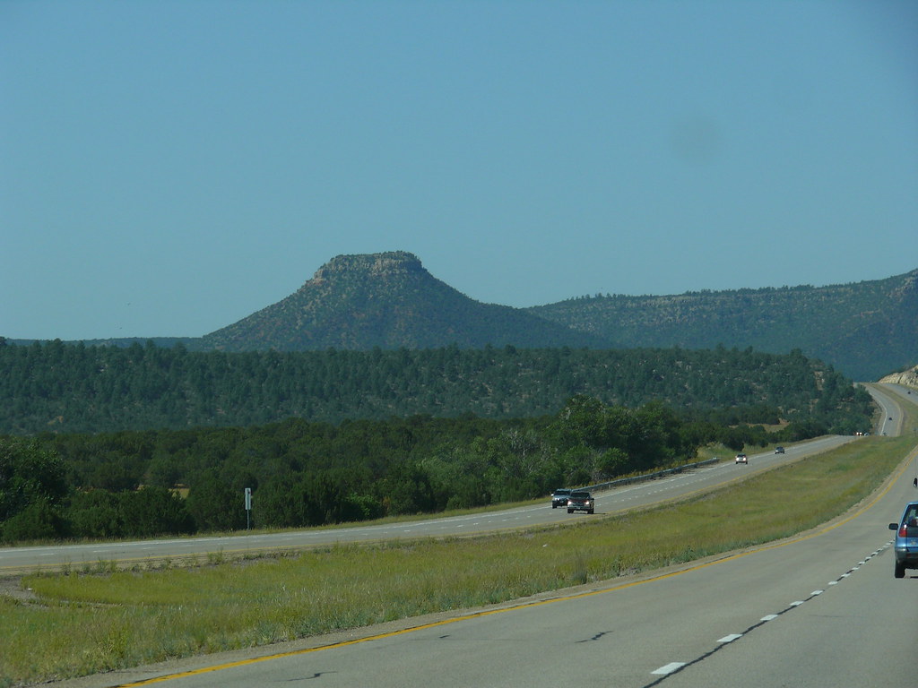
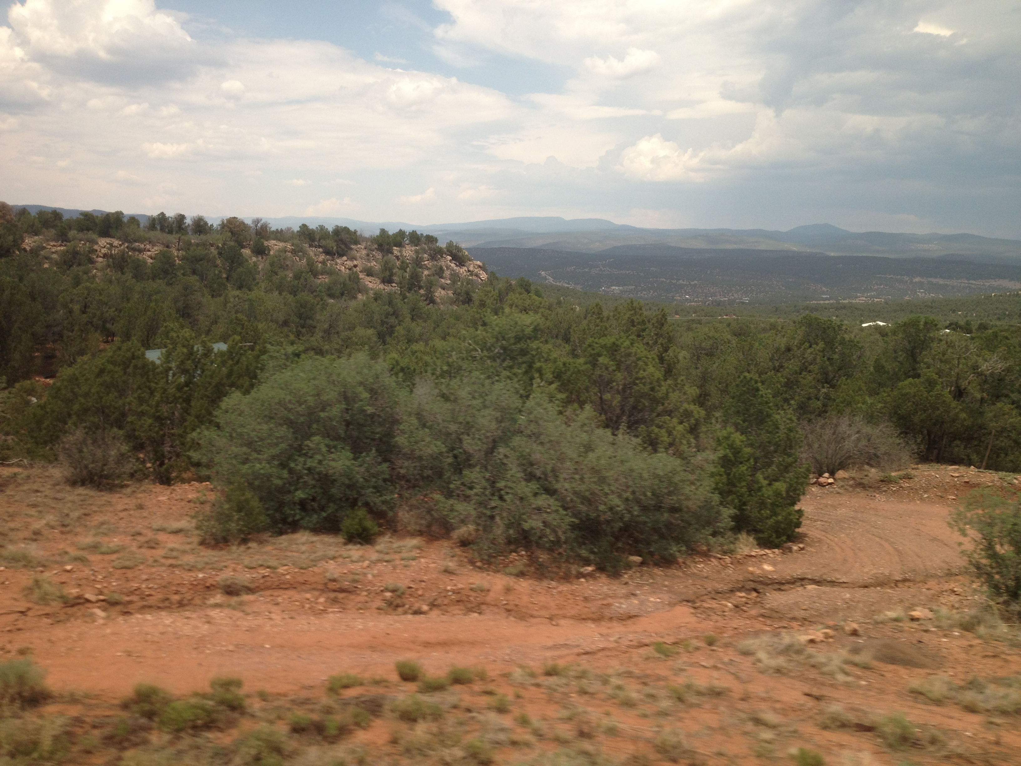
Interstate 25 from northern New Mexico
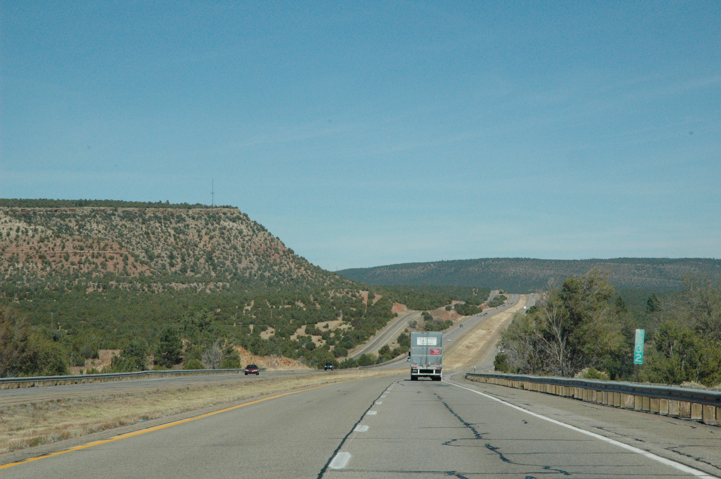
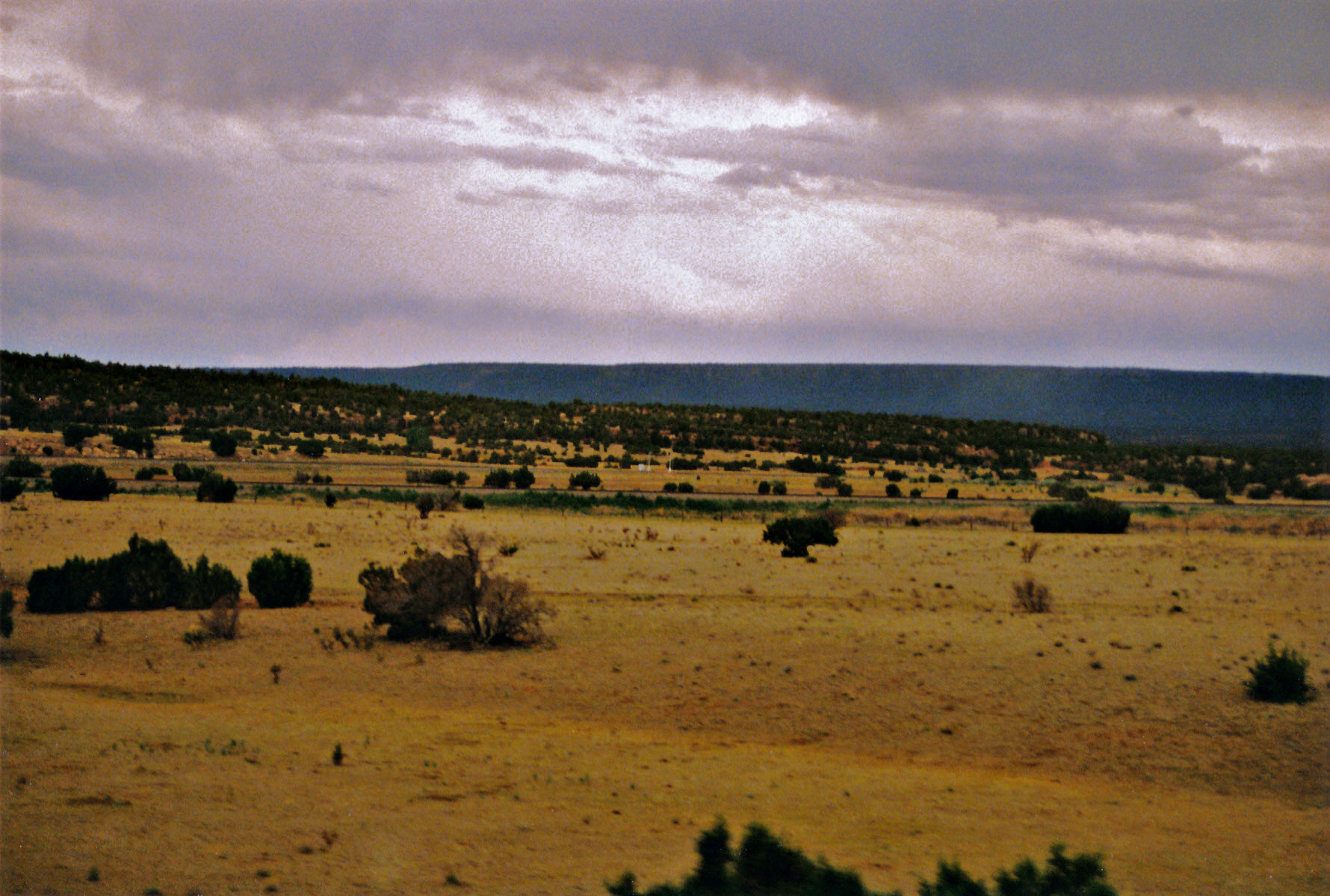
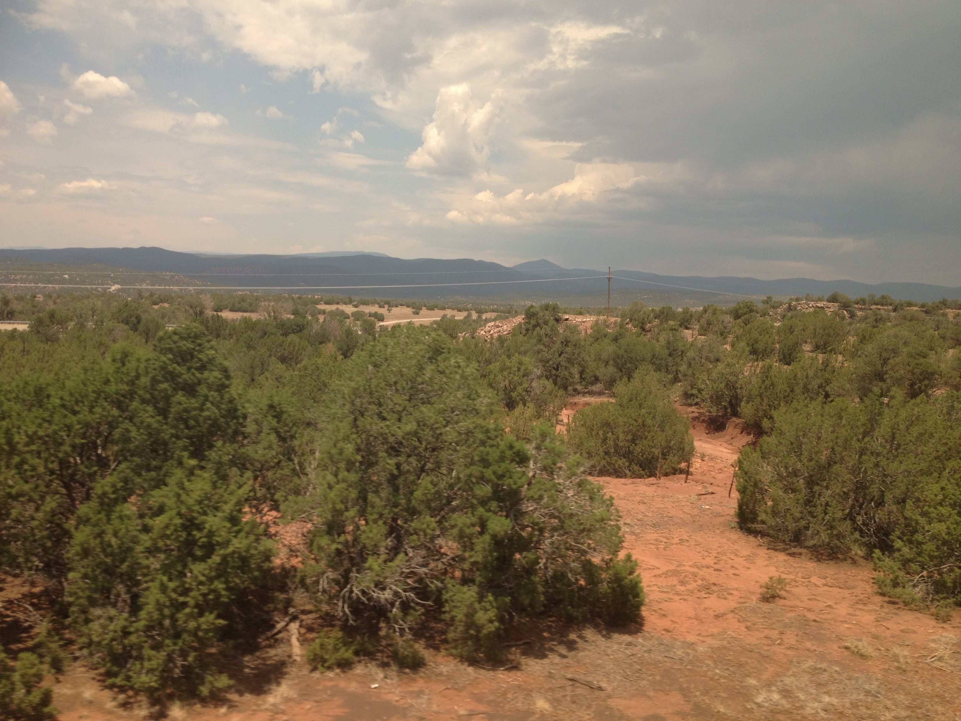
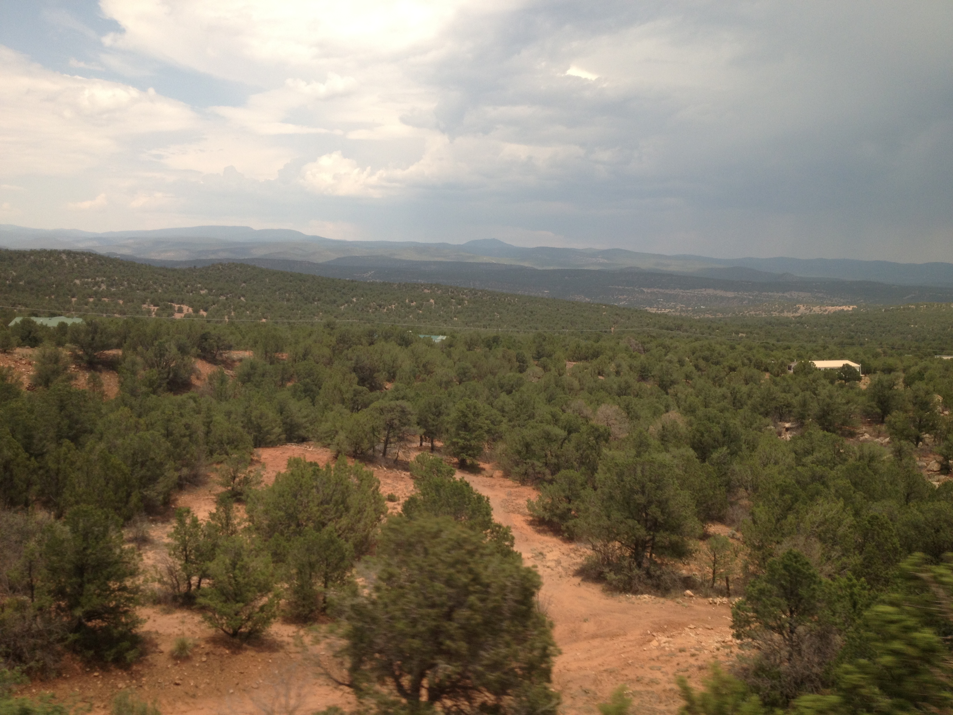
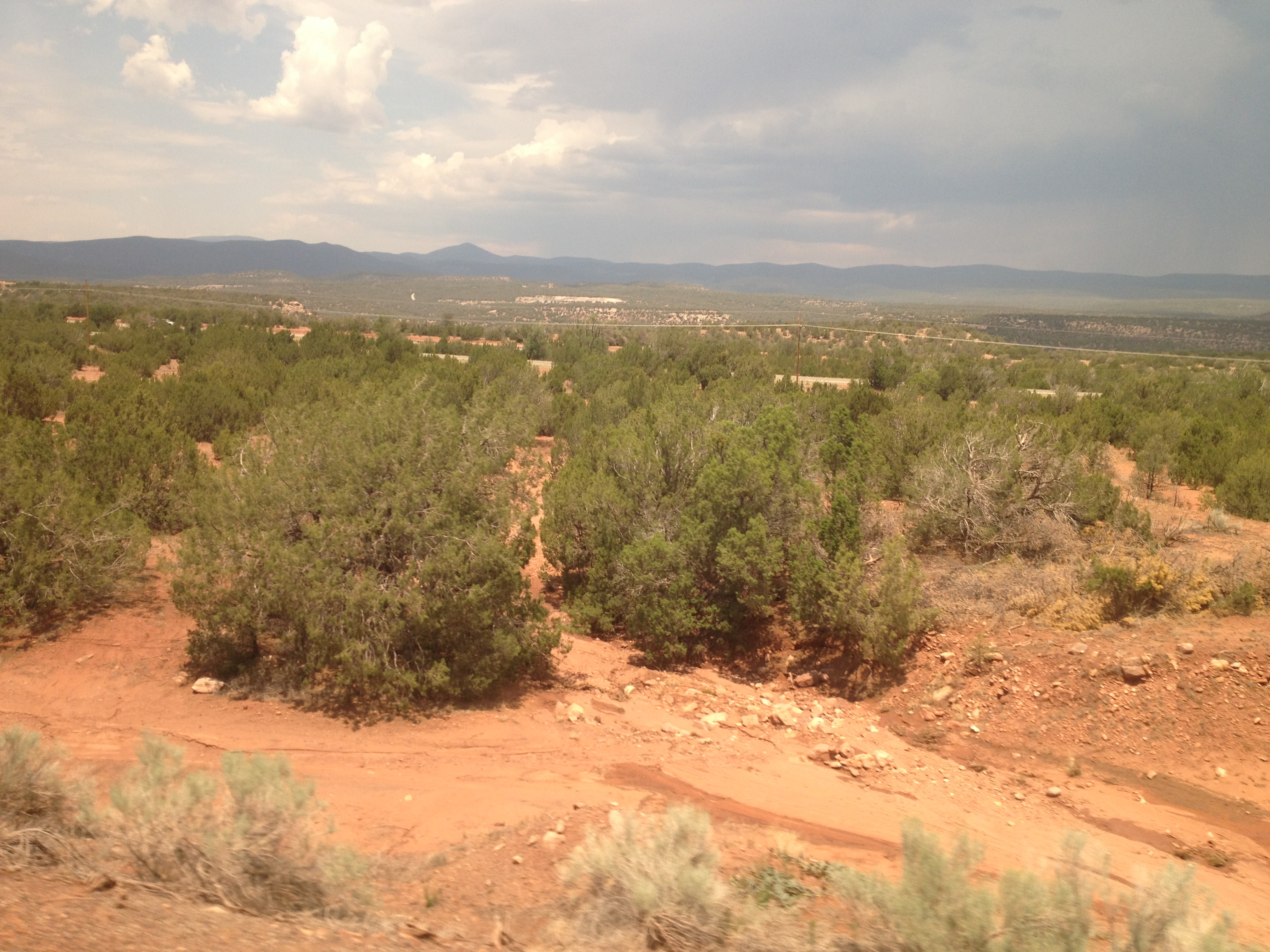
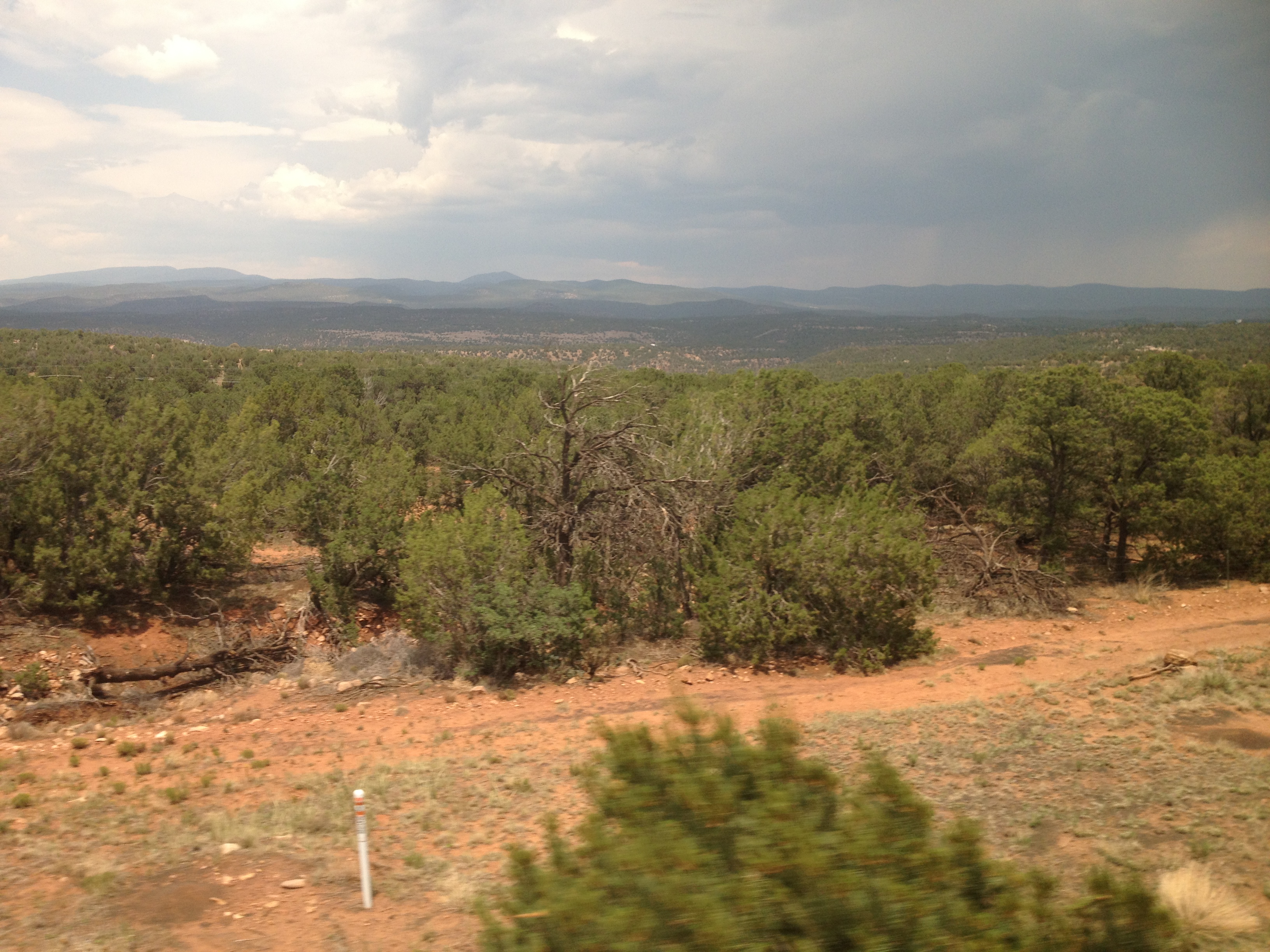
Views from Interstate 25 in northern New Mexico
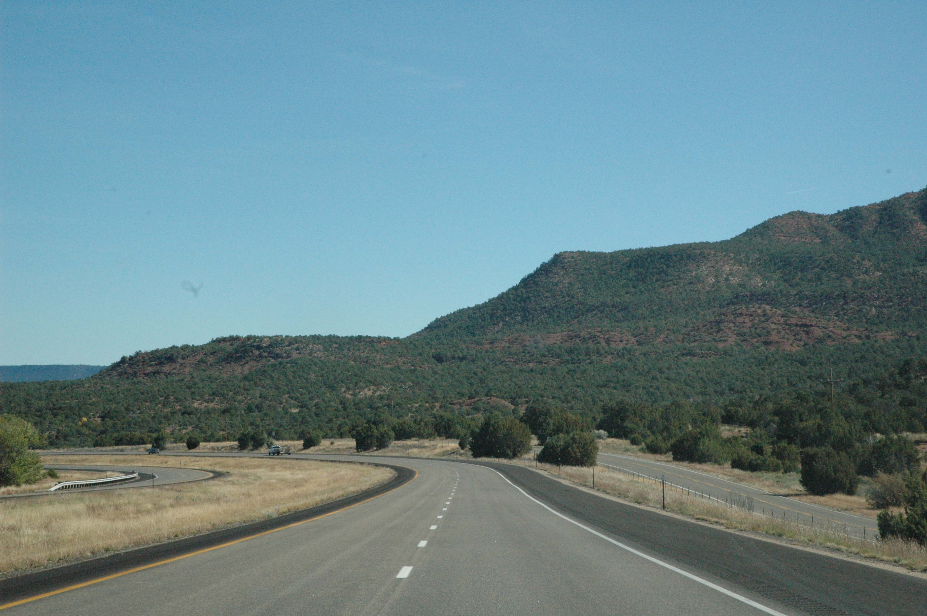
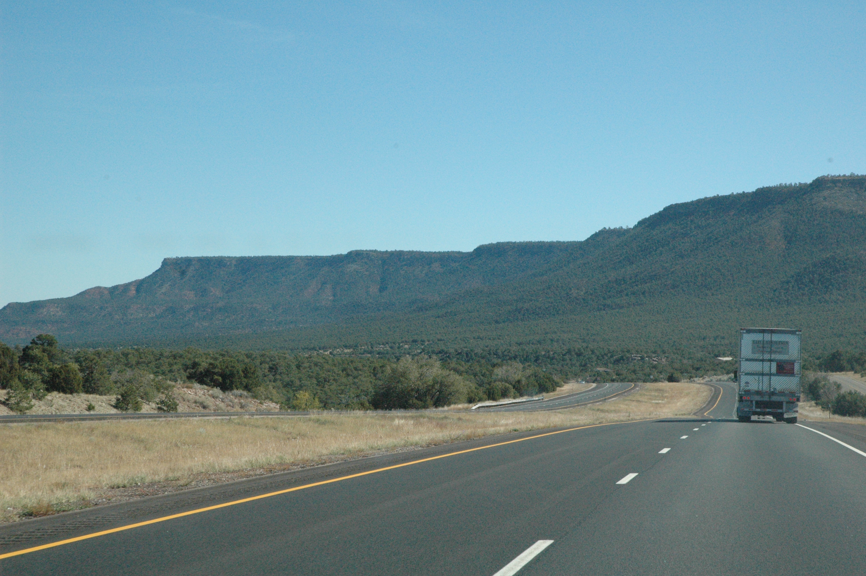
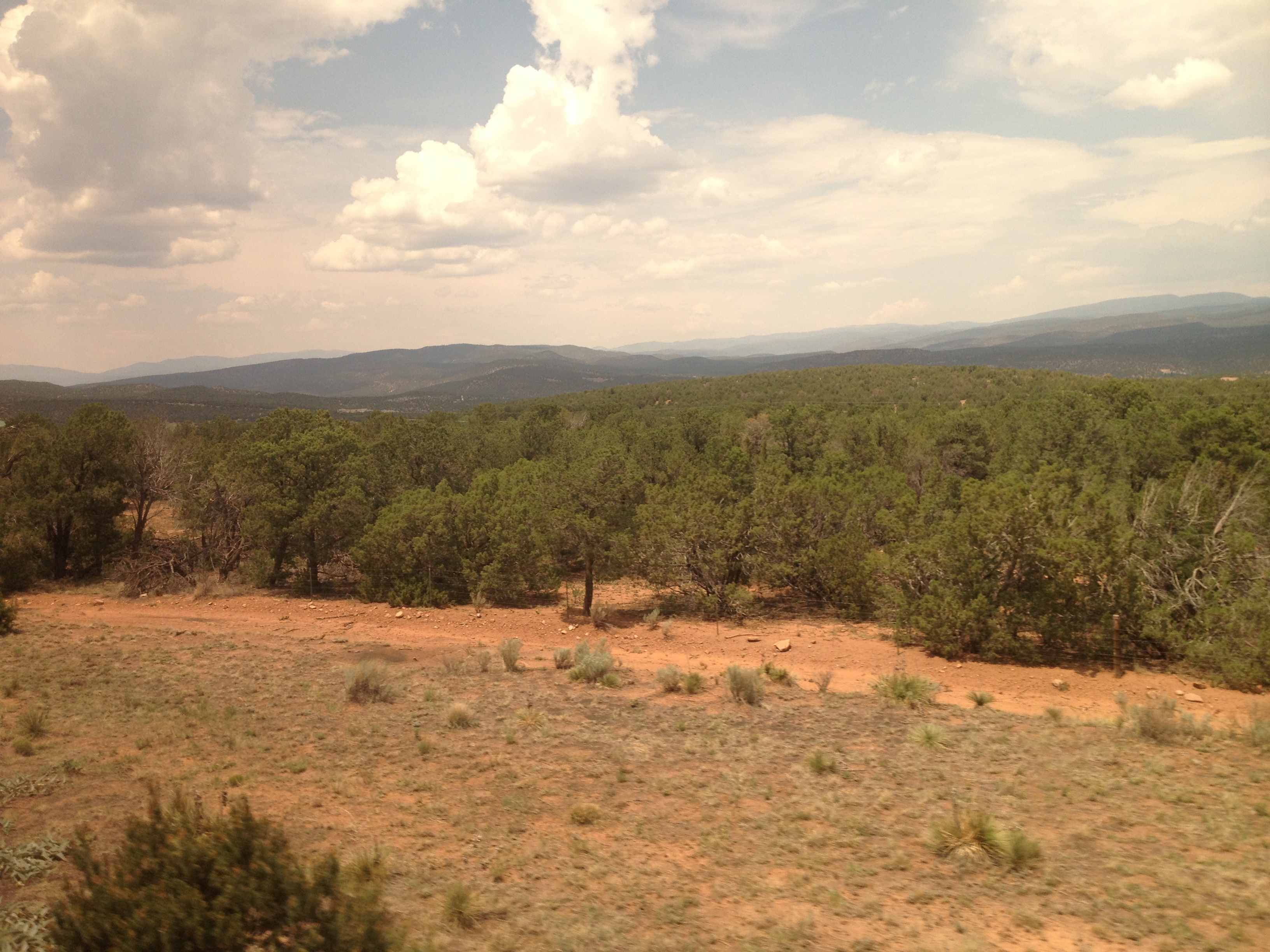
Interstate 25 from northern New Mexico
Views from Interstate 25 in northern New Mexico
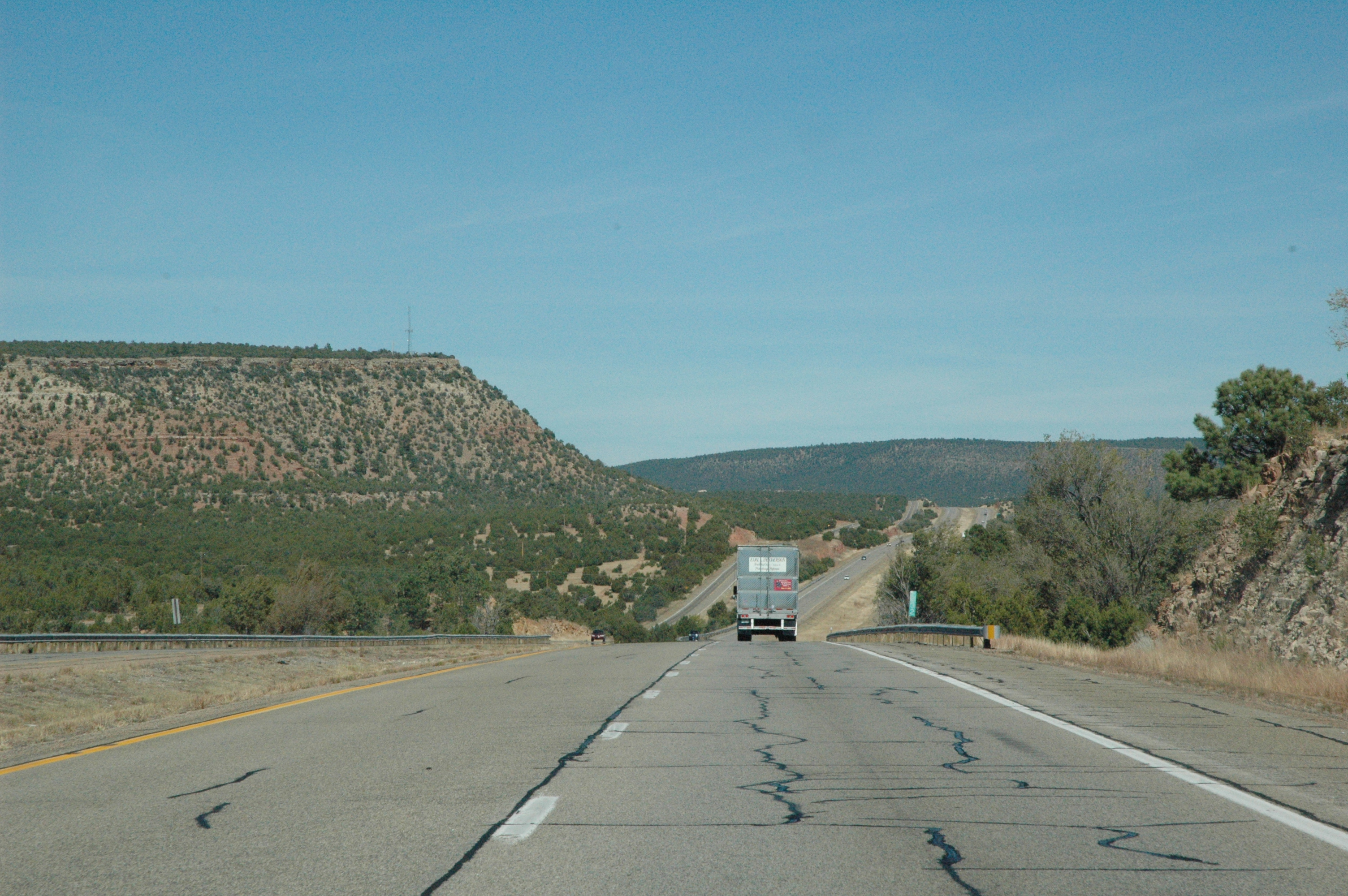
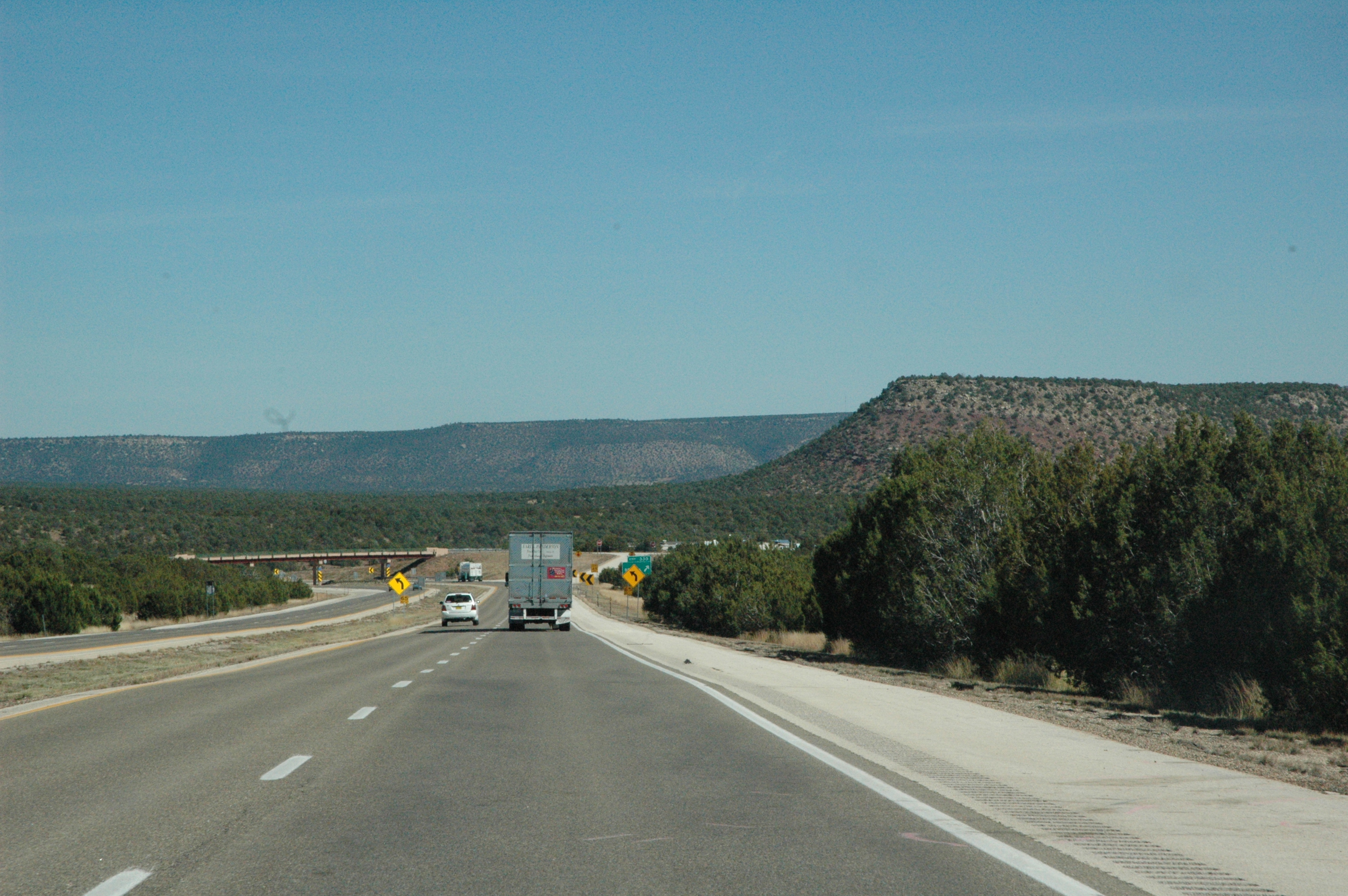
Views from Interstate 25 in northern New Mexico
Views from Interstate 25 in northern New Mexico
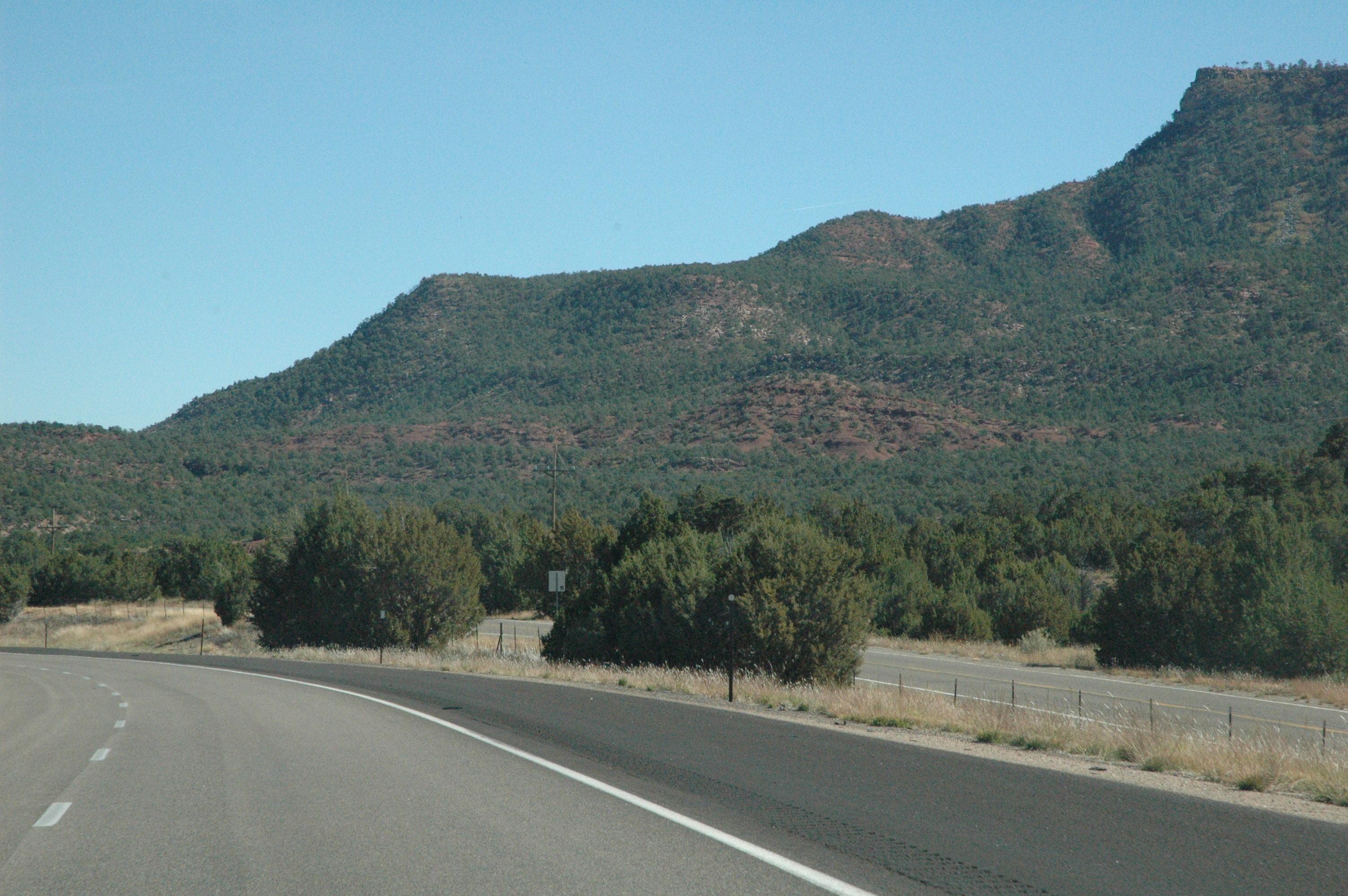
Interstate 25 from northern New Mexico

Interstate 25 from northern New Mexico
Views from Interstate 25 in northern New Mexico

Interstate 25 from northern New Mexico
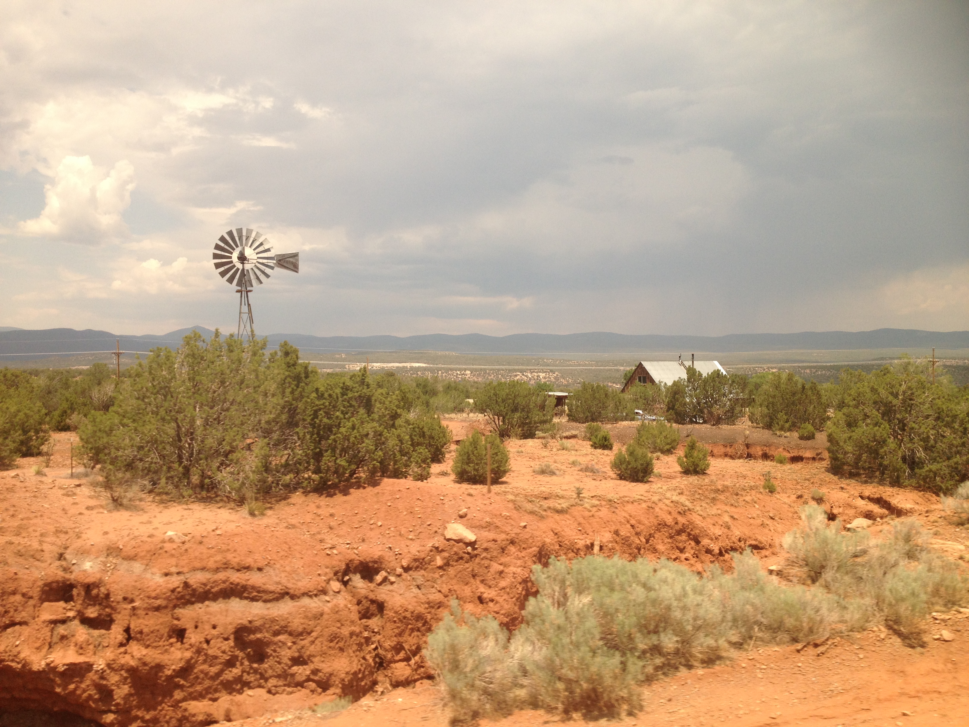
2013-07-05 13.35.24
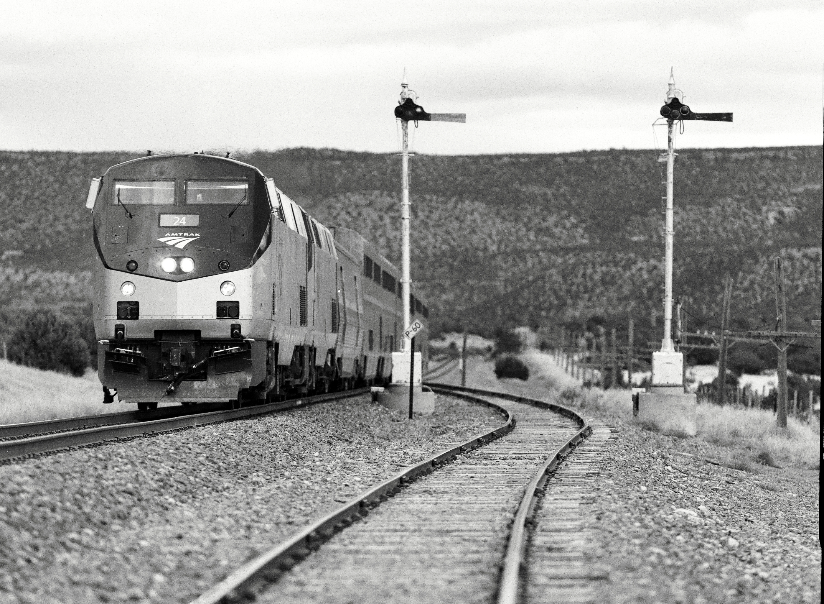
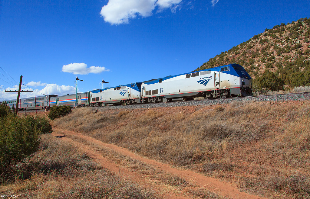
The Southwest Chief
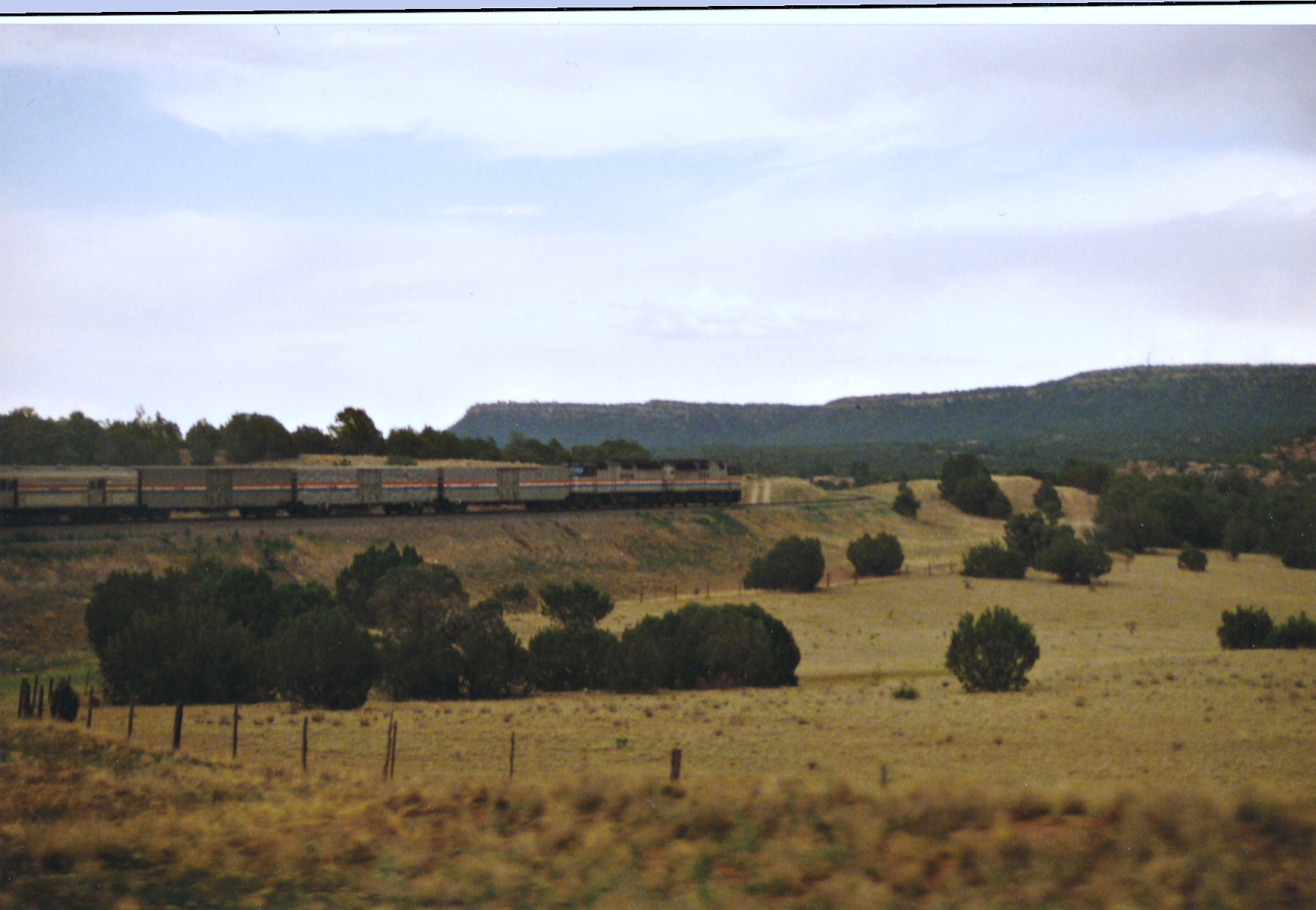
Southwest Chief Working Through New Mexico
1-DSC02864
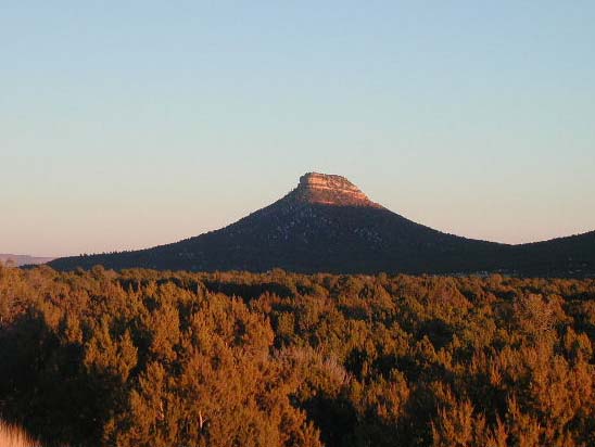
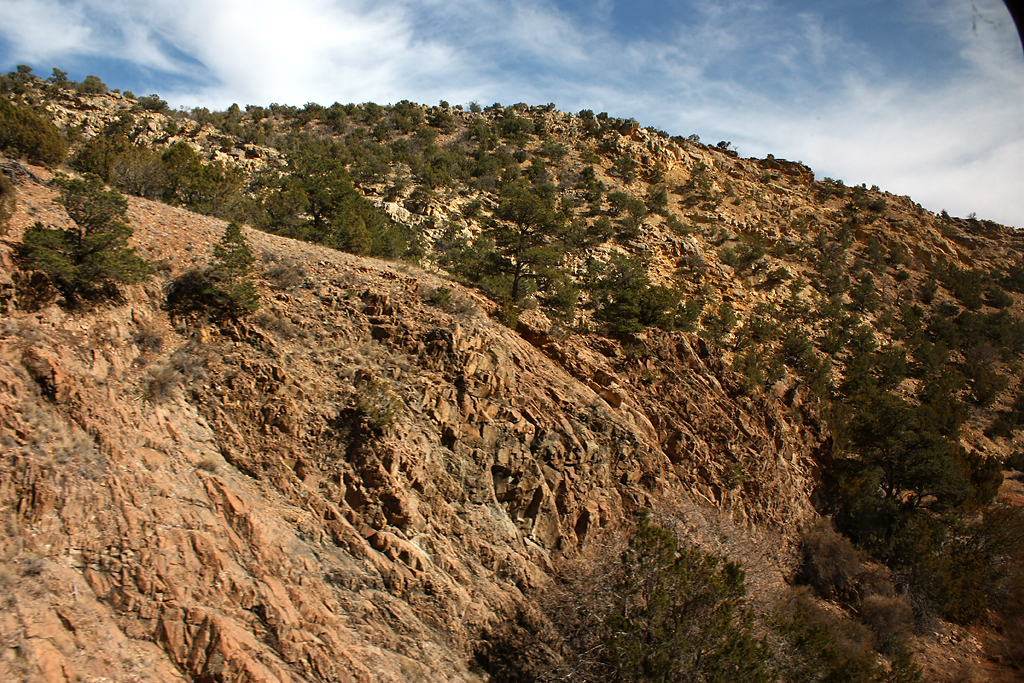
Starvation Peak
1-IMG_9294

2013-07-05 13.35.08
2013-07-05 13.40.32
Train Ride
Amtrak 4 at Chapelle
Looking Back At The Tracks
2013-07-05 13.36.14
2013-07-05 13.41.47
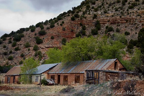
Villanueva, NM

Villanueva, NM
2013-07-05 13.35.07
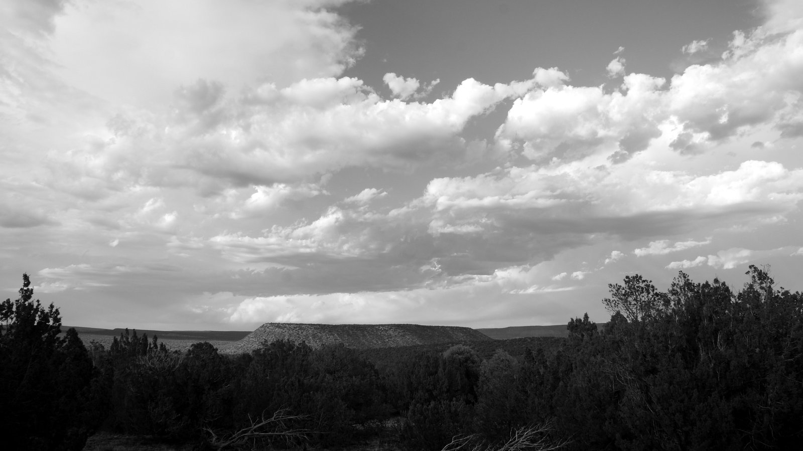
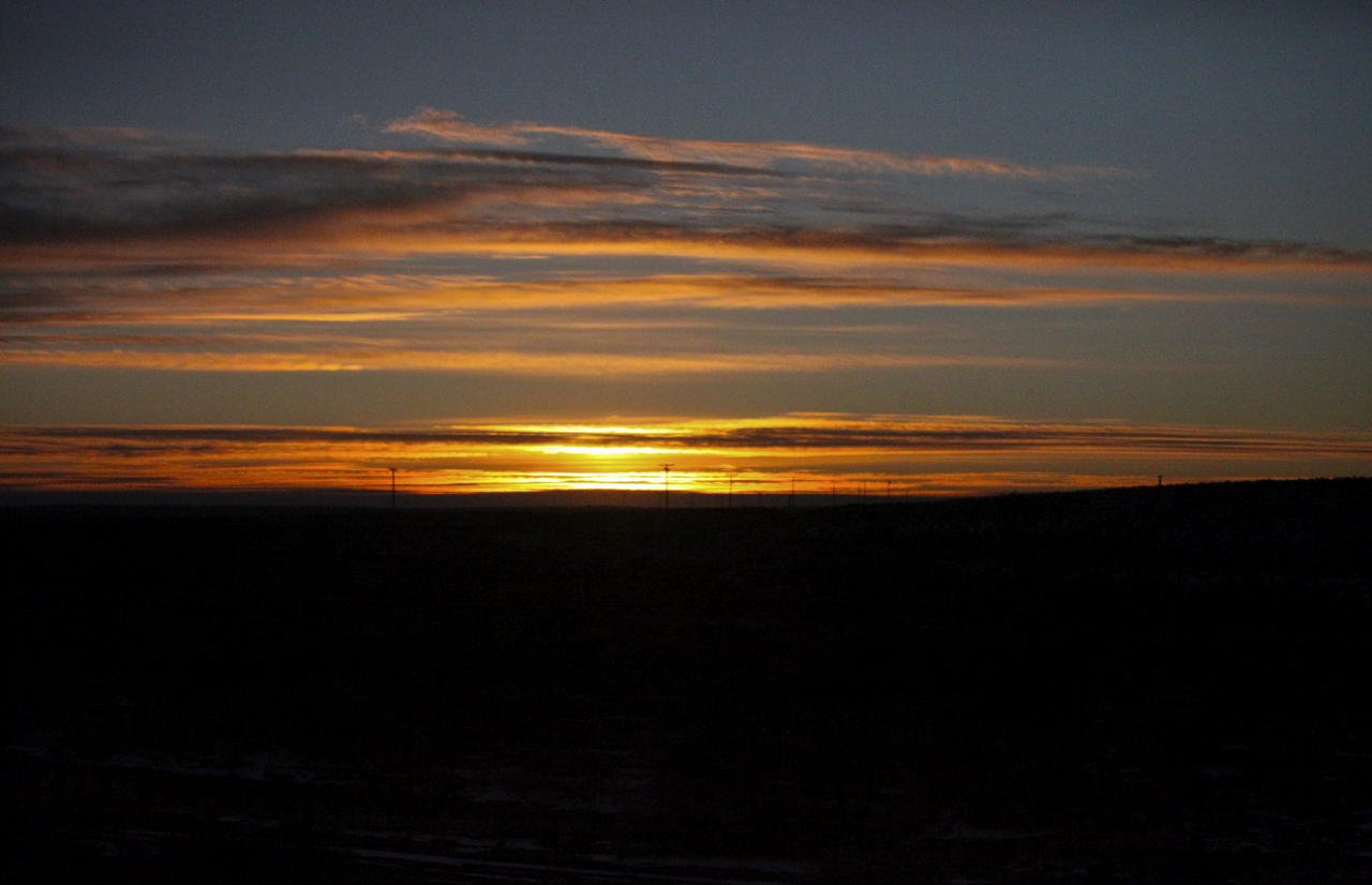
Cool Scenery
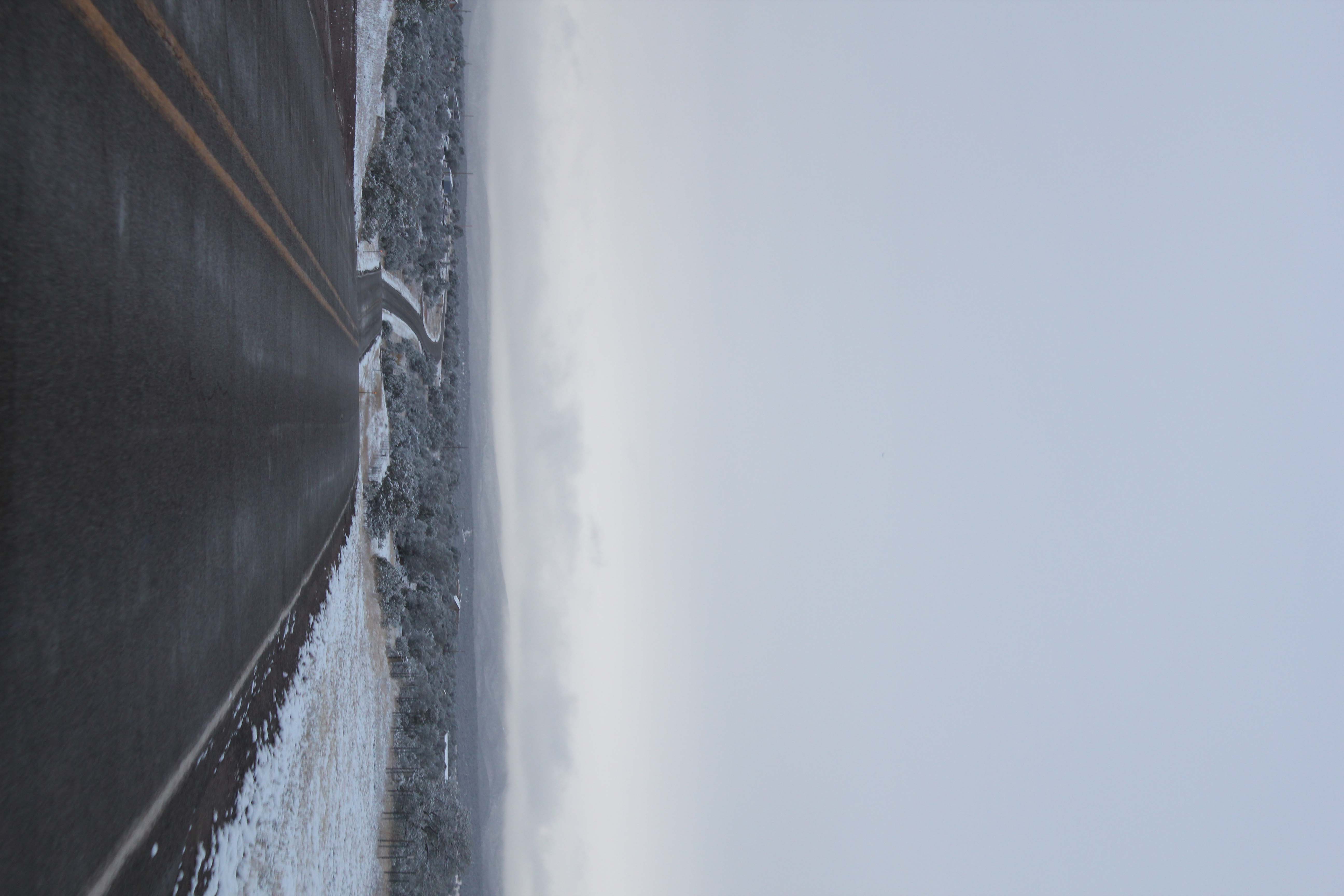
Winding Road in Snow
2013-07-05 13.40.34
P1010652.jpg
2013-07-05 13.41.26
Topographic Map of Camino Arbol, New Mexico, USA
Find elevation by address:

Places near Camino Arbol, New Mexico, USA:
County Rd B41F, Ribera, NM, USA
Ribera
224 Co Rd B41e
NM-3, Ribera, NM, USA
758 Nm-3
County Rd B26A, Serafina, NM, USA
14 County Rd B28A, Las Vegas, NM, USA
Villanueva
El Cerrito
San Geronimo Cabo Lucero Fire Department
County Road A18a
22 Cristo Rey Rd, Las Vegas, NM, USA
1817 Falls Creek Rd
9 Twin Ponds Ln
U.s. 84
Apache Mesa Road
Las Vegas Nm
720 Camino Maximiliano
2213 Hot Springs Blvd
2213 Hot Springs Blvd
Recent Searches:
- Elevation of State St, Zanesville, OH, USA
- Elevation of Austin Stone Dr, Haslet, TX, USA
- Elevation of Bydgoszcz, Poland
- Elevation of Bydgoszcz, Poland
- Elevation of Calais Dr, Del Mar, CA, USA
- Elevation of Placer Mine Ln, West Jordan, UT, USA
- Elevation of E 63rd St, New York, NY, USA
- Elevation of Elk City, OK, USA
- Elevation of Erika Dr, Windsor, CA, USA
- Elevation of Village Ln, Finleyville, PA, USA