Elevation of County Road A18A, Co Rd A18A, Las Vegas, NM, USA
Location: United States > New Mexico > Las Vegas >
Longitude: -105.42365
Latitude: 35.5951219
Elevation: 2159m / 7083feet
Barometric Pressure: 78KPa
Elevation Map:
Satellite Map:
Related Photos:
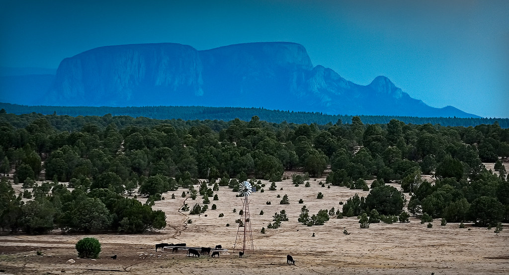
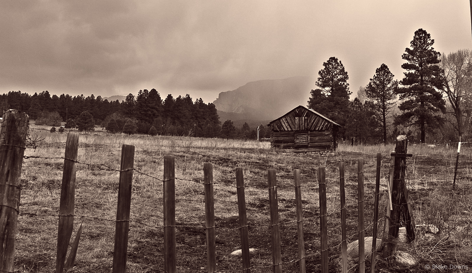
hermit's peak
Hermit Peak and the Turkey Mountains from Johnson Mesa
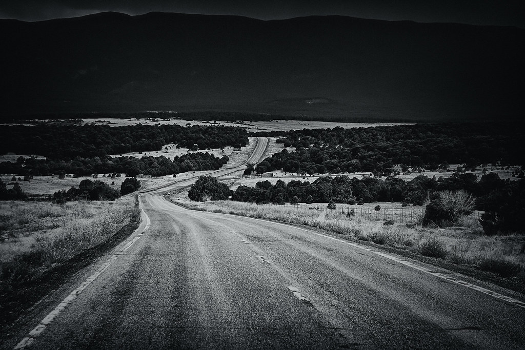
follow me down

Tecolote Fire and Hermit's Peak
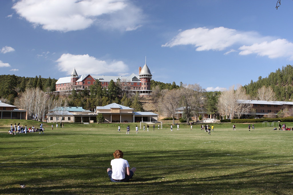
Gareth has a Great View of the Game
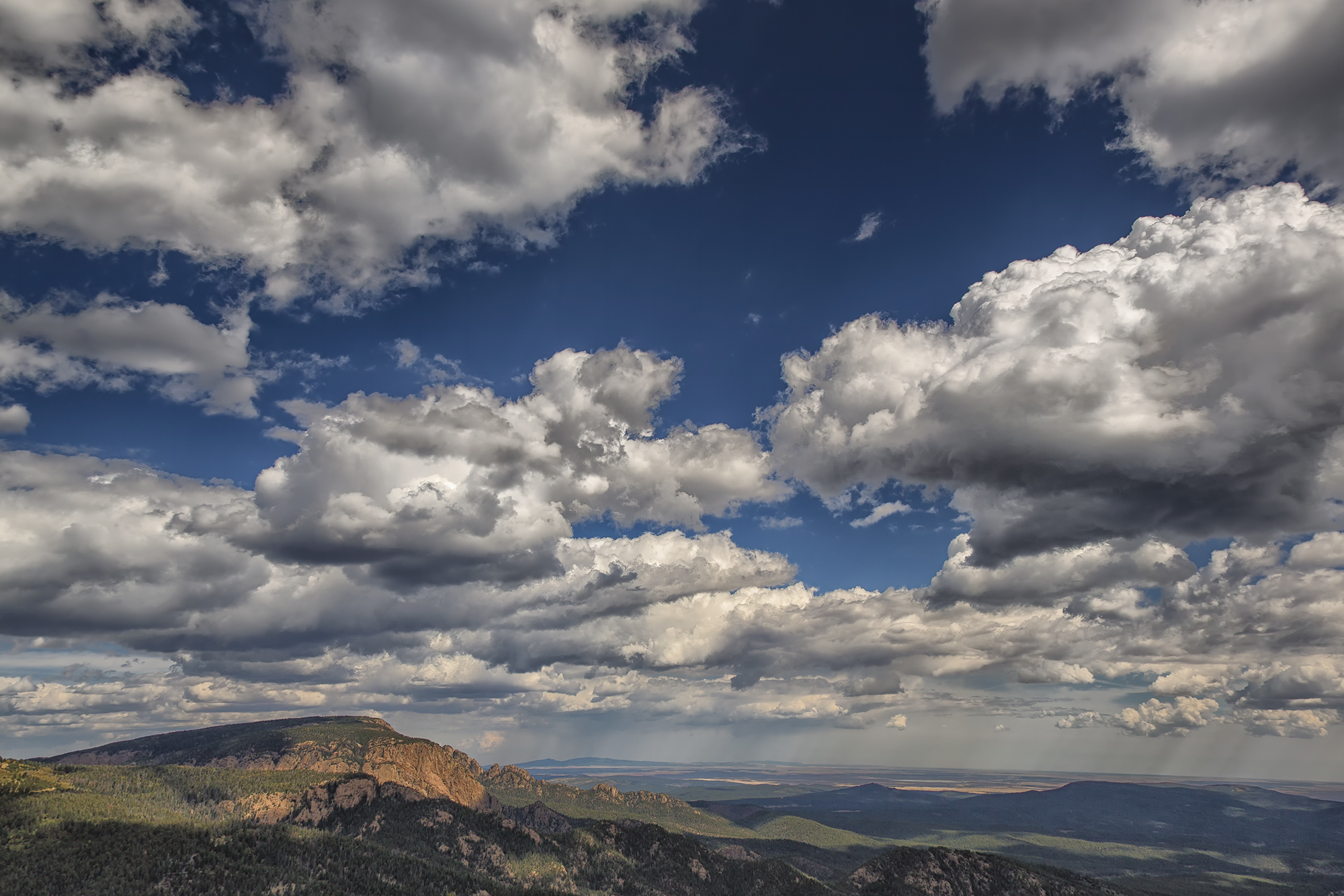
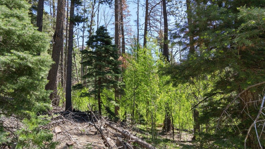
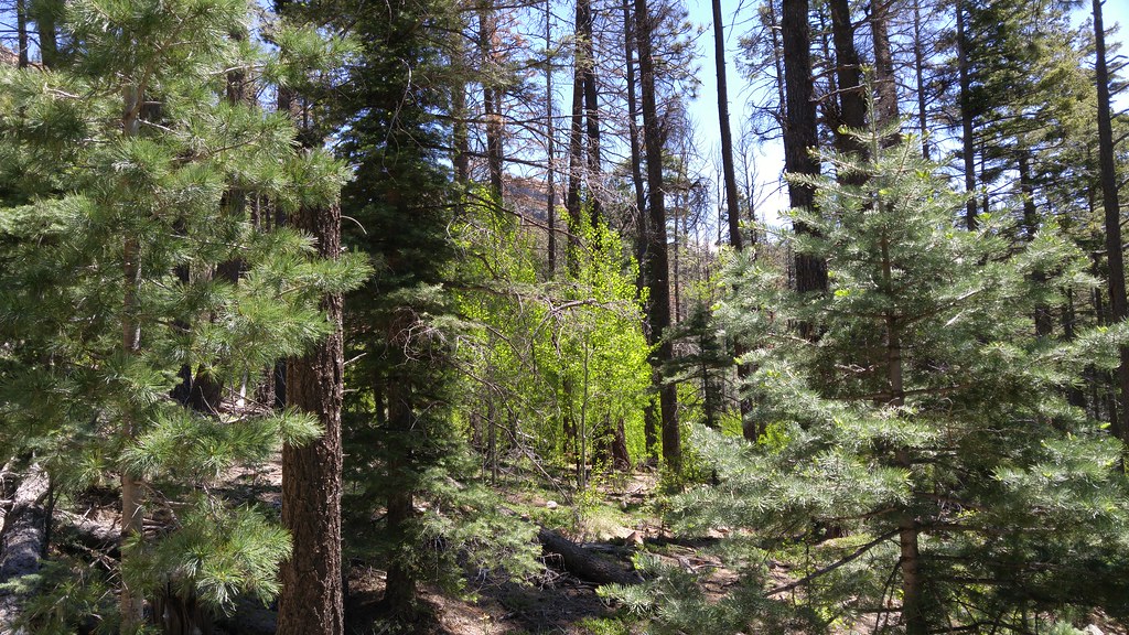
Living among the pines
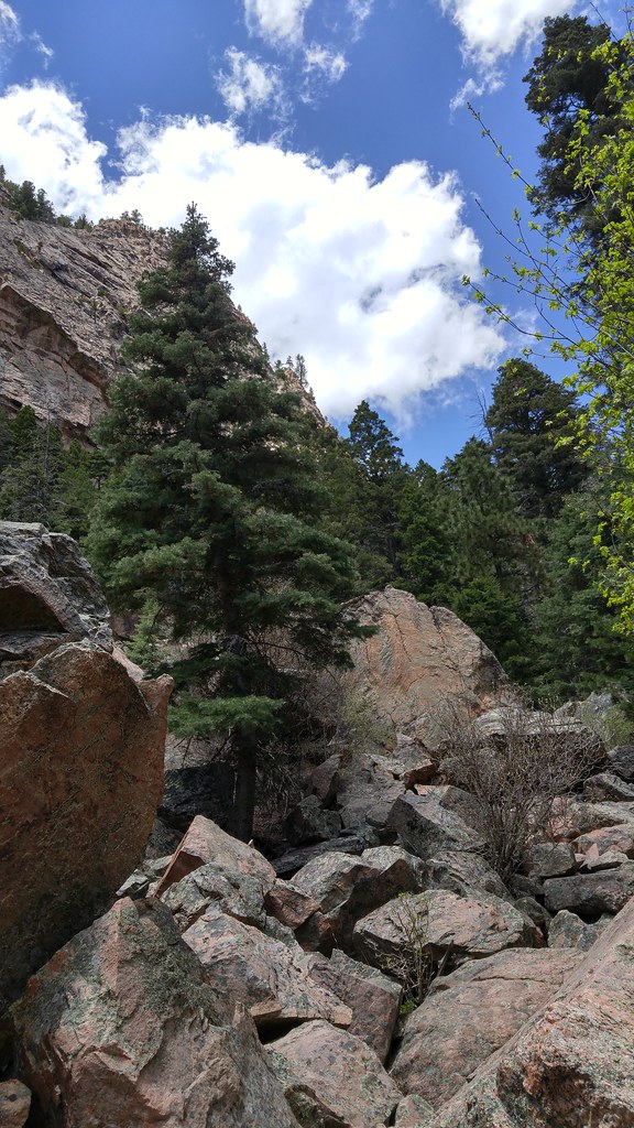
Photos from Hermits Peak hike
Las Vegas
Las Vegas

Las Vegas

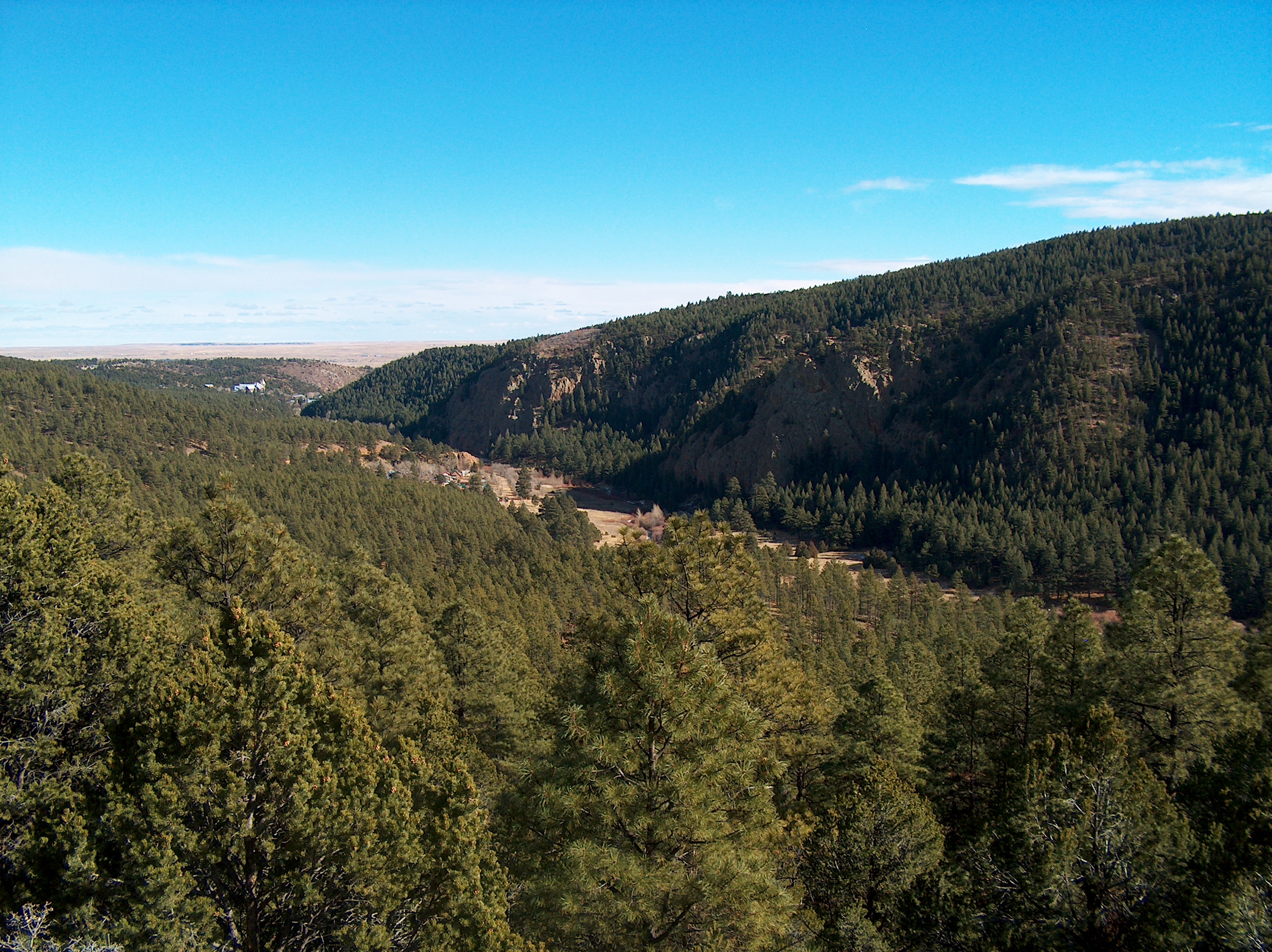
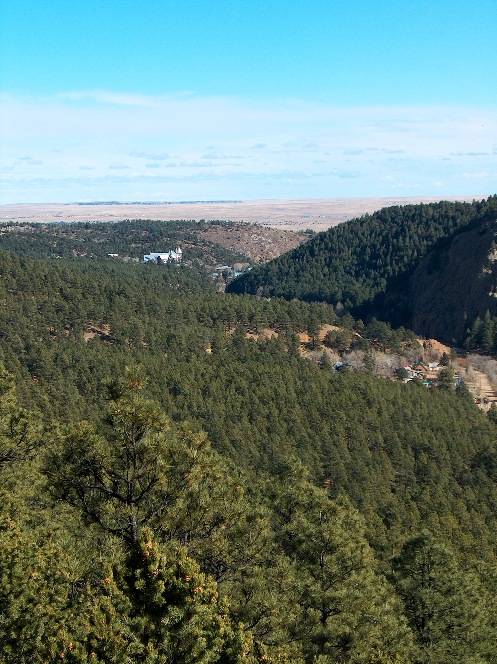
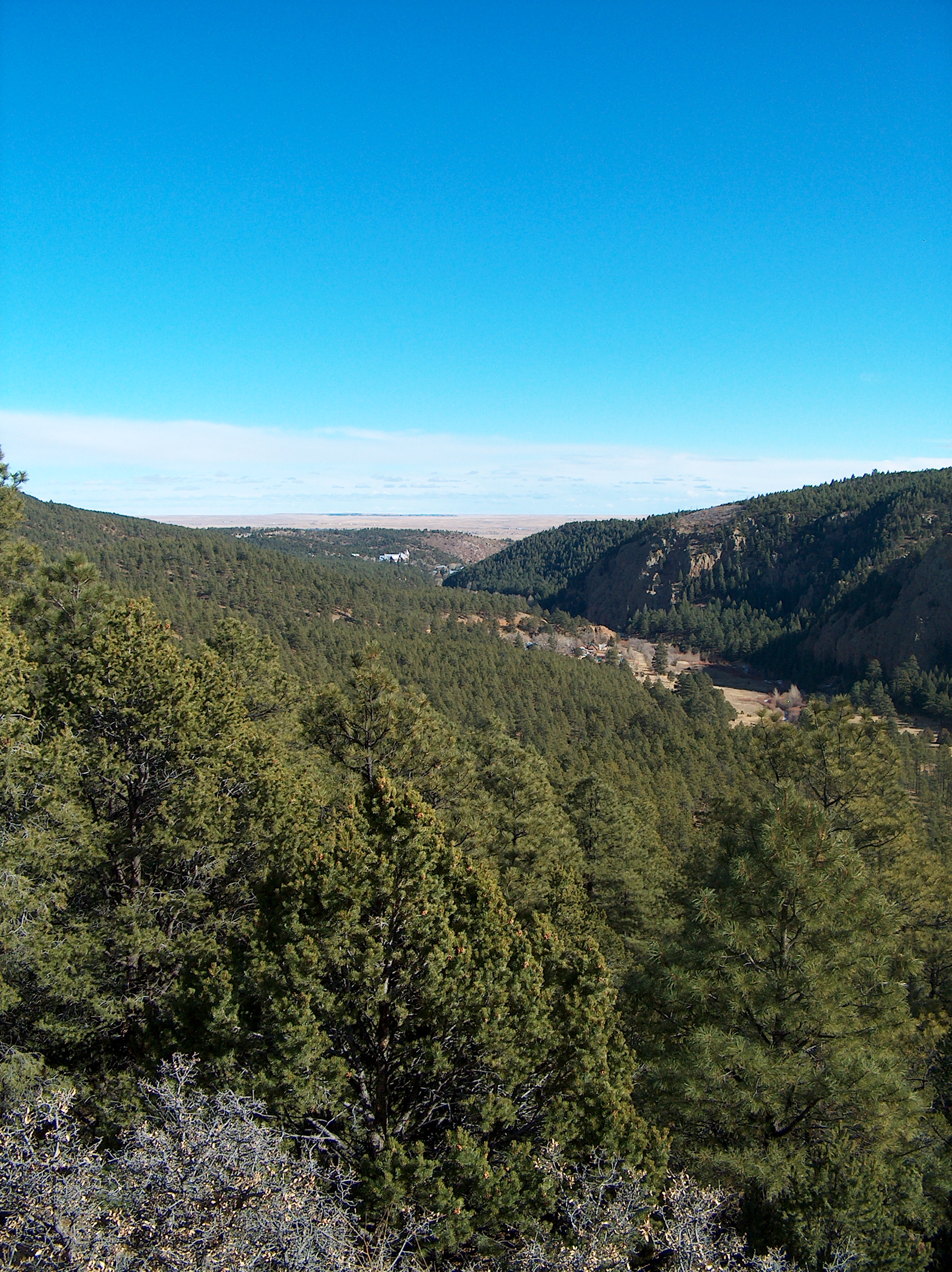
El Porvenir canyon from a distance
Photos from Hermits Peak hike
Las Vegas

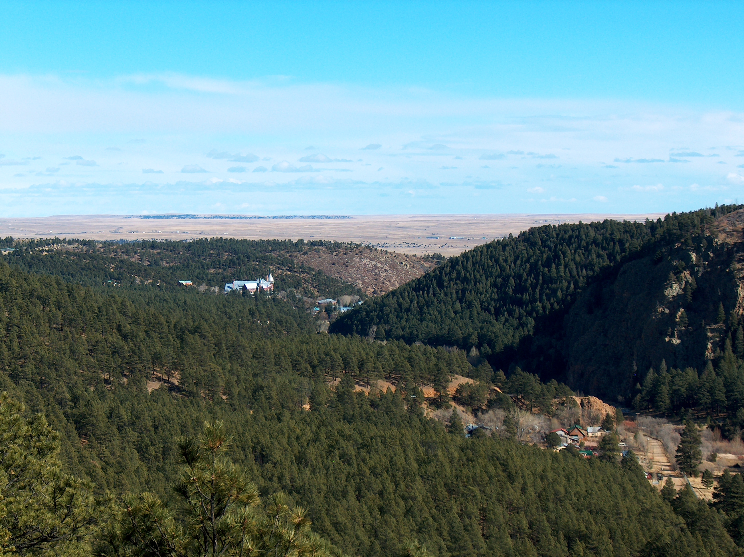
Photos from Hermits Peak hike
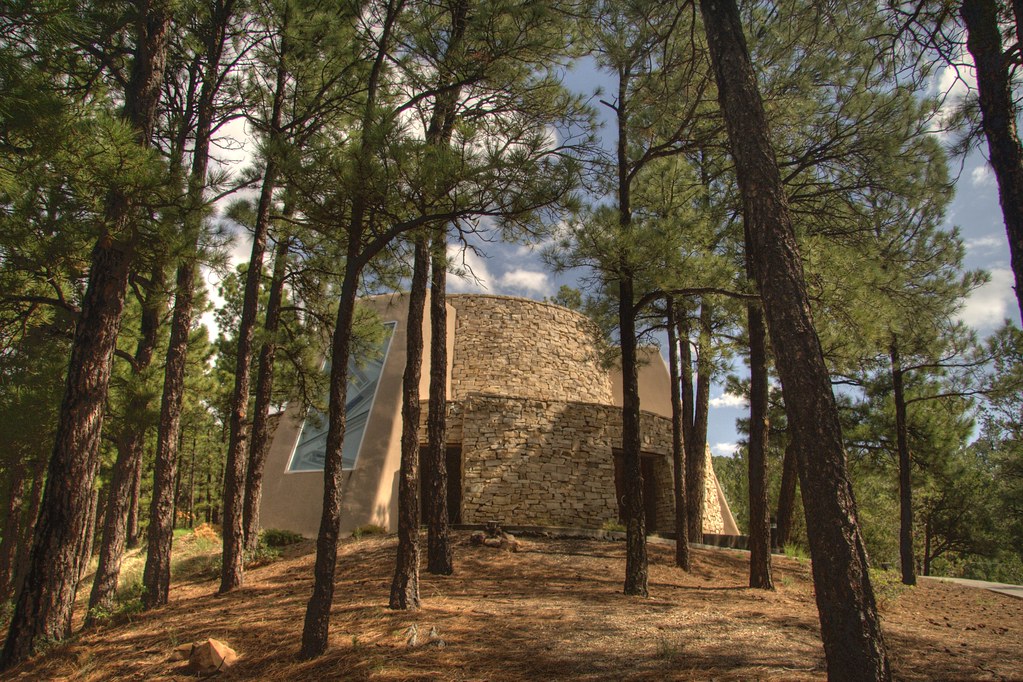
Dwan Light Sanctuary

Photos from Hermits Peak hike

Photos from Hermits Peak hike
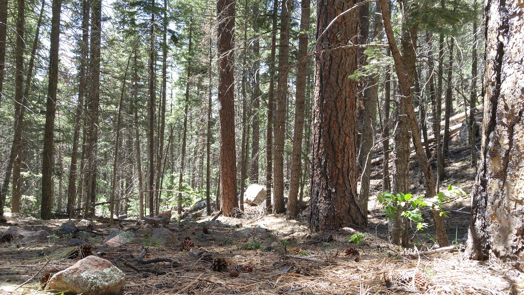
Photos from Hermits Peak hike
Photos from Hermits Peak hike

Photos from Hermits Peak hike
Photos from Hermits Peak hike
Photos from Hermits Peak hike
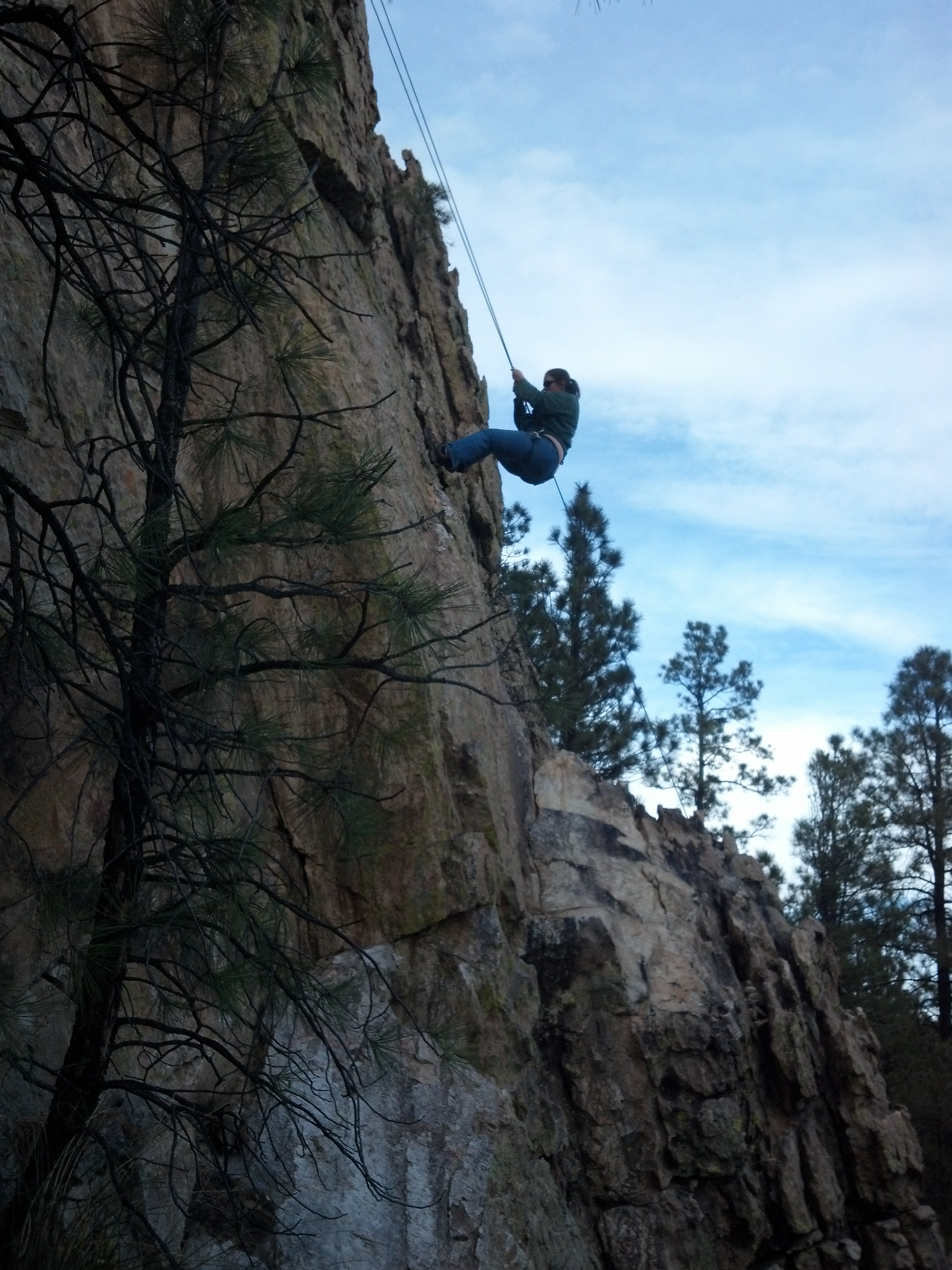
Climbing, Las Vegas NM
Las Vegas
Topographic Map of County Road A18A, Co Rd A18A, Las Vegas, NM, USA
Find elevation by address:

Places near County Road A18A, Co Rd A18A, Las Vegas, NM, USA:
1817 Falls Creek Rd
San Geronimo Cabo Lucero Fire Department
9 Twin Ponds Ln
7 St Joseph Dr
Montezuma
720 Camino Maximiliano
407 Cinder Rd
Cinder Road River Walk
U.s. 84
2213 Hot Springs Blvd
2213 Hot Springs Blvd
Bridge Street
East Las Vegas
Las Vegas
Storrie Lake State Park
Las Vegas Nm
12th St & Jackson St
12th St & Jackson St
12th St & Jackson St
407 11th St
Recent Searches:
- Elevation of Slanický ostrov, 01 Námestovo, Slovakia
- Elevation of Spaceport America, Co Rd A, Truth or Consequences, NM, USA
- Elevation of Warwick, RI, USA
- Elevation of Fern Rd, Whitmore, CA, USA
- Elevation of 62 Abbey St, Marshfield, MA, USA
- Elevation of Fernwood, Bradenton, FL, USA
- Elevation of Felindre, Swansea SA5 7LU, UK
- Elevation of Leyte Industrial Development Estate, Isabel, Leyte, Philippines
- Elevation of W Granada St, Tampa, FL, USA
- Elevation of Pykes Down, Ivybridge PL21 0BY, UK