Elevation of El Porvenir, NM, USA
Location: United States > New Mexico > San Miguel County > Montezuma >
Longitude: -105.38279
Latitude: 35.6967059
Elevation: -10000m / -32808feet
Barometric Pressure: 295KPa
Elevation Map:
Satellite Map:
Related Photos:

Hermit Peak and the Turkey Mountains from Johnson Mesa

Living among the pines
i walk among them

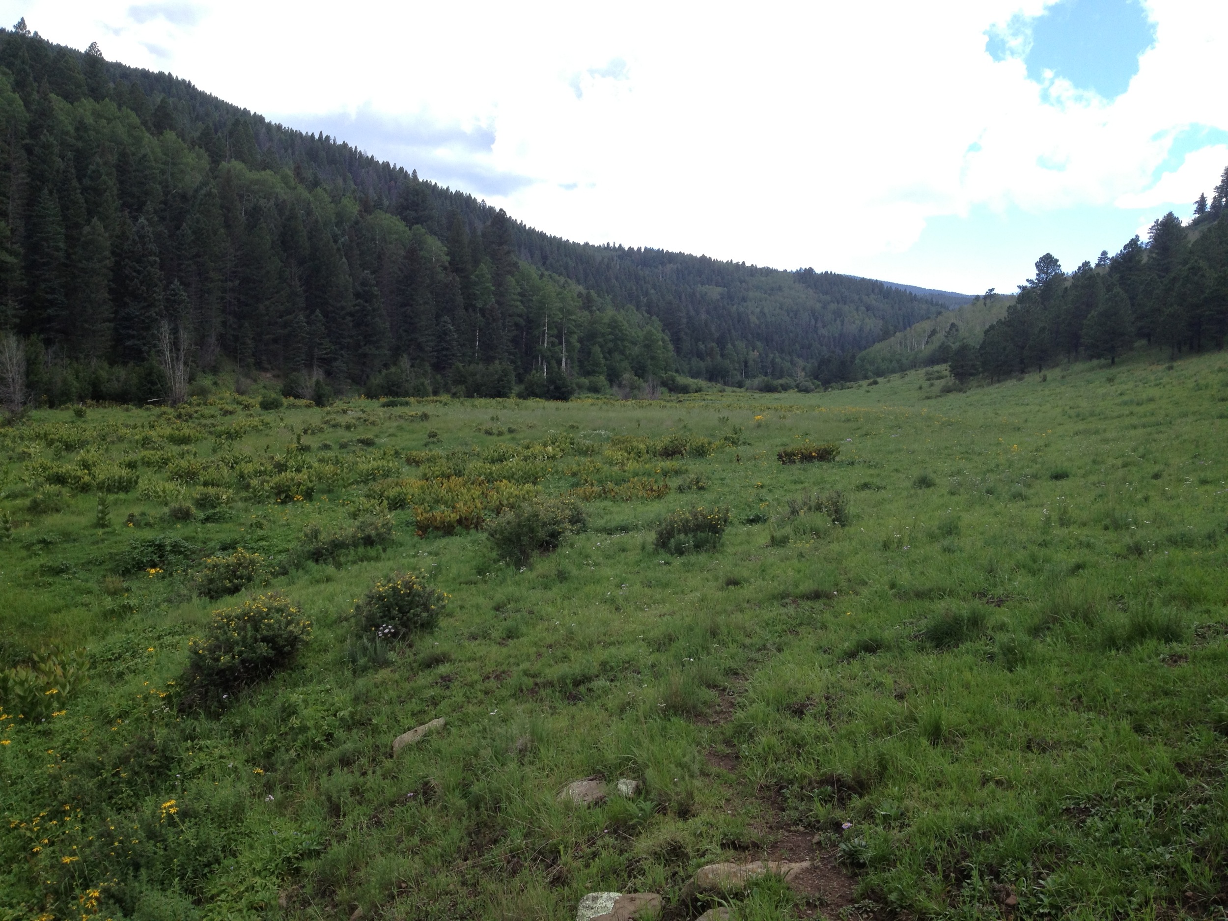
Lone Pine Meadow view from the north

Gareth has a Great View of the Game

Goodbye New Mexico.

PEEC Birders

Dwan Light Sanctuary

El Porvenir canyon from a distance
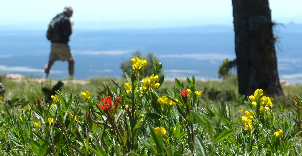
Lone Pine Meadow

Ominous skies ahead

Climbing, Las Vegas NM

Sunrise on Hermit's Peak

Beautiful NM sunset

Climbing, Las Vegas NM

Climbing, Las Vegas NM
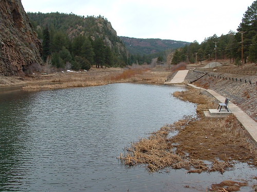
ye olde skating pond

Photos from Hermits Peak hike

Photos from Hermits Peak hike

Photos from Hermits Peak hike

Photos from Hermits Peak hike

Photos from Hermits Peak hike

Photos from Hermits Peak hike

Photos from Hermits Peak hike
Topographic Map of El Porvenir, NM, USA
Find elevation by address:

Places near El Porvenir, NM, USA:
El Porvenir Campground
1 Christian Camp Dr
Hermit Peak
El Cielo Mountain
9 Twin Ponds Ln
7 St Joseph Dr
1817 Falls Creek Rd
San Geronimo Cabo Lucero Fire Department
County Road A18a
Montezuma
30 E Meadow Ln
21 Alta Vista
Rociada
Lone Pine Mesa
111 Co Rd A1
111 Co Rd A1
111 Co Rd A1
111 Co Rd A1
111 Co Rd A1
111 Co Rd A1
Recent Searches:
- Elevation of Jalan Senandin, Lutong, Miri, Sarawak, Malaysia
- Elevation of Bilohirs'k
- Elevation of 30 Oak Lawn Dr, Barkhamsted, CT, USA
- Elevation of Luther Road, Luther Rd, Auburn, CA, USA
- Elevation of Unnamed Road, Respublika Severnaya Osetiya — Alaniya, Russia
- Elevation of Verkhny Fiagdon, North Ossetia–Alania Republic, Russia
- Elevation of F. Viola Hiway, San Rafael, Bulacan, Philippines
- Elevation of Herbage Dr, Gulfport, MS, USA
- Elevation of Lilac Cir, Haldimand, ON N3W 2G9, Canada
- Elevation of Harrod Branch Road, Harrod Branch Rd, Kentucky, USA