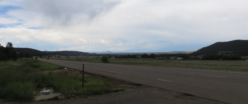
Elevation of State Rte, Rociada, NM, USA
Location: United States > New Mexico > Rociada >
Longitude: -105.40094
Latitude: 35.843294
Elevation: 2289m / 7510feet
Barometric Pressure: 77KPa
Elevation Map:
Satellite Map:
Related Photos:
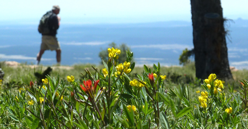
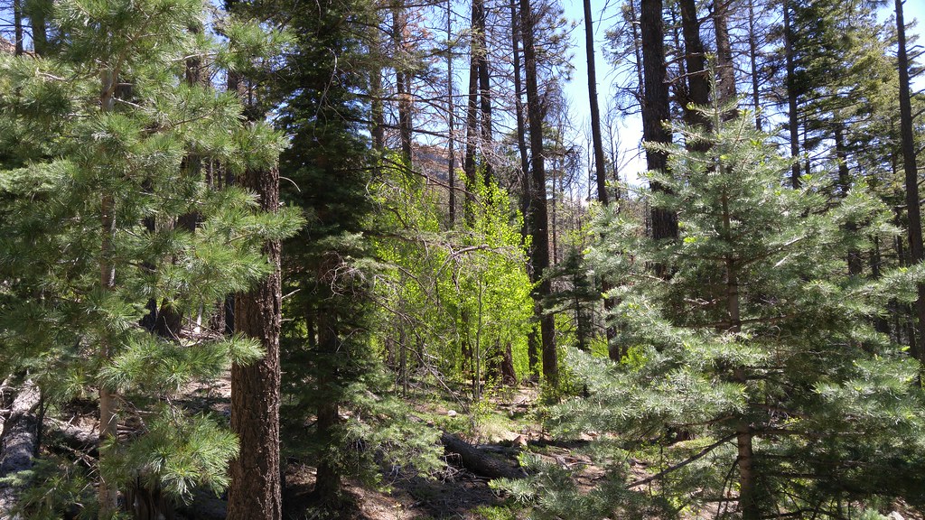
i walk among them
Lone Pine Meadow view from the north
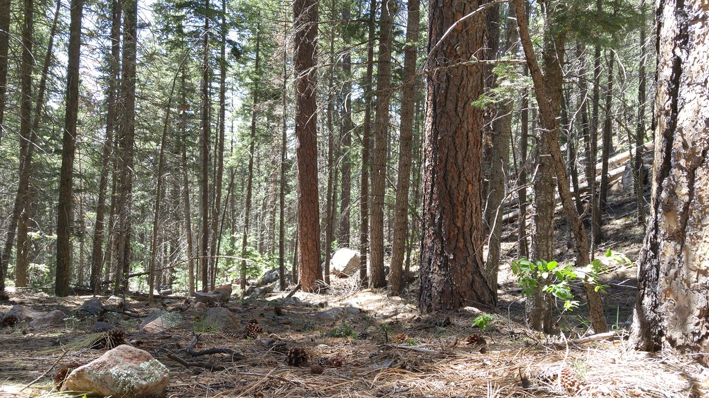
Downed tree
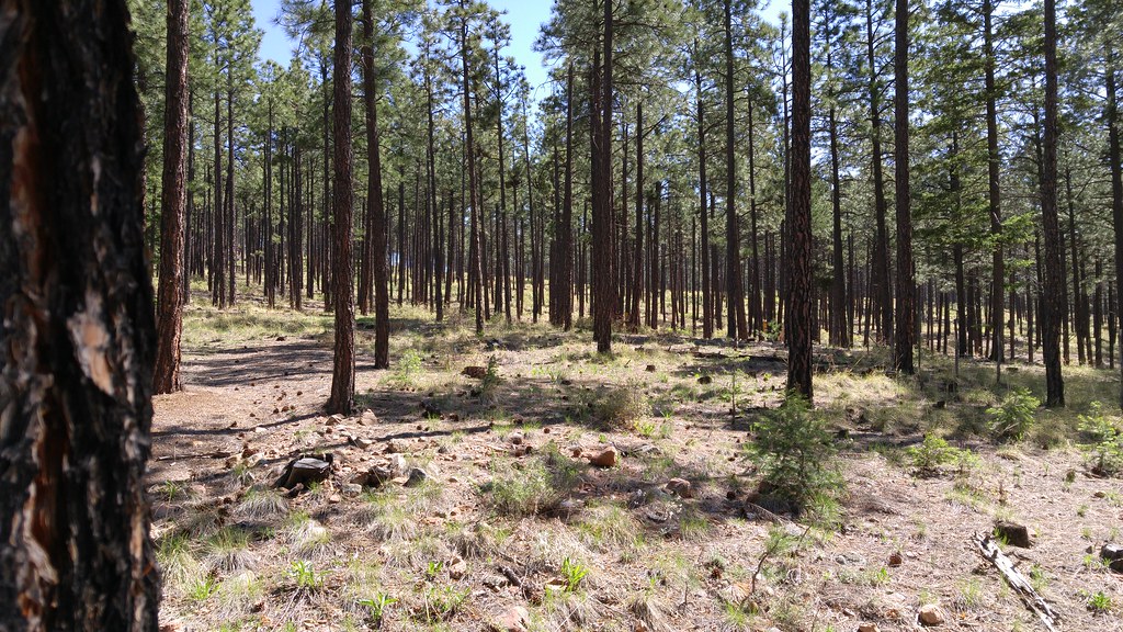
Not what I expected from New Mexico.

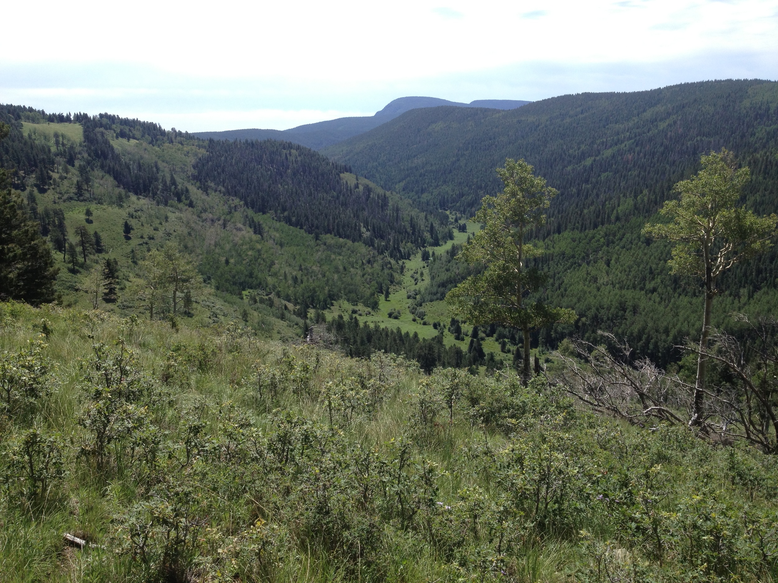
El Porvenir canyon from a distance
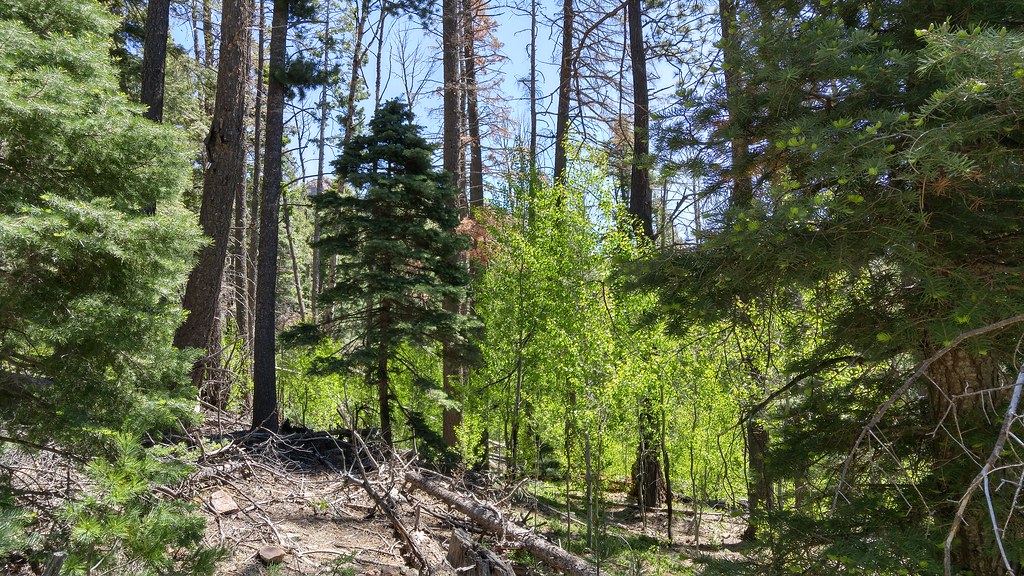
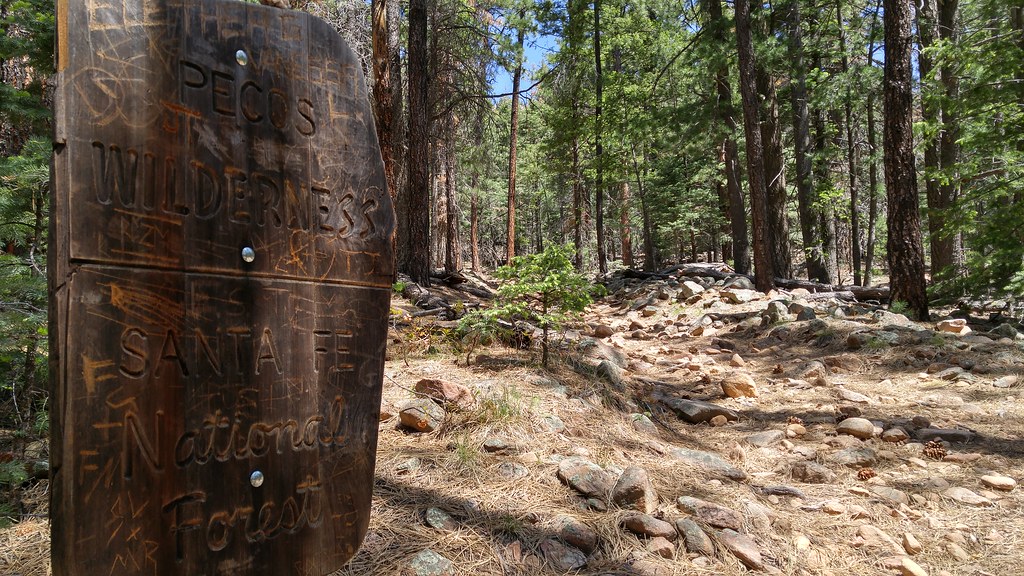
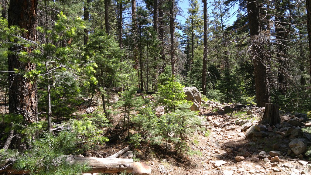
Photos from Hermits Peak hike

Photos from Hermits Peak hike

Photos from Hermits Peak hike
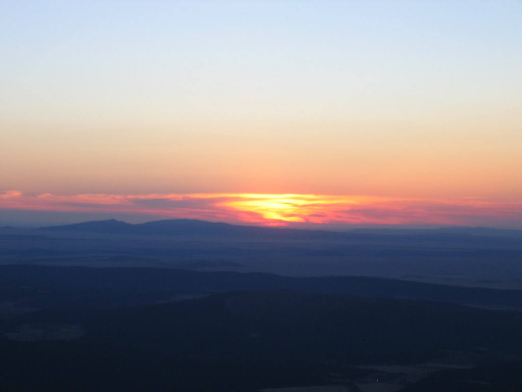
Sunrise on Hermit's Peak

Photos from Hermits Peak hike
Photos from Hermits Peak hike

Photos from Hermits Peak hike
Photos from Hermits Peak hike
Photos from Hermits Peak hike
Photos from Hermits Peak hike
Photos from Hermits Peak hike
Photos from Hermits Peak hike

Photos from Hermits Peak hike

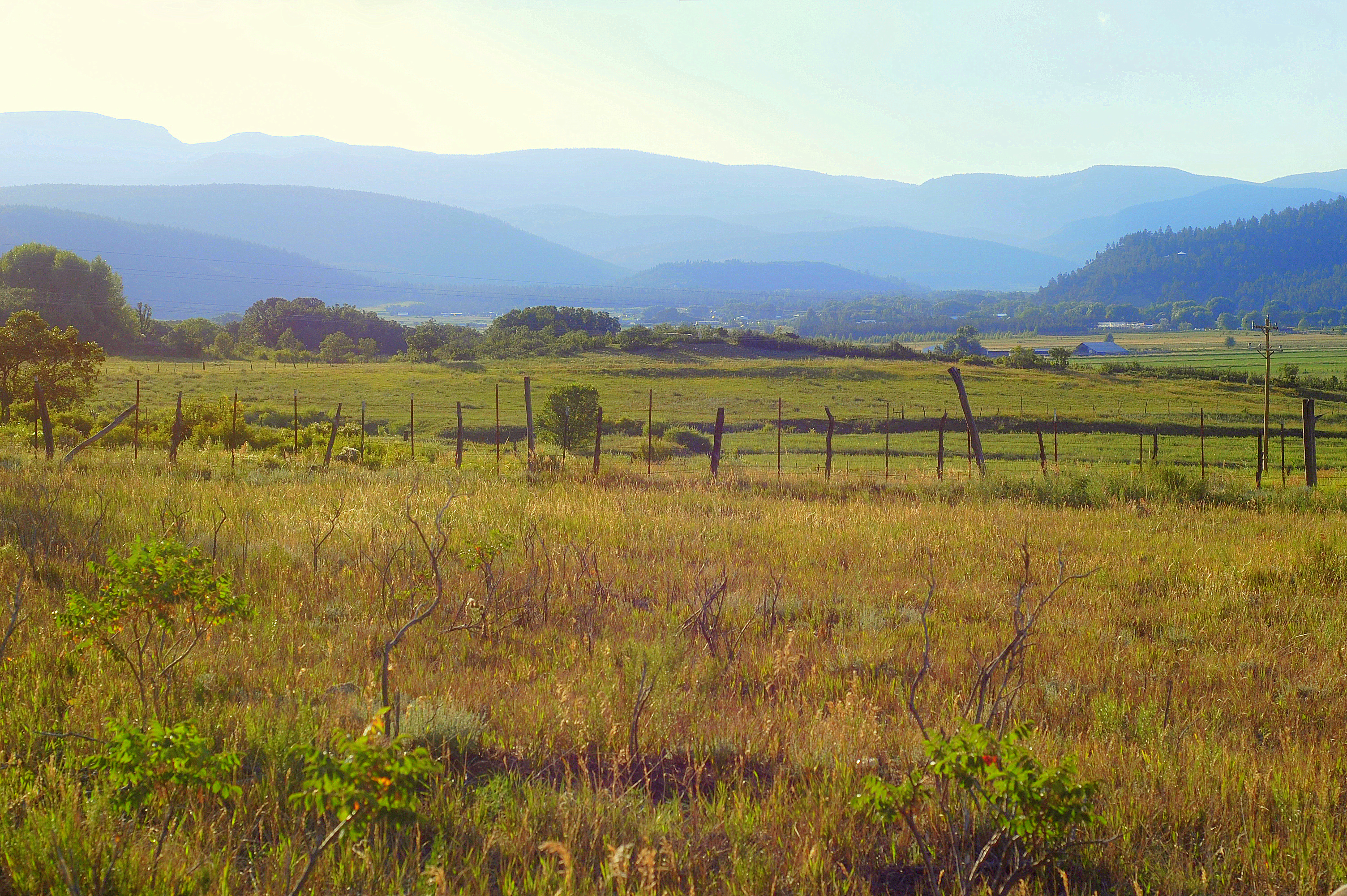
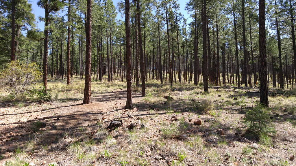
Rocky Mountain Foothills Landscape (Buena Vista, New Mexico)
Rocky Mountain Foothills Landscape (Buena Vista, New Mexico)
Topographic Map of State Rte, Rociada, NM, USA
Find elevation by address:

Places near State Rte, Rociada, NM, USA:
21 Alta Vista
Rociada
State Route 105
30 E Meadow Ln
Lone Pine Mesa
305 County Rd A042
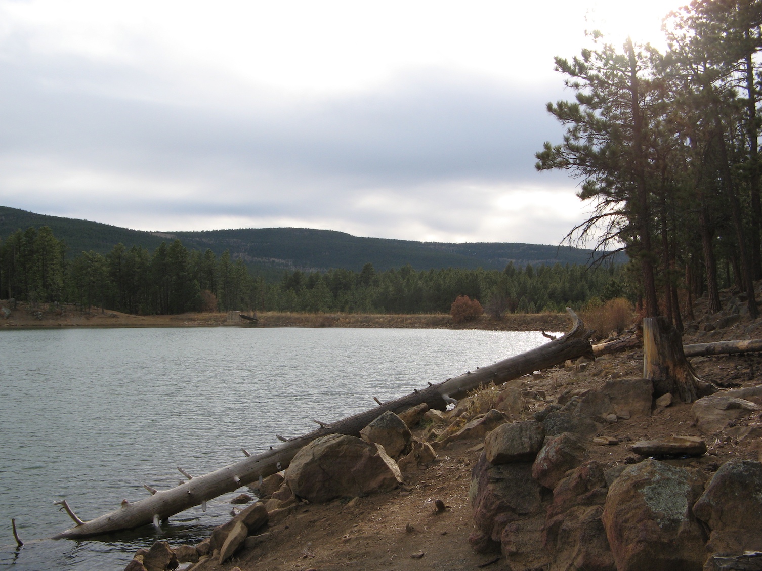
Morphy Lake
Hermit Peak
Monte Aplanado Road
Fragoso Ridge
El Cielo Mountain
Capulin Hill
1 Christian Camp Dr
El Porvenir Campground
NM-, Cleveland, NM, USA
El Porvenir
Mora County
Mora
Cleveland
NM-, Mora, NM, USA
Recent Searches:
- Elevation of Luther Road, Luther Rd, Auburn, CA, USA
- Elevation of Unnamed Road, Respublika Severnaya Osetiya — Alaniya, Russia
- Elevation of Verkhny Fiagdon, North Ossetia–Alania Republic, Russia
- Elevation of F. Viola Hiway, San Rafael, Bulacan, Philippines
- Elevation of Herbage Dr, Gulfport, MS, USA
- Elevation of Lilac Cir, Haldimand, ON N3W 2G9, Canada
- Elevation of Harrod Branch Road, Harrod Branch Rd, Kentucky, USA
- Elevation of Wyndham Grand Barbados Sam Lords Castle All Inclusive Resort, End of Belair Road, Long Bay, Bridgetown Barbados
- Elevation of Iga Trl, Maggie Valley, NC, USA
- Elevation of N Co Rd 31D, Loveland, CO, USA