Elevation of East New Market, MD, USA
Location: United States > Maryland > Dorchester County > 2, East New Market >
Longitude: -75.9260475
Latitude: 38.5990056
Elevation: 12m / 39feet
Barometric Pressure: 0KPa
Related Photos:

View from my room

Mushroom - Explored
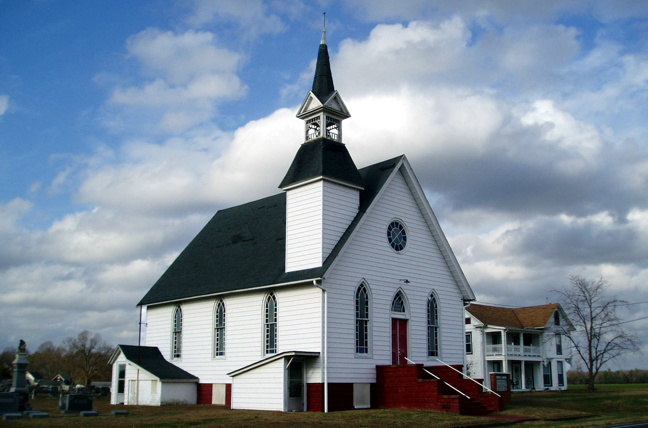
Eldorado U.M. Church
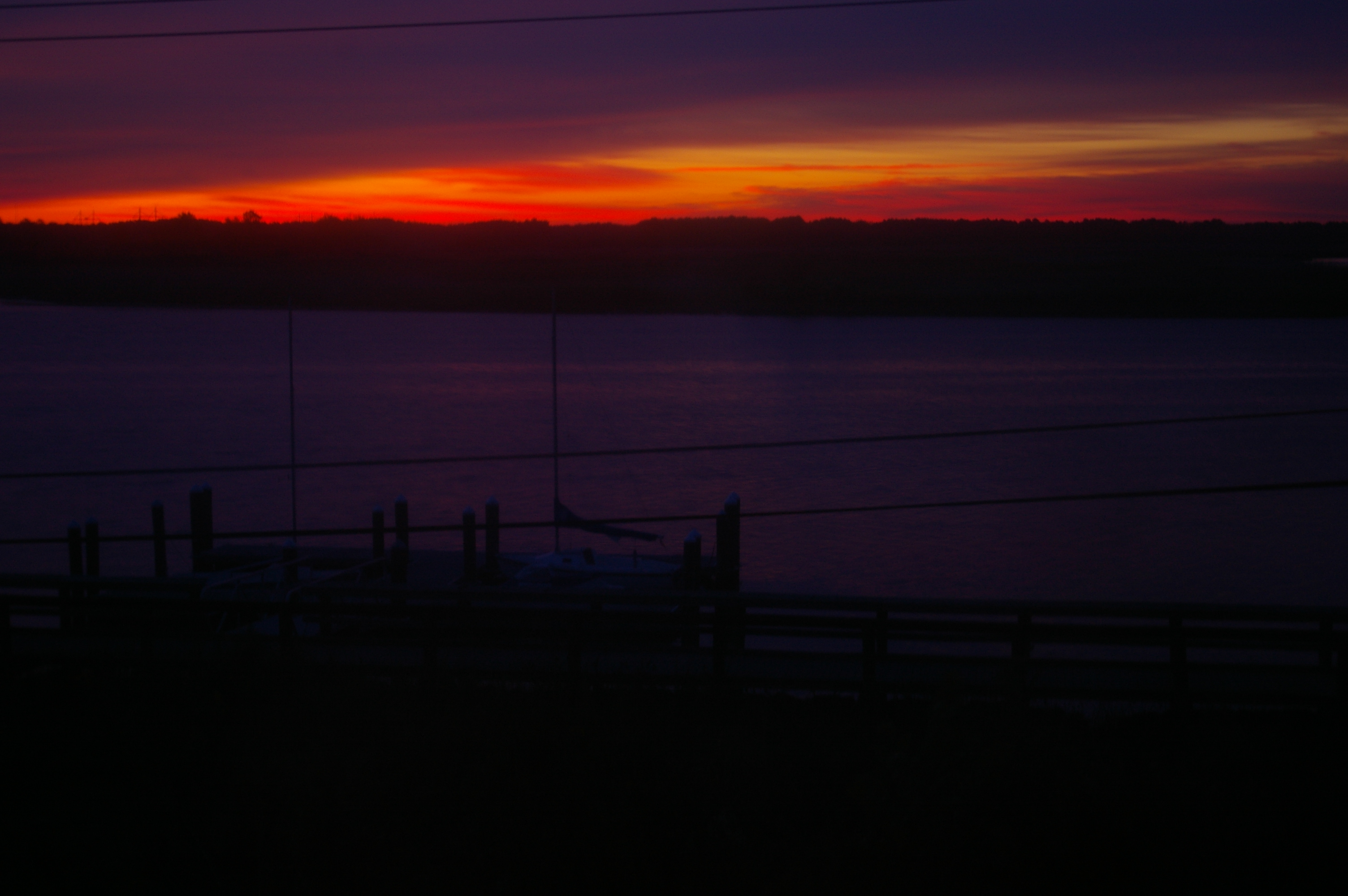
Sunrise Over the Nanticoke 1

Hyatt Chesapeake Golf Course

Chesapeak bay Hyatt

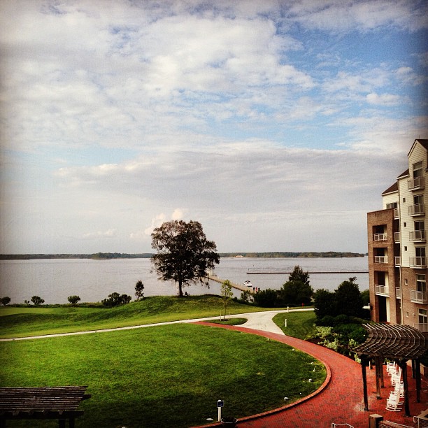
Pool View
Room with a view - at ACT/IAC's #MOC2013 - looking forward to moderating panels Monday
Chesapeake View
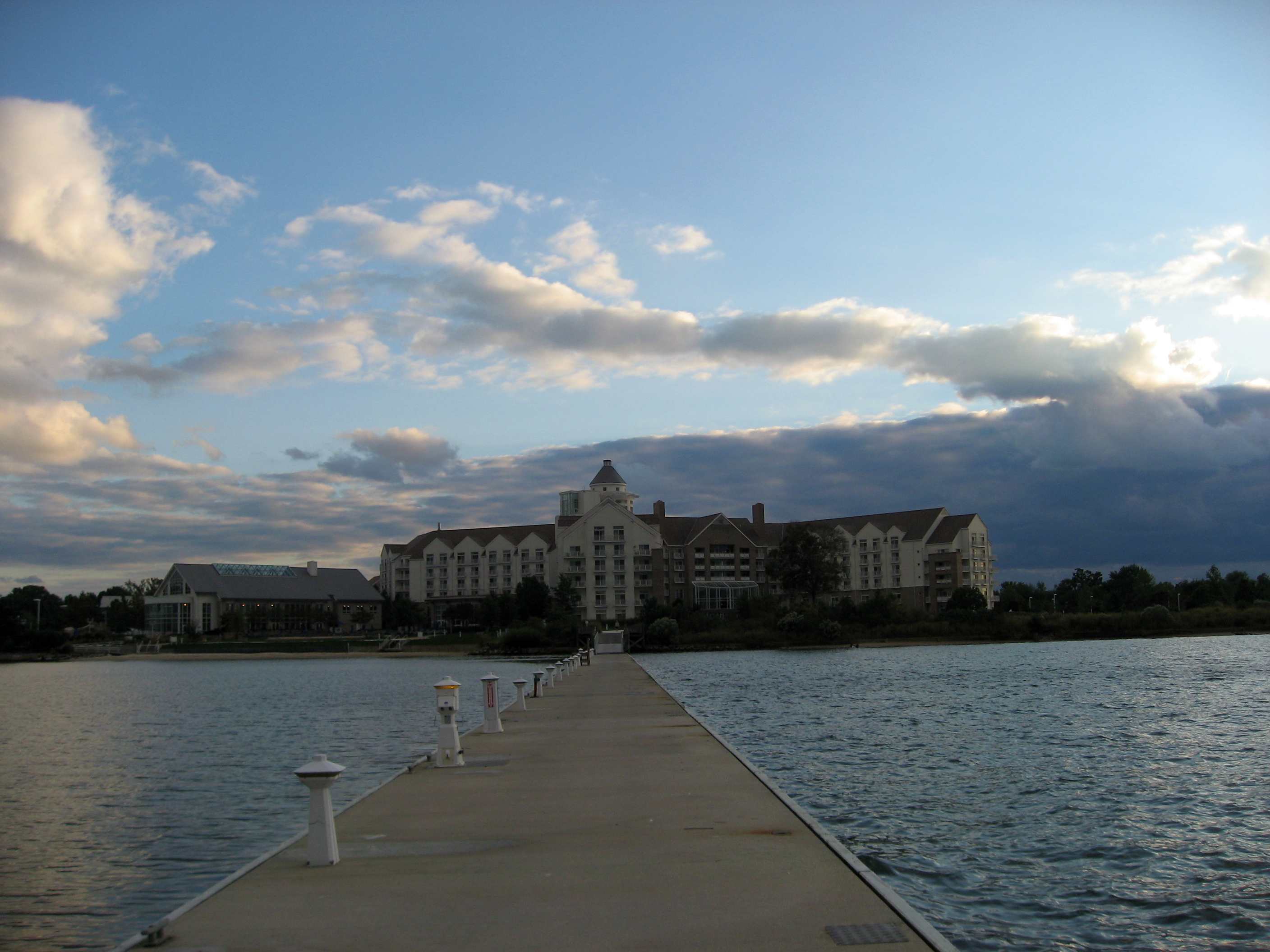
Hyatt Regency Chesapeake Bay
Old White Marsh Episcopal Church
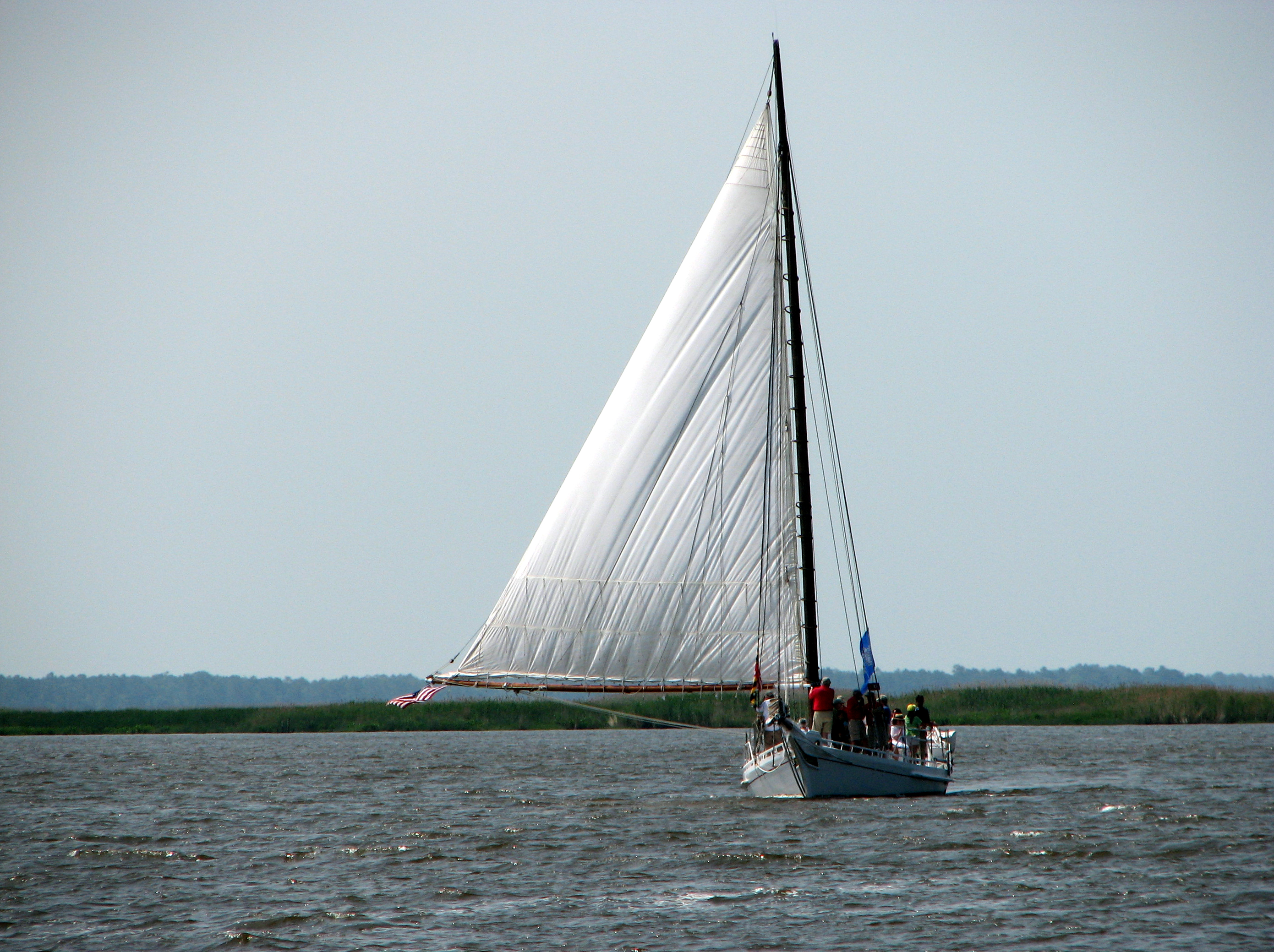
The Skipjack "Nathan of Dorchester"
Clouds over the Choptank
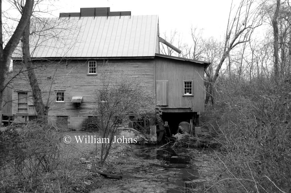
F. S. Langrell Linchester Flouring Mill: Rear View
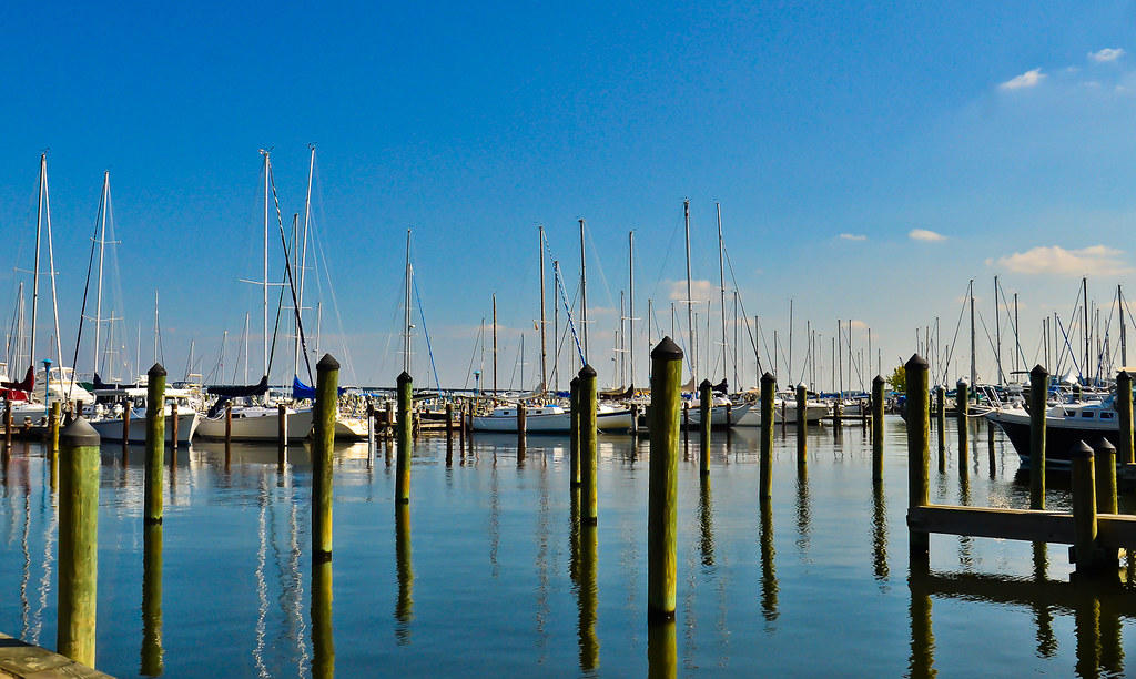
Sailwinds Park, Cambridge, MD - 06

How To Make A Flint Knife Edge
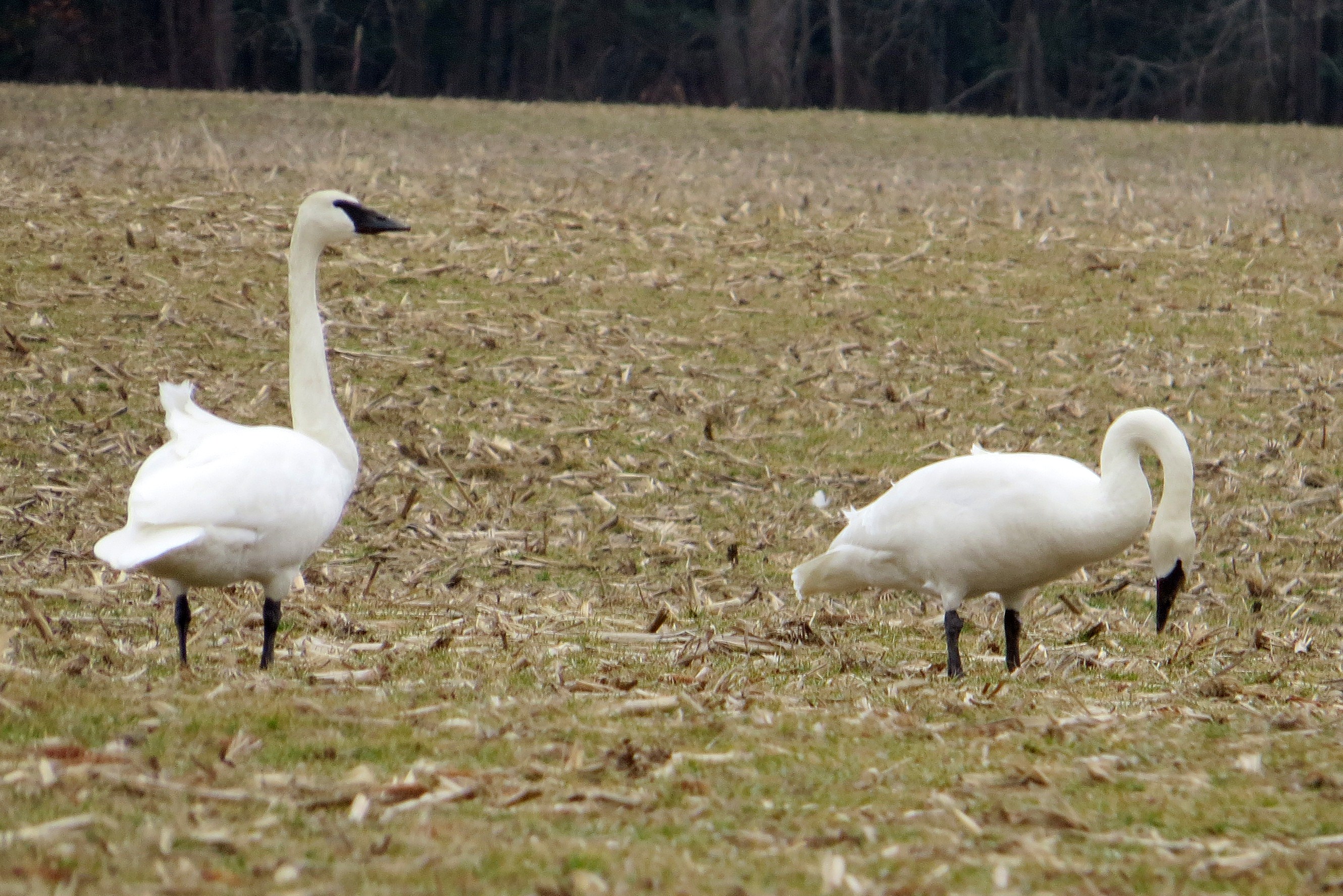
Trumpeter Swan
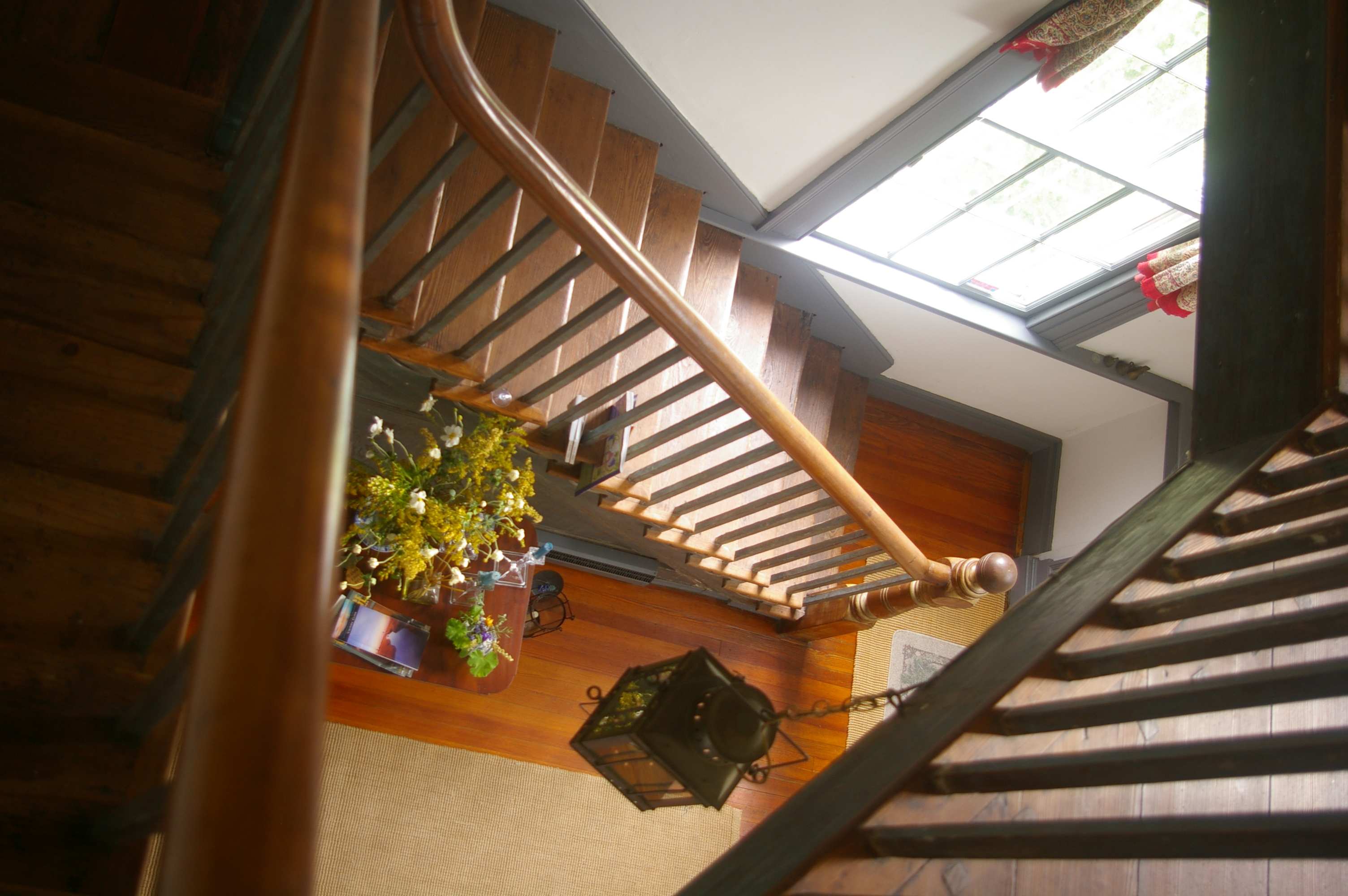
View Down the Stairs
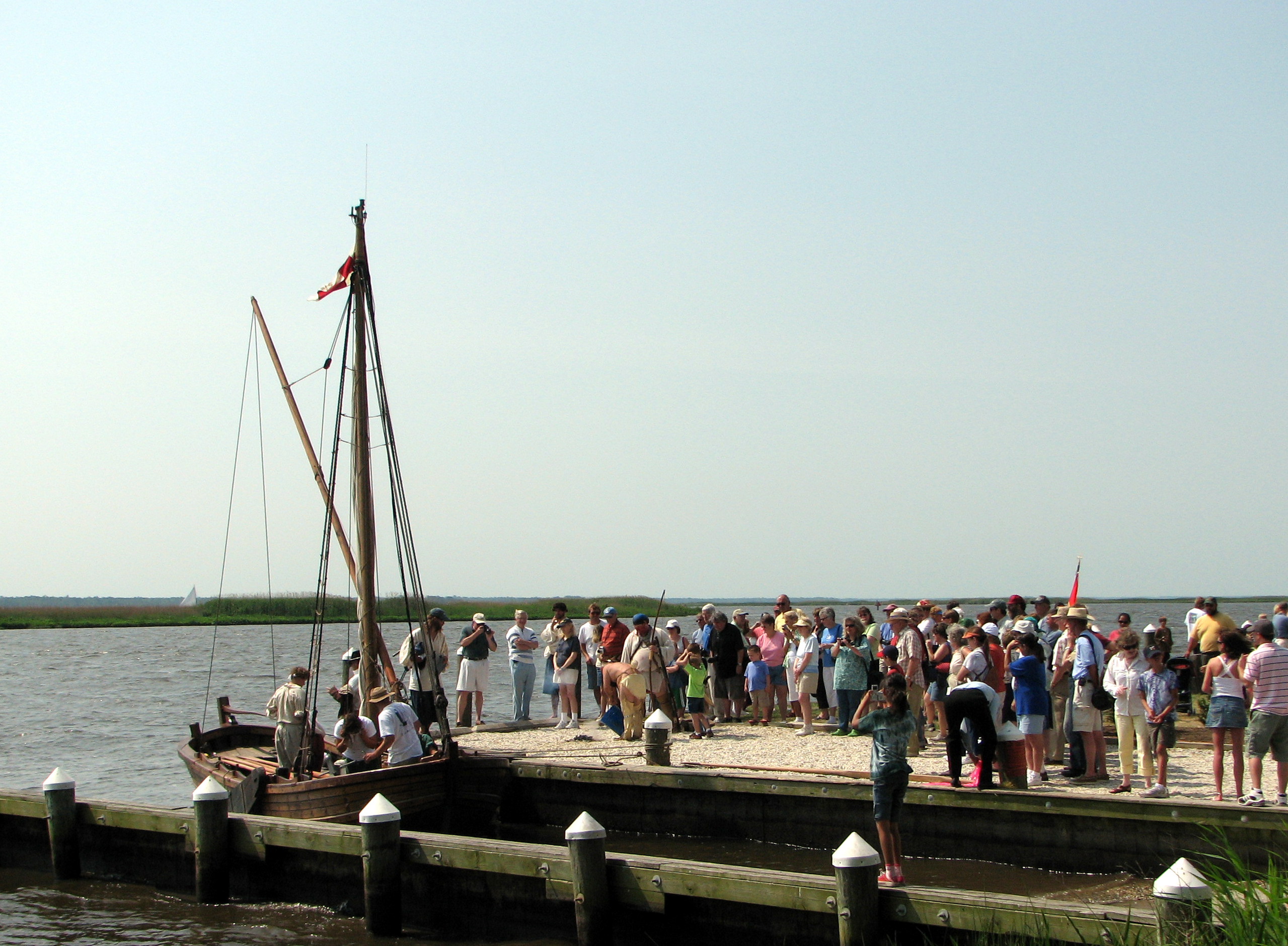
Checking Out The Shallop
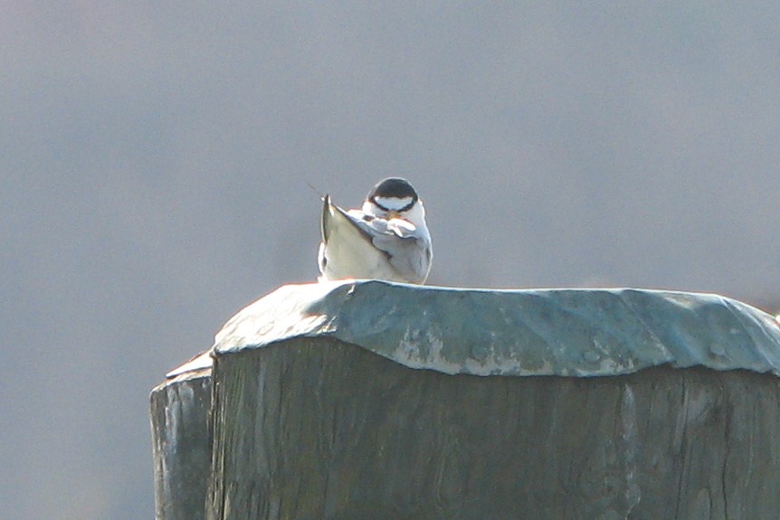
Least Tern
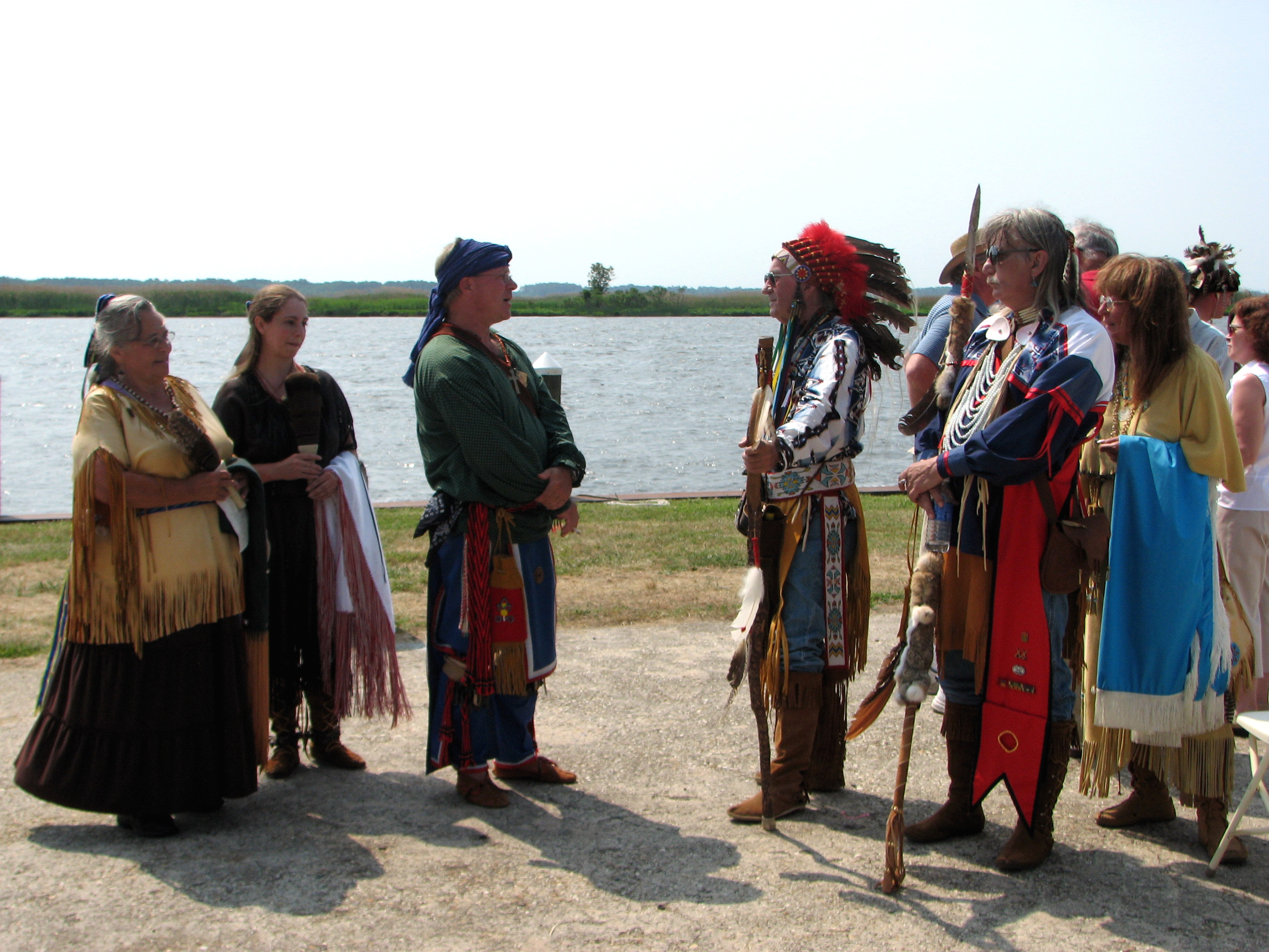
The People Who Greeted Captain John Smith
Trying the fishing out in Maryland. #nobites

Trying the fishing out in Maryland. #nobites
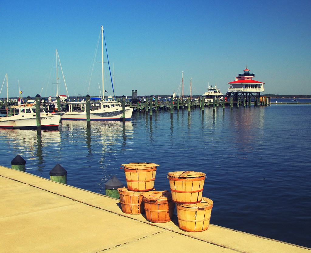
Crab Baskets at the Choptank River Lighthouse
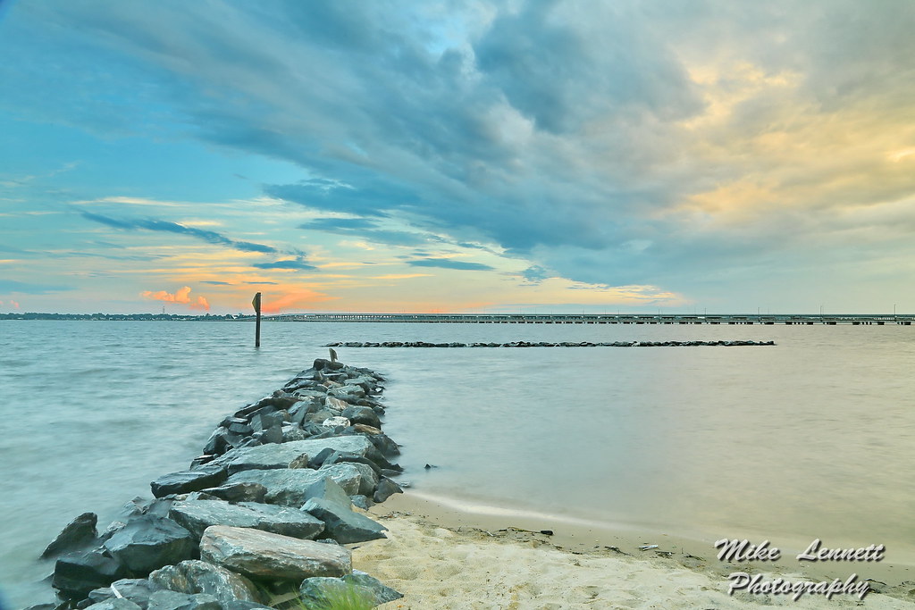
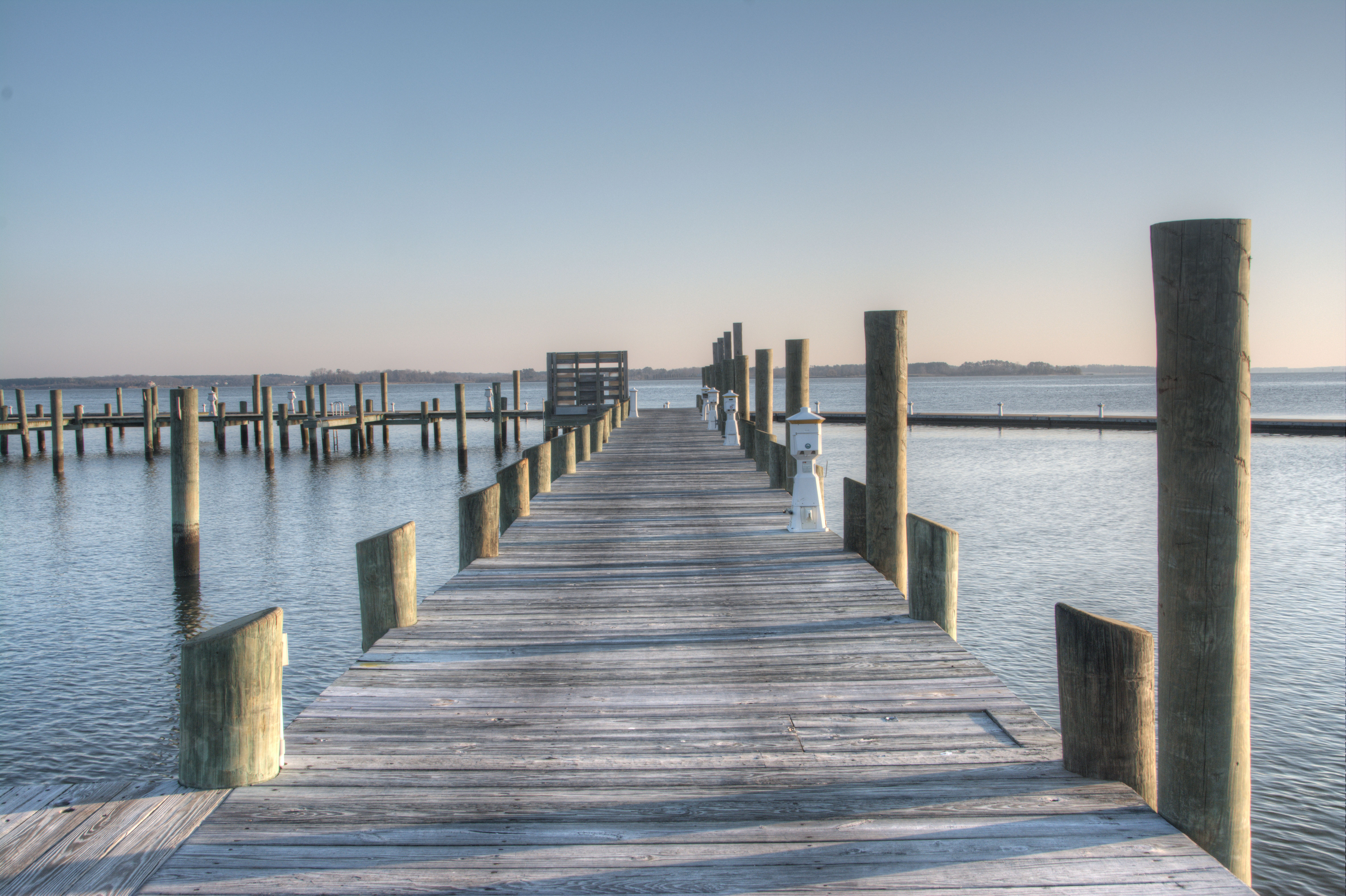
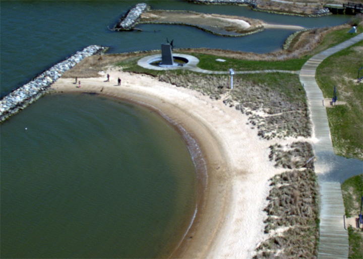
05035 Stone Jetty - Choptank River

A Tree By the River
ES-21
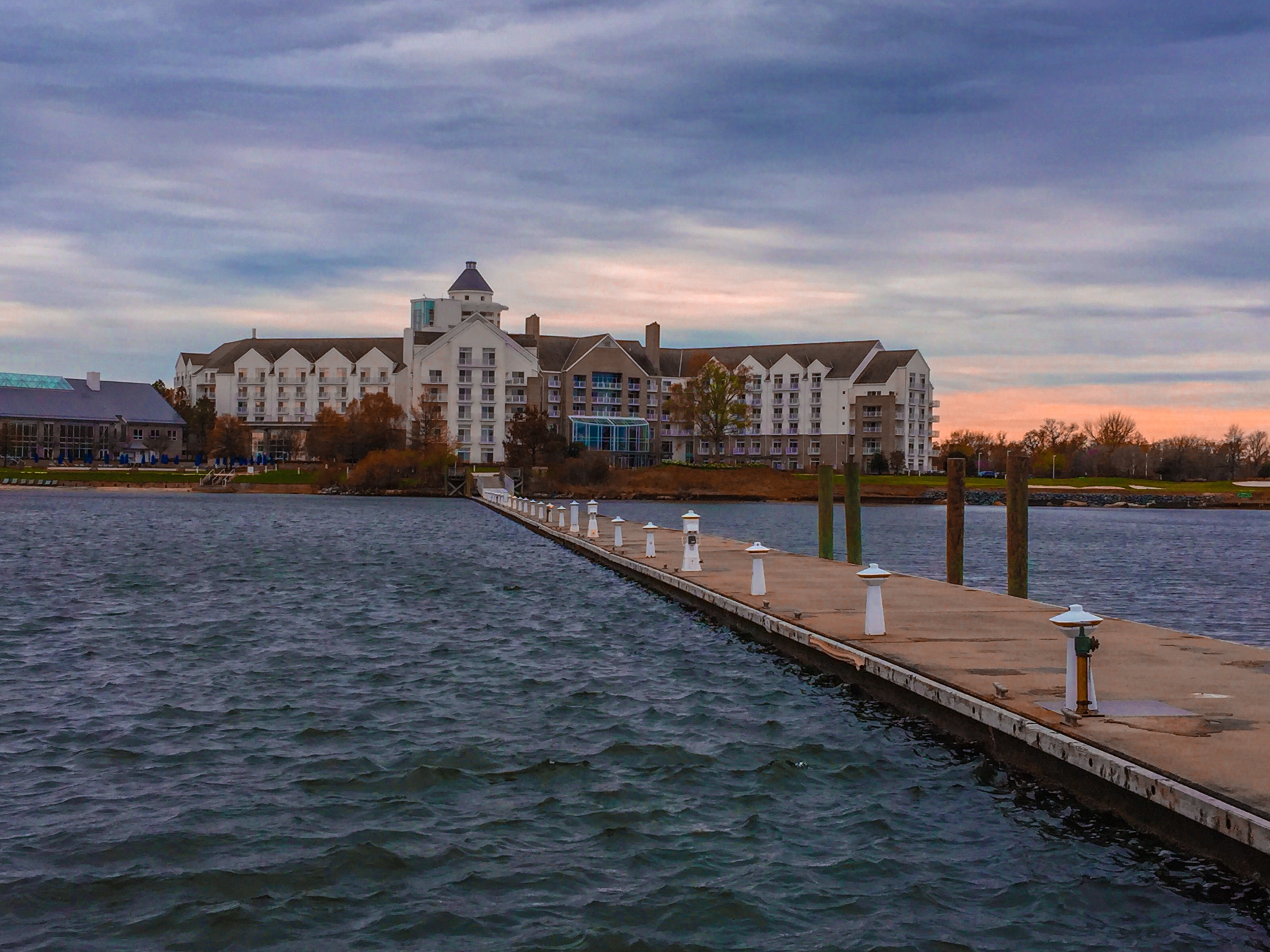
Chesapeake Bay Hyatt Resort
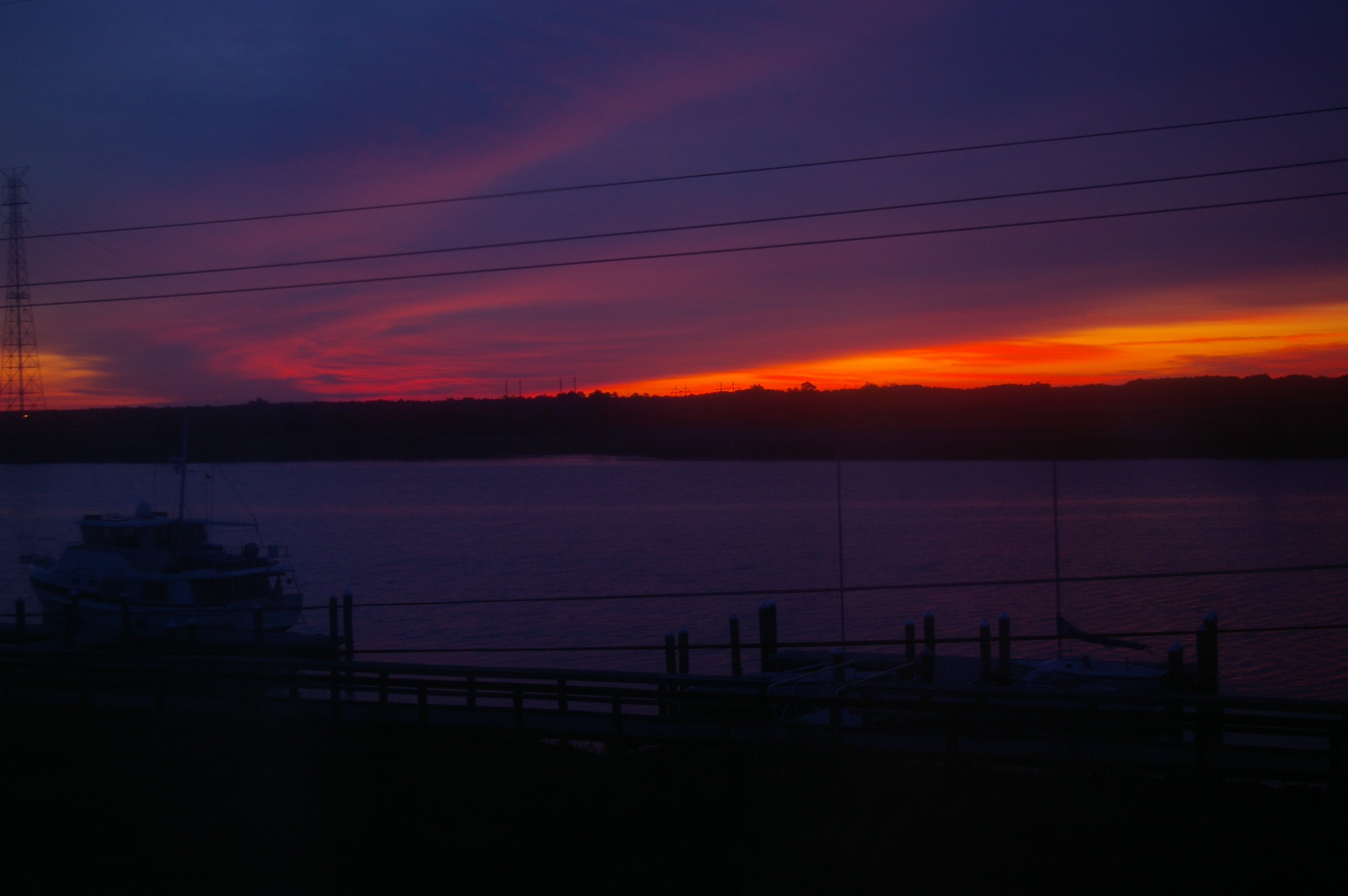
Sunrise Over the Nanticoke 2

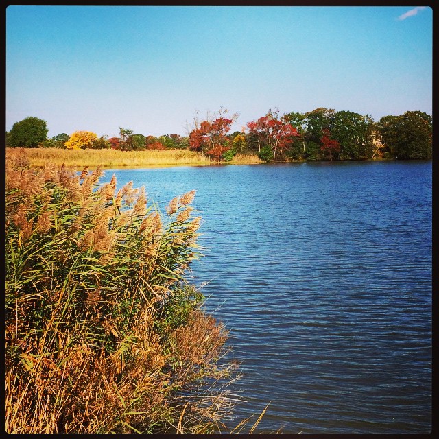
Choptank River
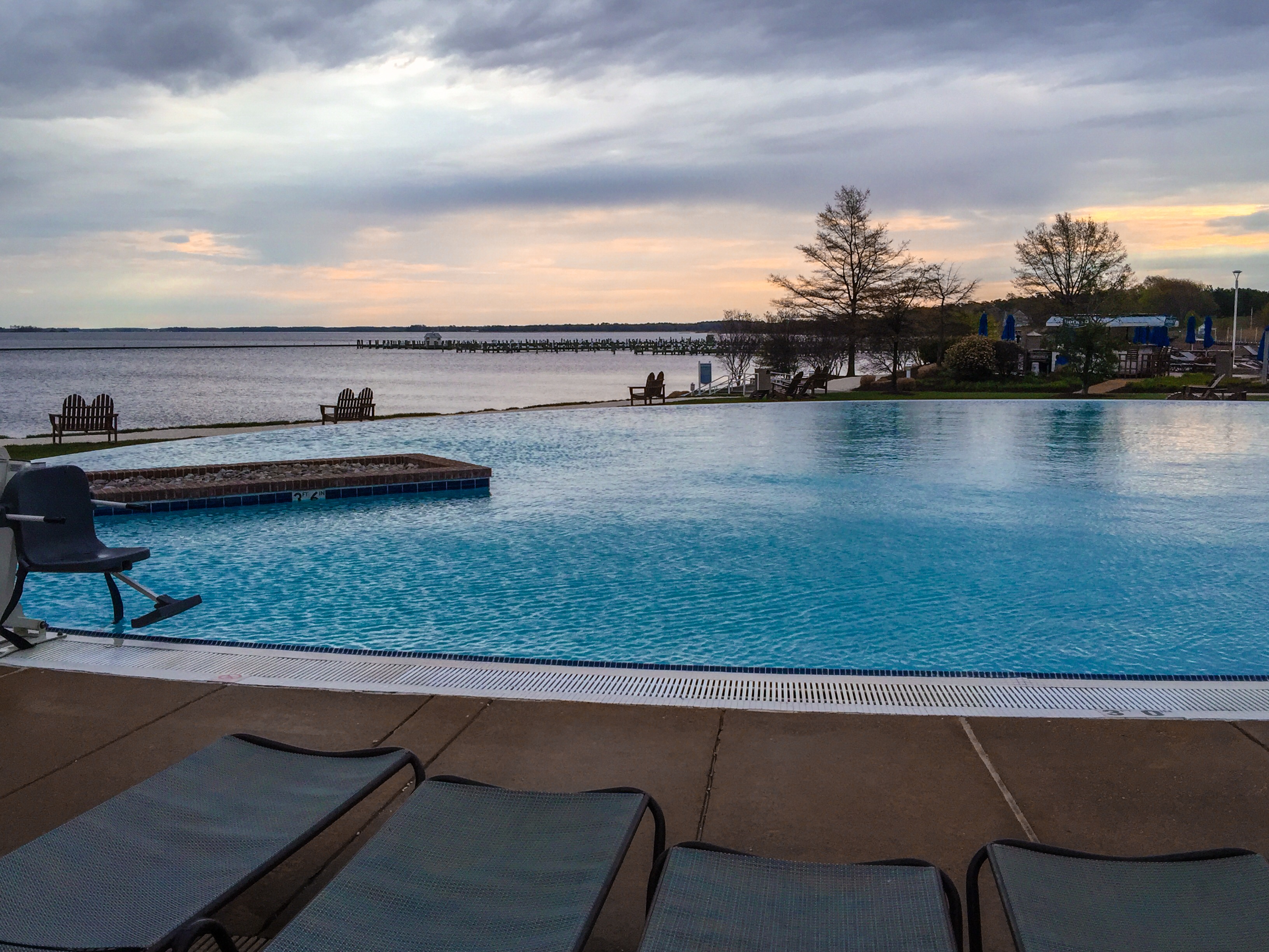
Chesapeake Bay Hyatt Resort
A beautiful day on the Creek
A little Giverny in the Chesapeake. #vacation #family #summertime

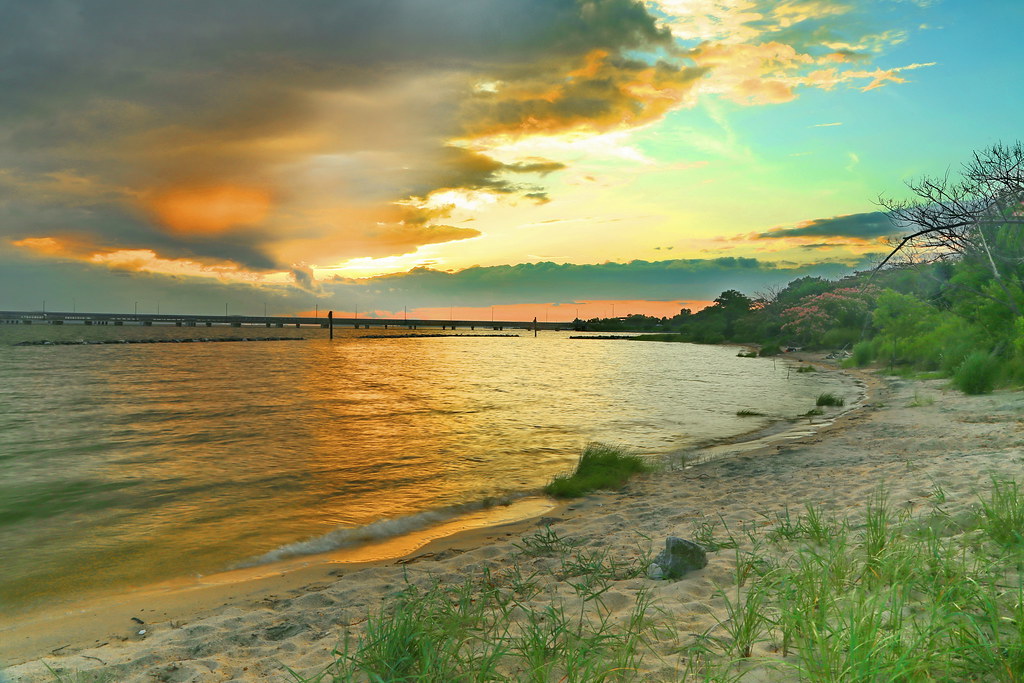
Choptank River #sunset #sunshots2013
Morning Bike Ride

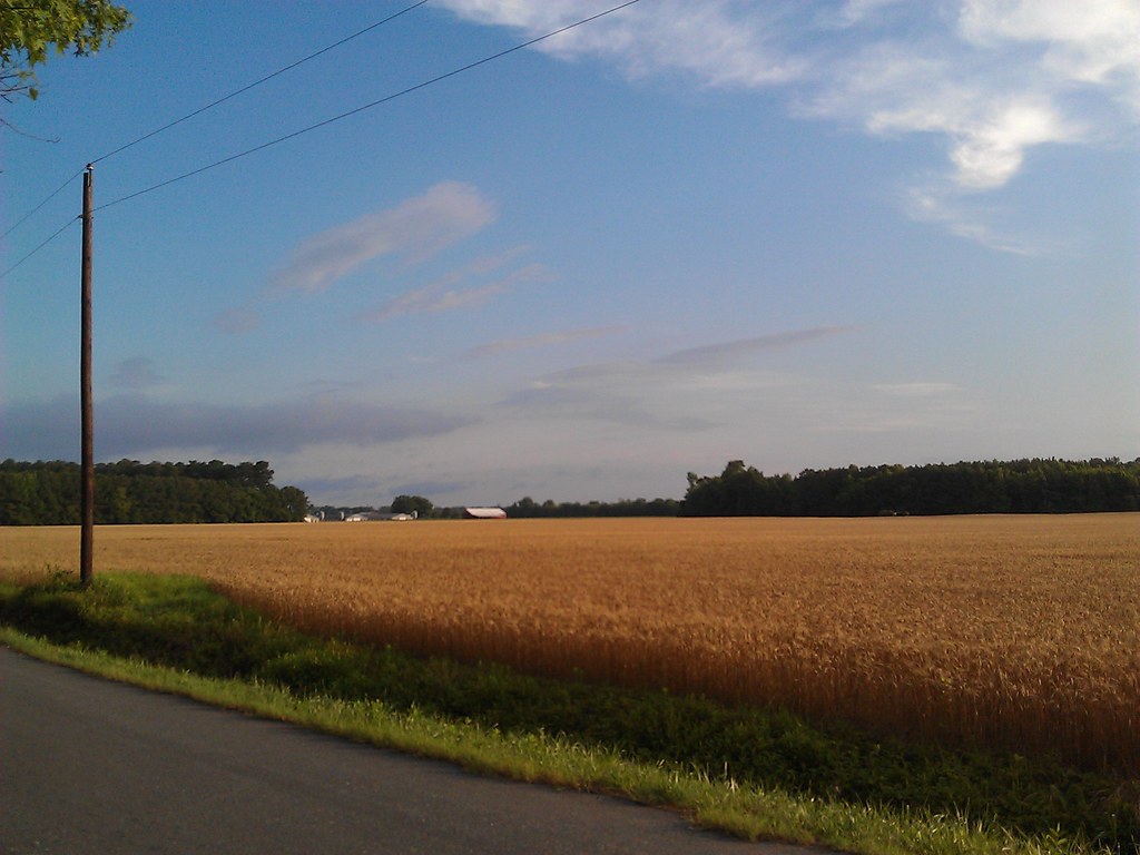
Farmland on the Choptank River

Harriet Tubman Underground Railroad Byway

Phragmites Marsh And Blue Sky
04997 Choptank River Bridge - Sunset
05024 Choptank Sunset
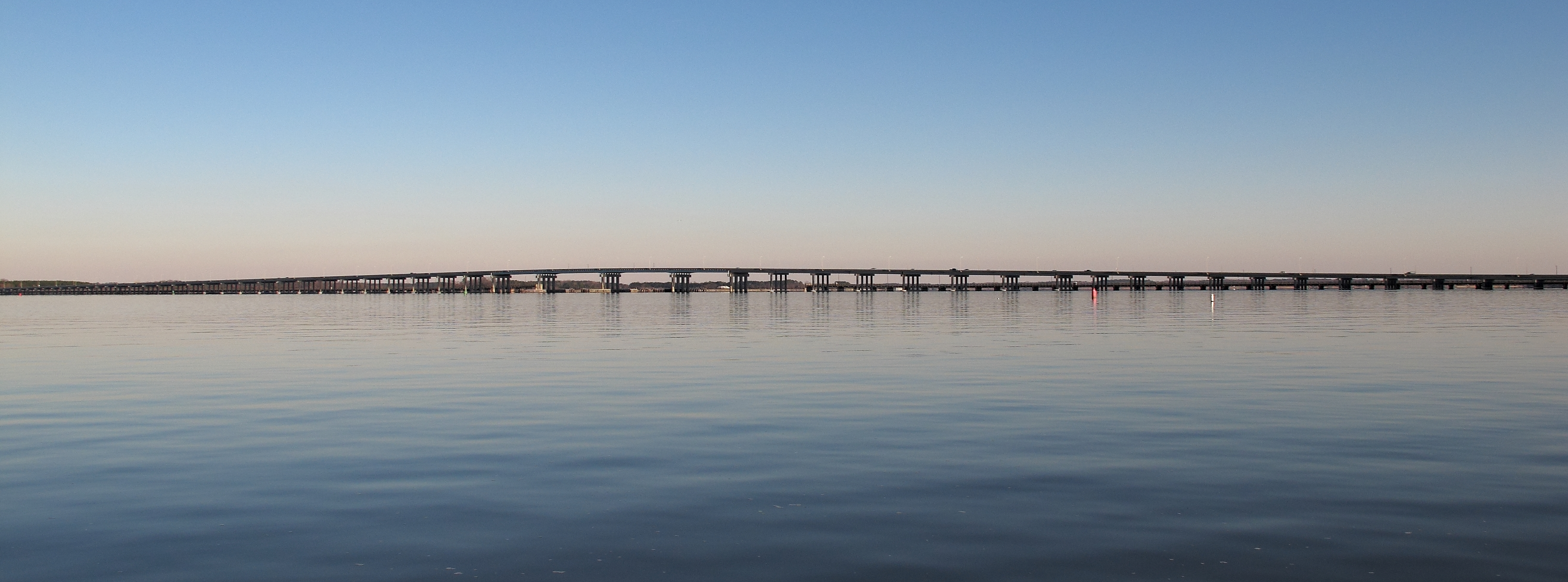
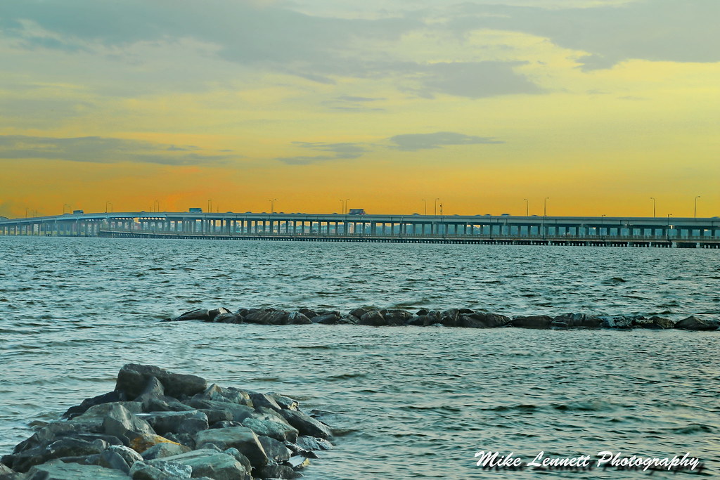
Frederick C. Malkus Bridge Cambridge MD
Topographic Map of East New Market, MD, USA
Find elevation by address:

Places in East New Market, MD, USA:
Places near East New Market, MD, USA:
Mt Holly Rd, East New Market, MD, USA
2, East New Market
15, Hurlock
Cabin Creek Rd, Hurlock, MD, USA
Petersburg Rd, Hurlock, MD, USA
Hurlock
Hughes Ct, Hurlock, MD, USA
Lucy Fish Ln, Hurlock, MD, USA
Maiden Forest Rd, Rhodesdale, MD, USA
Harrison Ferry Road
Palmer Mill Rd, Hurlock, MD, USA
3, Vienna
Rhodesdale Vienna Rd, Vienna, MD, USA
1, Fork
86 Line Rd
26397 Line Rd
Woodland Ferry Rd, Seaford, DE, USA
Elzey Brown Loop, Mardela Springs, MD, USA
25607 Brookside Dr
5056 Morgans Way
Recent Searches:
- Elevation of Sullivan Hill, New York, New York, 10002, USA
- Elevation of Morehead Road, Withrow Downs, Charlotte, Mecklenburg County, North Carolina, 28262, USA
- Elevation of 2800, Morehead Road, Withrow Downs, Charlotte, Mecklenburg County, North Carolina, 28262, USA
- Elevation of Yangbi Yi Autonomous County, Yunnan, China
- Elevation of Pingpo, Yangbi Yi Autonomous County, Yunnan, China
- Elevation of Mount Malong, Pingpo, Yangbi Yi Autonomous County, Yunnan, China
- Elevation map of Yongping County, Yunnan, China
- Elevation of North 8th Street, Palatka, Putnam County, Florida, 32177, USA
- Elevation of 107, Big Apple Road, East Palatka, Putnam County, Florida, 32131, USA
- Elevation of Jiezi, Chongzhou City, Sichuan, China
- Elevation of Chongzhou City, Sichuan, China
- Elevation of Huaiyuan, Chongzhou City, Sichuan, China
- Elevation of Qingxia, Chengdu, Sichuan, China
- Elevation of Corso Fratelli Cairoli, 35, Macerata MC, Italy
- Elevation of Tallevast Rd, Sarasota, FL, USA
- Elevation of 4th St E, Sonoma, CA, USA
- Elevation of Black Hollow Rd, Pennsdale, PA, USA
- Elevation of Oakland Ave, Williamsport, PA, USA
- Elevation of Pedrógão Grande, Portugal
- Elevation of Klee Dr, Martinsburg, WV, USA