Elevation of Elzey Brown Loop, Mardela Springs, MD, USA
Location: United States > Maryland > Wicomico County >
Longitude: -75.720397
Latitude: 38.50168
Elevation: 10m / 33feet
Barometric Pressure: 101KPa
Elevation Map:
Satellite Map:
Related Photos:
Eldorado U.M. Church

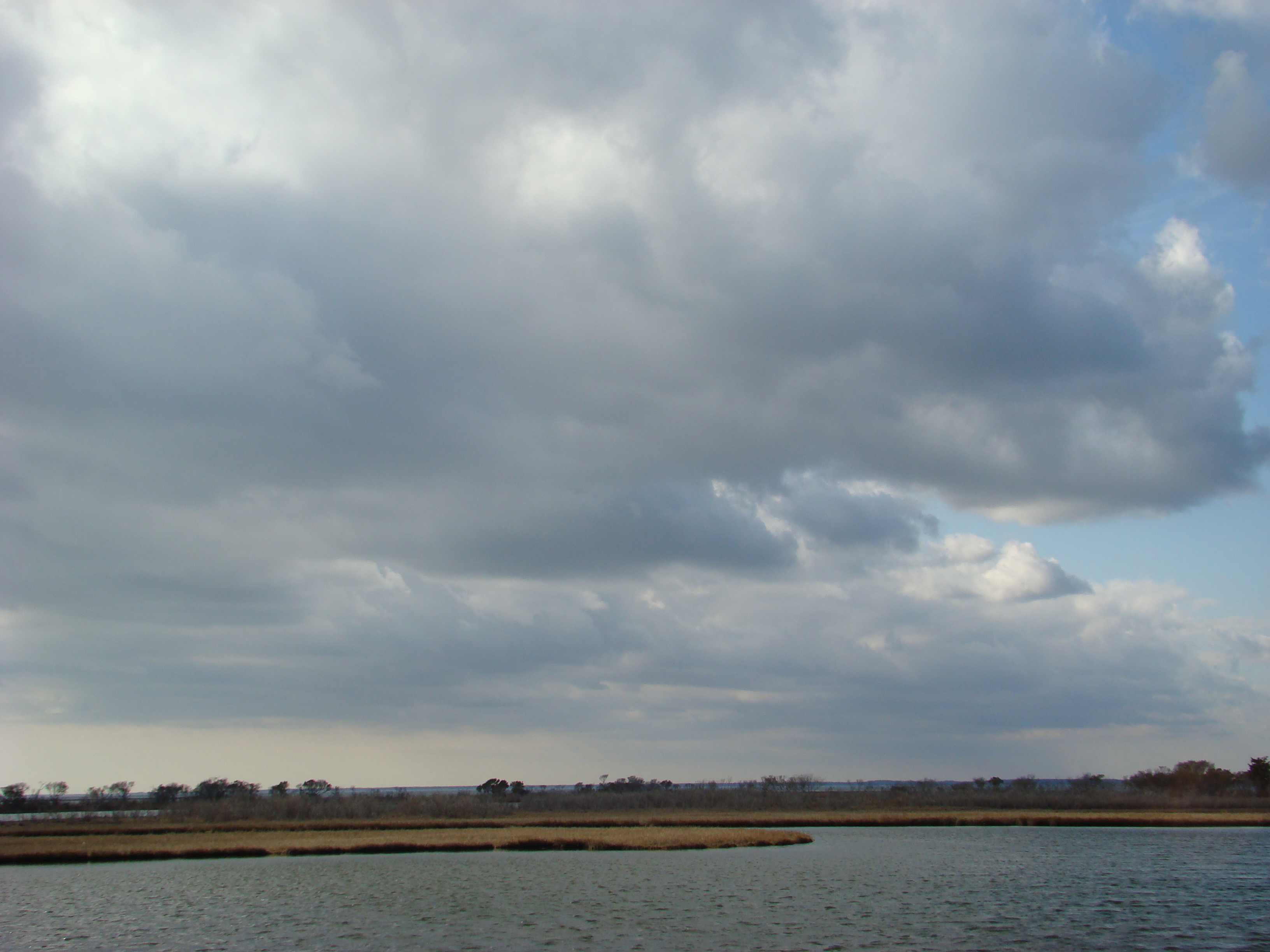
Nanticoke River Wetlands

Nanticoke River Wetlands

Only God can make a tree
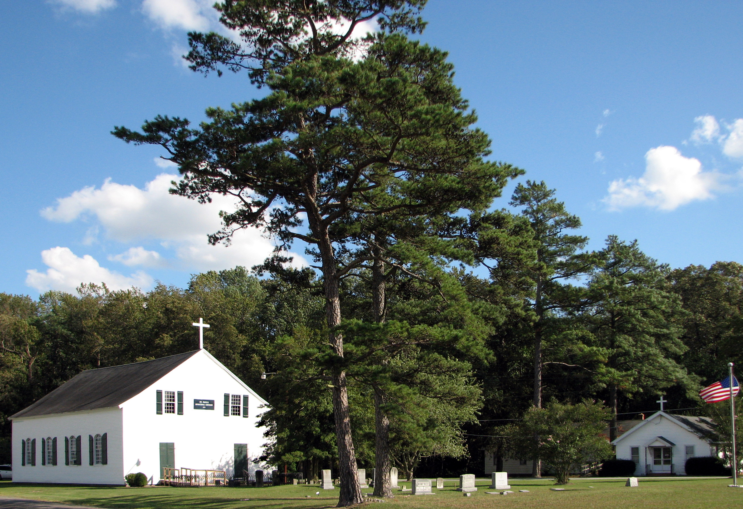
St. Paul's Episcopal Church, "Old Spring Hill"
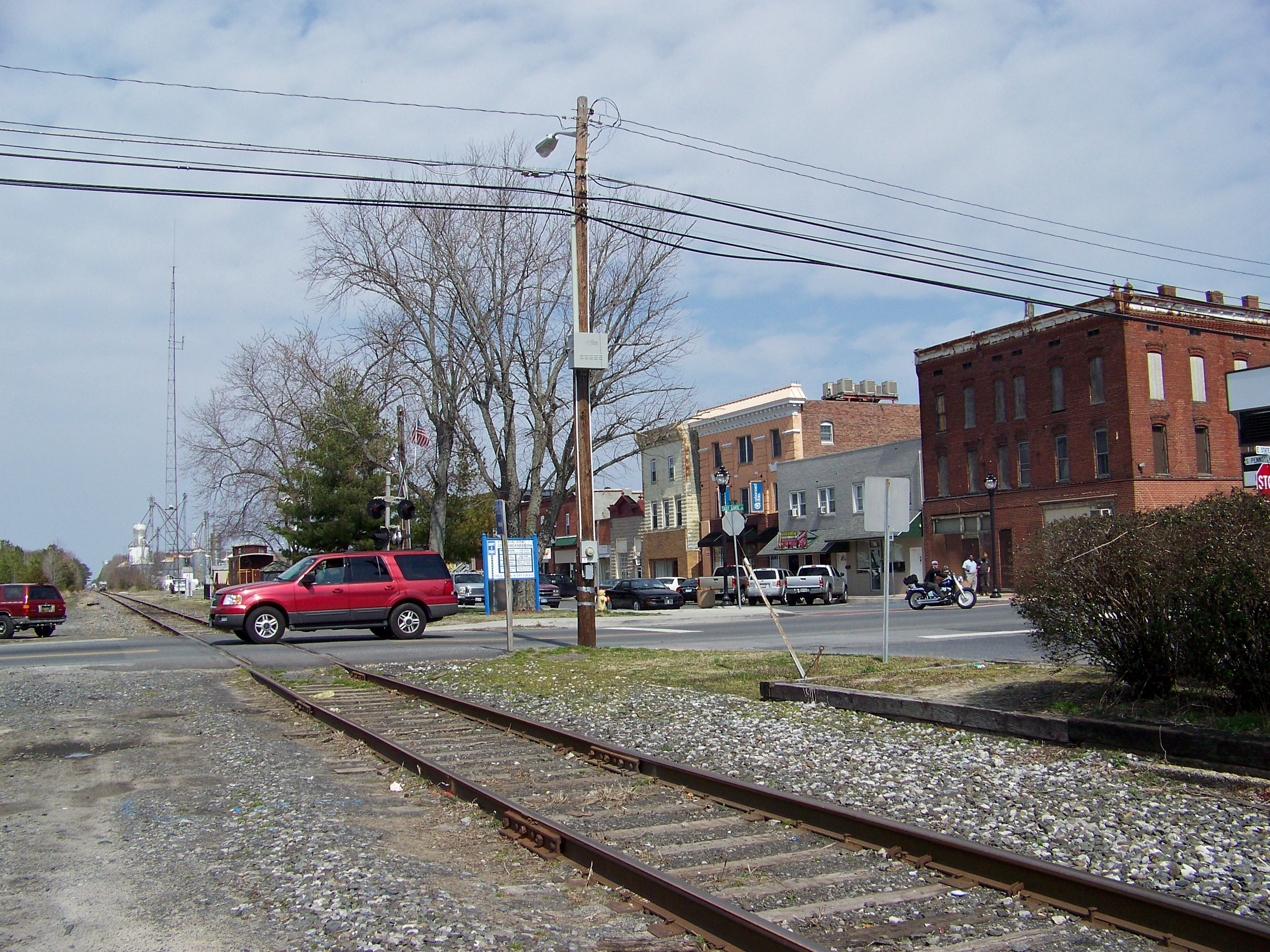
State Line
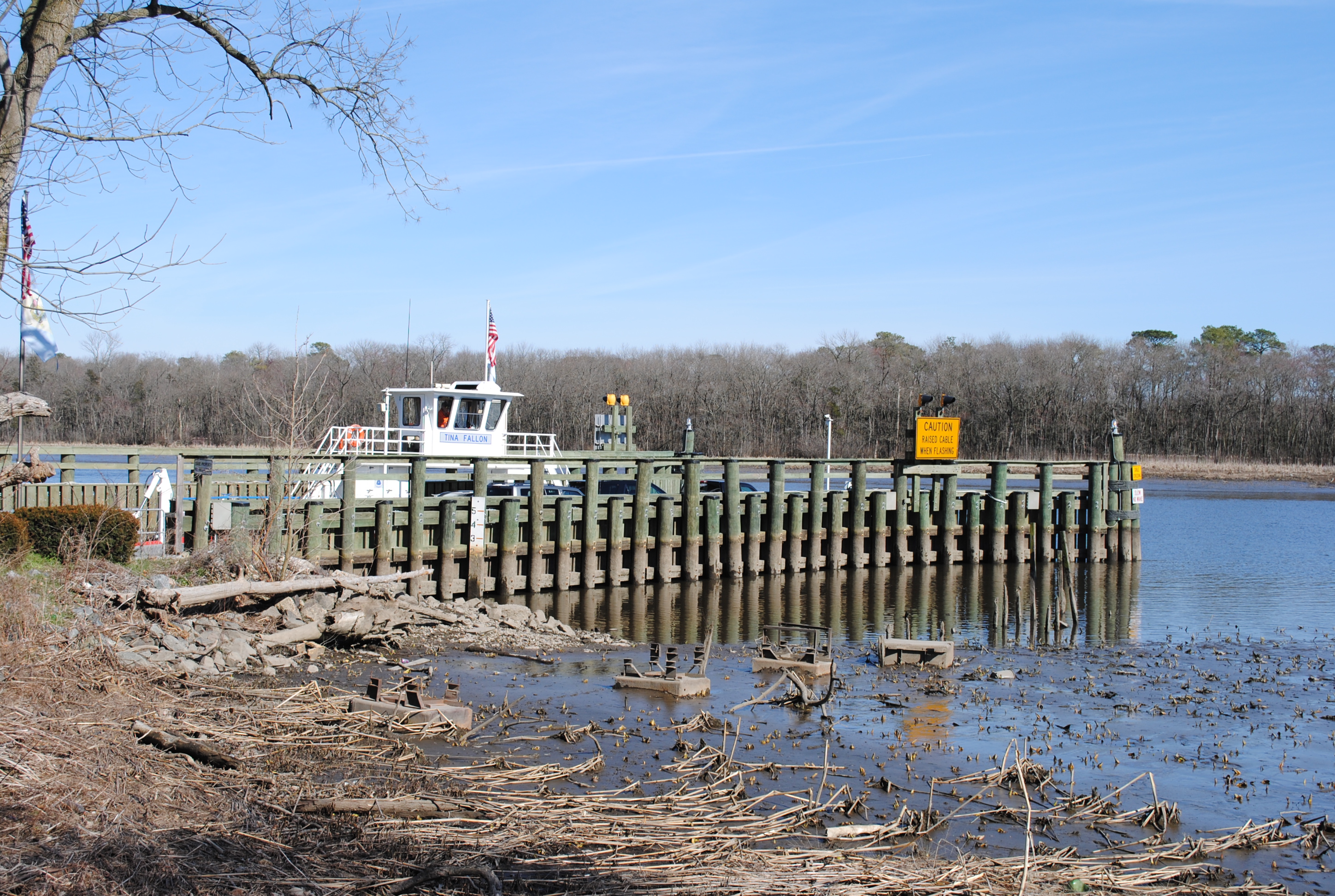
Woodland Ferry

How To Make A Flint Knife Edge
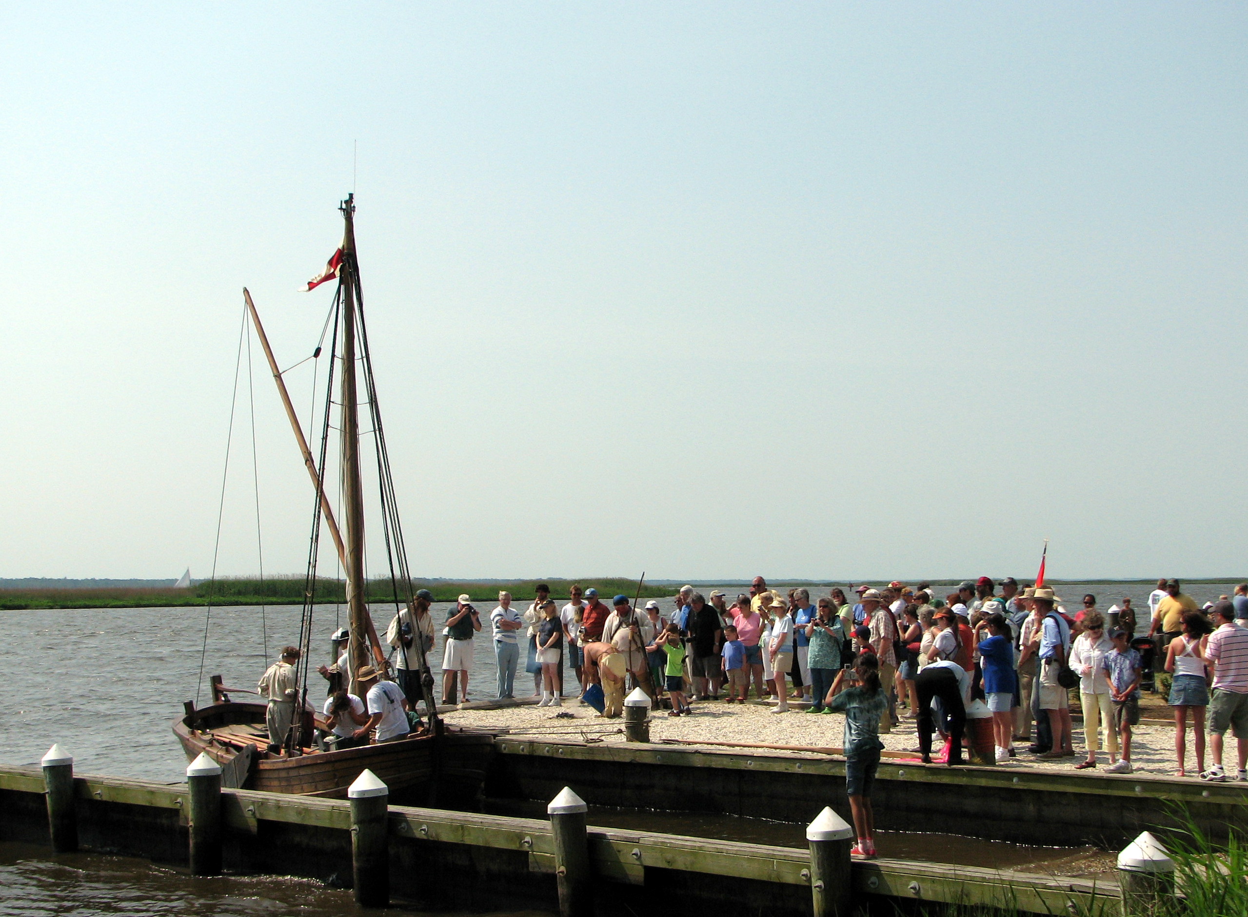
Checking Out The Shallop
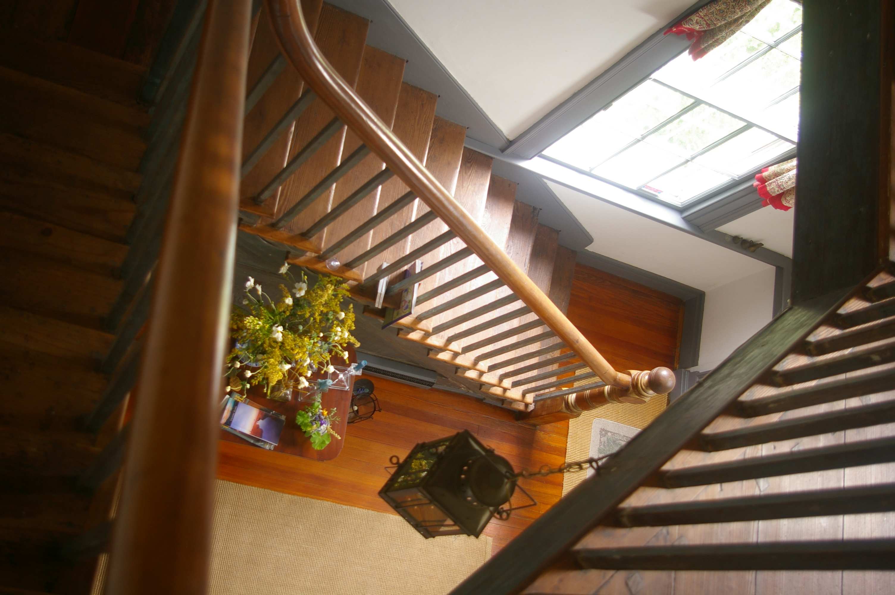
View Down the Stairs
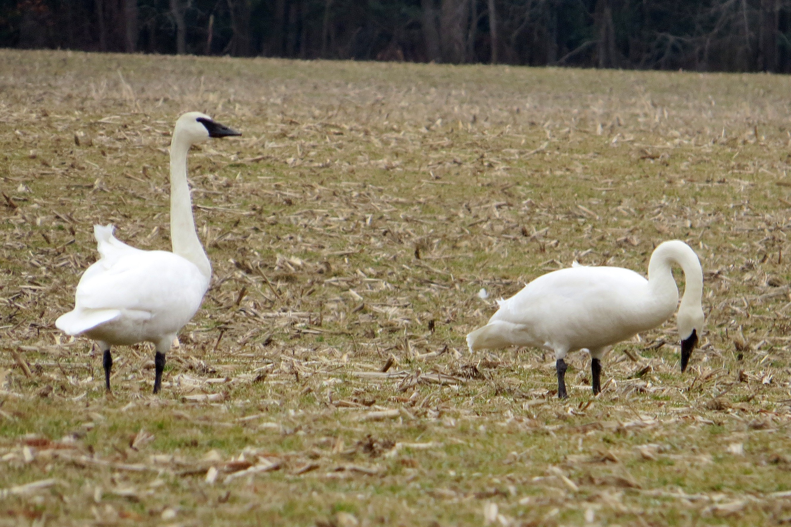
Trumpeter Swan
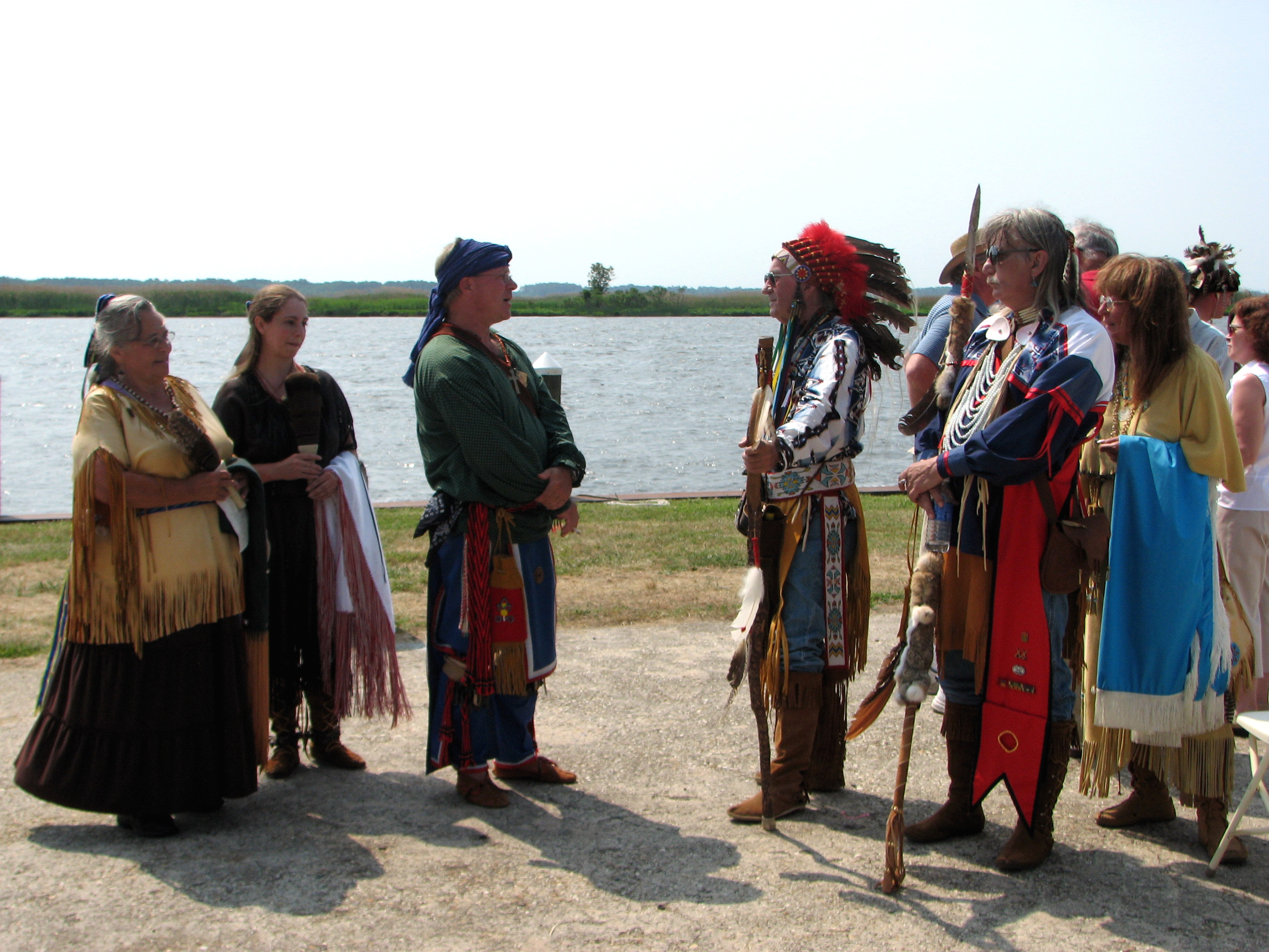
The People Who Greeted Captain John Smith

The People Who Greeted Captain John Smith
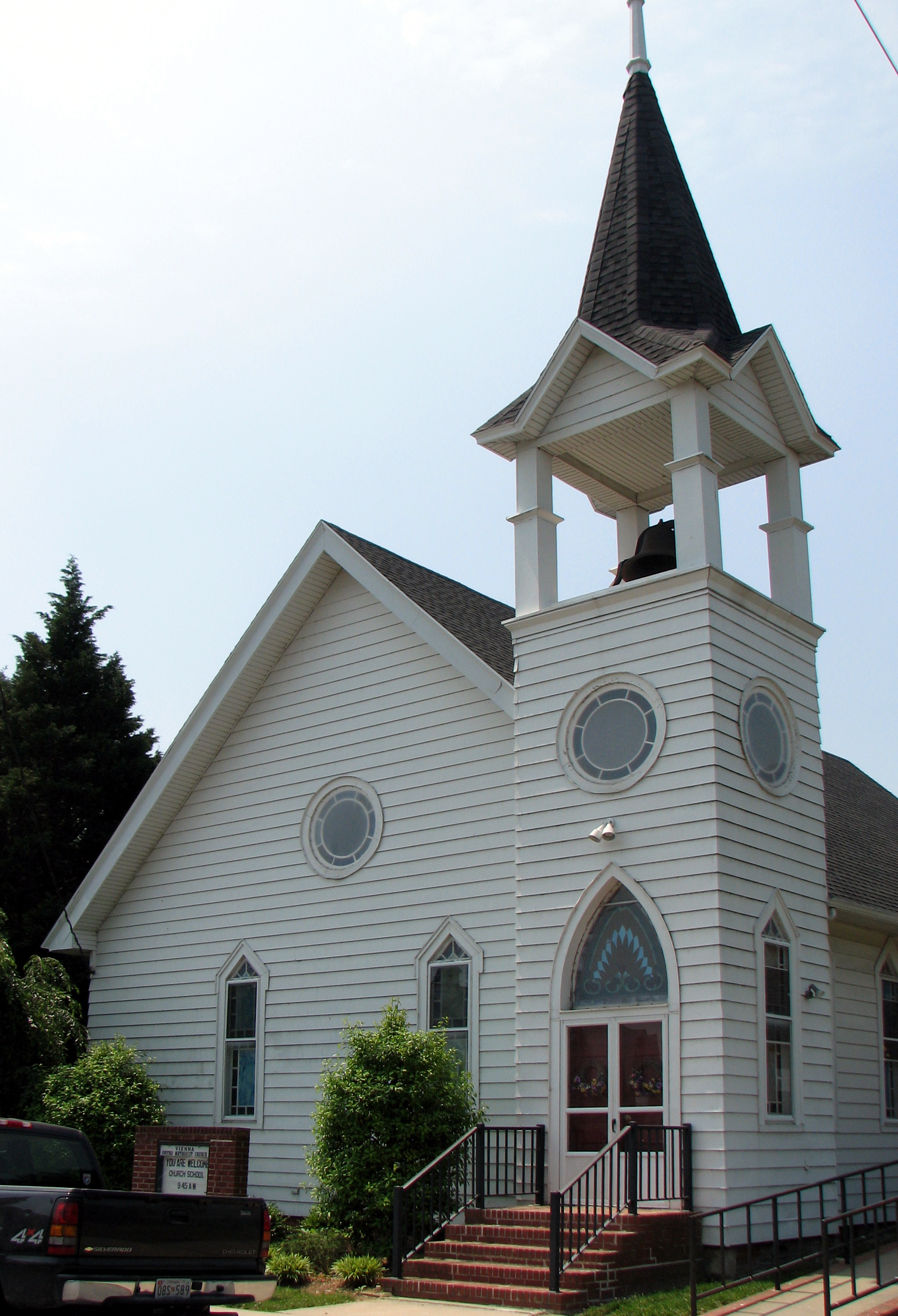
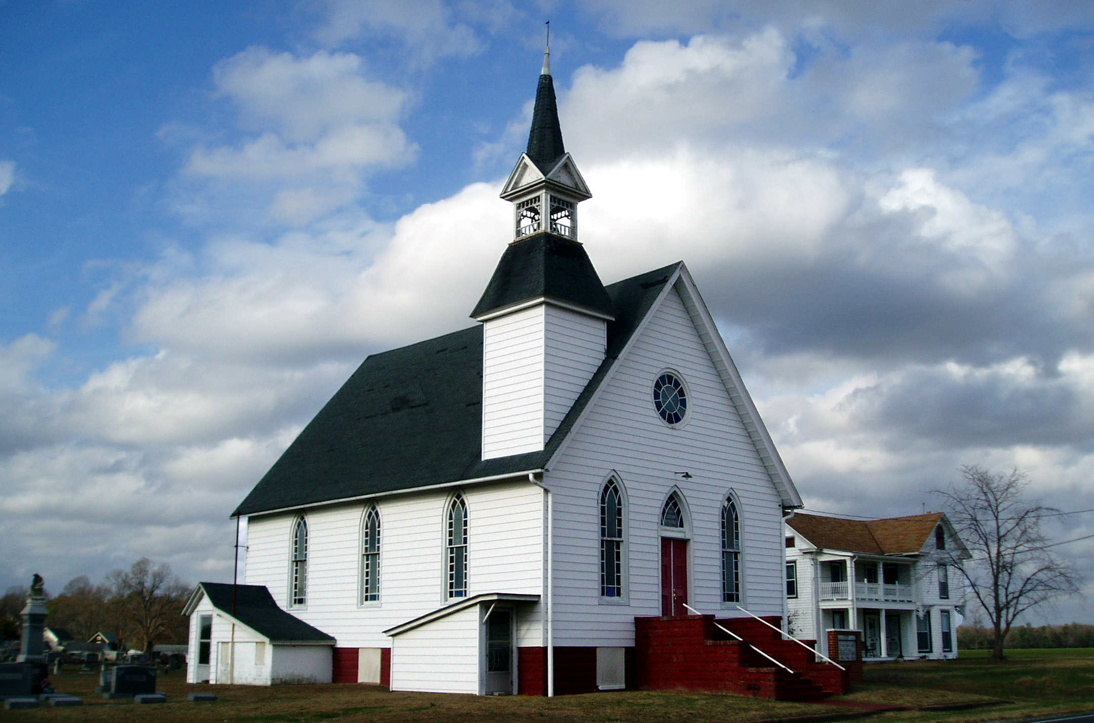
Vienna U.M. Church
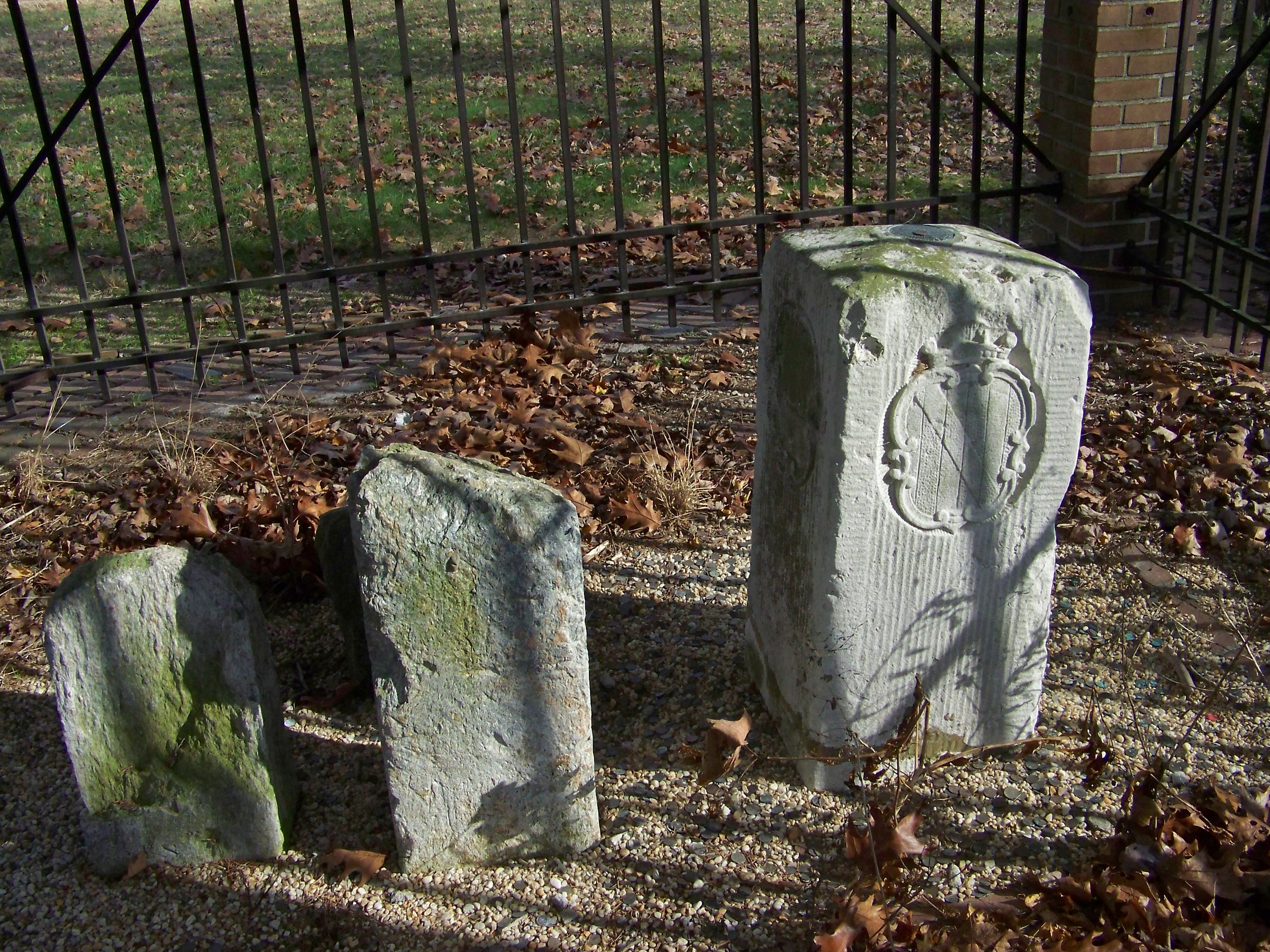
Corner Stone

Into His Heritage
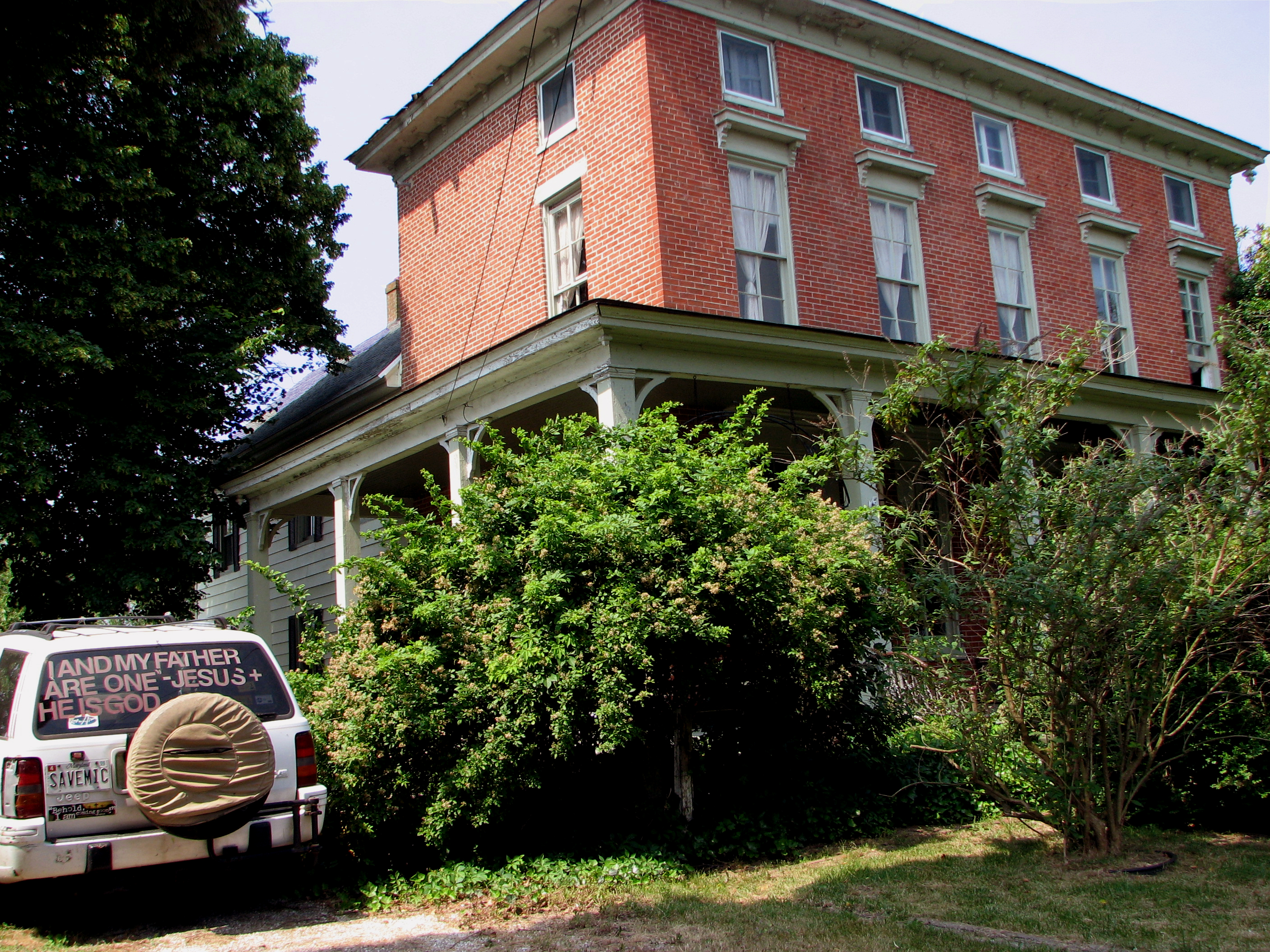
Nanticoke Manor, Vienna, Maryland

Woodland Ferry

A Day in June
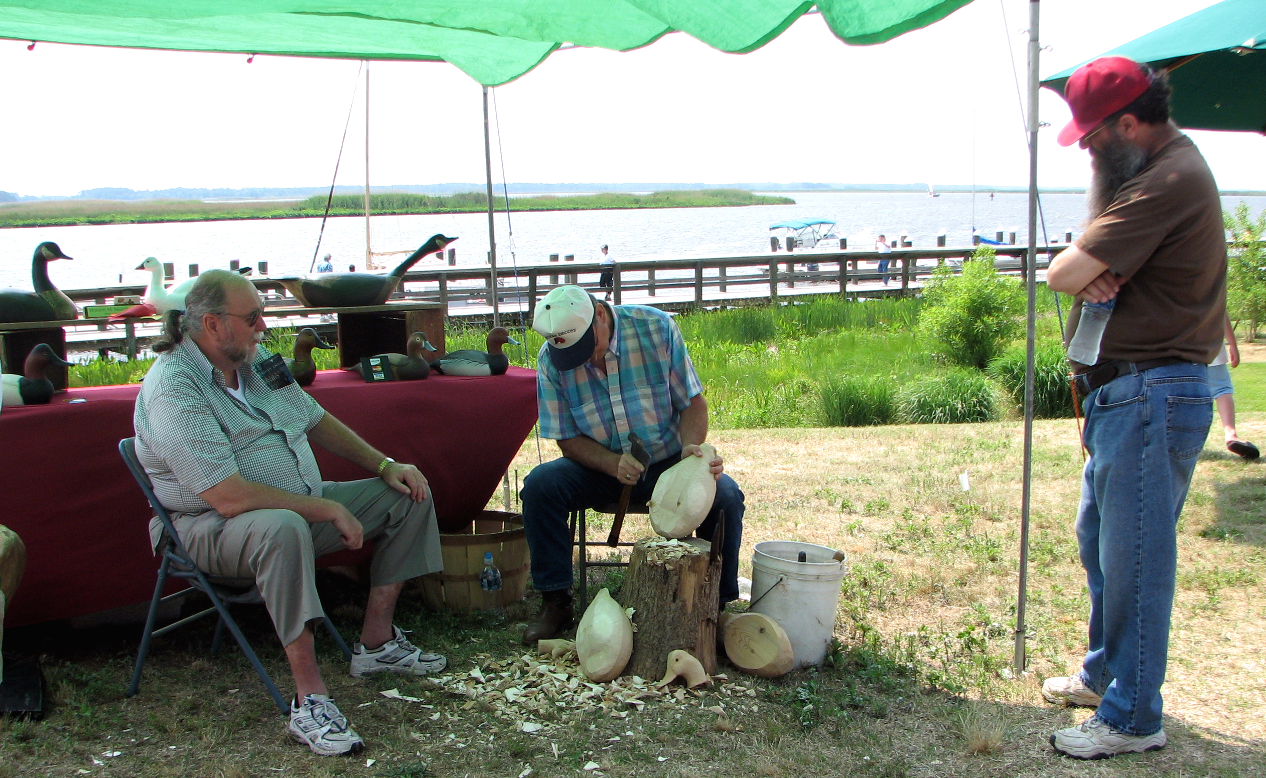
Wildfowl Carver
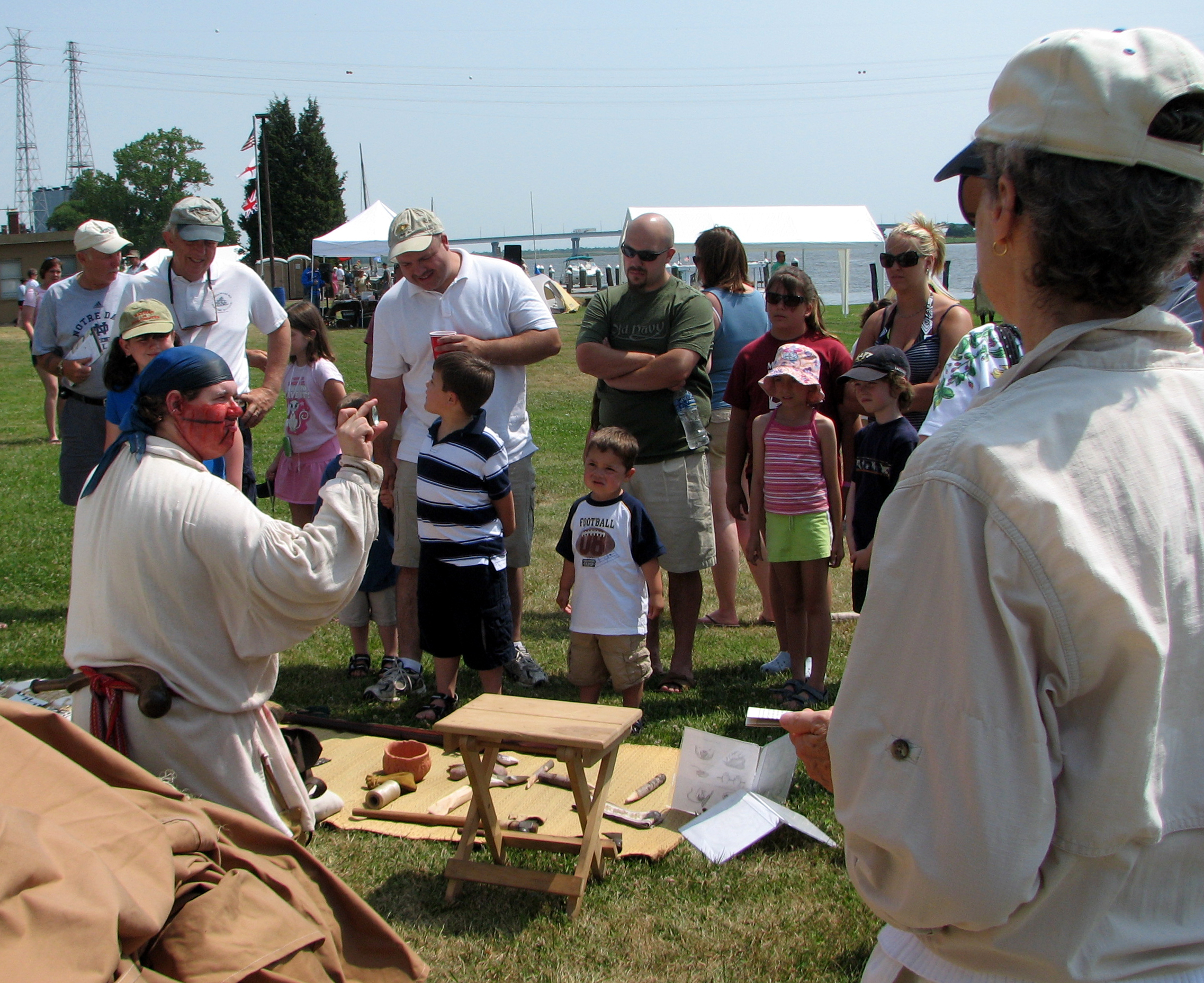
Trade Goods

Sunrise Over the Nanticoke 1

Country Road

Records Pond

Farmland in Caroline County, Md.
Records Pond Laurel Delaware

Sunrise Over the Nanticoke 2

Stand of Trees

Big Mill Pond, Fall

colorado horses

Upper Nanticoke River in Delaware looking north

Soda Can Baseball: Round 2
colorado scenery 2

Assateague Horse and Landscape
#laurel#delaware #clouds

Ornate headstone

Twilight at the Farm
Assateague Landscape

Tonights sunset was awesome! Capturing it from a moving car on a cell hardly does it justice.

Sharptown Planting After
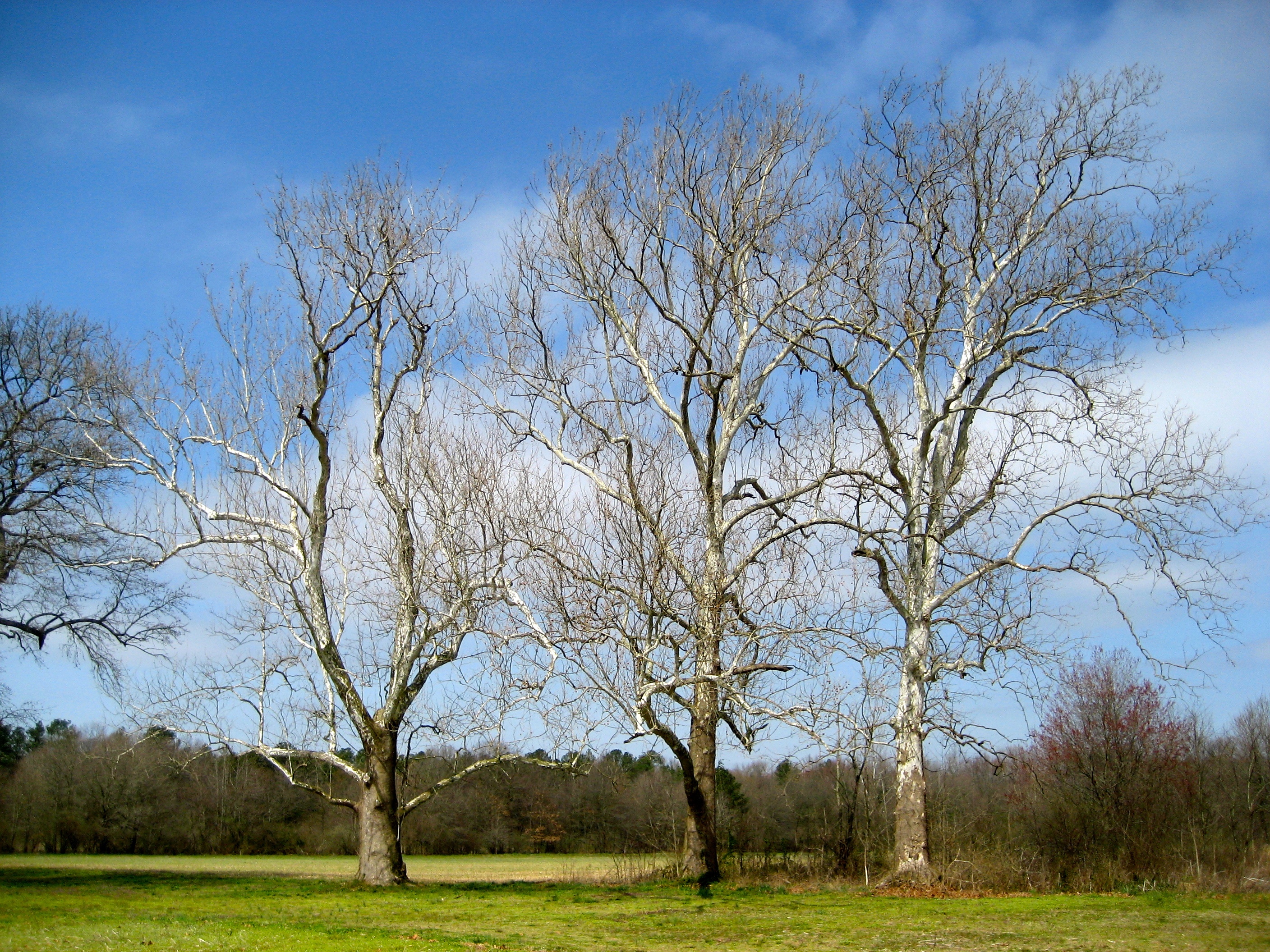
Sycamore trees near Nanticoke River in southwestern Delaware
Topographic Map of Elzey Brown Loop, Mardela Springs, MD, USA
Find elevation by address:

Places near Elzey Brown Loop, Mardela Springs, MD, USA:
Ralphs Rd, Laurel, DE, USA
5056 Morgans Way
River Rd, Laurel, DE, USA
Tussock Dr, Laurel, DE, USA
Baileys Landing Dr, Bethel, DE, USA
6393 Baileys Landing Dr
Shell Bridge Rd, Laurel, DE, USA
Rhodesdale Vienna Rd, Vienna, MD, USA
1, Fork
Maiden Forest Rd, Rhodesdale, MD, USA
26397 Line Rd
7443 Shell Bridge Rd
3, Vienna
Bethel
6163 Mallard Point
River Rd, Seaford, DE, USA
86 Line Rd
Woodland Ferry Rd, Seaford, DE, USA
Woodland Rd, Seaford, DE, USA
25607 Brookside Dr
Recent Searches:
- Elevation of 72-31 Metropolitan Ave, Middle Village, NY, USA
- Elevation of 76 Metropolitan Ave, Brooklyn, NY, USA
- Elevation of Alisal Rd, Solvang, CA, USA
- Elevation of Vista Blvd, Sparks, NV, USA
- Elevation of 15th Ave SE, St. Petersburg, FL, USA
- Elevation of Beall Road, Beall Rd, Florida, USA
- Elevation of Leguwa, Nepal
- Elevation of County Rd, Enterprise, AL, USA
- Elevation of Kolchuginsky District, Vladimir Oblast, Russia
- Elevation of Shustino, Vladimir Oblast, Russia