Elevation of Morgans Way, Laurel, DE, USA
Location: United States > Delaware > Sussex County > Laurel >
Longitude: -75.66533
Latitude: 38.564444
Elevation: 2m / 7feet
Barometric Pressure: 101KPa
Elevation Map:
Satellite Map:
Related Photos:
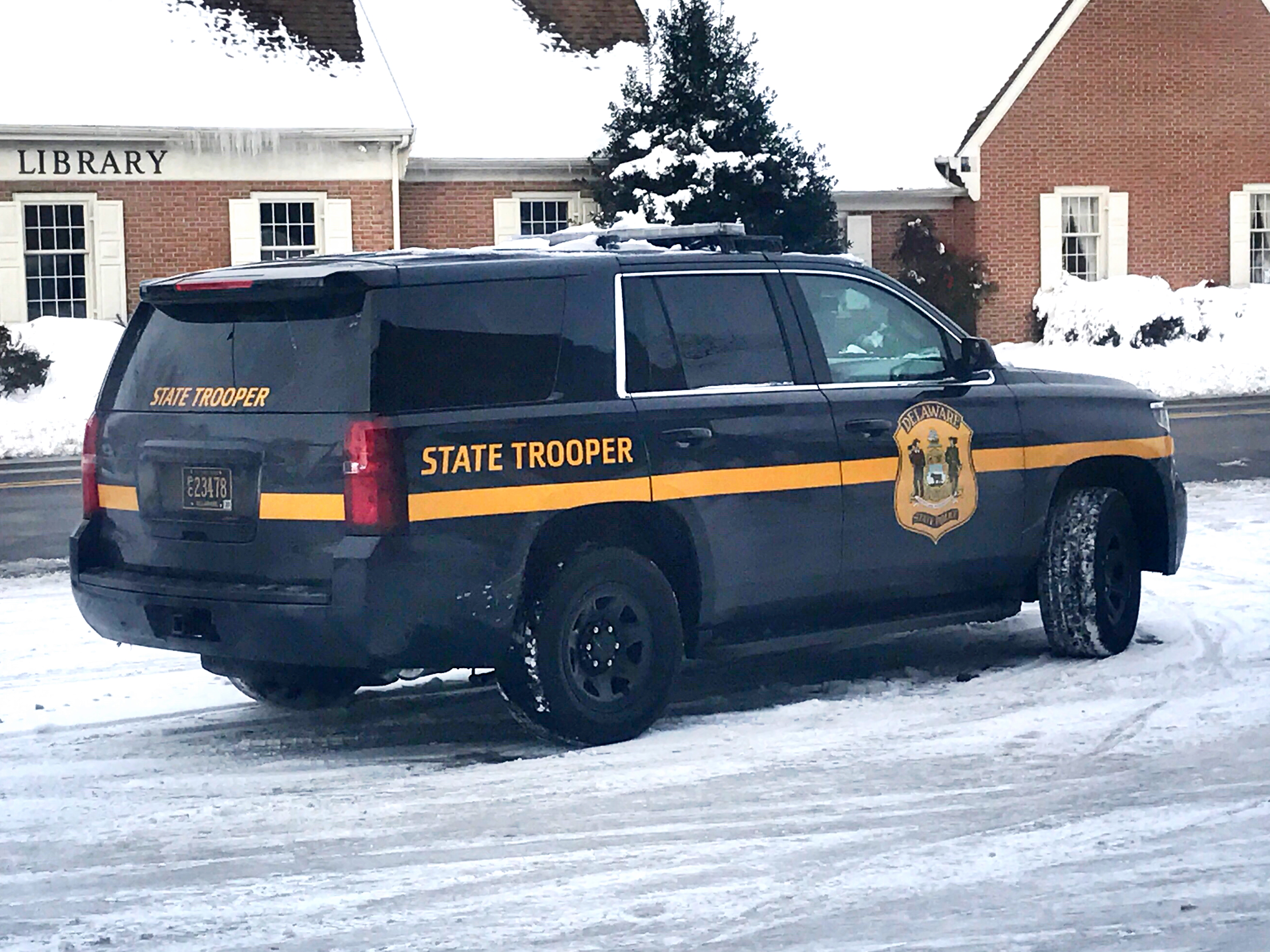
Delaware State Police Tahoe
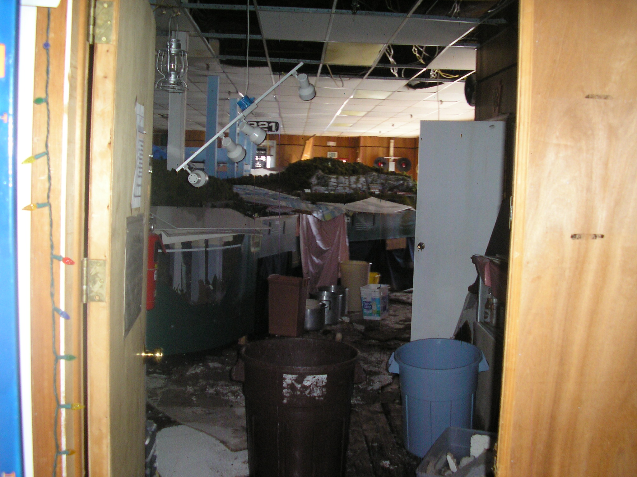
The HO Layout

Mushroom - Explored

Two-spotted Tree Cricket

No Common Name

Saratoga Spittlebug

Western Kingbird
No Common Name
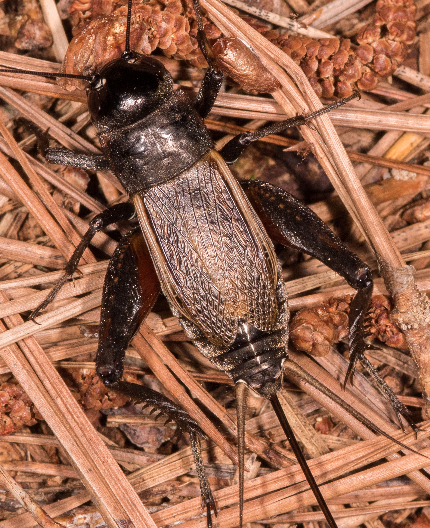
Field Cricket

Only God can make a tree

Banded Bullet Gall Wasp
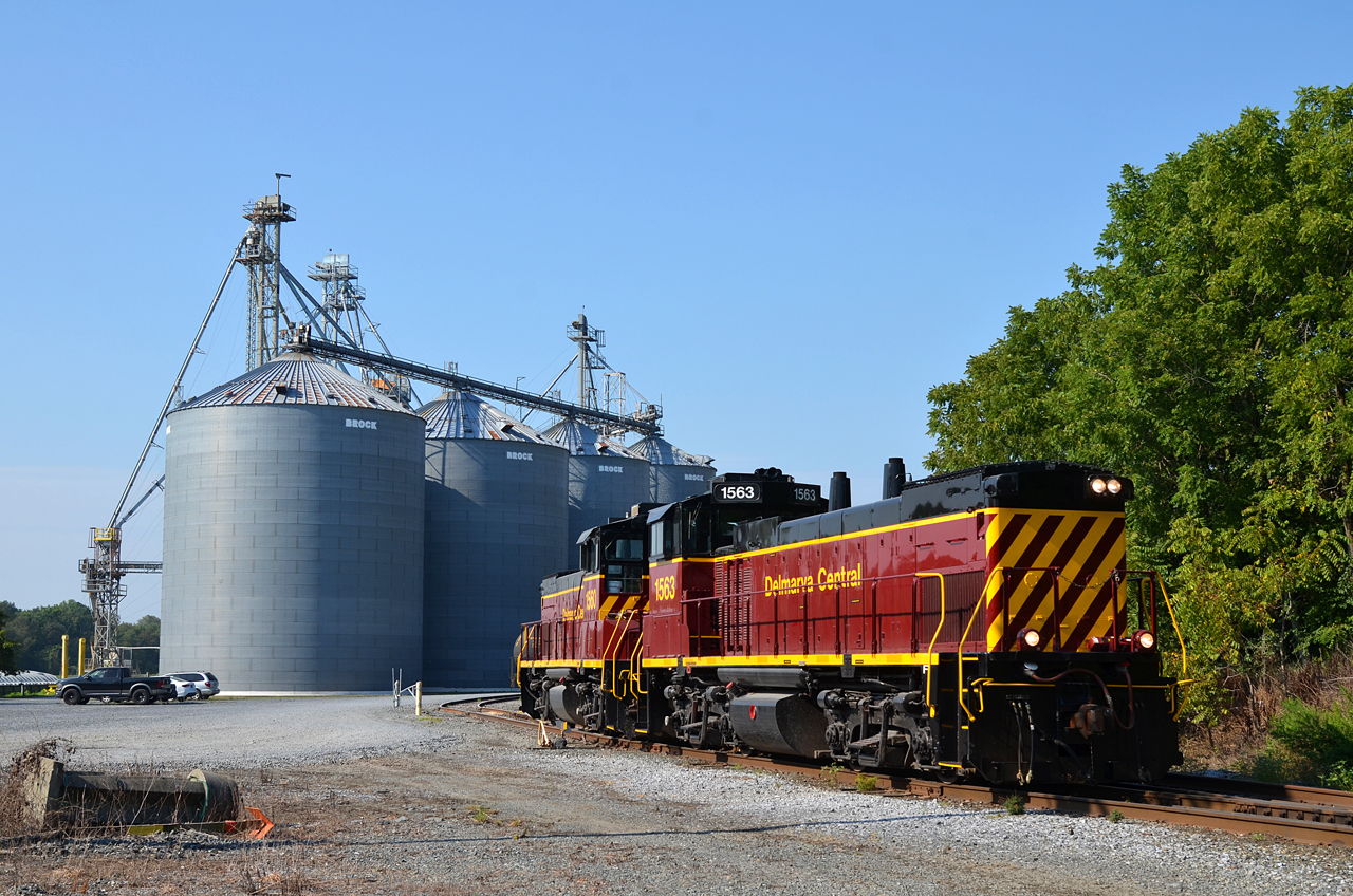
2017 08-03 0913 DCR MP15N-1563, 1560 SE-1, Seaford, DE

No Common Name

No Common Name

Arrowshaped Micrathena
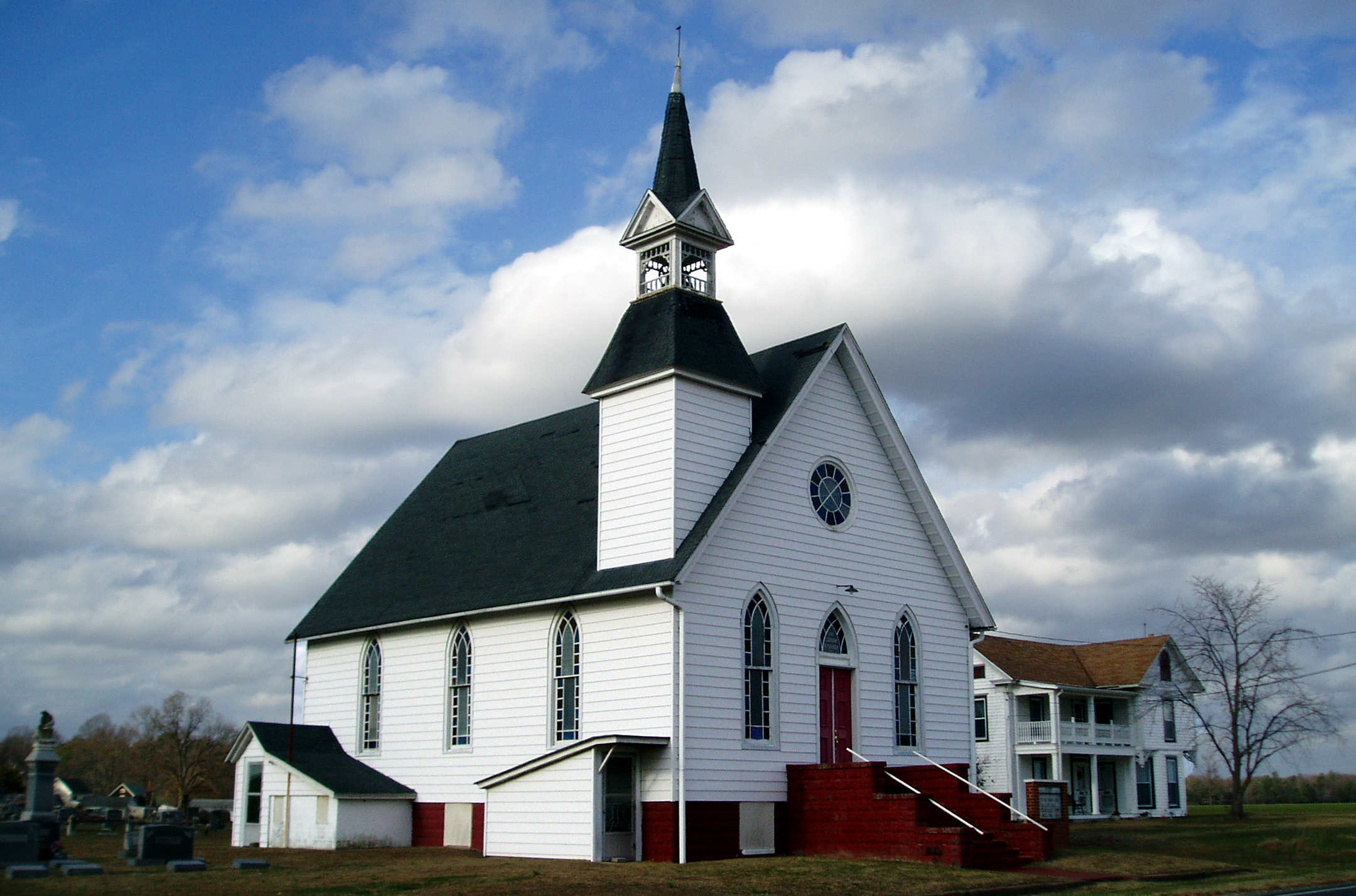
Eldorado U.M. Church

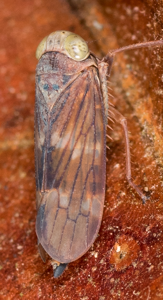
Tylozygus bifidus
Soybean Leafminer

Spider Bugguide
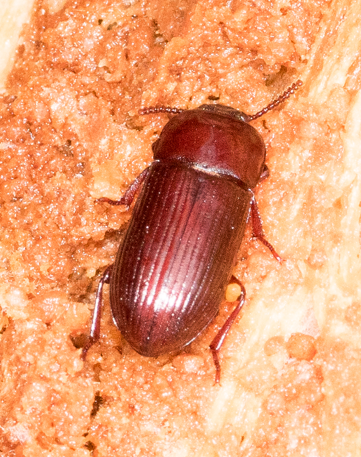
Uloma sp.
No Common Name

Pumps are used to circulate water from the Nanticoke River through the Nanticoke Shad Hatchery

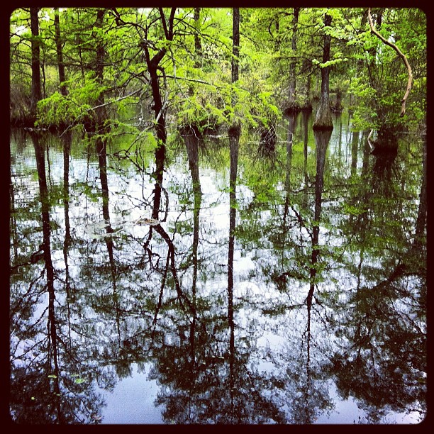
Upper Nanticoke River in Delaware looking south

Upper Nanticoke River in Delaware looking north

Woodland Ferry

Good morning Sussex County ???? Day 66/365

Tonights sunset was awesome! Capturing it from a moving car on a cell hardly does it justice.
Hiking with Max today.

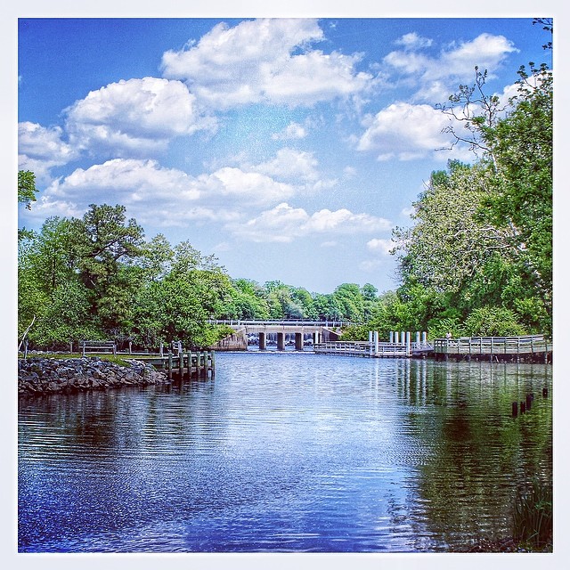
Route 50 crosses the Nanticoke River

Ornate headstone

Soda Can Baseball: Round 2
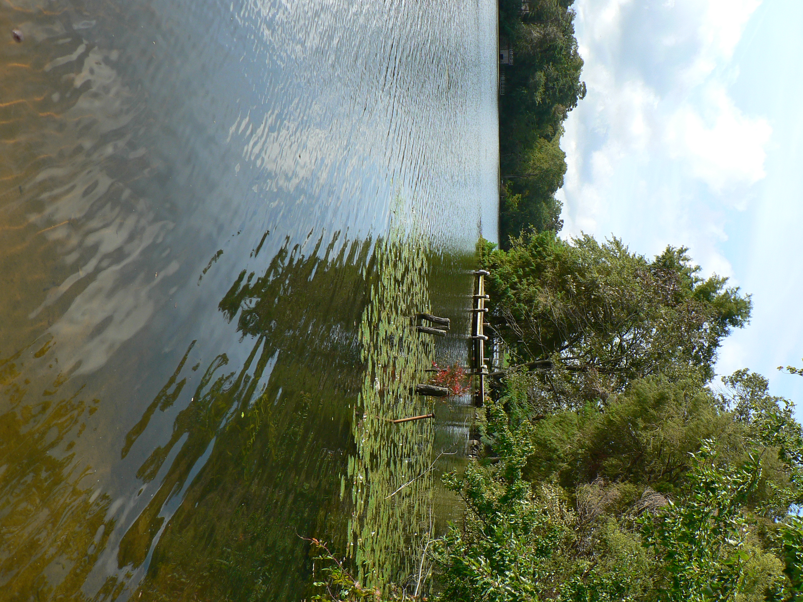
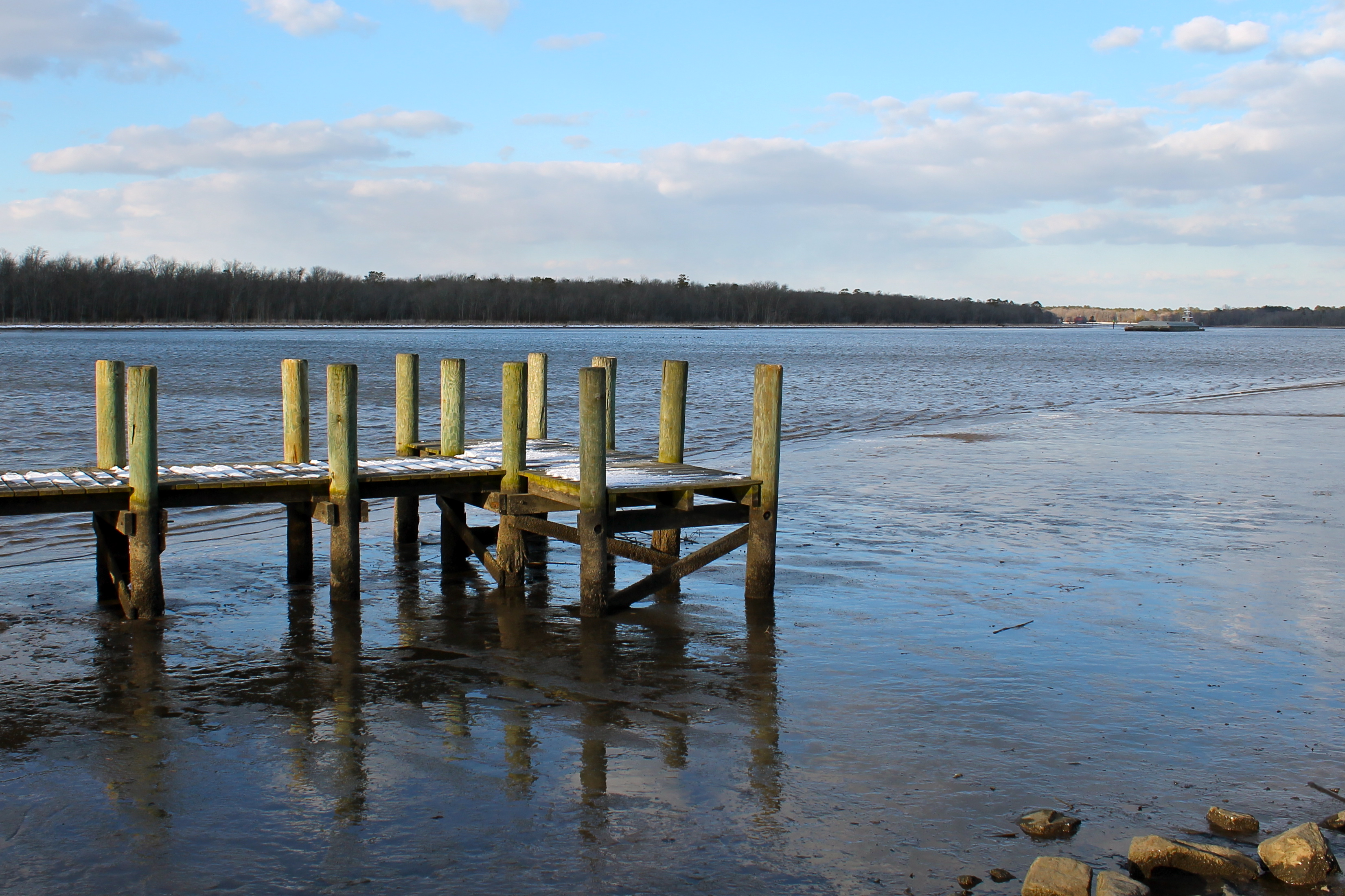
dock 2

Farmland in Caroline County, Md.
#laurel#delaware #clouds
Twilight at the Farm

Backlit Clouds
6-24-07 059
6-24-07 070
Week 5 of my river

Sharptown Planting After
A Cold Day on the Water

Sharptown Planting After
Topographic Map of Morgans Way, Laurel, DE, USA
Find elevation by address:

Places near Morgans Way, Laurel, DE, USA:
River Rd, Laurel, DE, USA
Baileys Landing Dr, Bethel, DE, USA
6393 Baileys Landing Dr
Shell Bridge Rd, Laurel, DE, USA
Tussock Dr, Laurel, DE, USA
6163 Mallard Point
River Rd, Seaford, DE, USA
7443 Shell Bridge Rd
Bethel
Woodland Rd, Seaford, DE, USA
7883 Gum Branch Rd
Butler Branch Rd, Seaford, DE, USA
Ralphs Rd, Laurel, DE, USA
26397 Line Rd
25607 Brookside Dr
Grace Cir, Seaford, DE, USA
4602 W Stein Hwy
86 Line Rd
Florence, Seaford, DE, USA
Woodland Ferry Rd, Seaford, DE, USA
Recent Searches:
- Elevation of Congressional Dr, Stevensville, MD, USA
- Elevation of Bellview Rd, McLean, VA, USA
- Elevation of Stage Island Rd, Chatham, MA, USA
- Elevation of Shibuya Scramble Crossing, 21 Udagawacho, Shibuya City, Tokyo -, Japan
- Elevation of Jadagoniai, Kaunas District Municipality, Lithuania
- Elevation of Pagonija rock, Kranto 7-oji g. 8"N, Kaunas, Lithuania
- Elevation of Co Rd 87, Jamestown, CO, USA
- Elevation of Tenjo, Cundinamarca, Colombia
- Elevation of Côte-des-Neiges, Montreal, QC H4A 3J6, Canada
- Elevation of Bobcat Dr, Helena, MT, USA