Elevation of Hurlock, MD, USA
Location: United States > Maryland > Dorchester County > 15, Hurlock >
Longitude: -75.861531
Latitude: 38.6355387
Elevation: 14m / 46feet
Barometric Pressure: 101KPa
Elevation Map:
Satellite Map:
Related Photos:
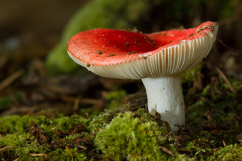
Mushroom - Explored
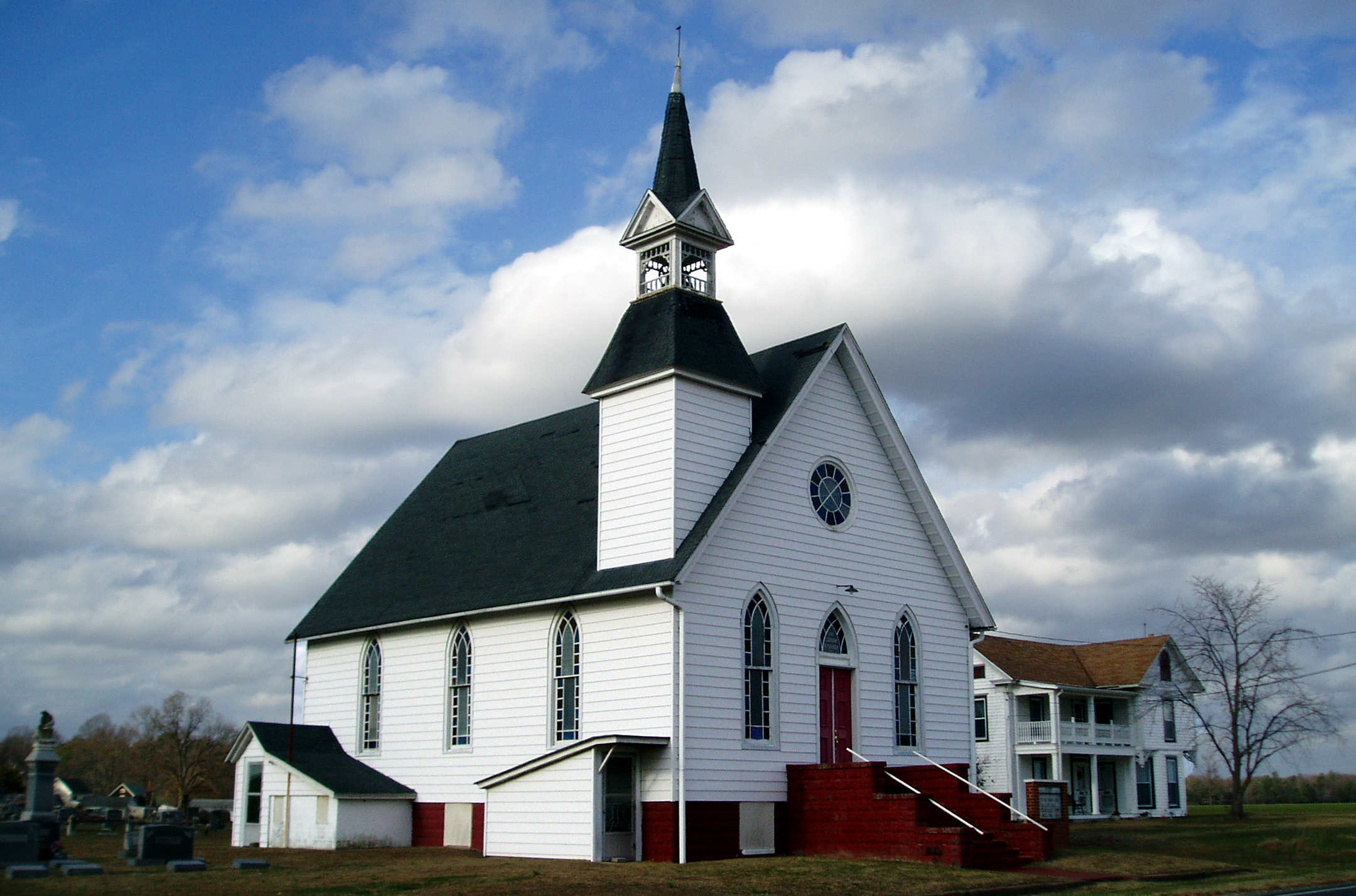
Eldorado U.M. Church

It's Not Pollen

My Favorite Dragonfly
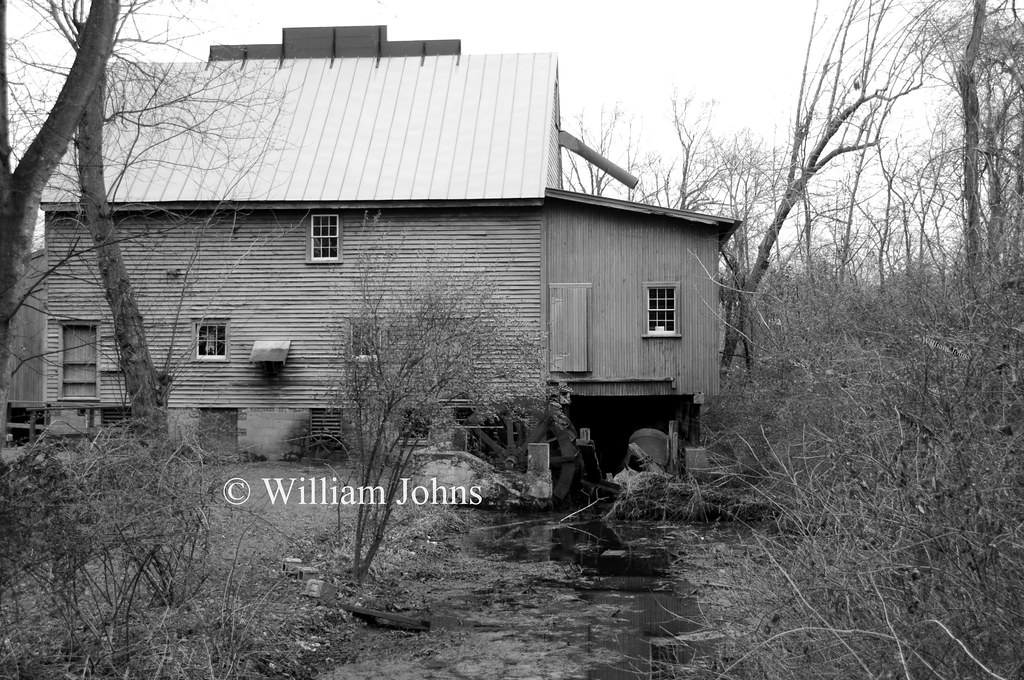
F. S. Langrell Linchester Flouring Mill: Rear View
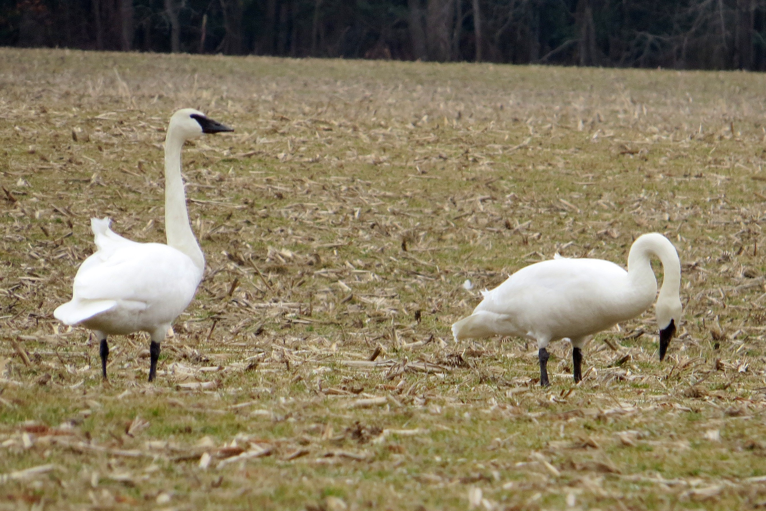
Trumpeter Swan

Apologies to my contacts
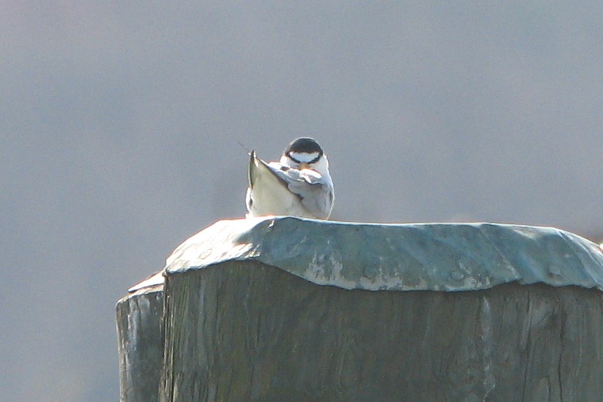
Least Tern
Treestand view

Little Yellow Bugs
Marker in Sussex County
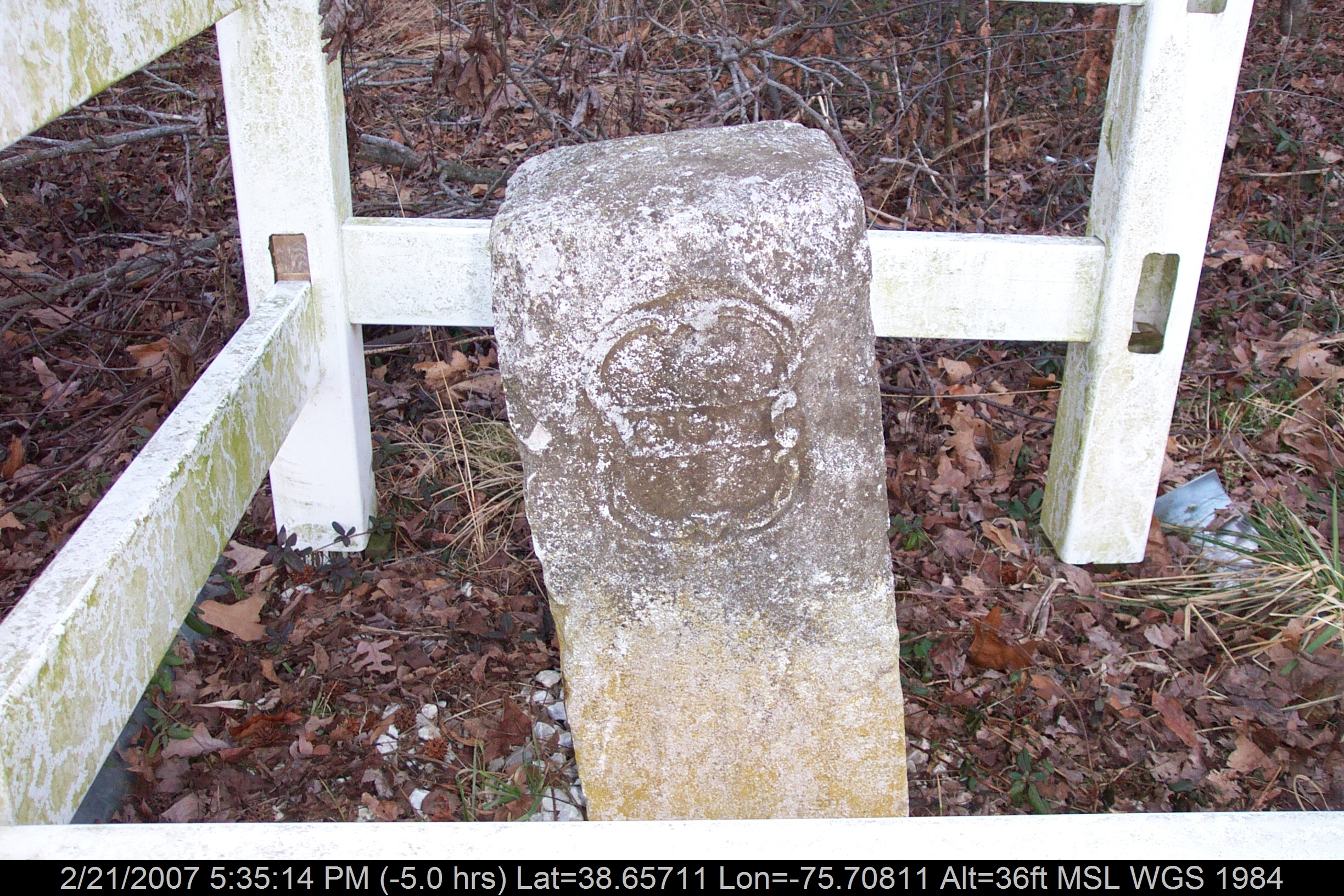
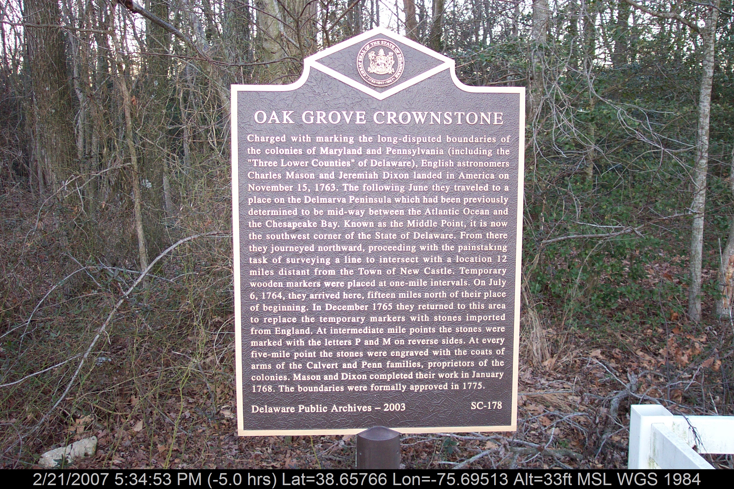
Mason-Dixon Line Marker
Find the Eagle

No Common Name
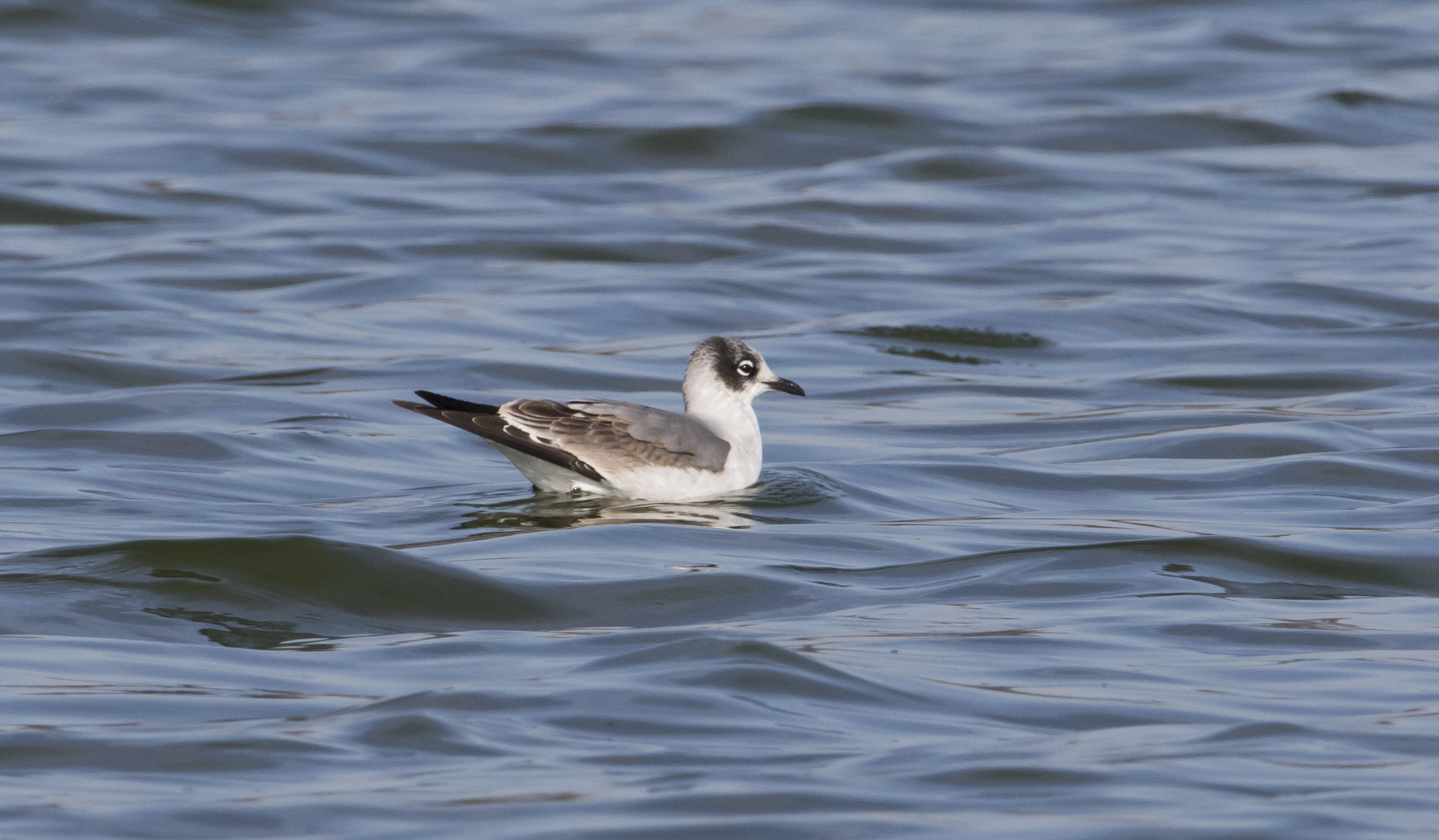
Franklin's Gull - Maryland
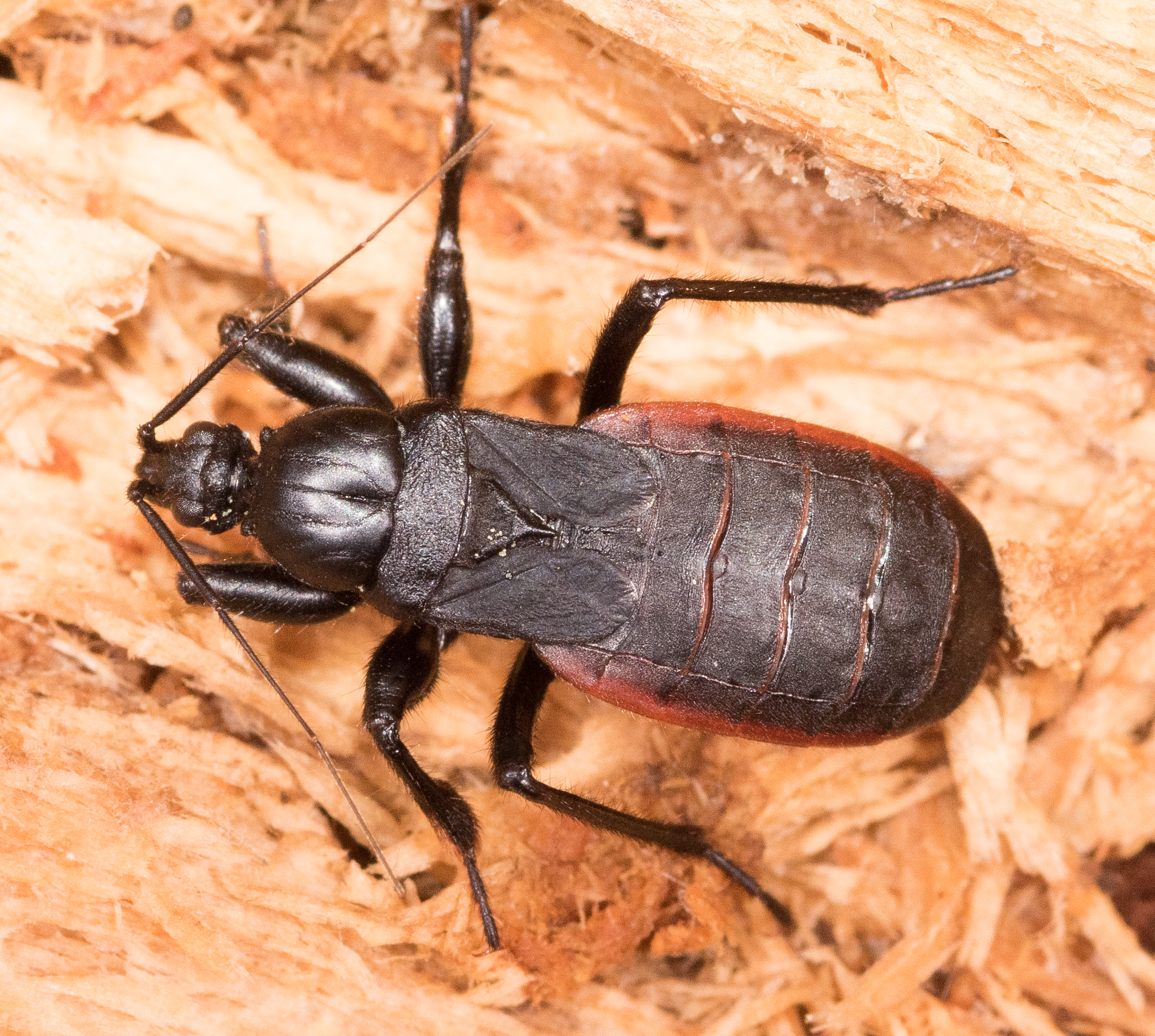
Black Corsair
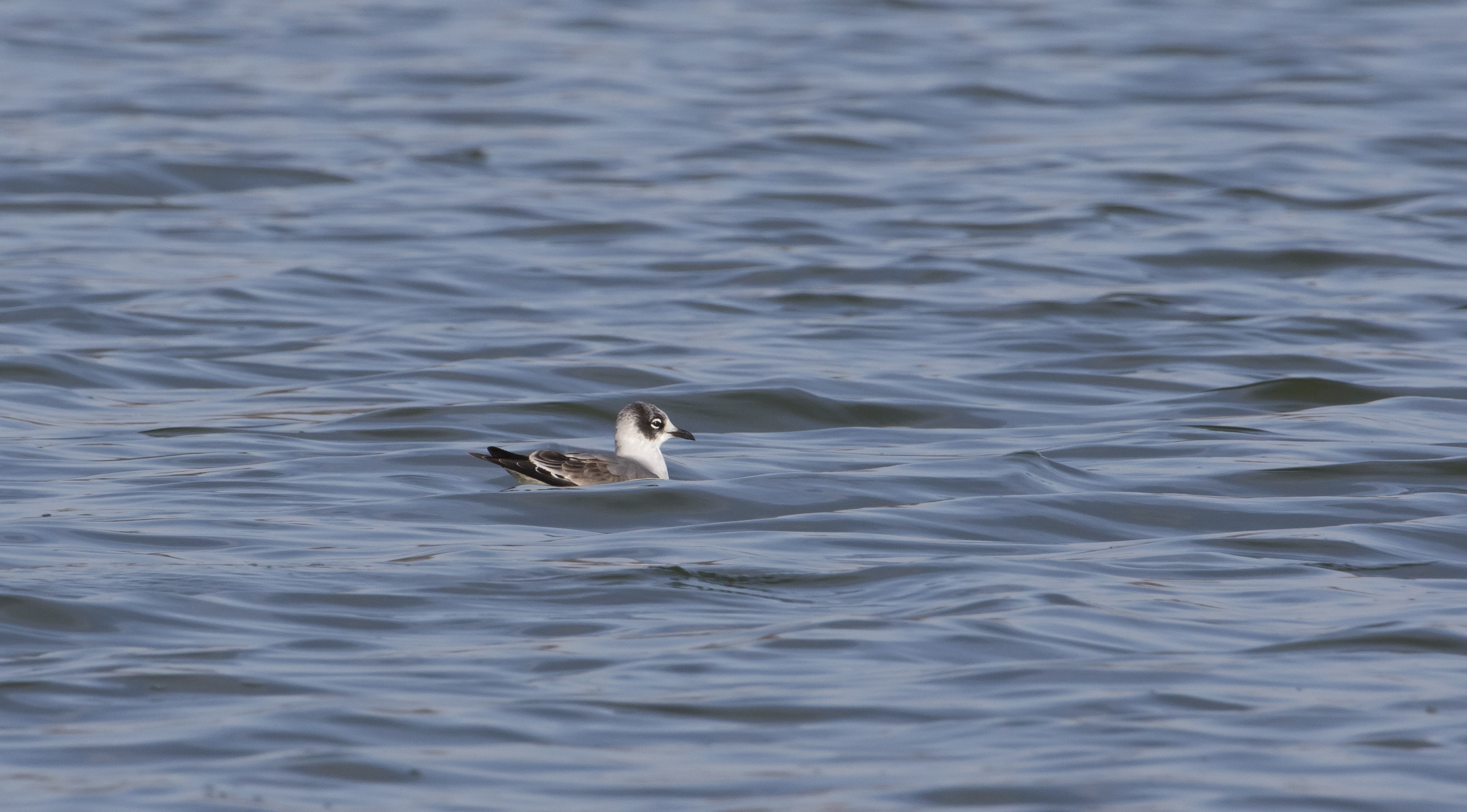
Franklin's Gull - Maryland
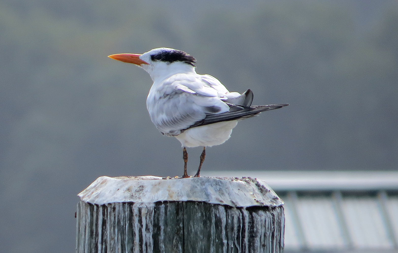
Royal Tern

How To Make A Flint Knife Edge

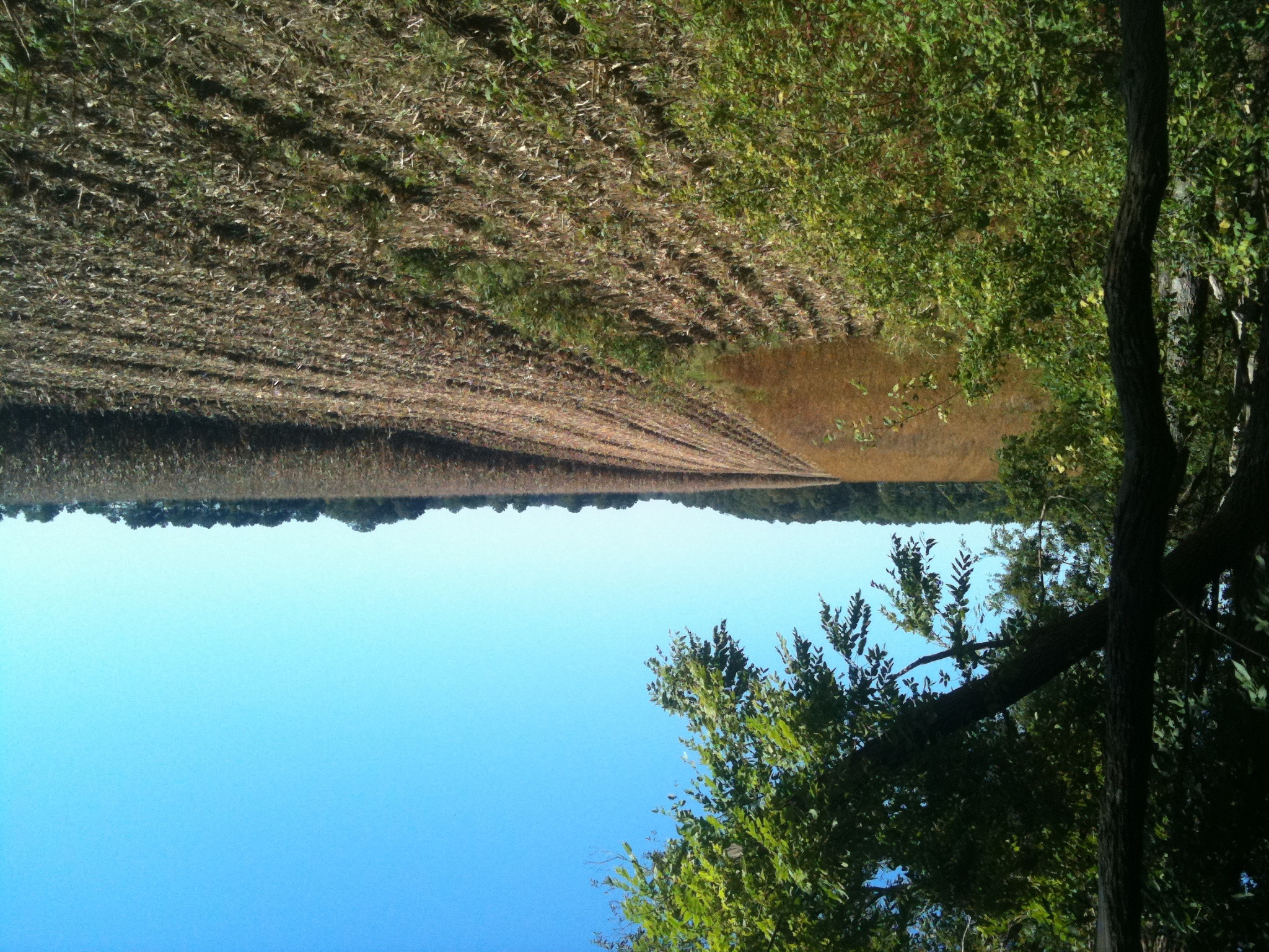
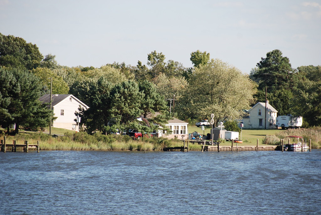
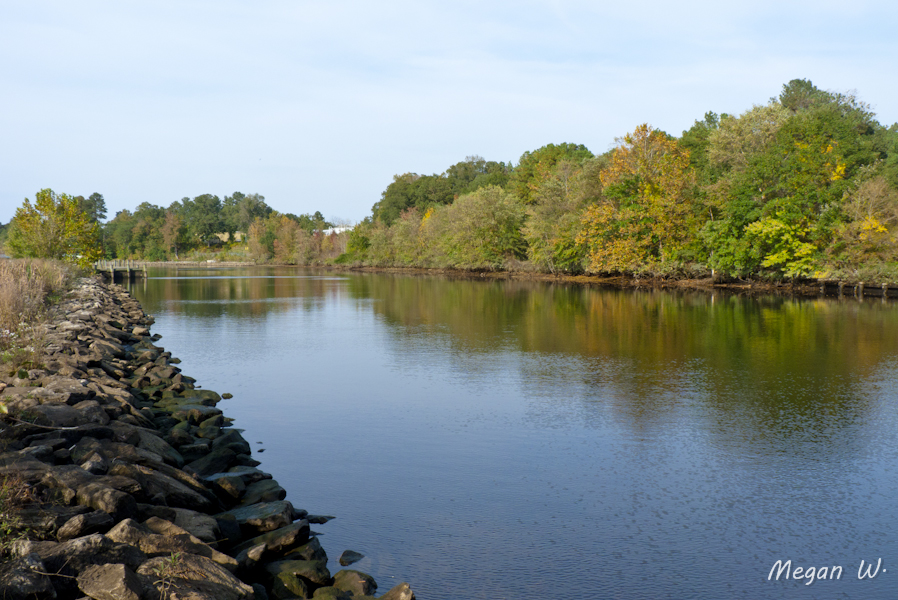
Choptank River

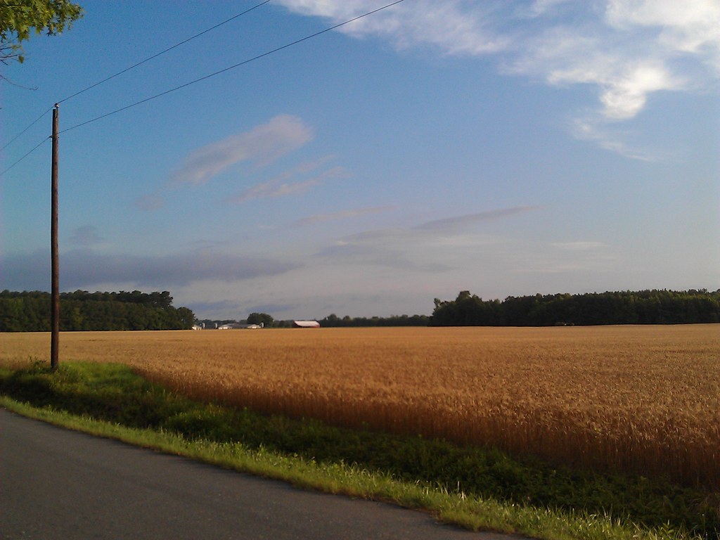
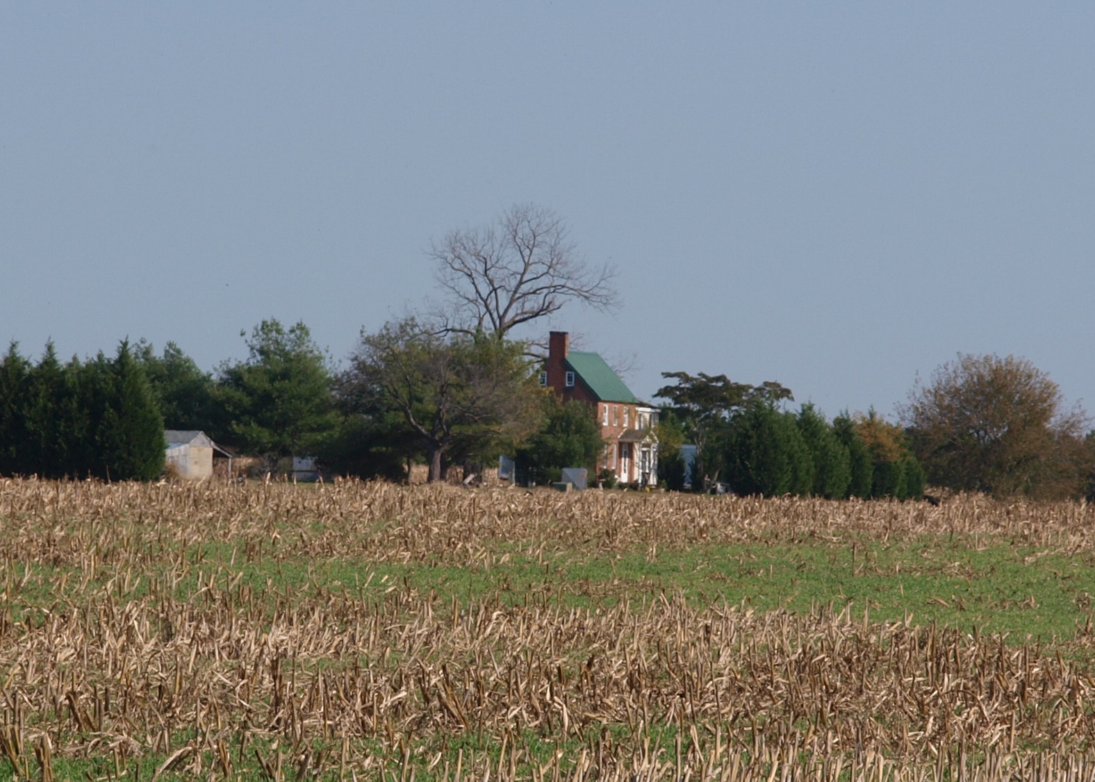
Farmland on the Choptank River

Harriet Tubman Underground Railroad Byway
Morning Bike Ride

Phragmites Marsh And Blue Sky
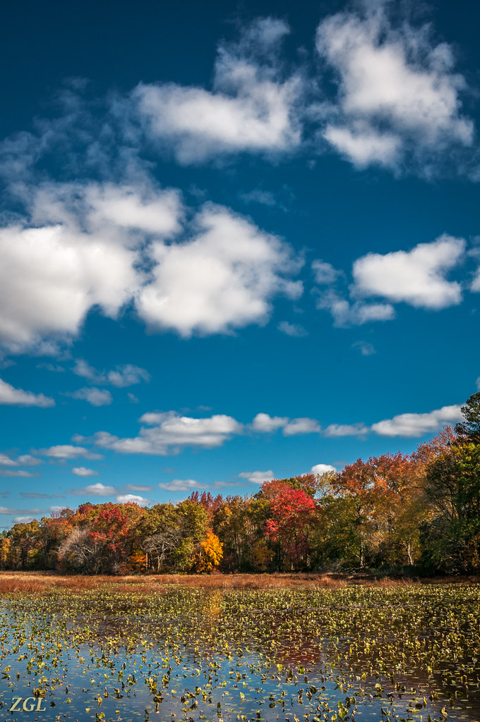
Big Mill Pond, Fall

Choptank River Dock
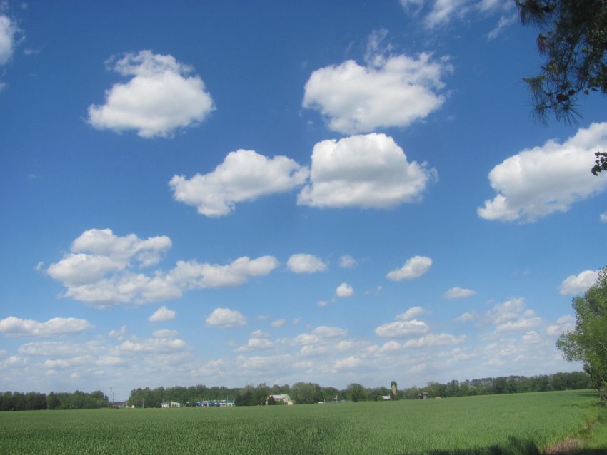
Farm fields and fluffy clouds
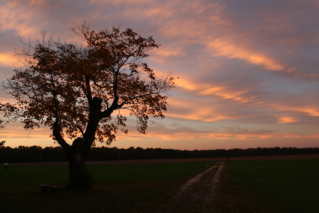
Twilight at the Farm

"Crab cakes and football, that's what Maryland does!"
Morning Bike Ride

Flying South 313/365
Chesapeake Bay
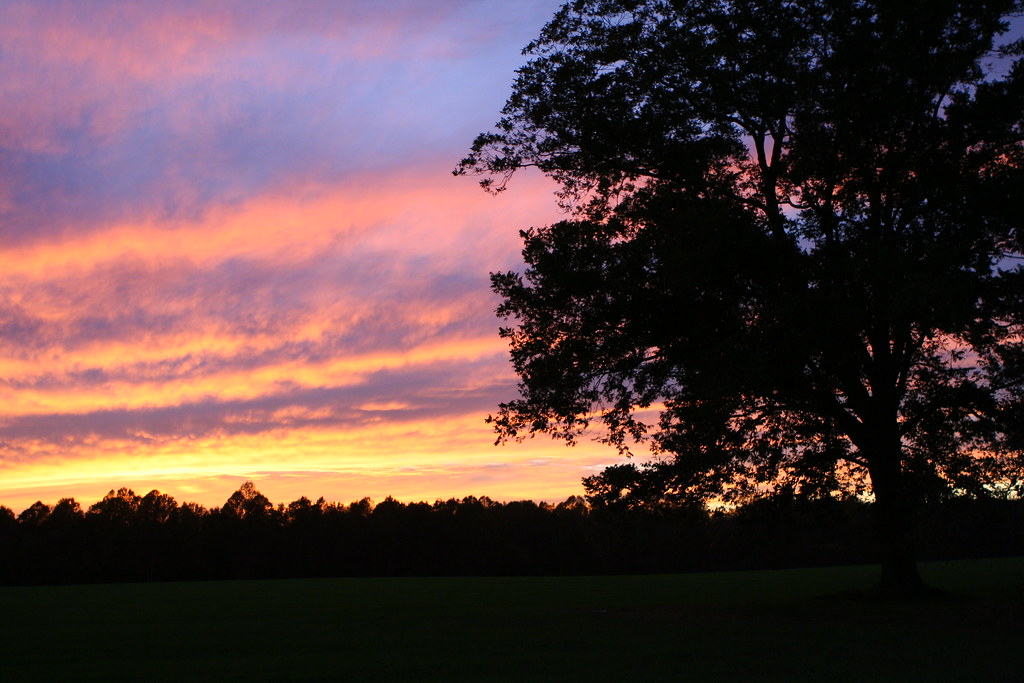
Twilight at the Farm

Farmland in Caroline County, Md.

Choptank Marina In Fall

Galestown Millpond Dam
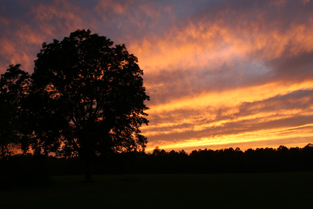
Twilight at the Farm
Marshy Hope
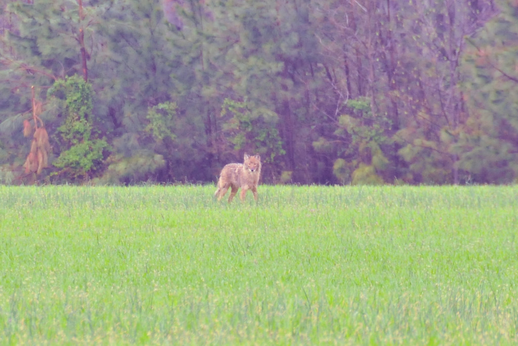
Coyote!
Levenger house, Preston, MD, important stop on the Underground Railroad
Topographic Map of Hurlock, MD, USA
Find elevation by address:

Places in Hurlock, MD, USA:
Hurlock Elwood Rd, Hurlock, MD, USA
Lucy Fish Ln, Hurlock, MD, USA
Petersburg Rd, Hurlock, MD, USA
Hughes Ct, Hurlock, MD, USA
Harrison Ferry Road
Places near Hurlock, MD, USA:
15, Hurlock
Hughes Ct, Hurlock, MD, USA
Petersburg Rd, Hurlock, MD, USA
Lucy Fish Ln, Hurlock, MD, USA
Cabin Creek Rd, Hurlock, MD, USA
Palmer Mill Rd, Hurlock, MD, USA
Harrison Ferry Road
2, East New Market
East New Market
Mt Holly Rd, East New Market, MD, USA
1, Fork
Maiden Forest Rd, Rhodesdale, MD, USA
3, Vienna
Rhodesdale Vienna Rd, Vienna, MD, USA
86 Line Rd
Woodland Ferry Rd, Seaford, DE, USA
26397 Line Rd
25607 Brookside Dr
Elzey Brown Loop, Mardela Springs, MD, USA
4602 W Stein Hwy
Recent Searches:
- Elevation of Corso Fratelli Cairoli, 35, Macerata MC, Italy
- Elevation of Tallevast Rd, Sarasota, FL, USA
- Elevation of 4th St E, Sonoma, CA, USA
- Elevation of Black Hollow Rd, Pennsdale, PA, USA
- Elevation of Oakland Ave, Williamsport, PA, USA
- Elevation of Pedrógão Grande, Portugal
- Elevation of Klee Dr, Martinsburg, WV, USA
- Elevation of Via Roma, Pieranica CR, Italy
- Elevation of Tavkvetili Mountain, Georgia
- Elevation of Hartfords Bluff Cir, Mt Pleasant, SC, USA