Elevation of Cabin Creek Rd, Hurlock, MD, USA
Location: United States > Maryland > Dorchester County >
Longitude: -75.90391
Latitude: 38.651514
Elevation: 13m / 43feet
Barometric Pressure: 101KPa
Elevation Map:
Satellite Map:
Related Photos:
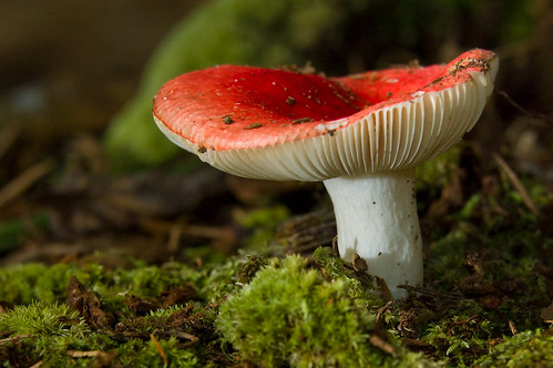
Mushroom - Explored
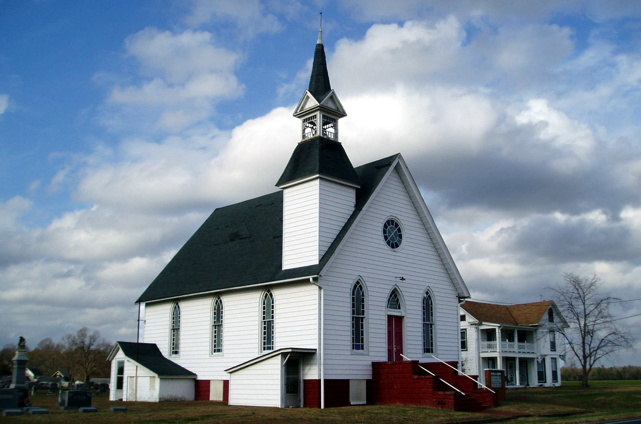
Eldorado U.M. Church

Choptank River

Hyatt Chesapeake Golf Course
Chesapeak bay Hyatt

It's Not Pollen

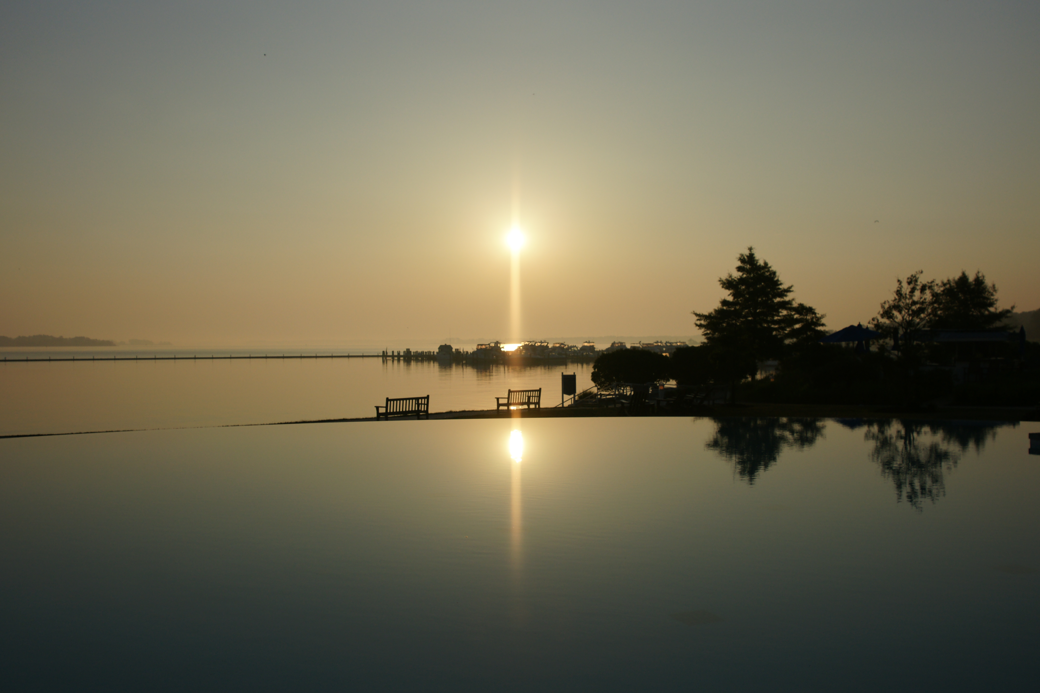
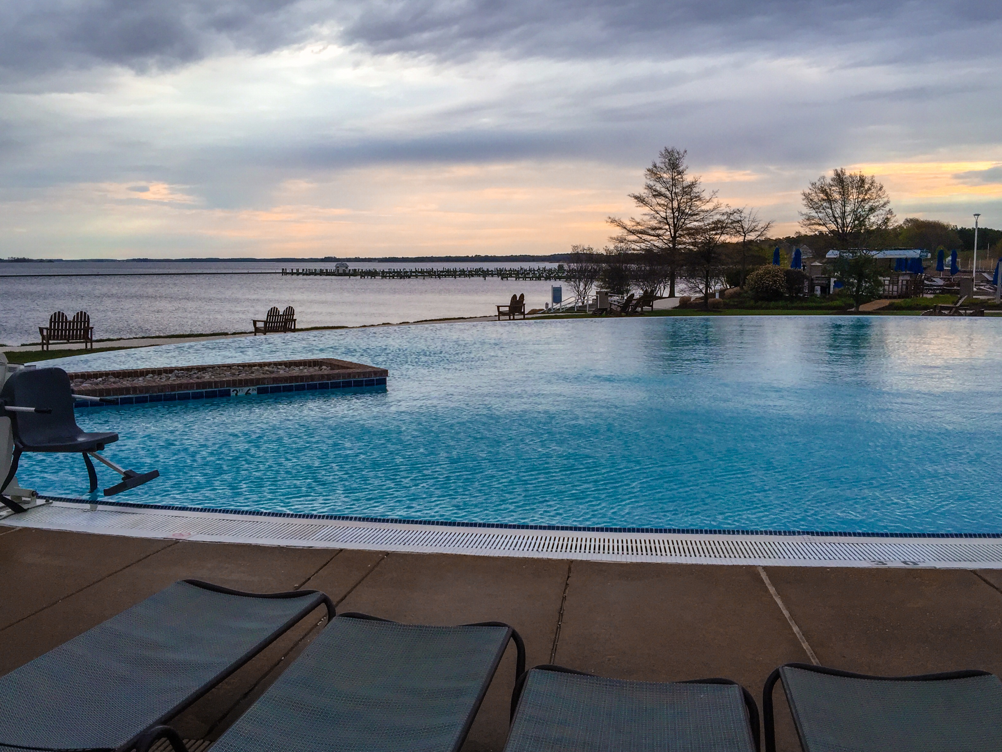
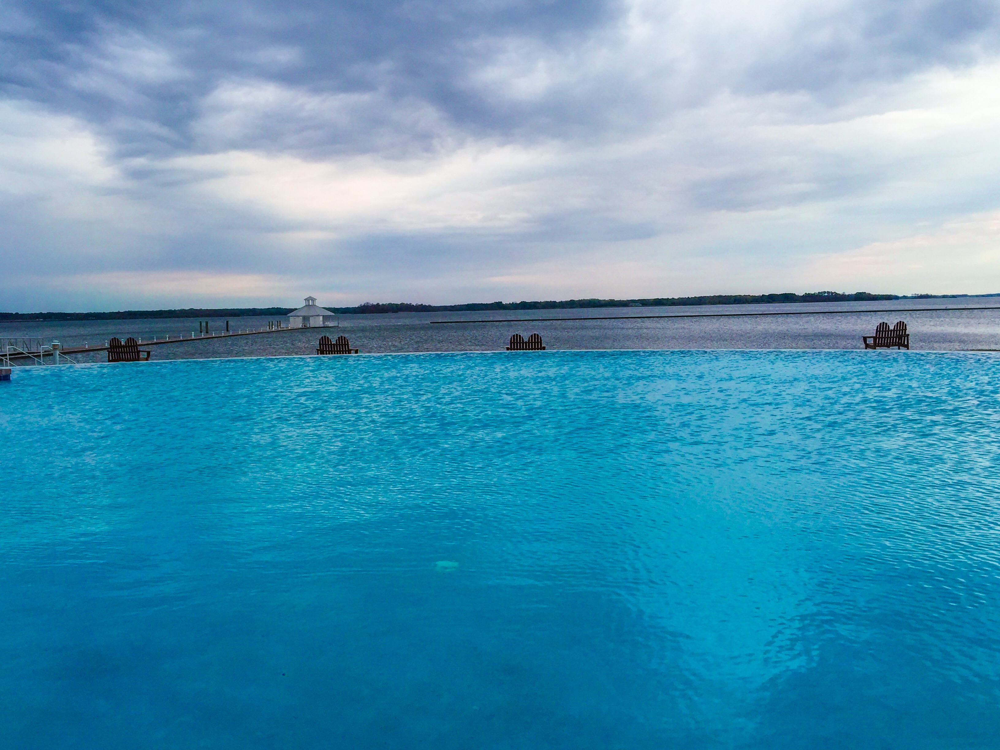
Pool View
Room with a view - at ACT/IAC's #MOC2013 - looking forward to moderating panels Monday
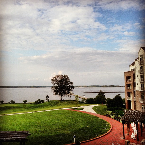
Chesapeake View

My Favorite Dragonfly

Bank and Turn
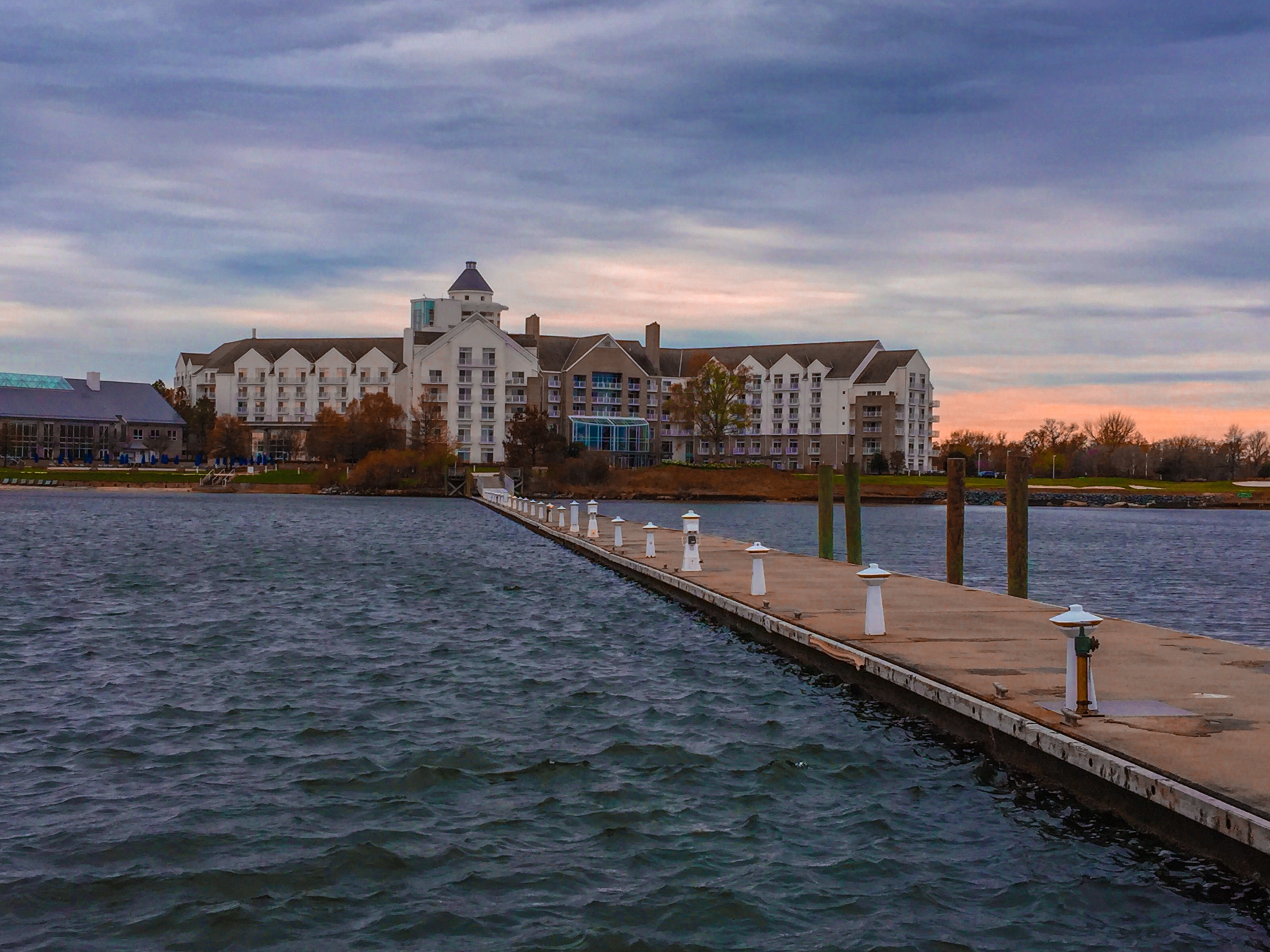
Hyatt Regency Chesapeake Bay
Old White Marsh Episcopal Church
F. S. Langrell Linchester Flouring Mill: Rear View

Apologies to my contacts
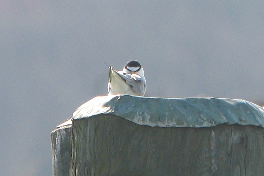
Least Tern
Treestand view
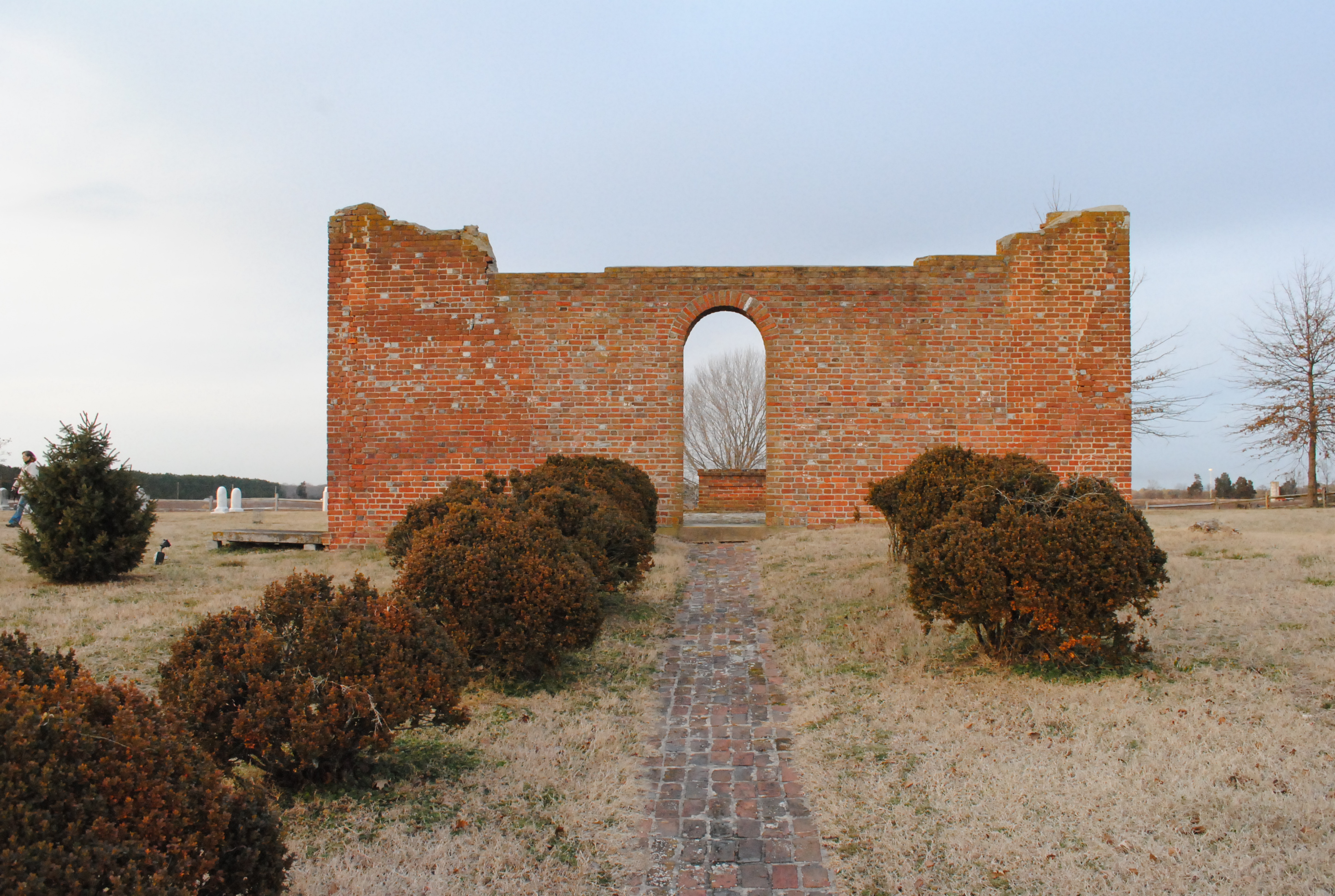
Old White Marsh Episcopal Church
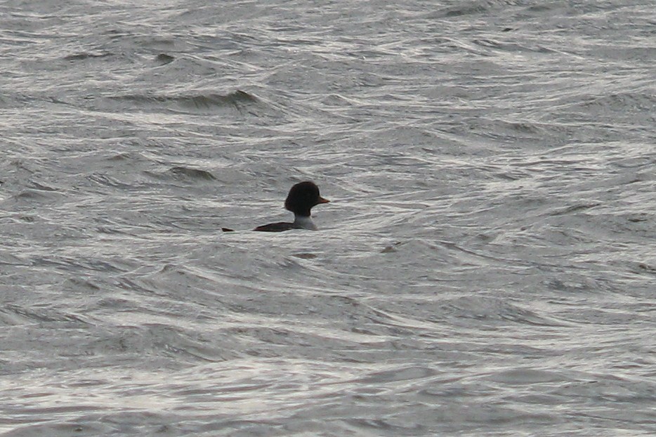
Barrow's Goldeneye

Little Yellow Bugs
Old White Marsh Episcopal Church
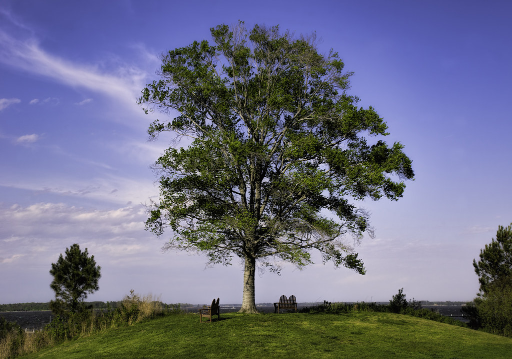
A Tree By the River
Chesapeake Bay Hyatt Resort
Chesapeake Bay Hyatt Resort
Chesapeake Bay Hyatt Resort
Chesapeake Bay Hyatt Resort
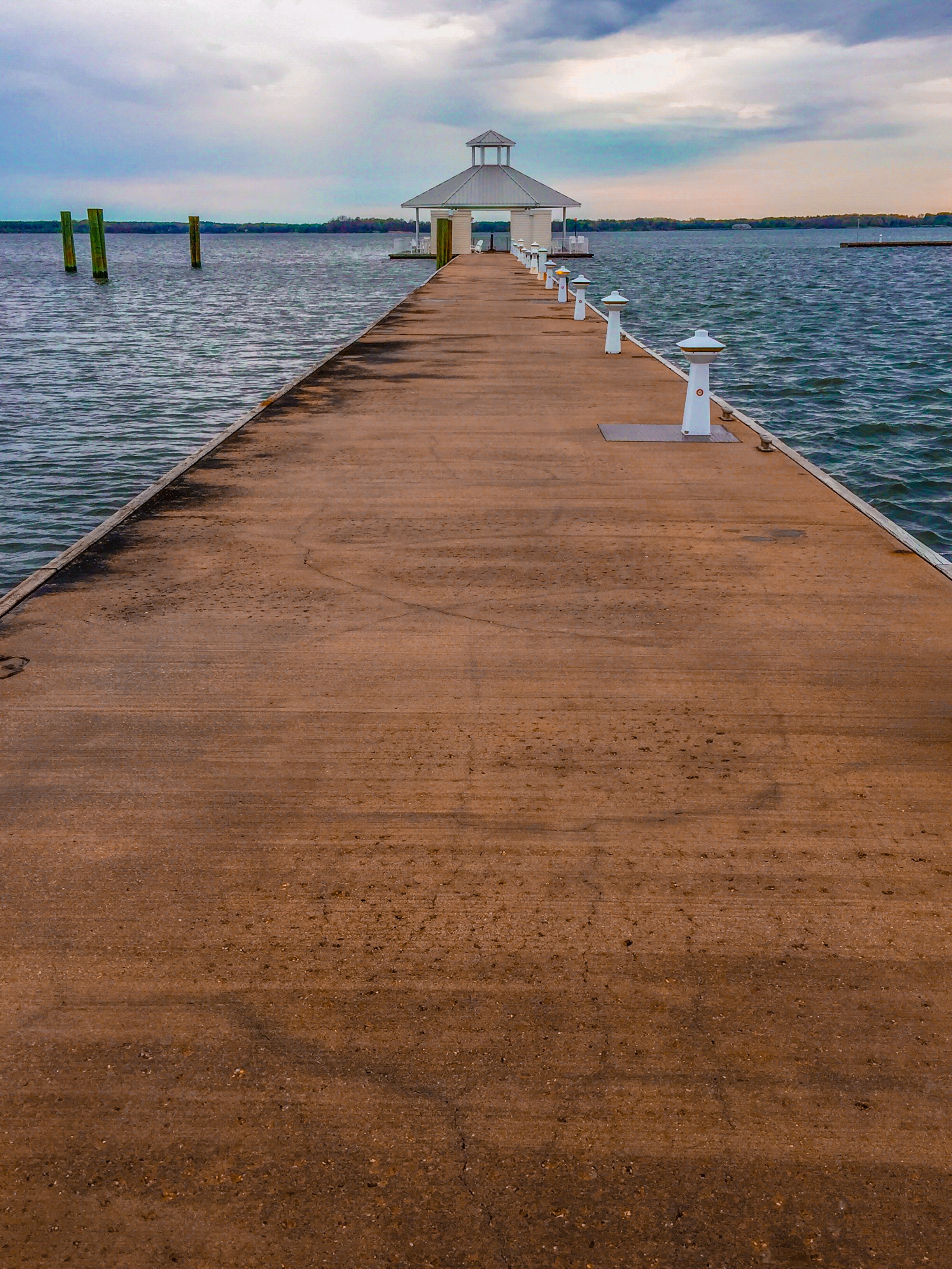
Chesapeake Bay Hyatt Resort
05024 Choptank Sunset
Trying the fishing out in Maryland. #nobites

Trying the fishing out in Maryland. #nobites
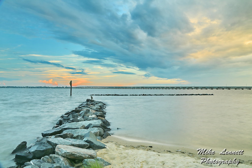
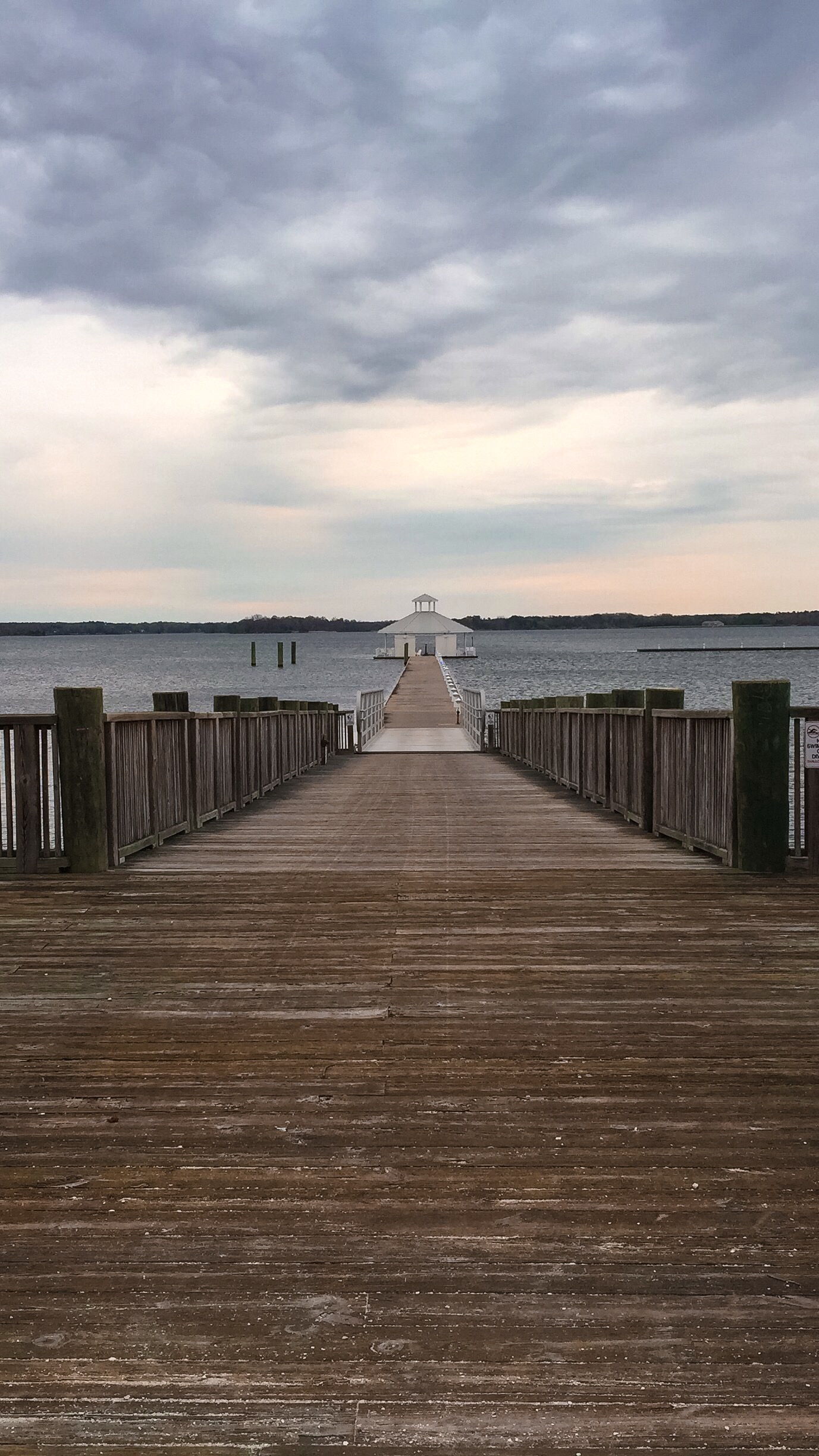
05035 Stone Jetty - Choptank River

Choptank River
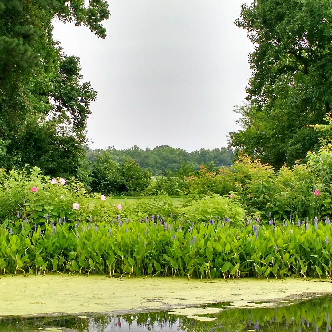
A little Giverny in the Chesapeake. #vacation #family #summertime

Choptank River #sunset #sunshots2013
Morning Bike Ride

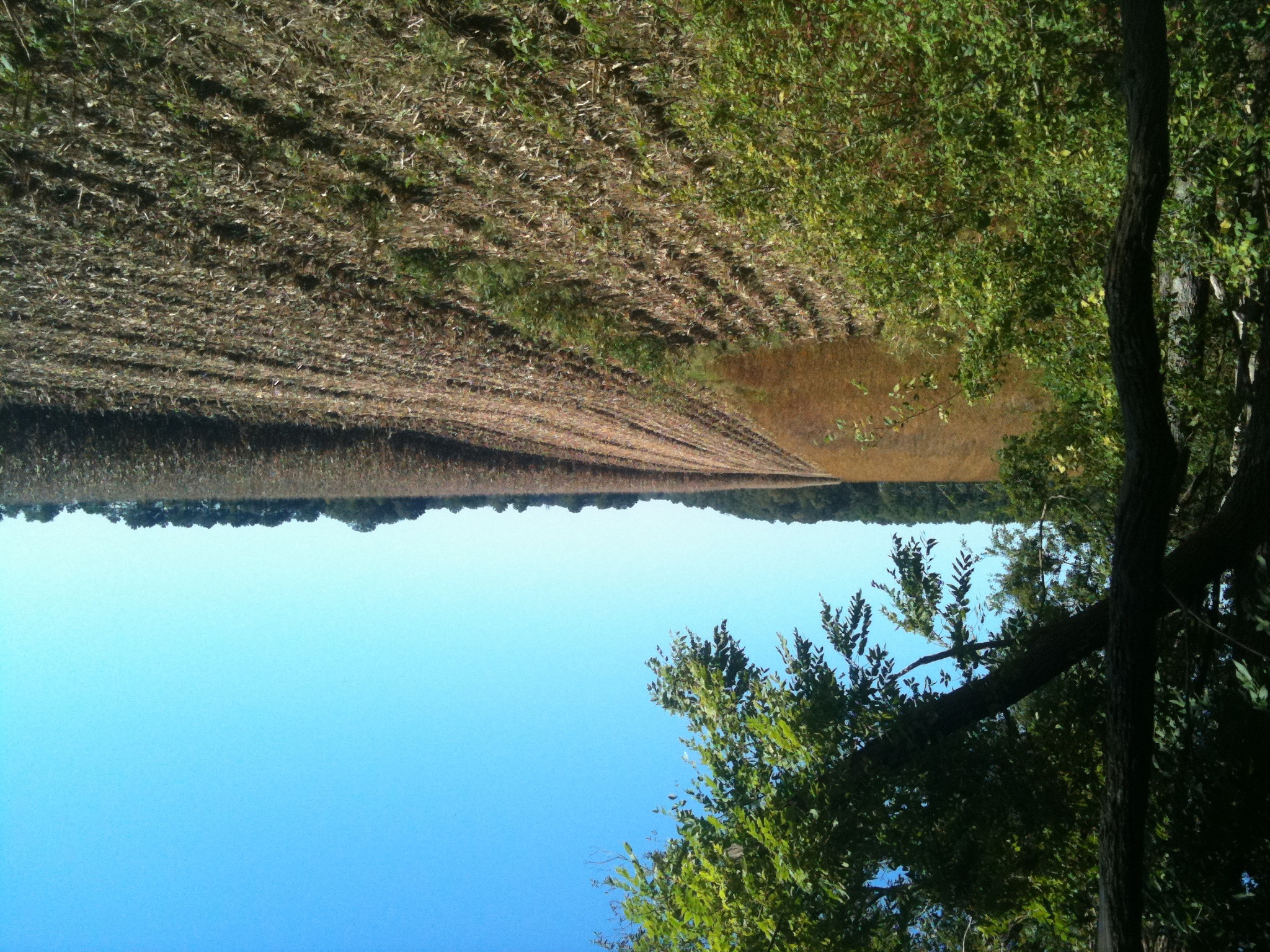
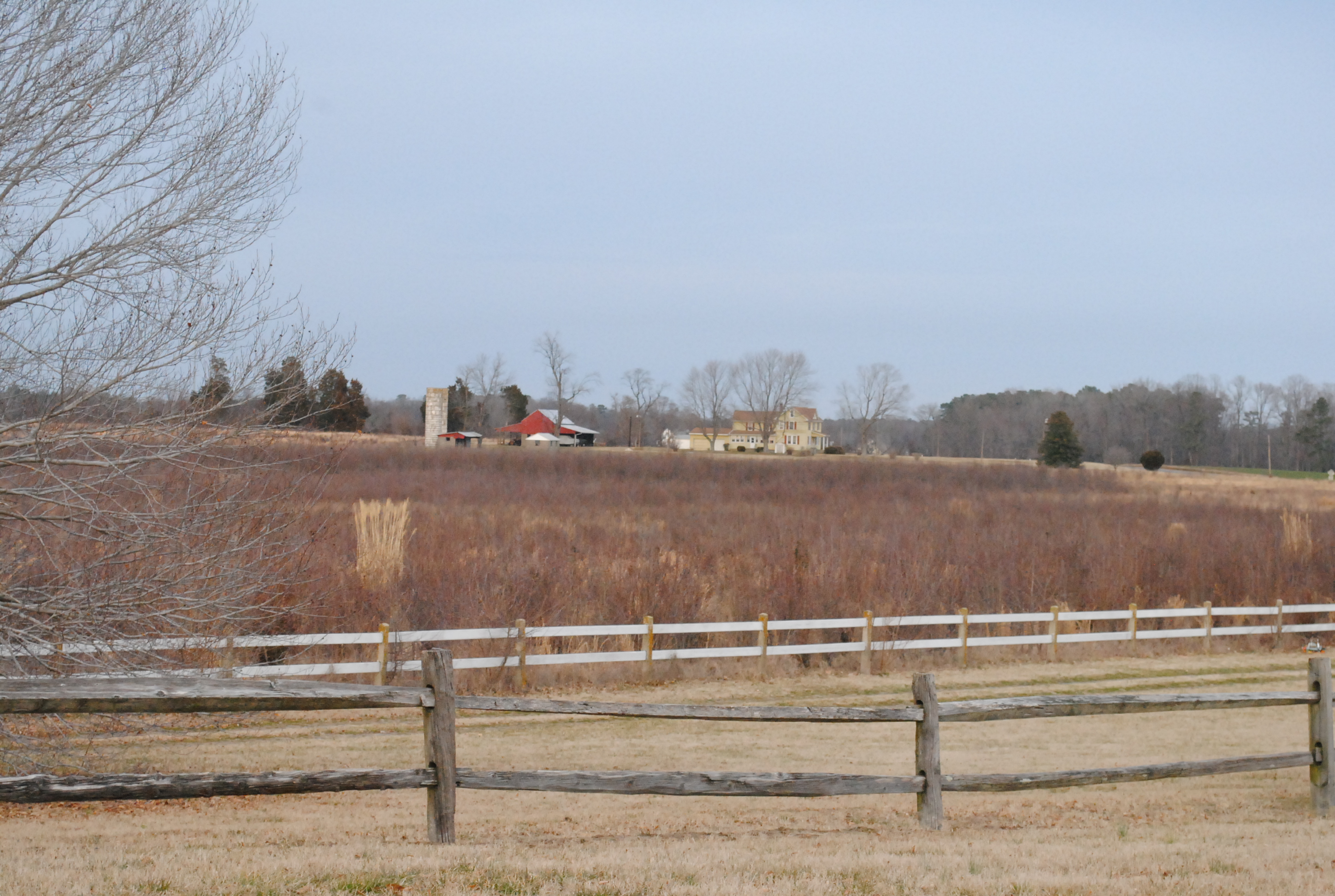
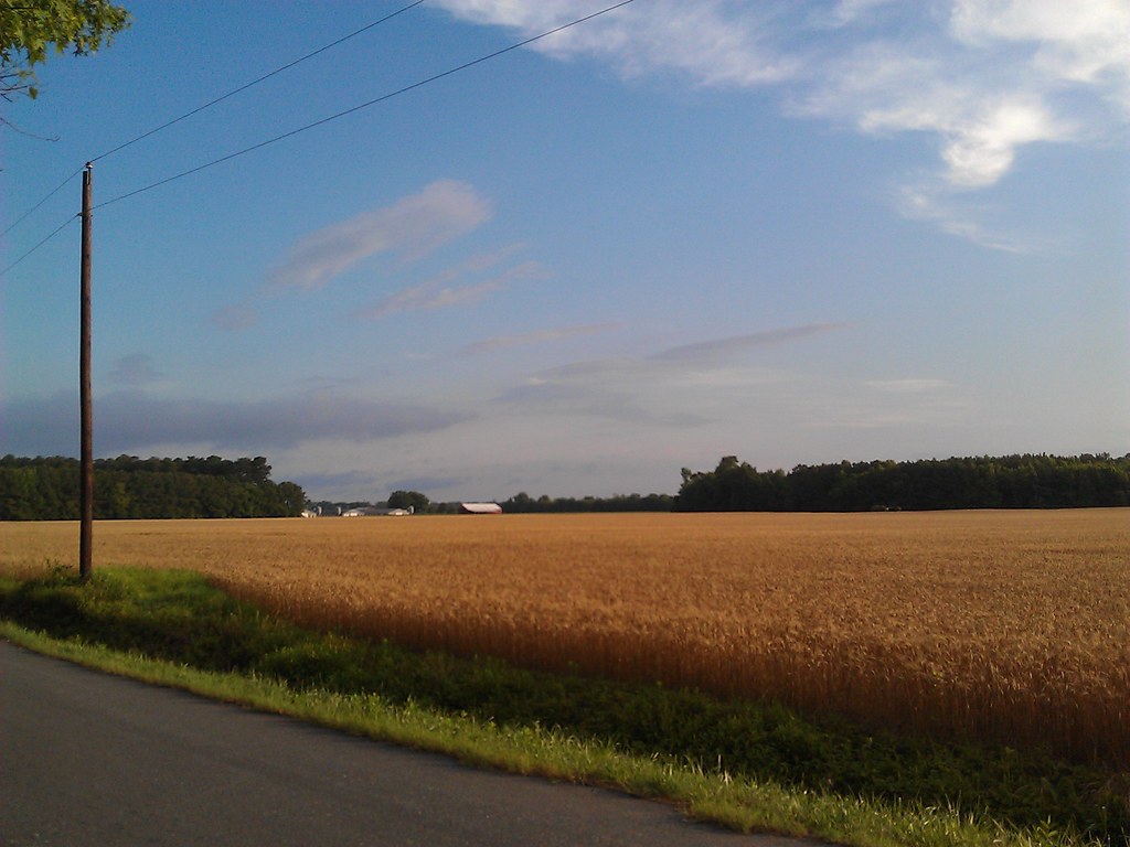
Farmland on the Choptank River

Harriet Tubman Underground Railroad Byway

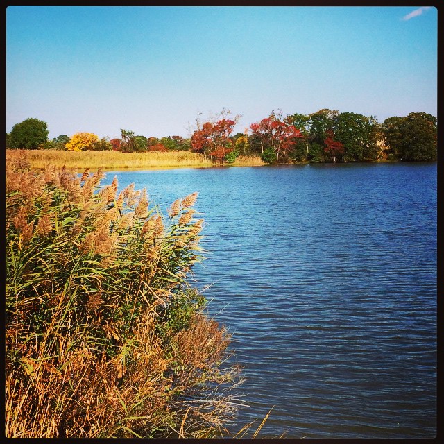
Phragmites Marsh And Blue Sky
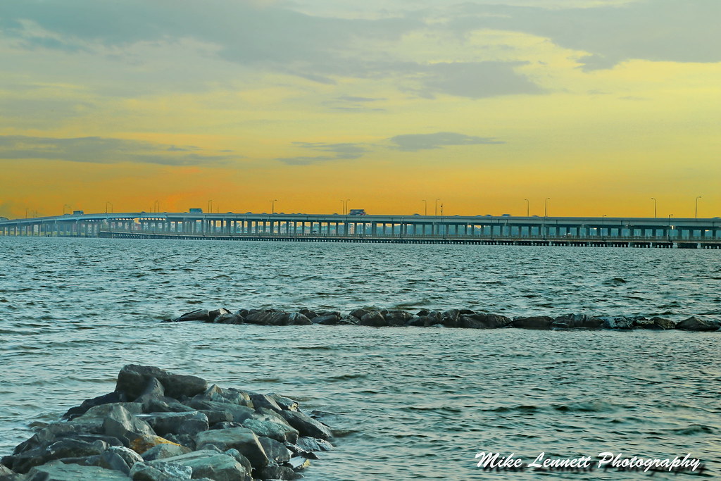
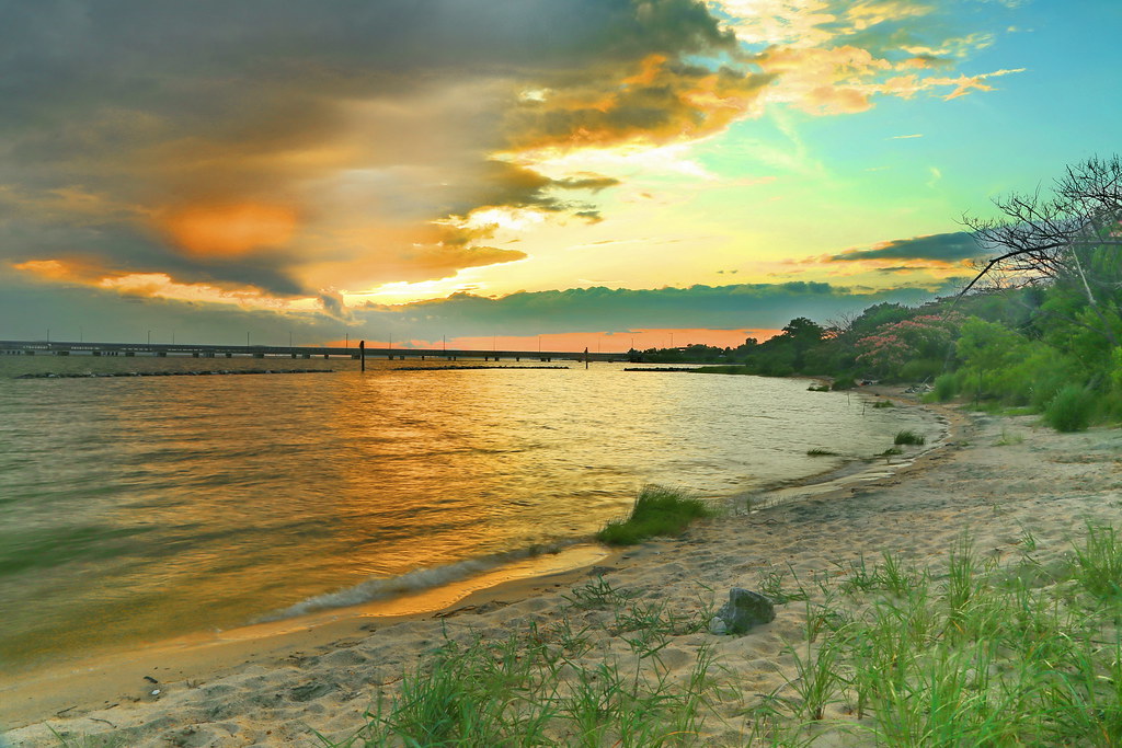
04997 Choptank River Bridge - Sunset
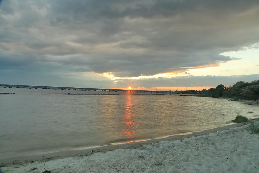
05036 Z Choptank River Beach - sunset
Topographic Map of Cabin Creek Rd, Hurlock, MD, USA
Find elevation by address:

Places near Cabin Creek Rd, Hurlock, MD, USA:
15, Hurlock
Hurlock
Hughes Ct, Hurlock, MD, USA
2, East New Market
East New Market
Mt Holly Rd, East New Market, MD, USA
Petersburg Rd, Hurlock, MD, USA
Lucy Fish Ln, Hurlock, MD, USA
Palmer Mill Rd, Hurlock, MD, USA
Harrison Ferry Road
1, Fork
Maiden Forest Rd, Rhodesdale, MD, USA
3, Vienna
Rhodesdale Vienna Rd, Vienna, MD, USA
86 Line Rd
Woodland Ferry Rd, Seaford, DE, USA
26397 Line Rd
25607 Brookside Dr
Elzey Brown Loop, Mardela Springs, MD, USA
4602 W Stein Hwy
Recent Searches:
- Elevation of Corso Fratelli Cairoli, 35, Macerata MC, Italy
- Elevation of Tallevast Rd, Sarasota, FL, USA
- Elevation of 4th St E, Sonoma, CA, USA
- Elevation of Black Hollow Rd, Pennsdale, PA, USA
- Elevation of Oakland Ave, Williamsport, PA, USA
- Elevation of Pedrógão Grande, Portugal
- Elevation of Klee Dr, Martinsburg, WV, USA
- Elevation of Via Roma, Pieranica CR, Italy
- Elevation of Tavkvetili Mountain, Georgia
- Elevation of Hartfords Bluff Cir, Mt Pleasant, SC, USA