Elevation of Hughes Ct, Hurlock, MD, USA
Location: United States > Maryland > Dorchester County > 15, Hurlock > Hurlock >
Longitude: -75.854992
Latitude: 38.666716
Elevation: 16m / 52feet
Barometric Pressure: 101KPa
Elevation Map:
Satellite Map:
Related Photos:
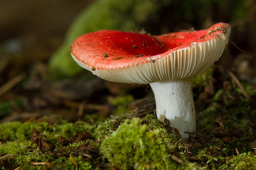
Mushroom - Explored
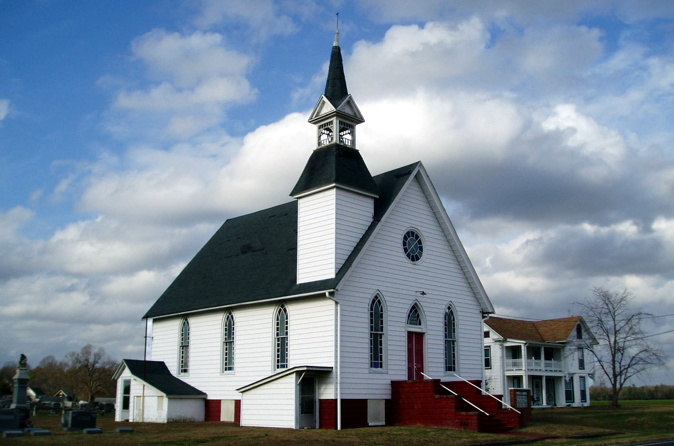
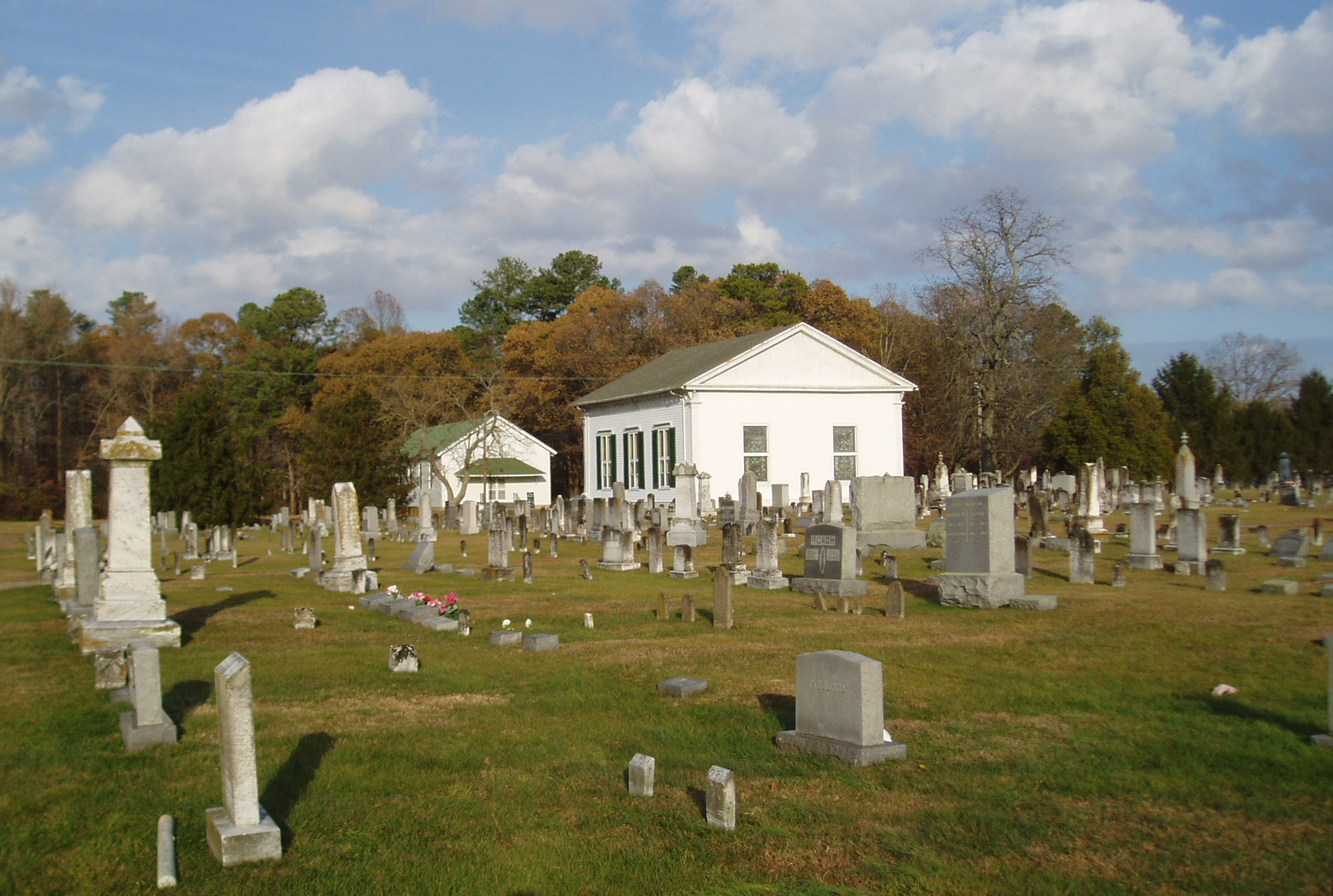
Eldorado U.M. Church

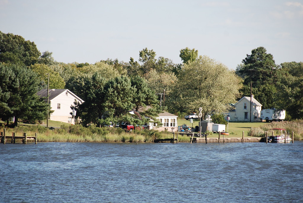
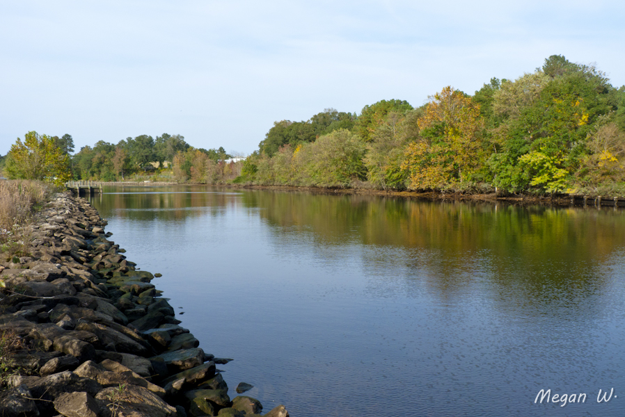
Choptank River
Apologies to my contacts
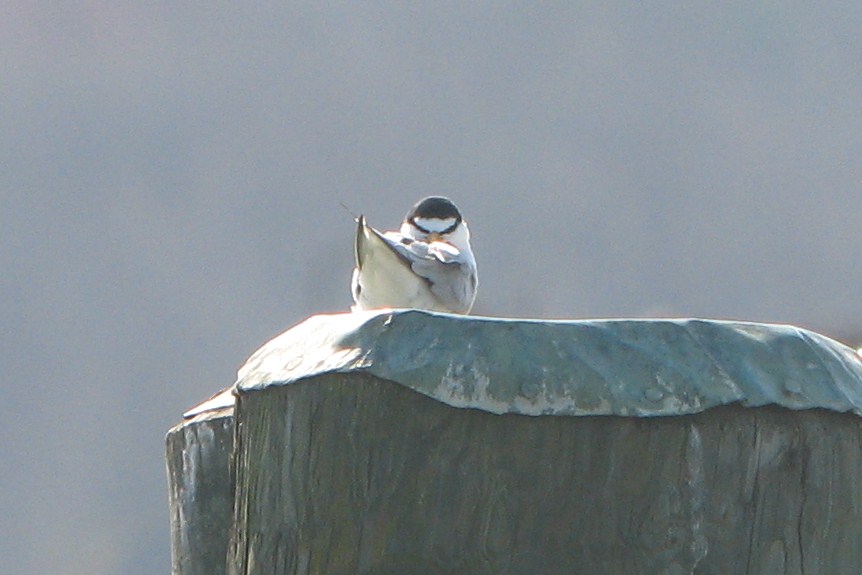
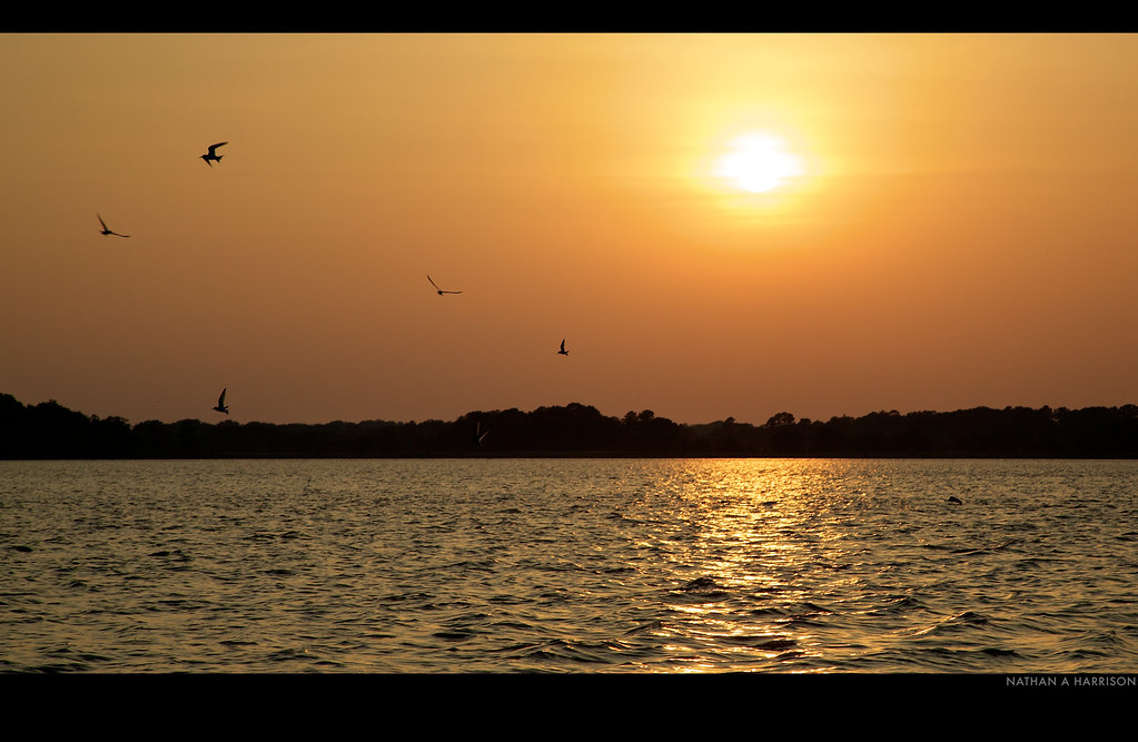
Least Tern
Blest be the tie that binds...

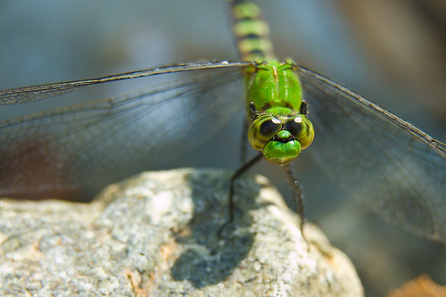
Little Yellow Bugs
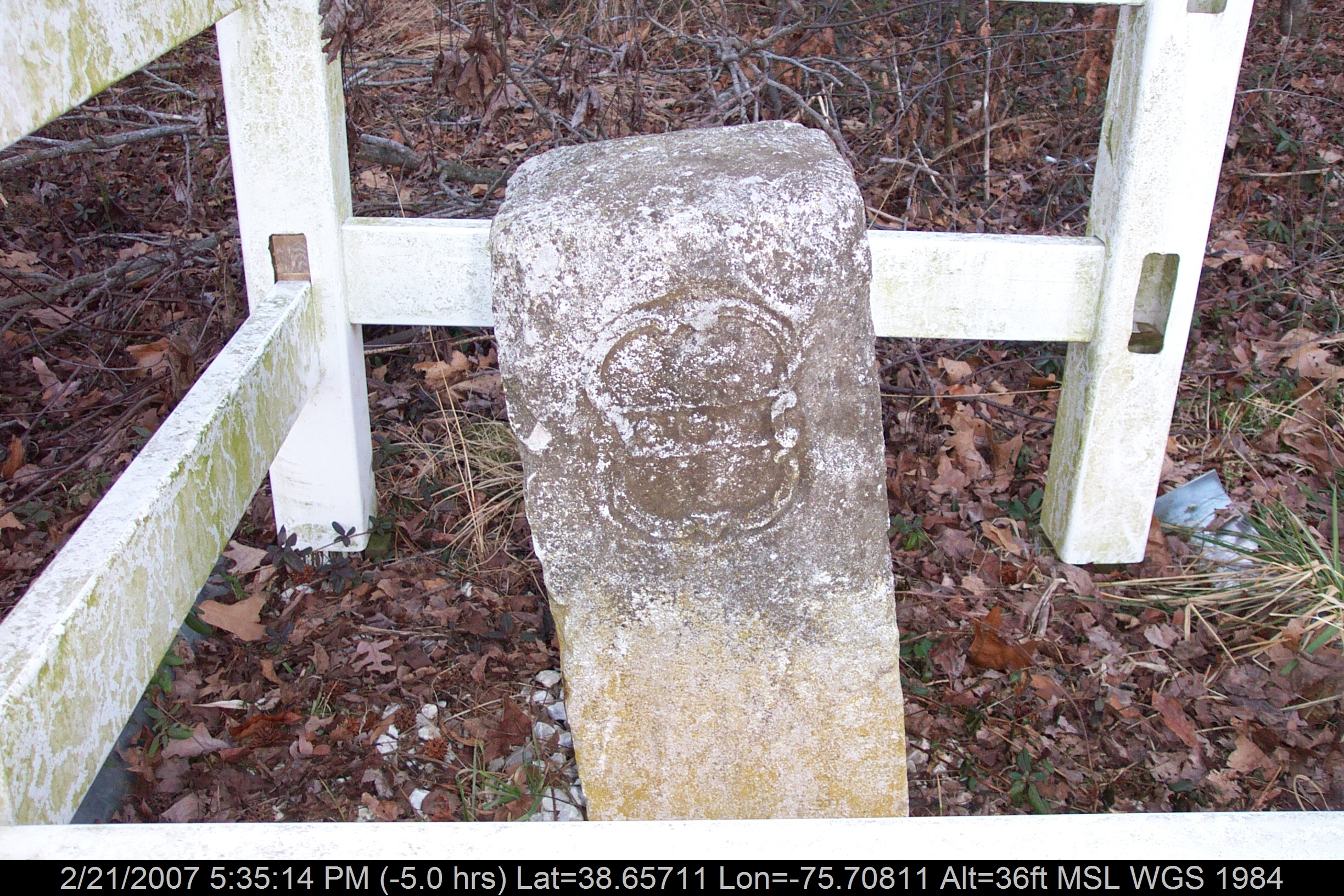
Mason-Dixon Line Marker
Find the Eagle
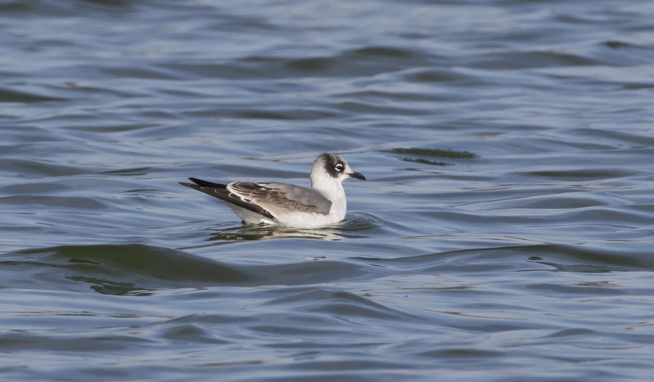
Franklin's Gull - Maryland
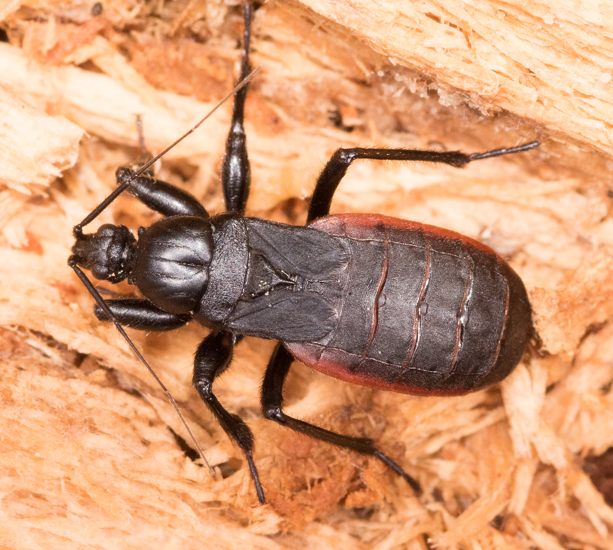
Black Corsair
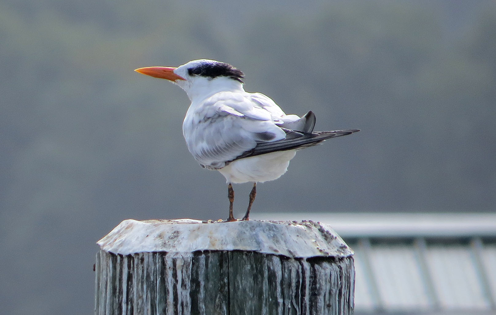
Royal Tern

No Common Name

Waved Light Fly

No Common Name
No Common Name
No Common Name

Tobacco Wireworm

Tylozygus bifidus

No Common Name

No Common Name

Choptank River

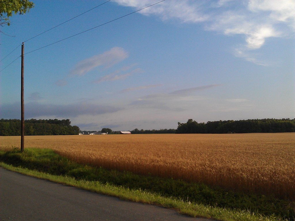
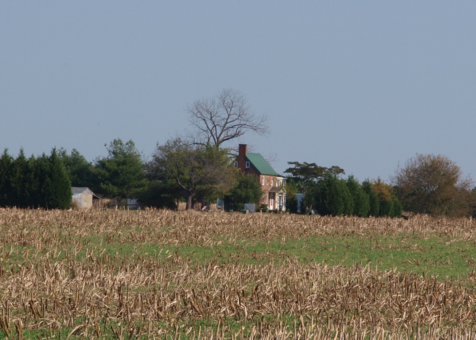
Farmland on the Choptank River

Harriet Tubman Underground Railroad Byway

"Crab cakes and football, that's what Maryland does!"
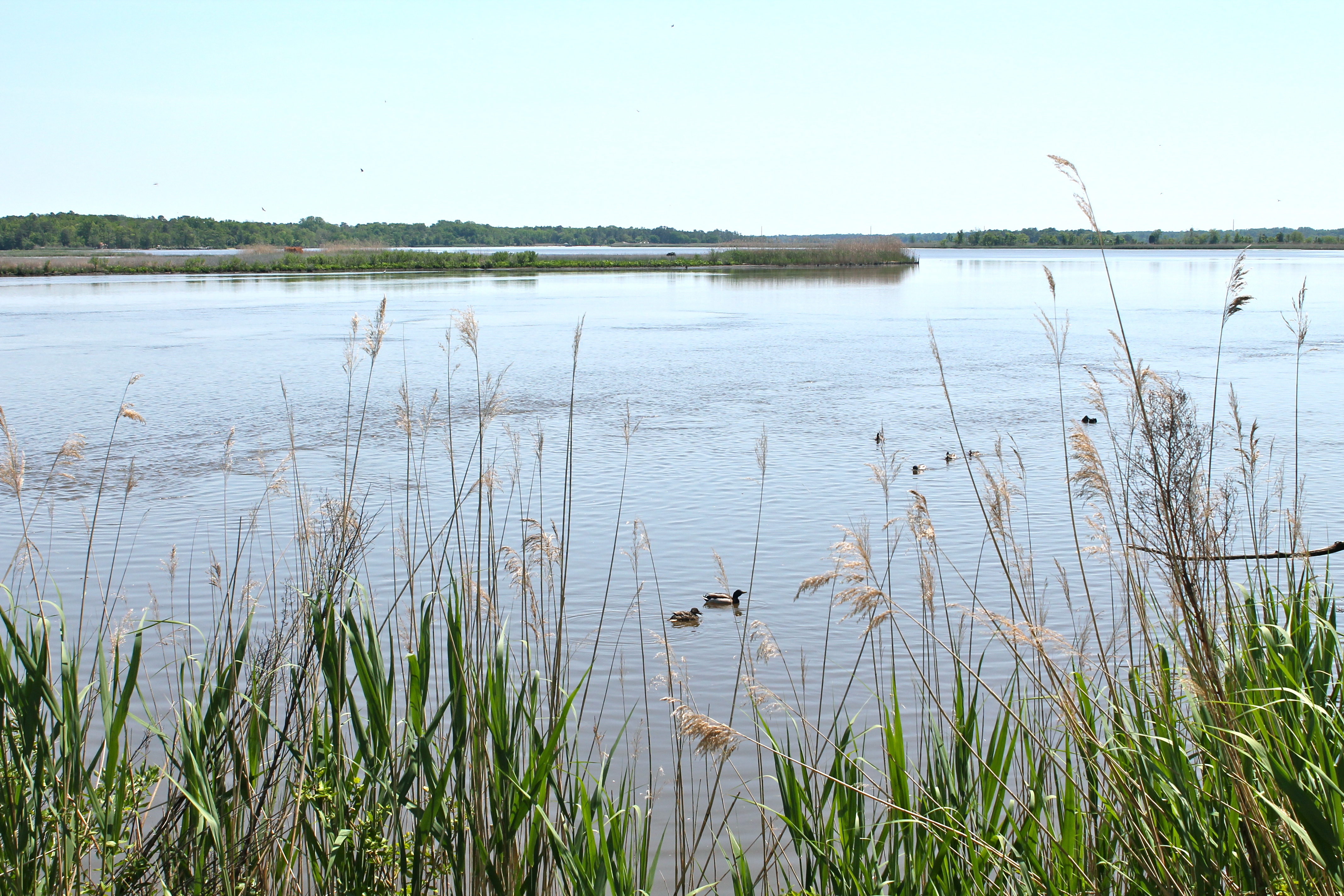
Ducks on the Choptank River
Morning Bike Ride
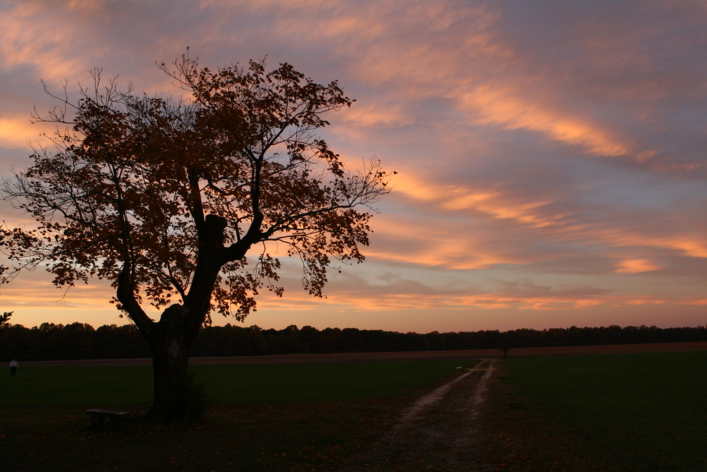
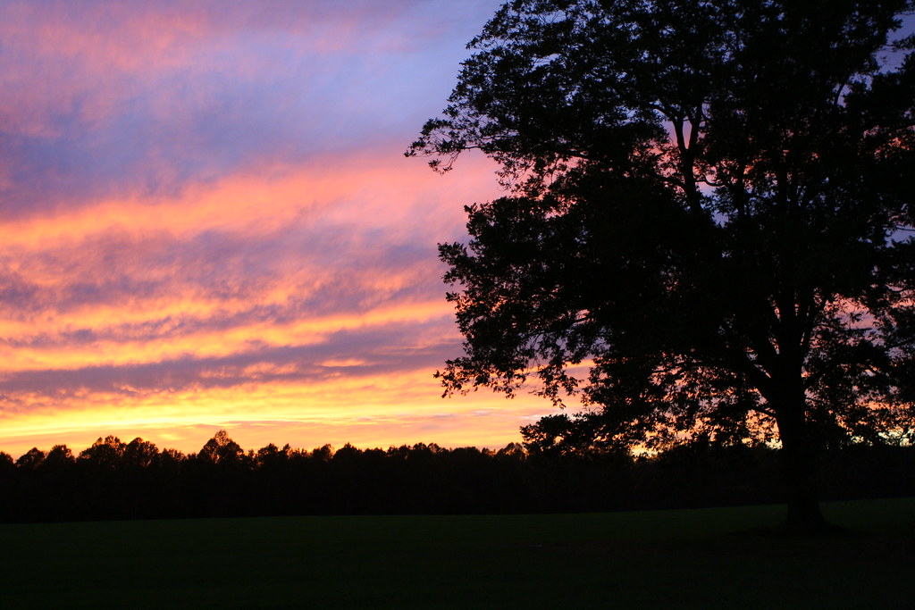
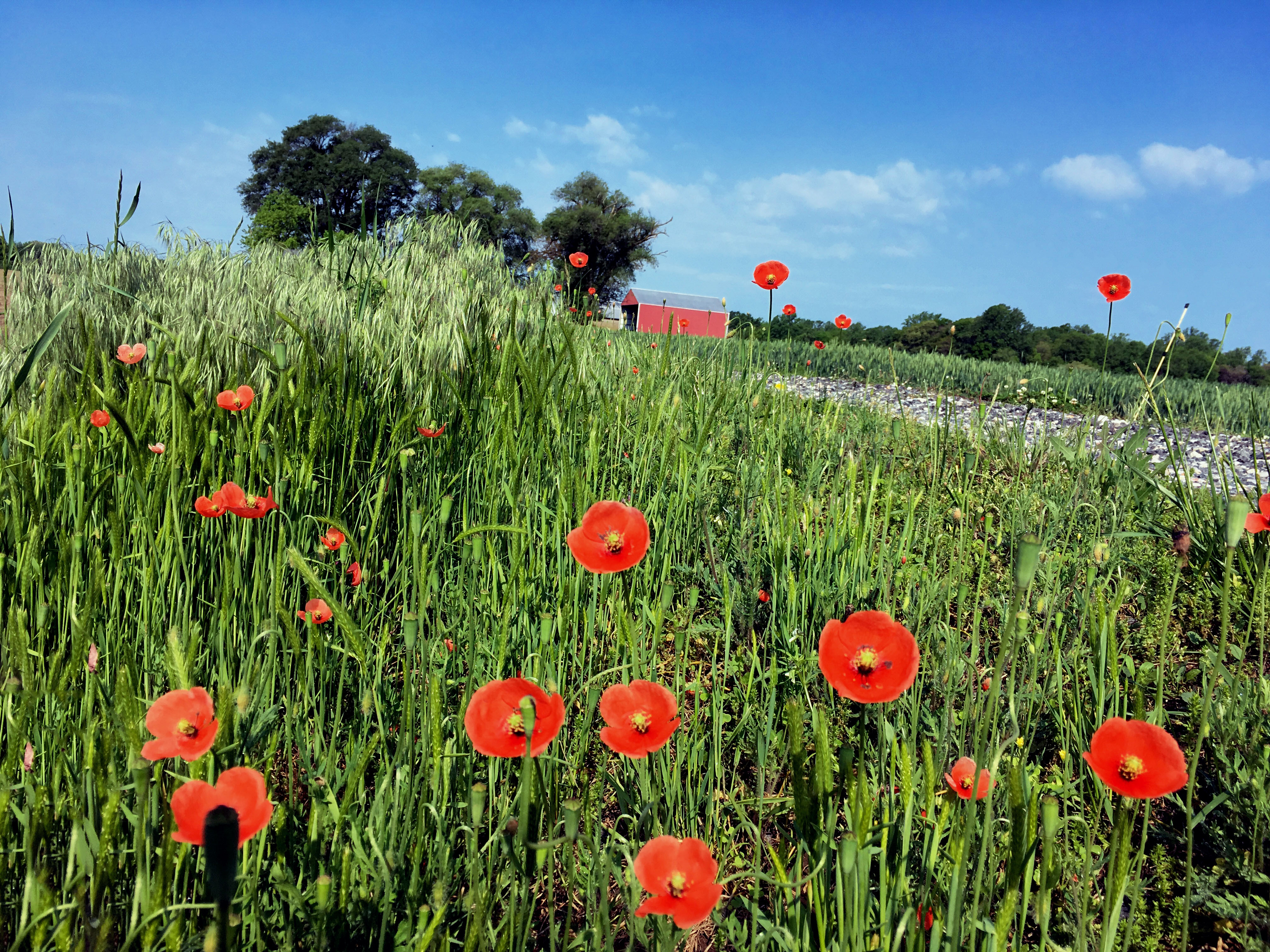
Twilight at the Farm
Morning Bike Ride

Hindwing with Ray
Flying South 313/365
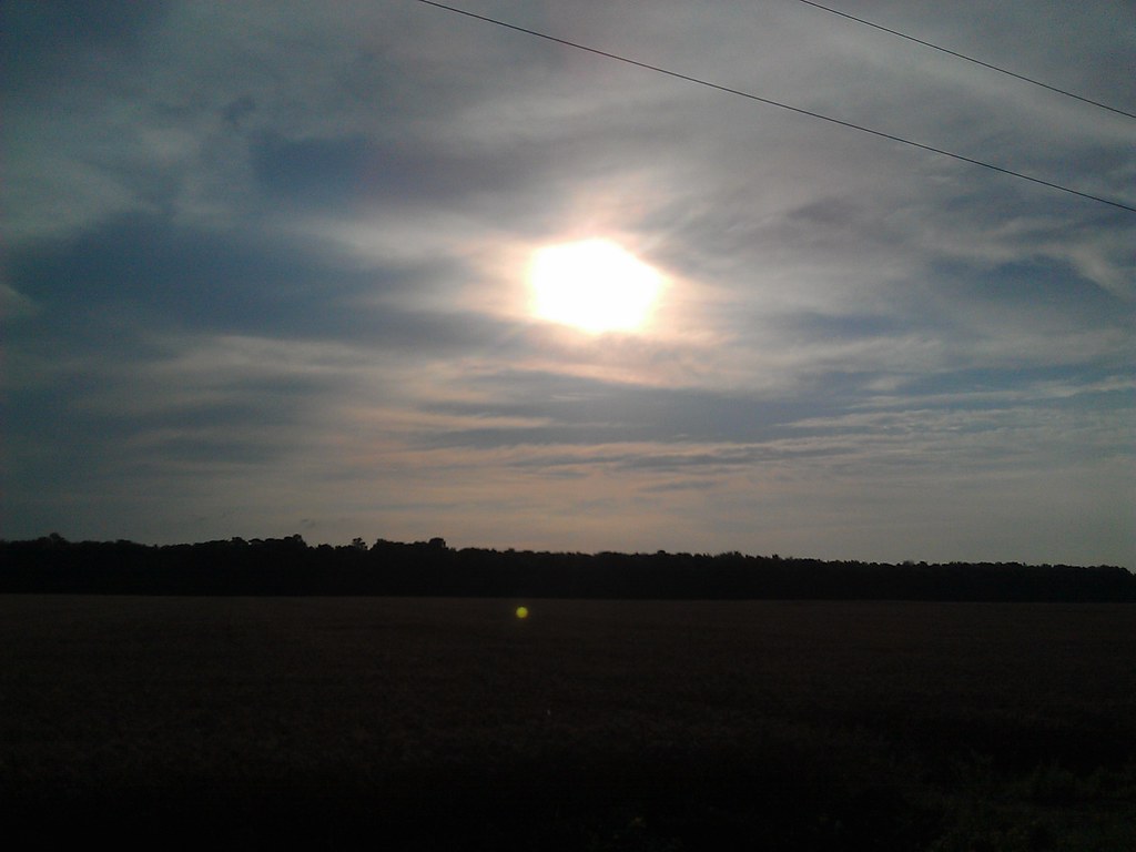
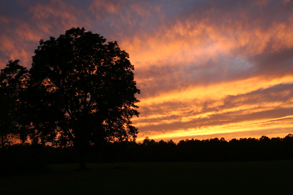
Twilight at the Farm
Twilight at the Farm
Marshy Hope
Levenger house, Preston, MD, important stop on the Underground Railroad
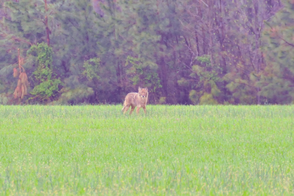
Coyote!

Farmland in Talbot County, Md.
Landing Neck Road, Trappe

Farmland in Caroline County, Md.
Topographic Map of Hughes Ct, Hurlock, MD, USA
Find elevation by address:

Places near Hughes Ct, Hurlock, MD, USA:
Hurlock
15, Hurlock
Palmer Mill Rd, Hurlock, MD, USA
Cabin Creek Rd, Hurlock, MD, USA
Lucy Fish Ln, Hurlock, MD, USA
Harrison Ferry Road
Petersburg Rd, Hurlock, MD, USA
2, East New Market
East New Market
1, Fork
Mt Holly Rd, East New Market, MD, USA
Maiden Forest Rd, Rhodesdale, MD, USA
86 Line Rd
Woodland Ferry Rd, Seaford, DE, USA
26397 Line Rd
3, Vienna
Rhodesdale Vienna Rd, Vienna, MD, USA
25607 Brookside Dr
4602 W Stein Hwy
Butler Branch Rd, Seaford, DE, USA
Recent Searches:
- Elevation of Vista Blvd, Sparks, NV, USA
- Elevation of 15th Ave SE, St. Petersburg, FL, USA
- Elevation of Beall Road, Beall Rd, Florida, USA
- Elevation of Leguwa, Nepal
- Elevation of County Rd, Enterprise, AL, USA
- Elevation of Kolchuginsky District, Vladimir Oblast, Russia
- Elevation of Shustino, Vladimir Oblast, Russia
- Elevation of Lampiasi St, Sarasota, FL, USA
- Elevation of Elwyn Dr, Roanoke Rapids, NC, USA
- Elevation of Congressional Dr, Stevensville, MD, USA