Elevation of E State St, Center Point, IA, USA
Location: United States > Iowa > Linn County > Washington > Center Point >
Longitude: -91.784601
Latitude: 42.1910161
Elevation: 248m / 814feet
Barometric Pressure: 98KPa
Elevation Map:
Satellite Map:
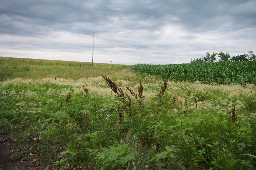
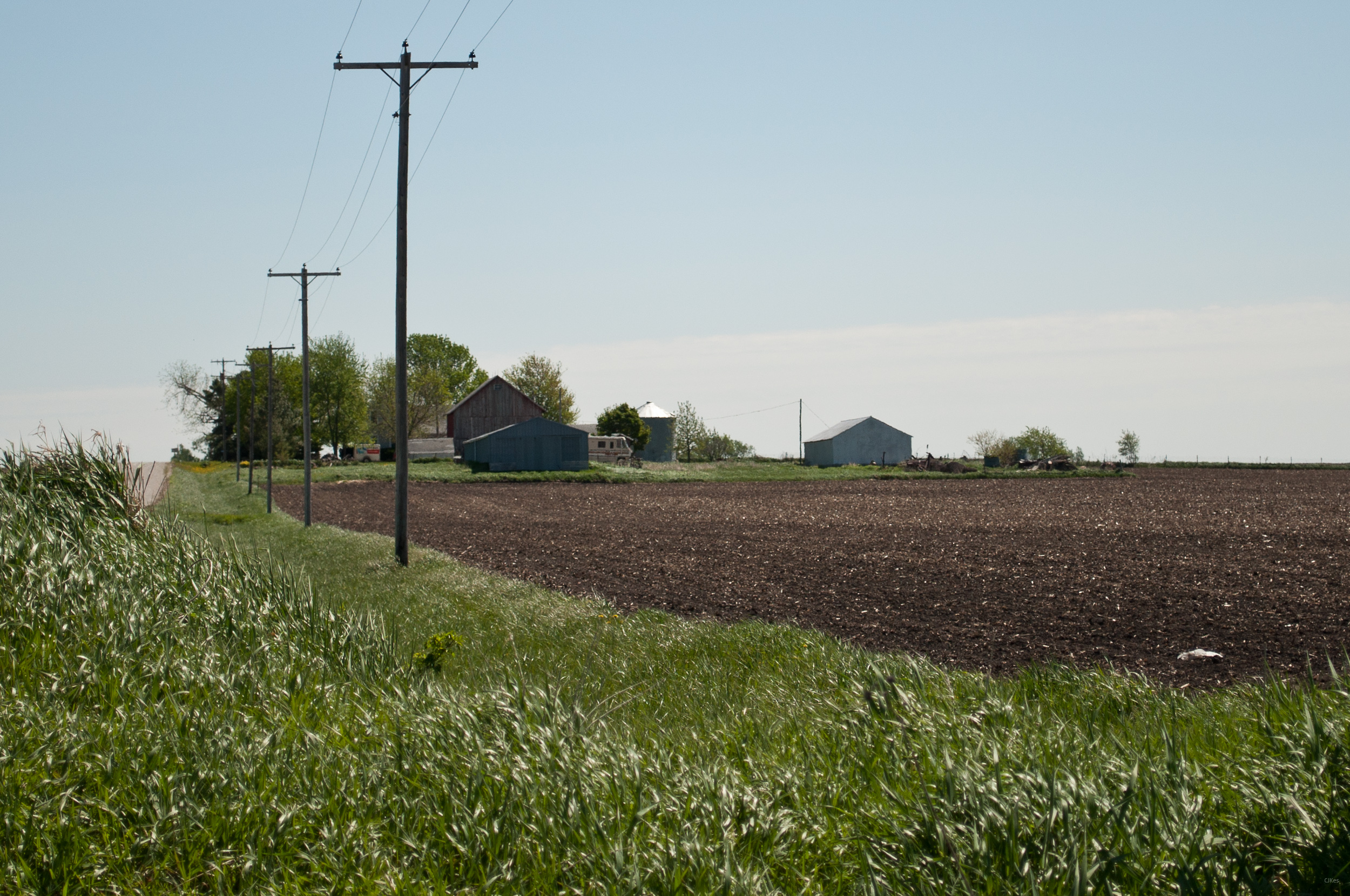
Related Photos:

Stopping to enjoy this view.

I've got this view this mornin'. Bonus points if you can name the couple in this photo!

Across a sea of corn

The meadow (normal exposure)

Fields of soybeans

Along the Cedar River in morning.

Pleasant Creek Sunset

The tall grass

20120324-IMG_027878.JPG

Land that I love

American Robin & Dandelions

Below the Weeds

Pride of the Farm

Yellow Flowers

Grasshopper Sparrow
Country living
Grandma & Dale's Farm

untitled20160730-22

Stars over the Cedar River

The meadow (in HDR)

The cloudy lake
Topographic Map of E State St, Center Point, IA, USA
Find elevation by address:

Places near E State St, Center Point, IA, USA:
Center Point
722 Summit St
Grant
4034 Walker Rd
Greene St, Walker, IA, USA
Walker
Walker, IA, USA
3210 Quasqueton Ave
Spring Grove
Main St, Troy Mills, IA, USA
Troy Mills
Cono
Cedar River
Harrison
Jackson
Central City
Co Hwy E16, Central City, IA, USA
Coggon
E Main St, Coggon, IA, USA
Adams
Recent Searches:
- Elevation of Congressional Dr, Stevensville, MD, USA
- Elevation of Bellview Rd, McLean, VA, USA
- Elevation of Stage Island Rd, Chatham, MA, USA
- Elevation of Shibuya Scramble Crossing, 21 Udagawacho, Shibuya City, Tokyo -, Japan
- Elevation of Jadagoniai, Kaunas District Municipality, Lithuania
- Elevation of Pagonija rock, Kranto 7-oji g. 8"N, Kaunas, Lithuania
- Elevation of Co Rd 87, Jamestown, CO, USA
- Elevation of Tenjo, Cundinamarca, Colombia
- Elevation of Côte-des-Neiges, Montreal, QC H4A 3J6, Canada
- Elevation of Bobcat Dr, Helena, MT, USA