Elevation of Walker, IA, USA
Location: United States > Iowa > Linn County > Grant >
Longitude: -91.780729
Latitude: 42.2866572
Elevation: 274m / 899feet
Barometric Pressure: 98KPa
Elevation Map:
Satellite Map:
Related Photos:
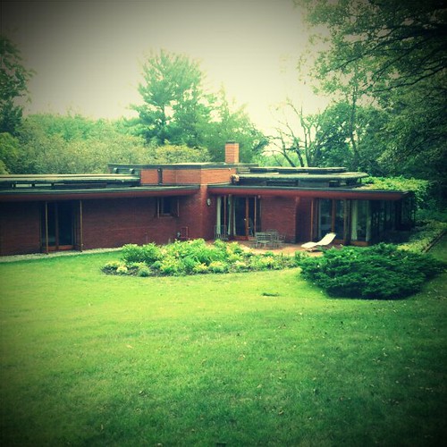
Cedar Rock
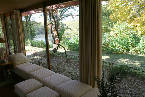
Cedar Rock view from Garden Room

Cedar Rock State Park - view
Land that I love
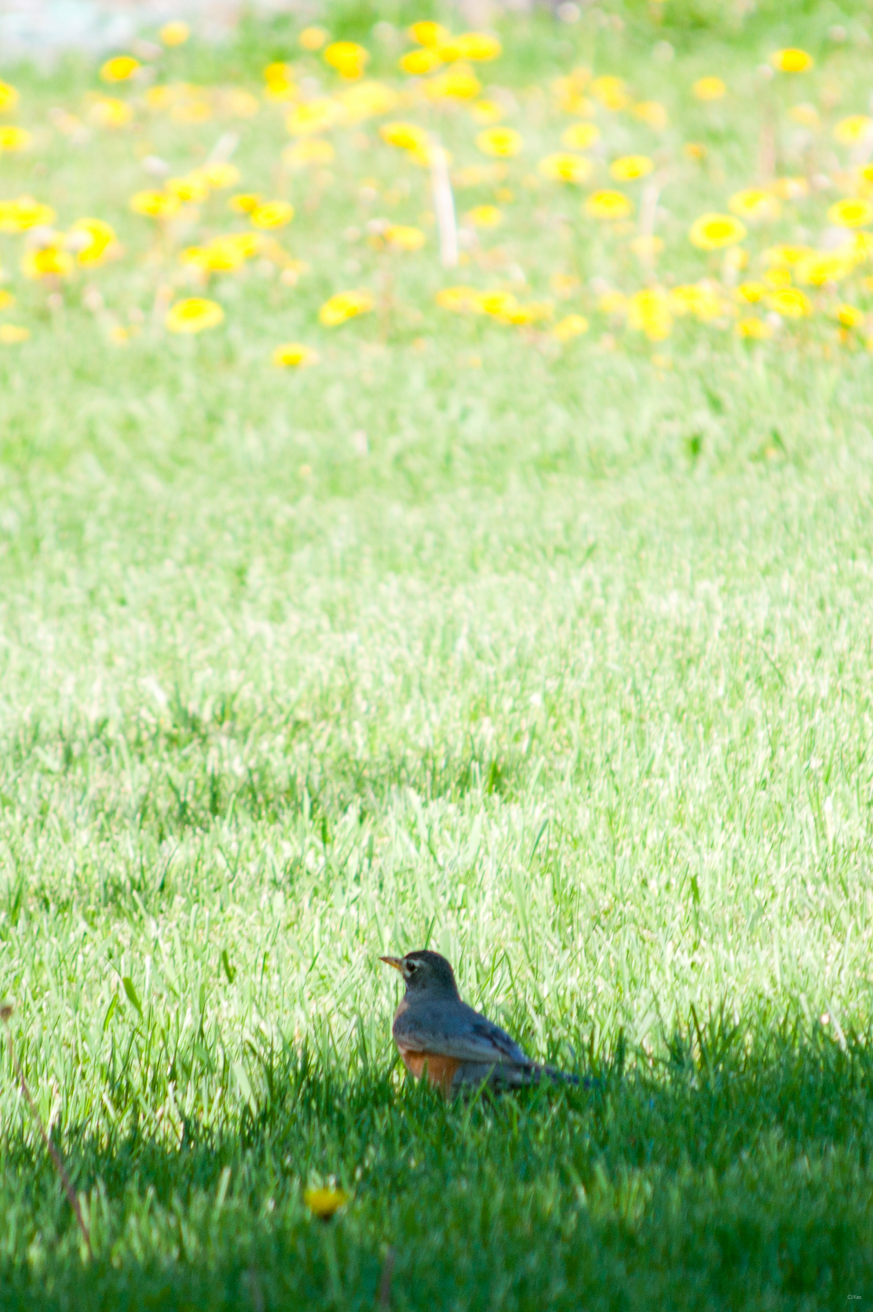
American Robin & Dandelions

Below the Weeds
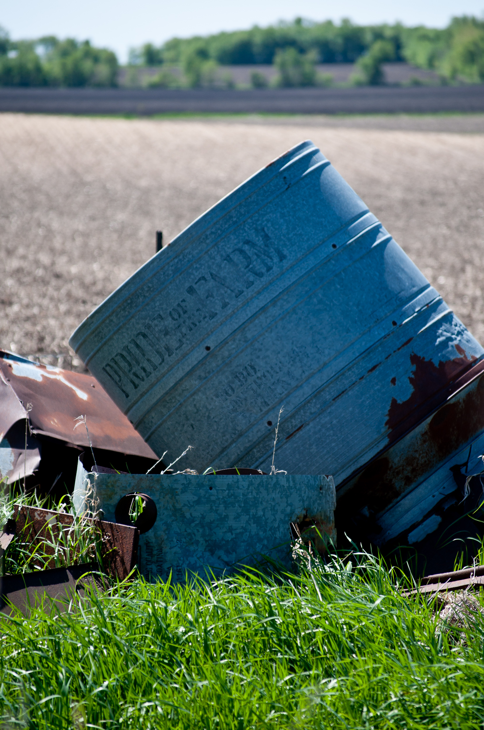
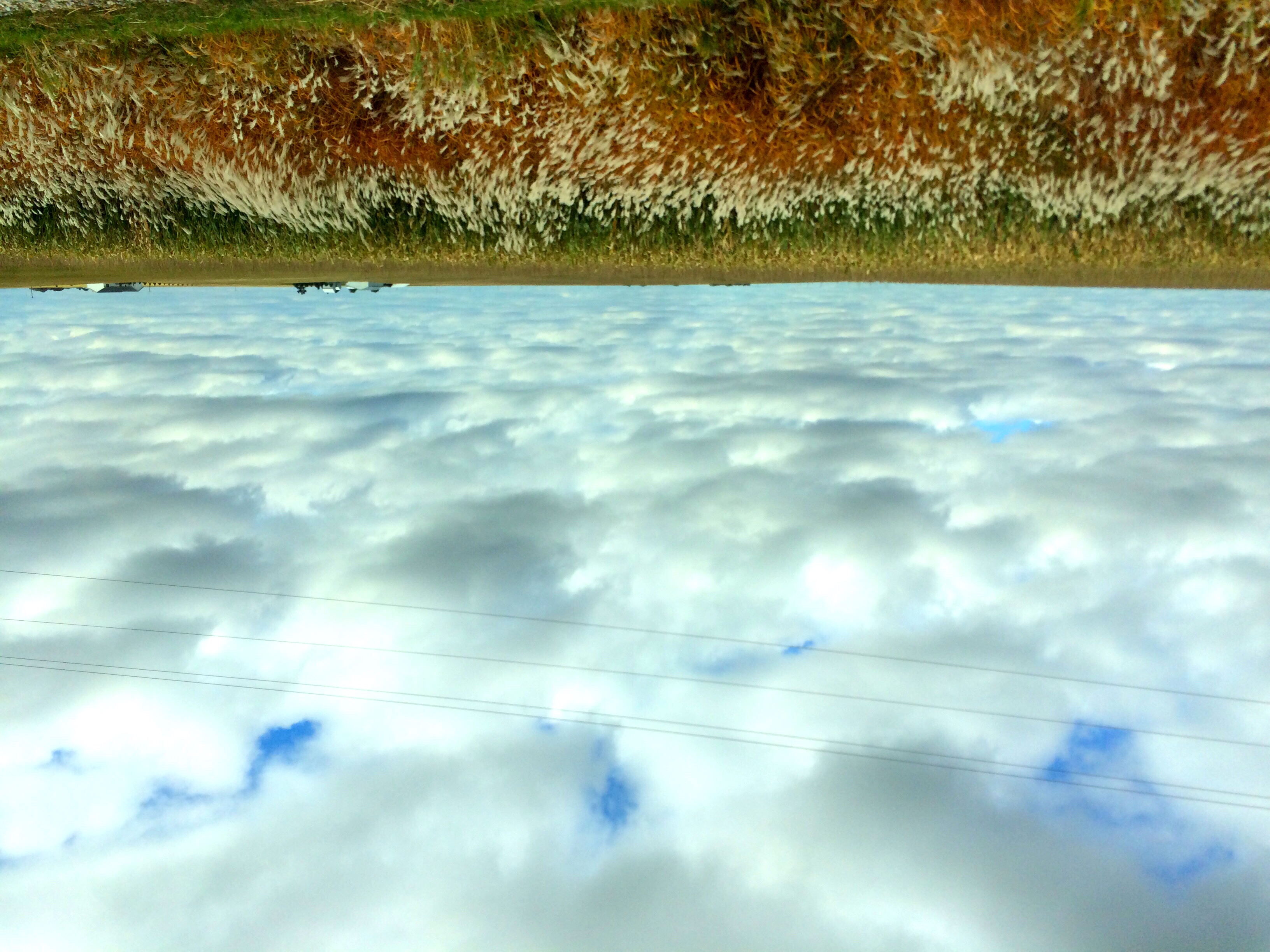
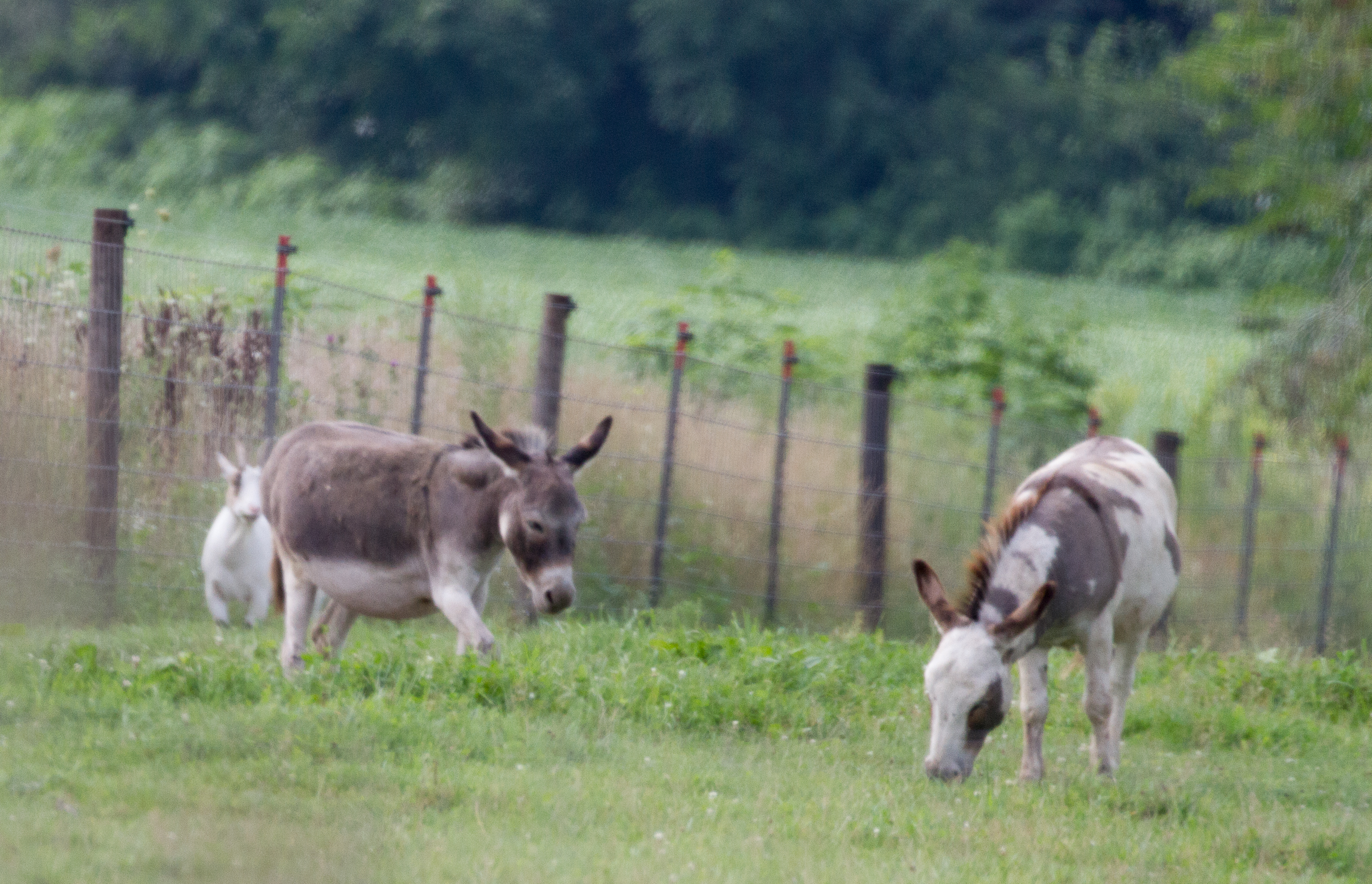
Pride of the Farm
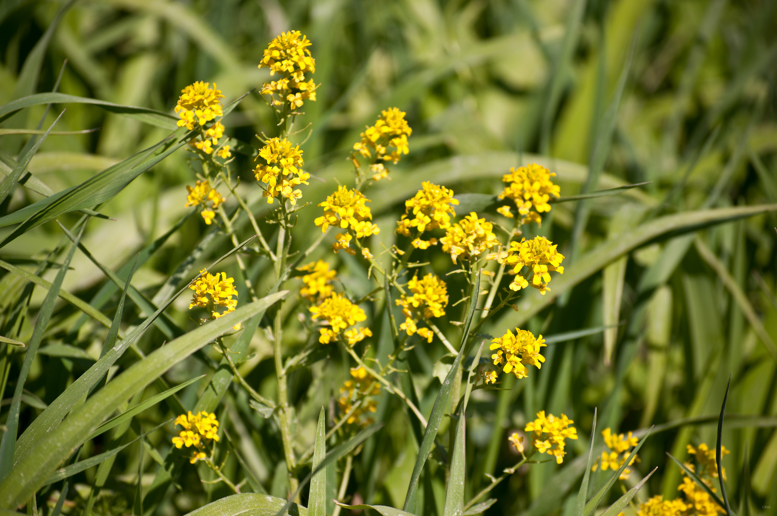
Yellow Flowers
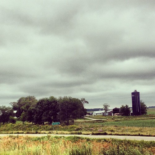
Grandma & Dale's Farm
untitled20160730-22
untitled20160730-21
Who knew Iowa would be so lovely? #triptonowhere #roadtrip #travel #iphoneonly
Topographic Map of Walker, IA, USA
Find elevation by address:

Places in Walker, IA, USA:
Places near Walker, IA, USA:
Greene St, Walker, IA, USA
Walker, IA, USA
4034 Walker Rd
3210 Quasqueton Ave
Grant
Cono
E State St, Center Point, IA, USA
Center Point
722 Summit St
Main St, Troy Mills, IA, USA
Troy Mills
Spring Grove
Cedar River
Winthrop
Harrison
Hamilton St, Winthrop, IA, USA
Independence
Buchanan County
1st St W, Independence, IA, USA
Byron
Recent Searches:
- Elevation of East W.T. Harris Boulevard, E W.T. Harris Blvd, Charlotte, NC, USA
- Elevation of West Sugar Creek, Charlotte, NC, USA
- Elevation of Wayland, NY, USA
- Elevation of Steadfast Ct, Daphne, AL, USA
- Elevation of Lagasgasan, X+CQH, Tiaong, Quezon, Philippines
- Elevation of Rojo Ct, Atascadero, CA, USA
- Elevation of Flagstaff Drive, Flagstaff Dr, North Carolina, USA
- Elevation of Avery Ln, Lakeland, FL, USA
- Elevation of Woolwine, VA, USA
- Elevation of Lumagwas Diversified Farmers Multi-Purpose Cooperative, Lumagwas, Adtuyon, RV32+MH7, Pangantucan, Bukidnon, Philippines