Elevation of Jackson, IA, USA
Location: United States > Iowa > Linn County >
Longitude: -91.540232
Latitude: 42.2456637
Elevation: 294m / 965feet
Barometric Pressure: 98KPa
Elevation Map:
Satellite Map:
Related Photos:

American Robin & Dandelions

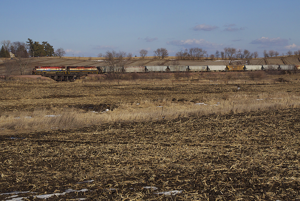
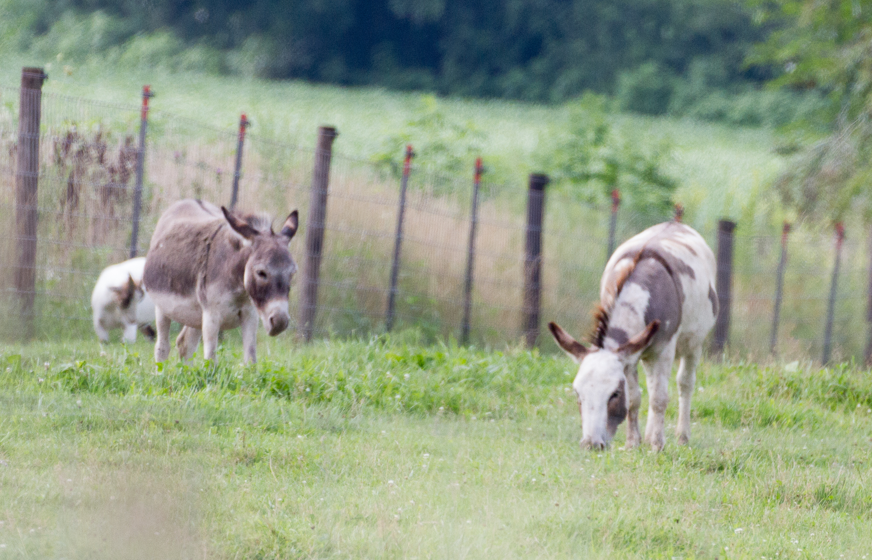
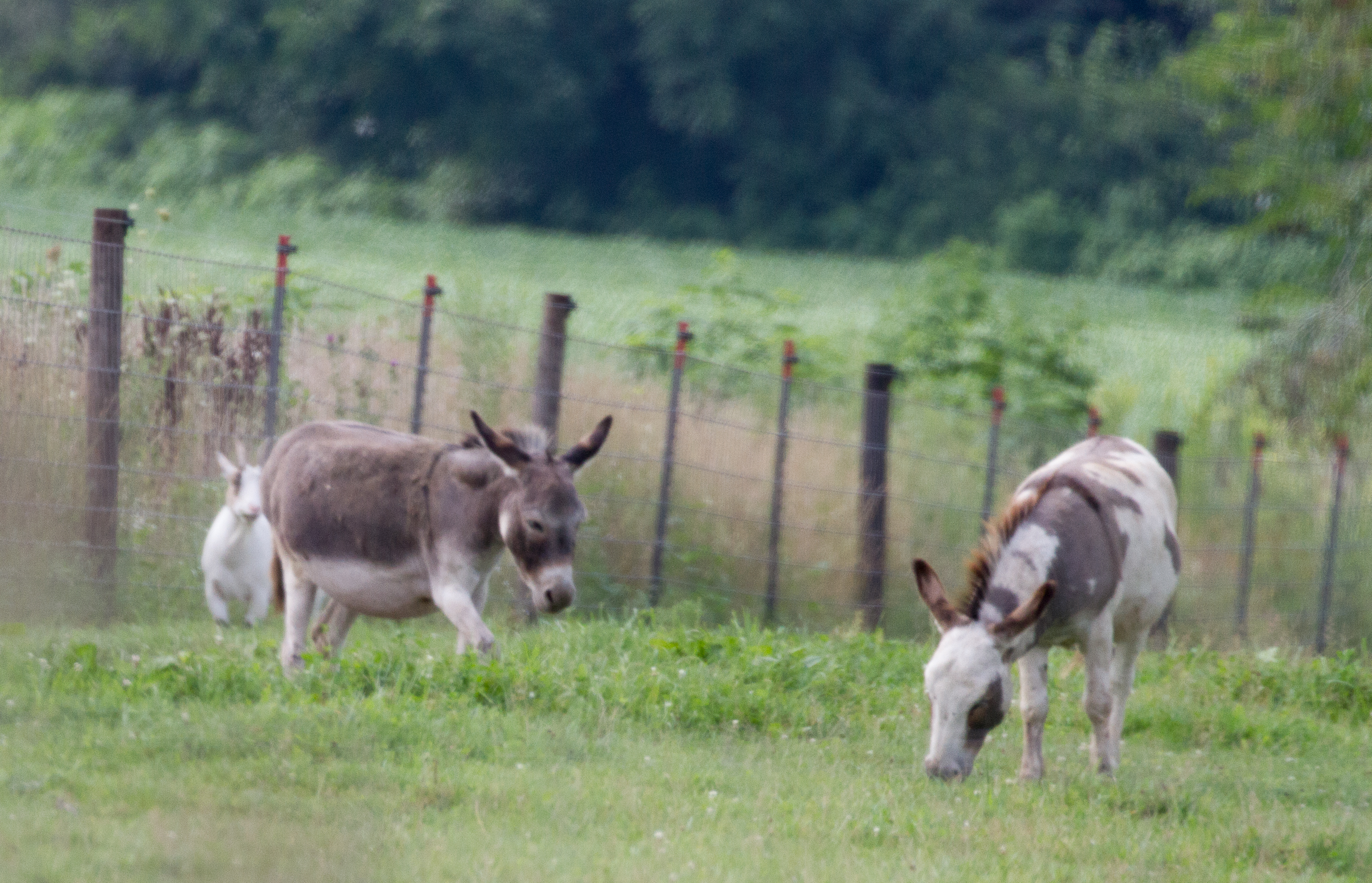
Below the Weeds
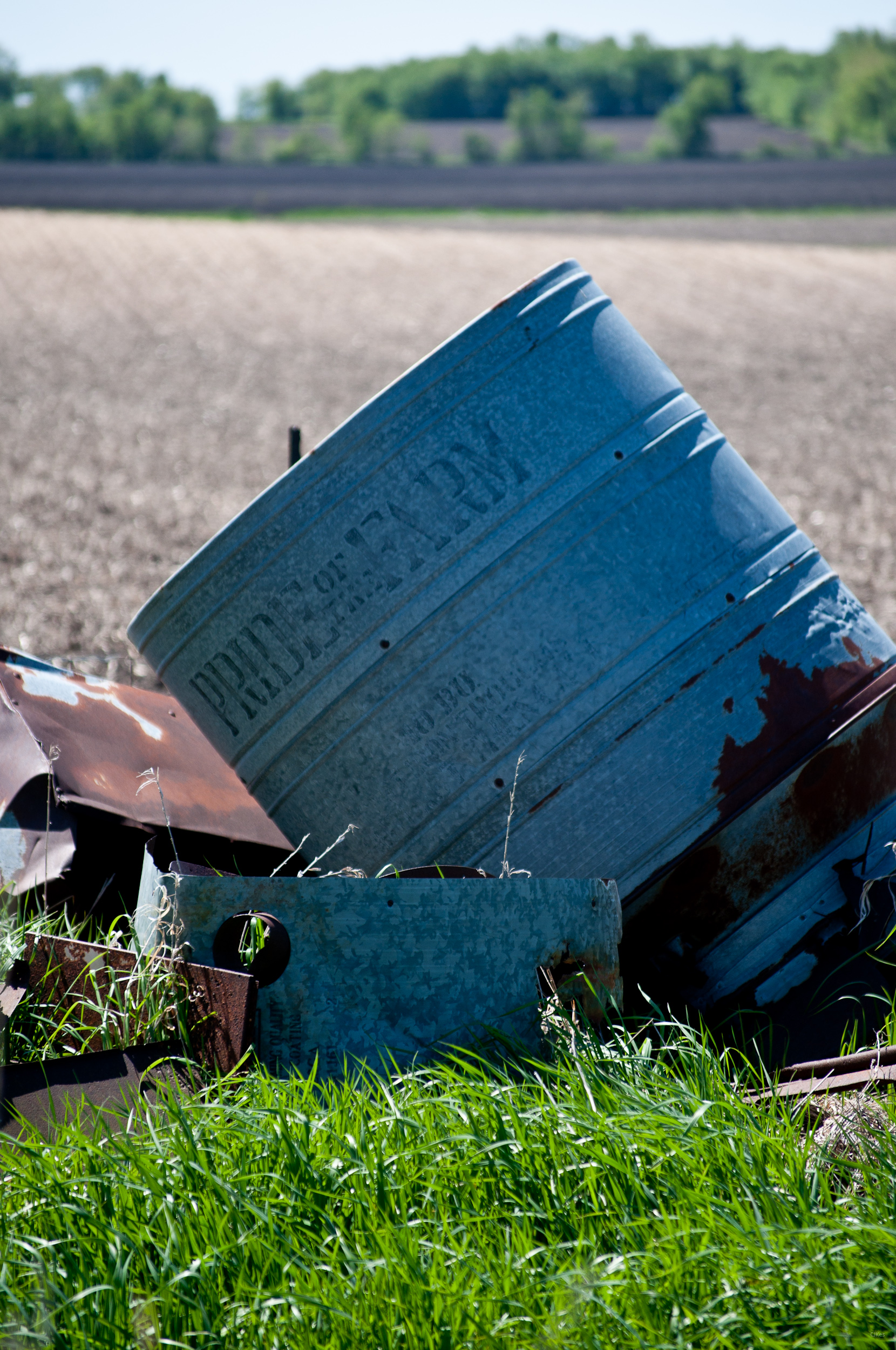
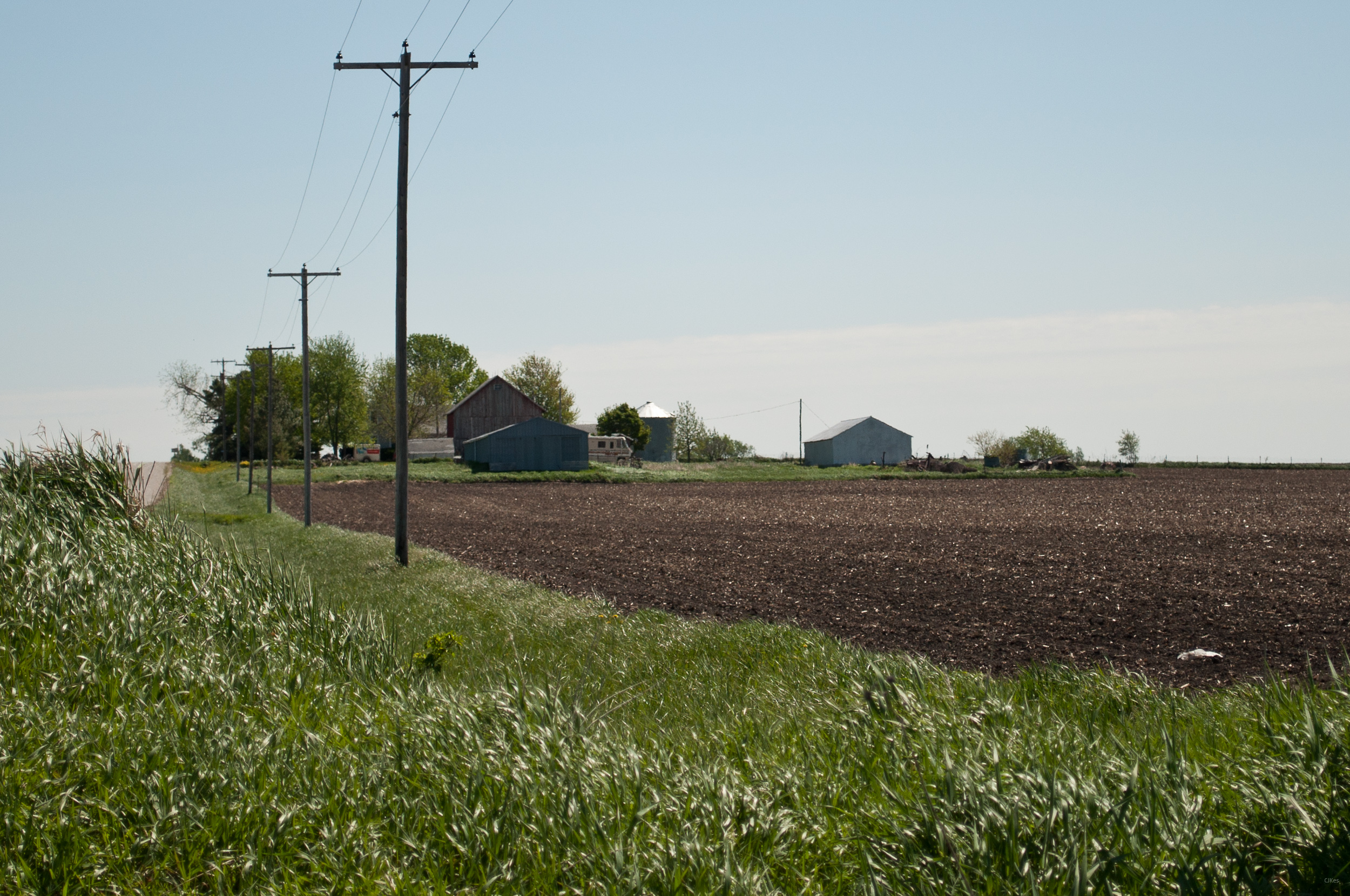
Pride of the Farm
bcol s 46243
Upper Paris Bridge- Linn County IA (3)
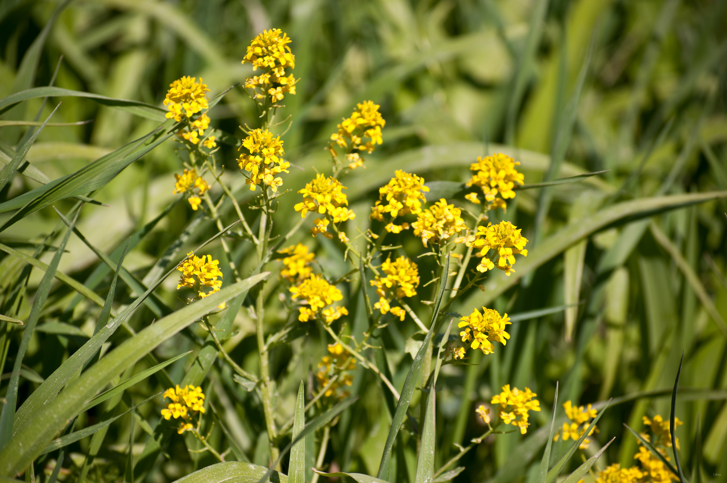
Yellow Flowers
Grandma & Dale's Farm
untitled20160730-22

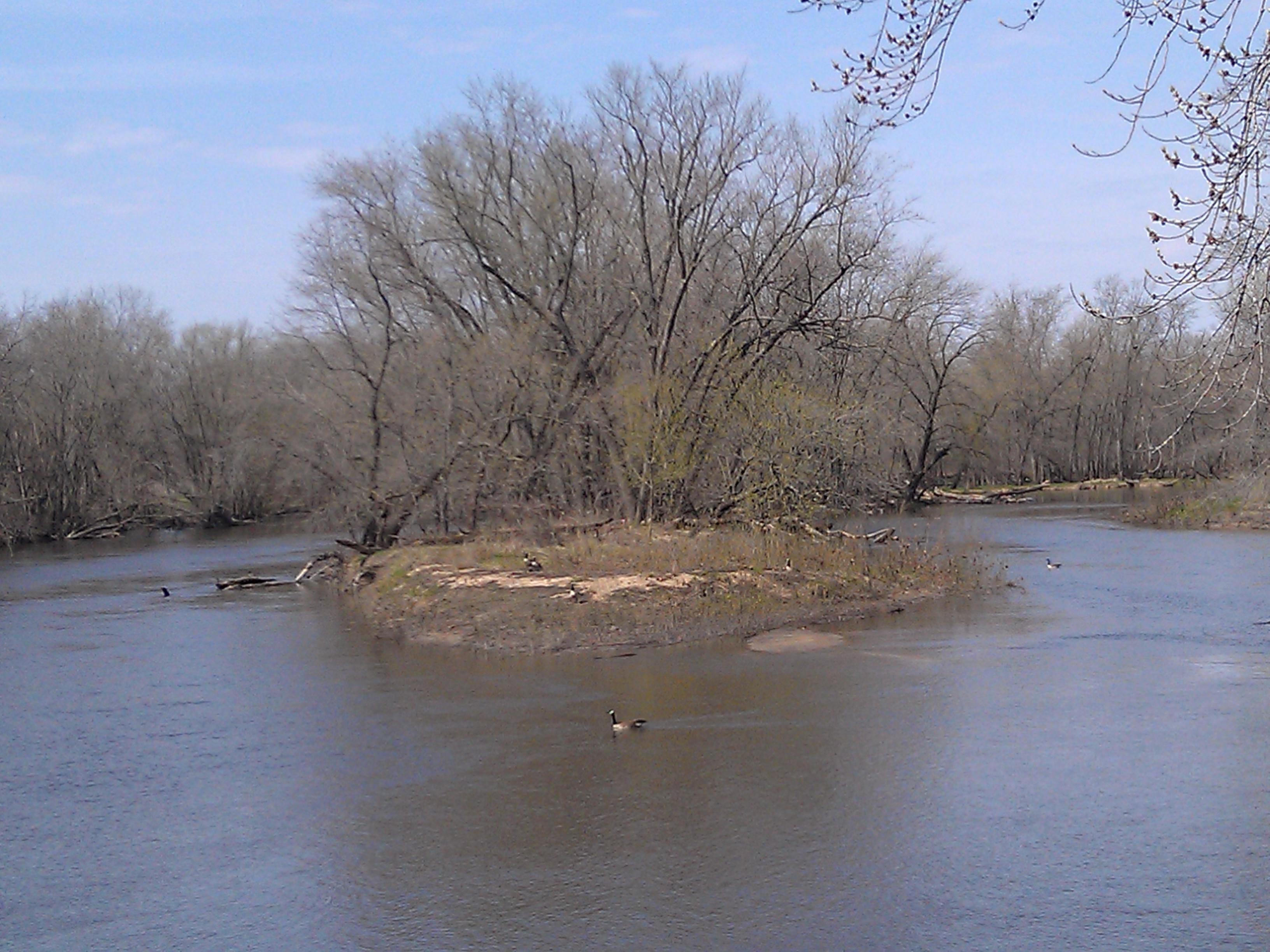
Geese enjoy the foggy morning
untitled20160730-21
Topographic Map of Jackson, IA, USA
Find elevation by address:

Places in Jackson, IA, USA:
Places near Jackson, IA, USA:
E Main St, Coggon, IA, USA
Coggon
Central City
Co Hwy E16, Central City, IA, USA
Adams
Boulder
Spring Grove
S Locust Ave, Prairieburg, IA, USA
Prairieburg
Ryan
North St, Ryan, IA, USA
Troy Mills
Main St, Troy Mills, IA, USA
th St, Manchester, IA, USA
4034 Walker Rd
Walker, IA, USA
Grant
Delaware County
Greene St, Walker, IA, USA
Walker
Recent Searches:
- Elevation of Tenjo, Cundinamarca, Colombia
- Elevation of Côte-des-Neiges, Montreal, QC H4A 3J6, Canada
- Elevation of Bobcat Dr, Helena, MT, USA
- Elevation of Zu den Ihlowbergen, Althüttendorf, Germany
- Elevation of Badaber, Peshawar, Khyber Pakhtunkhwa, Pakistan
- Elevation of SE Heron Loop, Lincoln City, OR, USA
- Elevation of Slanický ostrov, 01 Námestovo, Slovakia
- Elevation of Spaceport America, Co Rd A, Truth or Consequences, NM, USA
- Elevation of Warwick, RI, USA
- Elevation of Fern Rd, Whitmore, CA, USA