Elevation of Troy Mills, IA, USA
Location: United States > Iowa > Linn County > Spring Grove >
Longitude: -91.681975
Latitude: 42.2902361
Elevation: 263m / 863feet
Barometric Pressure: 98KPa
Elevation Map:
Satellite Map:
Related Photos:

Cedar Rock

Cedar Rock view from Garden Room

Cedar Rock State Park - view

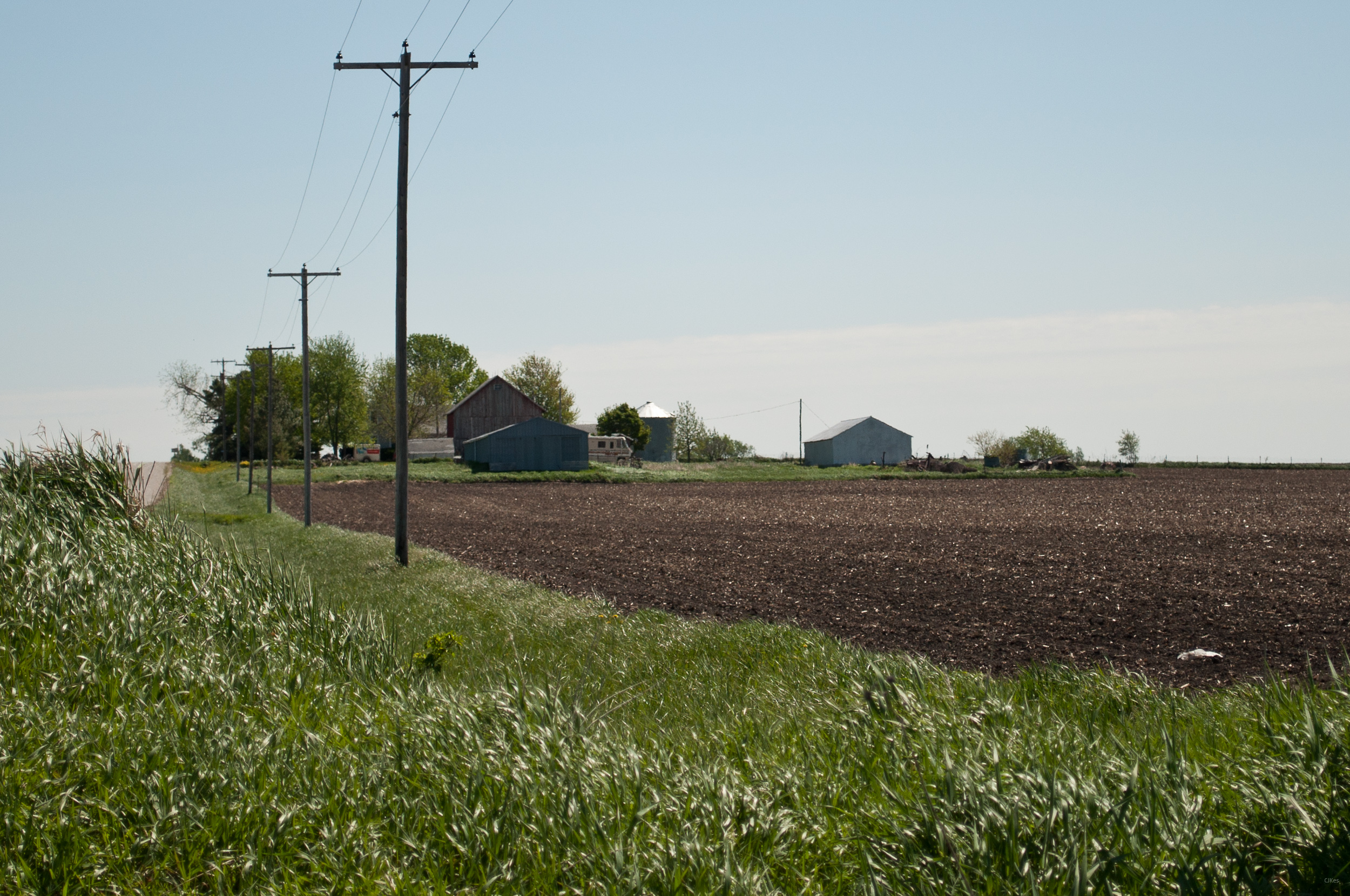
Land that I love

American Robin & Dandelions

Below the Weeds

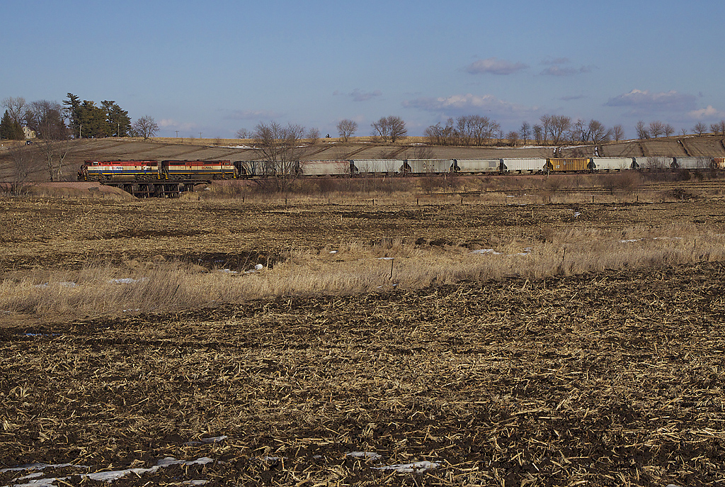
Pride of the Farm
bcol s 46243

Upper Paris Bridge- Linn County IA (3)
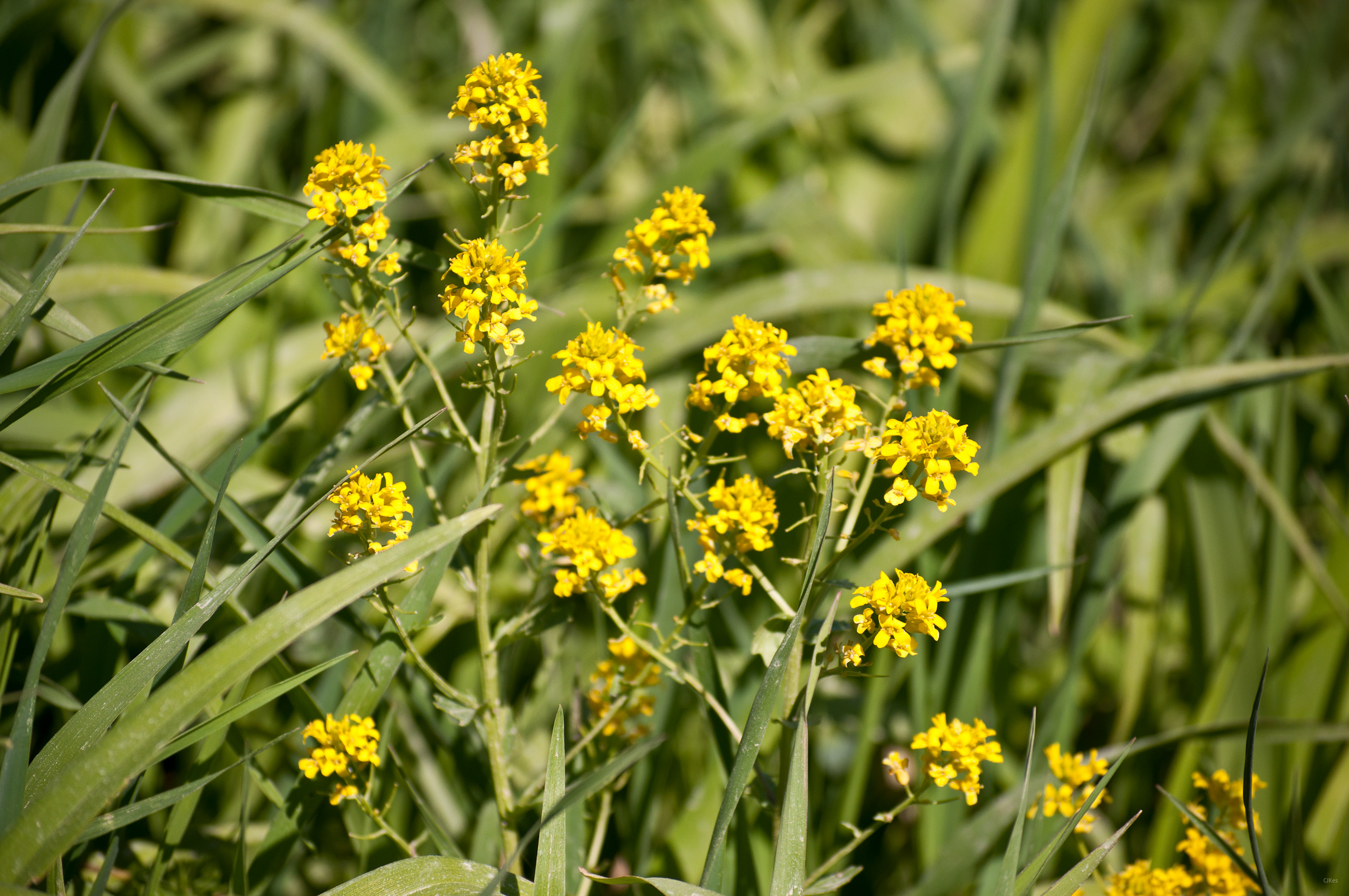
Yellow Flowers
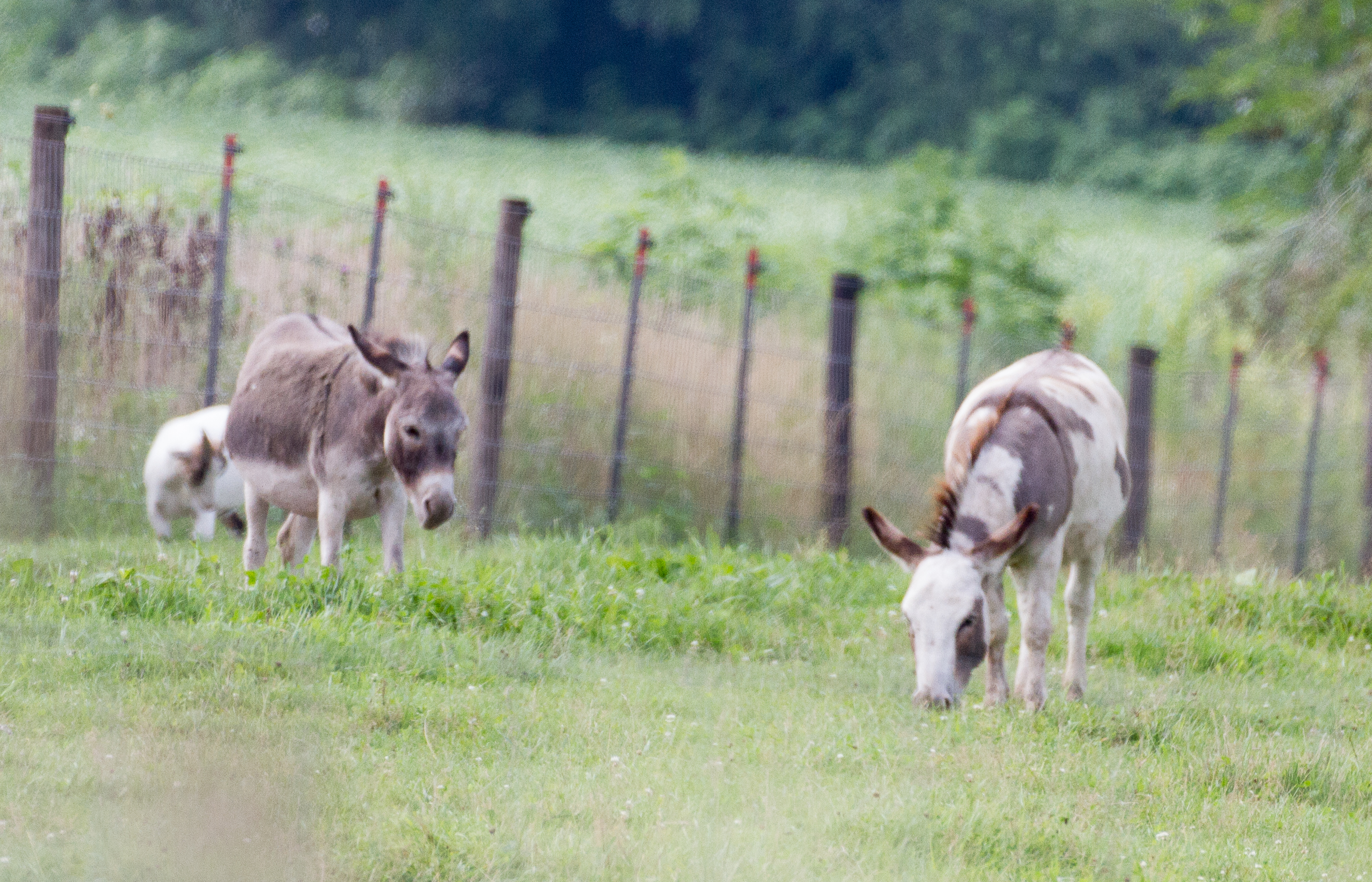
Grandma & Dale's Farm

2016_BestCanadaUSA-986
untitled20160730-22
untitled20160730-21

Geese enjoy the foggy morning
Topographic Map of Troy Mills, IA, USA
Find elevation by address:

Places in Troy Mills, IA, USA:
Places near Troy Mills, IA, USA:
Main St, Troy Mills, IA, USA
Spring Grove
4034 Walker Rd
Walker, IA, USA
3210 Quasqueton Ave
Greene St, Walker, IA, USA
Walker
Grant
Cono
E State St, Center Point, IA, USA
Center Point
722 Summit St
Adams
Jackson
Coggon
E Main St, Coggon, IA, USA
Central City
Co Hwy E16, Central City, IA, USA
Winthrop
Hamilton St, Winthrop, IA, USA
Recent Searches:
- Elevation of Congressional Dr, Stevensville, MD, USA
- Elevation of Bellview Rd, McLean, VA, USA
- Elevation of Stage Island Rd, Chatham, MA, USA
- Elevation of Shibuya Scramble Crossing, 21 Udagawacho, Shibuya City, Tokyo -, Japan
- Elevation of Jadagoniai, Kaunas District Municipality, Lithuania
- Elevation of Pagonija rock, Kranto 7-oji g. 8"N, Kaunas, Lithuania
- Elevation of Co Rd 87, Jamestown, CO, USA
- Elevation of Tenjo, Cundinamarca, Colombia
- Elevation of Côte-des-Neiges, Montreal, QC H4A 3J6, Canada
- Elevation of Bobcat Dr, Helena, MT, USA