Elevation of Spring Grove, IA, USA
Location: United States > Iowa > Linn County >
Longitude: -91.656637
Latitude: 42.244047
Elevation: 289m / 948feet
Barometric Pressure: 98KPa
Elevation Map:
Satellite Map:
Related Photos:

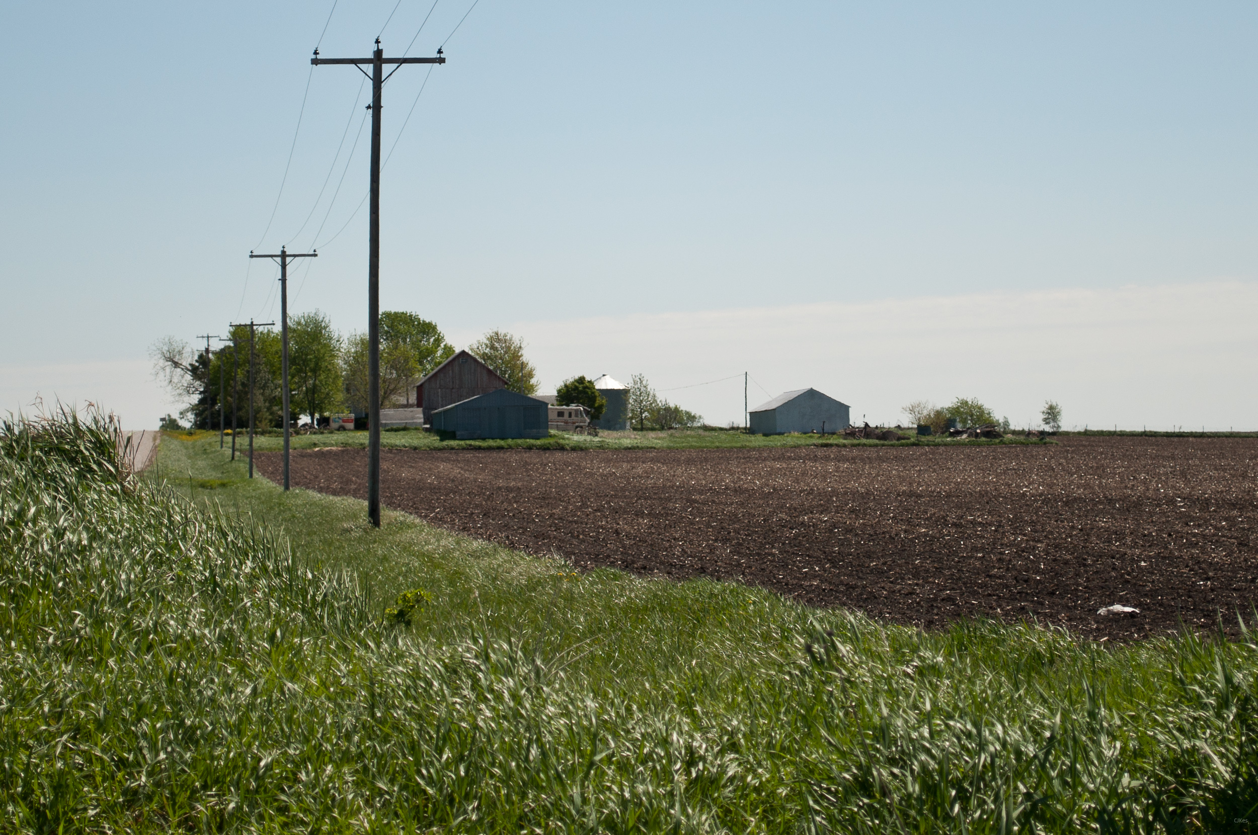
Land that I love

American Robin & Dandelions

Below the Weeds

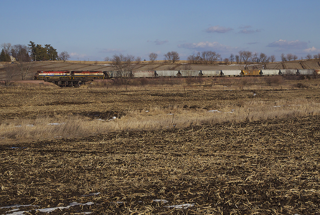
Pride of the Farm
bcol s 46243
Upper Paris Bridge- Linn County IA (3)
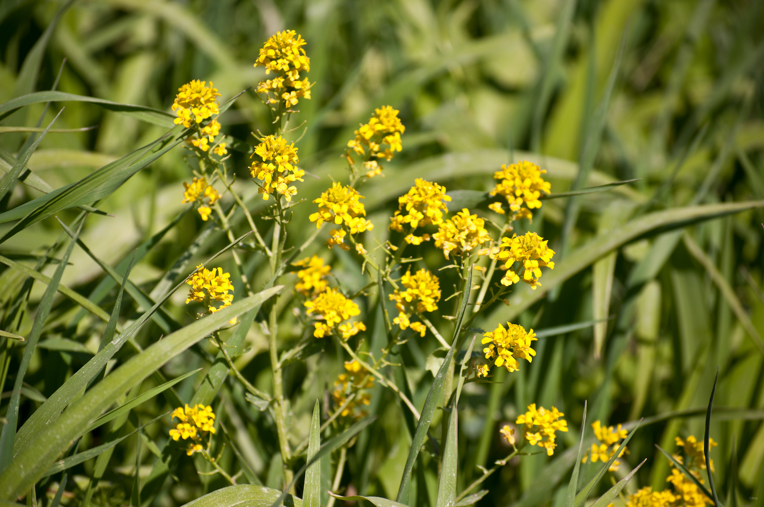
Yellow Flowers
Grandma & Dale's Farm
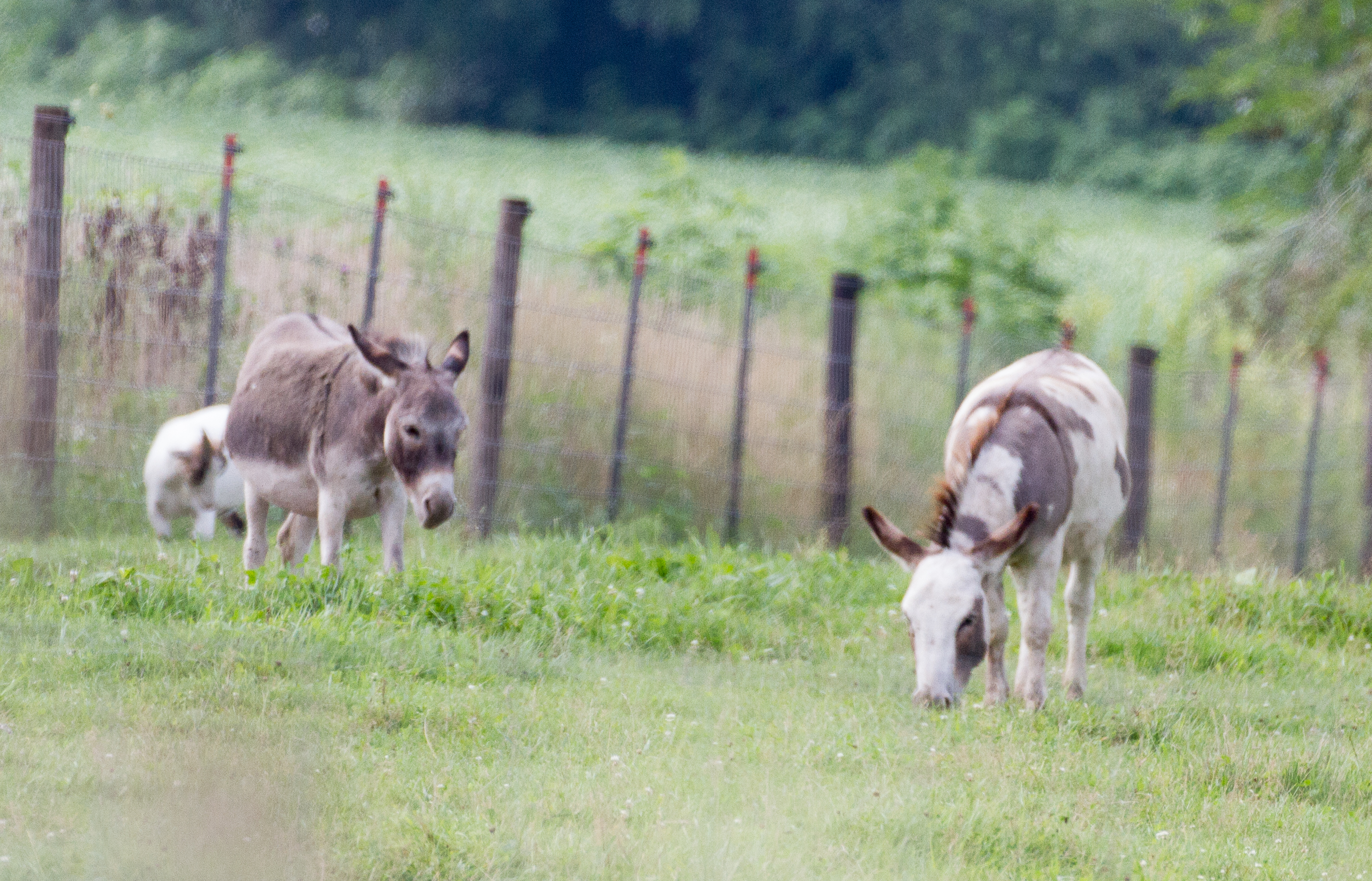
untitled20160730-22
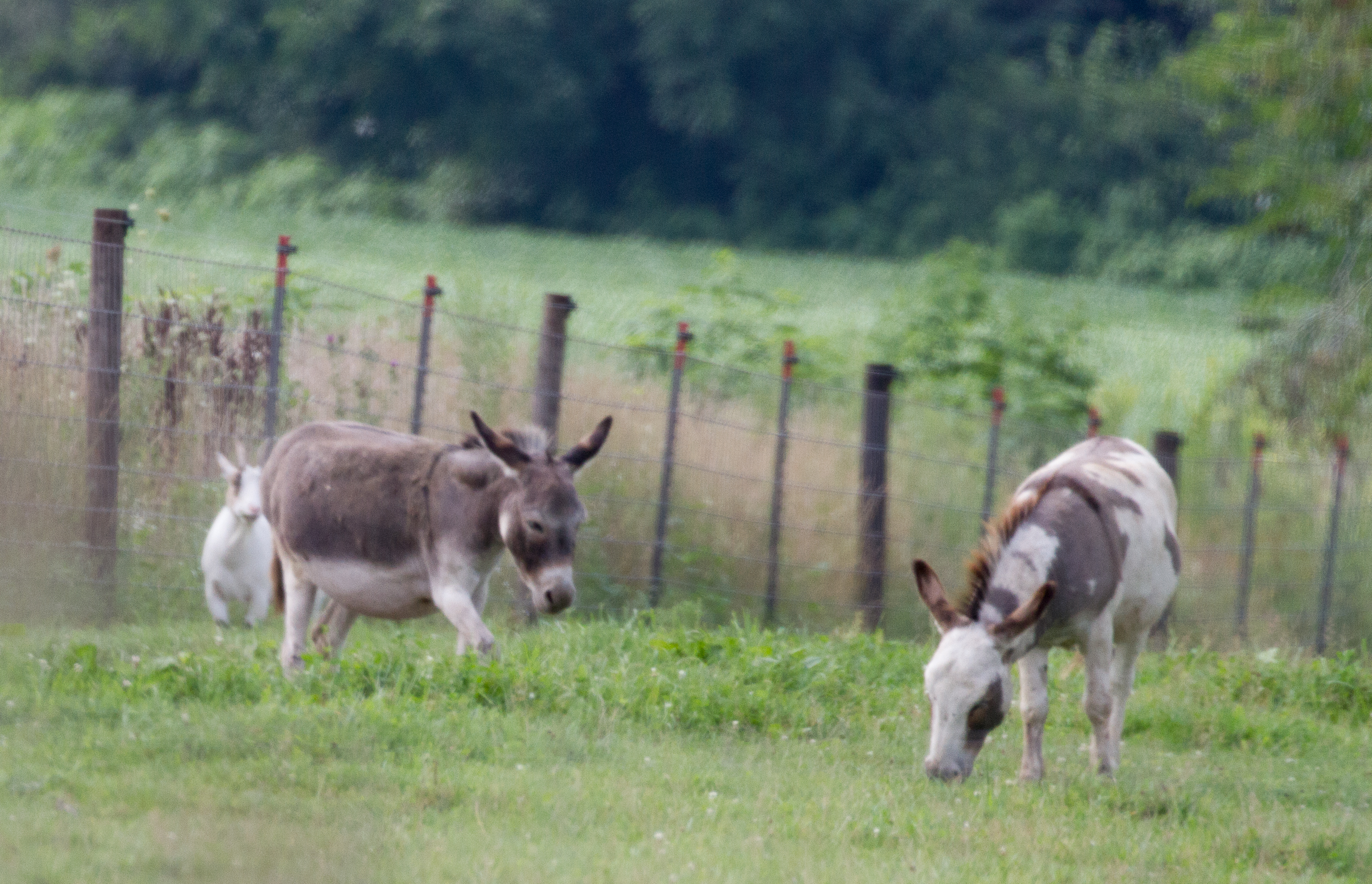
untitled20160730-21

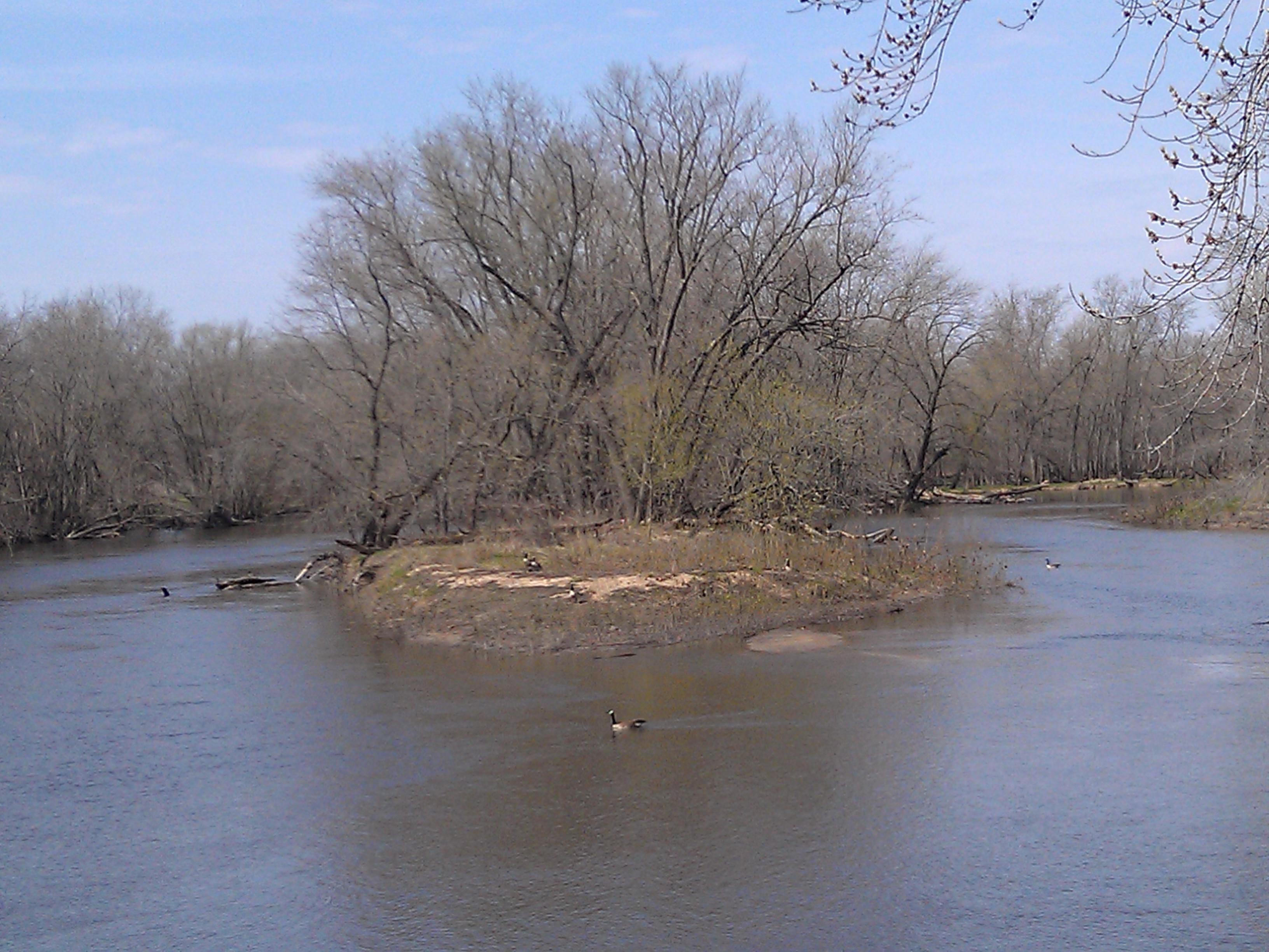
Geese enjoy the foggy morning
Topographic Map of Spring Grove, IA, USA
Find elevation by address:

Places in Spring Grove, IA, USA:
Places near Spring Grove, IA, USA:
Main St, Troy Mills, IA, USA
Troy Mills
4034 Walker Rd
Jackson
Grant
Walker, IA, USA
Greene St, Walker, IA, USA
Walker
Coggon
E Main St, Coggon, IA, USA
E State St, Center Point, IA, USA
Central City
Co Hwy E16, Central City, IA, USA
Center Point
722 Summit St
Adams
3210 Quasqueton Ave
Cono
North St, Ryan, IA, USA
Ryan
Recent Searches:
- Elevation of W Granada St, Tampa, FL, USA
- Elevation of Pykes Down, Ivybridge PL21 0BY, UK
- Elevation of Jalan Senandin, Lutong, Miri, Sarawak, Malaysia
- Elevation of Bilohirs'k
- Elevation of 30 Oak Lawn Dr, Barkhamsted, CT, USA
- Elevation of Luther Road, Luther Rd, Auburn, CA, USA
- Elevation of Unnamed Road, Respublika Severnaya Osetiya — Alaniya, Russia
- Elevation of Verkhny Fiagdon, North Ossetia–Alania Republic, Russia
- Elevation of F. Viola Hiway, San Rafael, Bulacan, Philippines
- Elevation of Herbage Dr, Gulfport, MS, USA