Elevation of Washington, IA, USA
Location: United States > Iowa > Linn County >
Longitude: -91.763618
Latitude: 42.1733911
Elevation: 258m / 846feet
Barometric Pressure: 98KPa
Elevation Map:
Satellite Map:
Related Photos:

0515 starting path
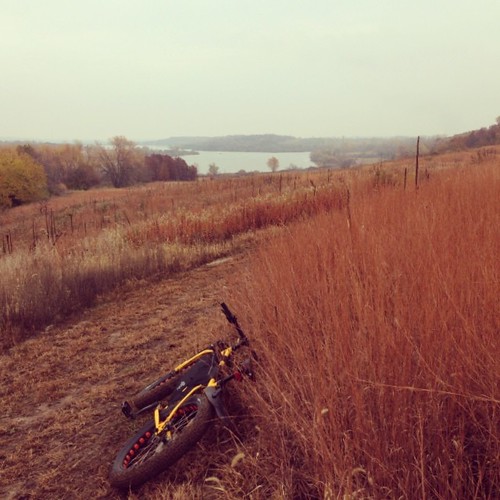
Stopping to enjoy this view.
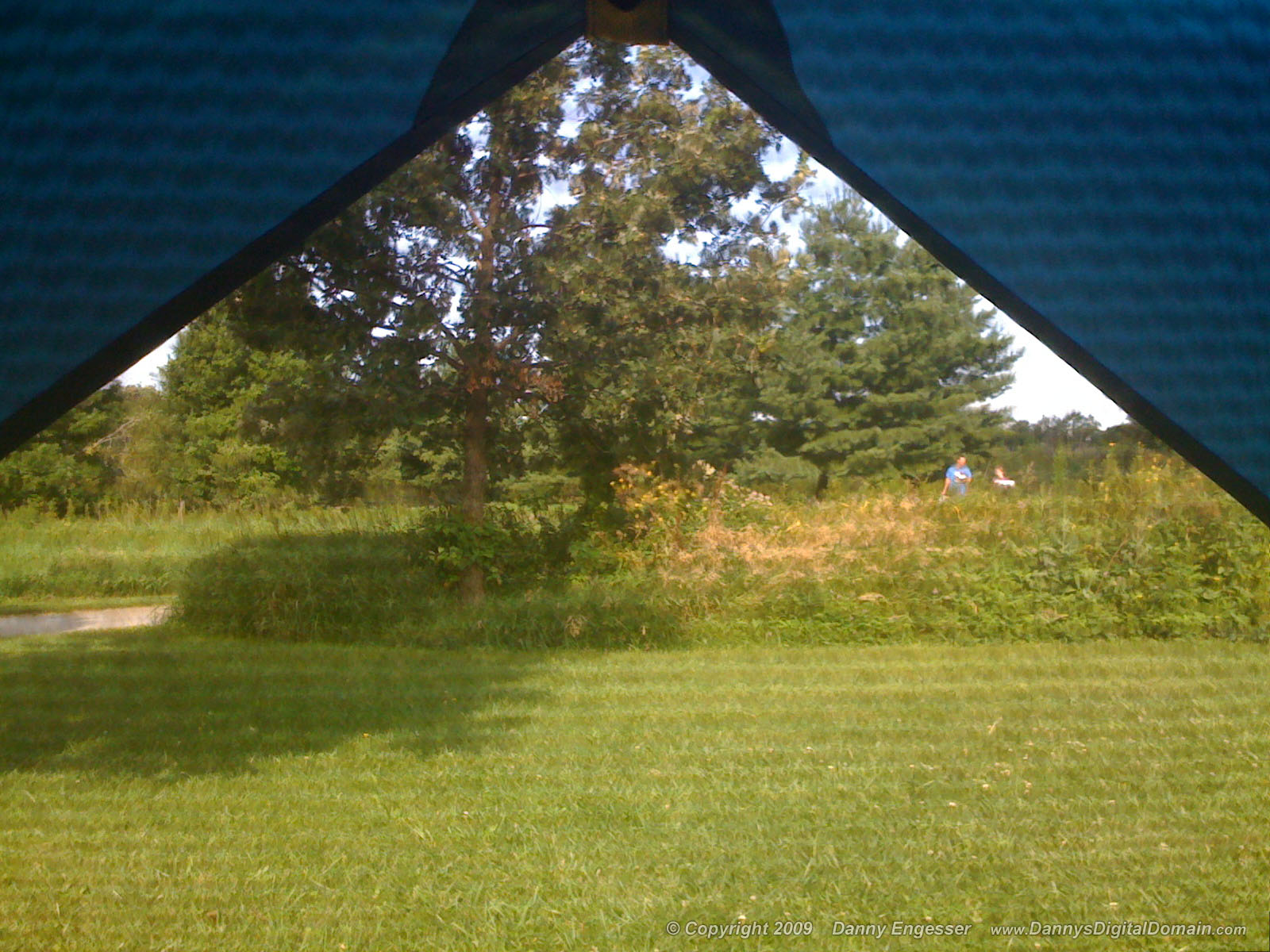
I've got this view this mornin'. Bonus points if you can name the couple in this photo!
Land that I love

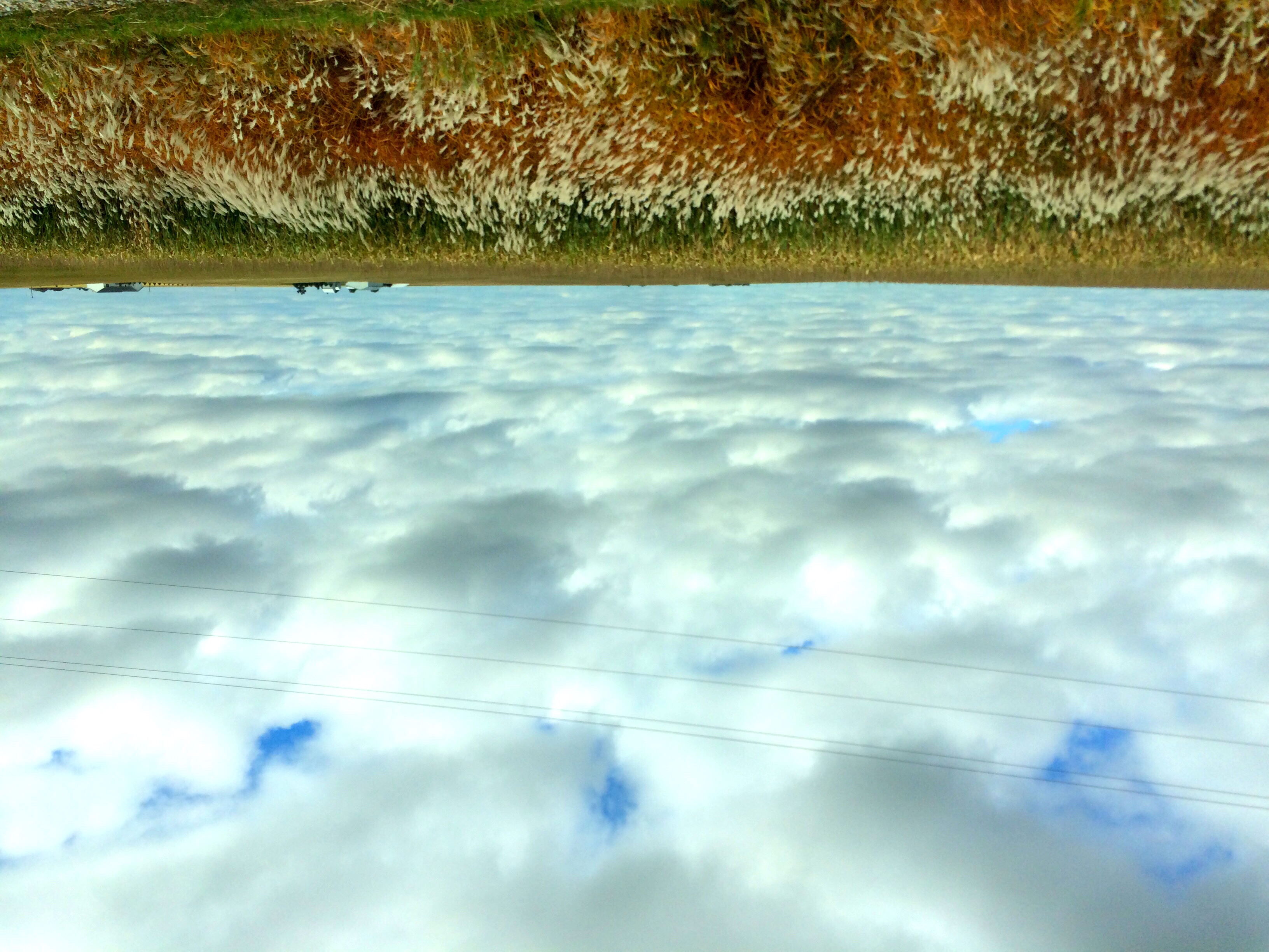
Across a sea of corn

The meadow (normal exposure)
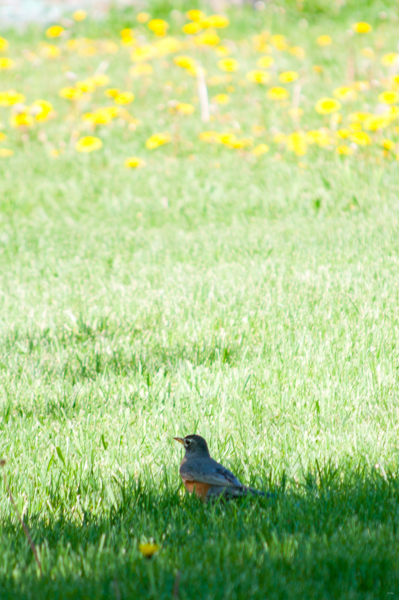
American Robin & Dandelions

Below the Weeds

Fields of soybeans

Backyard after Frosty Fog
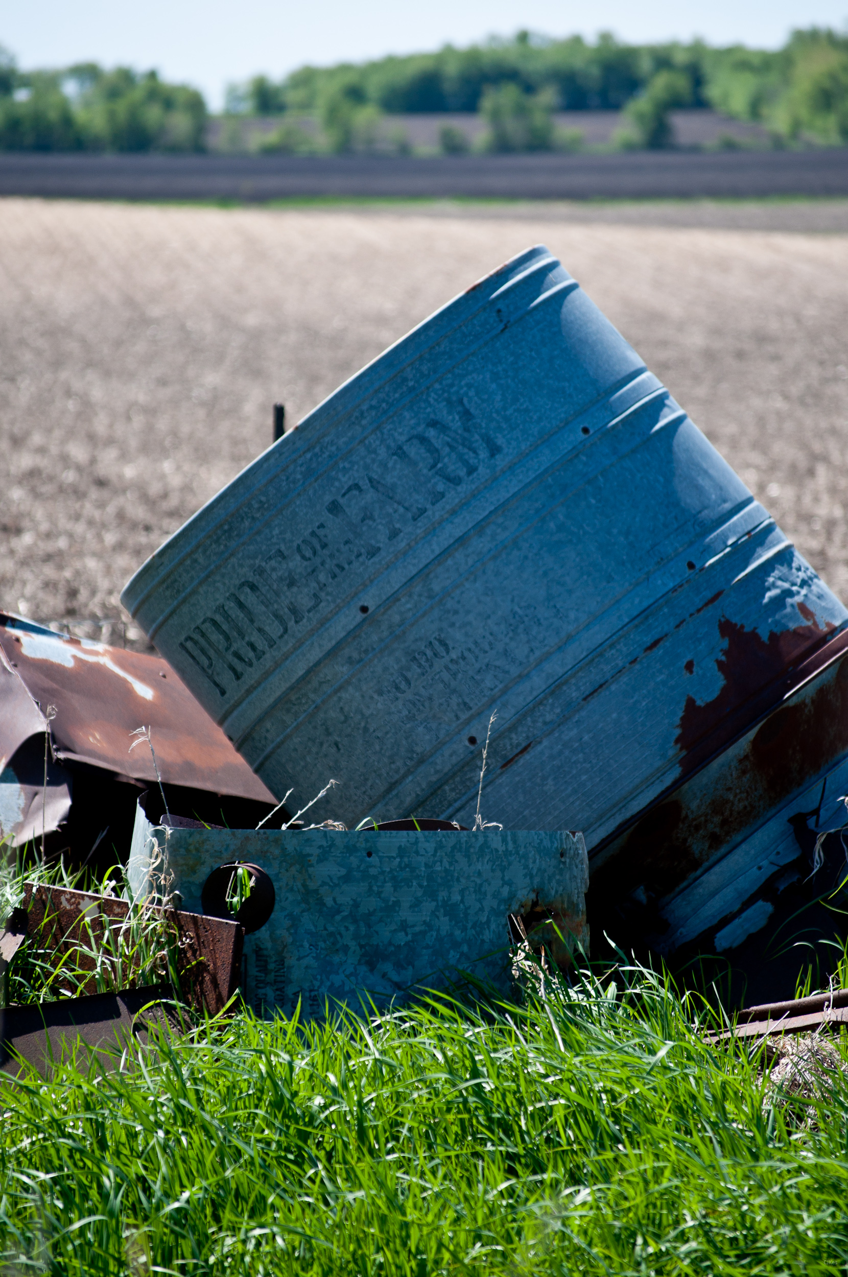
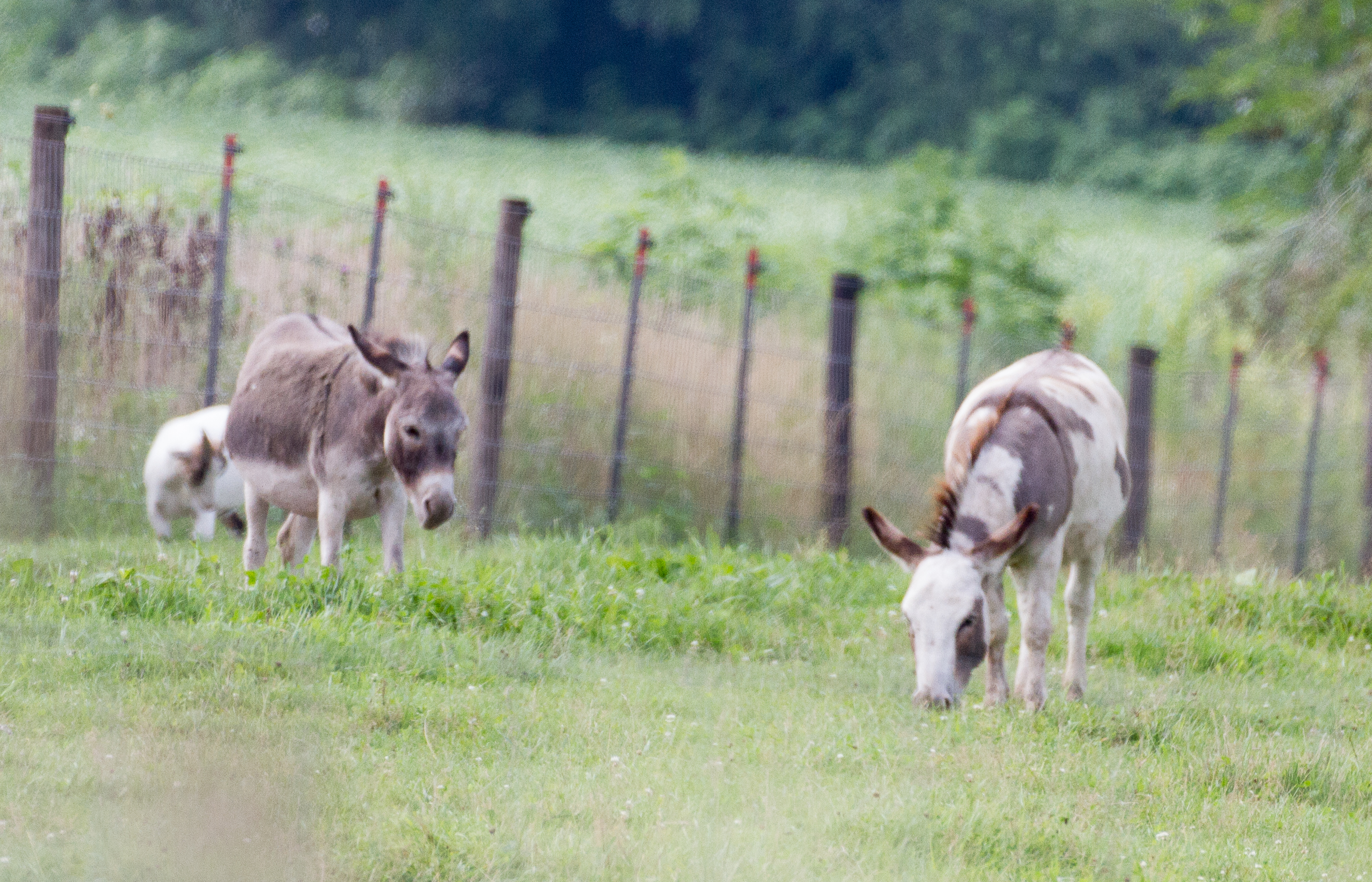
Pride of the Farm

Along the Cedar River in morning.

Pleasant Creek Sunset

The tall grass
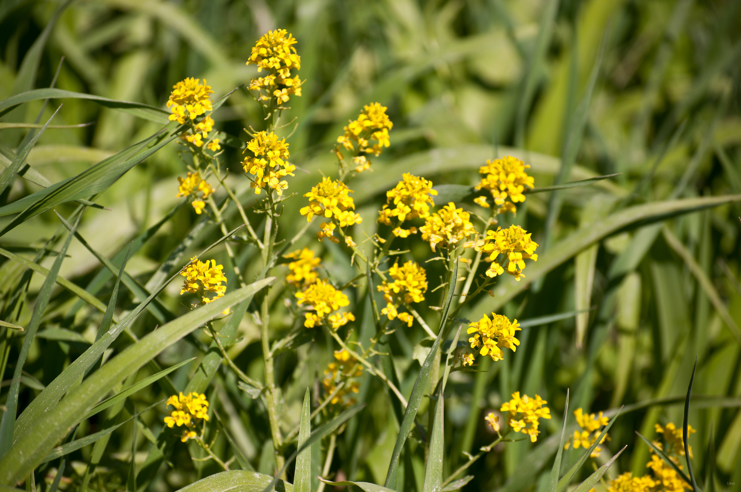
Yellow Flowers

Grasshopper Sparrow
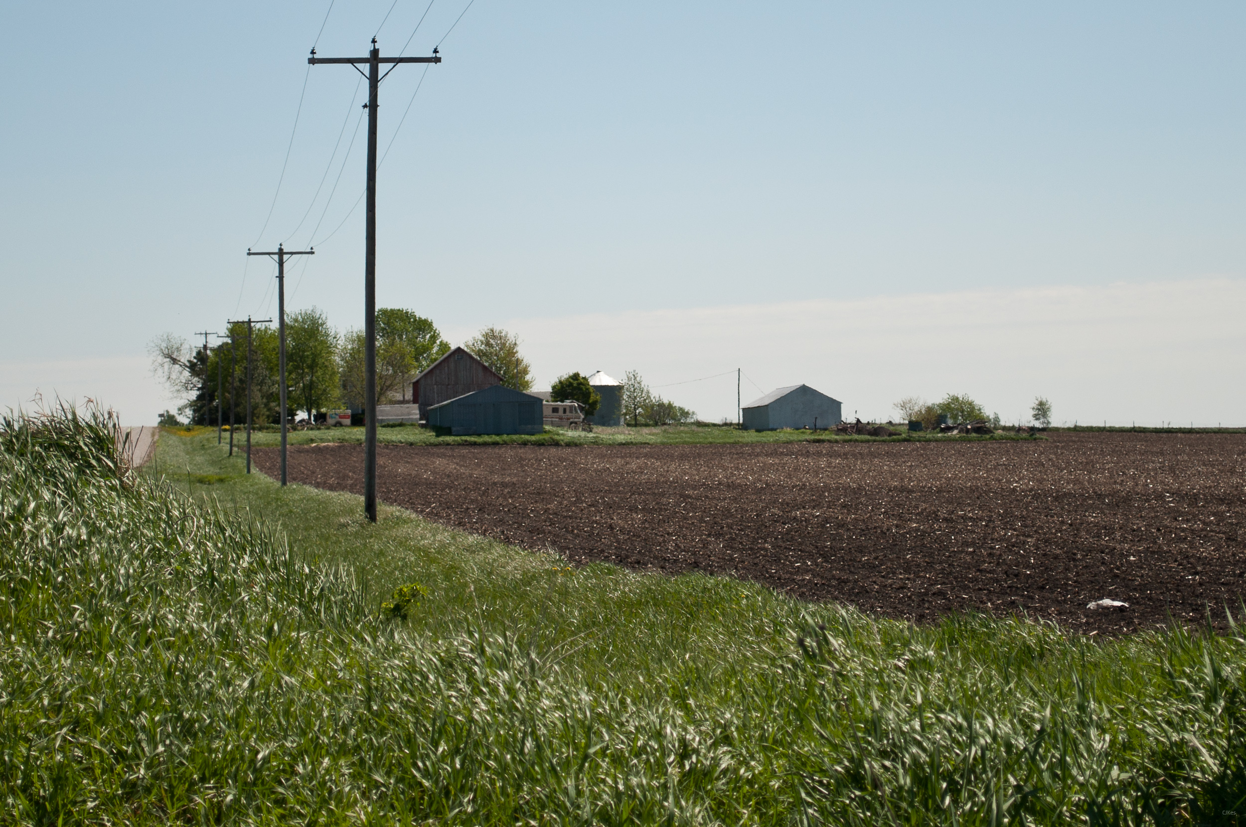
Country living
Grandma & Dale's Farm
untitled20160730-22

Stars over the Cedar River

The meadow (in HDR)
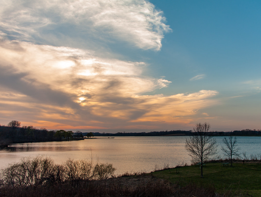
The cloudy lake
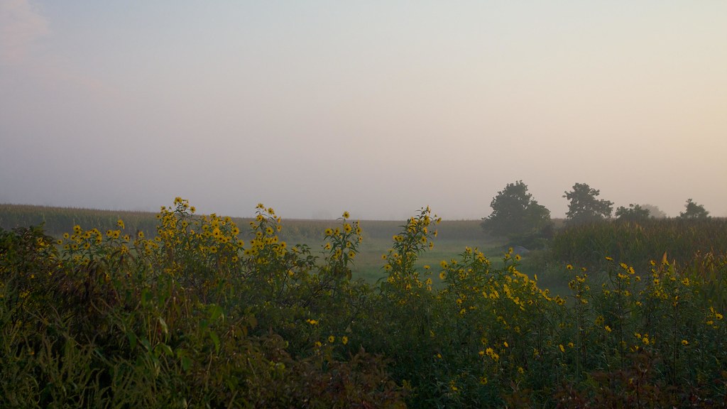
Sunflowers emerge from the fog
Topographic Map of Washington, IA, USA
Find elevation by address:

Places in Washington, IA, USA:
Places near Washington, IA, USA:
3527 Standlea Rd
Midway Rd, Marion, IA, USA
Fayette
3377 64th St
Otter Creek
1560 Cedar Bend Dr
Monroe
47 Vinton St, Palo, IA, USA
Palo
13 Lincoln Dr
110 Dry Creek Ct
110 Freese Ct
2800 Hollenbeck Rd
4559 Willow St
Pearl St, Shellsburg, IA, USA
Shellsburg
Linn County
106 Taylor St
4416 Viola St Ne
6091 Indian Dr
Recent Searches:
- Elevation of Tenjo, Cundinamarca, Colombia
- Elevation of Côte-des-Neiges, Montreal, QC H4A 3J6, Canada
- Elevation of Bobcat Dr, Helena, MT, USA
- Elevation of Zu den Ihlowbergen, Althüttendorf, Germany
- Elevation of Badaber, Peshawar, Khyber Pakhtunkhwa, Pakistan
- Elevation of SE Heron Loop, Lincoln City, OR, USA
- Elevation of Slanický ostrov, 01 Námestovo, Slovakia
- Elevation of Spaceport America, Co Rd A, Truth or Consequences, NM, USA
- Elevation of Warwick, RI, USA
- Elevation of Fern Rd, Whitmore, CA, USA