Elevation of Pearl St, Shellsburg, IA, USA
Location: United States > Iowa > Benton County > Shellsburg >
Longitude: -91.869099
Latitude: 42.0942931
Elevation: 243m / 797feet
Barometric Pressure: 98KPa
Elevation Map:
Satellite Map:
Related Photos:
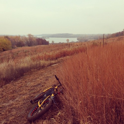
Stopping to enjoy this view.
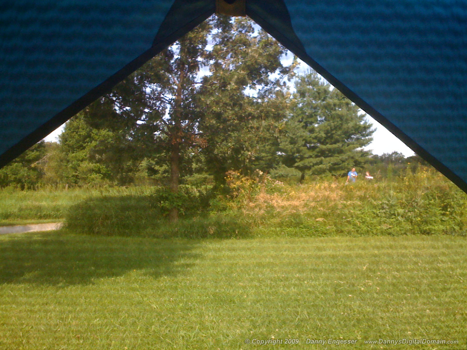
I've got this view this mornin'. Bonus points if you can name the couple in this photo!

The sun ducks behind the clouds

The Lazy Summer Days of 2013

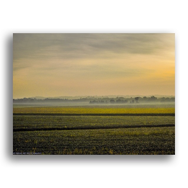
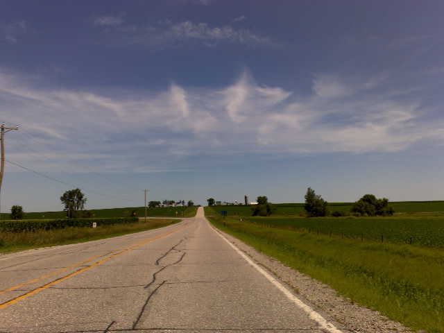
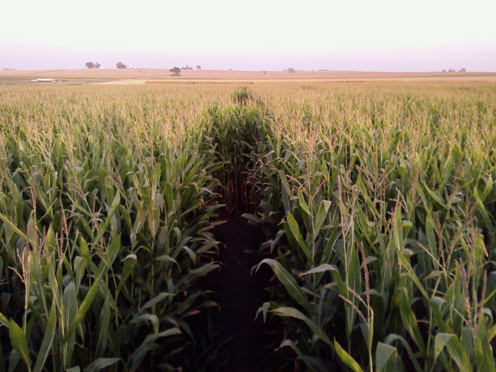
Across a sea of corn
Read Between the Lines
Blue Steel took a picture!
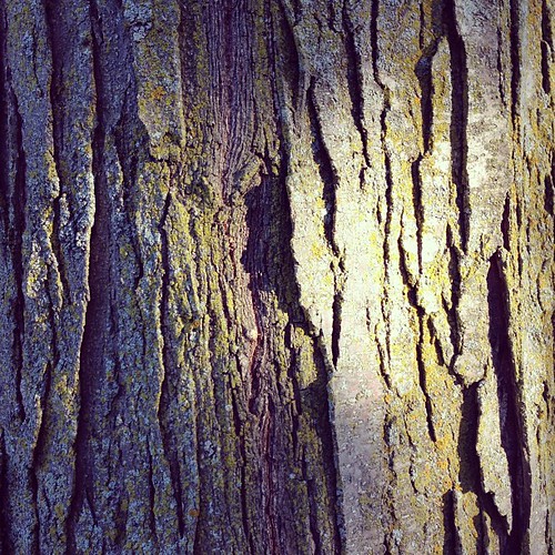
Sunburst Honeylocust. #bark
Blue Steel took a picture!
Blue Steel took a picture!

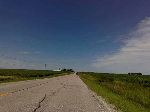
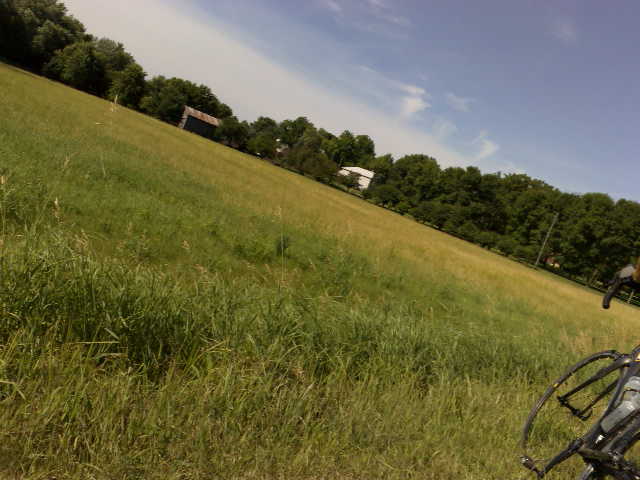
Fields of soybeans

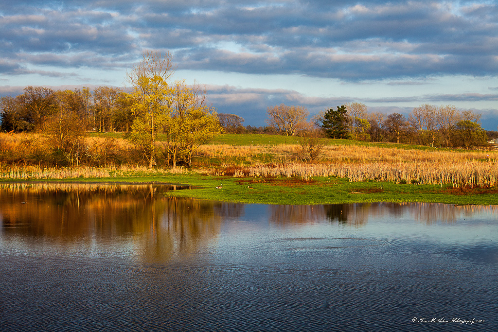
Back Waters
20120324-IMG_027878.JPG
Corn Maze @ Bloomsbury Farm
Mar 25 2007b 026
Country living
Mar 25 2007b 021
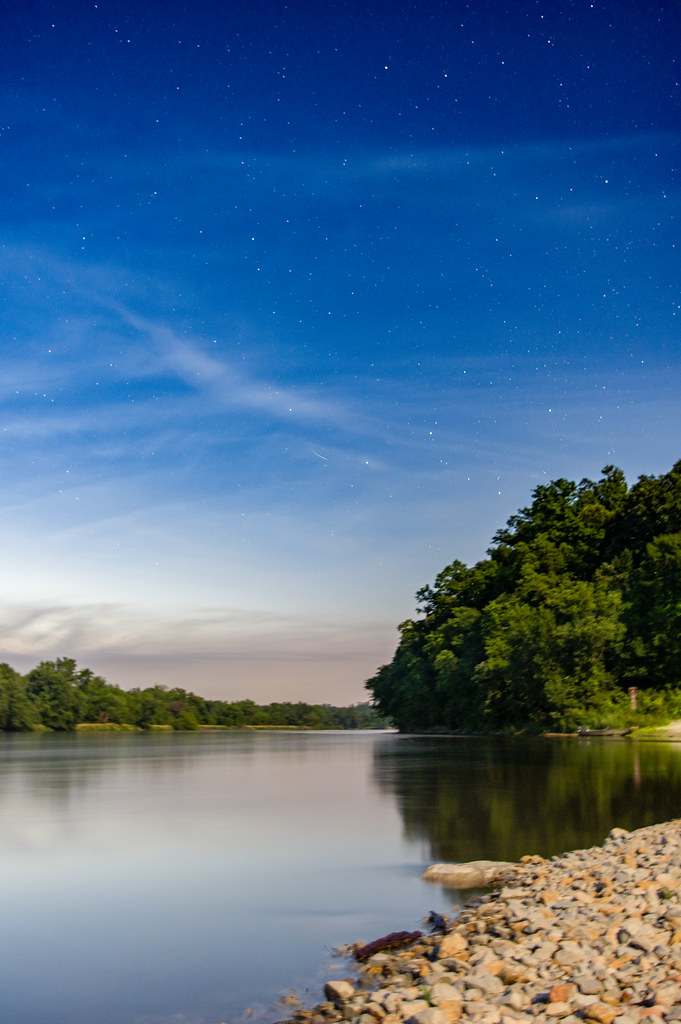
Stars over the Cedar River

The meadow (normal exposure)

Backyard after Frosty Fog

Along the Cedar River in morning.
iphone-dump 495
Topographic Map of Pearl St, Shellsburg, IA, USA
Find elevation by address:

Places near Pearl St, Shellsburg, IA, USA:
Shellsburg
106 Taylor St
3377 64th St
Fayette
2800 Hollenbeck Rd
4559 Willow St
1560 Cedar Bend Dr
110 Dry Creek Ct
Palo
110 Freese Ct
47 Vinton St, Palo, IA, USA
13 Lincoln Dr
Fremont
Atkins
76 Main Ave, Atkins, IA, USA
63rd St, Vinton, IA, USA
Clinton
Washington
3527 Standlea Rd
N Glen Dr, Palo, IA, USA
Recent Searches:
- Elevation of Luther Road, Luther Rd, Auburn, CA, USA
- Elevation of Unnamed Road, Respublika Severnaya Osetiya — Alaniya, Russia
- Elevation of Verkhny Fiagdon, North Ossetia–Alania Republic, Russia
- Elevation of F. Viola Hiway, San Rafael, Bulacan, Philippines
- Elevation of Herbage Dr, Gulfport, MS, USA
- Elevation of Lilac Cir, Haldimand, ON N3W 2G9, Canada
- Elevation of Harrod Branch Road, Harrod Branch Rd, Kentucky, USA
- Elevation of Wyndham Grand Barbados Sam Lords Castle All Inclusive Resort, End of Belair Road, Long Bay, Bridgetown Barbados
- Elevation of Iga Trl, Maggie Valley, NC, USA
- Elevation of N Co Rd 31D, Loveland, CO, USA