Elevation of Shellsburg, IA, USA
Location: United States > Iowa > Benton County >
Longitude: -91.869323
Latitude: 42.0945385
Elevation: 242m / 794feet
Barometric Pressure: 98KPa
Elevation Map:
Satellite Map:
Related Photos:
Stopping to enjoy this view.
I've got this view this mornin'. Bonus points if you can name the couple in this photo!
Boy, you're gonna carry that weight . . . (5 of 8)

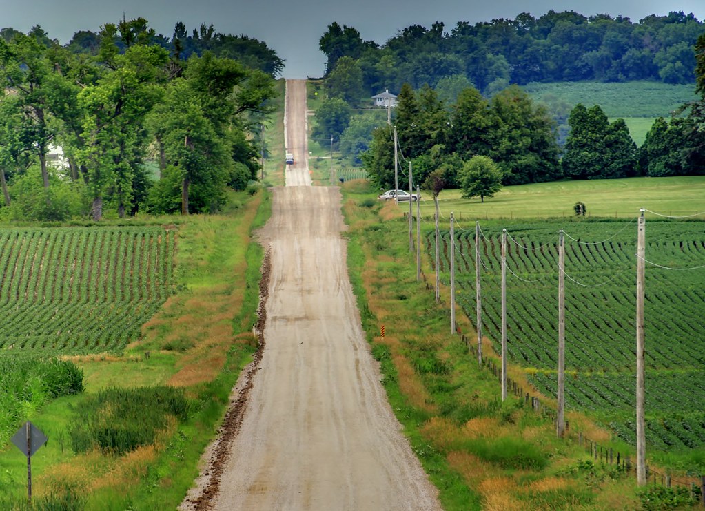
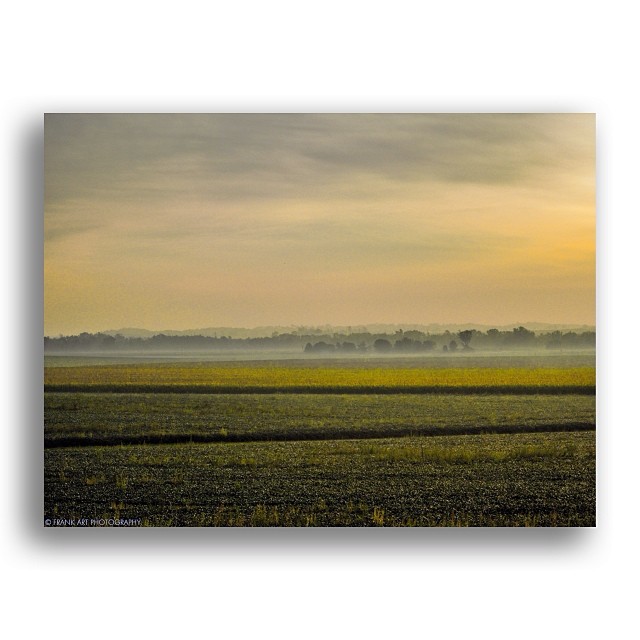
Across a sea of corn

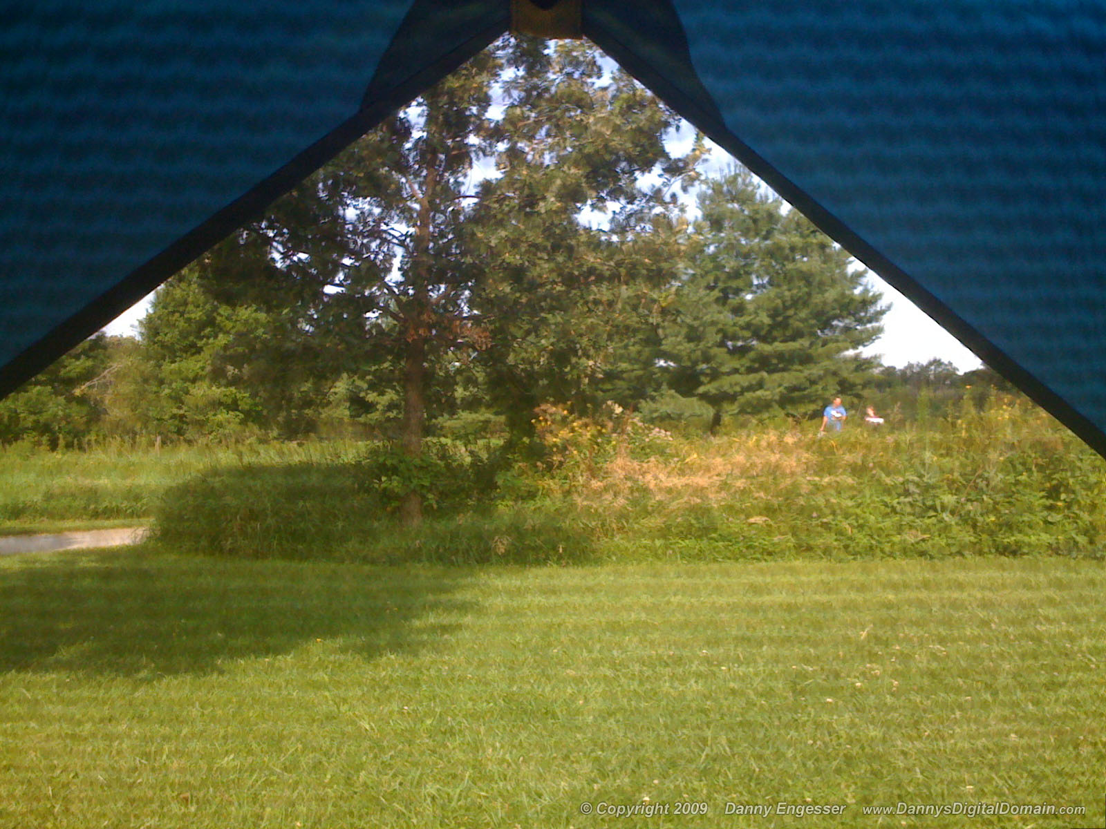
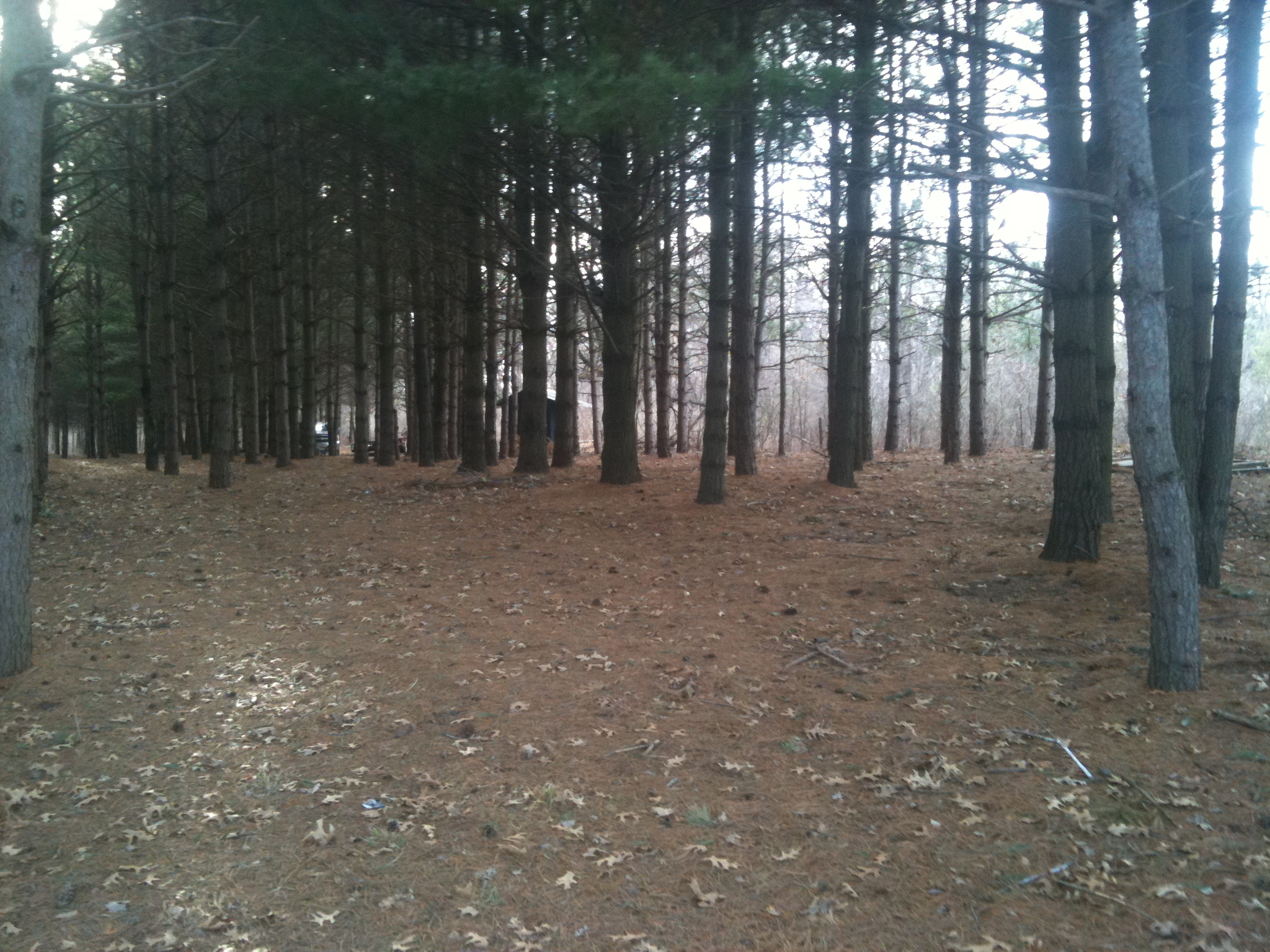
The meadow (normal exposure)
Blue Steel took a picture!
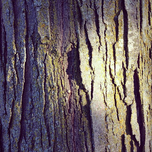
Sunburst Honeylocust. #bark
Blue Steel took a picture!
Blue Steel took a picture!

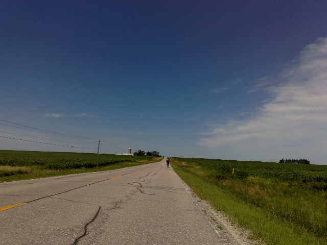
Fields of soybeans

Back Waters

Backyard after Frosty Fog
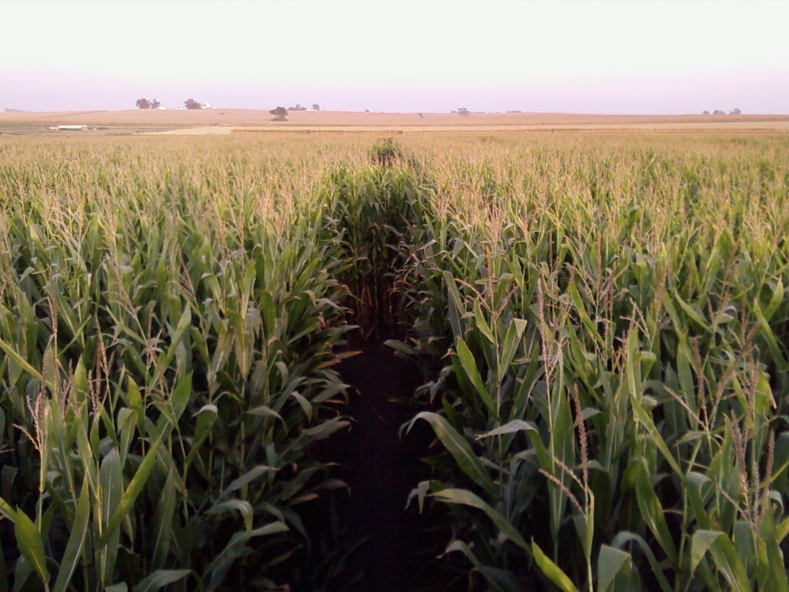
Corn Maze @ Bloomsbury Farm

The Lazy Summer Days of 2013
Read Between the Lines
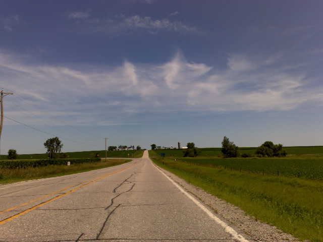
iphone-dump 495
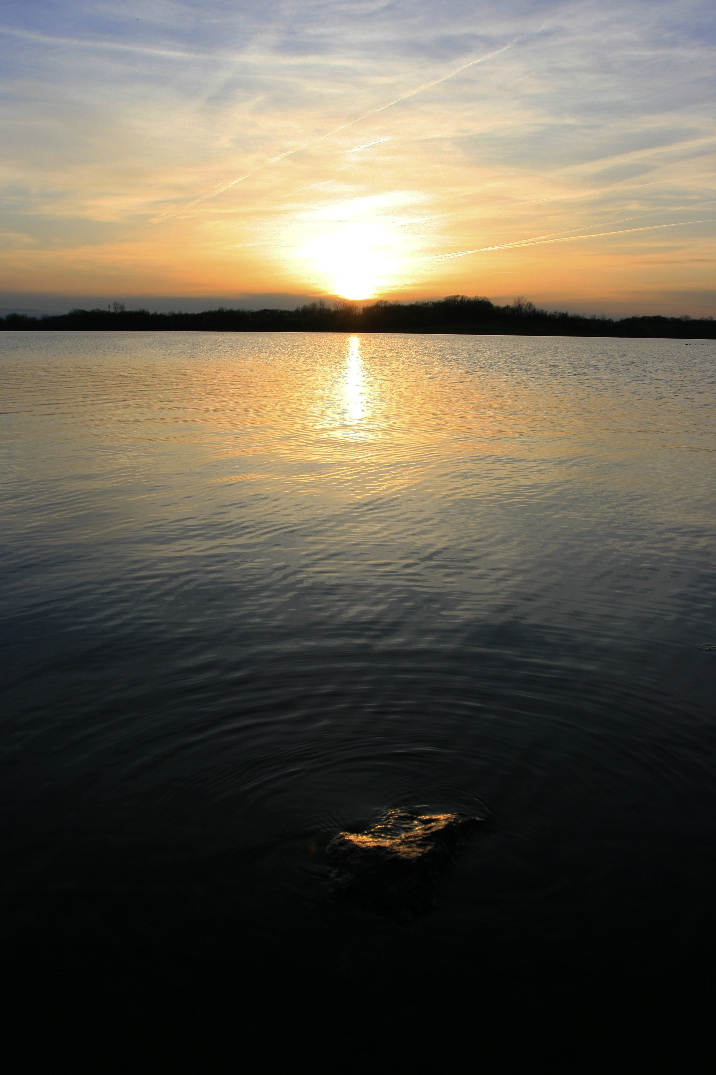
Pleasant Creek Sunset
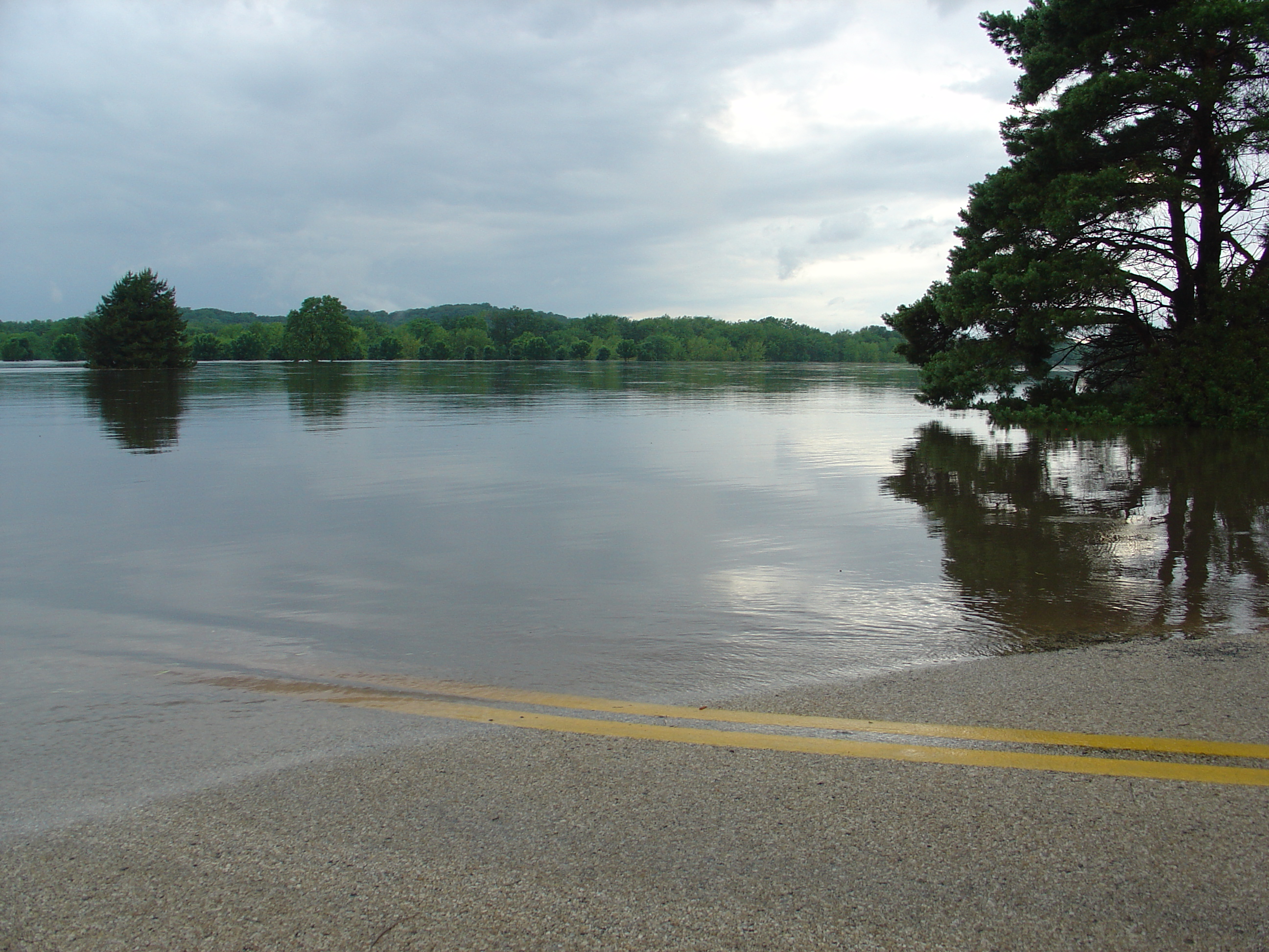
Amphibious road and a new lake...

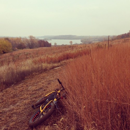
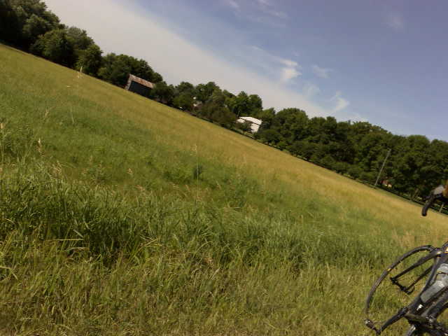
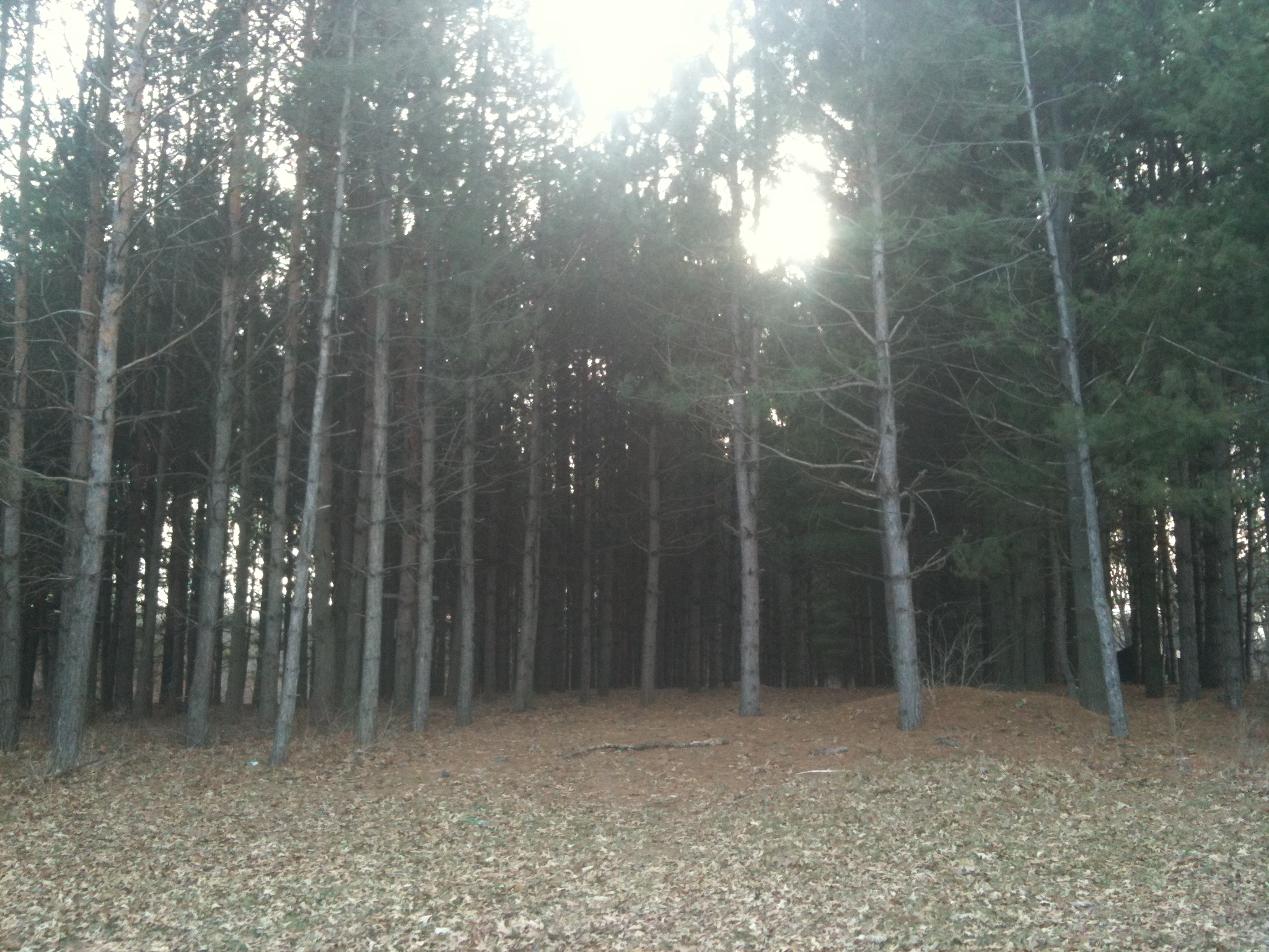
The tall grass

Grasshopper Sparrow
iphone-dump 497
Mar 25 2007b 026
Topographic Map of Shellsburg, IA, USA
Find elevation by address:

Places in Shellsburg, IA, USA:
Places near Shellsburg, IA, USA:
Pearl St, Shellsburg, IA, USA
106 Taylor St
3377 64th St
Fayette
2800 Hollenbeck Rd
4559 Willow St
1560 Cedar Bend Dr
110 Dry Creek Ct
Palo
110 Freese Ct
47 Vinton St, Palo, IA, USA
13 Lincoln Dr
Fremont
Atkins
76 Main Ave, Atkins, IA, USA
63rd St, Vinton, IA, USA
Clinton
Washington
3527 Standlea Rd
N Glen Dr, Palo, IA, USA
Recent Searches:
- Elevation of 1 Zion Park Blvd, Springdale, UT, USA
- Elevation of Ganderbal
- Elevation map of Konkan Division, Maharashtra, India
- Elevation of Netaji Nagar, Hallow Pul, Kurla, Mumbai, Maharashtra, India
- Elevation of Uralsk, Kazakhstan
- Elevation of 45- Kahana Dr, Honokaa, HI, USA
- Elevation of New Mexico 30, NM-30, Española, NM, USA
- Elevation of Santmyer Way, Charles Town, WV, USA
- Elevation of Riserva Naturale Lago di Montepulciano, Italy
- Elevation of Marjorie Lane, Marjorie Ln, Whitefield, NH, USA