Elevation of Delta, UT, USA
Location: United States > Utah > Millard County > Delta >
Longitude: -112.52450
Latitude: 39.4356084
Elevation: 1448m / 4751feet
Barometric Pressure: 85KPa
Elevation Map:
Satellite Map:
Related Photos:

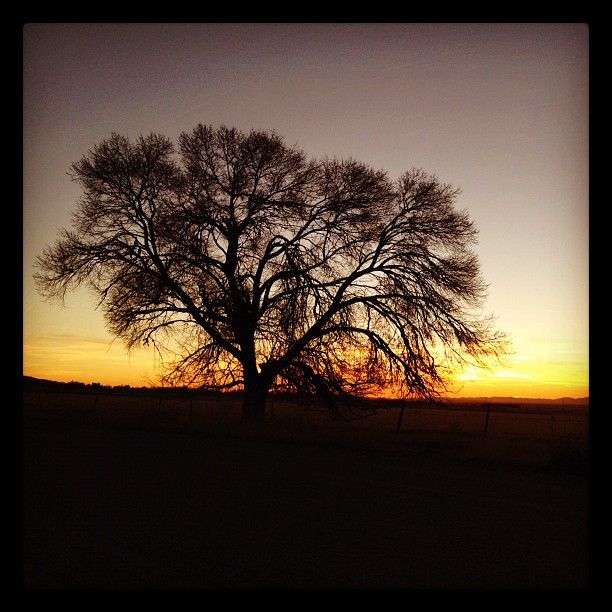
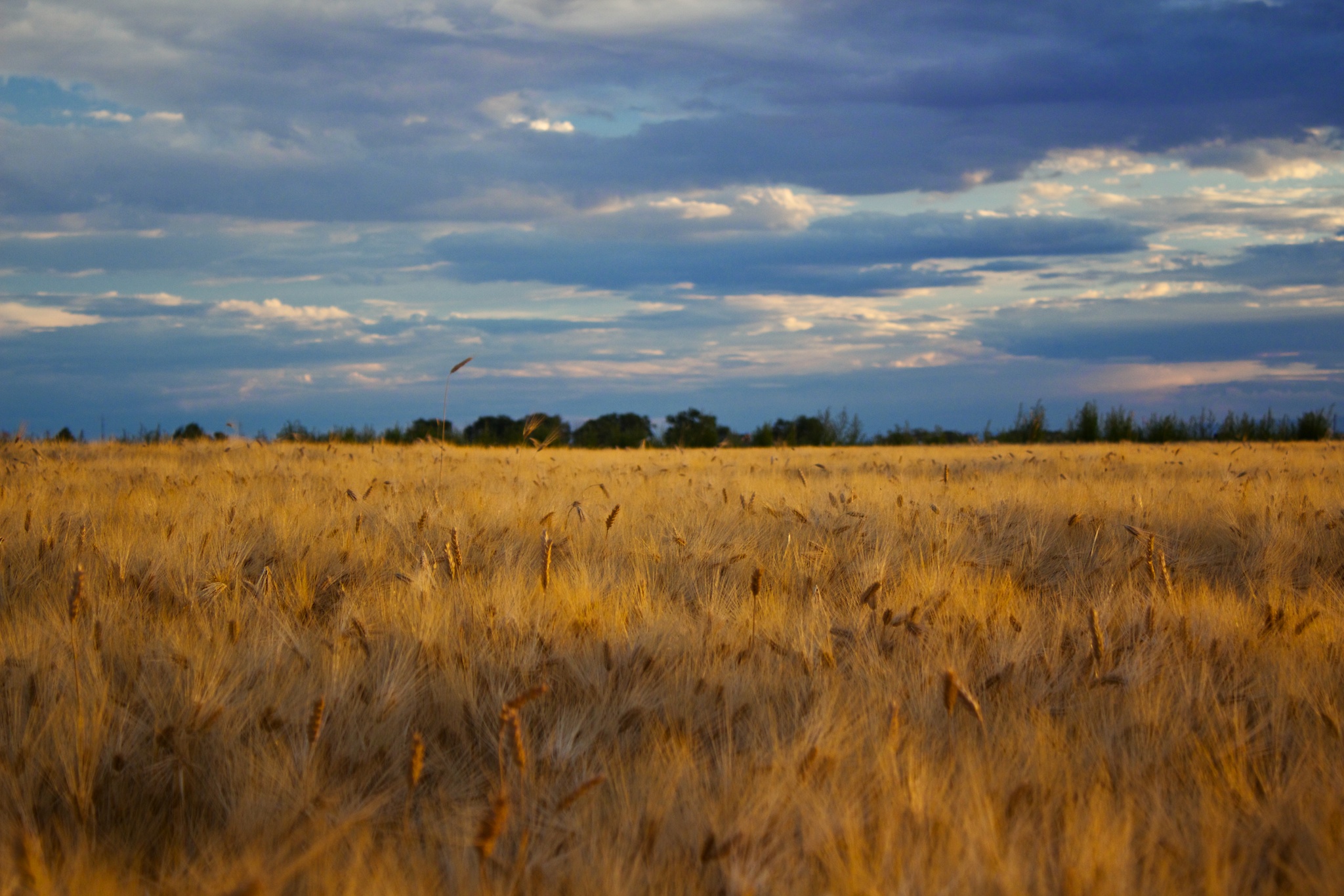
Delta Sunset HDR

Lift Off

Gamma Squadron
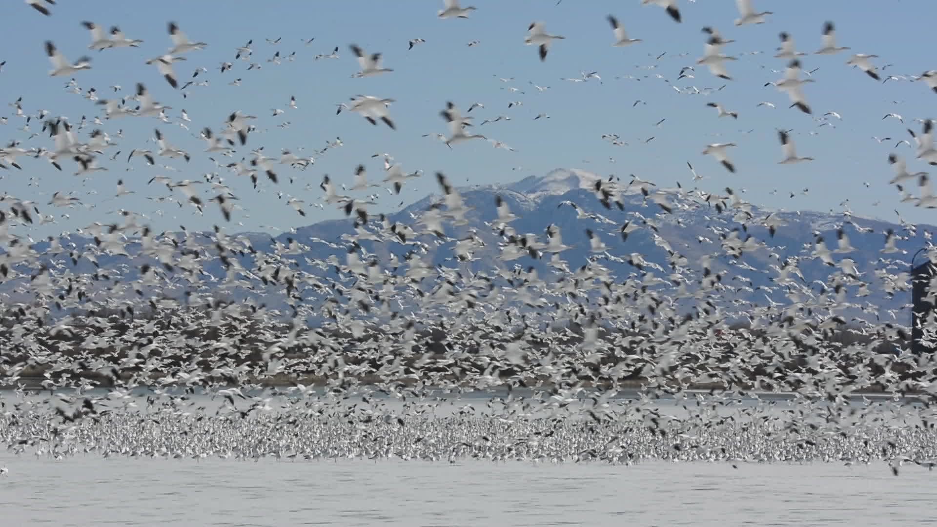
15000 Lesser Snow Geese

The #CoalAshChronicles team is getting unprecedented access to film this morning at the #coal fired Intermountain Power Plant outside of Delta, #Utah. rhifionn, wish you were here!
Sunset from Oak City
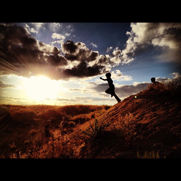
Ethan jumping off the sand dunes
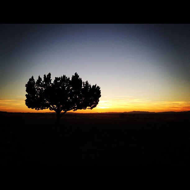
Juniper silhouette at through sunset
Depth of Field
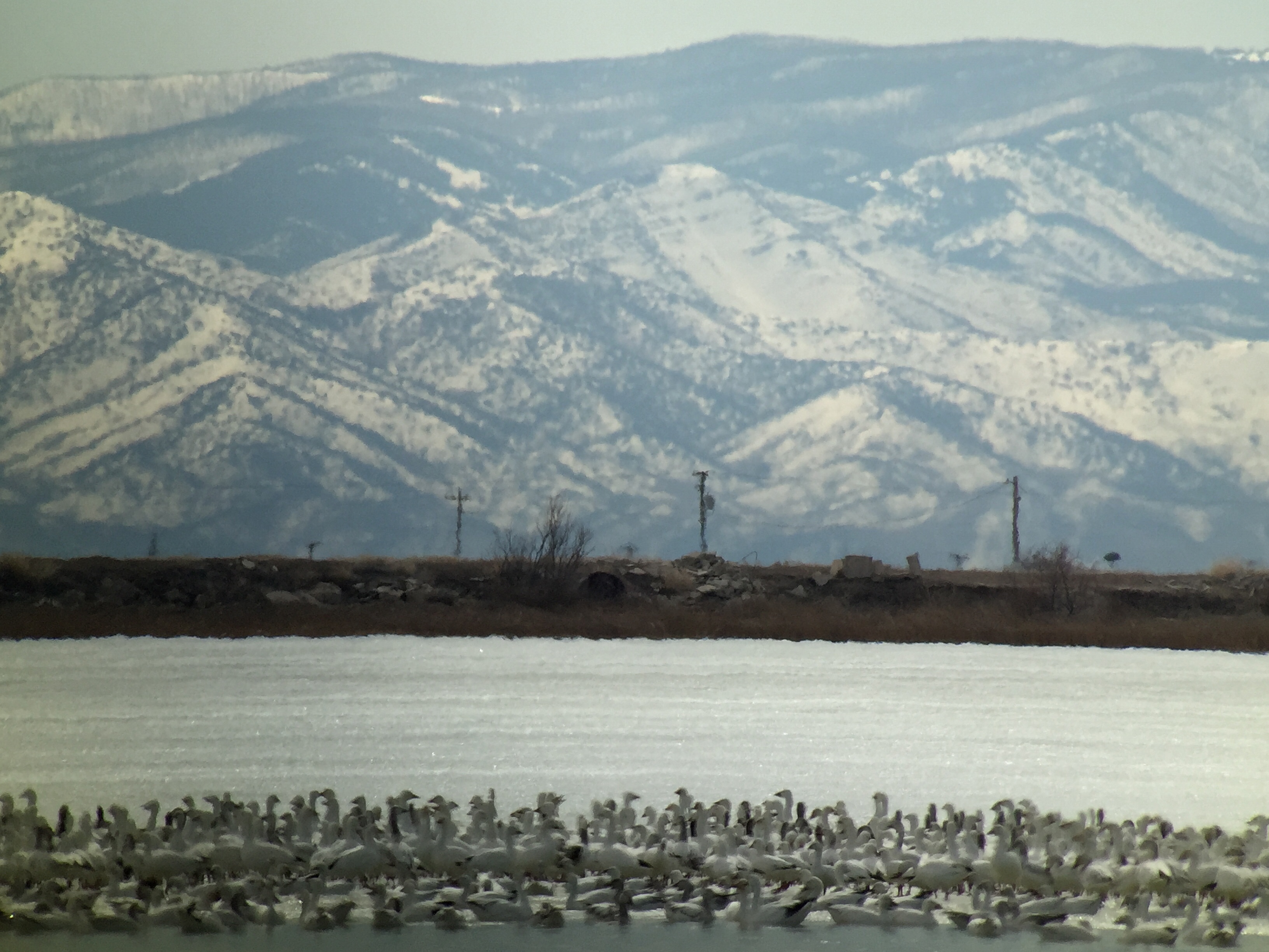
Snow & Ross's Geese - Gunnison Bend Reservoir, Millard Co, UT - Feb 27, 2016
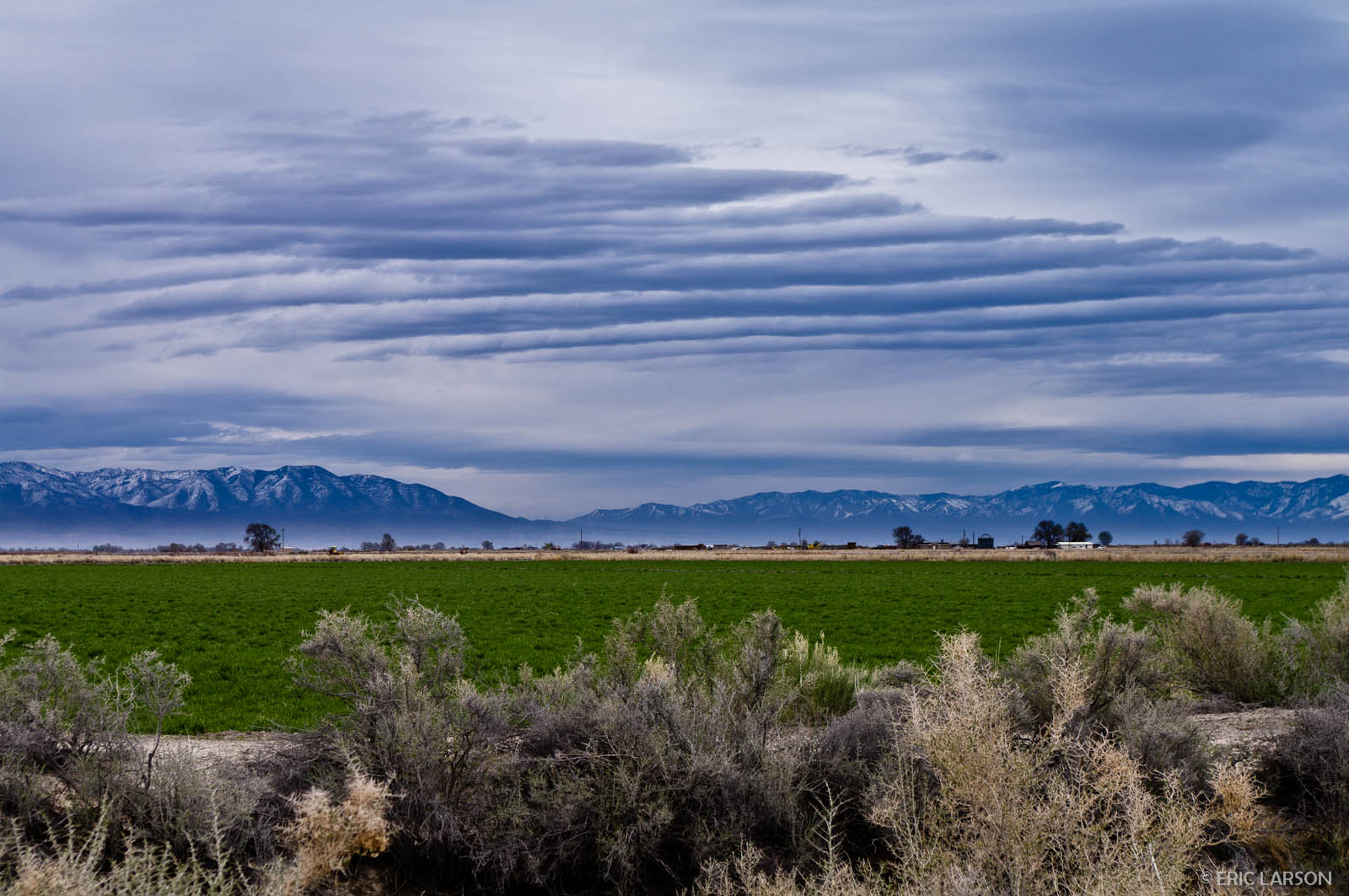
Clouds over the Pahvant Mountains, Millard County, UT
Topographic Map of Delta, UT, USA
Find elevation by address:

Places near Delta, UT, USA:
3060 W 2600 N St
Juab County
Utah Osr Land Co-op At Riverbed Ranch
Dugway
Dugway Proving Ground
Deseret Peak
Tooele County
Salt Lake City
Delle
Rocky Peak
Knolls
Utah Test And Training Range North
Great Salt Lake Desert
Bonneville Salt Flats
Recent Searches:
- Elevation of Elwyn Dr, Roanoke Rapids, NC, USA
- Elevation of Congressional Dr, Stevensville, MD, USA
- Elevation of Bellview Rd, McLean, VA, USA
- Elevation of Stage Island Rd, Chatham, MA, USA
- Elevation of Shibuya Scramble Crossing, 21 Udagawacho, Shibuya City, Tokyo -, Japan
- Elevation of Jadagoniai, Kaunas District Municipality, Lithuania
- Elevation of Pagonija rock, Kranto 7-oji g. 8"N, Kaunas, Lithuania
- Elevation of Co Rd 87, Jamestown, CO, USA
- Elevation of Tenjo, Cundinamarca, Colombia
- Elevation of Côte-des-Neiges, Montreal, QC H4A 3J6, Canada