Elevation of Delle, UT, USA

Location: United States > Utah > Tooele County >

Longitude: -112.77763

Latitude: 40.7599343

Elevation: 1297m / 4255feet

Barometric Pressure: 87KPa

Elevation Map:

elevation map of Delle, UT, USA

Satellite Map:

Satellite map of Delle, UT, USA

Related Photos:

grantsville utah unitedstates skullvalley lonerock utahisawesome clouds pink panorama westernutah blmland sunset ralphangelohumgrige
Magical Unicorns Flying Across The Sky and Farting Clouds
grantsville utah unitedstates
Skull Valley Lone Rock
track usa utah i80 exit62 railroad westernpacific unionpacific bridge highway interstate80
Old highway, old railroad... 20111022_4333
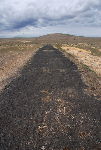
mavic 2 pro west desert utah bird’s eye top down drone photography
Lonely Dirt Roads
railroad abandoned sign geotagged switch spur utah industrial marblehead unionpacific abandonment fullsize limeplant blocksignal ut2008may
Dead block signal at Marblehead... 20080507_7239
road plant storm abandoned industry rain geotagged utah marblehead lime ut2008may
Abandoned Marblehead lime plant
railroad abandoned geotagged spur utah site marblehead desert unionpacific lime quarry wye unused limeplant ut2008may h700h industrialspur
Marblehead wye: view from the apex... 20080507_7126
road railroad mountains abandoned clouds landscape geotagged spur utah marblehead desert unionpacific fullsize wye westernpacific gradecrossing lakesidemountains ut2008may skunkridgeroad
.20080507_7084...Marblehead wye, from the grade crossing (see image notes)
abandoned digital rural buildings utah industrial decay empty structures weathered decrepit d300 delle storagetanks chemicallime dellelimefacility
lime processing center
road mountains geotagged utah highway pavement lakeside valley vista curve fromcar whiteline yellowline gulmidstripe lakesidemountains puddlevalley ut2008may
First view of Puddle Valley... 20080506_5926
summer sky lake storm mountains art me nature water beer coffee rain weather night clouds dark spectacular landscape island fire evening utah leaf nice sand escape play power view desert explorer flash great salt atmosphere loveit monsoon heat bolt buy electricity thunderstorm miles lightning lime alpha electrical ozone spark thunder atmospheric hazard chemical meteorology gsl thegreatsaltlake rld lightningstrike dolomite keeper sps electricalstorm noreally pacificflyway processingplant rustling flightsoffancy buymeabeer scottstringham rustlingleafdesign marbleheadmountain designmy
Marblehead, Utah; "PROCESSING PLANT"
mountains abandoned digital rural truck vintage landscape miniature decay fake rusted brokendown d300 delle tiltshift chemicallime 3rdplaceaward dellelimefacility utahcountyfair
miniature truck
sign geotagged utah highway military lakeside interstate i80 fromcar interchange interstate80 uttr ut2008may
Turn left for Lakeside... 20080506_5910
longexposure night star utah ut trails moonlight meteor startrails img2805 lakesidemountains ©harleypebley
Moonlight with meteor
mountains abandoned digital rural truck vintage landscape utah decay rusted brokendown d300 delle chemicallime dellelimefacility
i heart trucks
building abandoned metal stairs utah rust closed decay structure facility delle chemicallime dellelimefacility
many stairs
door blue windows portrait building abandoned broken yellow utah friend rust closed decay gray warehouse quinn delle chemicallime dellelimefacility
quinn the "doorman" c/c
door blue windows portrait building abandoned broken yellow utah friend rust closed decay gray warehouse quinn delle chemicallime dellelimefacility
quinn the "doorman" b/c
white macro water utah sand nikon desert salt rowley crystalize d40 solidify
salt coral
lake macro water utah sand nikon desert salt twig stick rowley d40
alone in the desert
lake water utah sand nikon desert rowley d40
golden sand
up union pacific wp western up1943 sd70ah emd military honor spirit low ut shafter subdivision utah
UP 1943
sky mountains rock night stars landscape utah butte desert formation nightsky milkyway tooele lonerock skullvalley westdesert jamesudall
Lone Rock and the Milky Way
railroad selfportrait abandoned hat clouds self geotagged person spur utah marblehead unionpacific fullsize tilley wye westernpacific limeplant joetripod ut2008may davebeedon
.20080507_7135...Marblehead wye's guy
railroad mountains abandoned geotagged spur utah marblehead desert unionpacific lime abandonment wye unused limeplant lakesidemountains ut2008may h500h industrialspur
Marblehead wye: south leg... 20080507_7096
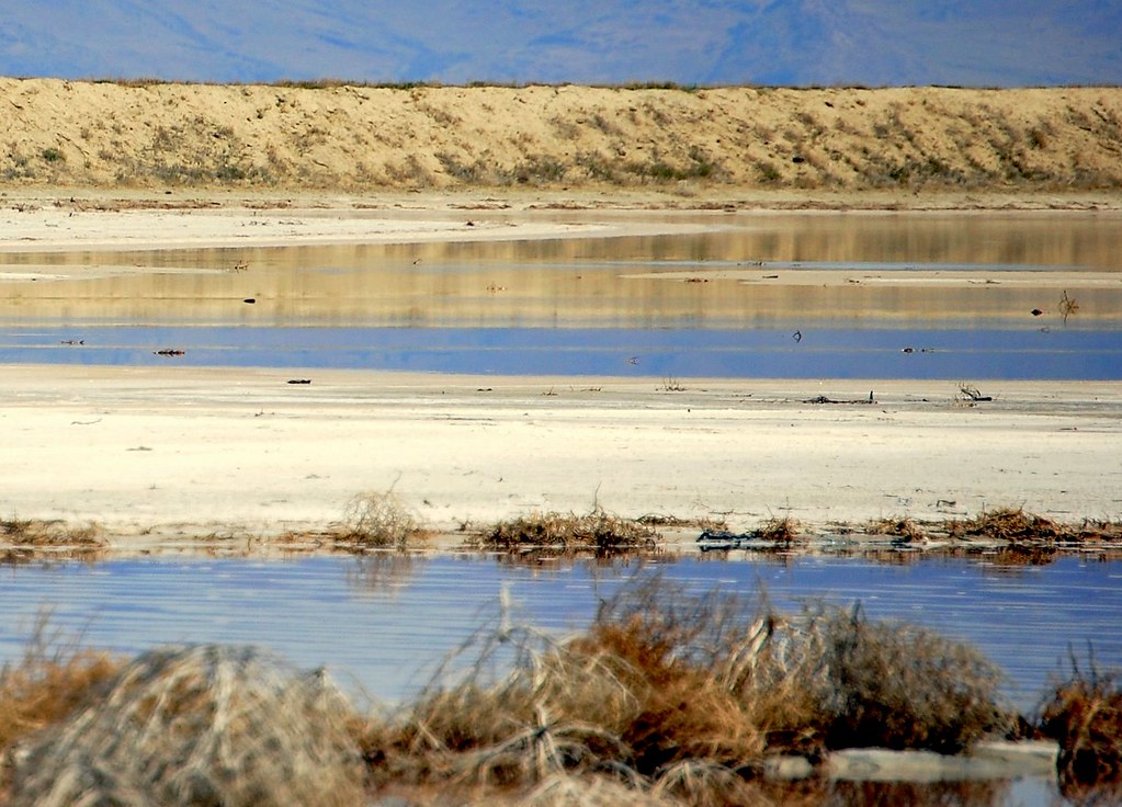
mountains water utah sand nikon desert salt tumbleweed rowley d40
wet desert
lake reflection water utah sand nikon desert salt rowley d40
blue and gold
sky white mountain black west night stars utah desert
Heavens & Earth
road light sunset west clouds landscape gold utah jeep 4x4 trail wrangler westdesert
Tough Face
road sunset sun storm west weather landscape utah desert jeep 4x4 wind off trail clounds
Plain Jane
landscape utah aerial oquirrhmountains
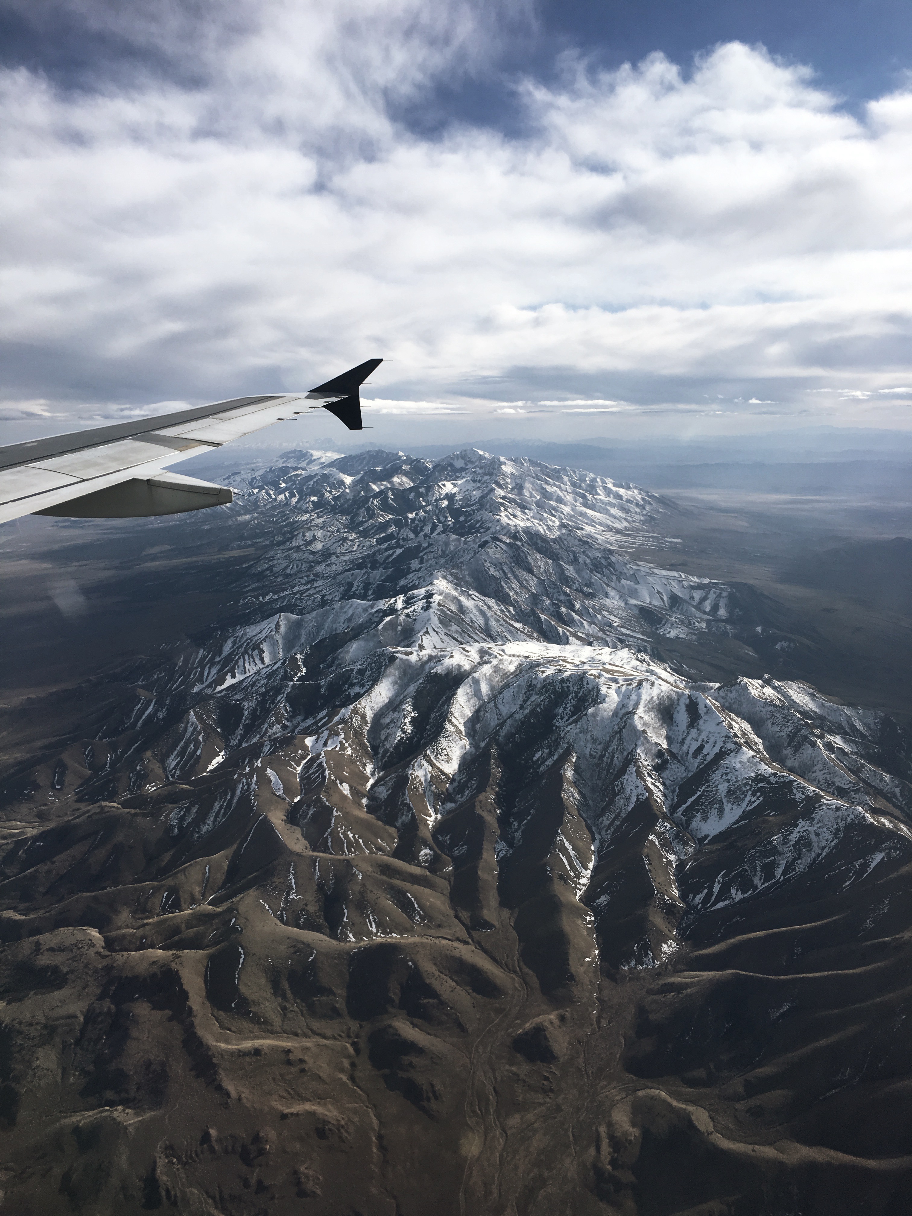
Oquirrh mountains on SLC approach
boy west cute rock climb utah kid child desert jeep 4x4 adventure lone height
Ted and Lone Rock
storm abandoned rain weather clouds landscape utah desert truckstop teddybear 1000 lightroom razed timpie ut2009oct
20091014_9485...Ominous sky over a depressing sight
light sunset west clouds landscape gold golden utah westdesert
Strange Moment
mountains abandoned digital rural truck vintage landscape utah decay rusted brokendown d300 delle chemicallime dellelimefacility
vintage truck
utah desert skullvalley westdesert
Morning in Skull Valley
mountains utah valley firepit lonerock shotgunshells skullvalley dugway
Fire Pit II
abandoned buildings utah rust closed desert kilns decay structures belts equipment conveyor facility barren delle chemicallime dellelimefacility
conveyor belts